Kamm to Regberg Gravel Route
A gravel cycling route starting from Nordhalben
Explore the scenic countryside from Kamm to Regberg on this challenging gravel route.
Map
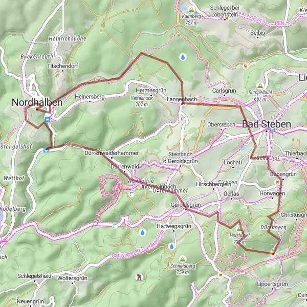
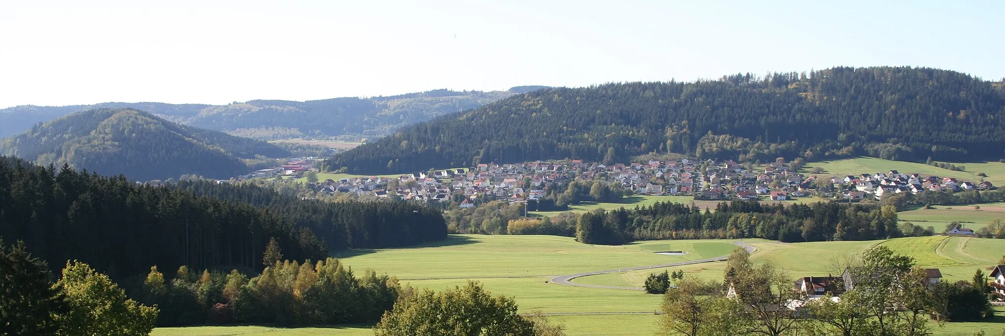
This gravel route takes you through beautiful landscapes and rural villages, offering a challenging and rewarding cycling experience. With a total ascent of 800 meters over a distance of 36 kilometers, this route is suitable for intermediate to advanced cyclists. Experience the serenity of the Kamm region, pass through Bad Steben with its renowned thermal baths, and admire the picturesque Holzhügel and Geroldsgrün along the way. Make sure to stop by Neumühle and Regberg, where you can enjoy stunning views and explore local attractions.
gravel
36 km
800 m
Tough
Route profile
Highlights on the route
0 km
0 km
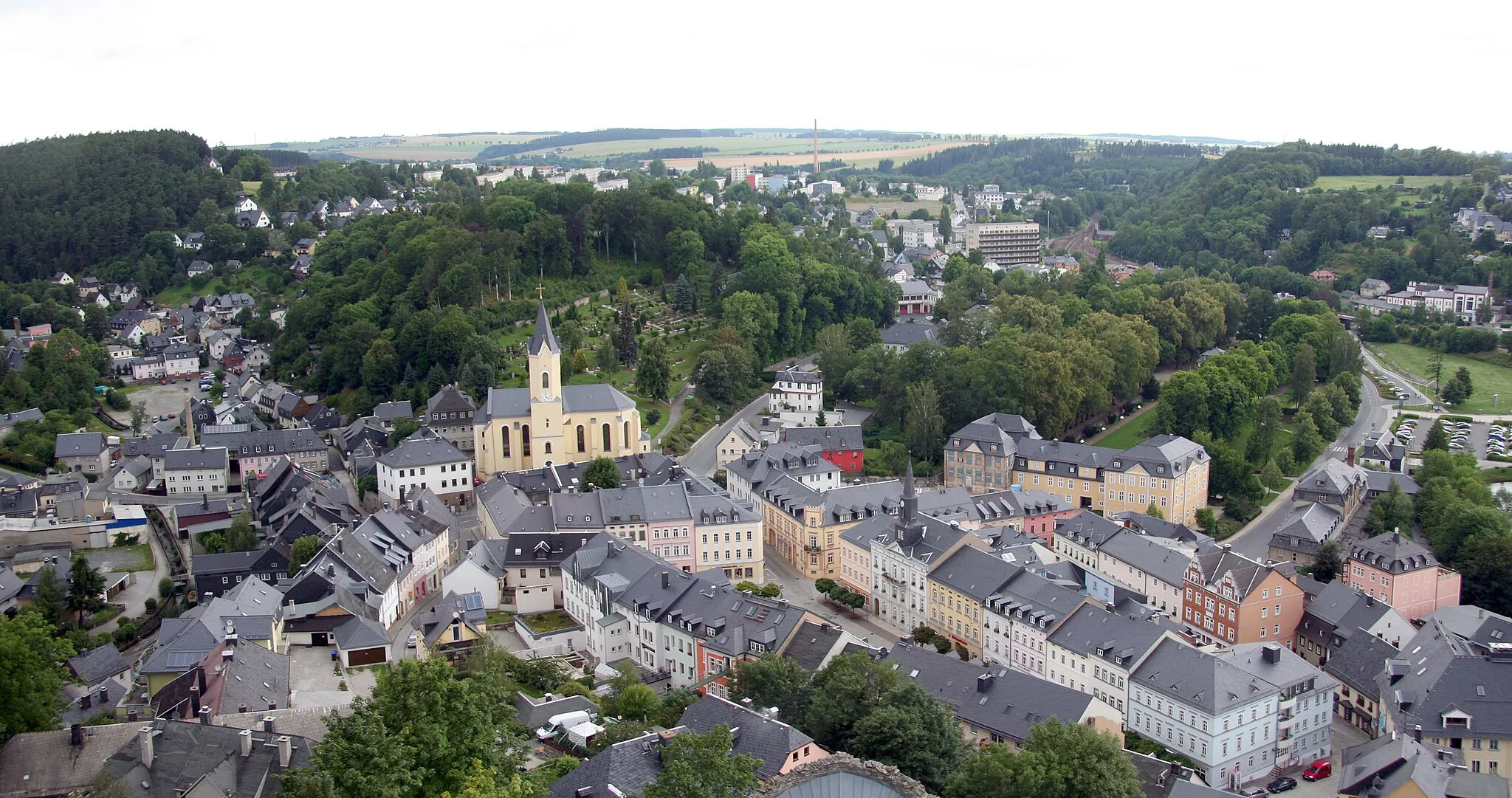
Start: Nordhalben City centerNordhalben: Nordhalben - Legendary Climbs in Oberfranken
Nordhalben is a small town located in Oberfranken, Germany. Cyclists will find a variety of challenging road cycling routes in this area, thanks to its hilly terrain. Nearby, cyclists can visit the famous Rodachtal cycle path, which offers beautiful views of the surrounding countryside. Nordhalben serves as a fantastic base for cyclists looking to conquer legendary climbs and experience the rich cycling heritage of Oberfranken.2 km
2 km
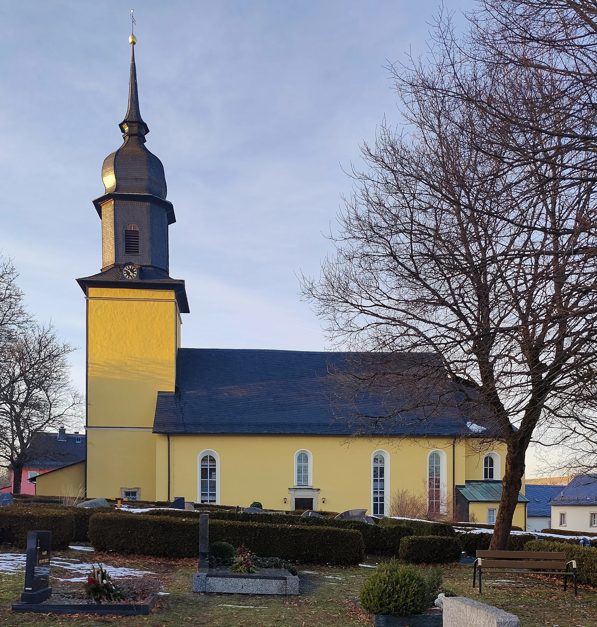
Kamm610 mPeakAs you cycle through Kamm, take a moment to appreciate the peaceful atmosphere of this rural village.
13 km
13 km
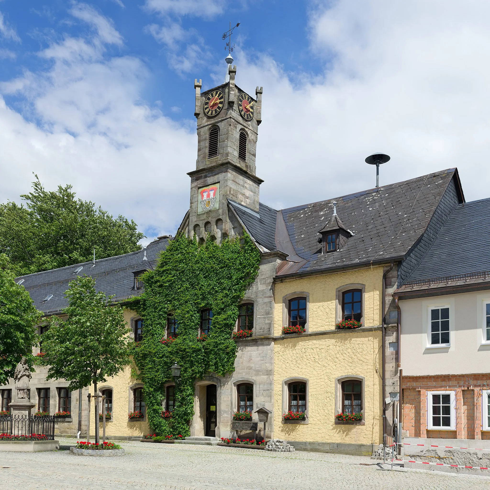
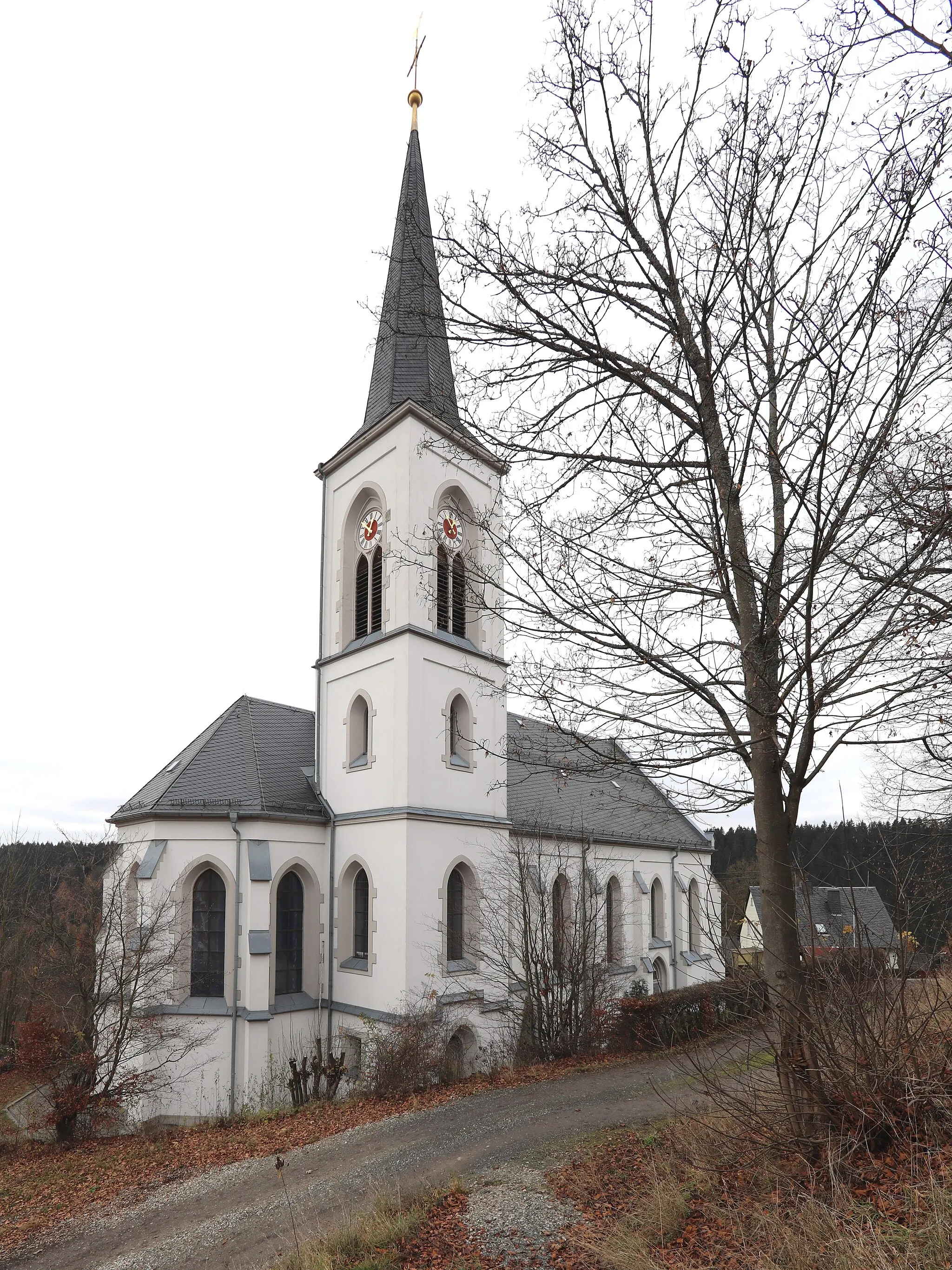
Bad StebenTownDon't miss the opportunity to relax and rejuvenate at the thermal baths in Bad Steben.
22 km
22 km
Holzhügel732 mPeakEnjoy the scenic beauty of Holzhügel as you cycle through this charming village.
26 km
26 km
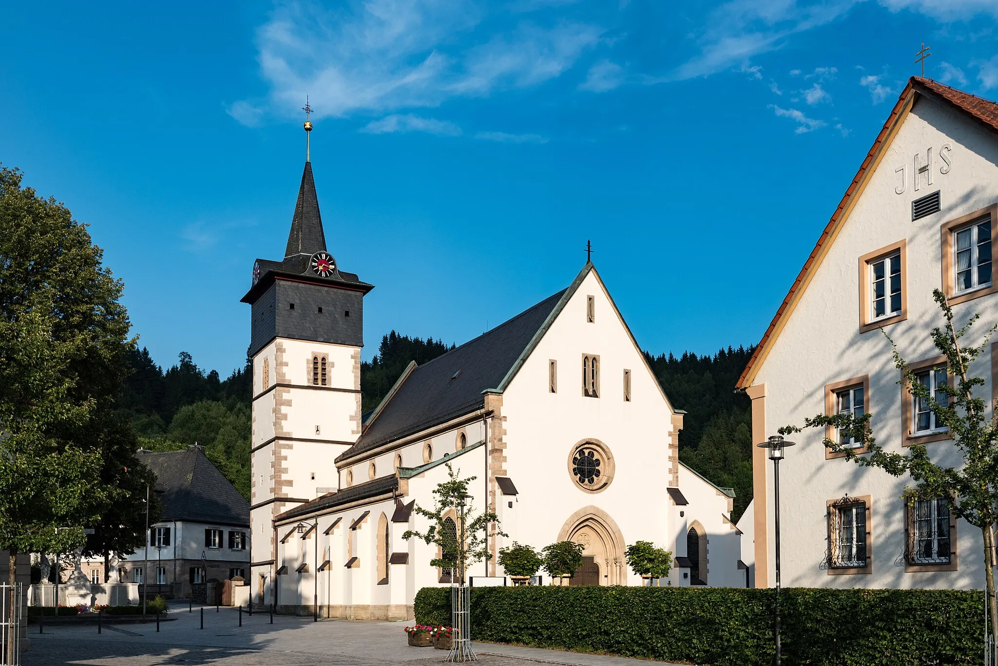
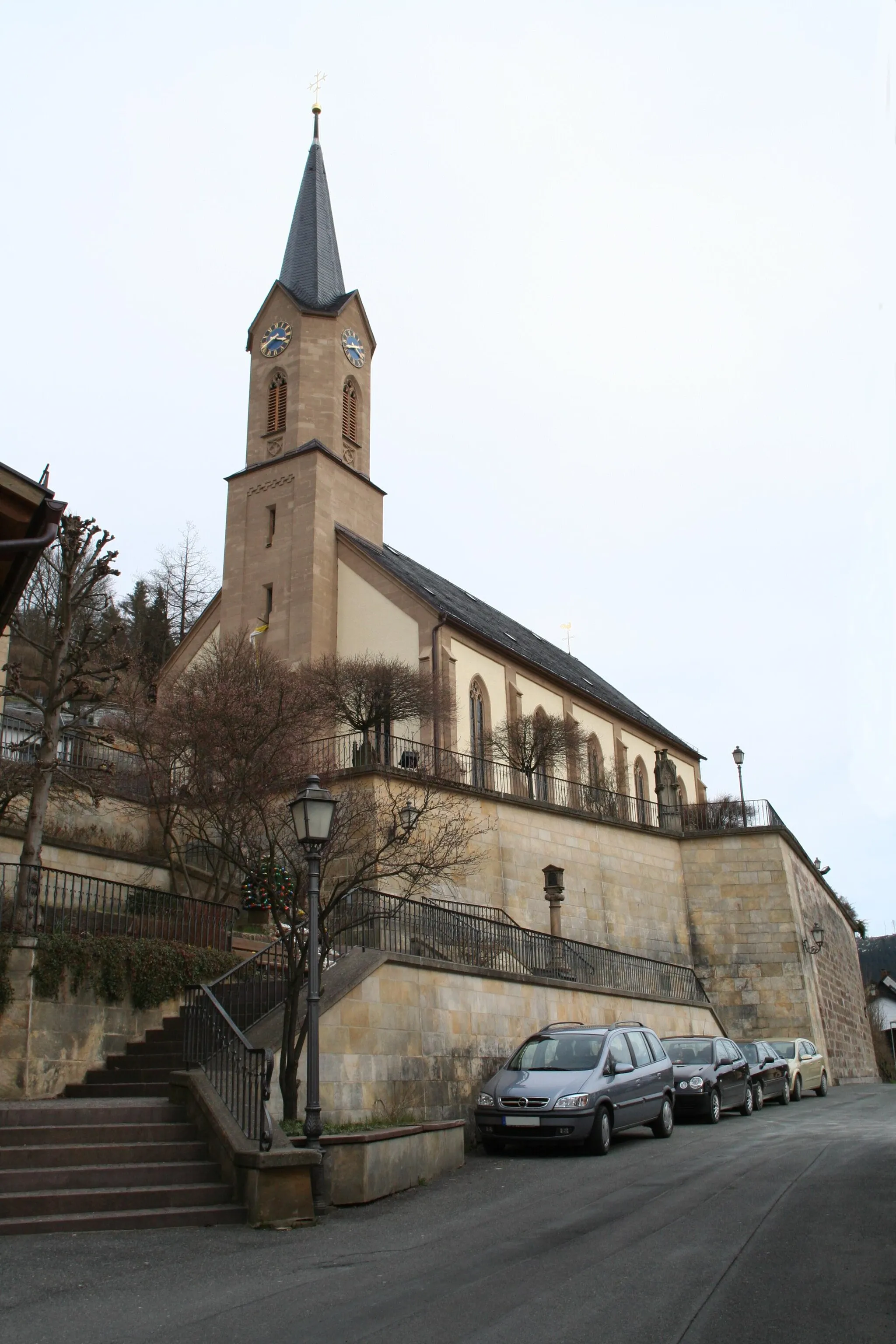
GeroldsgrünVillageTake in the idyllic landscapes of Geroldsgrün, with its rolling hills and traditional architecture.
33 km
33 km
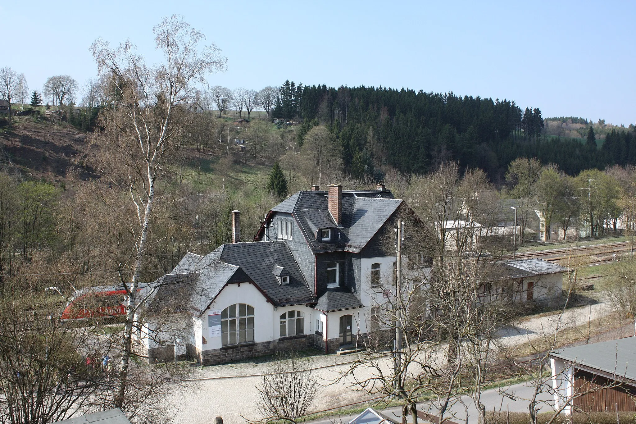
NeumühleHamletMake a stop at Neumühle and discover its historic significance and natural beauty.
35 km
35 km
Regberg609 mPeakReach the summit of Regberg and reward yourself with panoramic views of the surrounding countryside.
36 km
36 km
Finish: Nordhalben City centerNordhalben: Nordhalben - Legendary Climbs in Oberfranken
Cycling routes from Nordhalben:
Cycling routes nearby: