Nordhalben Road Cycling Loop
A road cycling route starting from Nordhalben
An exhilarating road cycling loop around Nordhalben
Map

Discover the scenic beauty of Nordhalben and its surrounding areas on this road cycling loop. With a total distance of 59 kilometers and an ascent of 1,221 meters, this ride will challenge you while rewarding you with breathtaking views along the way. The route takes you through various highlights, including the iconic Totenkopf mountain, historic Bergbaustollen, and the picturesque town of Wurzbach.
road
59 km
1221 m
Tough
Route profile
Highlights on the route
0 km
0 km
Start: Nordhalben City centerNordhalben: Nordhalben - Legendary Climbs in Oberfranken
Nordhalben is a small town located in Oberfranken, Germany. Cyclists will find a variety of challenging road cycling routes in this area, thanks to its hilly terrain. Nearby, cyclists can visit the famous Rodachtal cycle path, which offers beautiful views of the surrounding countryside. Nordhalben serves as a fantastic base for cyclists looking to conquer legendary climbs and experience the rich cycling heritage of Oberfranken.0 km
0 km
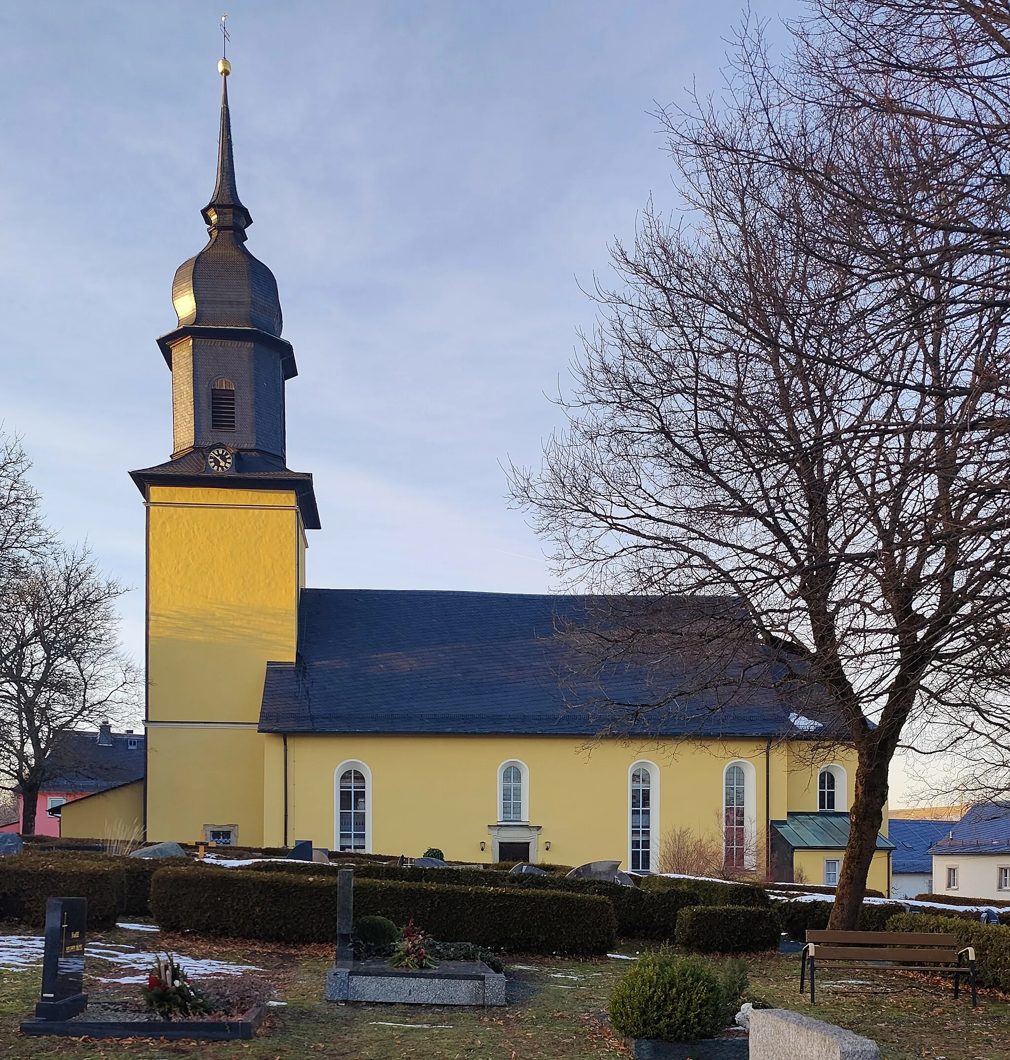
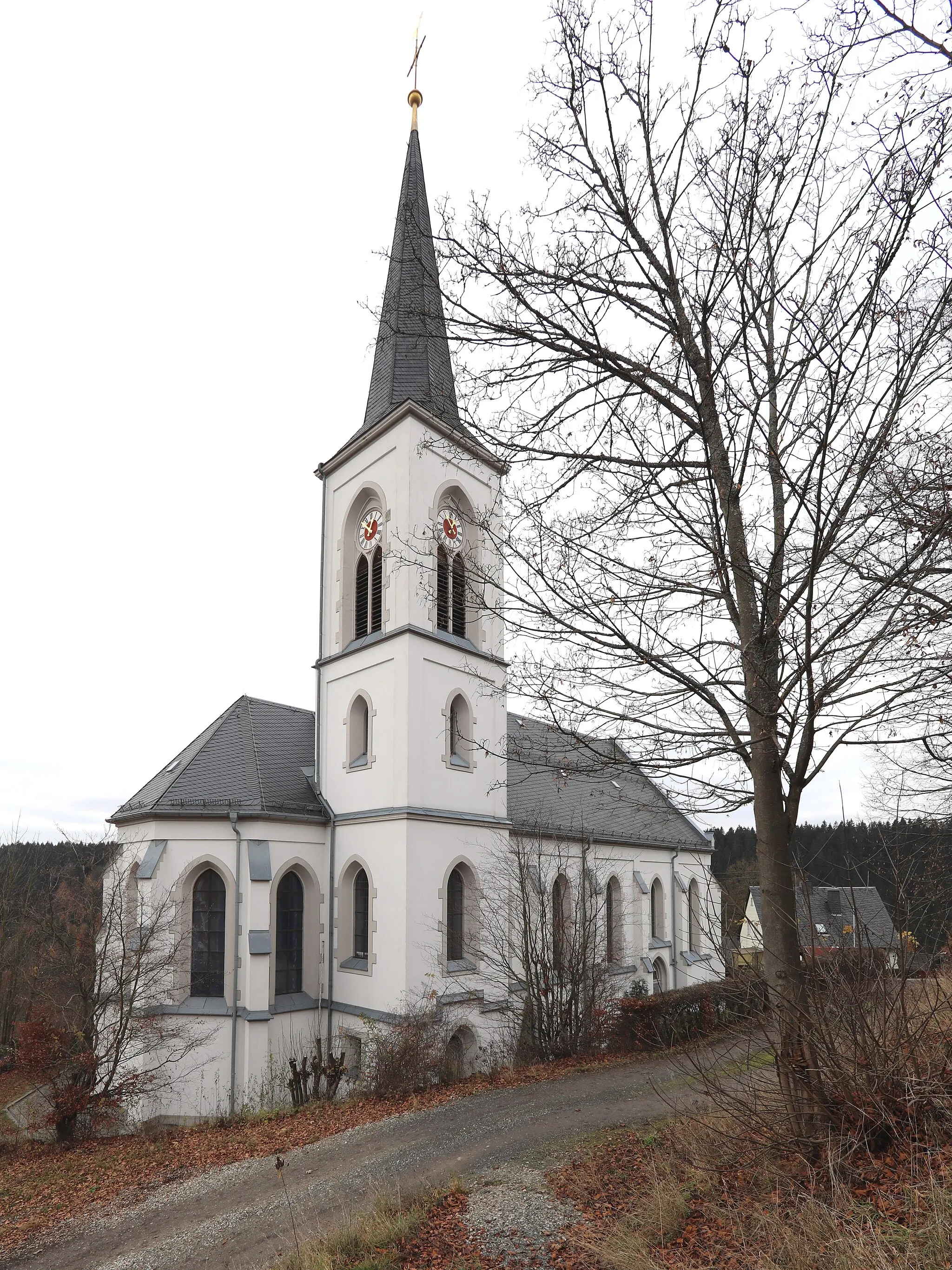
NordhalbenTownStart your journey in Nordhalben, a charming town with a rich history and beautiful architecture.
4 km
4 km
Totenkopf664 mPeakReach the summit of Totenkopf, a renowned mountain known for its panoramic views over the surrounding countryside.
13 km
13 km
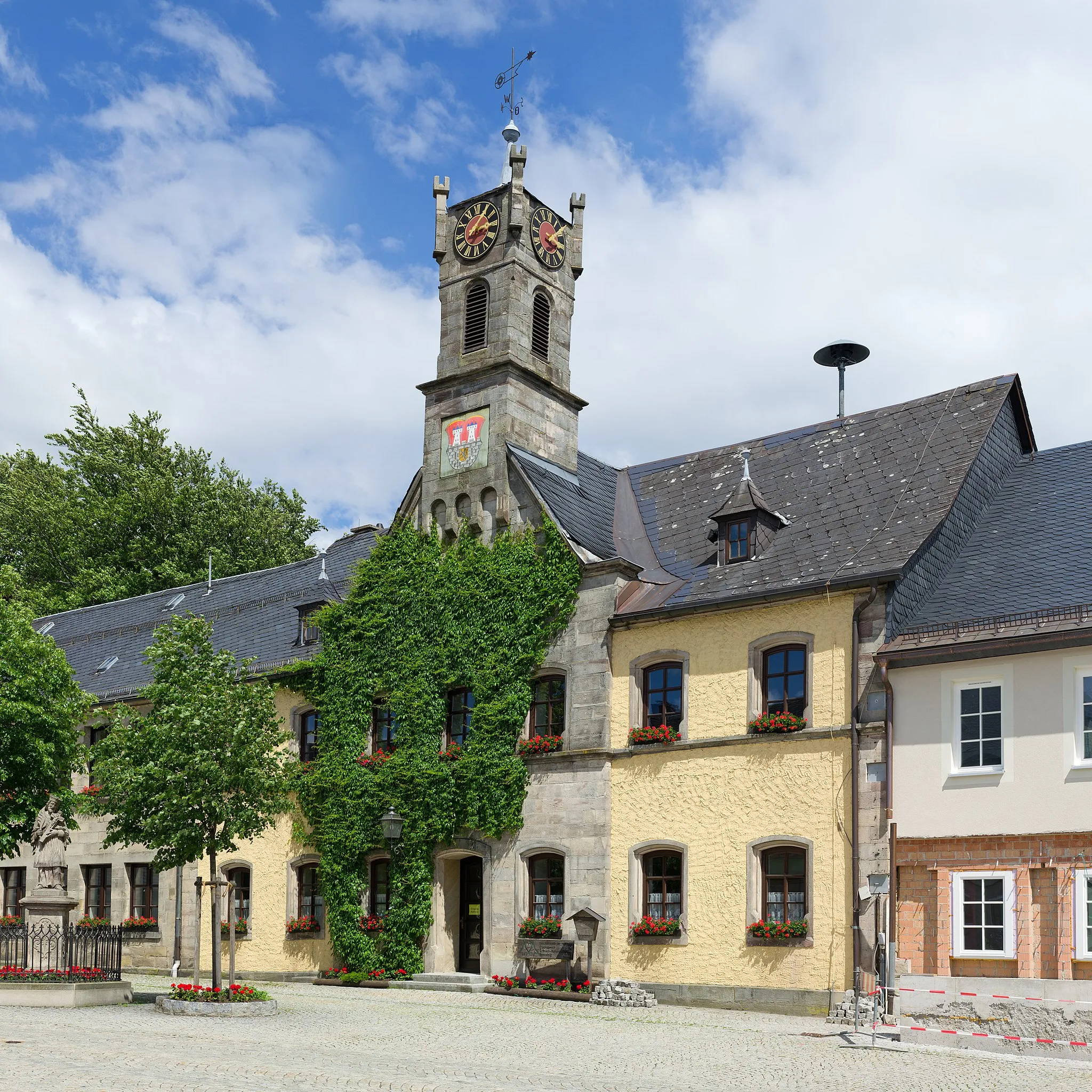
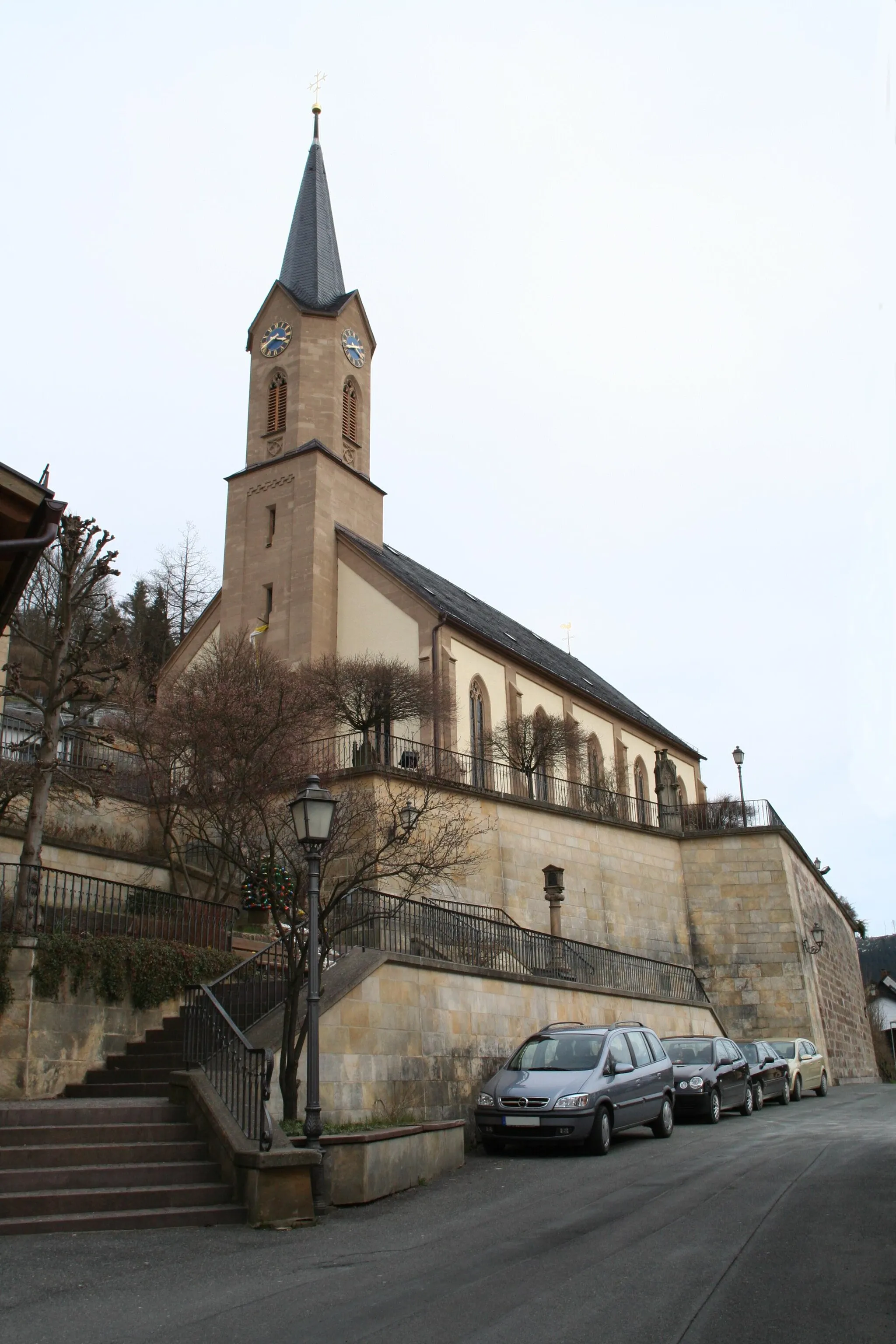
TeuschnitzVillagePass through Teuschnitz, a quaint village with traditional Bavarian houses and friendly locals.
21 km
21 km
BergbaustollenViewpointExplore the historic Bergbaustollen, an old mine that offers guided tours and an insight into the region's mining heritage.
35 km
35 km
Schieferberg644 mPeakAdmire the impressive Schieferberg (slate mountain), which adds a dramatic touch to the landscape.
40 km
40 km
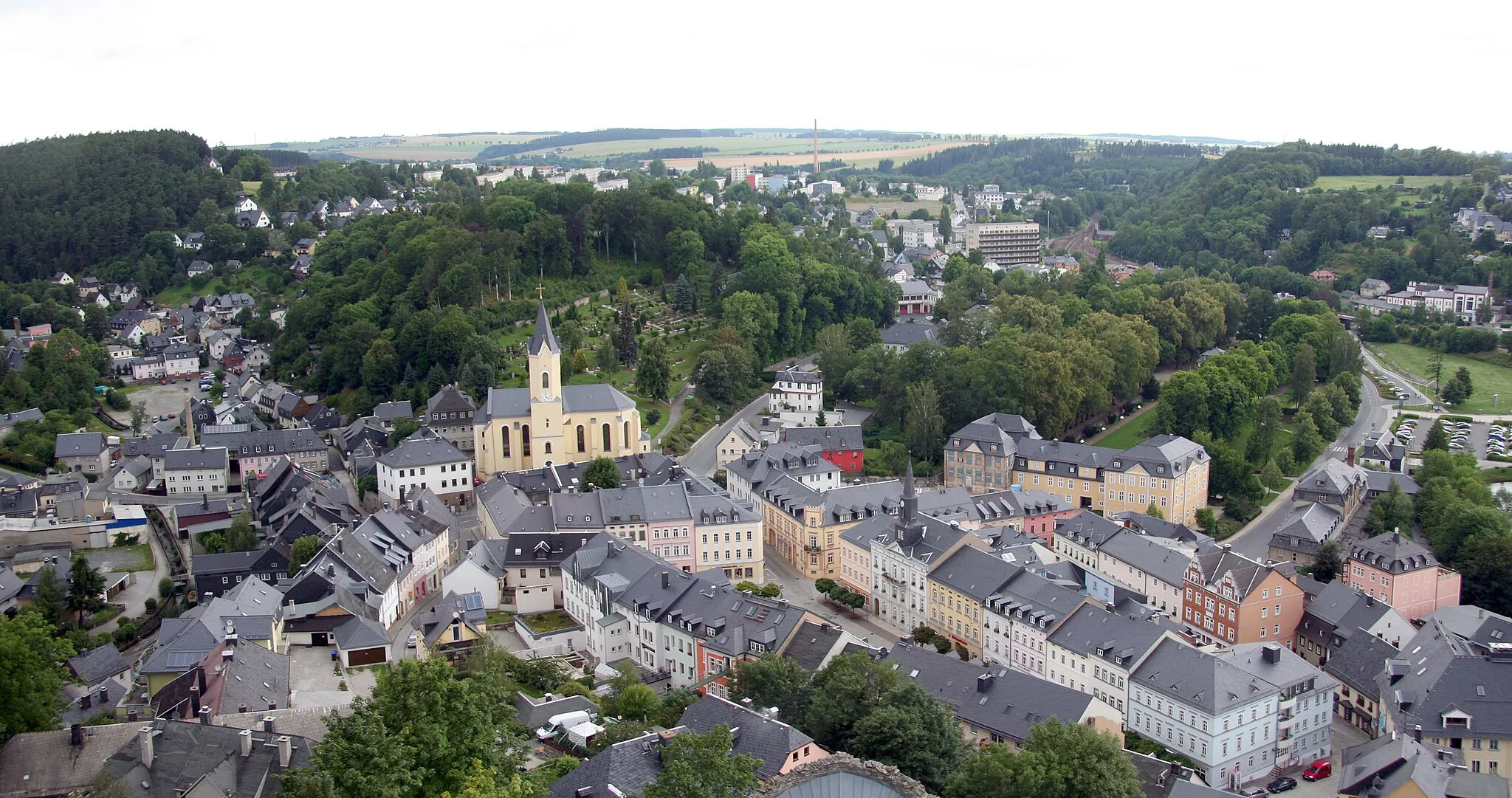
LehestenTownCycle through Lehesten, a charming town famous for its natural stone quarry and traditional craftsmanship.
47 km
47 km
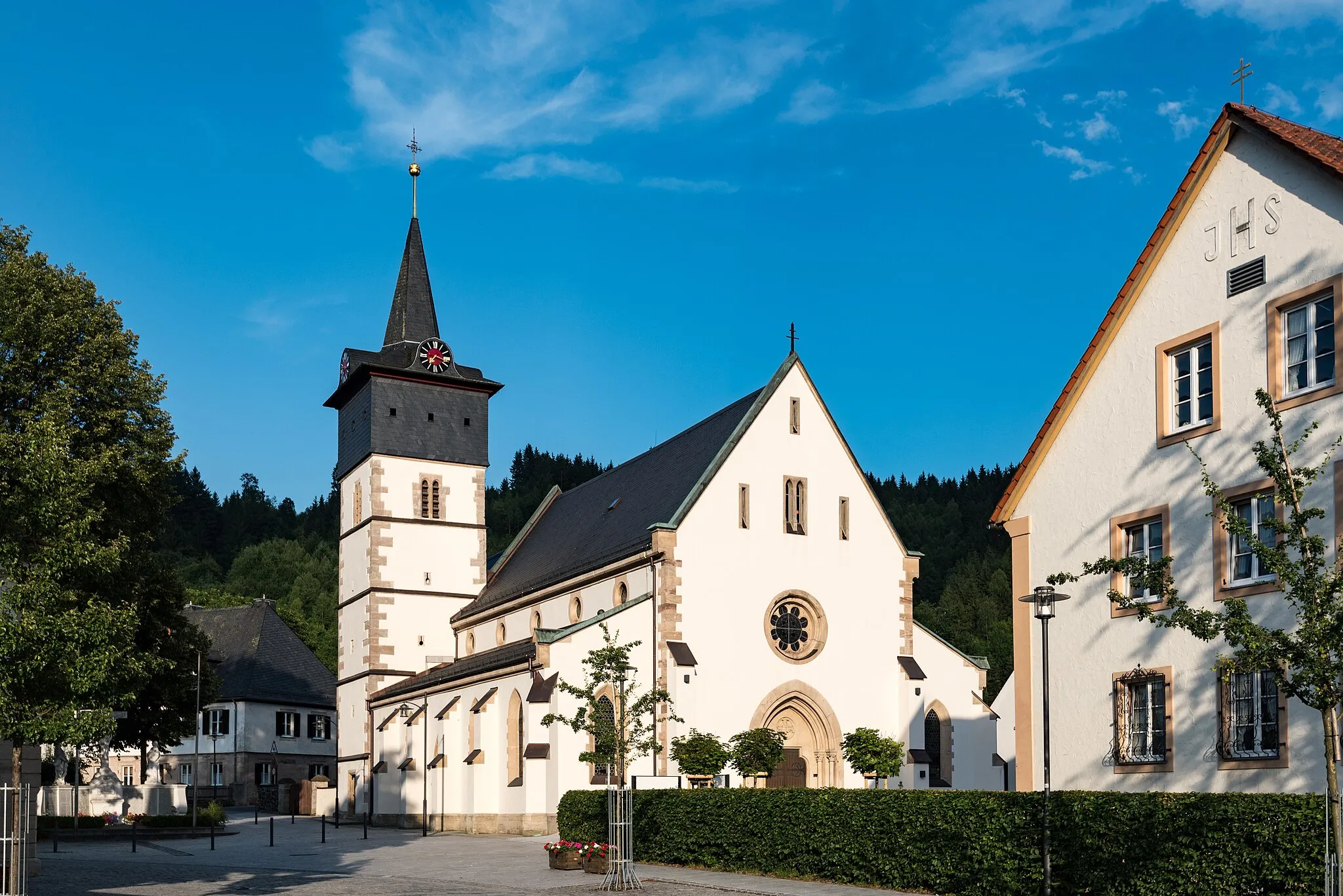
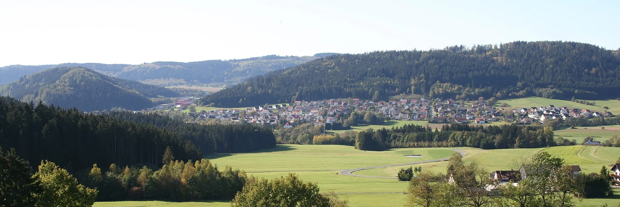
WurzbachTownVisit Wurzbach, a picturesque town nestled amidst rolling hills and forests, offering a tranquil atmosphere and inviting cafes.
54 km
54 km
Mittelberg672 mPeakPass by Mittelberg, a small village surrounded by beautiful meadows and farmlands.
59 km
59 km
Finish: Nordhalben City centerNordhalben: Nordhalben - Legendary Climbs in Oberfranken
Cycling routes from Nordhalben:
Cycling routes nearby: