Nordhalben to Buckenberg Road Route
A road cycling route starting from Nordhalben
Embark on a thrilling road journey from Nordhalben to Buckenberg with scenic landscapes and challenging climbs.
Map
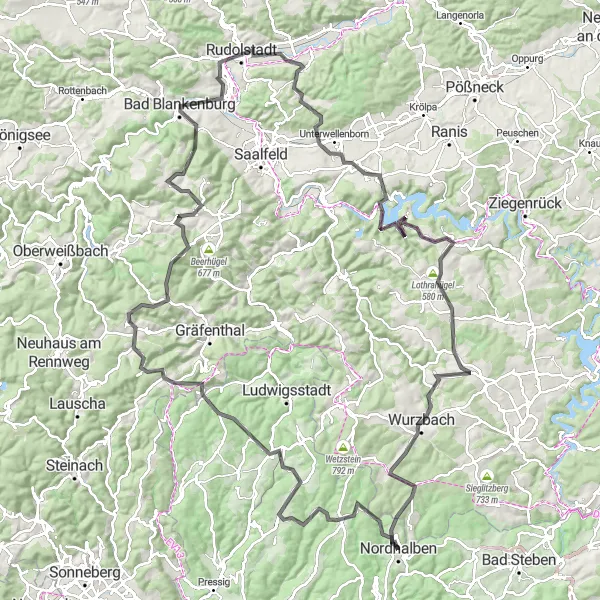
This road route offers a truly thrilling cycling experience as you journey from Nordhalben to Buckenberg. Spanning 141 kilometers with a total ascent of 2612 meters, this route is suitable for experienced cyclists seeking a challenging ride. Explore the magnificent Totenkopf peak, take in the stunning views of Steinbach am Wald, and climb the legendary Rauhhügel along the way. Don't miss the opportunity to visit famous landmarks such as Rudolstadt and Schatzberg, and immerse yourself in the rich cultural heritage of the region. From start to finish, this road route will captivate you with its unparalleled beauty and demanding terrain.
road
141 km
2612 m
Savage
Route profile
Highlights on the route
0 km
0 km
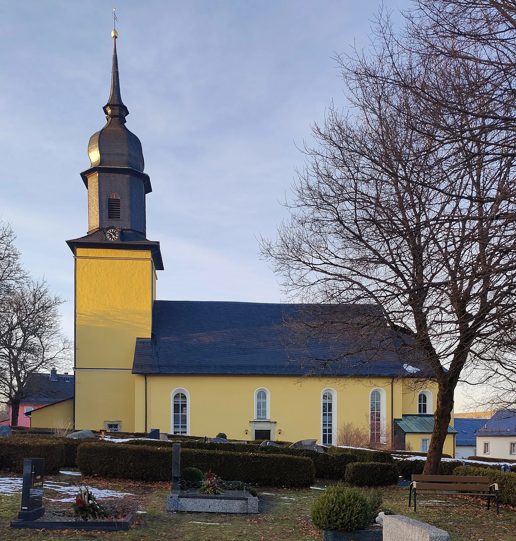
Start: Nordhalben City centerNordhalben: Nordhalben - Legendary Climbs in Oberfranken
Nordhalben is a small town located in Oberfranken, Germany. Cyclists will find a variety of challenging road cycling routes in this area, thanks to its hilly terrain. Nearby, cyclists can visit the famous Rodachtal cycle path, which offers beautiful views of the surrounding countryside. Nordhalben serves as a fantastic base for cyclists looking to conquer legendary climbs and experience the rich cycling heritage of Oberfranken.0 km
0 km
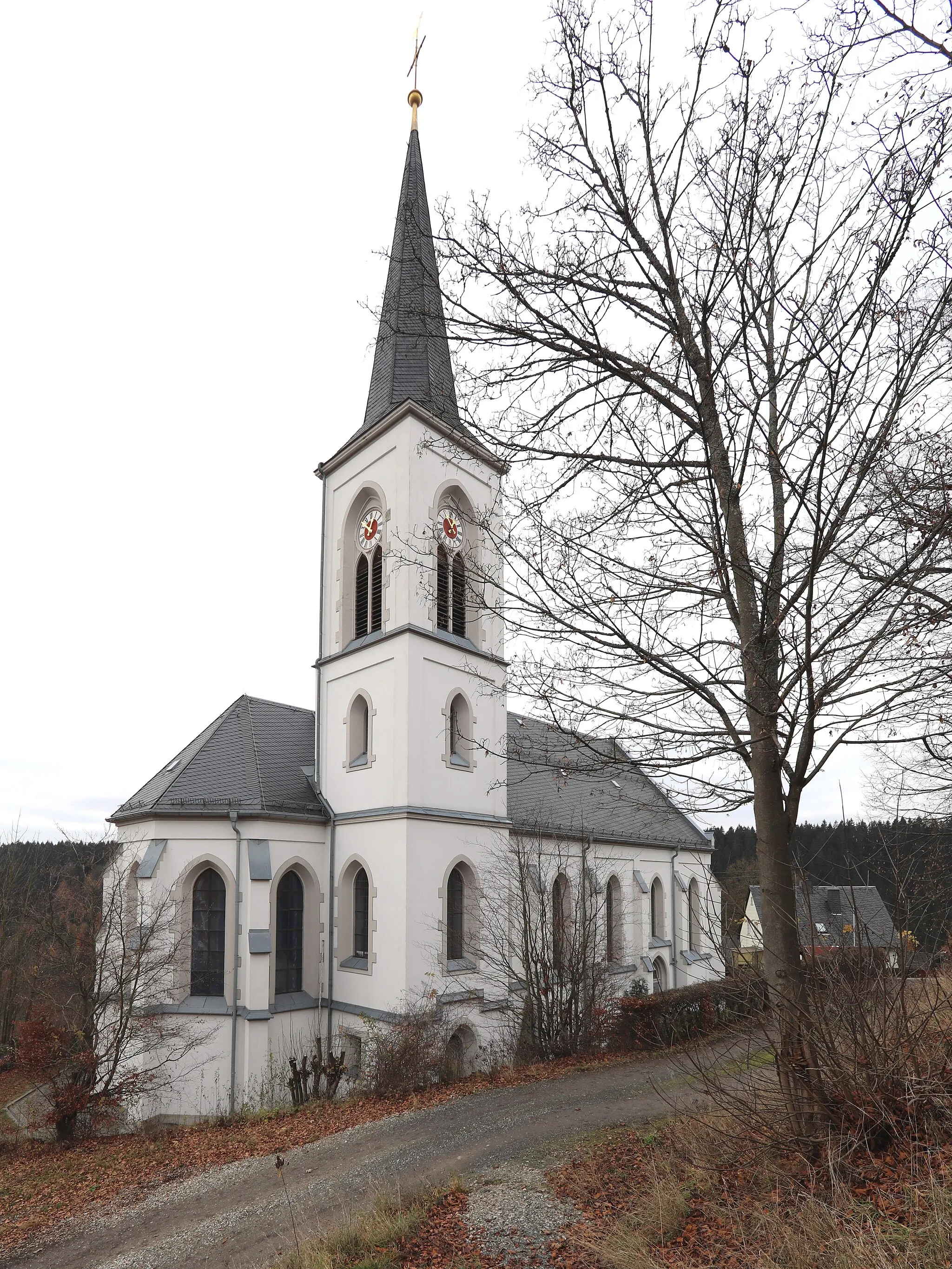
NordhalbenTownBegin your journey in Nordhalben, a picturesque village surrounded by stunning landscapes.
4 km
4 km
Totenkopf664 mPeakConquer the challenging climb of Totenkopf and enjoy panoramic views at the summit.
21 km
21 km
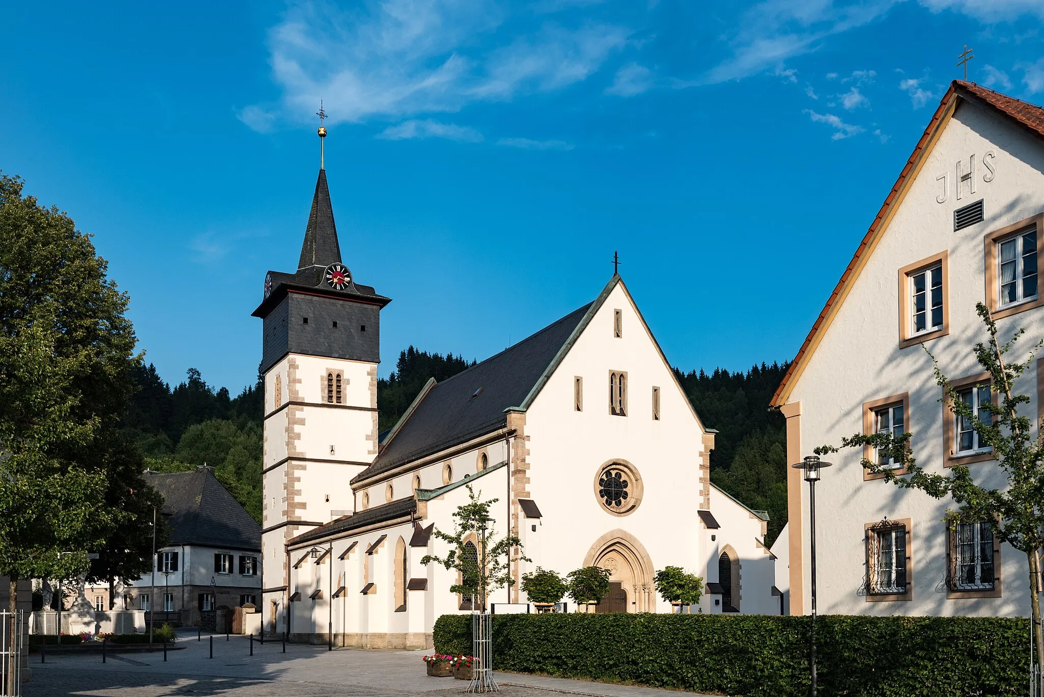
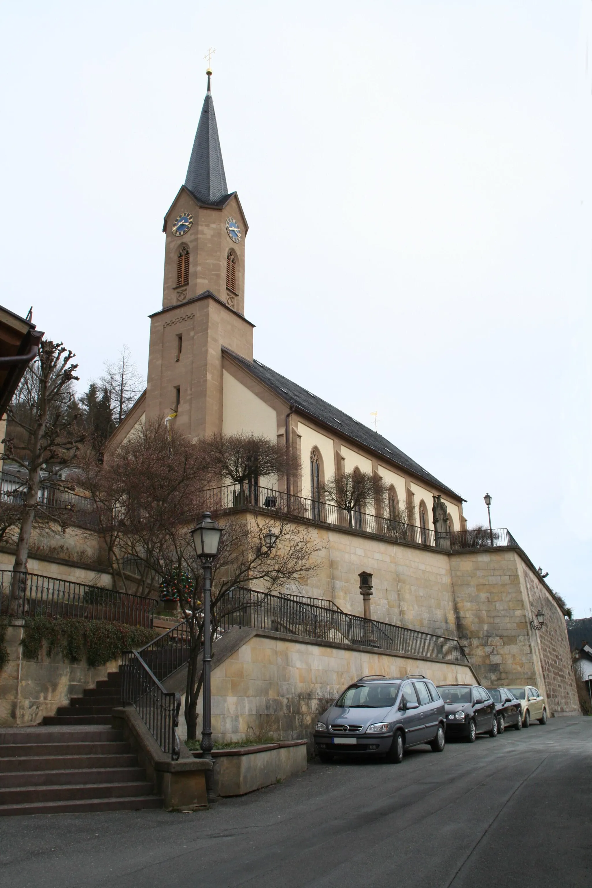
Steinbach am WaldVillageTake a break in the charming town of Steinbach am Wald, known for its natural beauty and historical sites.
28 km
28 km
Suhle748 mPeakCycle through the peaceful countryside of Suhle and be mesmerized by its tranquility.
37 km
37 km
PiesauVillageVisit the enchanting town of Piesau, known for its historic buildings and picturesque surroundings.
40 km
40 km
Rauhhügel802 mPeakChallenge yourself with the ascent of Rauhhügel, a legendary climb that will test your endurance.
61 km
61 km
Mittelberg504 mPeakEnjoy the panoramic views of the surrounding mountains at the summit of Mittelberg.
65 km
65 km
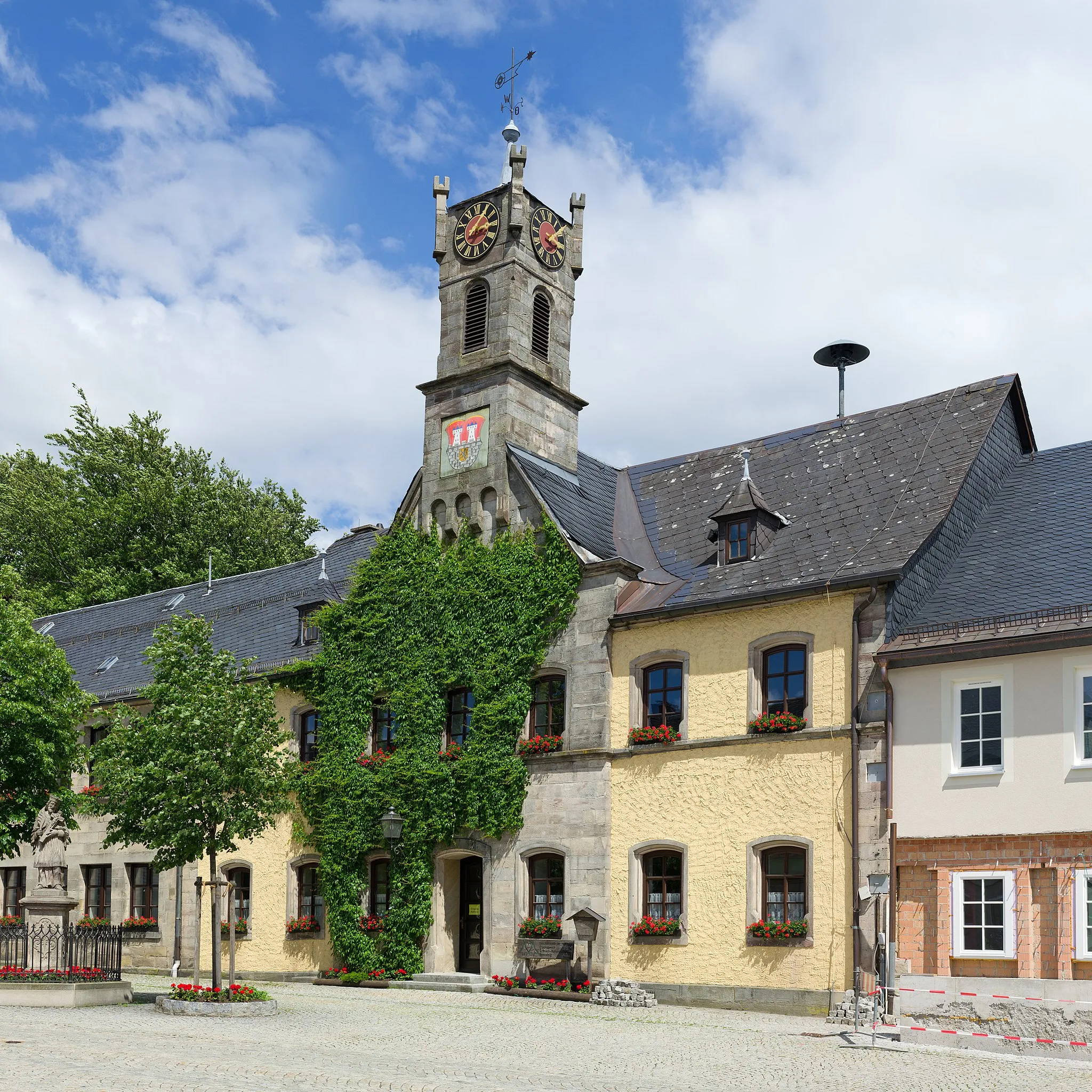
Bad BlankenburgTownExplore the charming town of Bad Blankenburg, known for its historical landmarks and natural beauty.
74 km
74 km
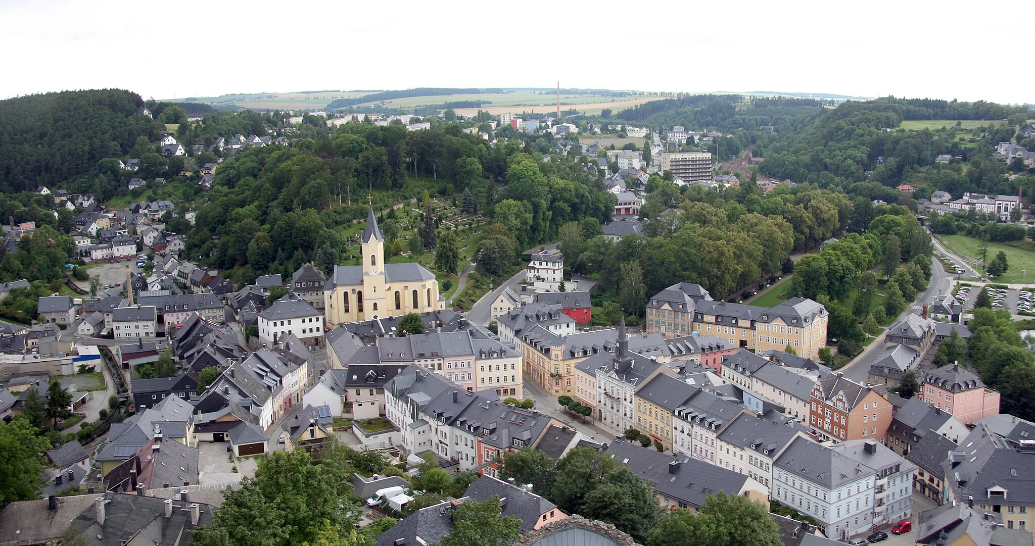
RudolstadtTownImmerse yourself in the rich history of Rudolstadt, home to impressive castles and gardens.
81 km
81 km
Schatzberg387 mPeakExperience the thrill of cycling through the picturesque landscapes of Schatzberg.
89 km
89 km
UnterwellenbornVillageExplore the charming town of Unterwellenborn and admire its beautiful architecture.
95 km
95 km
Streitberg466 mPeakAdmire the breathtaking scenery as you cycle through the picturesque village of Streitberg.
107 km
107 km
Steinbrück529 mPeakPass through the picturesque Steinbrück and take in the idyllic landscapes.
109 km
109 km
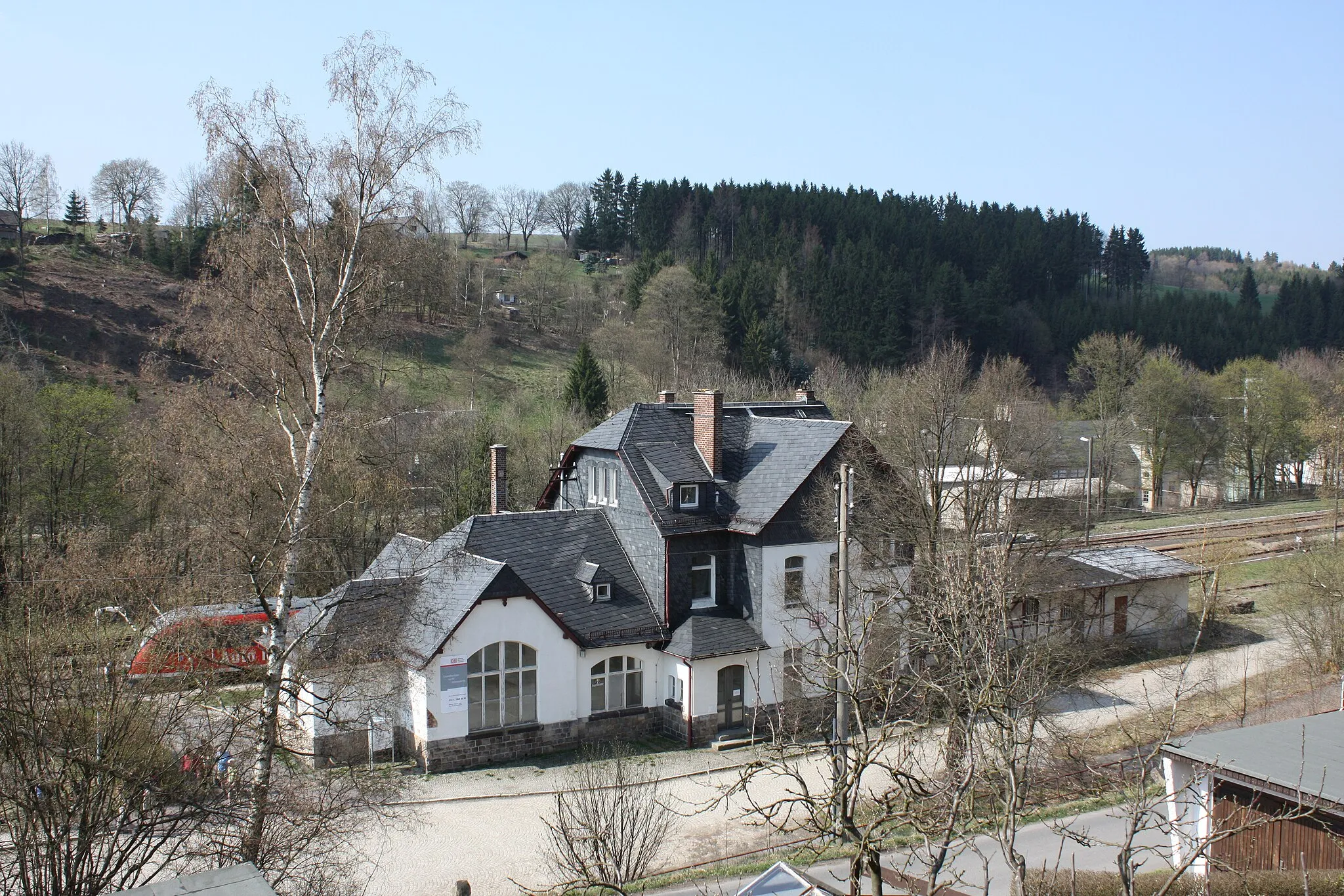
DrognitzVillageDiscover the historic town of Drognitz, known for its charming atmosphere and traditional architecture.
128 km
128 km
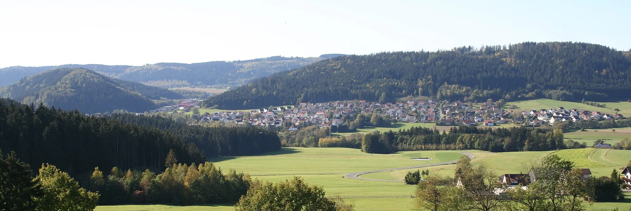
WurzbachTownEnjoy the stunning scenery as you ride through the beautiful landscapes of Wurzbach.
129 km
129 km
Haidekoppe617 mPeakExperience the peaceful surroundings and scenic beauty of Haidekoppe.
140 km
140 km
Buckenberg627 mShelterPrepare to be amazed by the natural beauty of Buckenberg, a truly epic cycling spot.
141 km
141 km
Finish: Nordhalben City centerNordhalben: Nordhalben - Legendary Climbs in Oberfranken
Cycling routes from Nordhalben:
Cycling routes nearby: