Charming Hills and Historic Castles
A road cycling route starting from Obertrubach
Explore the scenic landscapes and ancient castles of Obertrubach and surrounding area
Map
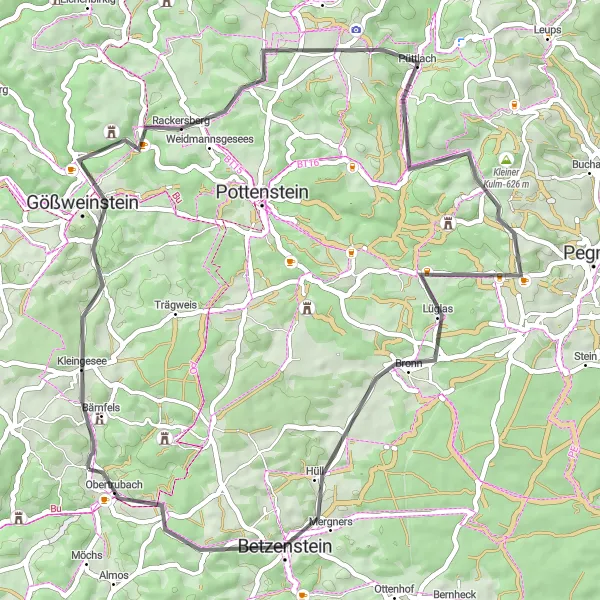
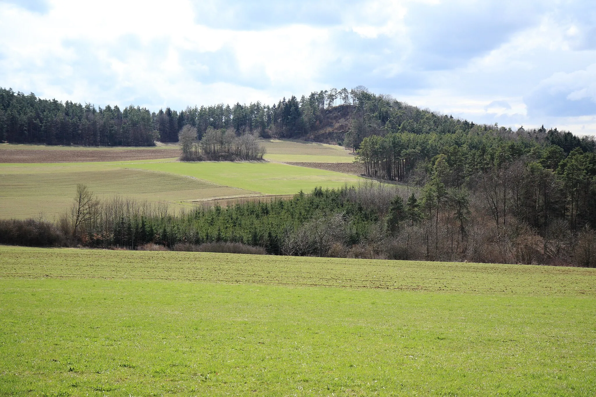
This route takes you through the beautiful hilly landscapes near Obertrubach, offering stunning views and a glimpse into the region's rich history. With a moderate difficulty level, it is suitable for well-trained amateur cyclists. The 52-kilometer stretch includes highlights such as Gößweinstein Castle, known for its picturesque location and medieval architecture, Johannisburg Castle with its impressive towers and fascinating history, and Hohenmirsberger Platte, a limestone plateau offering breathtaking panoramic views. Other attractions along the route include Kosbrunn and Atzenberg, both charming villages with traditional German architecture.
road
52 km
997 m
Tough
Route profile
Highlights on the route
0 km
0 km
Start: Herzogwind Village centerObertrubach: Conquer the challenging climbs and enjoy the scenic landscapes of Obertrubach on a road or gravel bike.
Obertrubach is a charming village located in the Oberfranken region of Germany. It is surrounded by picturesque landscapes and offers great cycling opportunities for both road and gravel cyclists. The area is known for its well-maintained roads and challenging climbs, making it a popular destination for cyclists looking to test their skills. One of the famous cycling spots nearby is the Franconian Switzerland Nature Park, which offers a variety of scenic routes and well-known climbs. With its beautiful scenery and challenging terrain, Obertrubach is a must-visit for cycling enthusiasts.8 km
8 km
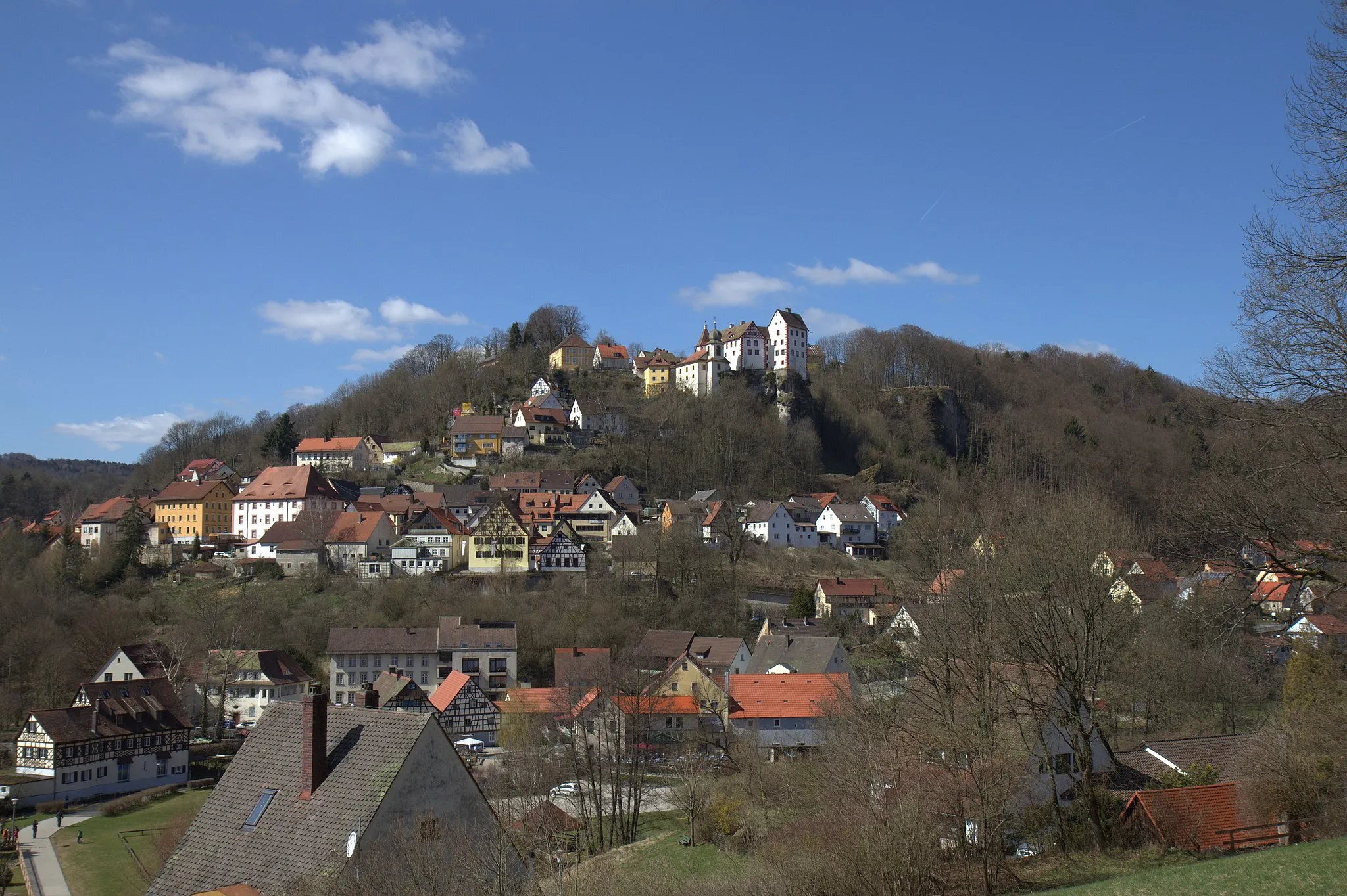
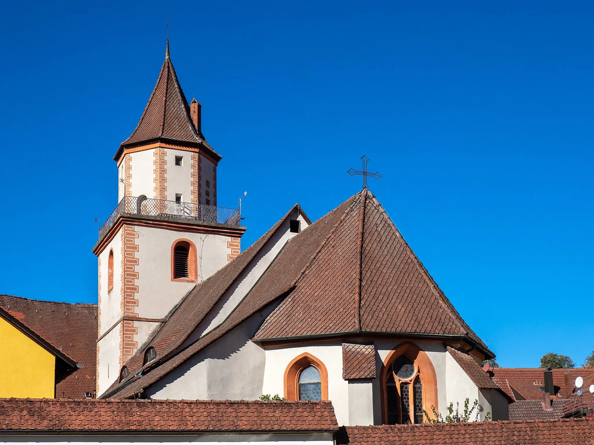
GößweinsteinTownGößweinstein Castle is a highlight of the route, located on a hilltop overlooking the village and offering stunning views of the surrounding countryside
9 km
9 km
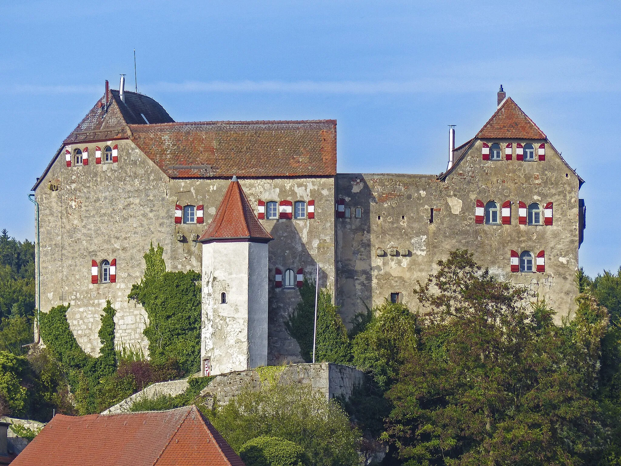
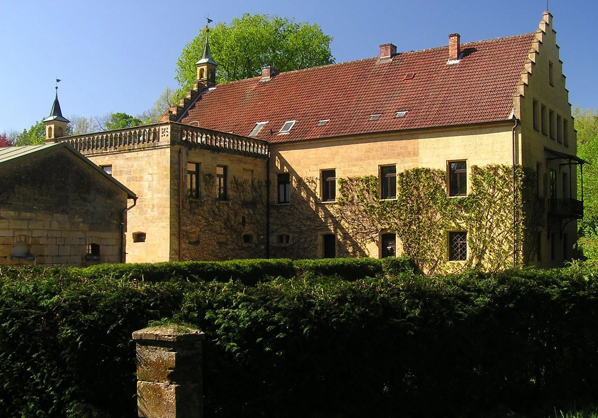
JohannisburgViewpointJohannisburg Castle, a majestic fortress dating back to the 12th century, is a must-visit attraction with its imposing towers and rich history
20 km
20 km
Hohenmirsberger Platte614 mPeakHohenmirsberger Platte is a limestone plateau that offers panoramic views of the entire region and is perfect for a scenic rest stop
27 km
27 km
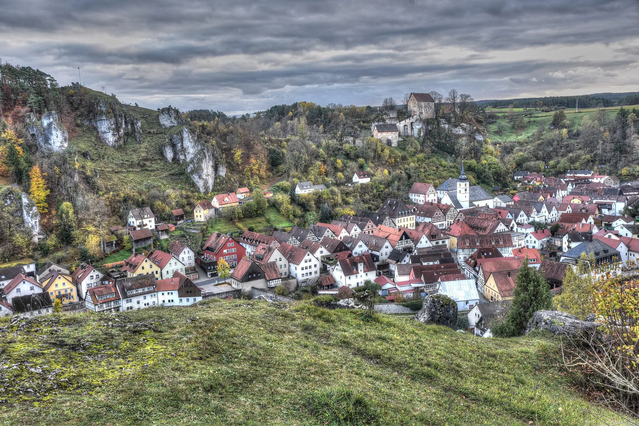
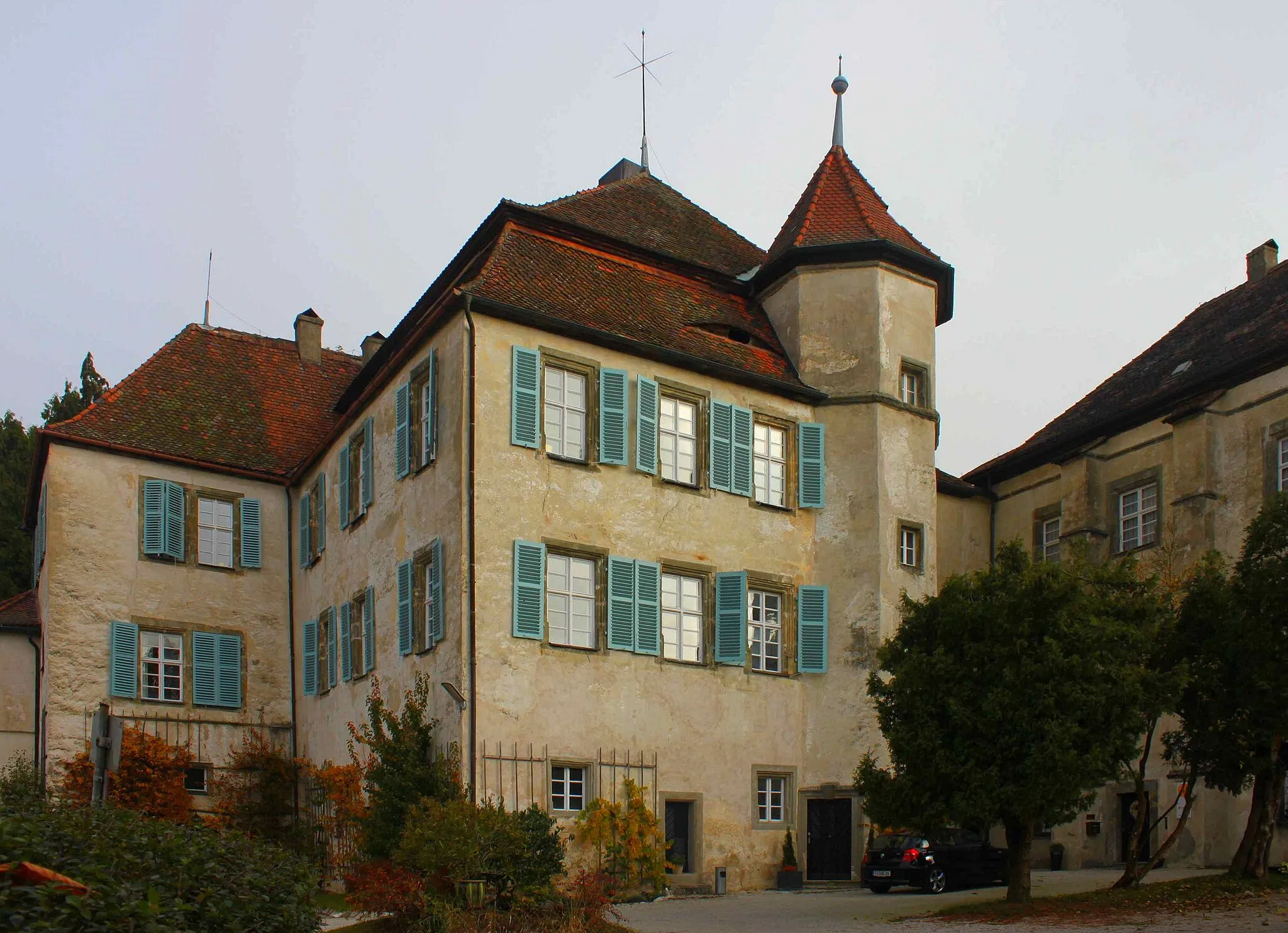
KosbrunnVillageKosbrunn is a charming village along the route, known for its traditional half-timbered houses and beautiful surroundings
34 km
34 km
Atzenberg467 mPeakAtzenberg is a picturesque village with quaint houses and stunning views of the surrounding hills
45 km
45 km
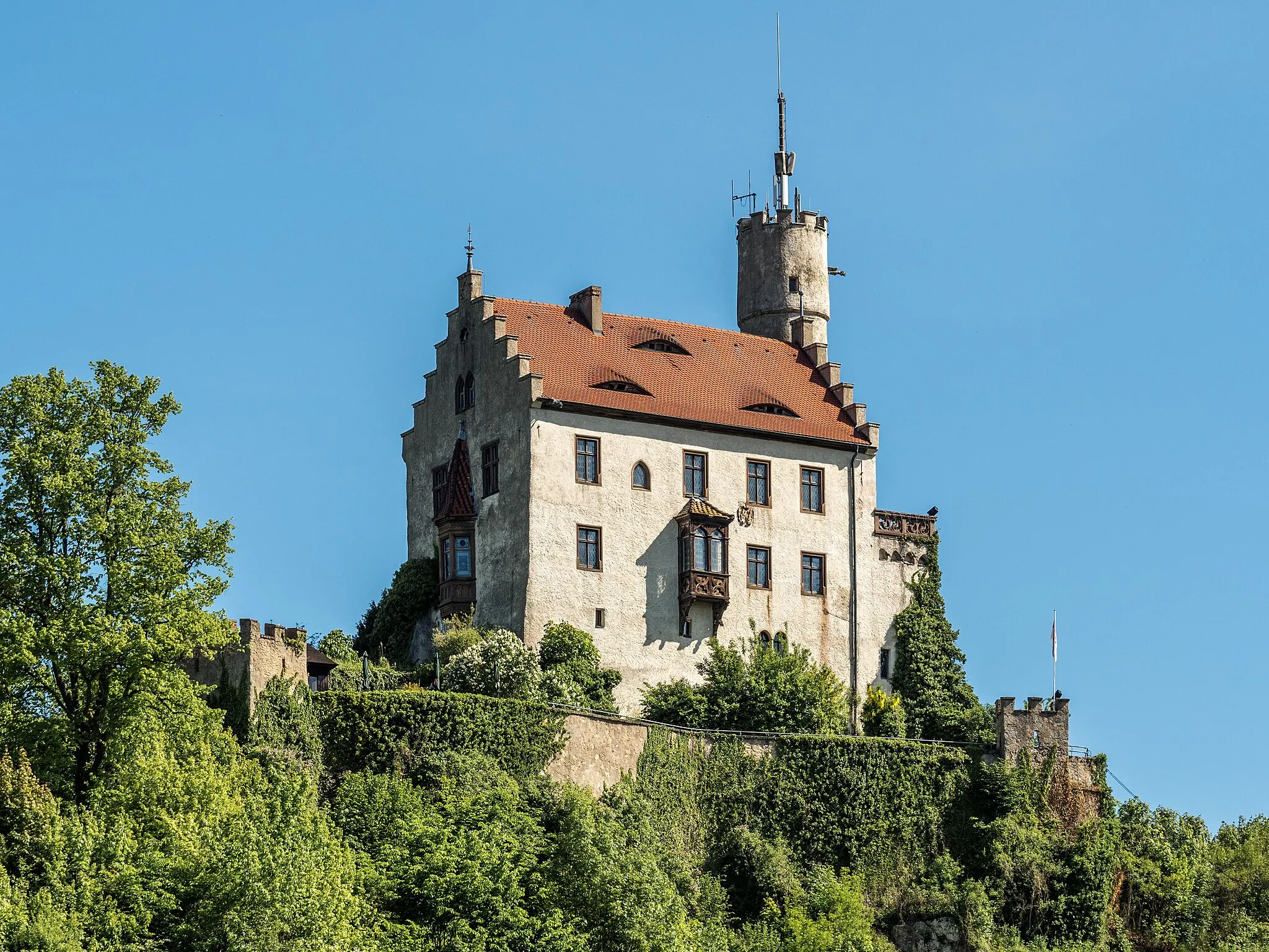
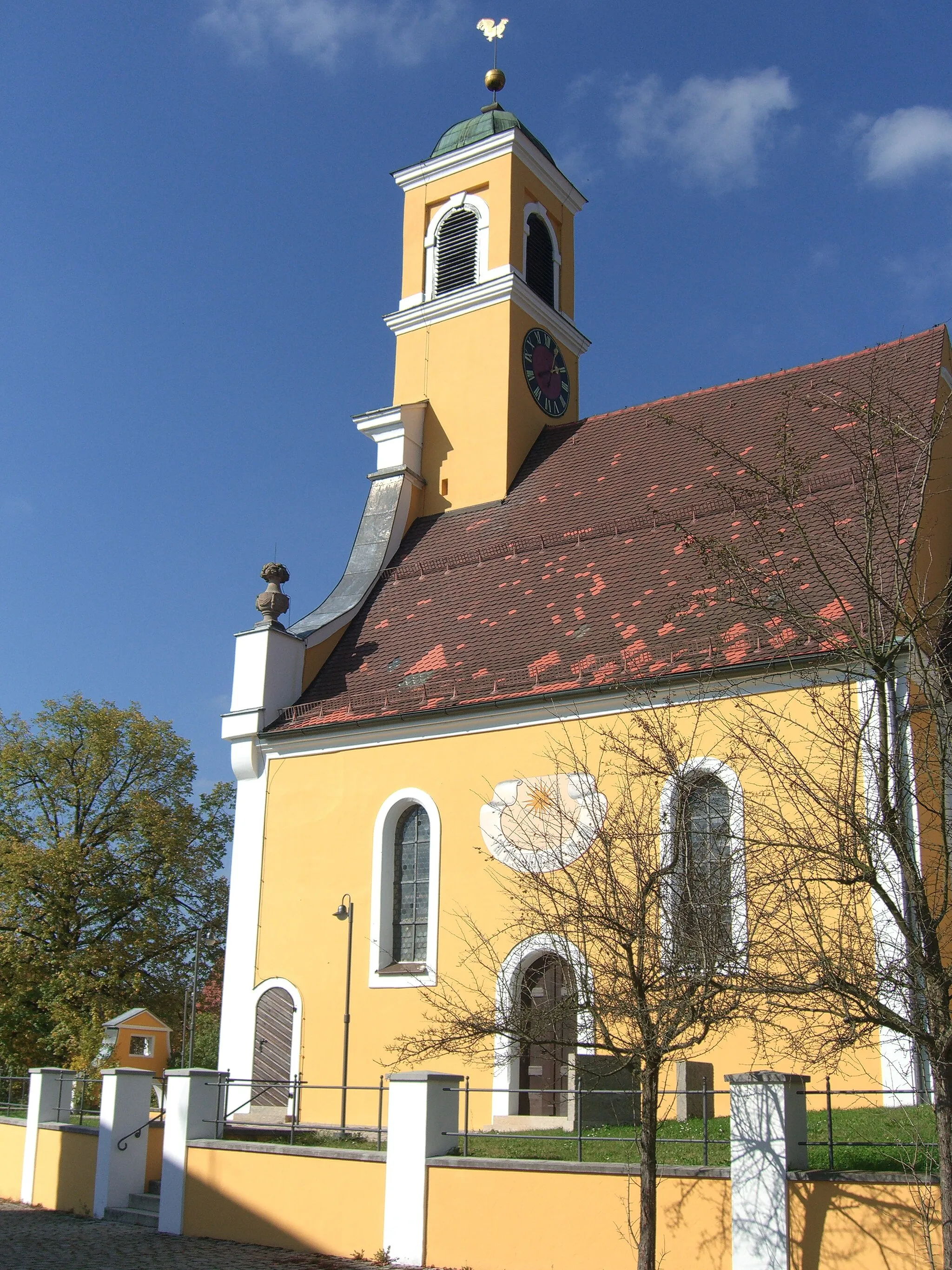
BetzensteinTownBetzenstein is a historic town with an impressive castle ruin and a charming old town, ideal for exploration during a rest stop
51 km
51 km
ObertrubachVillageObertrubach, the starting point of the route, is a charming village with traditional Bavarian architecture and a peaceful atmosphere
51 km
51 km
AltarsteinViewpointAltarstein is a unique rock formation along the route, known for its distinctive shape and geological significance
52 km
52 km
Finish: Herzogwind Village centerObertrubach: Conquer the challenging climbs and enjoy the scenic landscapes of Obertrubach on a road or gravel bike.
Cycling routes from Obertrubach:
Charming Hills and Historic Castles The Majestic Hills Adventure Scenic Landscapes and Serene Villages Gravel Adventure through Nature The Franconian Heights Obertrubach - Reitersberg Loop Obertrubach - Hormersdorf Loop Obertrubach - Bärnfels Loop Obertrubach - Zehnerstein Loop The Epic Auerberg Challenge Off the Beaten Path Gravel Adventure Scenic Road Tour through Obertrubach
Cycling routes nearby: