The Epic Auerberg Challenge
A road cycling route starting from Obertrubach
Conquer the legendary Auerberg climb on this challenging road cycling route.
Map
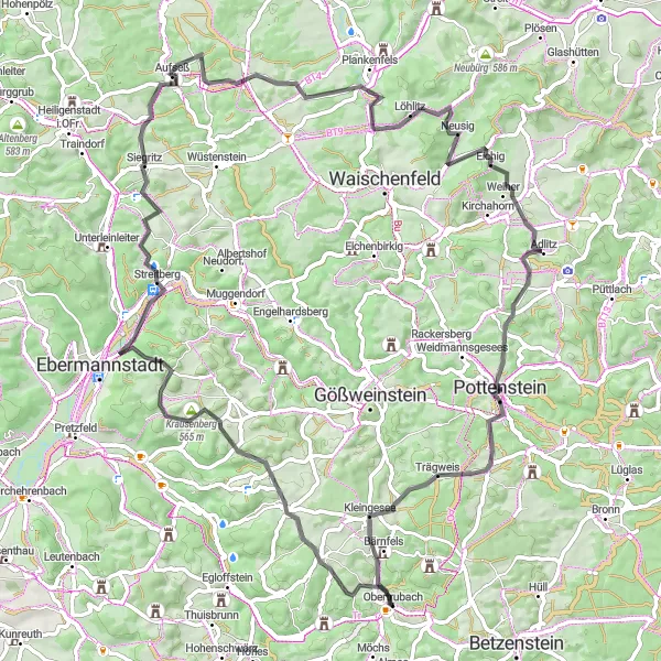
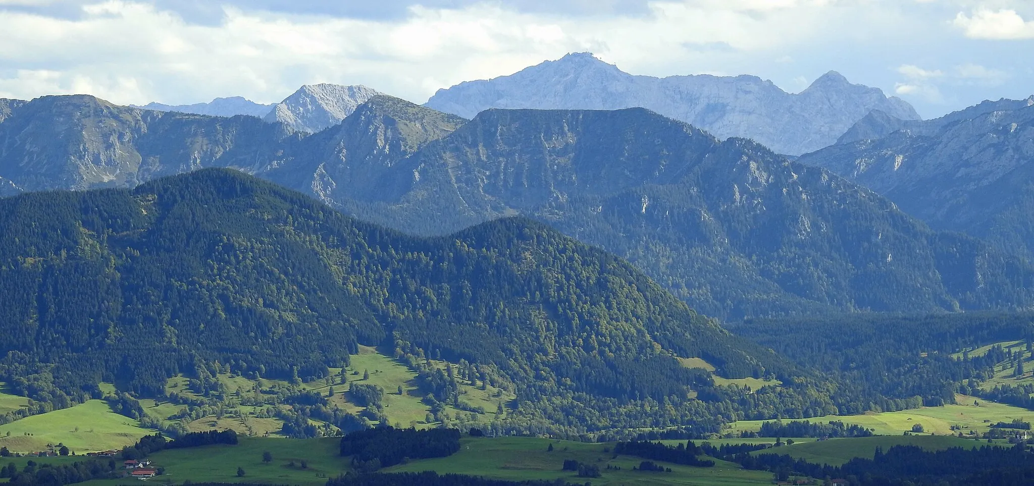
Embark on an epic road cycling adventure through Obertrubach and take on the legendary Auerberg climb. This route, covering a distance of 80 km with 1455 m of ascent, is perfect for experienced cyclists looking for a thrilling challenge. Along the way, you'll encounter stunning countryside views, picturesque villages, and historic landmarks.
road
80 km
1455 m
Tough
Route profile
Highlights on the route
0 km
0 km
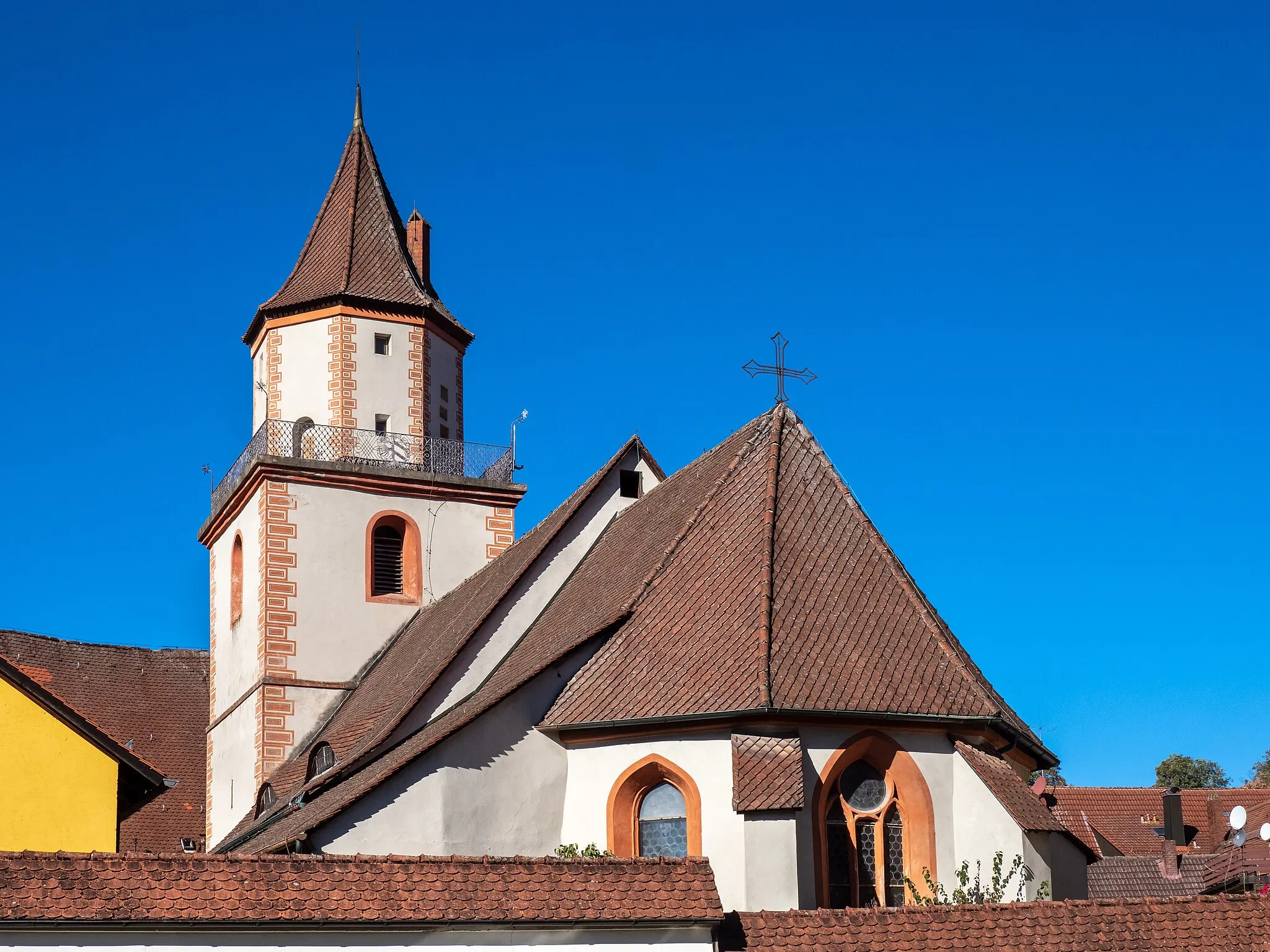
Start: Obertrubach Village centerObertrubach: Conquer the challenging climbs and enjoy the scenic landscapes of Obertrubach on a road or gravel bike.
Obertrubach is a charming village located in the Oberfranken region of Germany. It is surrounded by picturesque landscapes and offers great cycling opportunities for both road and gravel cyclists. The area is known for its well-maintained roads and challenging climbs, making it a popular destination for cyclists looking to test their skills. One of the famous cycling spots nearby is the Franconian Switzerland Nature Park, which offers a variety of scenic routes and well-known climbs. With its beautiful scenery and challenging terrain, Obertrubach is a must-visit for cycling enthusiasts.5 km
5 km
Auerberg573 mPeakStop at Auerberg, one of the most famous climbs in the country. Challenge yourself to conquer its steep slopes and enjoy breathtaking panoramic views from the summit.
8 km
8 km
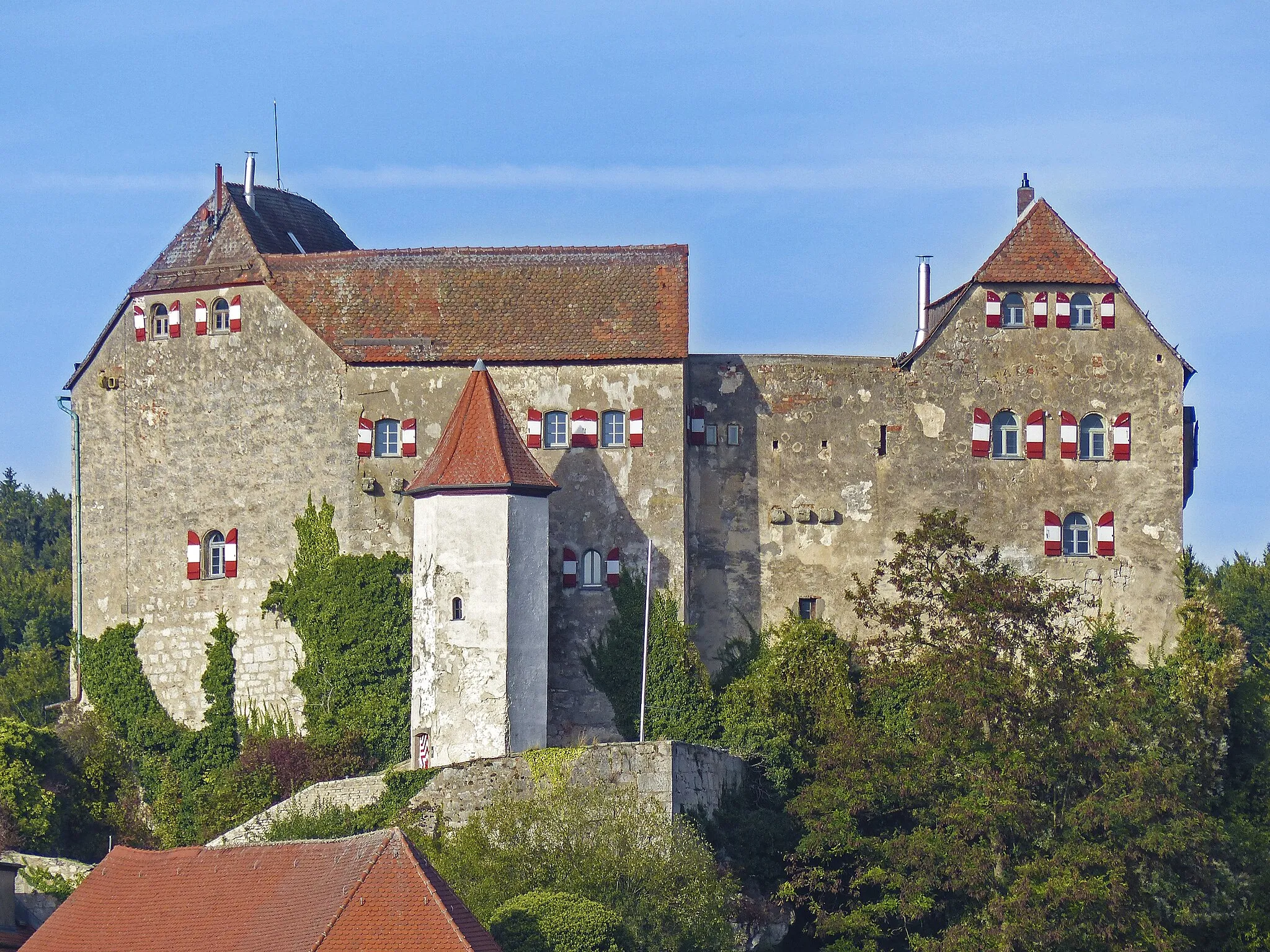
WichsensteinVillageWichsenstein is a must-visit highlight on this route. Explore the ruins of this ancient castle and soak in the rich history and stunning natural surroundings.
19 km
19 km
WallerwarteViewpointMake a stop at Wallerwarte, a scenic lookout tower that offers stunning panoramic views of the surrounding landscape.
33 km
33 km
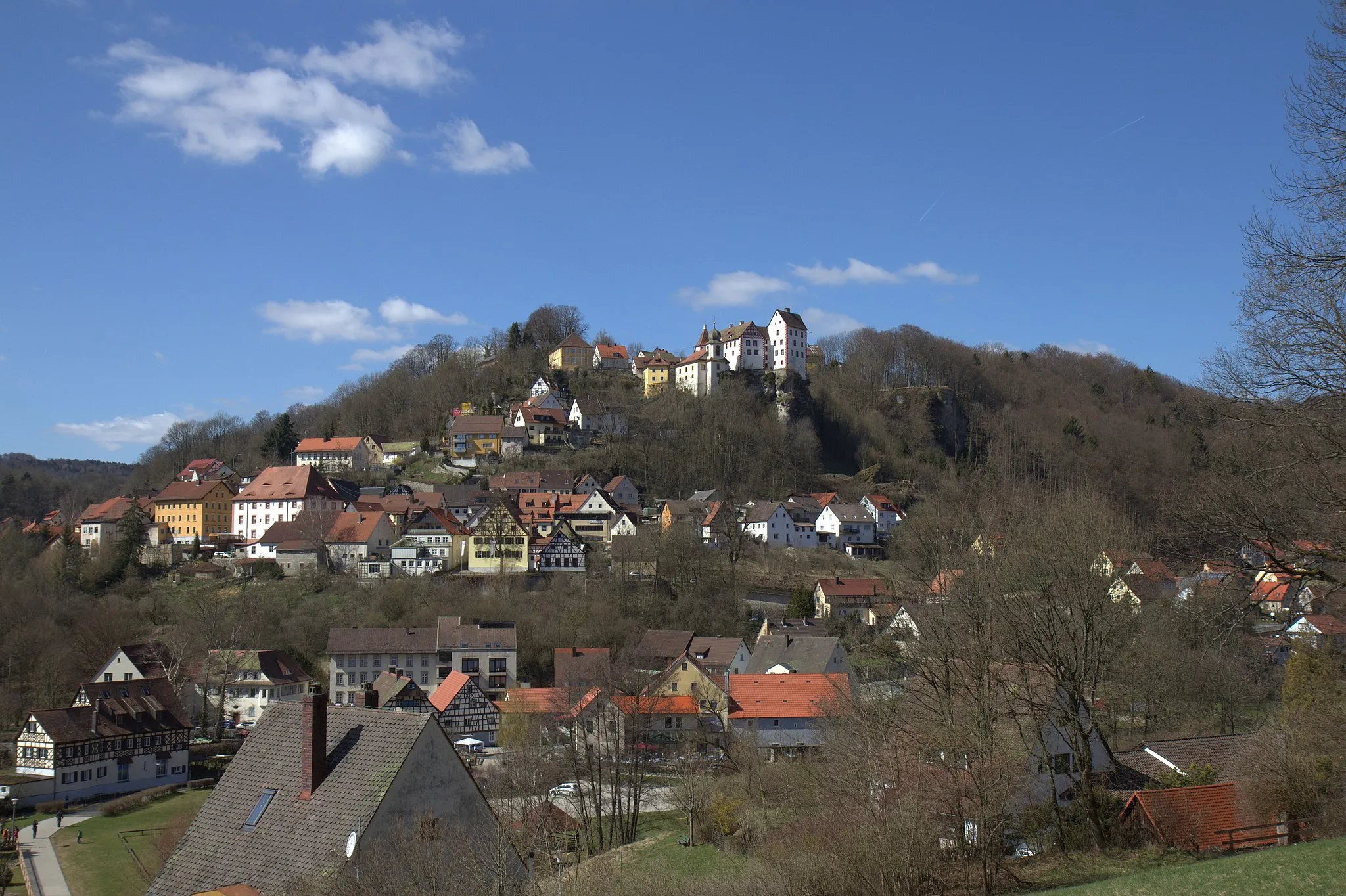
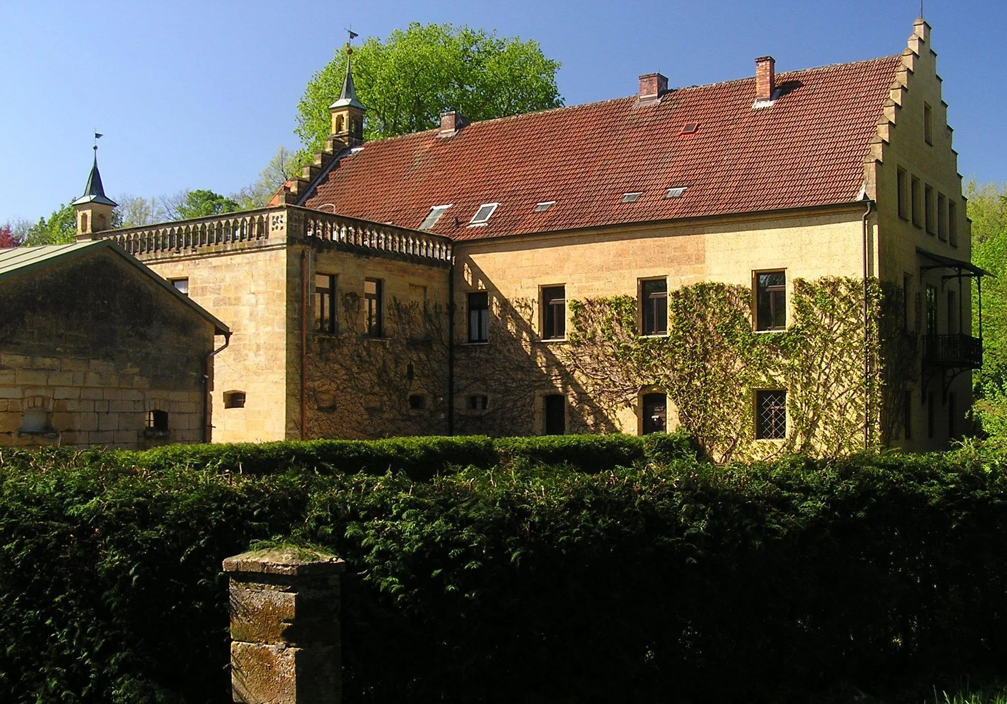
AufseßVillageAufseß is known for its beautiful medieval castle. Take a moment to admire the architecture and immerse yourself in the unique atmosphere of this historic site.
43 km
43 km
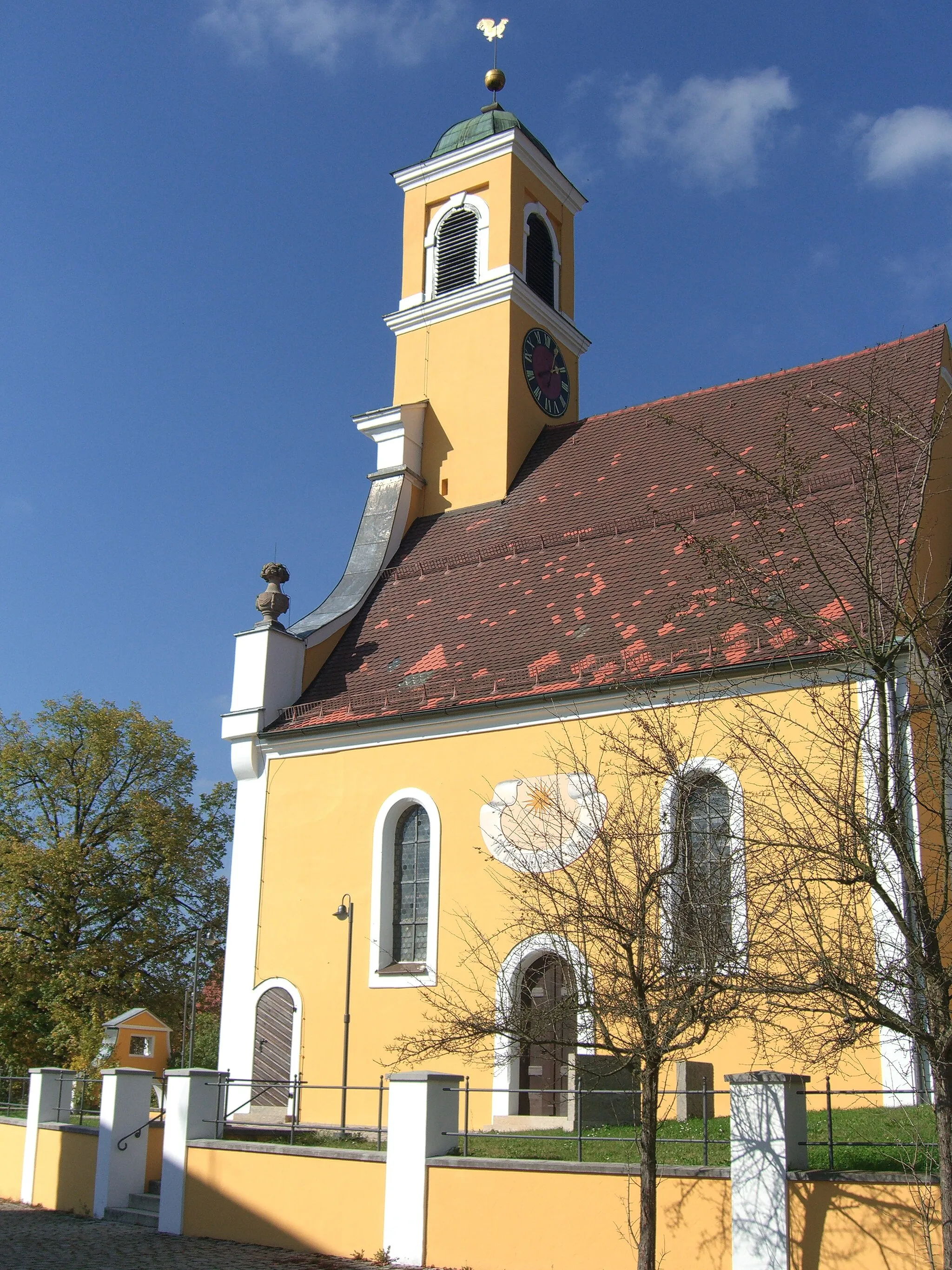
PlankenfelsVillagePlankenfels is a small village with a charming atmosphere. Spend some time wandering through its narrow streets and discover its hidden gems.
46 km
46 km
Auberg423 mPeakAuberg is a quaint hilltop village with breathtaking views. Take a break, relax, and enjoy the peaceful ambiance of this hidden gem.
66 km
66 km
SängerhäuschenViewpointSängerhäuschen is a cozy retreat nestled in nature. Stop by, enjoy a cup of coffee, and soak in the tranquility of this idyllic spot.
66 km
66 km
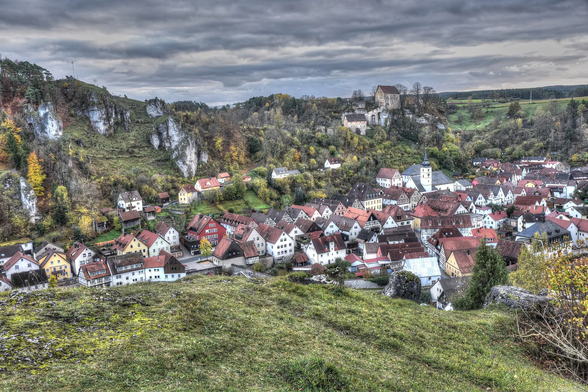
PottensteinTownPottenstein is a charming town famous for its impressive rock formations. Discover the natural beauty of the area and learn about its fascinating geology.
75 km
75 km
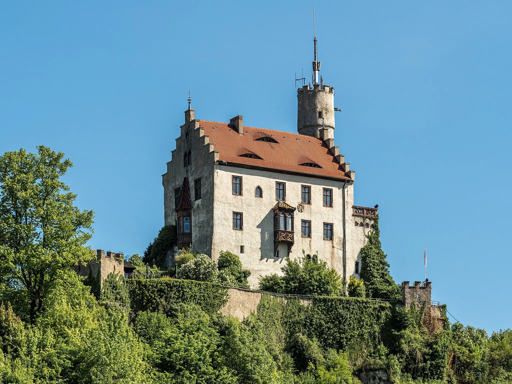
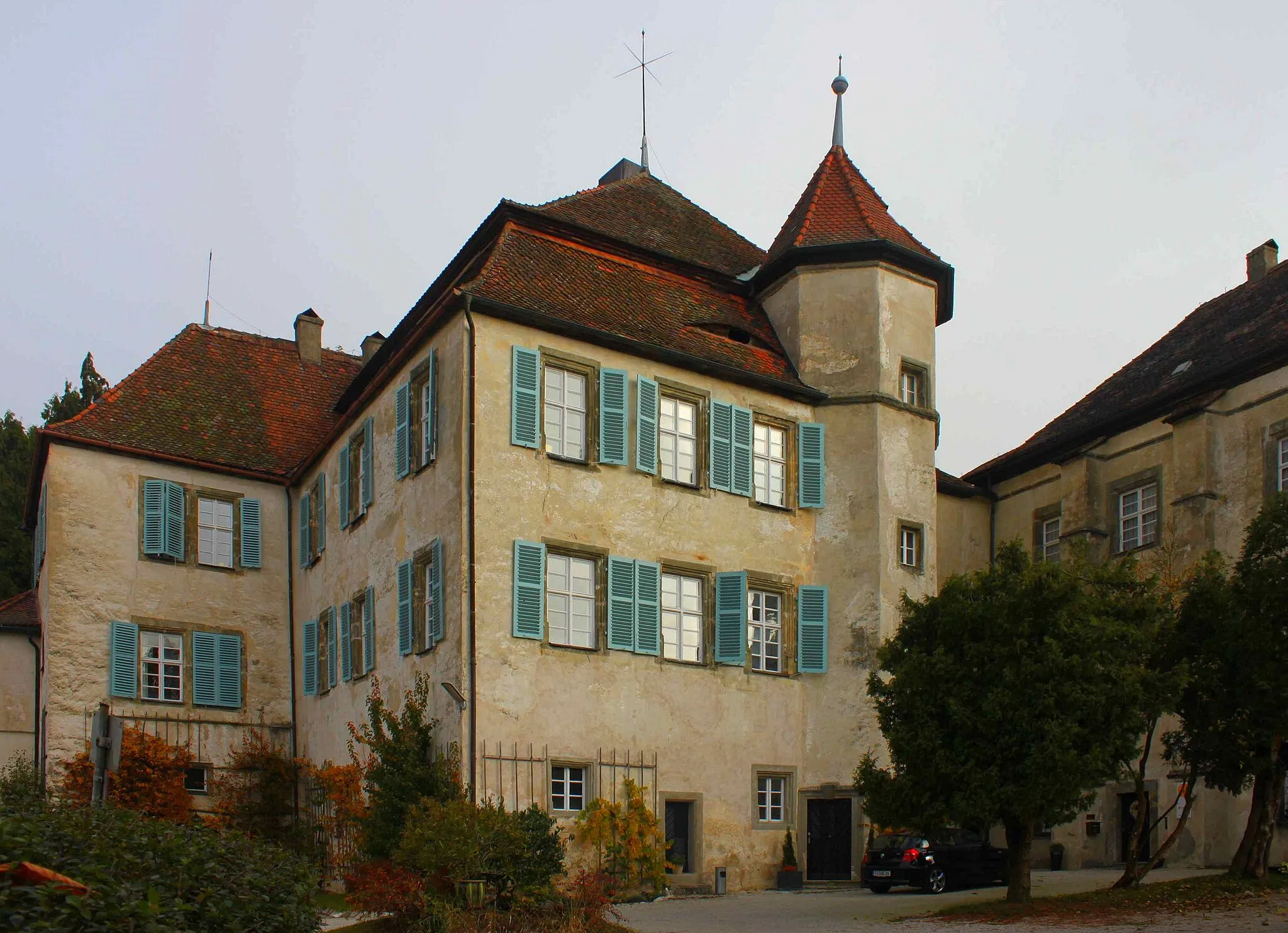
Straßberg561 mPeakStraßberg is known for its picturesque castle ruins. Take a moment to explore the site and marvel at the panoramic views offered from the castle grounds.
75 km
75 km
LiebenauHamletLiebenau is a scenic village surrounded by beautiful countryside. Pause your ride and soak in the serenity of this quaint location.
80 km
80 km
Finish: Obertrubach Village centerObertrubach: Conquer the challenging climbs and enjoy the scenic landscapes of Obertrubach on a road or gravel bike.
Cycling routes from Obertrubach:
Charming Hills and Historic Castles The Majestic Hills Adventure Scenic Landscapes and Serene Villages Gravel Adventure through Nature The Franconian Heights Obertrubach - Reitersberg Loop Obertrubach - Hormersdorf Loop Obertrubach - Bärnfels Loop Obertrubach - Zehnerstein Loop The Epic Auerberg Challenge Off the Beaten Path Gravel Adventure Scenic Road Tour through Obertrubach
Cycling routes nearby: