Gravel Adventure to Taschnersfelsen
A gravel cycling route starting from Poxdorf
Embark on a gravel adventure to Taschnersfelsen from Poxdorf
Map

If you're an avid gravel cyclist, this route is perfect for you. Starting from Poxdorf, this 60 km route offers an ascent of 909 m and takes you to the stunning Taschnersfelsen. On the way, you can visit highlights such as Burg Wiesentfels, an impressive castle, and Huppendorf, a picturesque village. Taschnersfelsen itself is a rocky outcrop that offers breathtaking views of the surrounding countryside. With its challenging terrain and beautiful scenery, this gravel adventure is sure to leave you satisfied.
gravel
60 km
909 m
Tough
Route profile
Highlights on the route
0 km
0 km
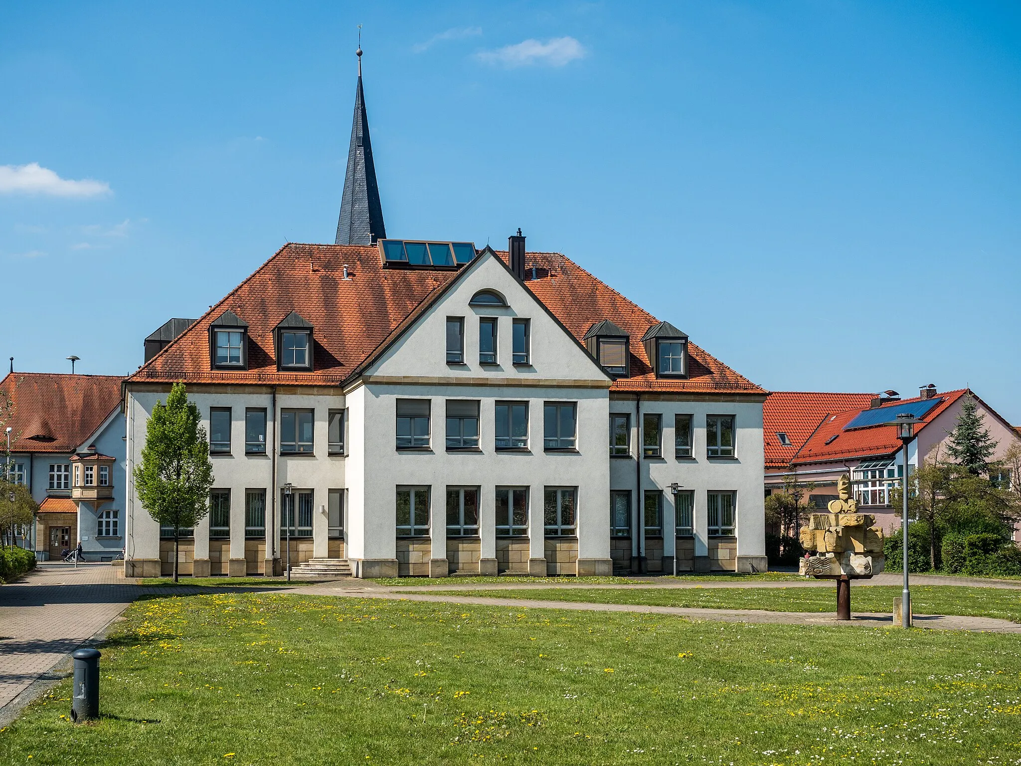
Start: Poxdorf Village centerPoxdorf: Exploring the cycling routes of Poxdorf in Oberfranken
Poxdorf is a small town located in Oberfranken, Germany. This locality offers great cycling routes for road and gravel cyclists. The roads here are well-maintained and there are plenty of rolling hills to challenge yourself. One notable cycling spot nearby is the Osserberg mountain, where you can find a beautiful and challenging climb. Poxdorf itself is a charming town with friendly locals and a peaceful atmosphere. With its cycling-friendly routes and picturesque surroundings, Poxdorf is a great destination for cyclists of all levels.0 km
0 km
PoxdorfVillageStart your adventure in Poxdorf, a tranquil village surrounded by nature.
8 km
8 km
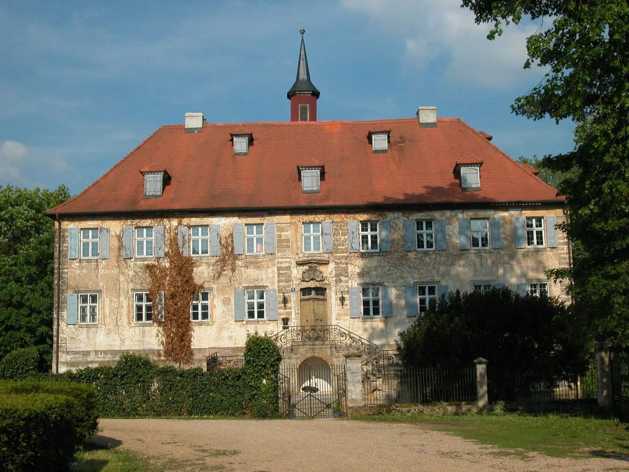
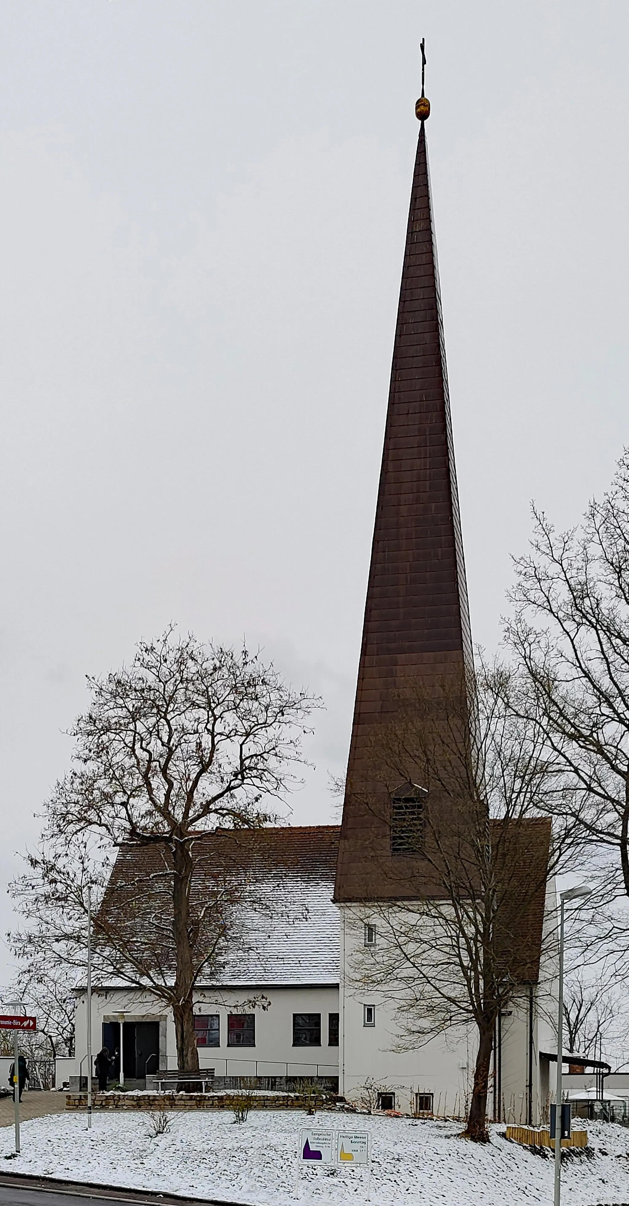
Burg WiesentfelsCastleExplore the impressive Burg Wiesentfels, a medieval castle with a rich history.
14 km
14 km
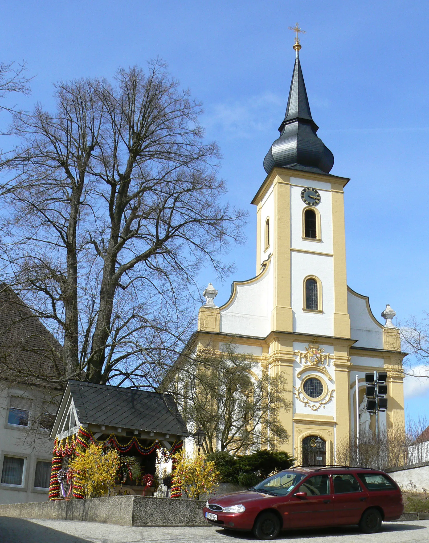
KrögelsteinVillagePass through Krögelstein, a charming village known for its traditional timber-framed houses.
27 km
27 km
Pfarrhügel569 mPeakClimb up Pfarrhügel and enjoy panoramic views of the surrounding countryside.
34 km
34 km
Streiter Berg482 mPeakDiscover Streiter Berg, a hill offering unique geological formations.
38 km
38 km
WohnsdorfHamletCycle through Wohnsdorf, a quaint village with idyllic scenery.
49 km
49 km
NeuhausVillageVisit Neuhaus, a charming village nestled in the rolling Bavarian hills.
49 km
49 km
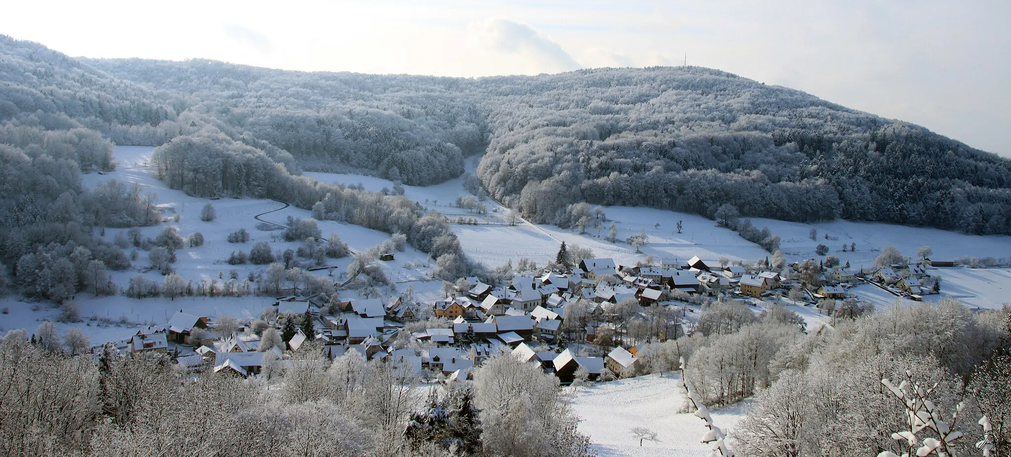
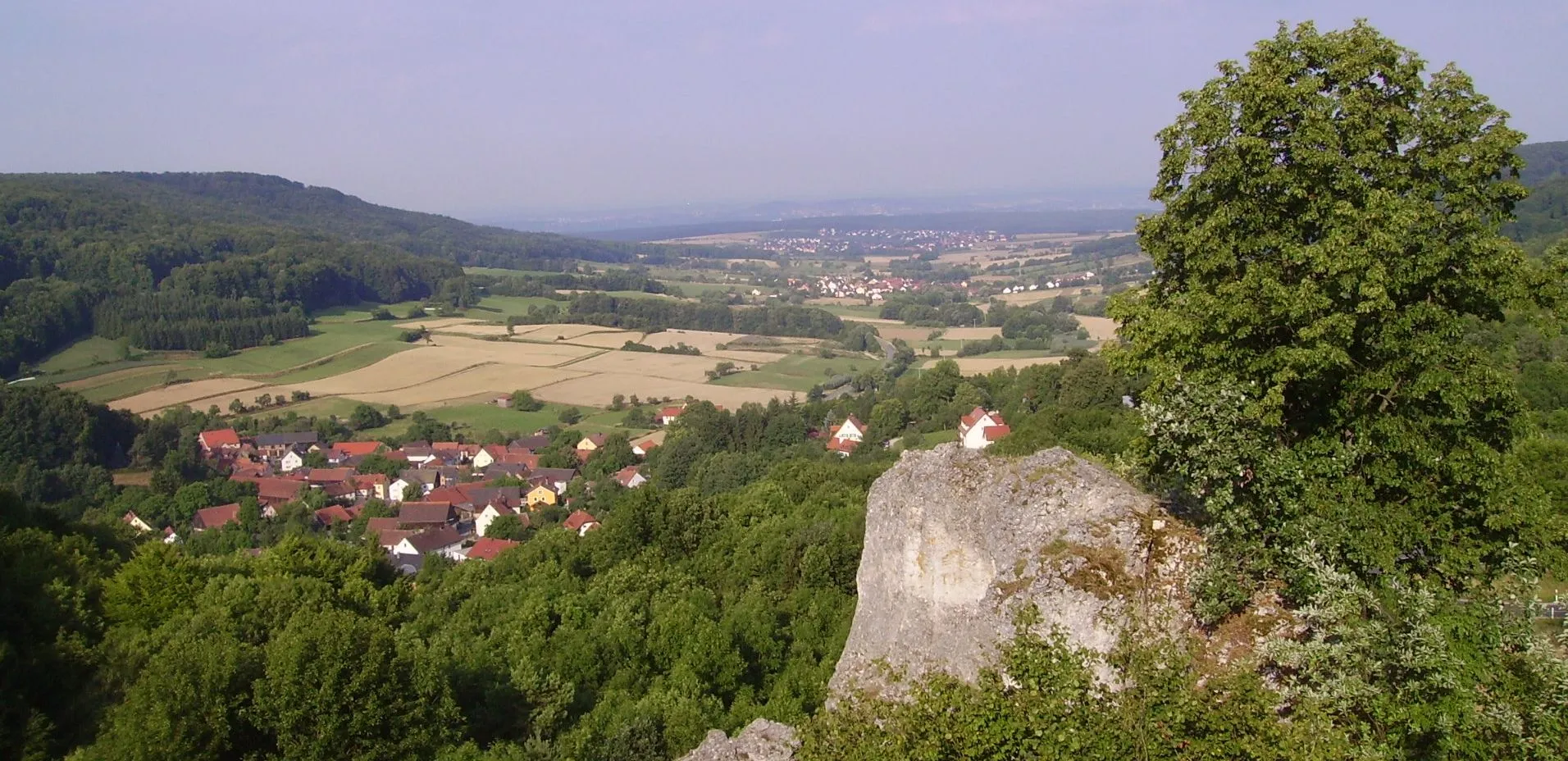
TaschnersfelsenViewpointExplore Taschnersfelsen, a rocky outcrop providing stunning panoramic views.
58 km
58 km
HuppendorfVillageEnjoy the peacefulness of Huppendorf, a traditional village with beautiful landscapes.
60 km
60 km
Finish: Poxdorf Village centerPoxdorf: Exploring the cycling routes of Poxdorf in Oberfranken
Cycling routes nearby: