Gravel Adventure through Scenic Terrain
A gravel cycling route starting from Weismain
Embark on an adventurous gravel ride through breathtaking landscapes
Map
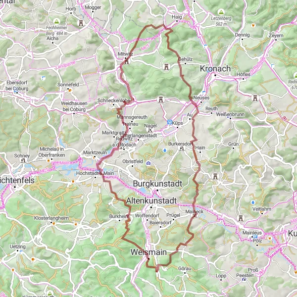
This gravel cycling route near Weismain promises an exhilarating adventure with a total ascent of 1183 meters and a distance of 68 kilometers. The route takes riders through stunning landscapes and presents captivating challenges such as the thrilling descent of Mitwitzer Berg. Highlights include Marktgraitz, Rotschreuther Berg, Golitz waterfall, and Niesten, making this route ideal for gravel enthusiasts seeking a thrilling and visually rewarding ride.
gravel
68 km
1183 m
Tough
Route profile
Highlights on the route
0 km
0 km
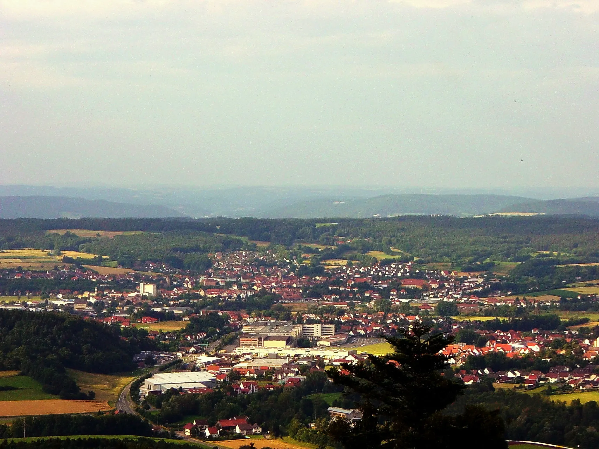
Start: Krassach Village centerWeismain: Cycling paradise in Oberfranken, Germany.
Weismain, situated in Oberfranken, Germany, is a hidden gem for cyclists. The locality boasts beautiful scenery, well-paved roads, and a vibrant cycling community. Cyclists in Weismain can enjoy the Nordgau Bike Park, which offers thrilling trails for mountain bikers. Thanks to its central location in Oberfranken, Weismain serves as an ideal starting point for exploring the region's famous climbs, such as the Ochsenkopf and the Scherzenmühle. In summary, Weismain is a fantastic destination for both road and off-road cyclists.2 km
2 km
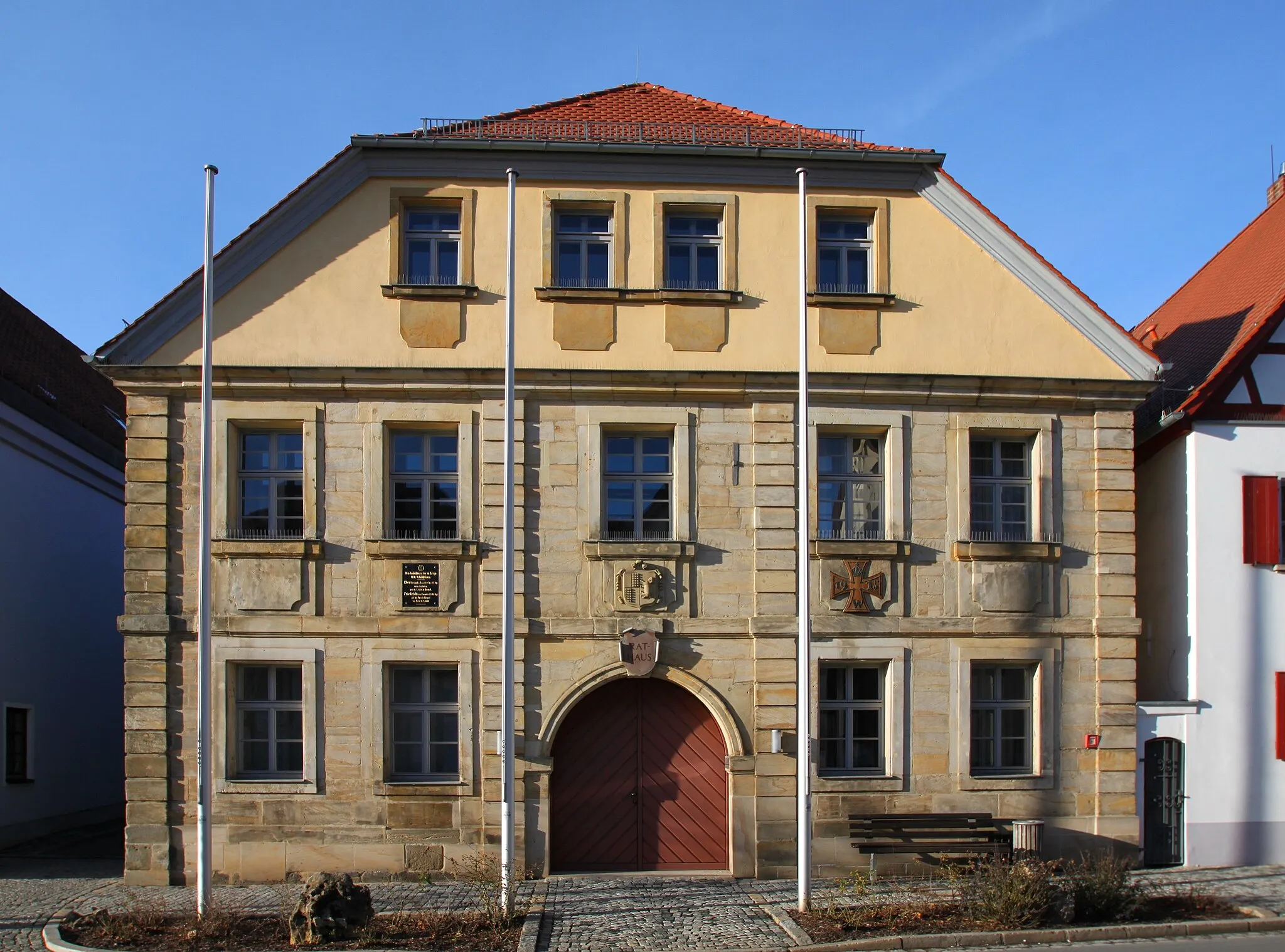
WeismainTownWeismain, the starting and ending point of this route, serves as a convenient base and offers the opportunity to explore nearby attractions and enjoy the region's cultural offerings.
10 km
10 km
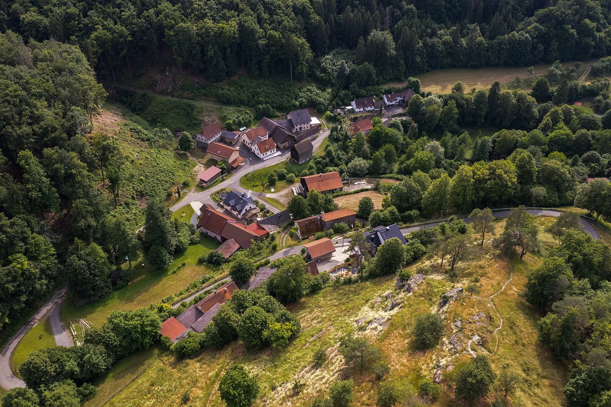
Külmitz438 mPeakKülmitz, appearing at 10 kilometers, is a serene and picturesque village known for its tranquil ambiance and charming setting, making it a delightful spot to pause and appreciate the surroundings.
19 km
19 km
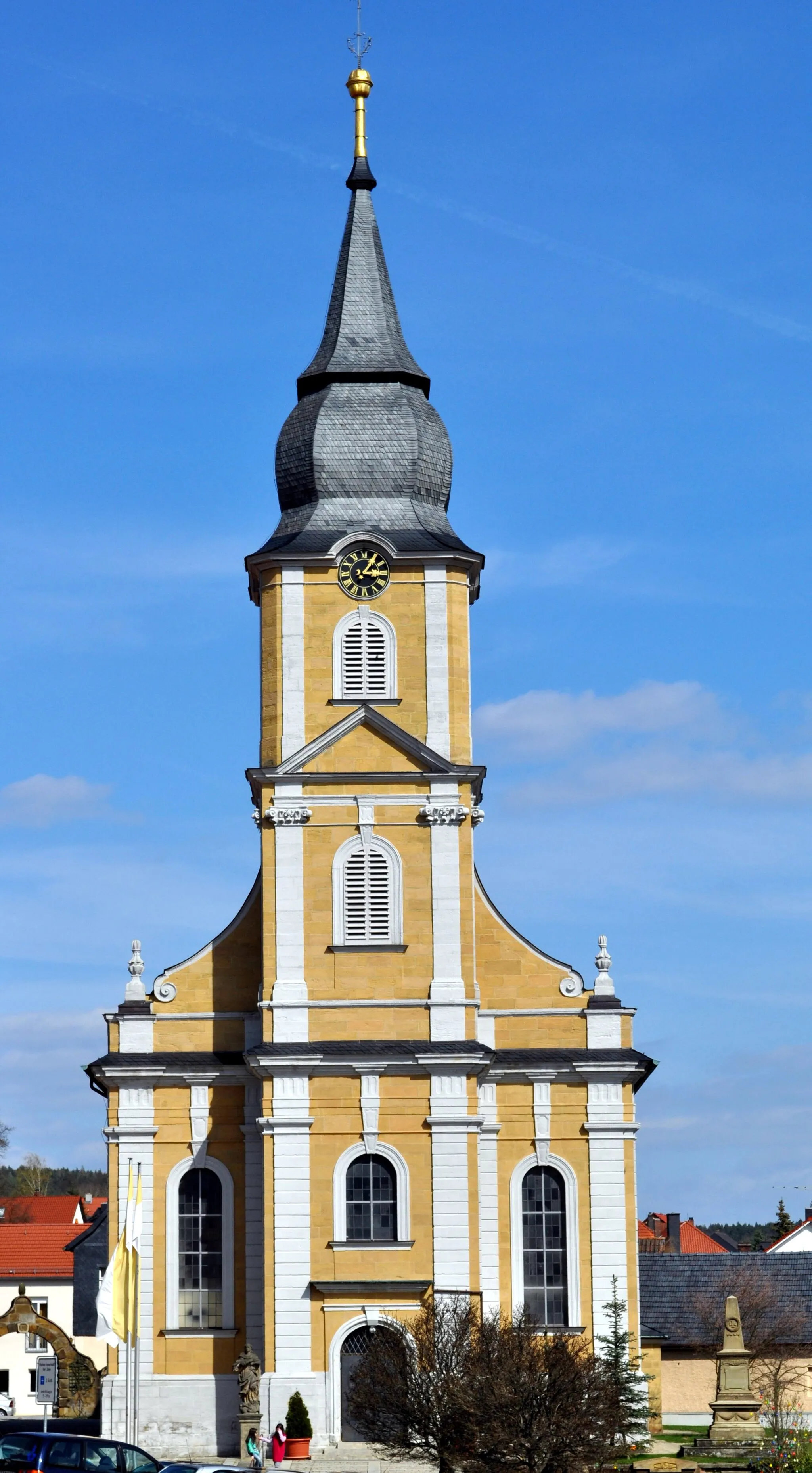
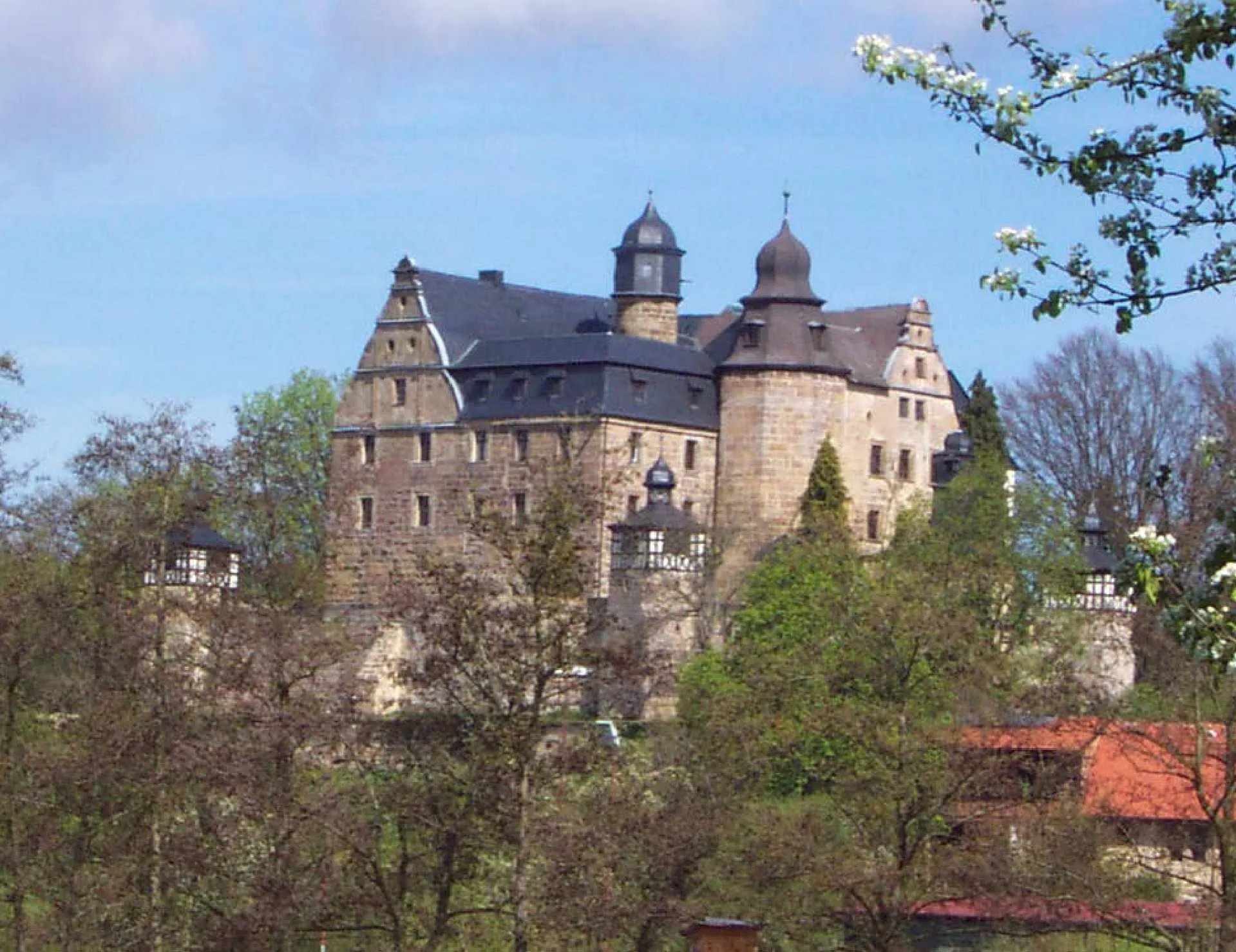
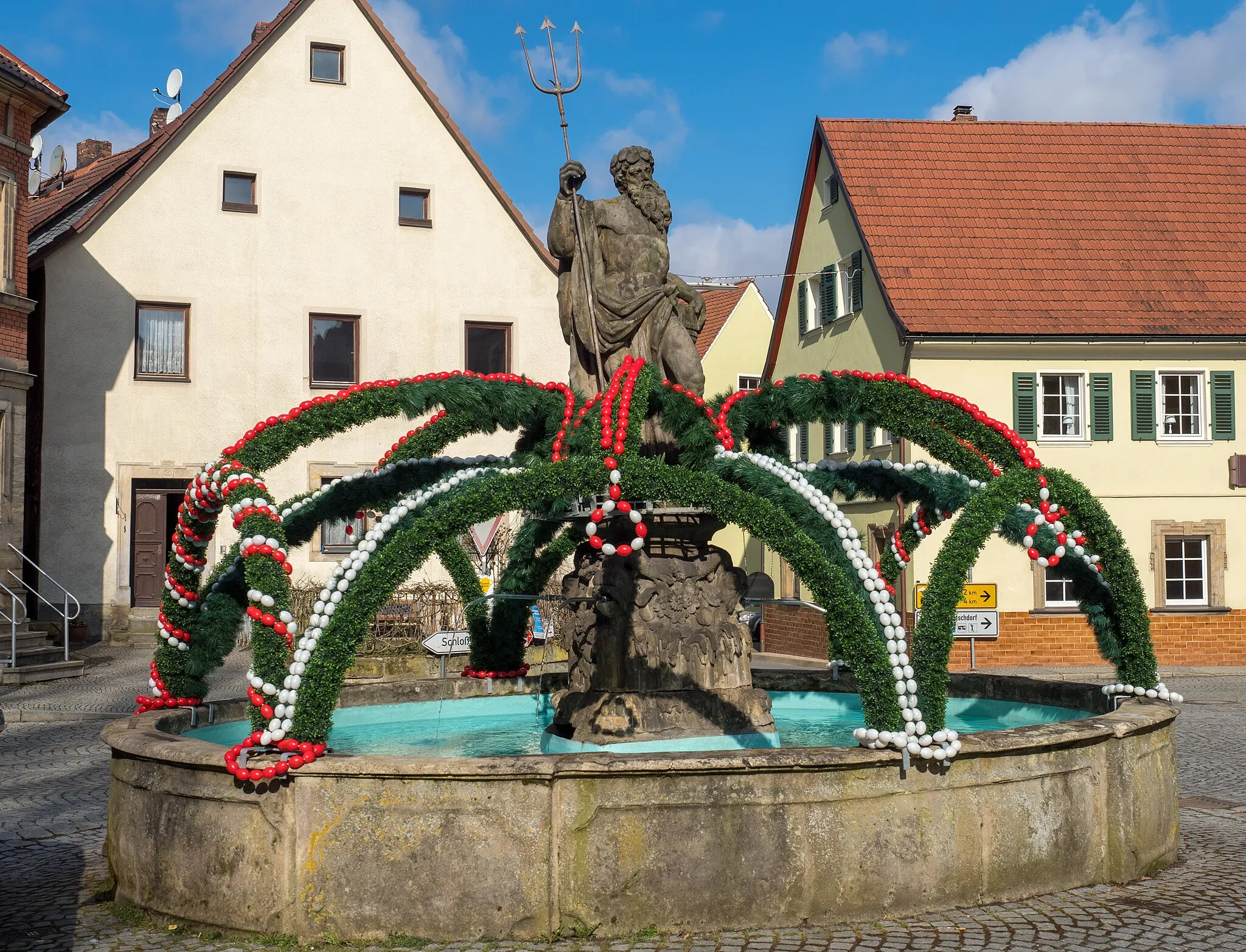
MarktgraitzVillageAt 19 kilometers, Marktgraitz welcomes gravel riders with its quaint atmosphere and romantic castle ruins, showcasing the area's rich history.
29 km
29 km
Mitwitzer Berg435 mPeakThe Mitwitzer Berg, located at 29 kilometers, provides a thrilling descent for gravel riders while offering breathtaking views of the surrounding landscape.
39 km
39 km
Rotschreuther Berg503 mPeakRotschreuther Berg, appearing at 39 kilometers, rewards gravel riders with a challenging climb and panoramic vistas, creating a deeply satisfying experience.
41 km
41 km
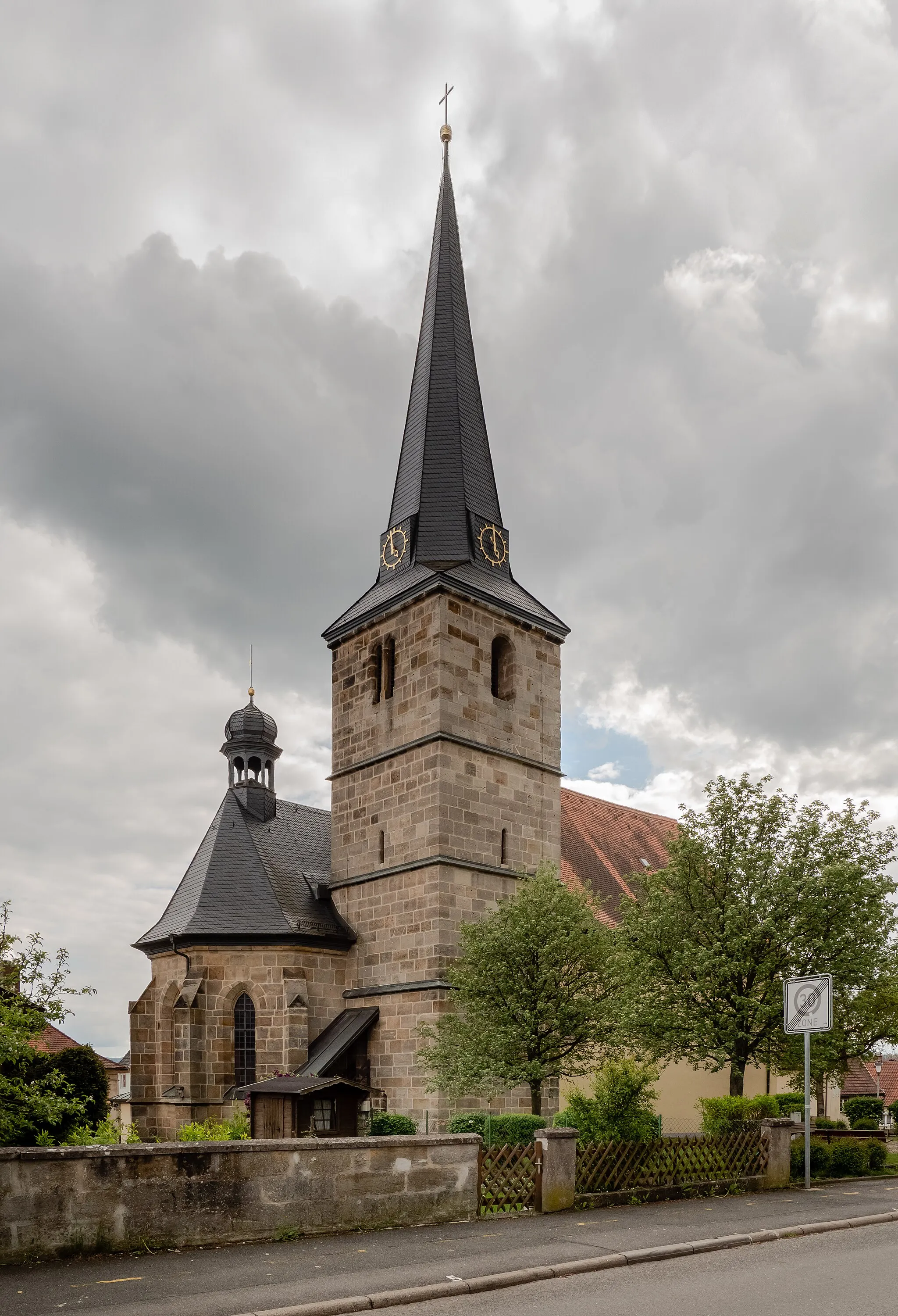
GehülzVillageAt 41 kilometers, Gehülz offers a joyous riding experience through grassy plains and brings gravel cyclists closer to nature.
47 km
47 km
HummendorfVillageHummendorf, situated at 47 kilometers, surprises gravel riders with its idyllic countryside charm, providing moments of tranquility within the adventure.
60 km
60 km
Windhöhe311 mPeakThe Windhöhe, at around 60 kilometers, serves as both a challenging climb and a rewarding vantage point, offering spectacular panoramic views over the captivating landscapes.
66 km
66 km
NiestenVillageNiesten, located at the final stretch of this gravel adventure, welcomes riders with its picturesque fields and natural beauty, concluding the journey on a visually appealing note.
68 km
68 km
Finish: Krassach Village centerWeismain: Cycling paradise in Oberfranken, Germany.
Cycling routes from Weismain:
Gravel Adventure through Scenic Terrain The Gravel Adventure Weismain to Giechkröttendorf Gravel Loop Weismain to Kalkberg Loop Weismain to Forchheim Circuit Weismain to Kalkberg Gravel Adventure Challenging Road Route with Scenic Highlights Weismain to Giechkröttendorf Gravel Adventure Road Adventure with Scenic Landscapes Scenic Road Route with Shorter Distance
Cycling routes nearby: