Road Adventure with Scenic Landscapes
A road cycling route starting from Weismain
Embark on a road cycling adventure through beautiful landscapes
Map
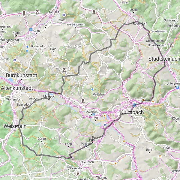
This road cycling route near Weismain offers an adventure through stunning landscapes and historical sites. With a distance of 65 kilometers and a cumulative ascent of 995 meters, cyclists will not only challenge themselves physically but also enjoy the picturesque surroundings. Highlights include the Windhöhe, Stennesberg, Stadtsteinach, and Krassacher Mühle, which showcase the diverse beauty of the region.
road
65 km
995 m
Tough
Route profile
Highlights on the route
0 km
0 km
Start: Weismain City centerWeismain: Cycling paradise in Oberfranken, Germany.
Weismain, situated in Oberfranken, Germany, is a hidden gem for cyclists. The locality boasts beautiful scenery, well-paved roads, and a vibrant cycling community. Cyclists in Weismain can enjoy the Nordgau Bike Park, which offers thrilling trails for mountain bikers. Thanks to its central location in Oberfranken, Weismain serves as an ideal starting point for exploring the region's famous climbs, such as the Ochsenkopf and the Scherzenmühle. In summary, Weismain is a fantastic destination for both road and off-road cyclists.5 km
5 km
Windhöhe311 mPeakThe Windhöhe, located at the early part of the route, offers sweeping panoramic views over the surrounding landscapes, making it a must-stop spot for cyclists.
12 km
12 km
GärtenrothVillageGärtenroth, at 12 kilometers into the route, is a small village known for its charming flower-filled gardens and peaceful atmosphere, inviting cyclists to take a moment to relax.
20 km
20 km
Stennesberg512 mPeakThe Stennesberg, situated at 20 kilometers, delights cyclists with its vineyards and panoramic vistas, truly reflecting the beauty of the region.
27 km
27 km
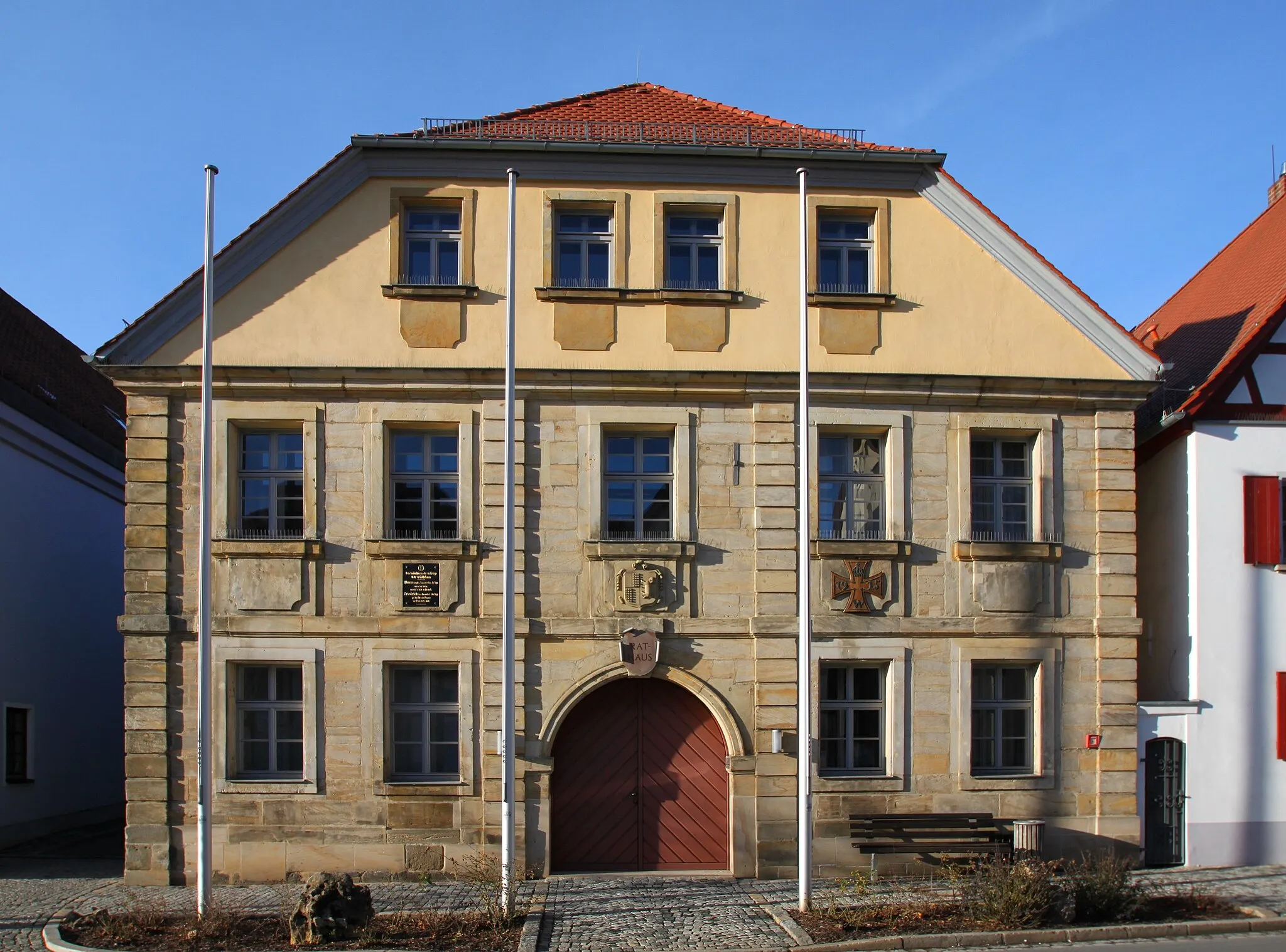
RugendorfVillageRugendorf, located at 27 kilometers, is a quaint village with traditional half-timbered houses and well-preserved architecture from the past centuries, capturing the essence of Franconian heritage.
33 km
33 km
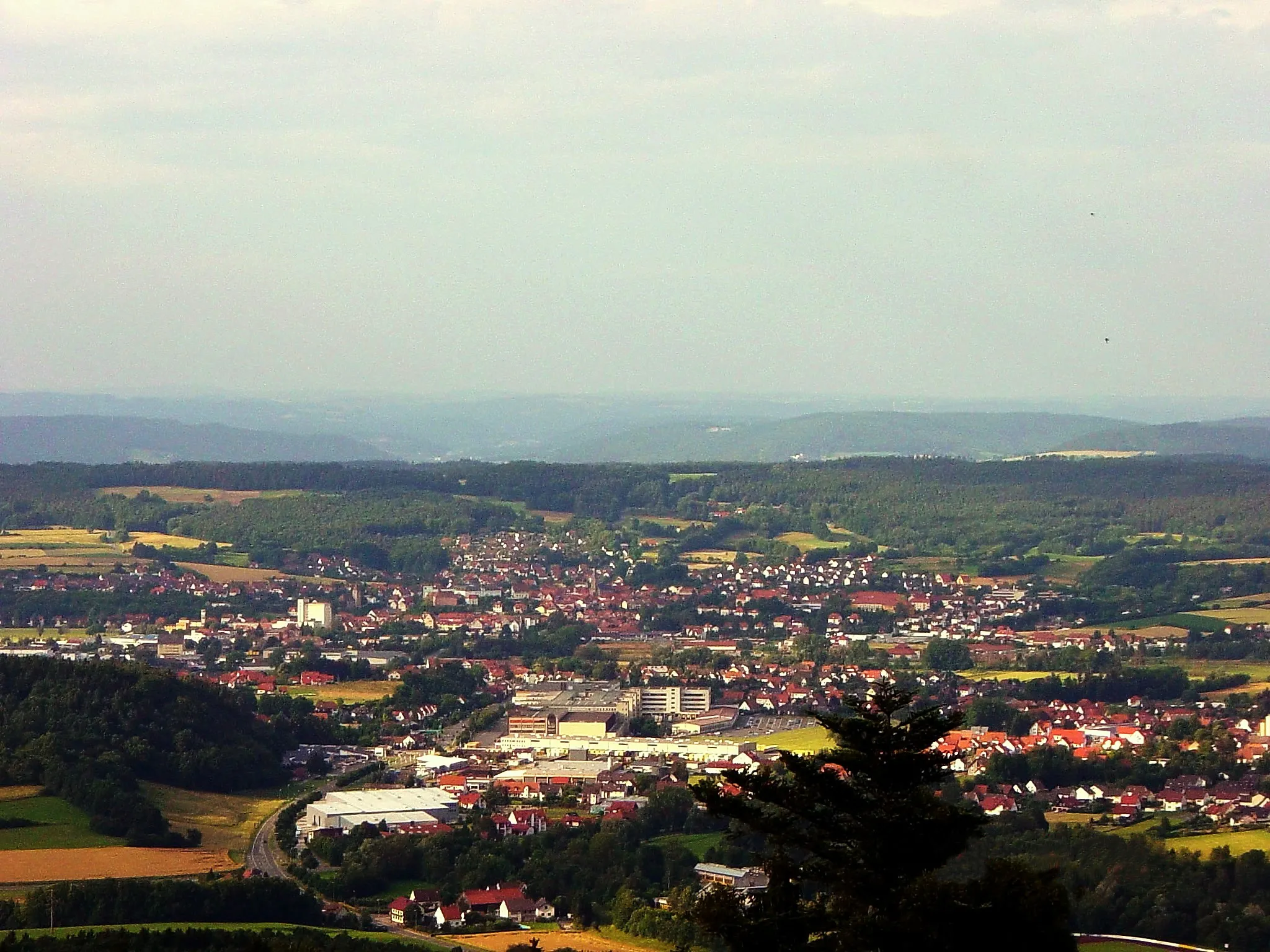
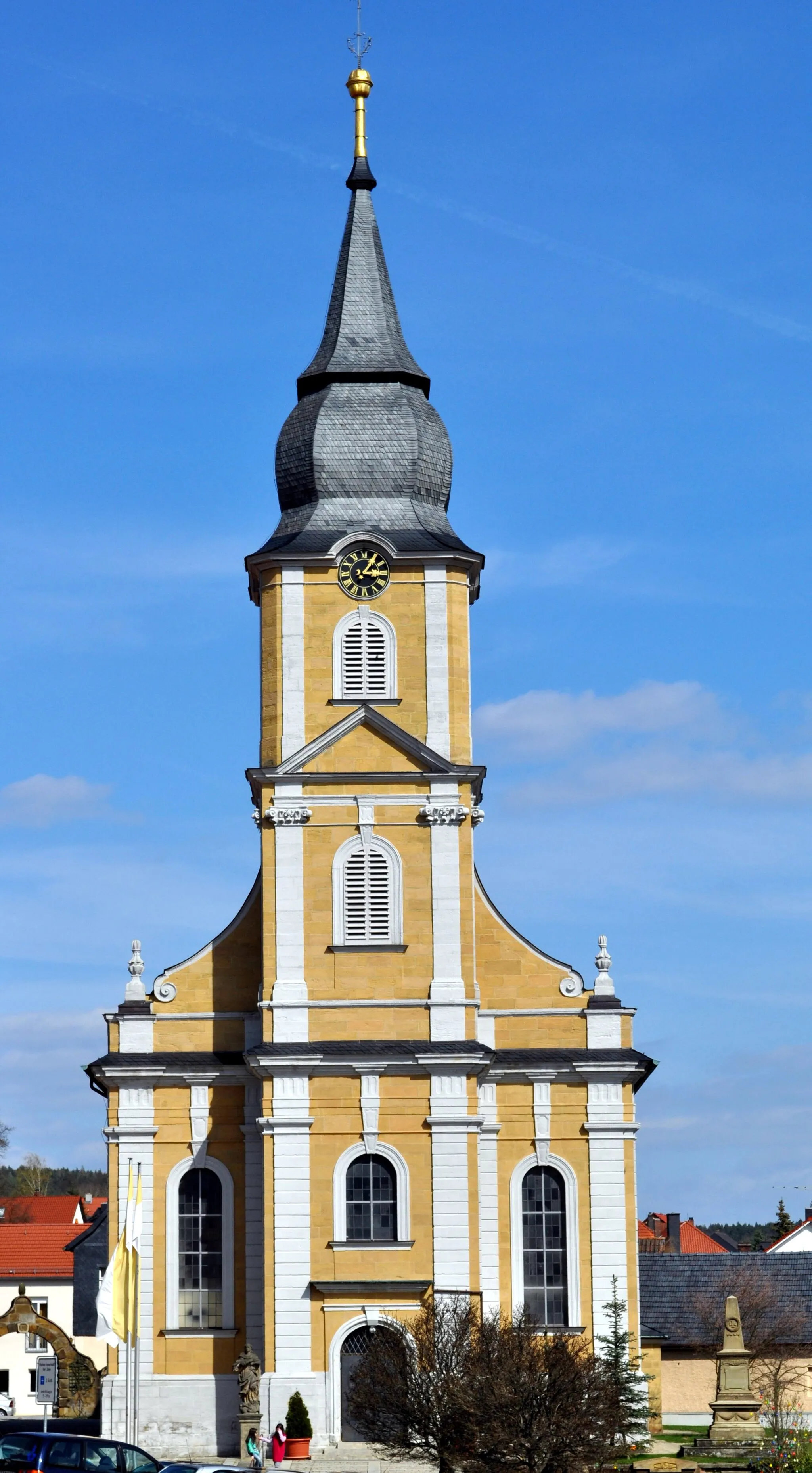
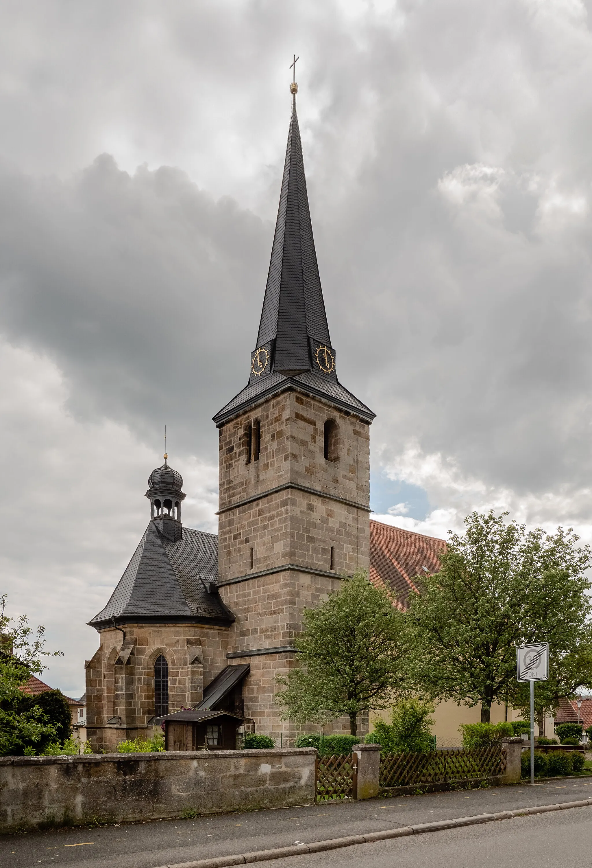
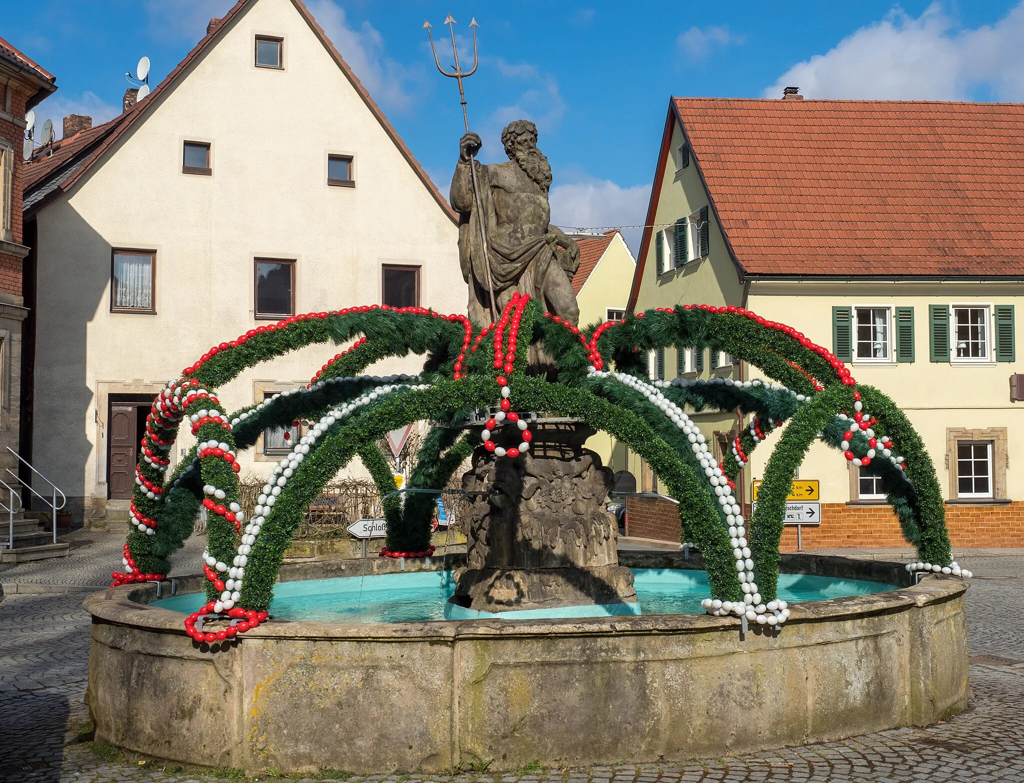
StadtsteinachTownStadtsteinach, at around 33 kilometers, awaits cyclists with its beautiful market square, impressive churches, and charming historical buildings.
40 km
40 km
Biegigsberg424 mPeakCyclists approaching Biegigsberg, situated at 40 kilometers, will be welcomed by its striking chapel and lush green surroundings, creating a serene ambiance.
52 km
52 km
PeestenVillagePeesten, located at 52 kilometers into the route, provides a refreshing break with its picturesque landscapes and tranquil atmosphere.
55 km
55 km
Bocksruck511 mPeakBocksruck, 55 kilometers into the route, offers splendid views of rolling hills and charming countryside, showcasing the sheer beauty of the region.
62 km
62 km
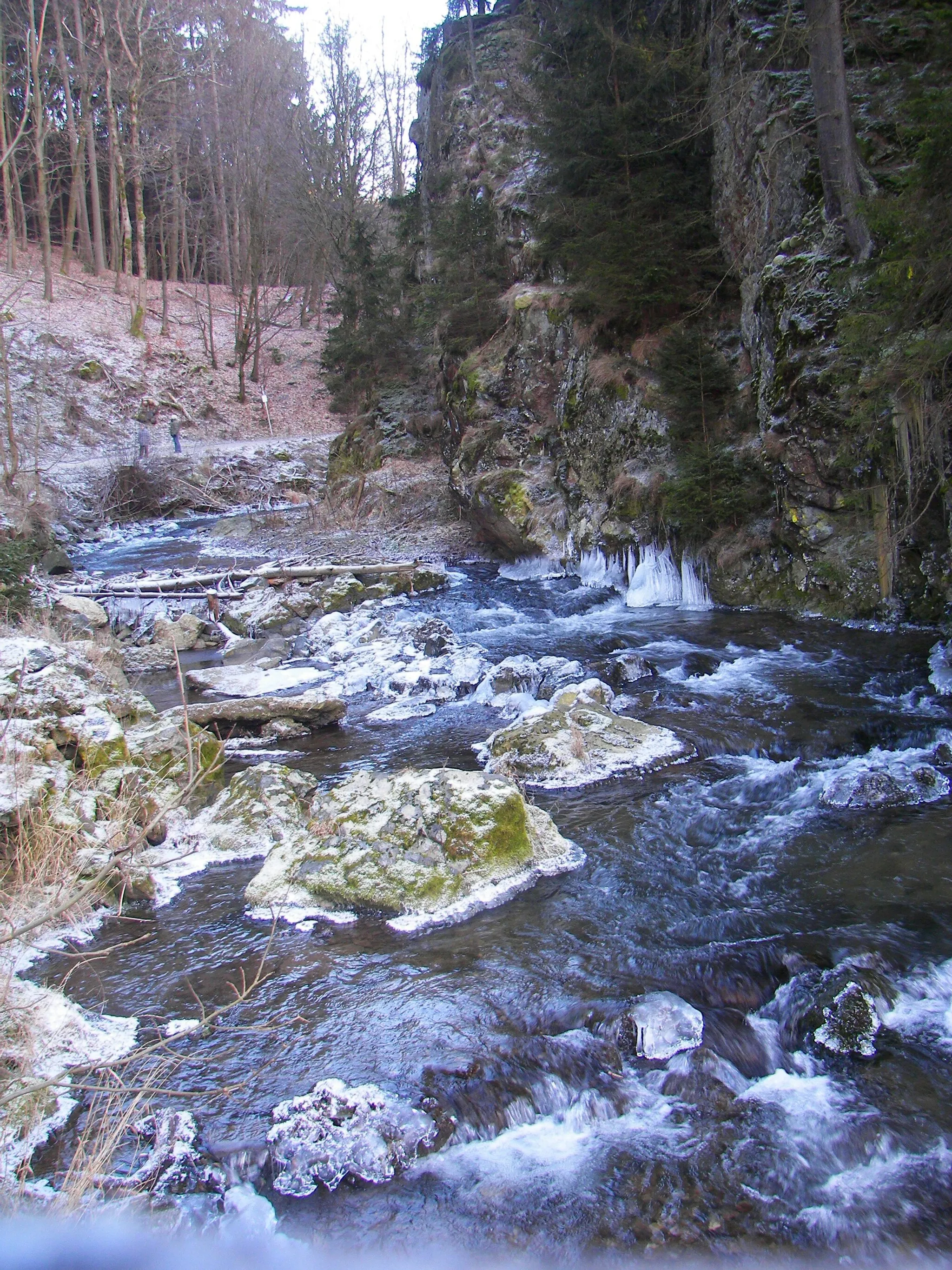
Krassacher MühleHamletThe Krassacher Mühle, situated at 62 kilometers, is a historic watermill nestled in a peaceful setting, embodying the idyllic charm of the surroundings.
64 km
64 km
Kalkberg454 mPeak ViewpointThe Kalkberg, appearing at 64 kilometers, adds a touch of beauty and distinctiveness to the route with its limestone formation and unique geological features.
65 km
65 km
Finish: Weismain City centerWeismain: Cycling paradise in Oberfranken, Germany.
Cycling routes from Weismain:
Gravel Adventure through Scenic Terrain The Gravel Adventure Weismain to Giechkröttendorf Gravel Loop Weismain to Kalkberg Loop Weismain to Forchheim Circuit Weismain to Kalkberg Gravel Adventure Challenging Road Route with Scenic Highlights Weismain to Giechkröttendorf Gravel Adventure Road Adventure with Scenic Landscapes Scenic Road Route with Shorter Distance
Cycling routes nearby: