Weismain to Kalkberg Loop
A road cycling route starting from Weismain
Explore the beautiful landscapes around Weismain on this road cycling route
Map
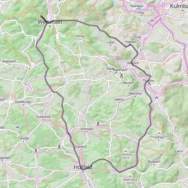
This 56 km road cycling route starting near Weismain takes you through charming villages and scenic countryside. With a total ascent of 805 m, it offers a moderate challenge for well-trained amateur cyclists. Highlights along the route include the Tanzlinde, a historic linden tree, and Rappersberg, a hill offering panoramic views. The route also passes through Thurnau, known for its impressive castle. Overall, this route provides a great opportunity to experience the picturesque beauty of Oberfranken.
road
56 km
805 m
Tough
Route profile
Highlights on the route
0 km
0 km
Start: Giechkröttendorf Village centerWeismain: Cycling paradise in Oberfranken, Germany.
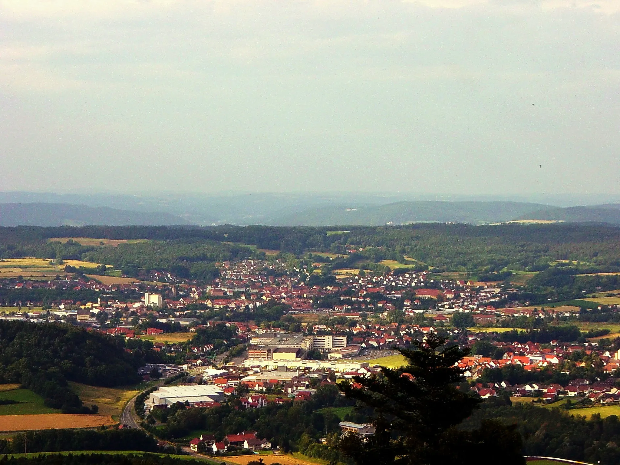
Weismain, situated in Oberfranken, Germany, is a hidden gem for cyclists. The locality boasts beautiful scenery, well-paved roads, and a vibrant cycling community. Cyclists in Weismain can enjoy the Nordgau Bike Park, which offers thrilling trails for mountain bikers. Thanks to its central location in Oberfranken, Weismain serves as an ideal starting point for exploring the region's famous climbs, such as the Ochsenkopf and the Scherzenmühle. In summary, Weismain is a fantastic destination for both road and off-road cyclists.1 km
1 km
WeismainTownWeismain is the starting point of this route in the heart of Oberfranken.
11 km
11 km
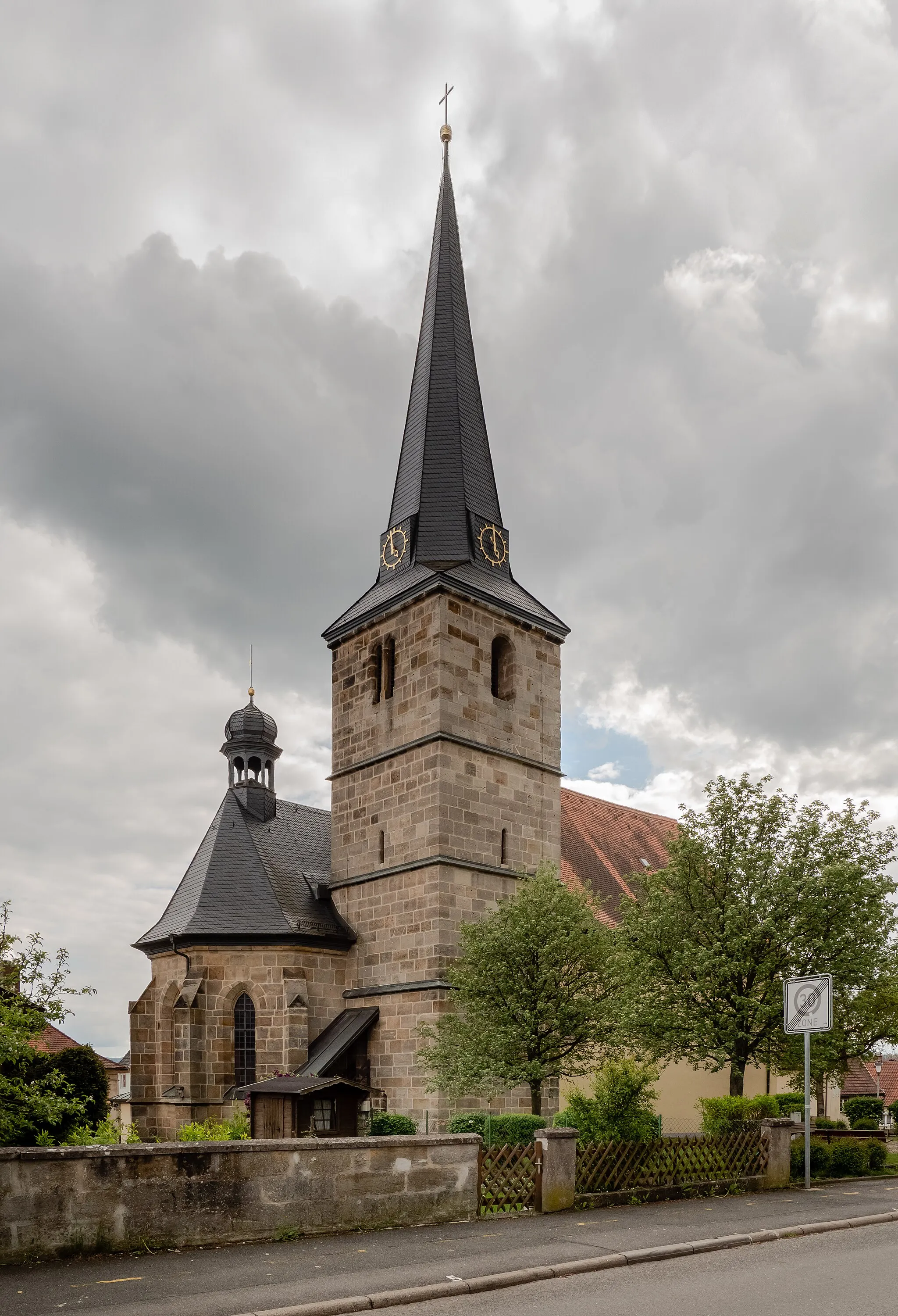
TanzlindeAttractionThe Tanzlinde is a centuries-old linden tree and a symbol of the region's cultural heritage.
18 km
18 km
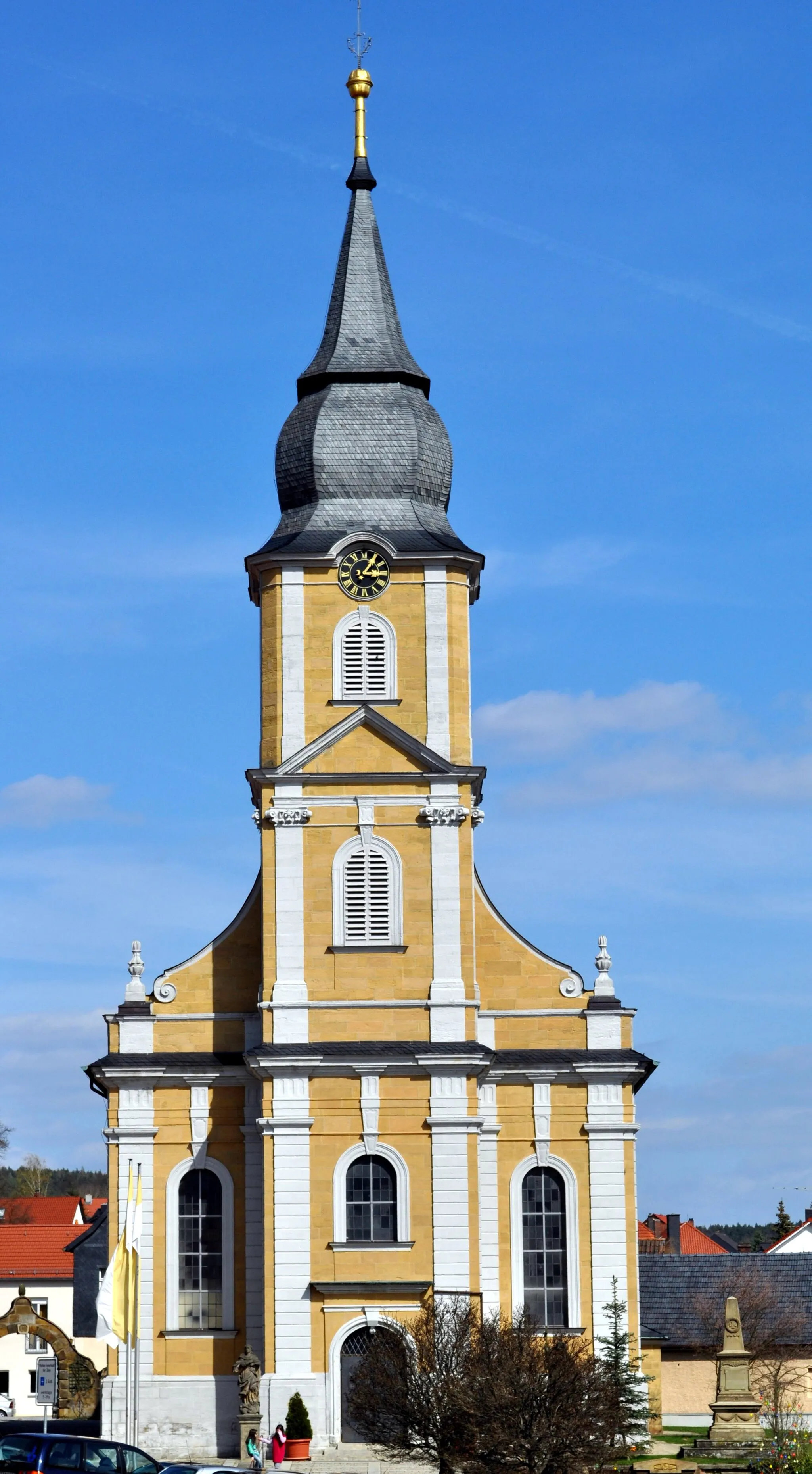
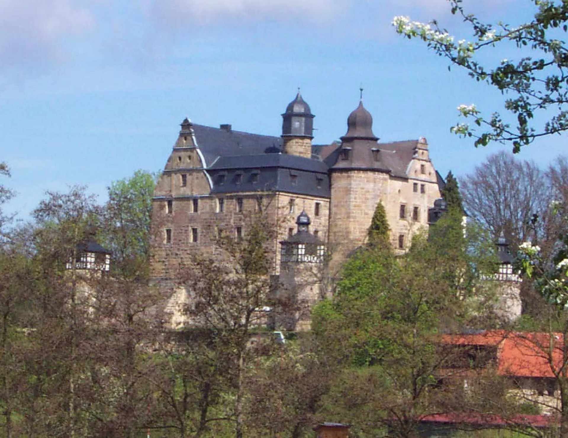
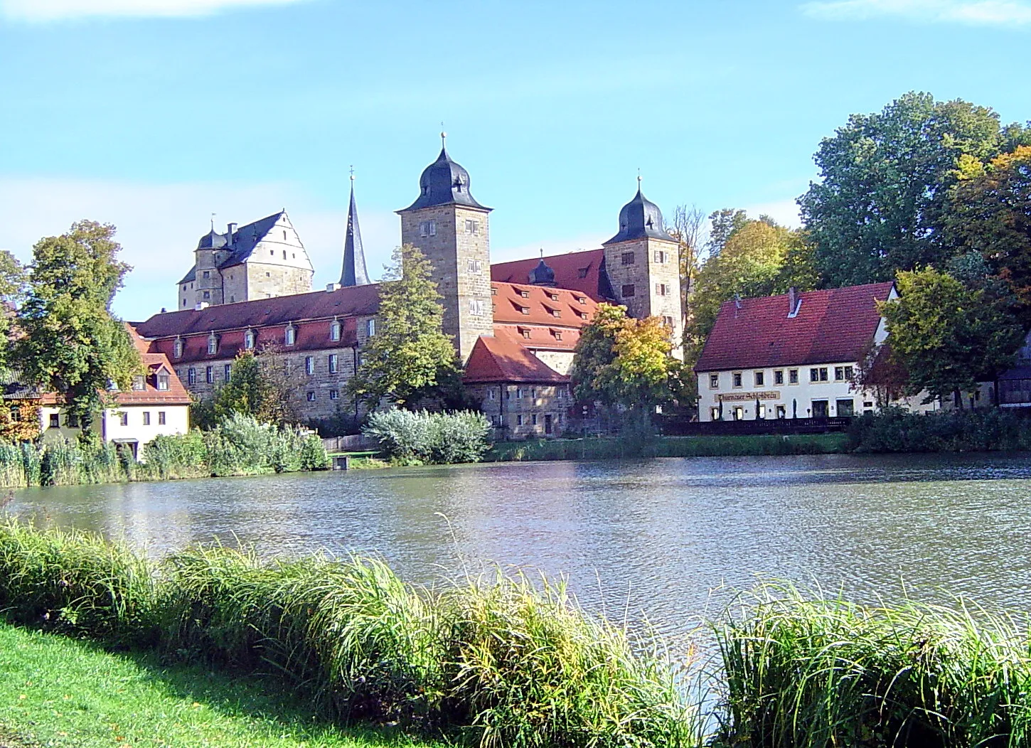
ThurnauVillageThurnau is a small town famous for its well-preserved castle, which dates back to the 13th century.
30 km
30 km
Rappersberg554 mPeakRappersberg is a hill offering stunning views of the surrounding countryside.
36 km
36 km
HollfeldTownHollfeld is a charming town with historical buildings and a relaxing atmosphere.
48 km
48 km
WeidenVillageWeiden is a picturesque village with traditional Franconian architecture.
54 km
54 km
Kalkberg454 mPeak ViewpointKalkberg is a scenic area known for its limestone rock formations.
56 km
56 km
Finish: Giechkröttendorf Village centerWeismain: Cycling paradise in Oberfranken, Germany.
Cycling routes from Weismain:
Gravel Adventure through Scenic Terrain The Gravel Adventure Weismain to Giechkröttendorf Gravel Loop Weismain to Kalkberg Loop Weismain to Forchheim Circuit Weismain to Kalkberg Gravel Adventure Challenging Road Route with Scenic Highlights Weismain to Giechkröttendorf Gravel Adventure Road Adventure with Scenic Landscapes Scenic Road Route with Shorter Distance
Cycling routes nearby: