Challenging Road Route with Scenic Highlights
A road cycling route starting from Weismain
Experience breathtaking views and conquer challenging ascents
Map
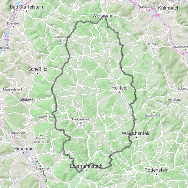
This road cycling route near Weismain offers a challenging ride with a total ascent of 2104 meters over a distance of 113 kilometers. The route takes you through picturesque landscapes and quaint villages, providing stunning views along the way. With its numerous highlights, including the Katzenbühl, Schulstein, and Hummelberg, this route is perfect for experienced cyclists looking for a challenging and scenic ride.
road
113 km
2104 m
Tough
Route profile
Highlights on the route
0 km
0 km
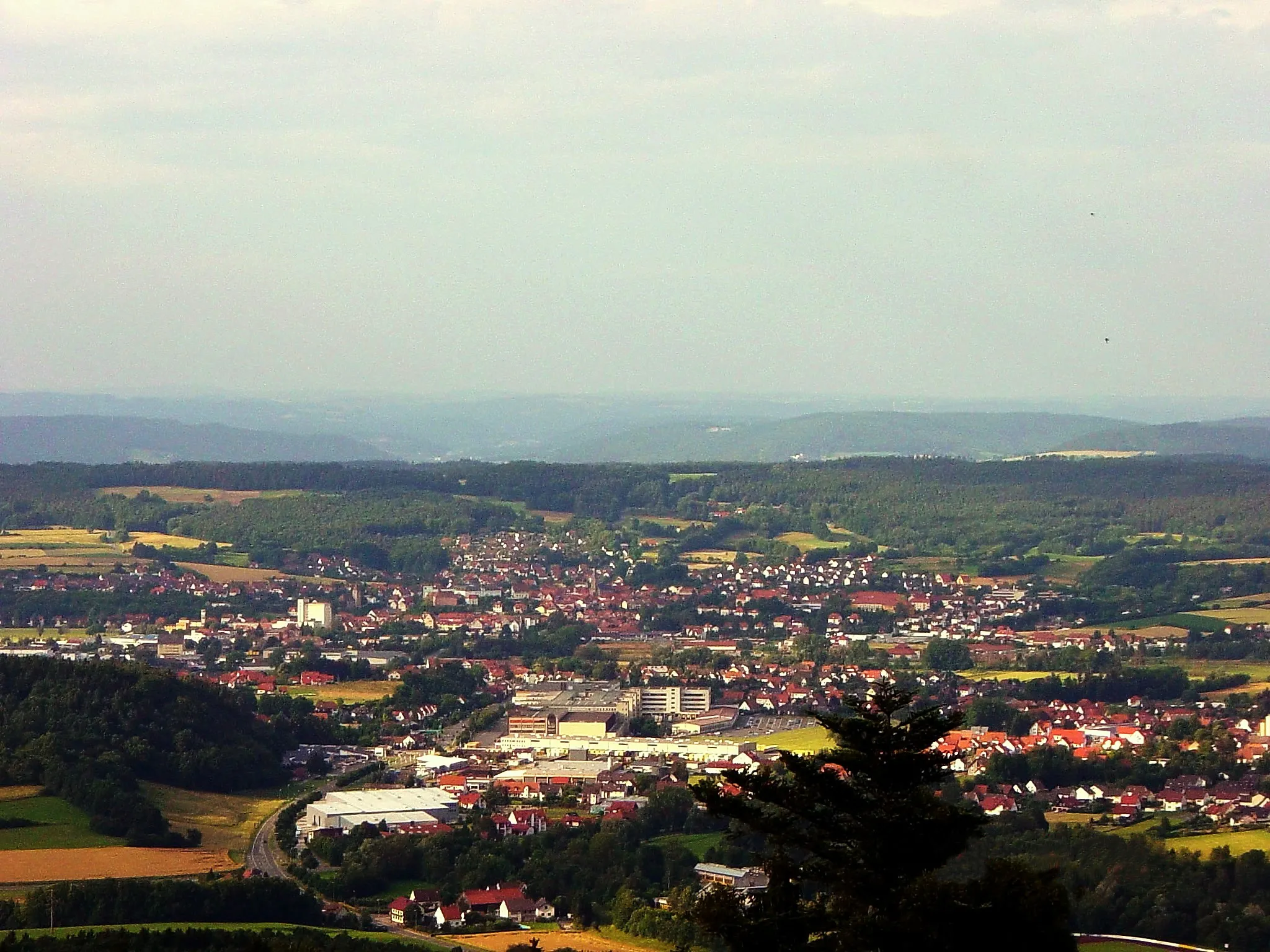
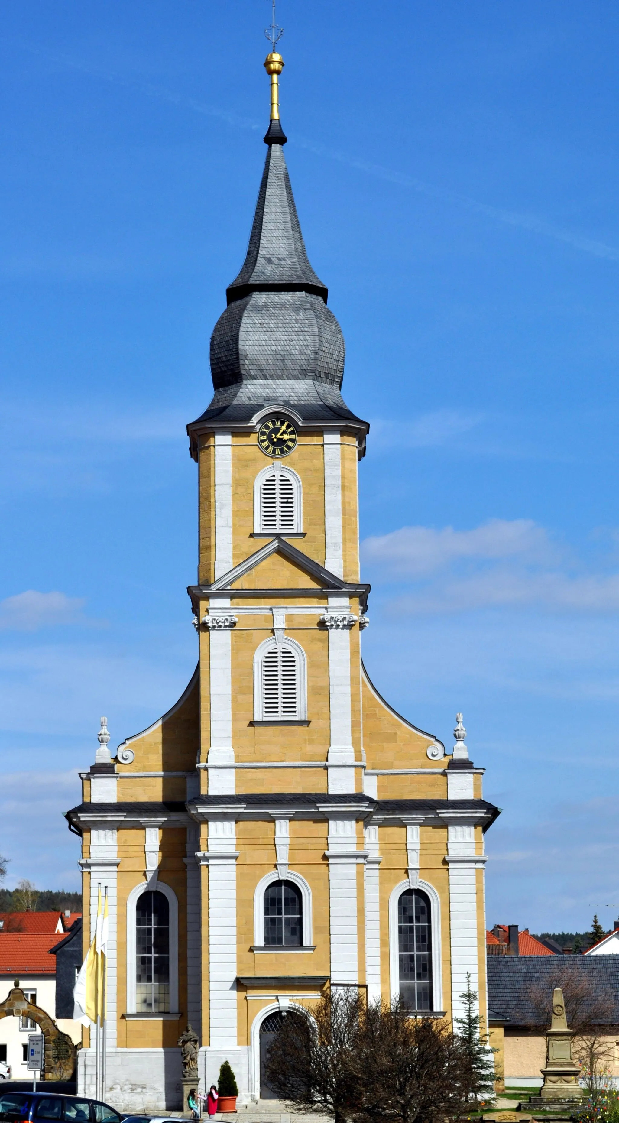
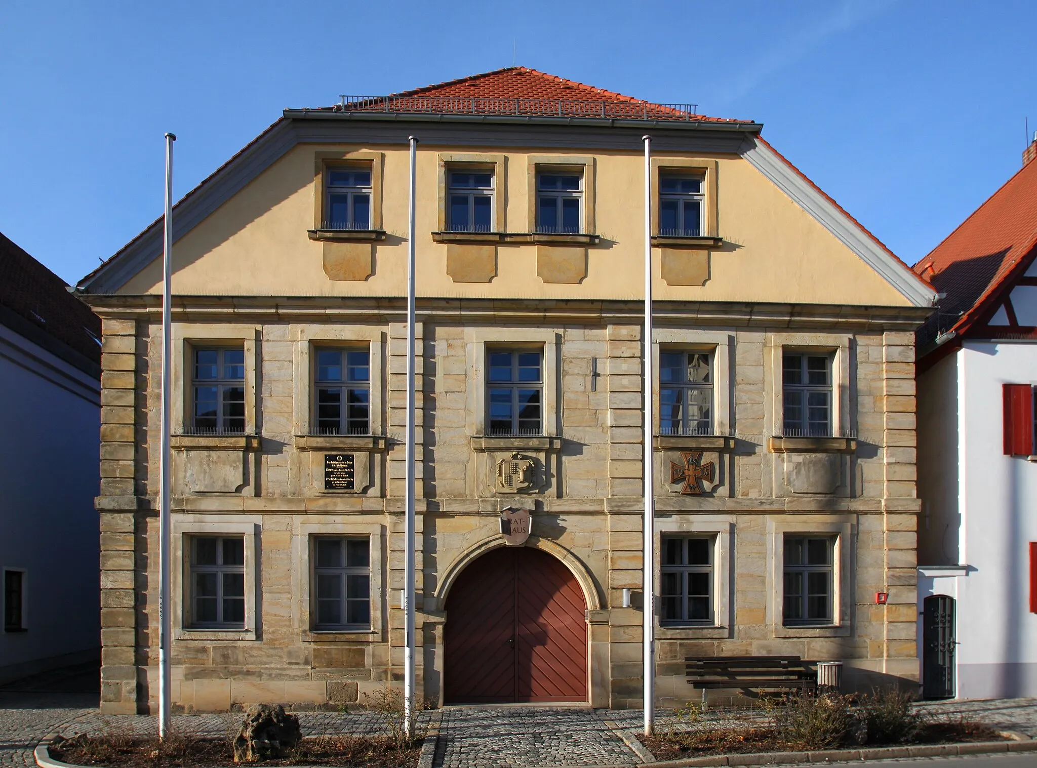
Start: Weismain City centerWeismain: Cycling paradise in Oberfranken, Germany.
Weismain, situated in Oberfranken, Germany, is a hidden gem for cyclists. The locality boasts beautiful scenery, well-paved roads, and a vibrant cycling community. Cyclists in Weismain can enjoy the Nordgau Bike Park, which offers thrilling trails for mountain bikers. Thanks to its central location in Oberfranken, Weismain serves as an ideal starting point for exploring the region's famous climbs, such as the Ochsenkopf and the Scherzenmühle. In summary, Weismain is a fantastic destination for both road and off-road cyclists.9 km
9 km
Katzenbühl492 mPeakLocated at about 9 kilometers into the route, the Katzenbühl offers panoramic views of the surrounding countryside and is a great spot for a quick rest and photo opportunity.
16 km
16 km
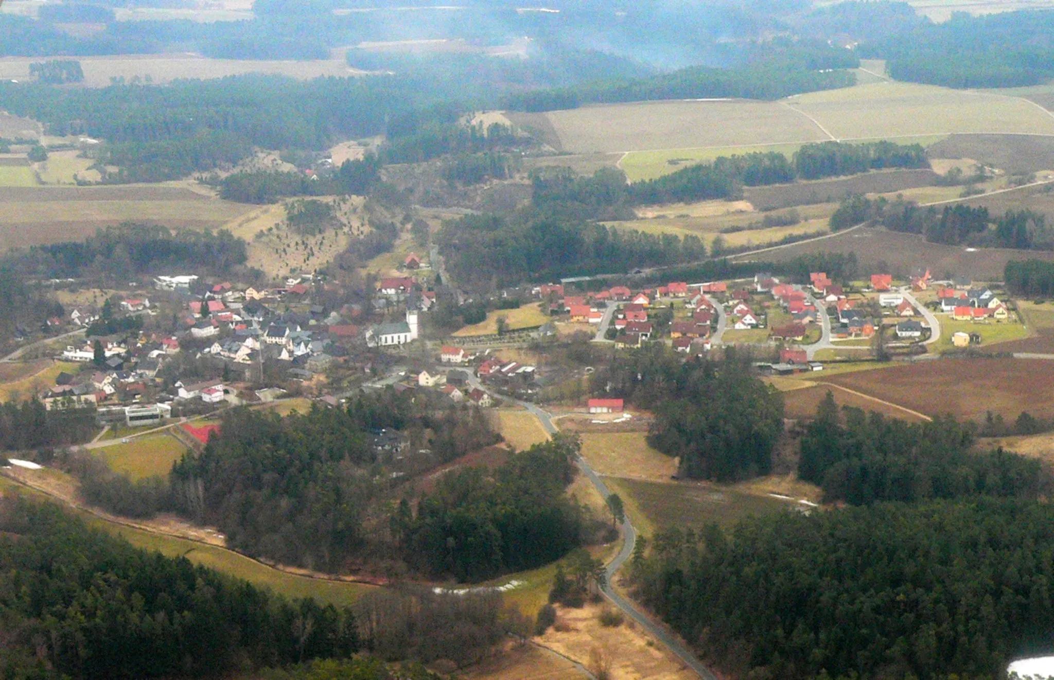
WonseesVillageAt 16 kilometers into the route, the village of Wonsees welcomes cyclists with its charming architecture and traditional Bavarian atmosphere.
31 km
31 km
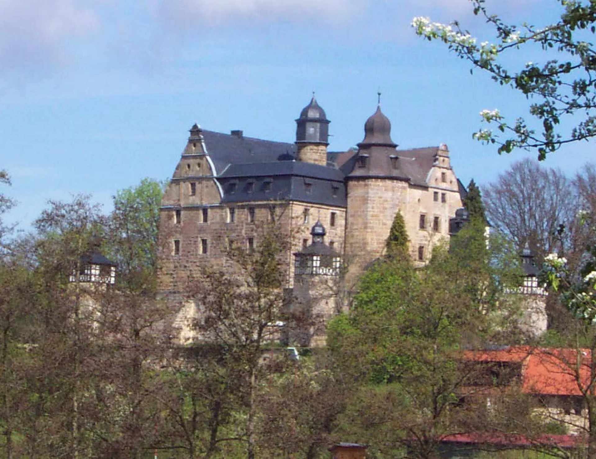
PlankenfelsVillagePlankenfels, located 31 kilometers along the route, is known for its impressive castle ruins and offers a glimpse into the area's rich history.
37 km
37 km
SchulsteinViewpointThe Schulstein, a massive rock formation located 37 kilometers into the route, is a unique geological feature and provides an interesting stop for nature enthusiasts.
46 km
46 km
Hohler Berg522 mPeakAt 46 kilometers, the Hohler Berg showcases the region's stunning landscapes with its panoramic viewpoints and serene surroundings.
57 km
57 km
EbermannstadtTownEbermannstadt, located at around 57 kilometers, is a charming town known for its timber-framed houses, inviting cafes, and beautiful architecture.
78 km
78 km
TeuchatzVillageTeuchatz, 78 kilometers into the route, is a peaceful village surrounded by picturesque countryside, offering a relaxing and idyllic break from the cycling challenge.
86 km
86 km
Hummelberg553 mPeakThe Hummelberg, at around 86 kilometers, rewards cyclists with unforgettable views from its summit and is an excellent place to soak in the beauty of the region.
99 km
99 km
WattendorfVillageLocated at 99 kilometers, Wattendorf is a picturesque village that enchants visitors with its well-preserved historical buildings and tranquil ambiance.
112 km
112 km
Kalkberg454 mPeak ViewpointThe Kalkberg, 112 kilometers into the route, is a limestone hill with a commanding presence, offering a unique and distinct natural feature in the area.
113 km
113 km
WeismainTownThe charming town of Weismain marks the start and end point of this route, serving as a base to explore the region's cycling opportunities and cultural attractions.
113 km
113 km
Finish: Weismain City centerWeismain: Cycling paradise in Oberfranken, Germany.
Cycling routes from Weismain:
Gravel Adventure through Scenic Terrain The Gravel Adventure Weismain to Giechkröttendorf Gravel Loop Weismain to Kalkberg Loop Weismain to Forchheim Circuit Weismain to Kalkberg Gravel Adventure Challenging Road Route with Scenic Highlights Weismain to Giechkröttendorf Gravel Adventure Road Adventure with Scenic Landscapes Scenic Road Route with Shorter Distance
Cycling routes nearby: