Rettenbach Loop
A road cycling route starting from Rettenbach
A scenic road cycling route through the picturesque region near Rettenbach.
Map
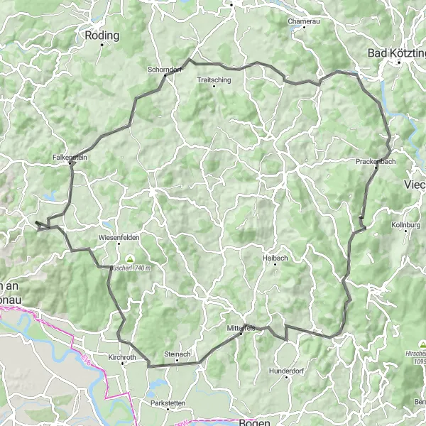
Explore the beautiful landscape of Rettenbach and its surroundings with this road cycling route. With a total distance of 103 kilometers and an ascent of 1763 meters, this route offers a challenging ride for well-trained amateurs. The route passes through various highlights, including Michelsneukirchen, Koppenberg, Tragelberg, Blaibach, Käsplatte, Klinglbach, Mitterfels, Teufelsfelsen, Neues Schloss Steinach, and Kobelberg.
road
103 km
1763 m
Tough
Route profile
Highlights on the route
0 km
0 km
Start: Brieberg Village centerRettenbach: Conquer the legendary Kemnather Berg climb in Rettenbach.
Rettenbach is a small town located in the Oberpfalz region of Germany. From a cyclist's point of view, Rettenbach offers beautiful rural roads and serene landscapes ideal for road and gravel cycling. The surrounding area features rolling hills and idyllic views, providing a rewarding and scenic cycling experience. Close to Rettenbach, cyclists can find the famous climb of Kemnather Berg, known for its challenging elevation profile. Rettenbach is a top destination for cyclists seeking thrilling rides and captivating scenery.14 km
14 km
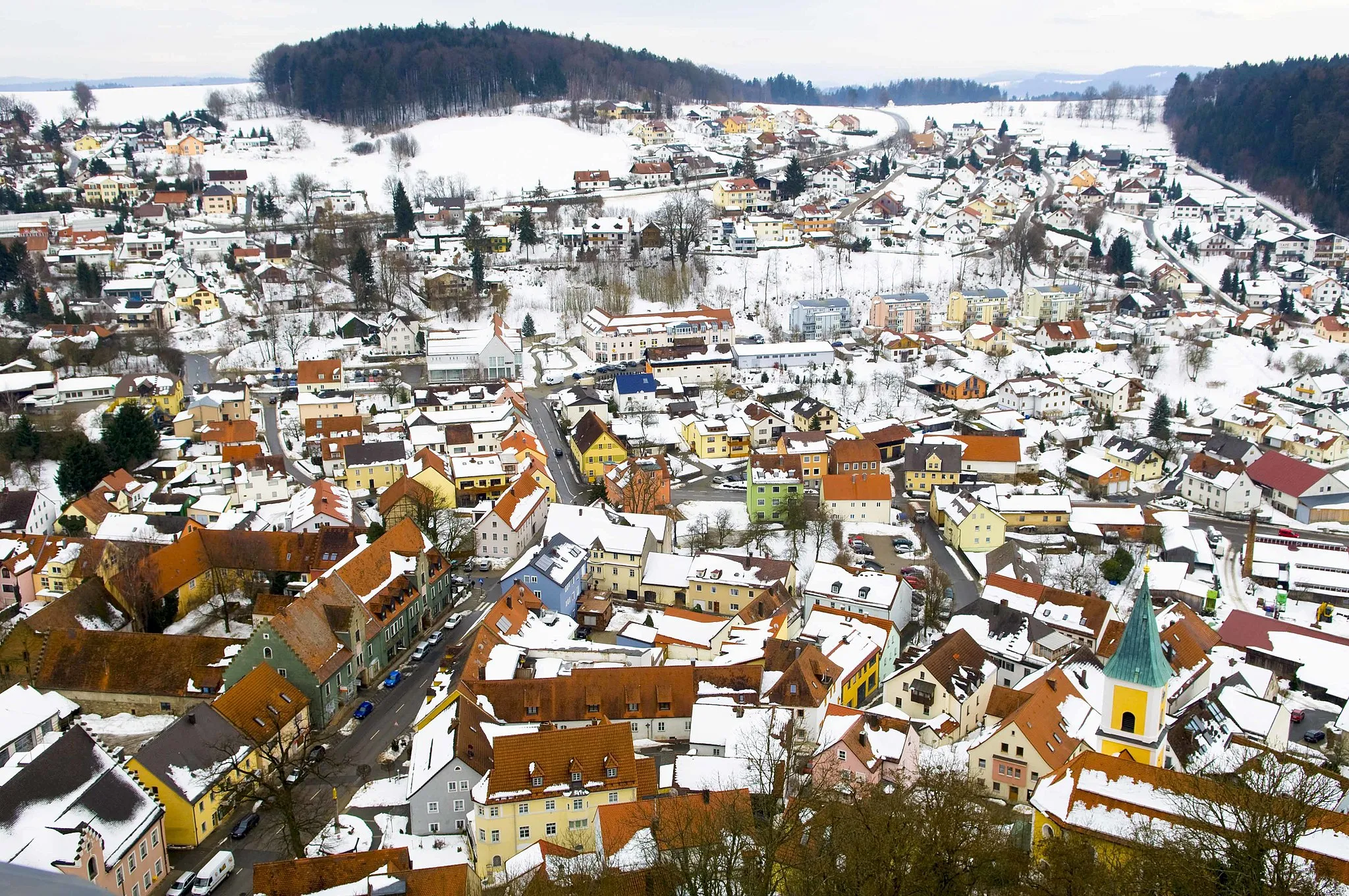
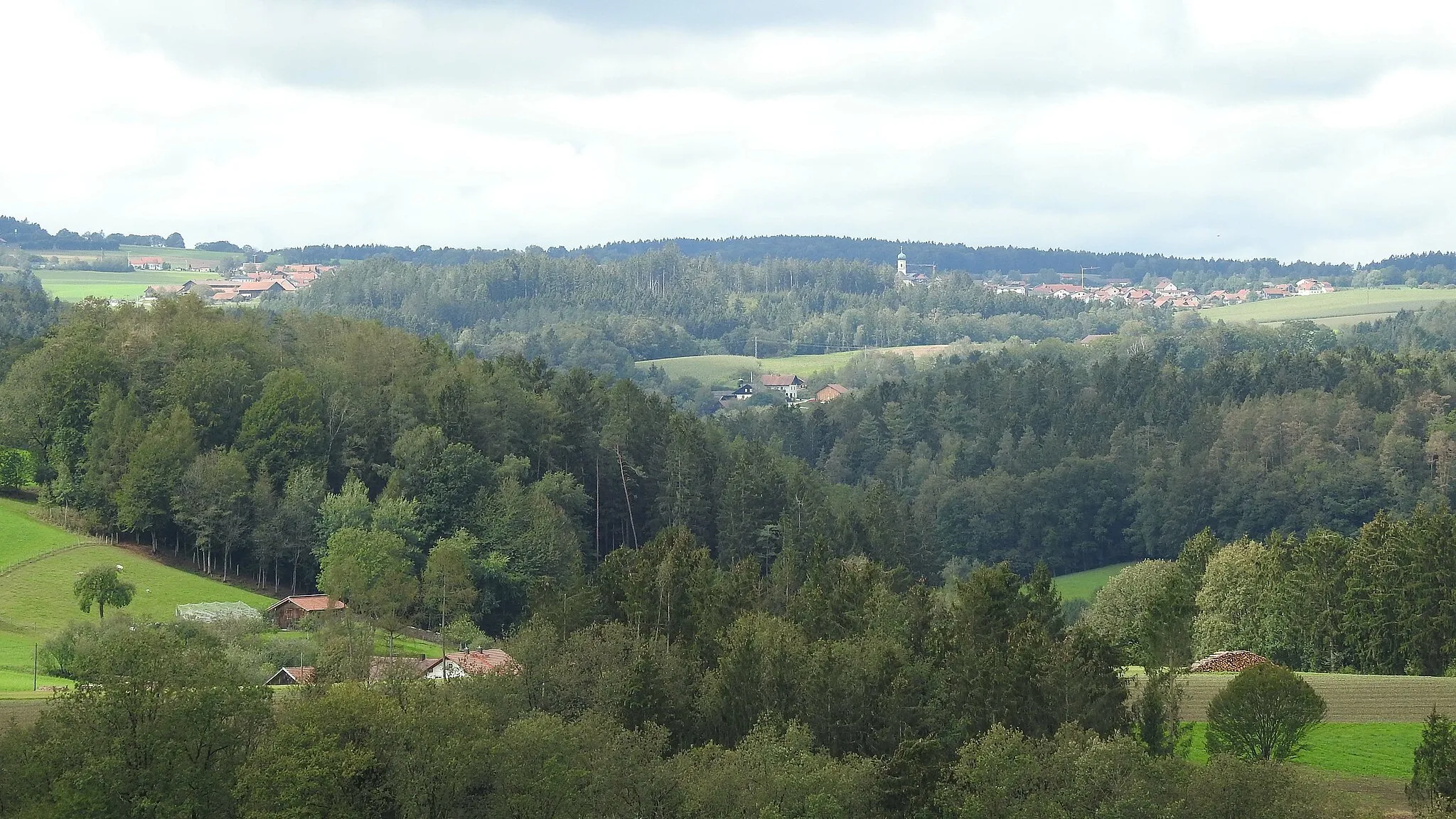
MichelsneukirchenVillageVisit the charming village of Michelsneukirchen, known for its traditional Bavarian architecture and cozy atmosphere.
17 km
17 km
Koppenberg553 mPeakClimb up the Koppenberg, a challenging uphill section that rewards you with breathtaking views of the surrounding countryside.
25 km
25 km
Tragelberg470 mPeakCycle through Tragelberg, a quaint village that offers a peaceful and serene atmosphere, surrounded by rolling hills.
38 km
38 km
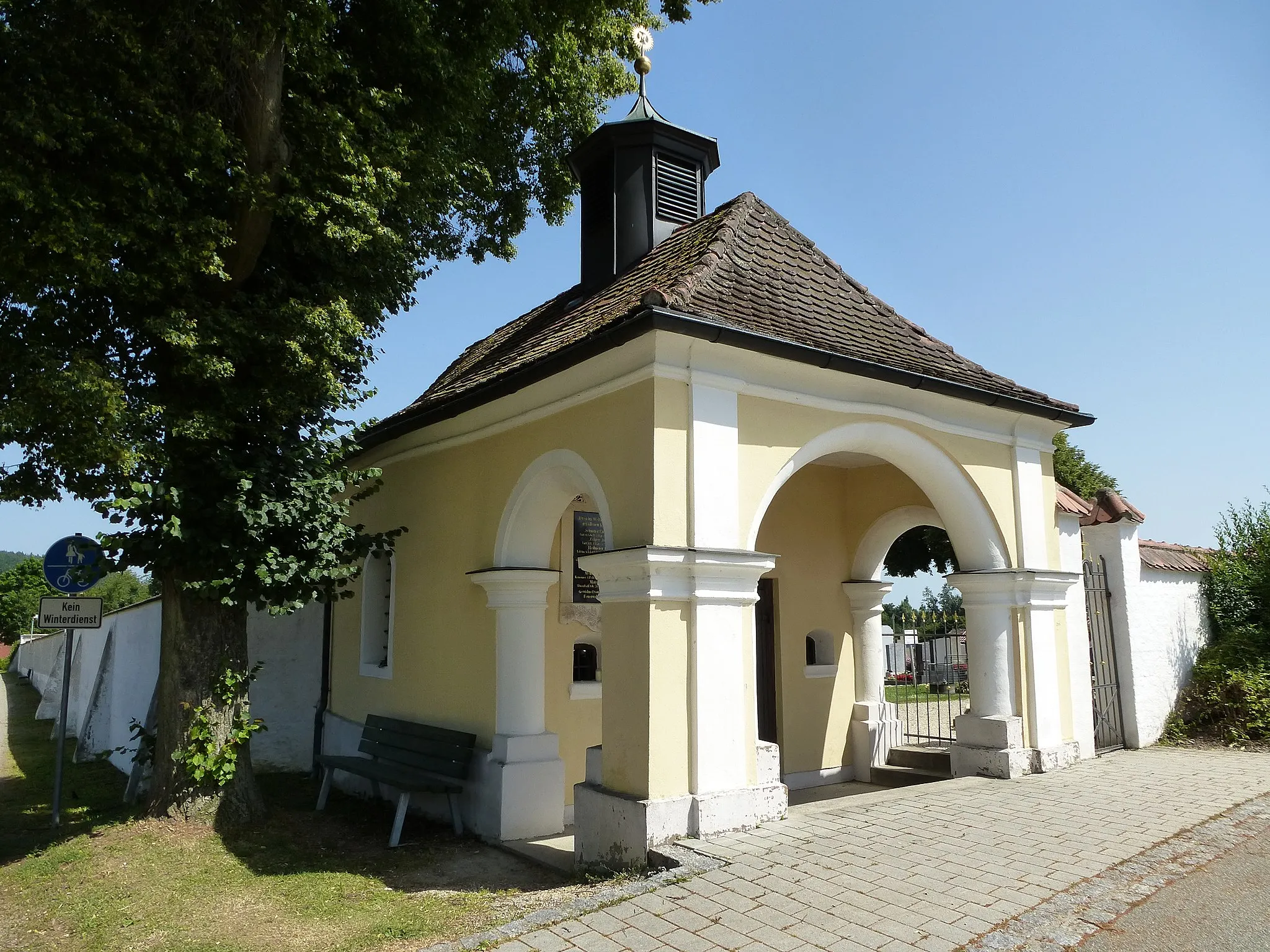
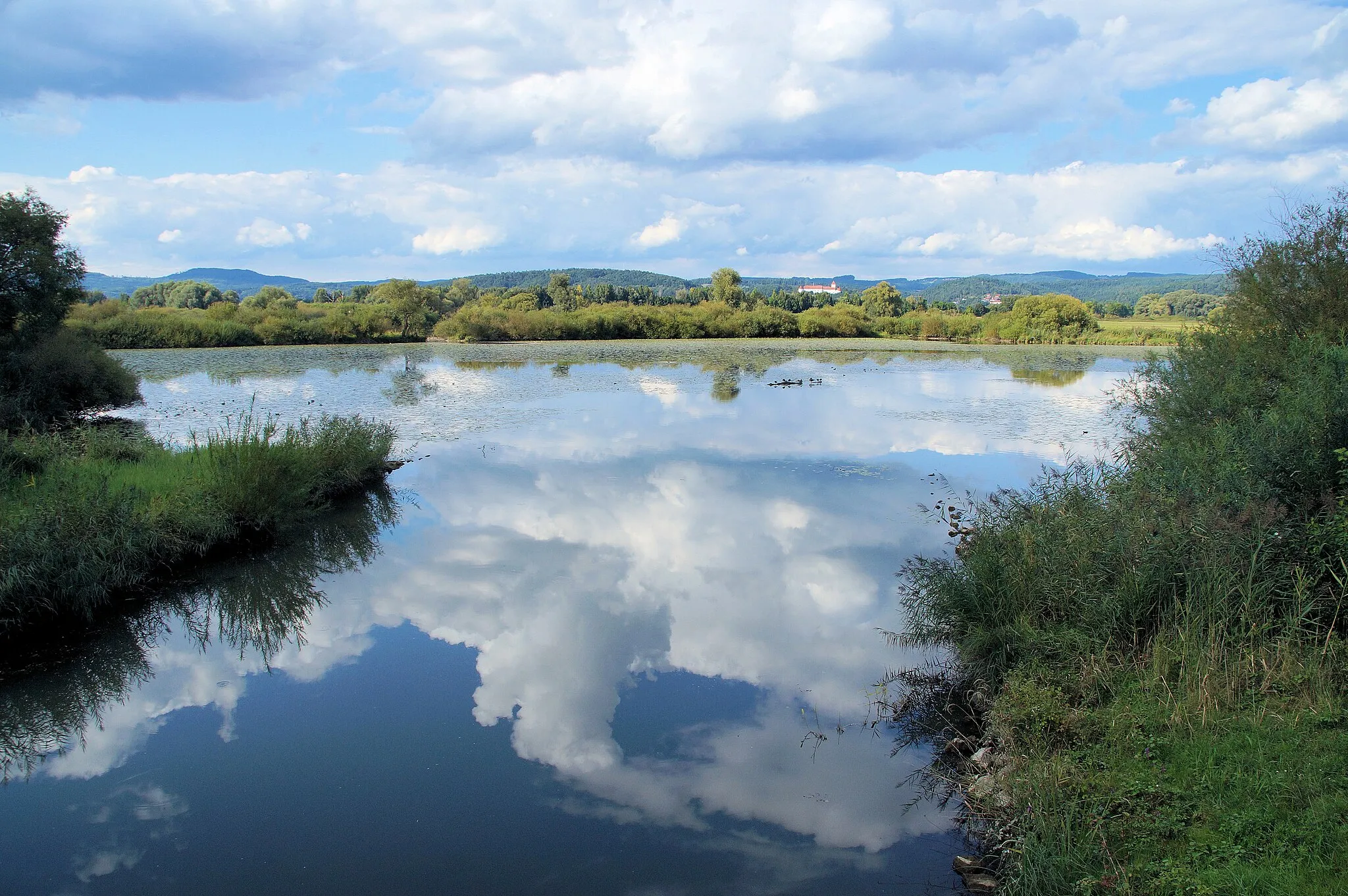
BlaibachVillagePass through Blaibach, a picturesque Bavarian town known for its stunning baroque church and charming historic center.
56 km
56 km
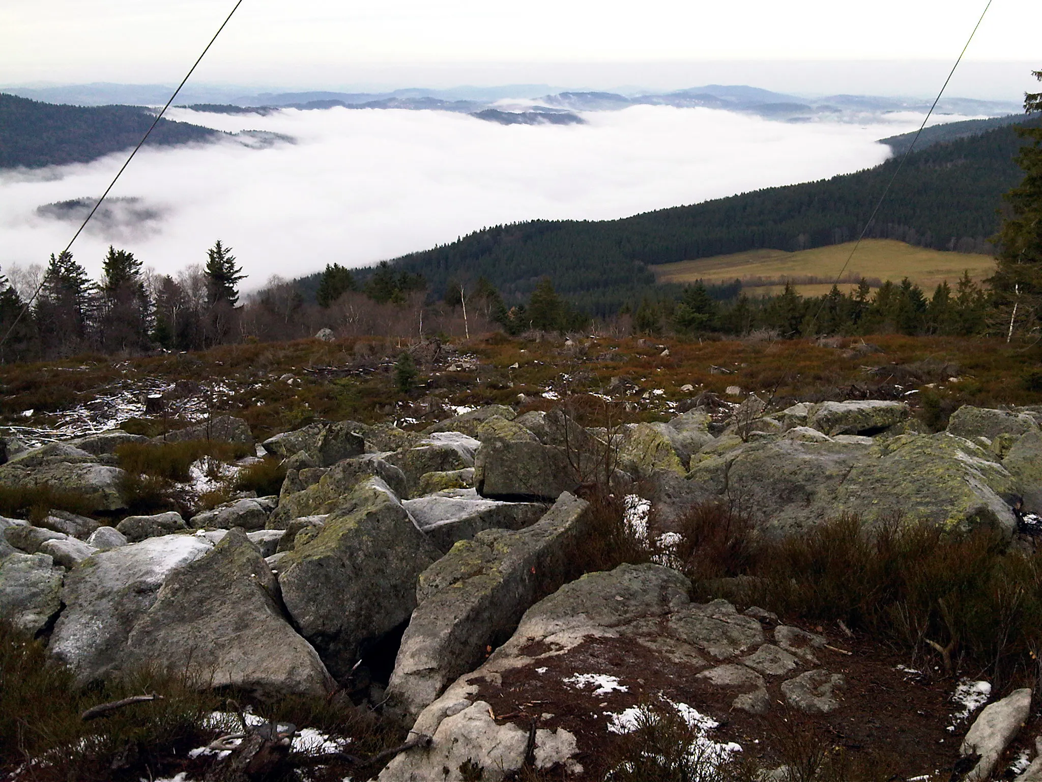
Käsplatte978 mPeakMarvel at the panoramic views from the top of Käsplatte, a hill with a viewpoint that overlooks the surrounding countryside.
58 km
58 km
KlinglbachVillageAdmire the beauty of Klinglbach, a small village nestled in the hills, surrounded by lush green meadows and picturesque farms.
75 km
75 km
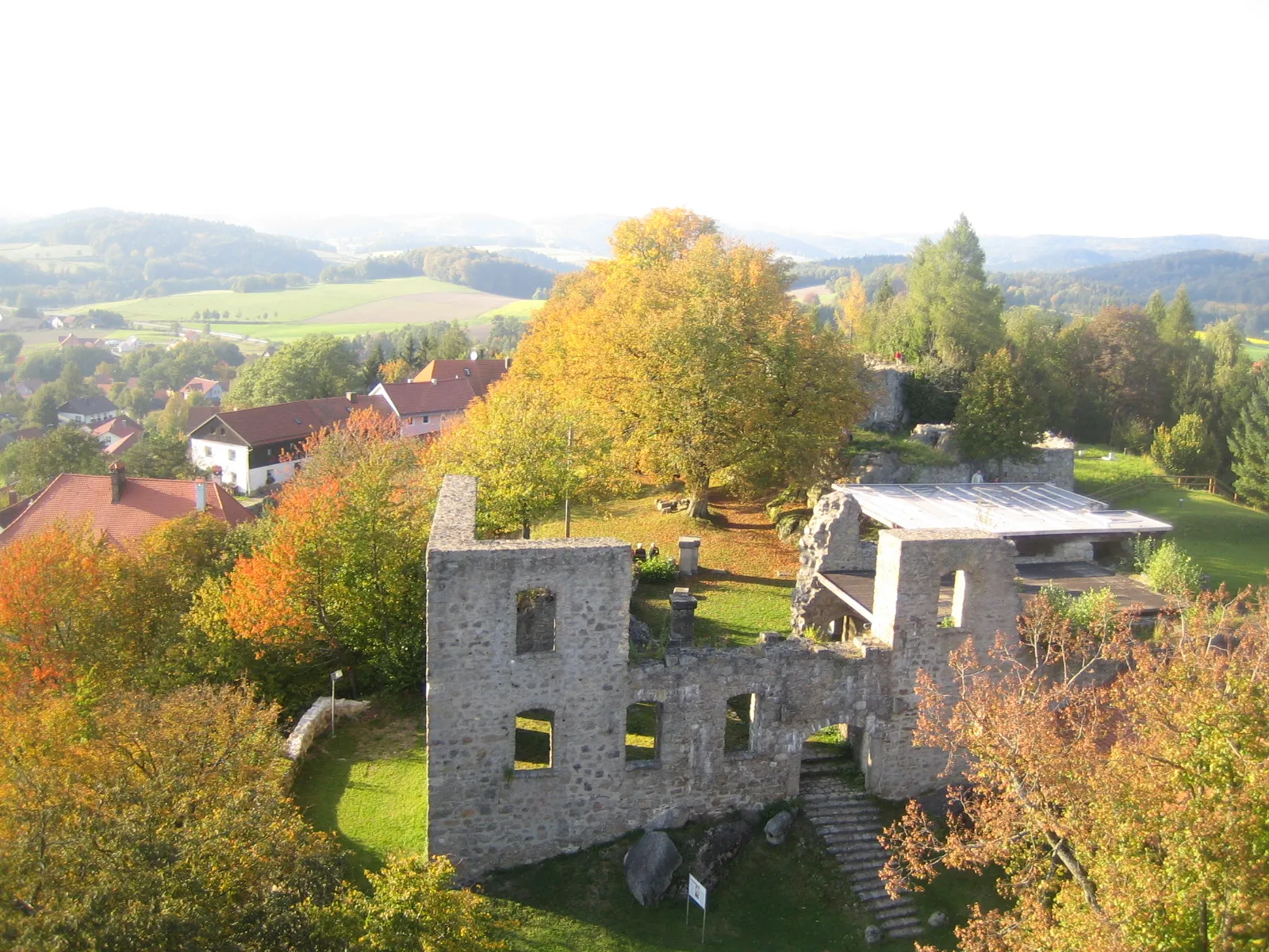
MitterfelsVillagePass by Mitterfels, a charming town with a medieval castle that offers a glimpse into the region's rich history.
75 km
75 km
Teufelsfelsen410 mPeakCycle past Teufelsfelsen, an impressive rock formation that is said to have been created by a legendary local devil.
83 km
83 km
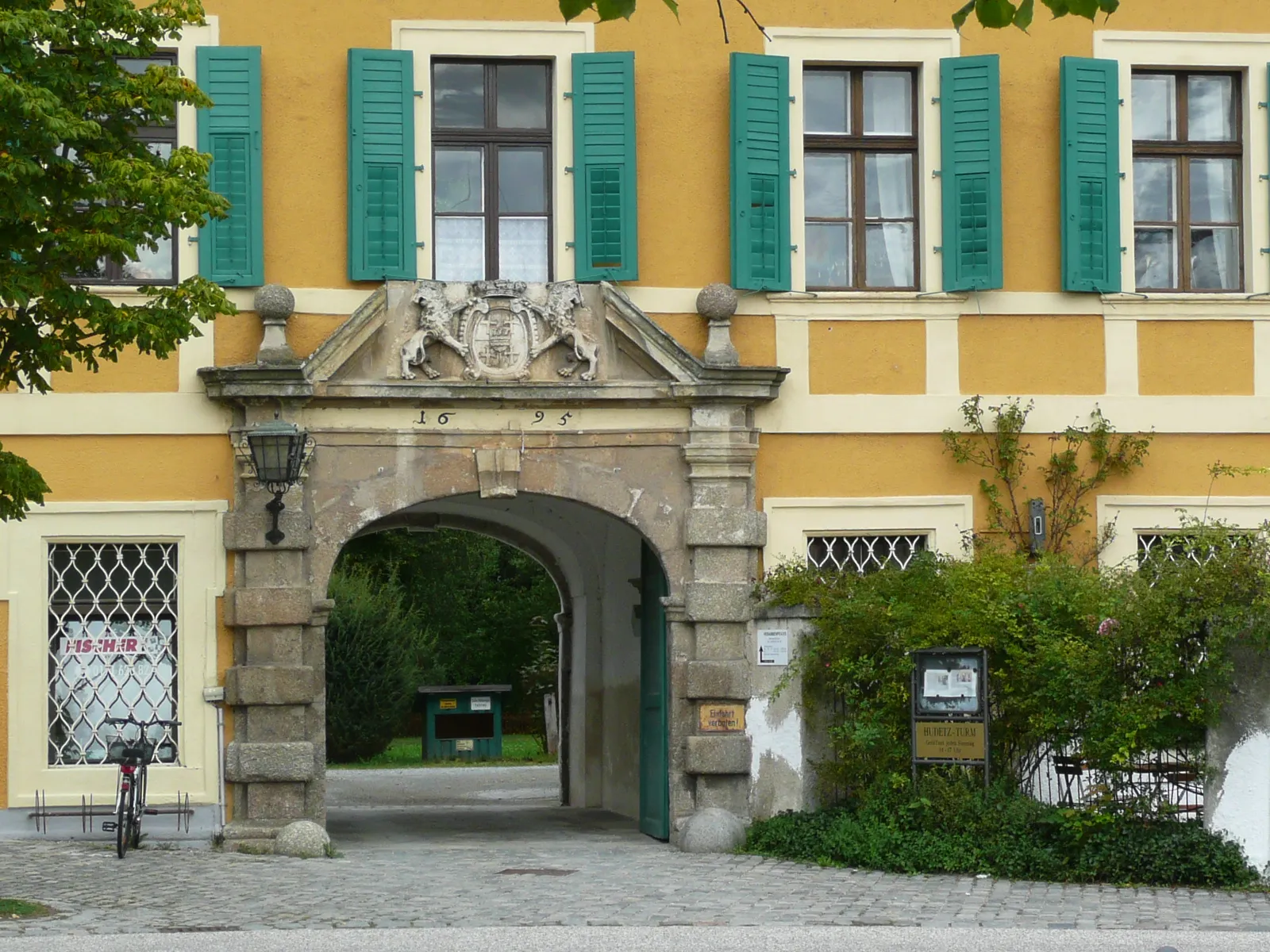
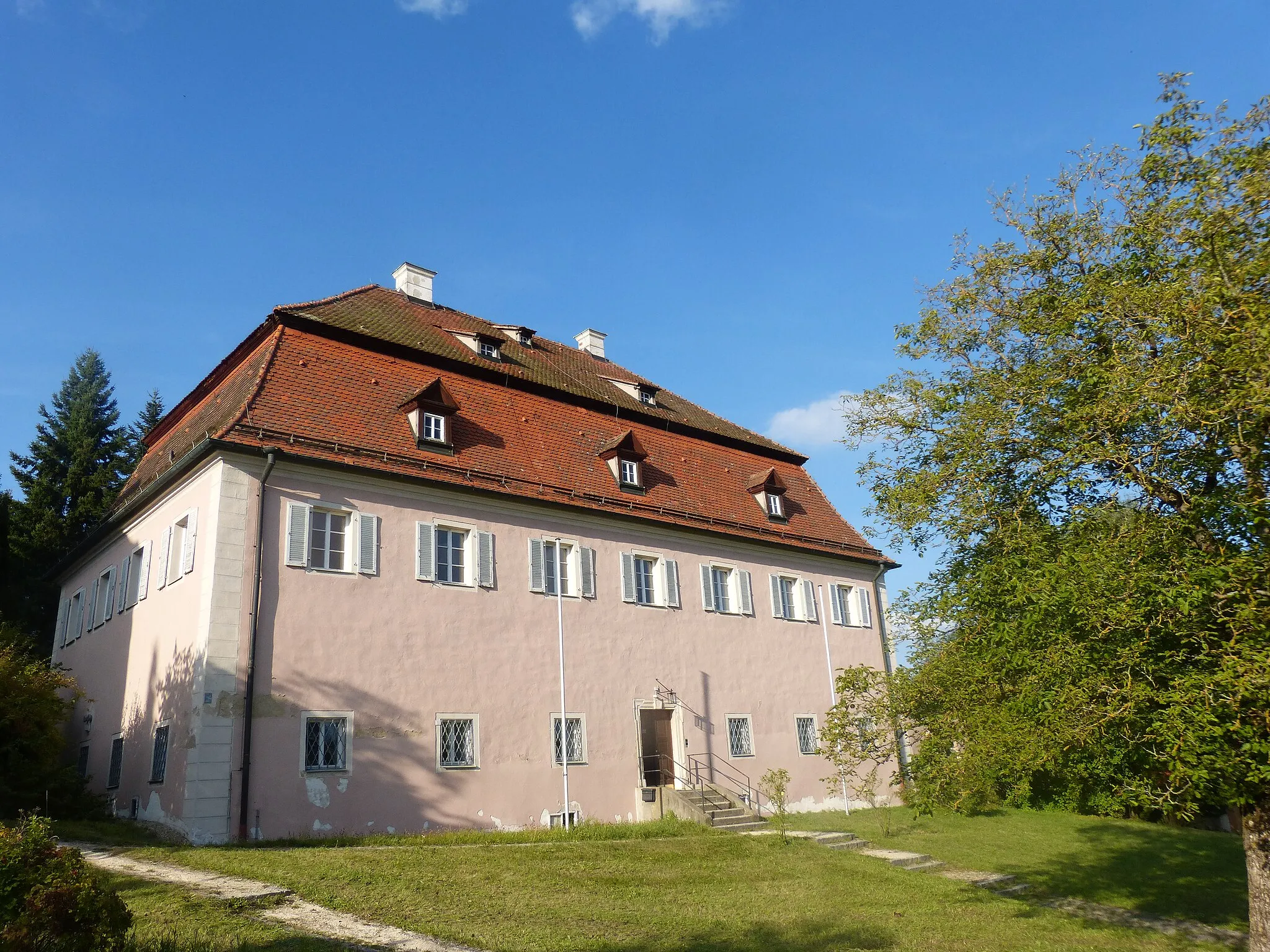
Neues Schloss SteinachCastleAdmire the architectural beauty of Neues Schloss Steinach, a historic castle surrounded by beautiful gardens.
95 km
95 km
Kobelberg703 mPeakPass by Kobelberg, a small hill with a viewpoint that offers panoramic views of the surrounding nature.
103 km
103 km
Finish: Brieberg Village centerRettenbach: Conquer the legendary Kemnather Berg climb in Rettenbach.
Cycling routes from Rettenbach:
Cycling routes nearby: