Rettenbach to Bach an der Donau Road Loop
A road cycling route starting from Rettenbach
Embark on a journey from Rettenbach to Bach an der Donau through stunning landscapes
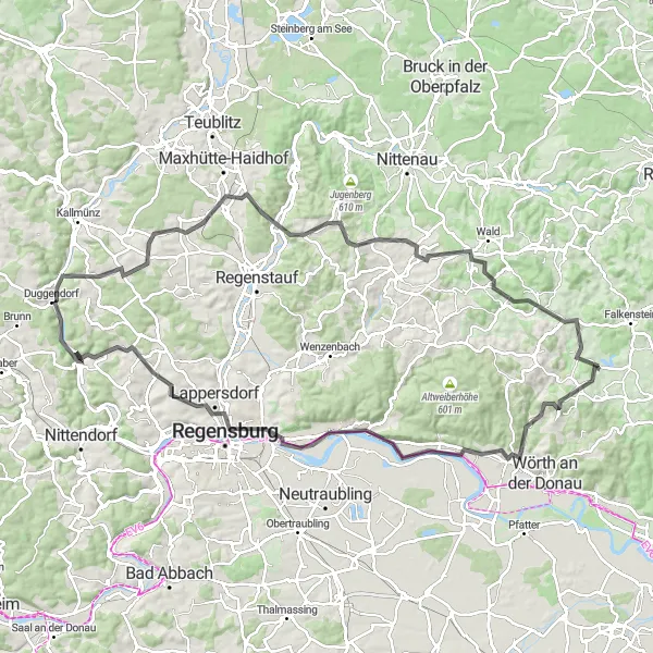
Map
This road cycling route offers a challenging ride through hilly terrain and scenic landscapes. With several moderate climbs, it is suitable for experienced cyclists who enjoy a good challenge. The highlight of the route is Bach an der Donau, a charming village known for its stunning location on the banks of River Danube. Take in the breathtaking views and soak up the peaceful atmosphere of this picturesque spot.
road
110 km
1273 m
Tough
Route profile
Highlights on the route
0 km
0 km
Start: Rettenbach Village centerRettenbach: Conquer the legendary Kemnather Berg climb in Rettenbach.
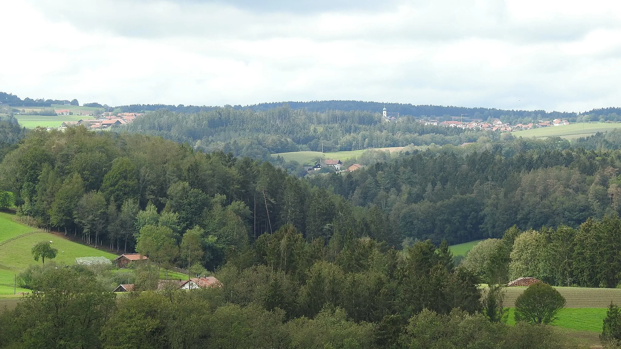
Rettenbach is a small town located in the Oberpfalz region of Germany. From a cyclist's point of view, Rettenbach offers beautiful rural roads and serene landscapes ideal for road and gravel cycling. The surrounding area features rolling hills and idyllic views, providing a rewarding and scenic cycling experience. Close to Rettenbach, cyclists can find the famous climb of Kemnather Berg, known for its challenging elevation profile. Rettenbach is a top destination for cyclists seeking thrilling rides and captivating scenery.17 km
17 km
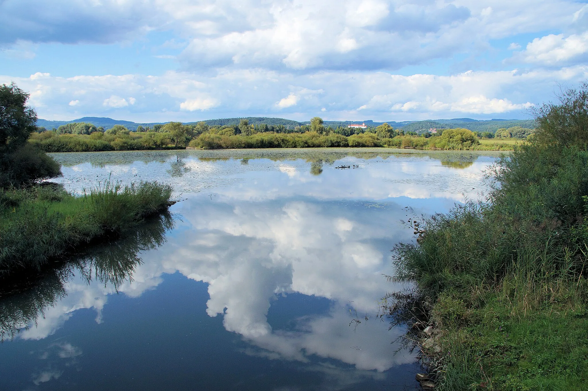
Bach an der DonauVillageBach an der Donau is a hidden gem with its stunning river views and idyllic setting. Enjoy a refreshing break by the riverbank or explore the village's historic sites.
28 km
28 km
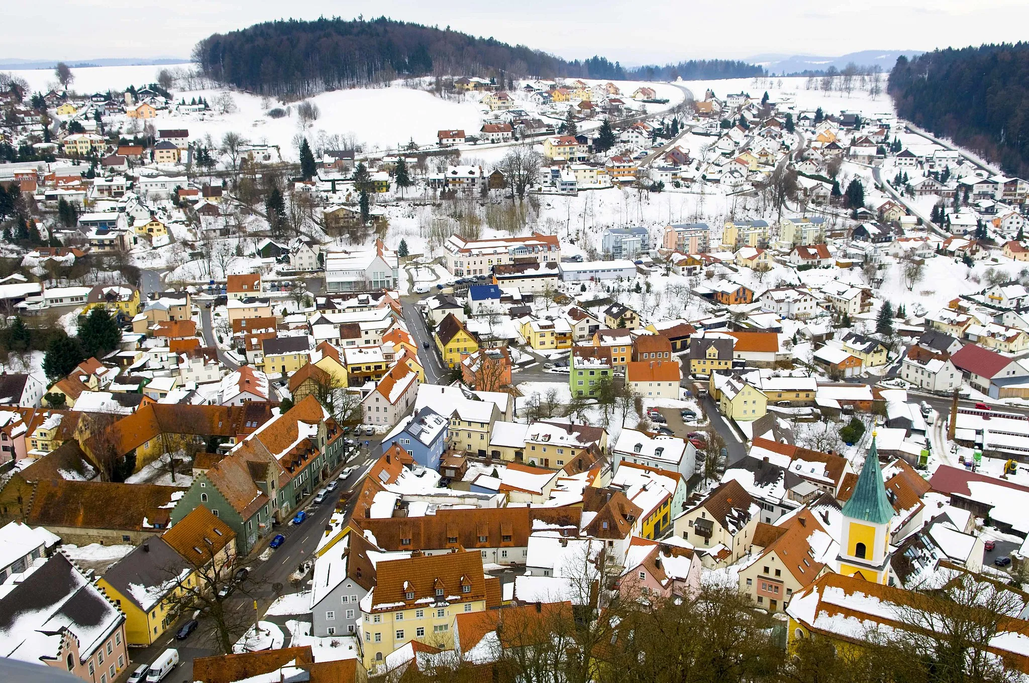
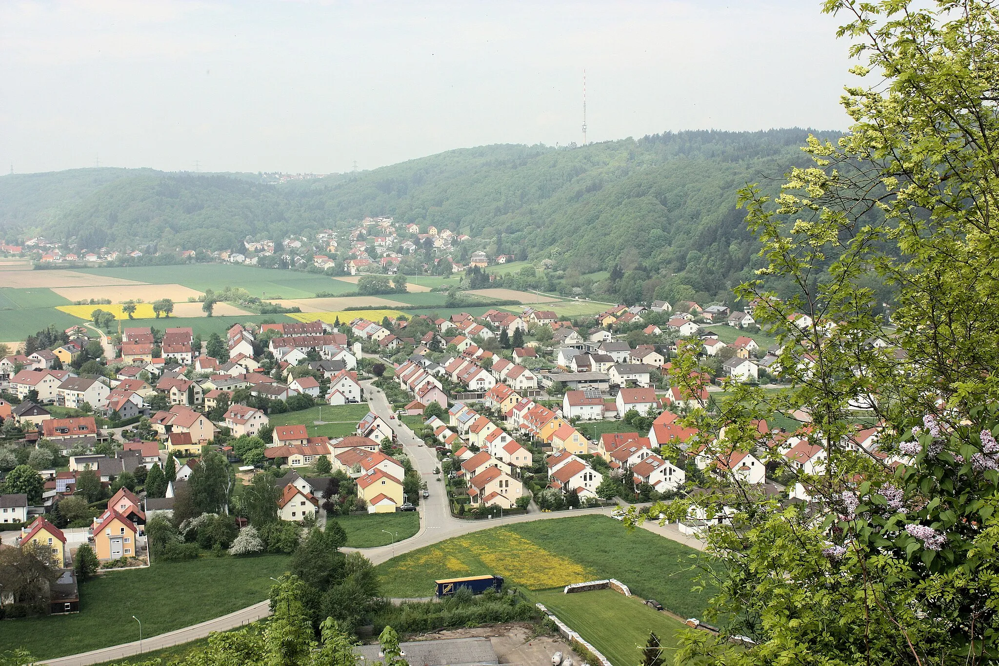
TegernheimVillageTegernheim is a vibrant town with a variety of restaurants and shops. Take a break and savor the local cuisine or explore the town's cultural attractions.
30 km
30 km
Keilstein450 mPeakKeilstein offers a challenging climb with rewarding views at the top. Test your climbing skills and enjoy the panoramic vistas of the surrounding countryside.
50 km
50 km
PielenhofenVillagePielenhofen is a picturesque village with its impressive Pielenhofen Abbey. Marvel at the architectural beauty and take a walk along the peaceful riverside.
74 km
74 km
Mühlberg415 mPeakMühlberg is a tranquil spot nestled in nature. Take a break and appreciate the serenity of the countryside and the gentle murmur of the river.
75 km
75 km
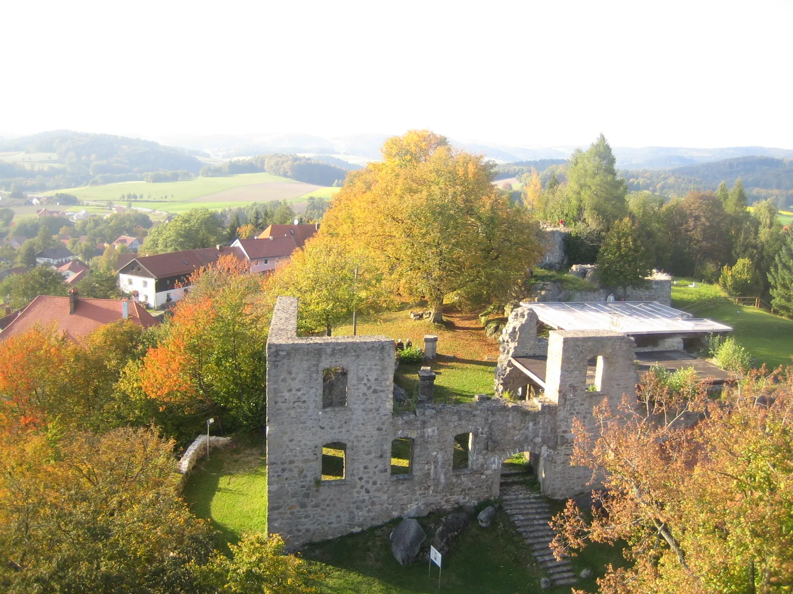
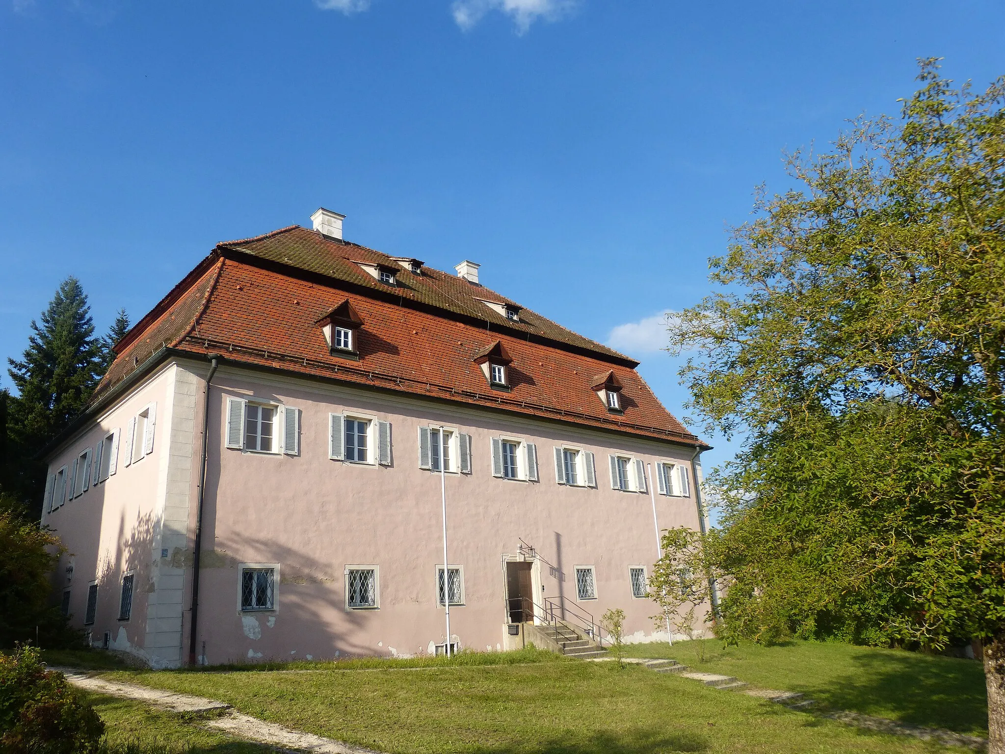
Altes SchloßCastleAltes Schloß is a historic castle that reflects the rich heritage of the region. Explore the castle grounds and learn about its fascinating history.
90 km
90 km
LambertsneukirchenVillageLambertsneukirchen is a small village with little to offer in terms of attractions or amenities. While passing through, take in the rural landscapes and continue your ride.
97 km
97 km
Grubberg583 mPeakGrubberg is a peaceful village with beautiful scenery and friendly locals. Experience the tranquility and soak up the natural beauty of the surroundings.
105 km
105 km
GfällVillageGfäll is a quaint village known for its charming architecture and scenic landscapes. Enjoy a leisurely break and appreciate the peacefulness of the countryside.
107 km
107 km
Naturschutzgebiet HölleViewpointNaturschutzgebiet Hölle is a nature reserve with diverse flora and fauna. Take a moment to explore the trails and enjoy the beauty of this protected area.
110 km
110 km
Finish: Rettenbach Village centerRettenbach: Conquer the legendary Kemnather Berg climb in Rettenbach.
Cycling routes from Rettenbach:
Cycling routes nearby: