![Cover image](https://images.tarmacs.app/cycling-routes/photos/germany/oberpfalz/3403830010/marienstein-2.webp)
Brennberg Trail
A road cycling route starting from Rettenbach
Get ready to explore the stunning landscapes of Oberpfalz on the Brennberg Trail.
![Map miniature of "Brennberg Trail" cycling inspiration in Oberpfalz, Germany. Generated by Tarmacs.app cycling route planner](https://images.tarmacs.app/cycling-routes/routemaps/600/germany/oberpfalz/rettenbach/road/73963.webp)
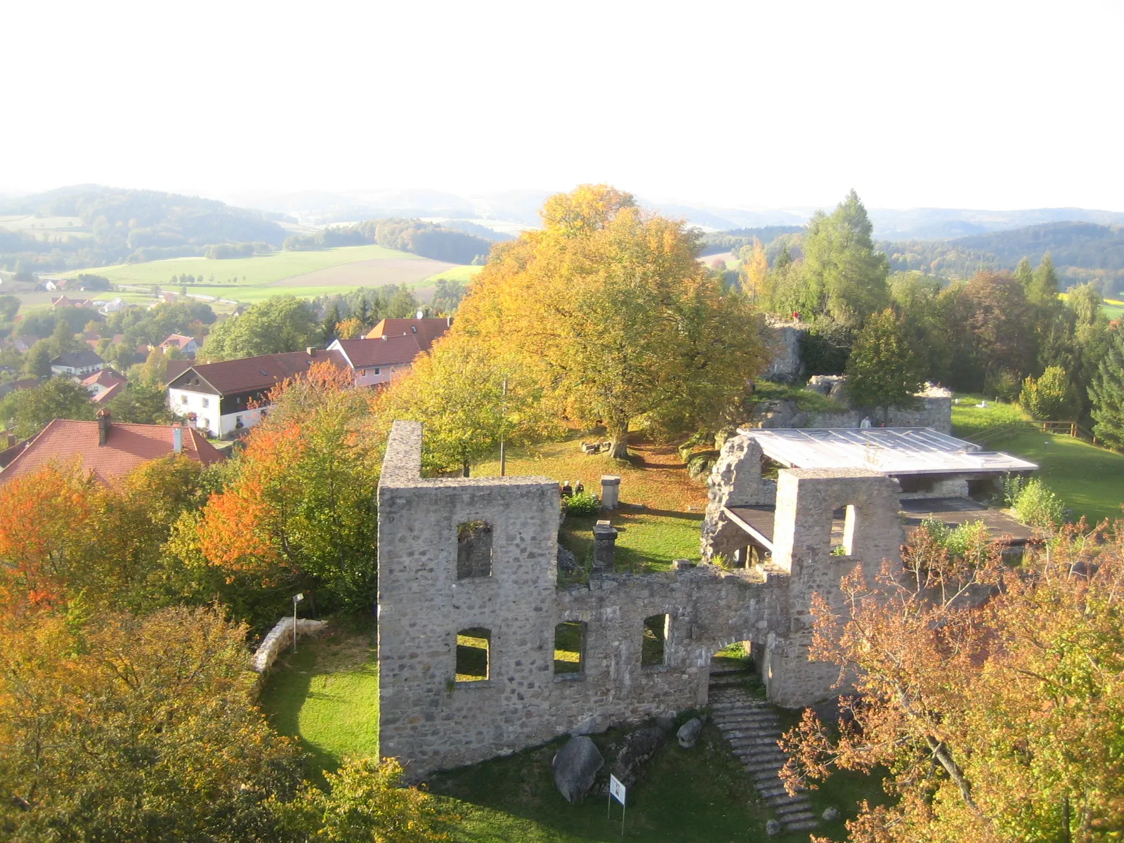
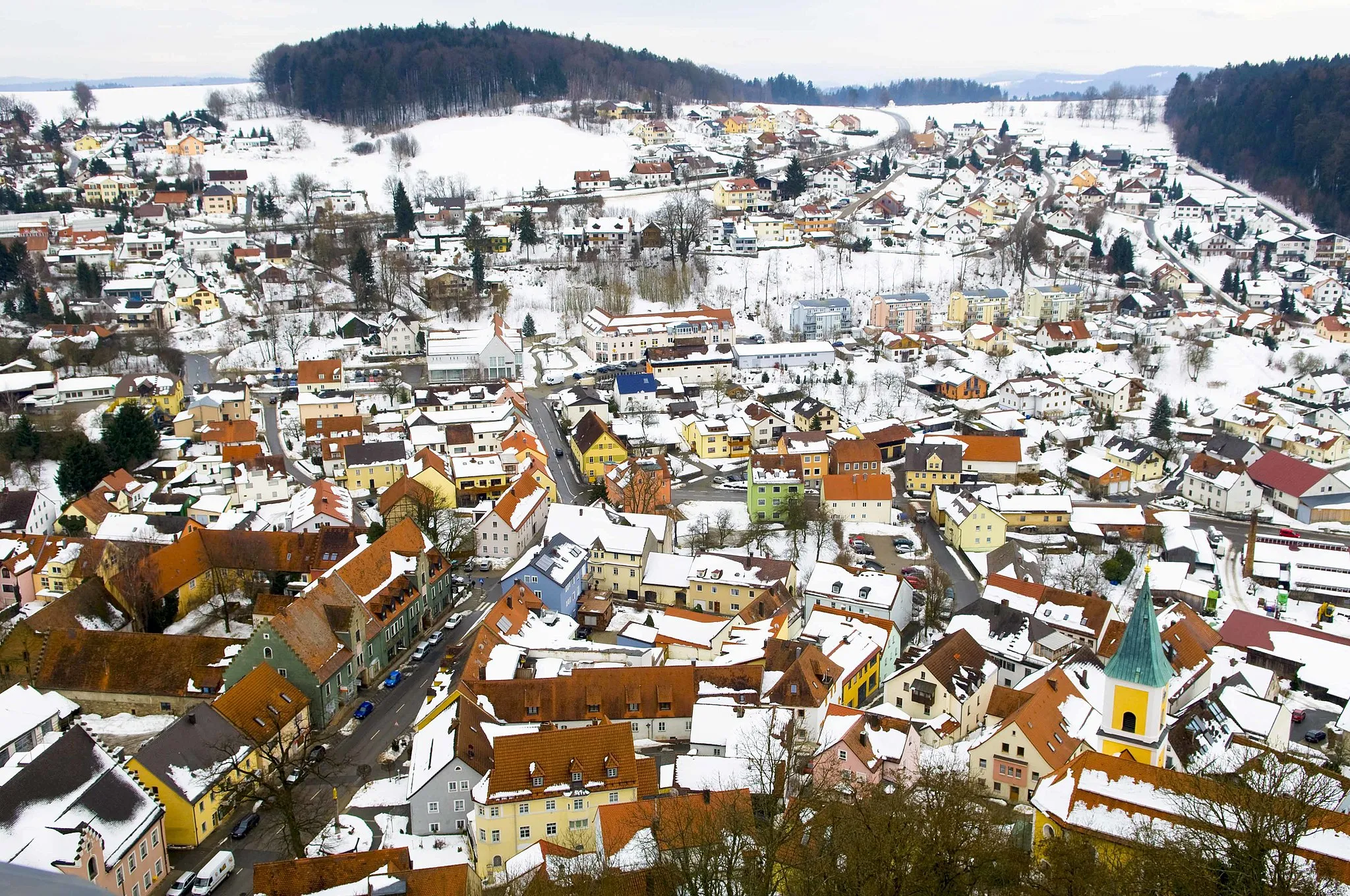
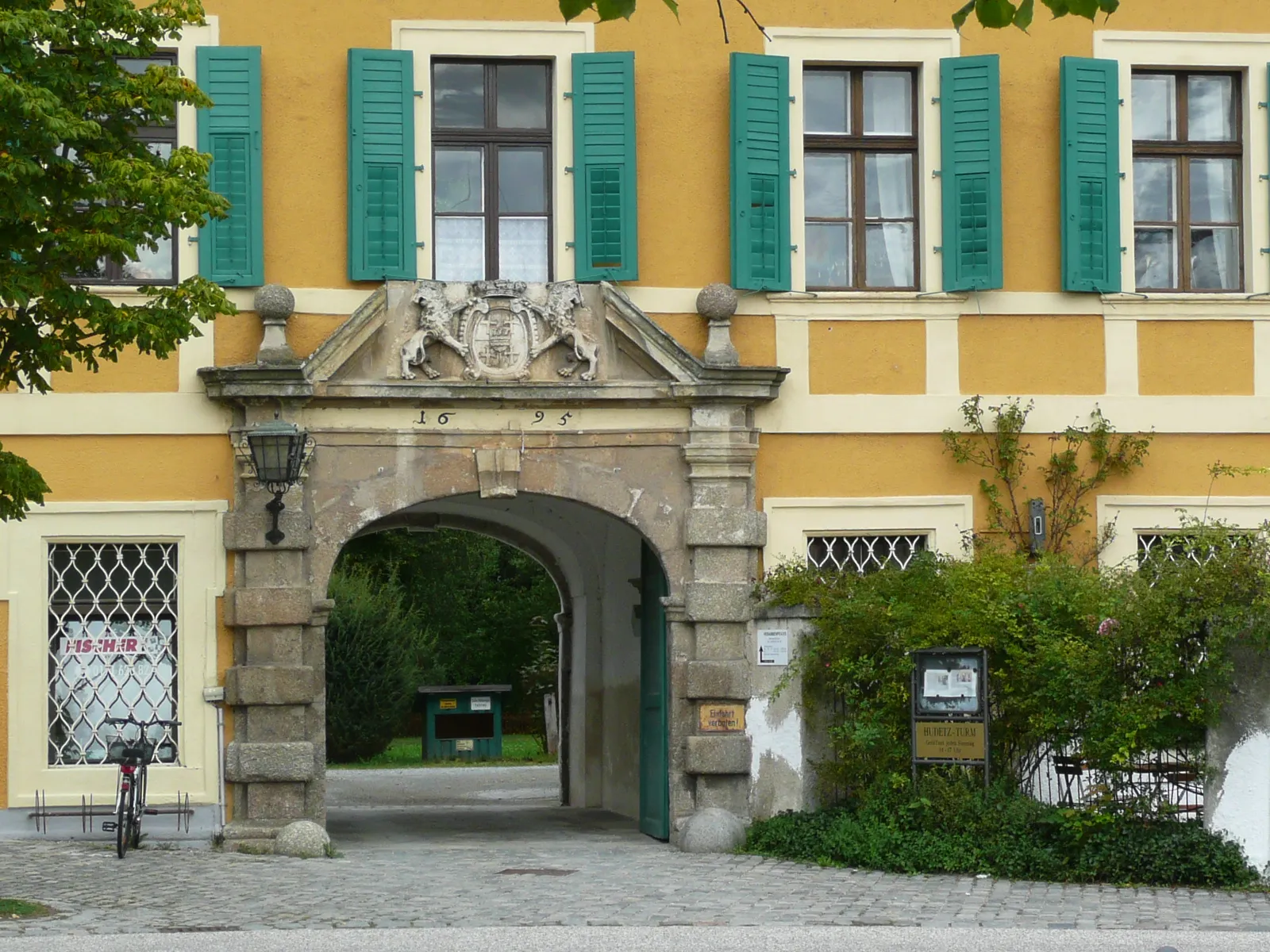
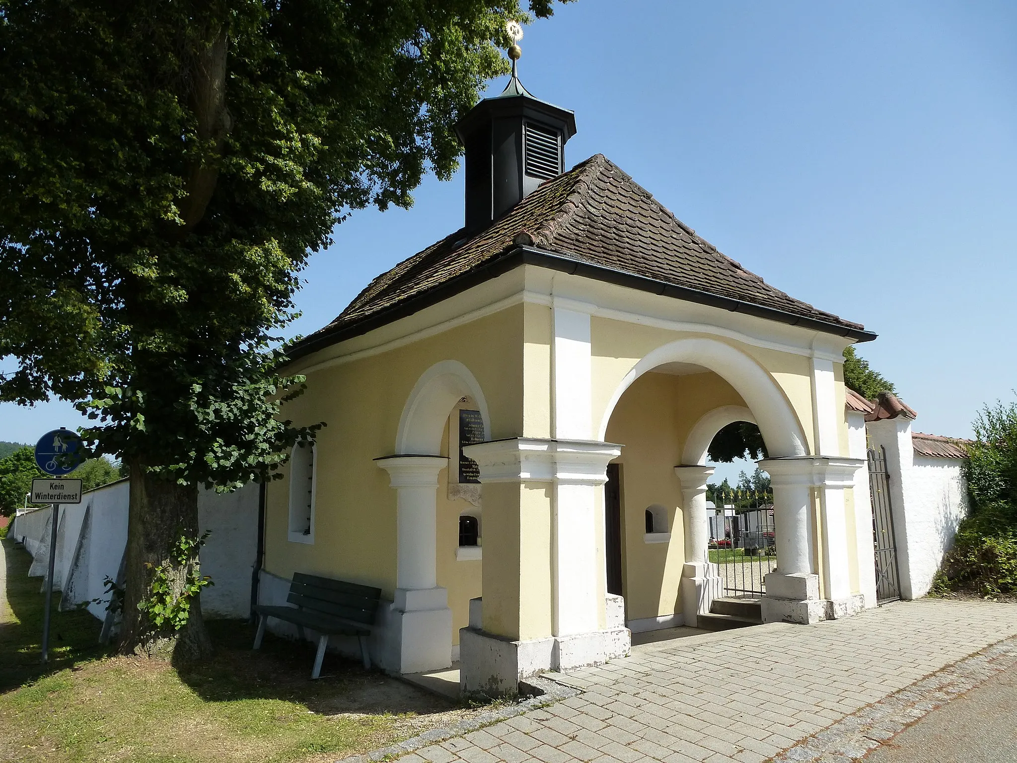
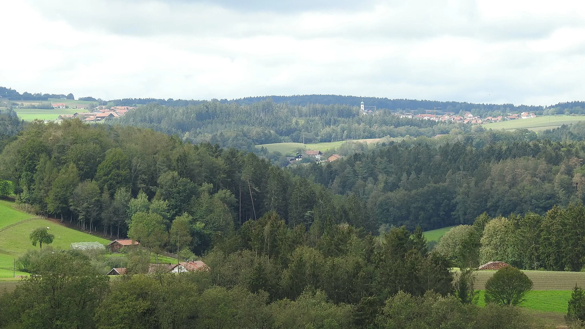
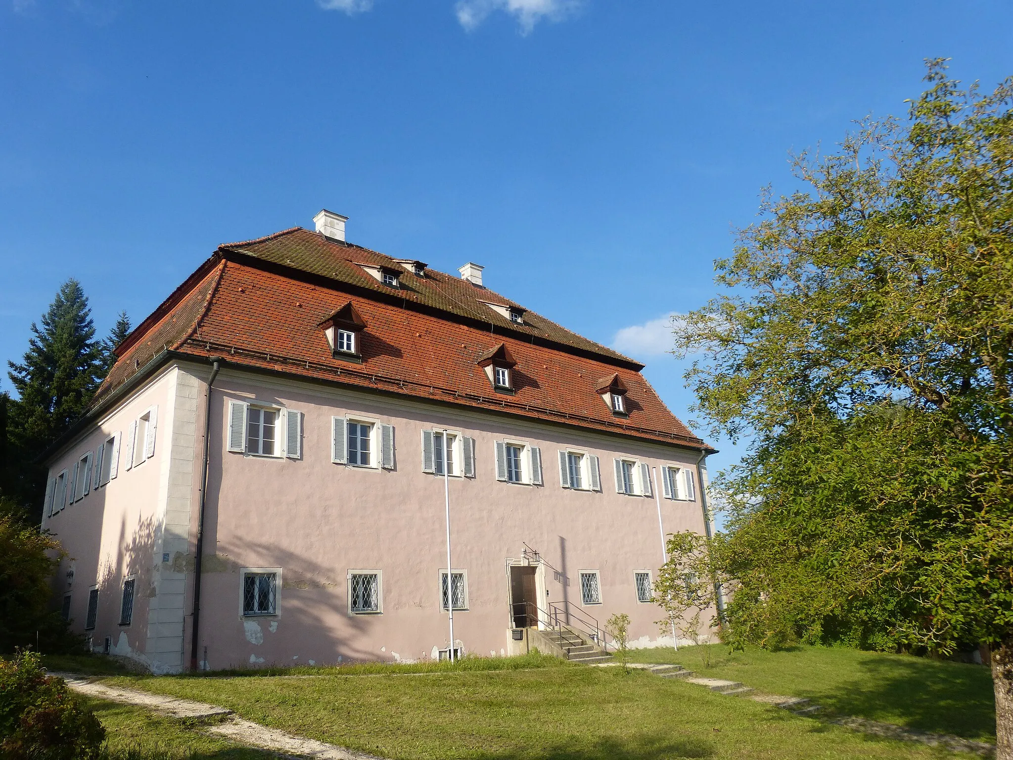
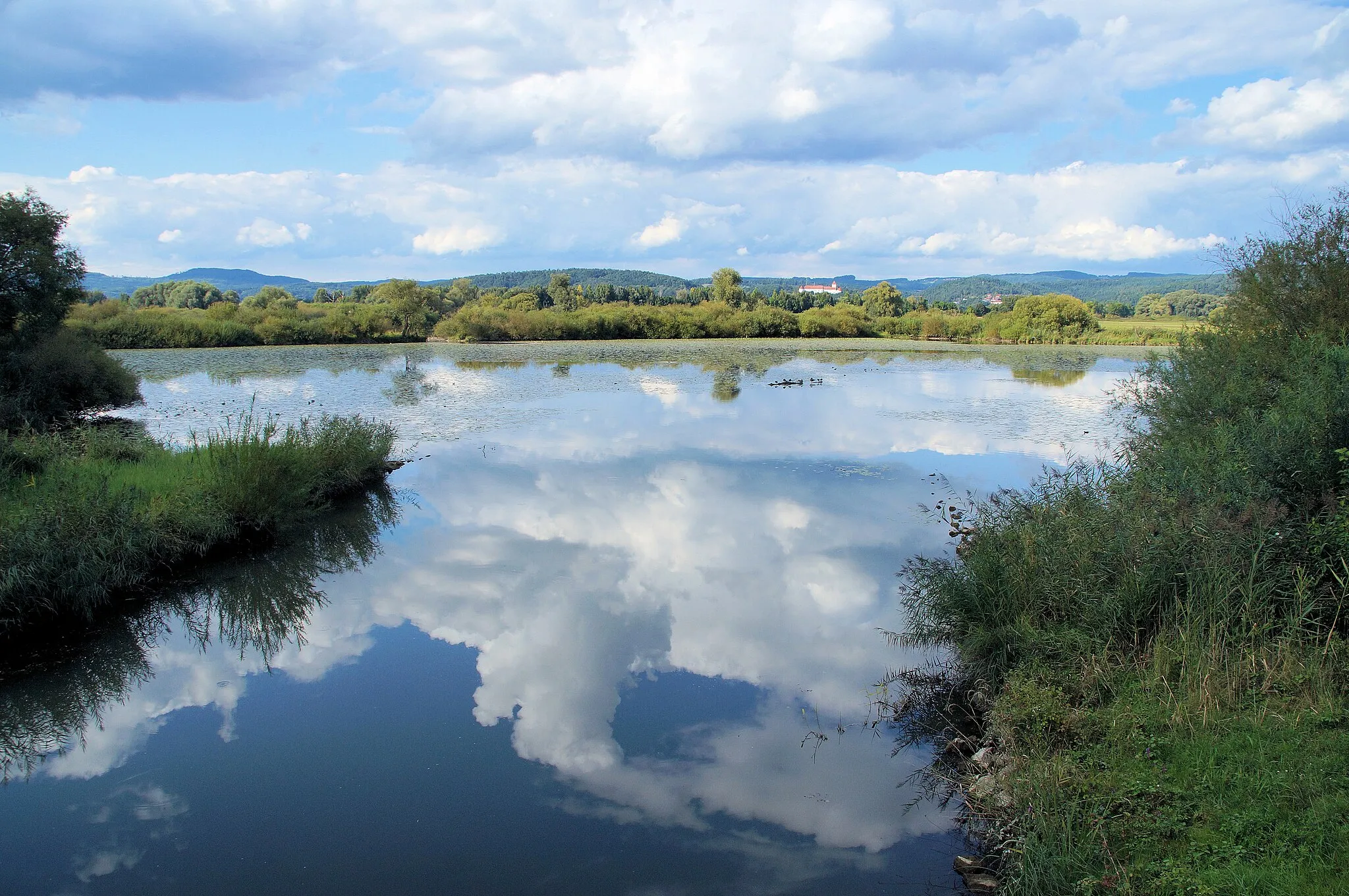
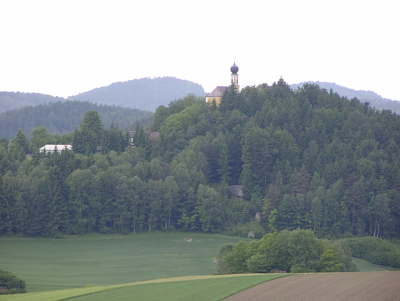
The Brennberg Trail is a scenic road cycling route in Oberpfalz that combines breathtaking landscapes with challenging climbs. Clocking in at 95 km and featuring an ascent of 1,450 meters, this route is suitable for experienced cyclists. Along the way, you'll pass through the Naturschutzgebiet Hölle, a protected nature reserve known for its diverse wildlife and beautiful scenery. Brennberg itself is a highlight of the route, with its historic buildings and stunning views over the surrounding countryside. Bodenstein and Eichelberg offer more opportunities to enjoy the region's natural beauty, with peaceful surroundings and picturesque landscapes. Pissau and Hammerbühl are two more highlights worth exploring, each offering unique attractions and stunning vistas. Ehem. Schloss Strahlfeld, Marienstein, and Lauberberg are three additional highlights that shouldn't be missed.
Highlights on the route
Cycling routes from Rettenbach:
Cycling routes nearby:
![Image of Brennberg](https://images.tarmacs.app/cycling-routes/covers/germany/oberpfalz/brennberg-4.webp)
![Image of Falkenstein](https://images.tarmacs.app/cycling-routes/covers/germany/oberpfalz/falkenstein-4.webp)
![Image of Wiesenfelden](https://images.tarmacs.app/cycling-routes/covers/germany/niederbayern/wiesenfelden-5.webp)
![Image of Wiesent](https://images.tarmacs.app/cycling-routes/covers/germany/oberpfalz/wiesent-3.webp)
![Image of Wörth an der Donau](https://images.tarmacs.app/cycling-routes/covers/germany/oberpfalz/worth-an-der-donau-3.webp)
![Image of Michelsneukirchen](https://images.tarmacs.app/cycling-routes/covers/germany/oberpfalz/michelsneukirchen-5.webp)
![Image of Altenthann](https://images.tarmacs.app/cycling-routes/covers/germany/oberpfalz/altenthann-5.webp)
![Image of Wald](https://images.tarmacs.app/cycling-routes/covers/germany/oberpfalz/wald-5.webp)
![Image of Pfatter](https://images.tarmacs.app/cycling-routes/covers/germany/oberpfalz/pfatter-5.webp)