Bosenberg and Reckelberg Gravel Adventure
A gravel cycling route starting from Ottweiler
An exciting gravel adventure to the Bosenberg and Reckelberg
Map
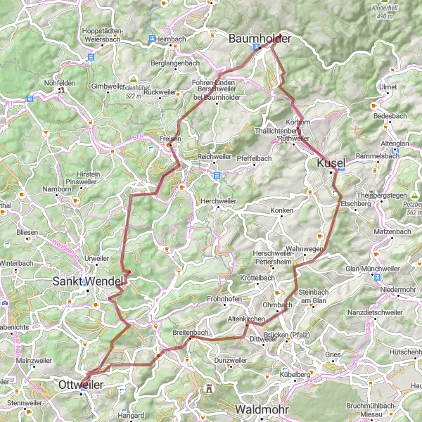
This challenging gravel route takes you through the hilly landscapes near Ottweiler, Saarland. With a total ascent of 1612 meters over 80 kilometers, this route is perfect for experienced gravel riders looking for a tough challenge. The highlights of this route include the Bosenberg and Reckelberg, which offer stunning views of the surrounding countryside. Get ready for a thrilling and rewarding ride!
gravel
80 km
1612 m
Tough
Route profile
Highlights on the route
0 km
0 km
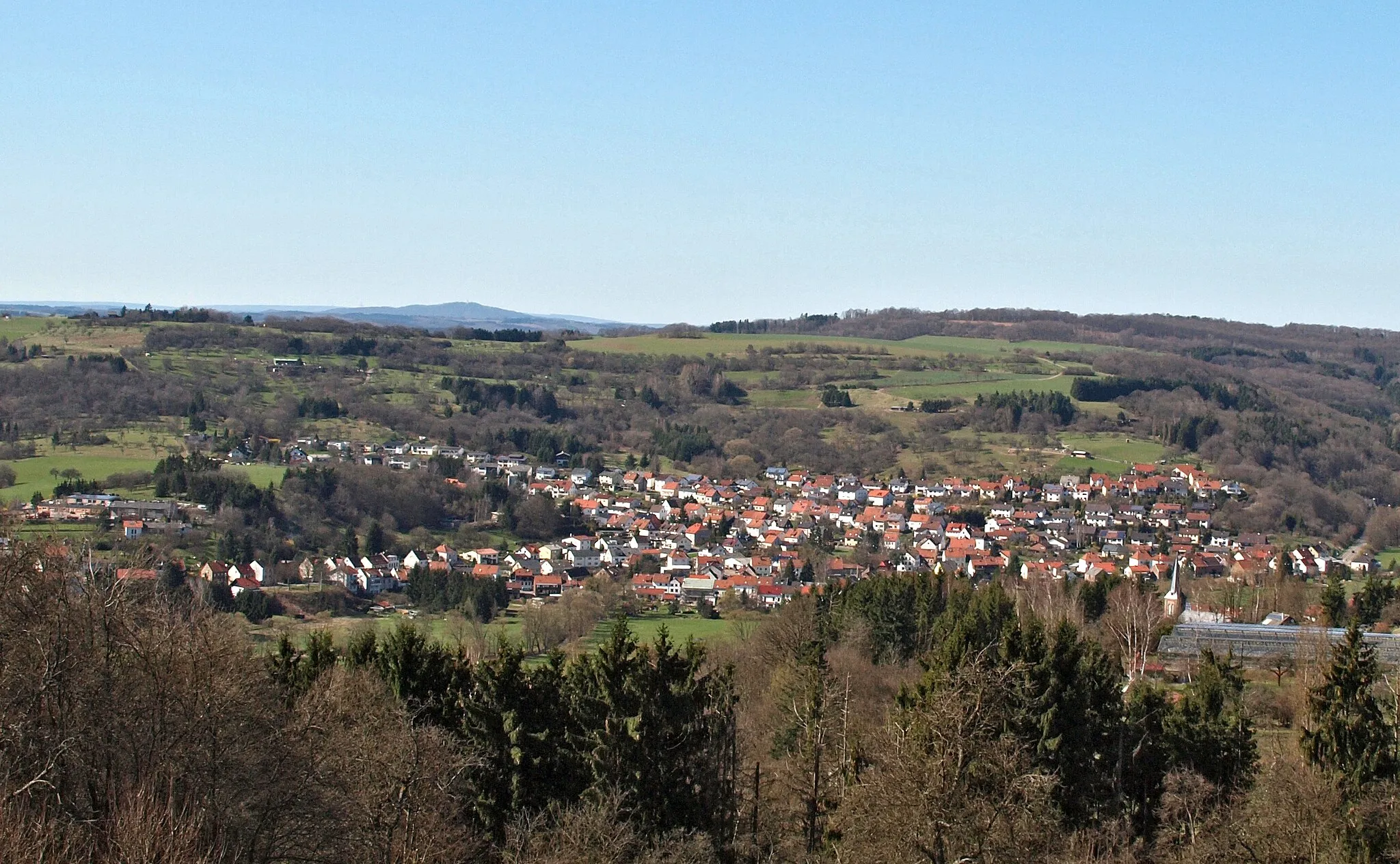
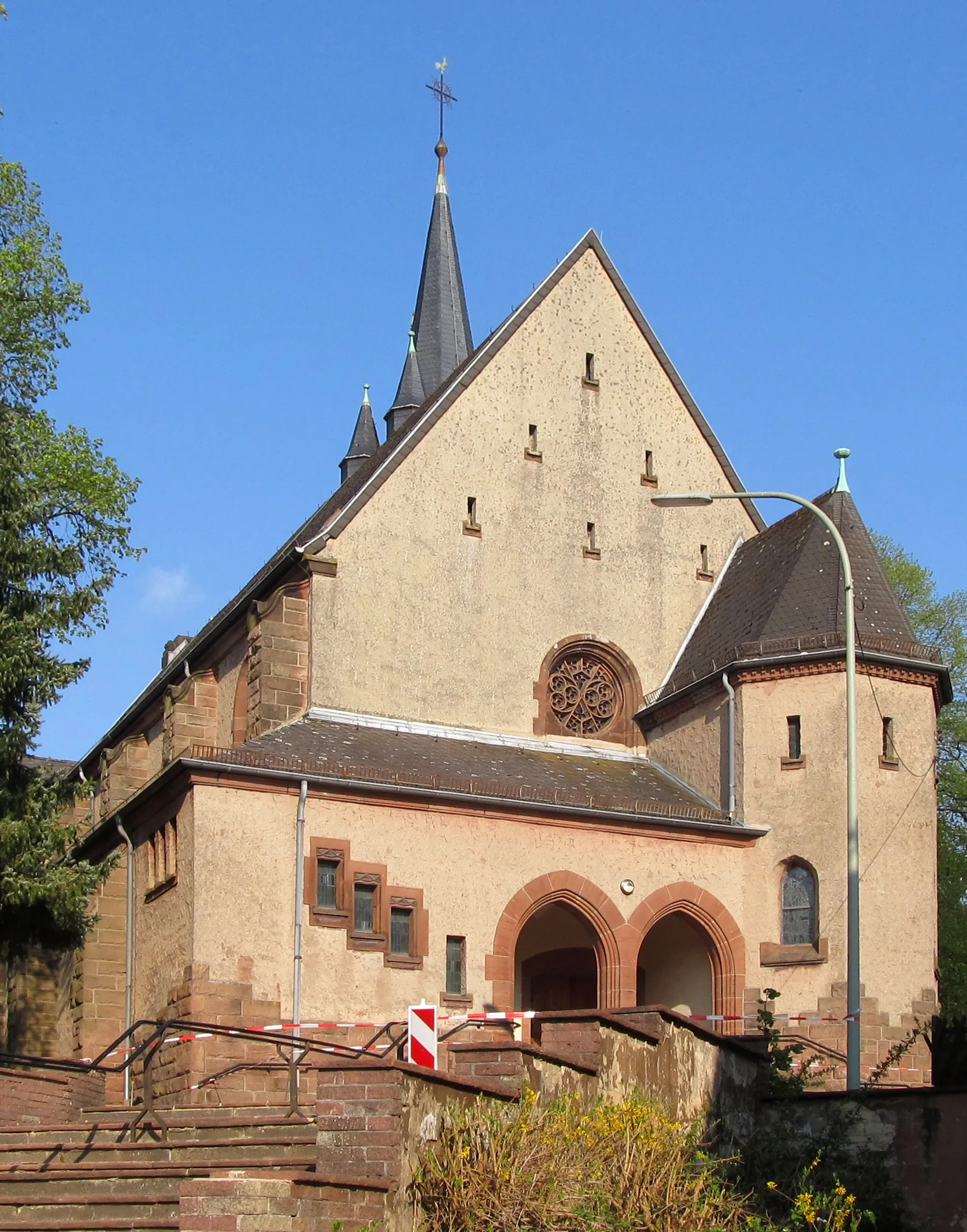
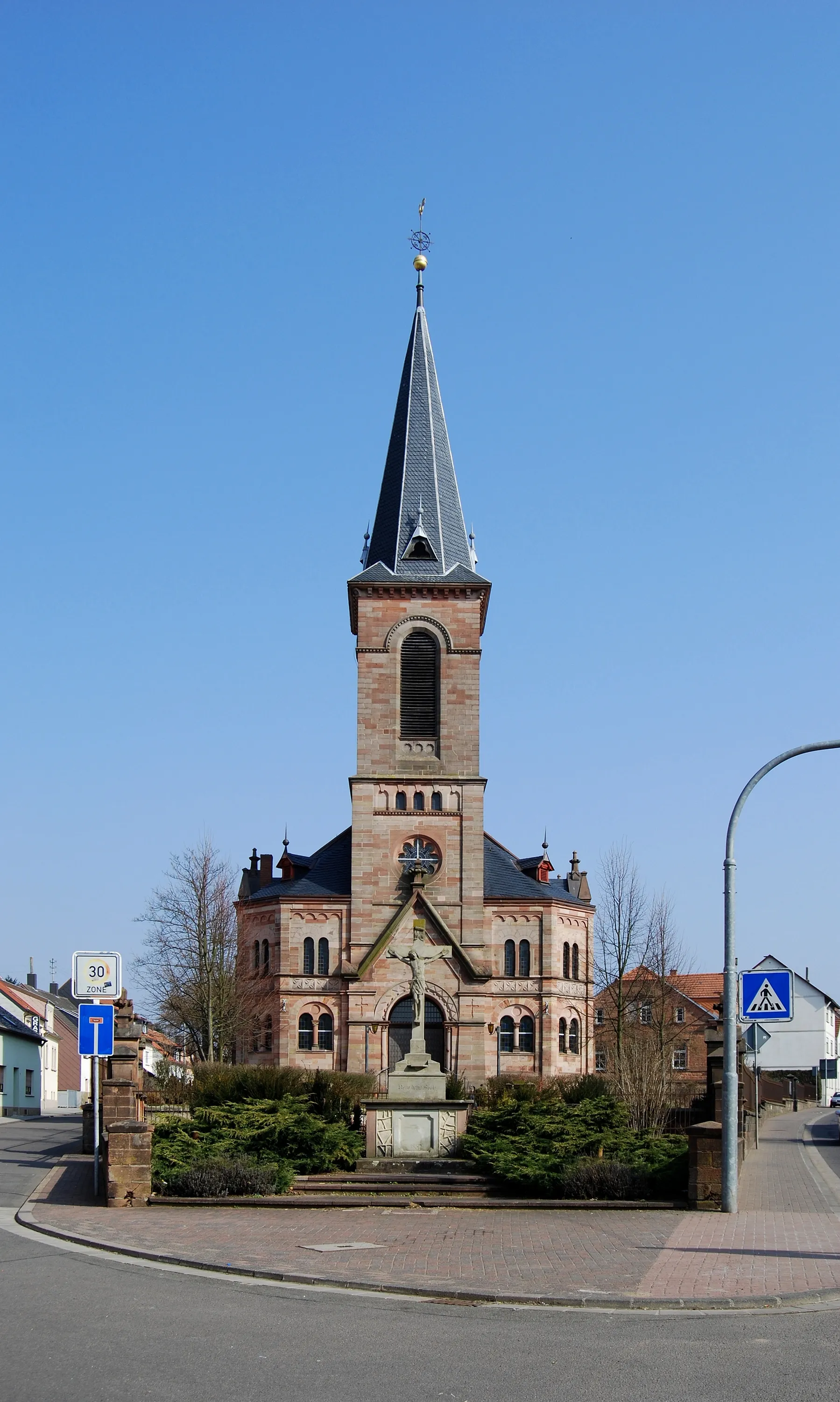
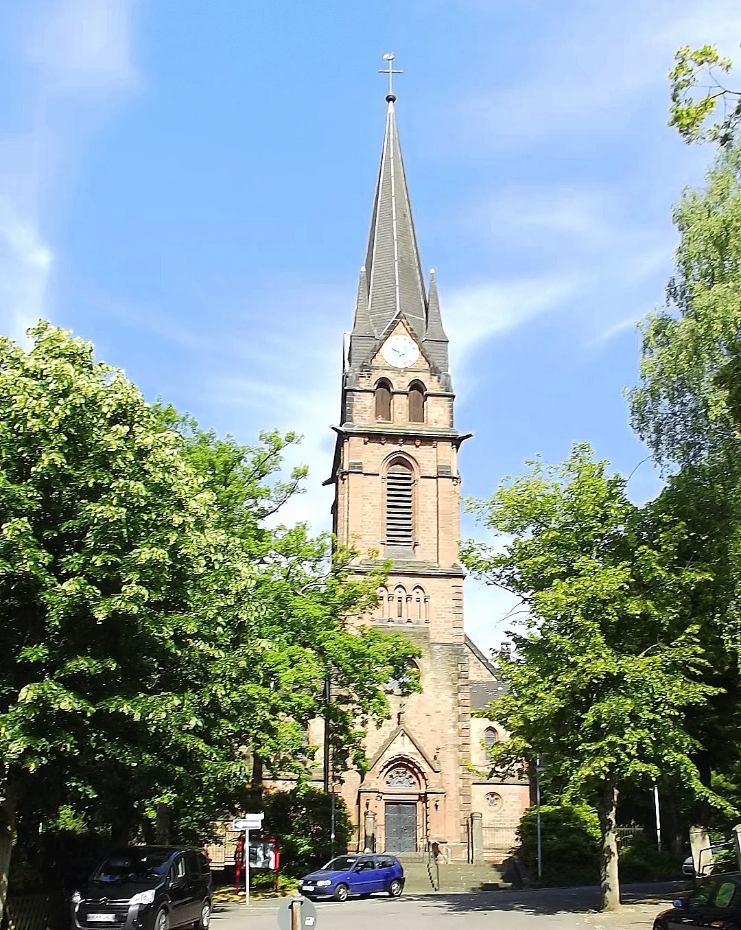
Start: Ottweiler City centerOttweiler: Tranquil cycling amidst natural beauty
Ottweiler, situated in Germany's Saarland region, offers a mix of cycling routes suitable for both road and gravel cyclists. The locality boasts well-maintained roads and scenic paths that immerse cyclists in the region's charming landscapes. While there might not be any well-known cycling spots or legendary climbs in the immediate vicinity, Ottweiler's proximity to the Saar-Hunsrück Nature Park makes it ideal for cyclists who enjoy peaceful rides surrounded by nature. With its serene atmosphere and picturesque backdrops, Ottweiler is a pleasant destination for cyclists seeking a relaxing yet rewarding cycling experience.12 km
12 km
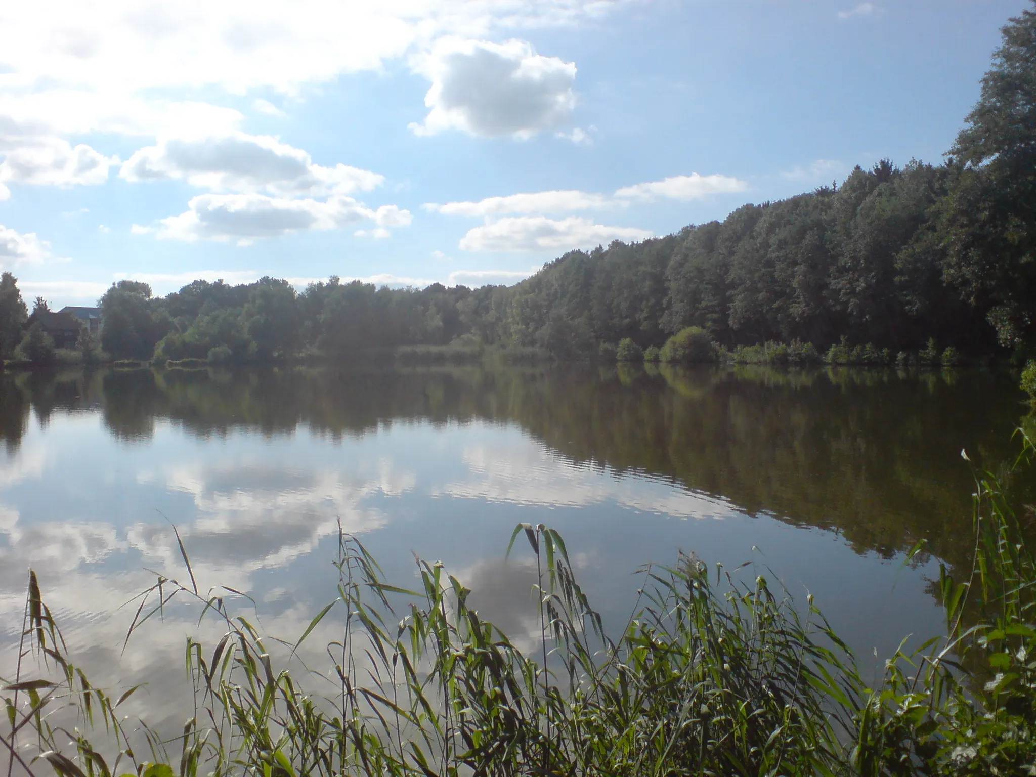
Bosenberg485 mPeakStop by the Bosenberg and enjoy the breathtaking views from the top
14 km
14 km
LeitersweilerVillageVisit Leitersweiler and admire its charming village atmosphere
24 km
24 km
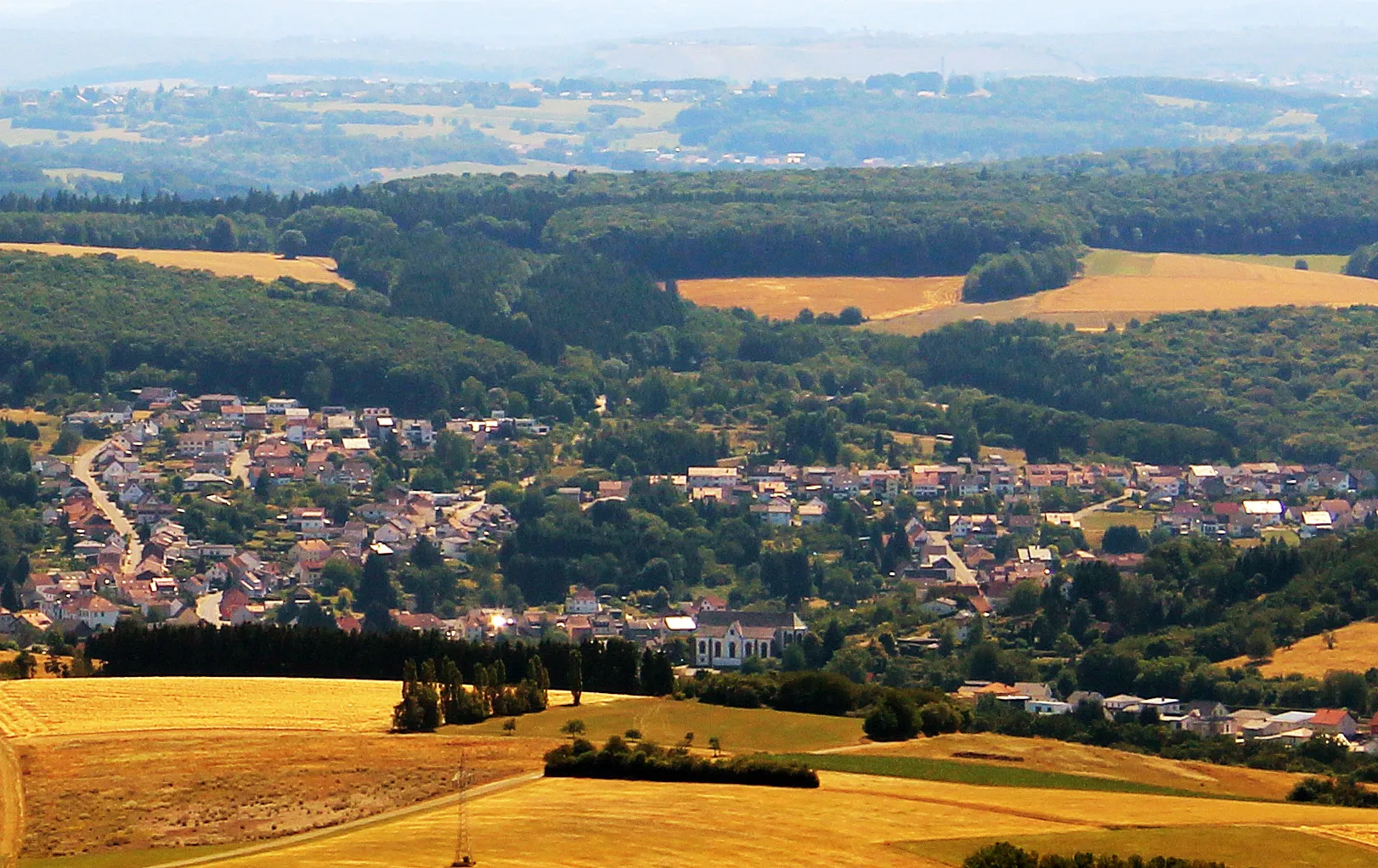
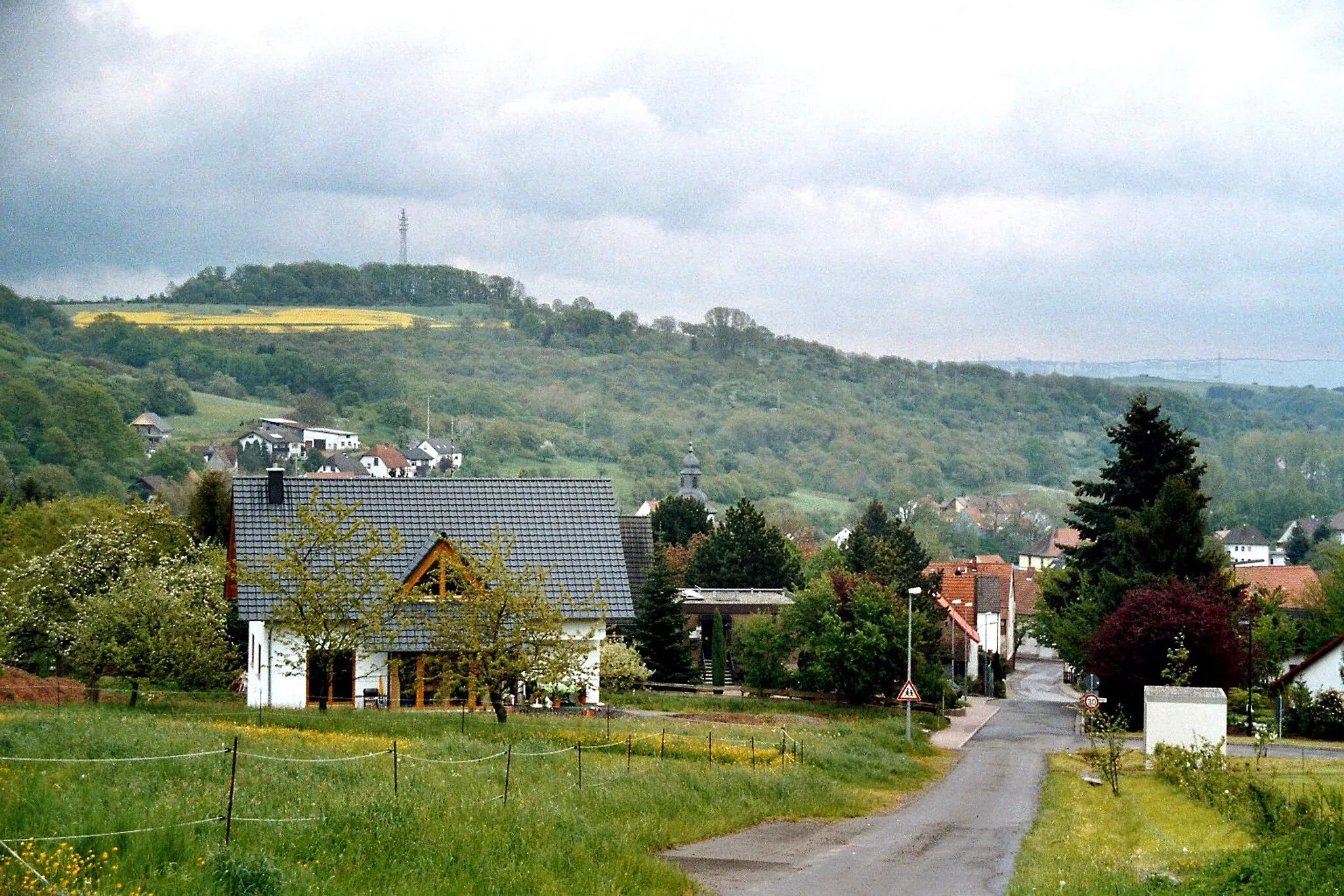
FreisenVillageExplore the historic town of Freisen and see its beautiful architecture
48 km
48 km
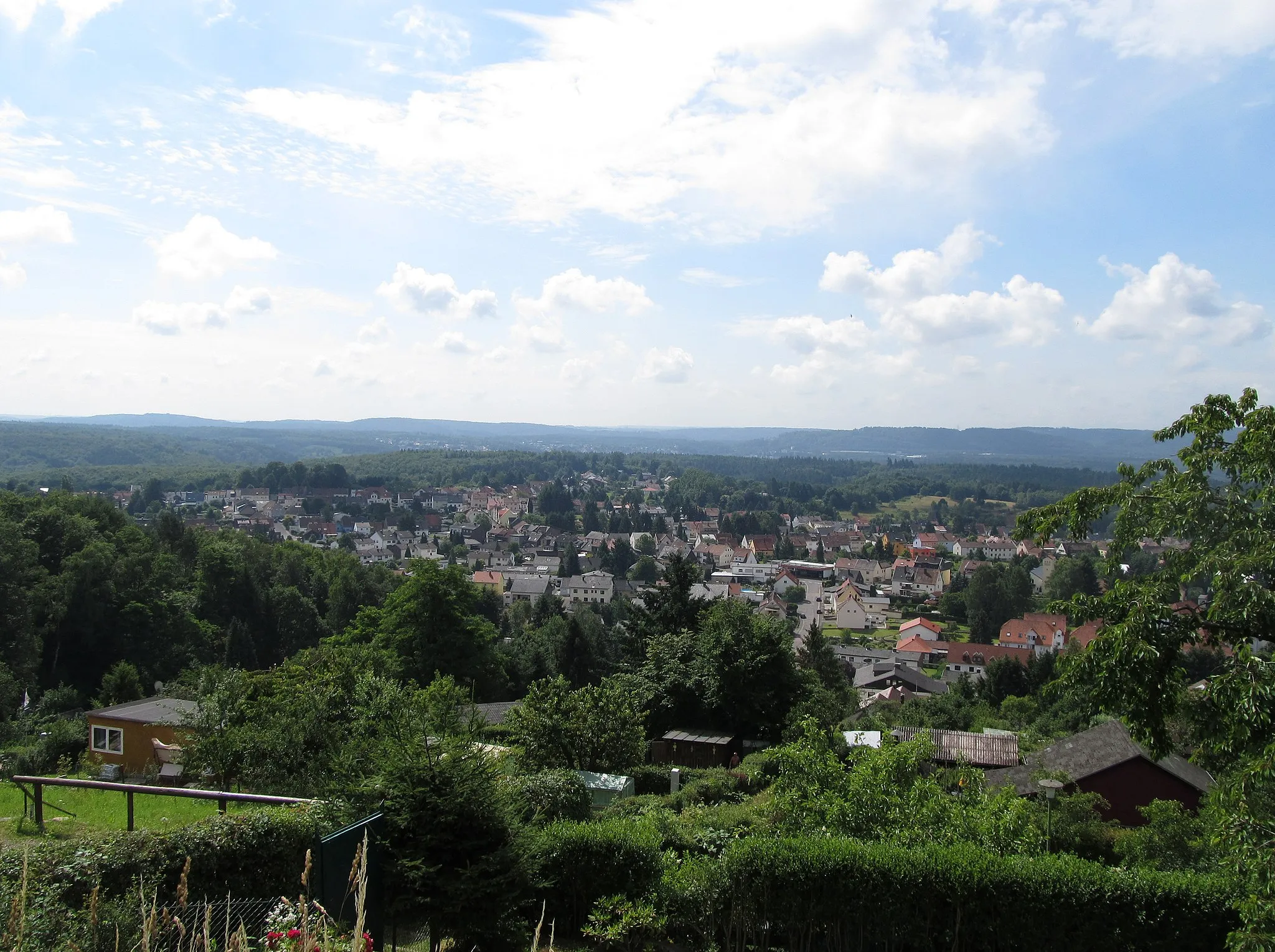
KuselTownMake a detour to Kusel and discover its rich history and cultural heritage
60 km
60 km
Knechtenberg387 mPeakClimb up to the Knechtenberg and take in the panoramic views from the summit
65 km
65 km
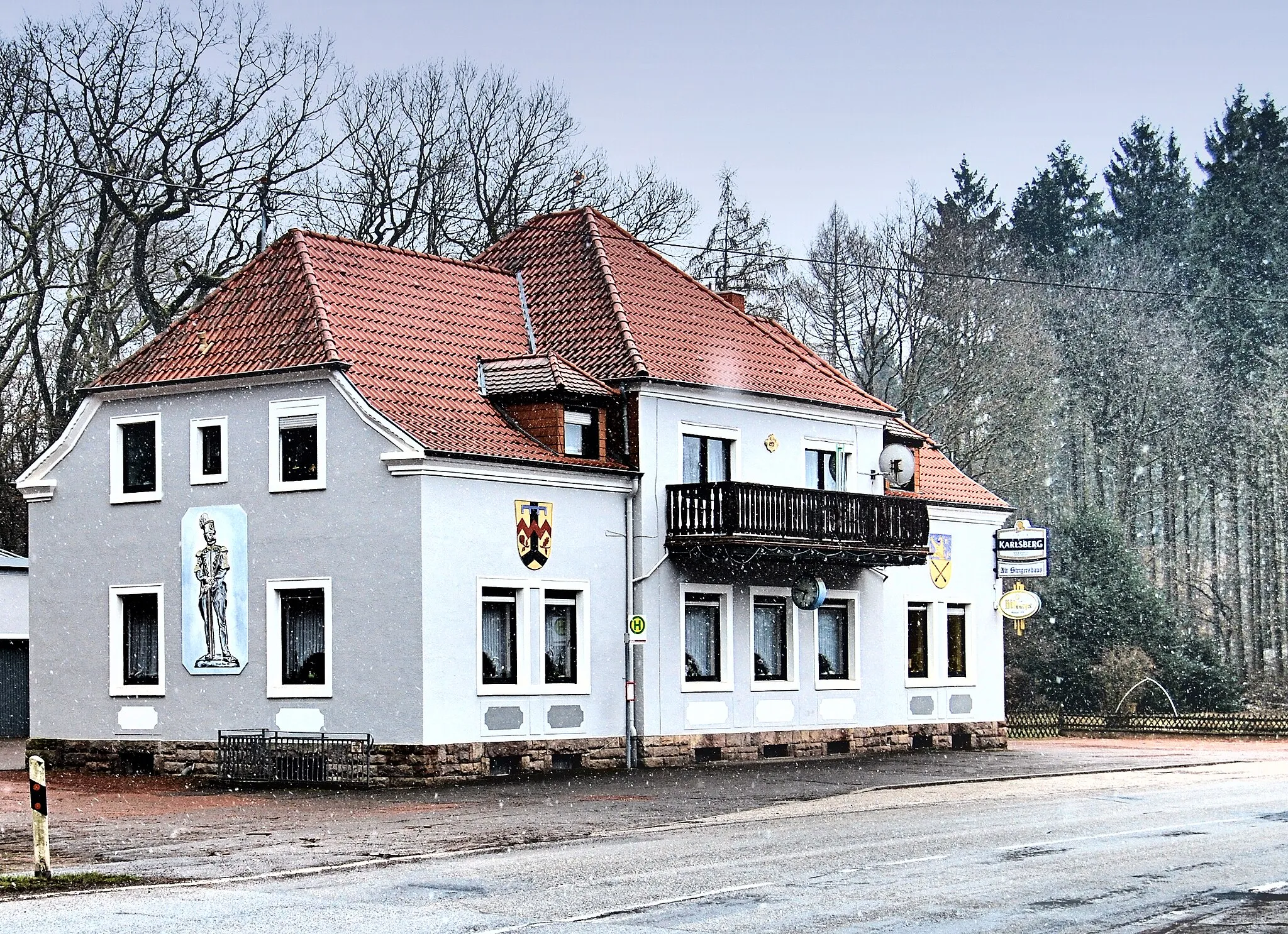
AltenkirchenVillageVisit Altenkirchen and learn about its fascinating history
73 km
73 km
FürthSub-urbPass through Fürth and appreciate its traditional German charm
75 km
75 km
Reckelberg400 mPeakStop by the Reckelberg, a nature reserve known for its diverse flora and fauna
80 km
80 km
Finish: Ottweiler City centerOttweiler: Tranquil cycling amidst natural beauty
Cycling routes from Ottweiler:
Hammersberg and Marpingen Loop Picturesque Villages and Natural Wonders Mountains and Towers Road Cycling Adventure Scenic Gravel Ride to Kasberg and Faulenberg The Ardennes Loop Ultimate Saarland Road Challenge Challenging Gravel Expedition Saarland Road Adventure Bosenberg and Reckelberg Gravel Adventure Thrilling Gravel Adventure to Conny Hill and Schmelz
Cycling routes nearby: