The Ardennes Loop
A road cycling route starting from Ottweiler
Experience the rugged beauty of the Saarland countryside as you challenge yourself on this road cycling route.
Map
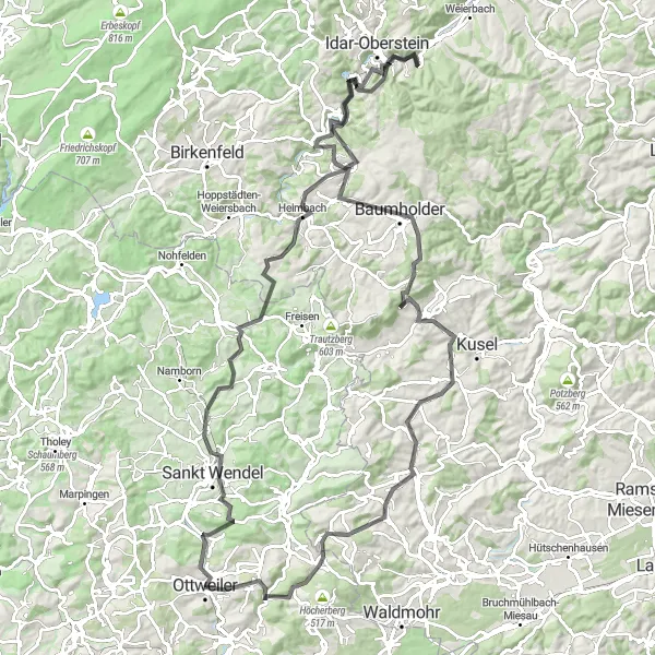
The Ardennes Loop is a challenging road cycling route that takes you through the scenic countryside of Saarland. With a total distance of 122 kilometers and an elevation gain of 2,115 meters, this route is not for the faint-hearted. However, the stunning views and unique highlights along the way make it all worthwhile. The route includes steep climbs, winding descents, and picturesque towns that are sure to delight cycling enthusiasts of all levels.
road
122 km
2115 m
Tough
Route profile
Highlights on the route
0 km
0 km
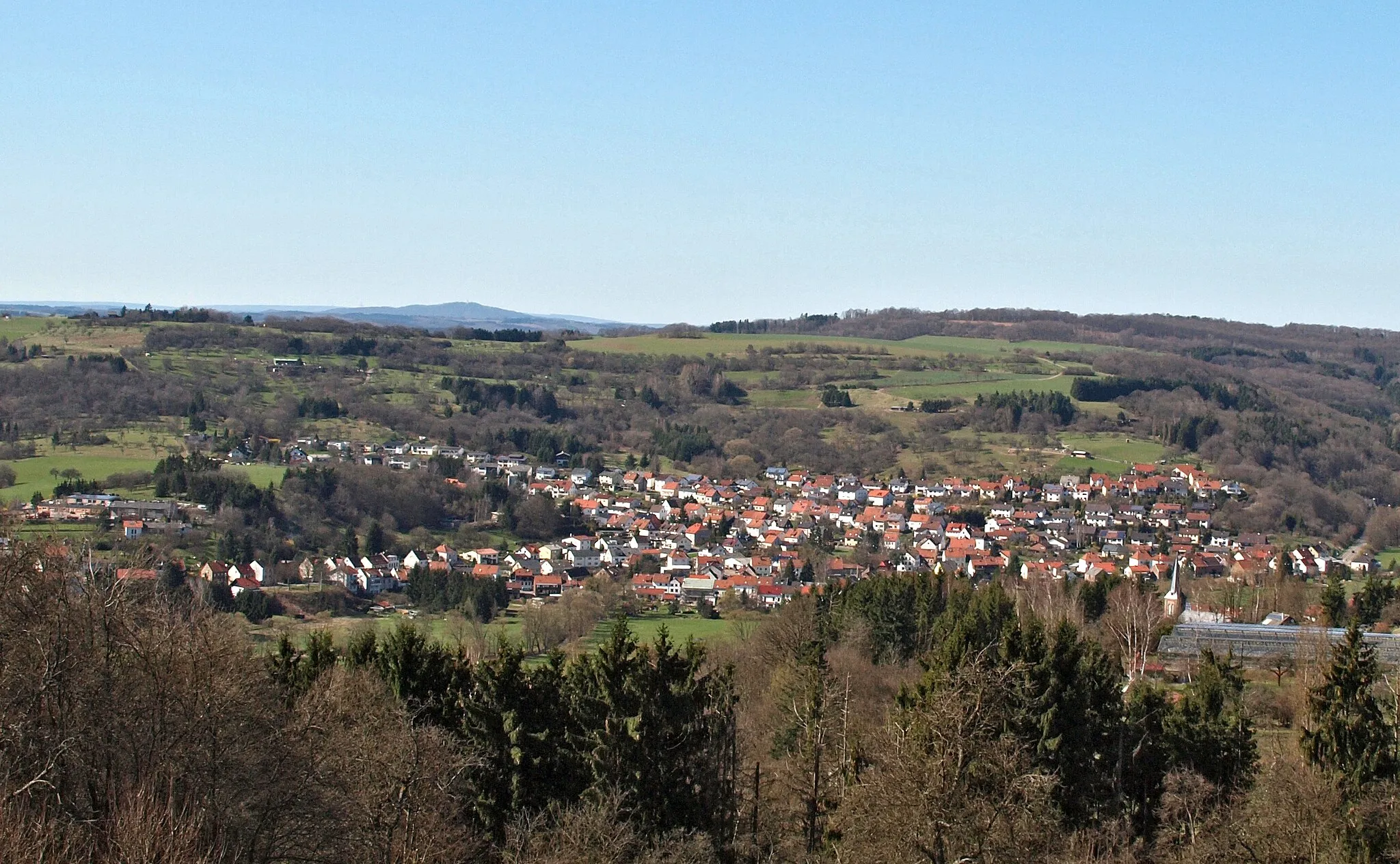
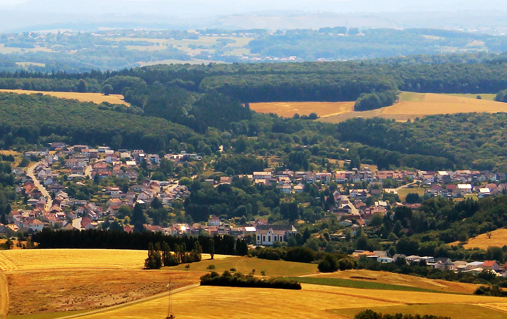
Start: Ottweiler City centerOttweiler: Tranquil cycling amidst natural beauty
Ottweiler, situated in Germany's Saarland region, offers a mix of cycling routes suitable for both road and gravel cyclists. The locality boasts well-maintained roads and scenic paths that immerse cyclists in the region's charming landscapes. While there might not be any well-known cycling spots or legendary climbs in the immediate vicinity, Ottweiler's proximity to the Saar-Hunsrück Nature Park makes it ideal for cyclists who enjoy peaceful rides surrounded by nature. With its serene atmosphere and picturesque backdrops, Ottweiler is a pleasant destination for cyclists seeking a relaxing yet rewarding cycling experience.10 km
10 km
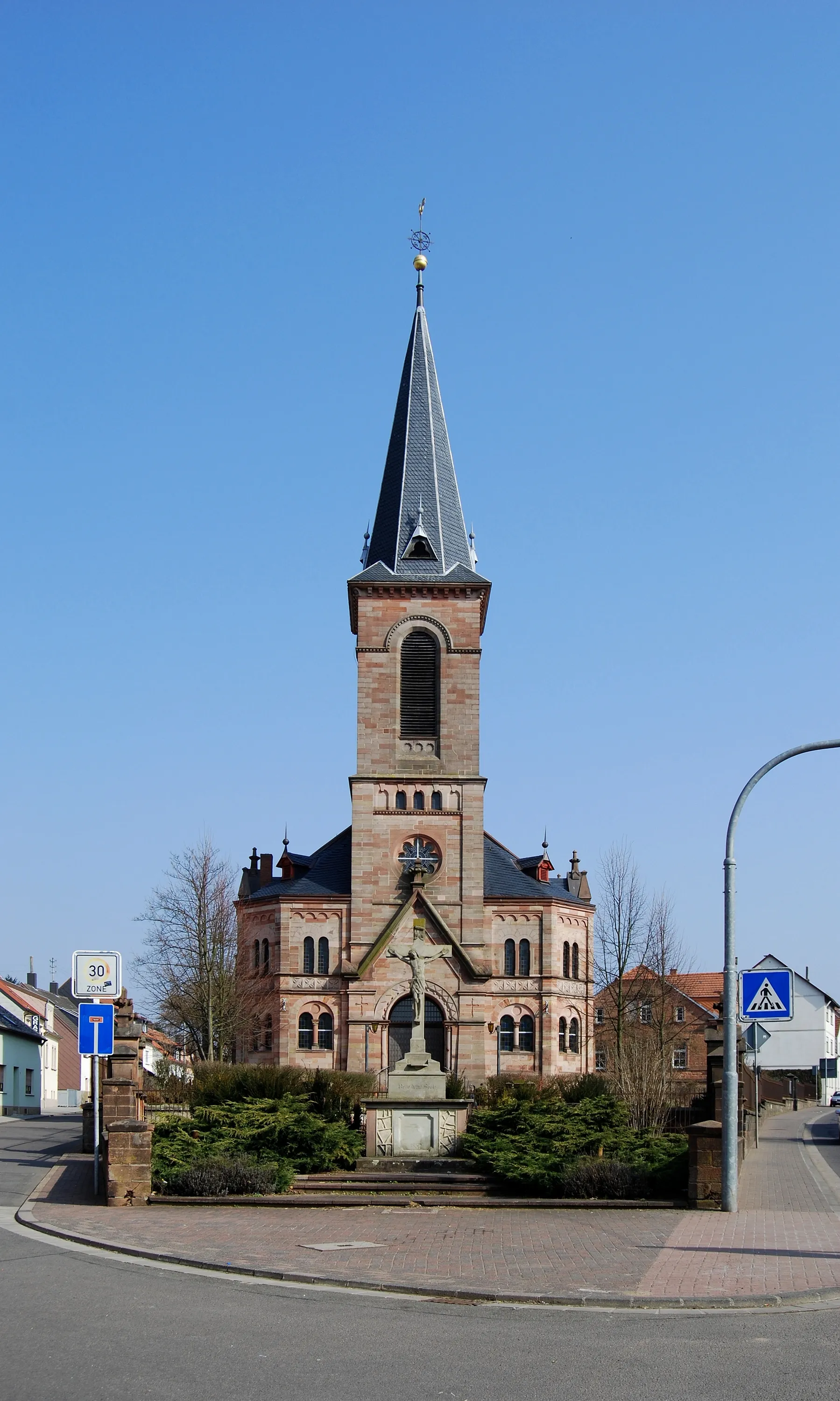
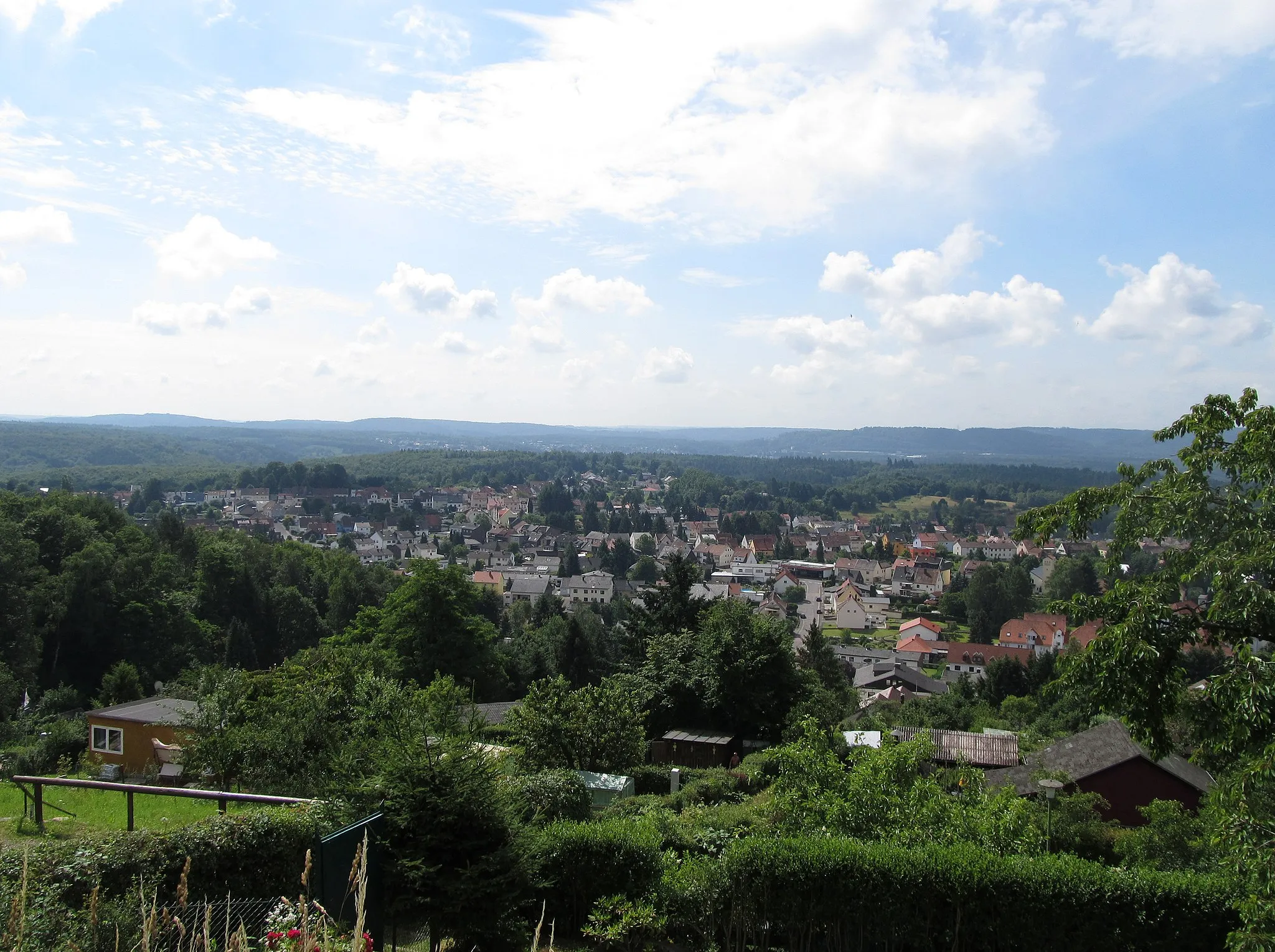
Sankt WendelTownSankt Wendel is a charming town known for its historic architecture and lively festivals.
17 km
17 km
Metzenberg475 mPeakMetzenberg offers panoramic views of the surrounding countryside and is a great spot for a picnic.
26 km
26 km
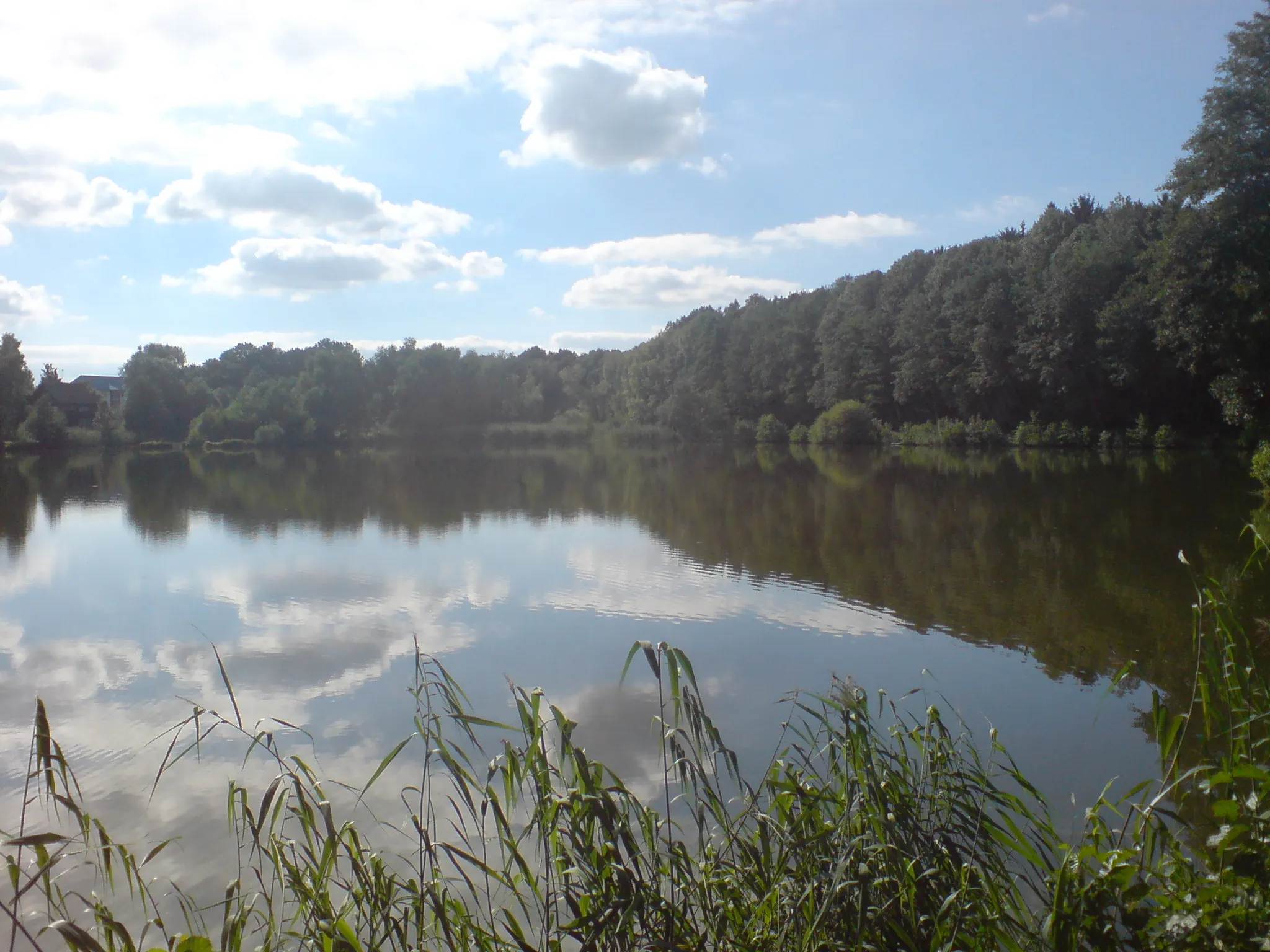
Heidenberg552 mPeakHeidenberg is a popular destination for hikers and cyclists, with a network of trails to explore.
42 km
42 km
BergfriedViewpointBergfried is a medieval castle that dates back to the 12th century and offers a glimpse into the region's rich history.
43 km
43 km
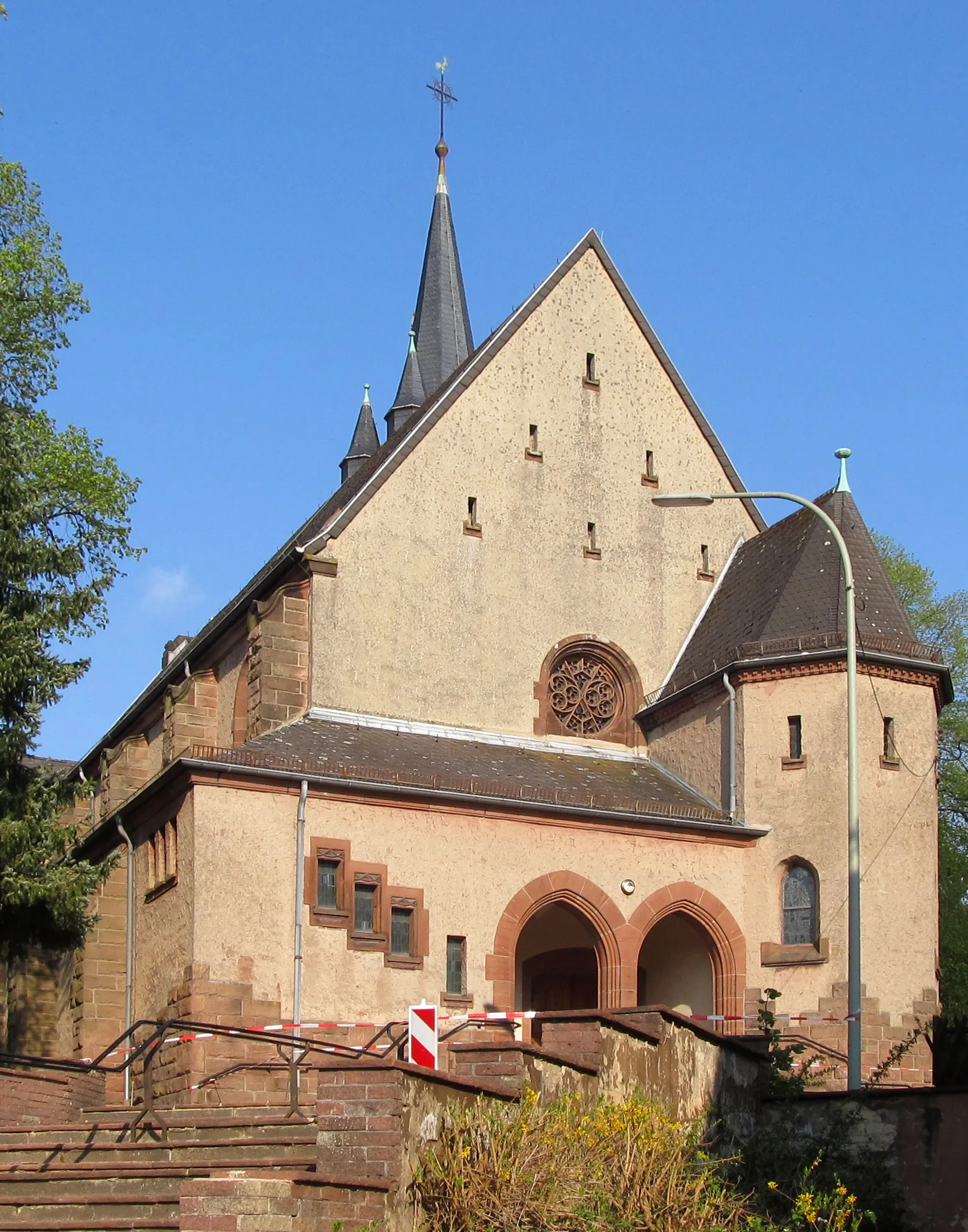
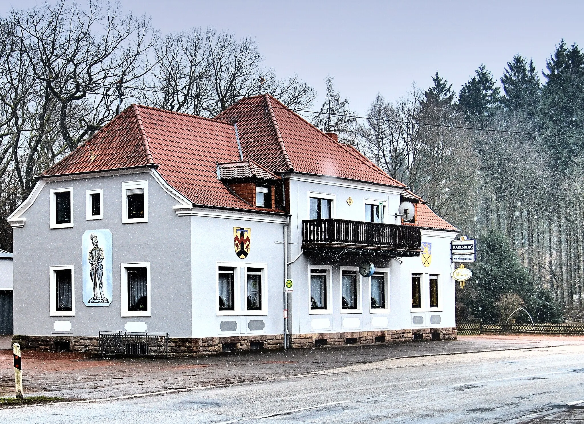
FrauenbergVillageFrauenberg is home to a beautiful church and is a peaceful place to take a break.
54 km
54 km
GötzplatzViewpointGötzplatz is a bustling square in the heart of a charming town, offering plenty of places to rest and grab a bite to eat.
84 km
84 km
Mittelberg550 mPeakMittelberg is a small hill with stunning views of the surrounding countryside.
87 km
87 km
ThallichtenbergVillageThallichtenberg is home to a picturesque castle and is a perfect spot for a photo op.
100 km
100 km
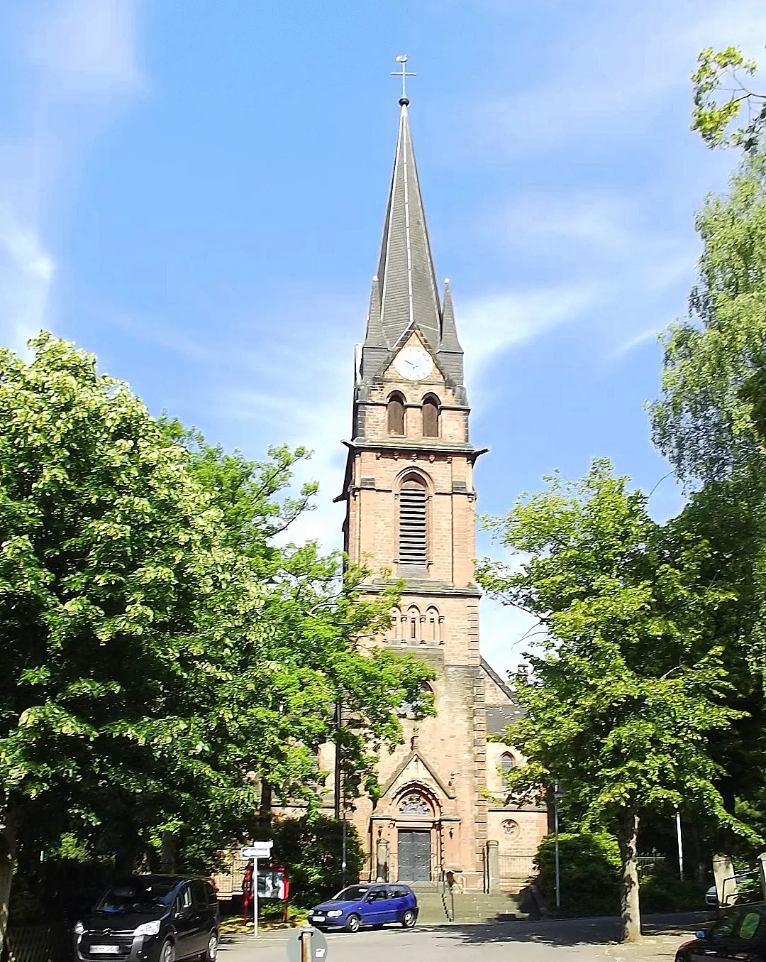
Herschweiler-PettersheimVillageHerschweiler-Pettersheim is a quaint village with an impressive 13th-century church.
104 km
104 km
Schloßberg376 mPeakSchloßberg is a historic hilltop fortification with panoramic views of the region.
114 km
114 km
MünchwiesSub-urbMünchwies is an idyllic town with picturesque streets and charming cafes.
119 km
119 km
Betzelhübel401 mPeakBetzelhübel offers a peaceful retreat surrounded by nature and is a great place to take a moment to enjoy the scenery.
122 km
122 km
Finish: Ottweiler City centerOttweiler: Tranquil cycling amidst natural beauty
Cycling routes from Ottweiler:
Hammersberg and Marpingen Loop Picturesque Villages and Natural Wonders Mountains and Towers Road Cycling Adventure Scenic Gravel Ride to Kasberg and Faulenberg The Ardennes Loop Ultimate Saarland Road Challenge Challenging Gravel Expedition Saarland Road Adventure Bosenberg and Reckelberg Gravel Adventure Thrilling Gravel Adventure to Conny Hill and Schmelz
Cycling routes nearby: