Historic Gravel Adventure
A gravel cycling route starting from Bad Klosterlausnitz
Experience the remnants of Thalbürgel's ancient castle ruins and marvel at the panoramic views from the Sonnenkuppe mountain.
Map
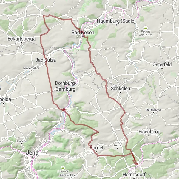
This distinctive round-trip cycling route near Bad Klosterlausnitz takes you through scenic gravel paths and offers a glimpse into the region's rich history. With a distance of 90 km and an ascent of 1291 m, it provides a challenging but rewarding adventure for gravel enthusiasts. The route takes you past highlights such as the Poxdorfer Höhe and the Altes Schloss, both offering picturesque viewpoints. The Burgheßler ruins, Kukulau bridge, and Grabsdorf reservoir add more variety to the journey. Suitable for experienced gravel riders looking for historical and natural attractions.
gravel
90 km
1291 m
Tough
Route profile
Highlights on the route
0 km
0 km
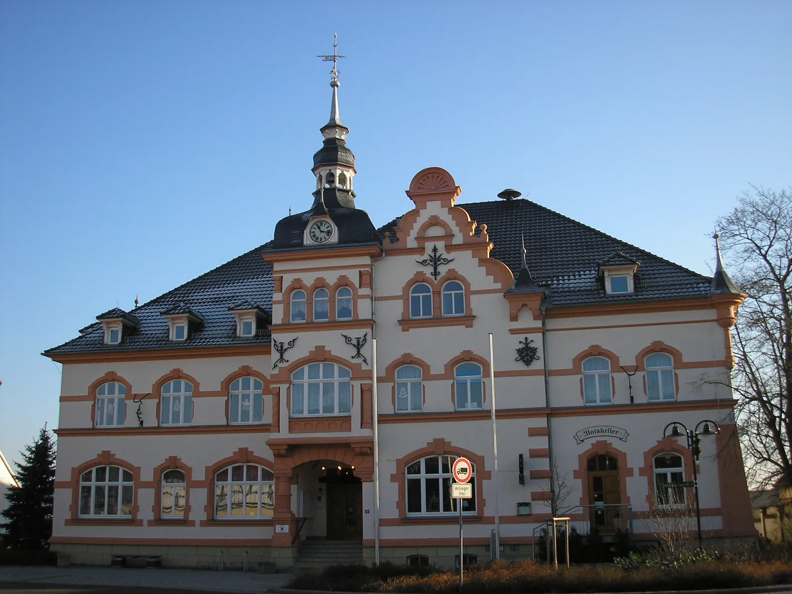
Start: Bad Klosterlausnitz Village centerBad Klosterlausnitz: Discover the natural beauty of Thüringen through cycling in Bad Klosterlausnitz
Bad Klosterlausnitz is a locality situated in the Thüringen region of Germany. From a cyclist's perspective, Bad Klosterlausnitz offers a tranquil and scenic environment, ideal for road cycling or off-road gravel biking. The region is characterized by lush forests, manicured gardens, and charming cycling paths that allow riders to explore the beautiful Thuringian landscape. Nearby, cyclists can visit the Rennsteig, a famous long-distance trail that attracts both hikers and cyclists. Overall, Bad Klosterlausnitz is a cycling-friendly area that offers a combination of natural beauty and well-maintained cycling infrastructure.10 km
10 km
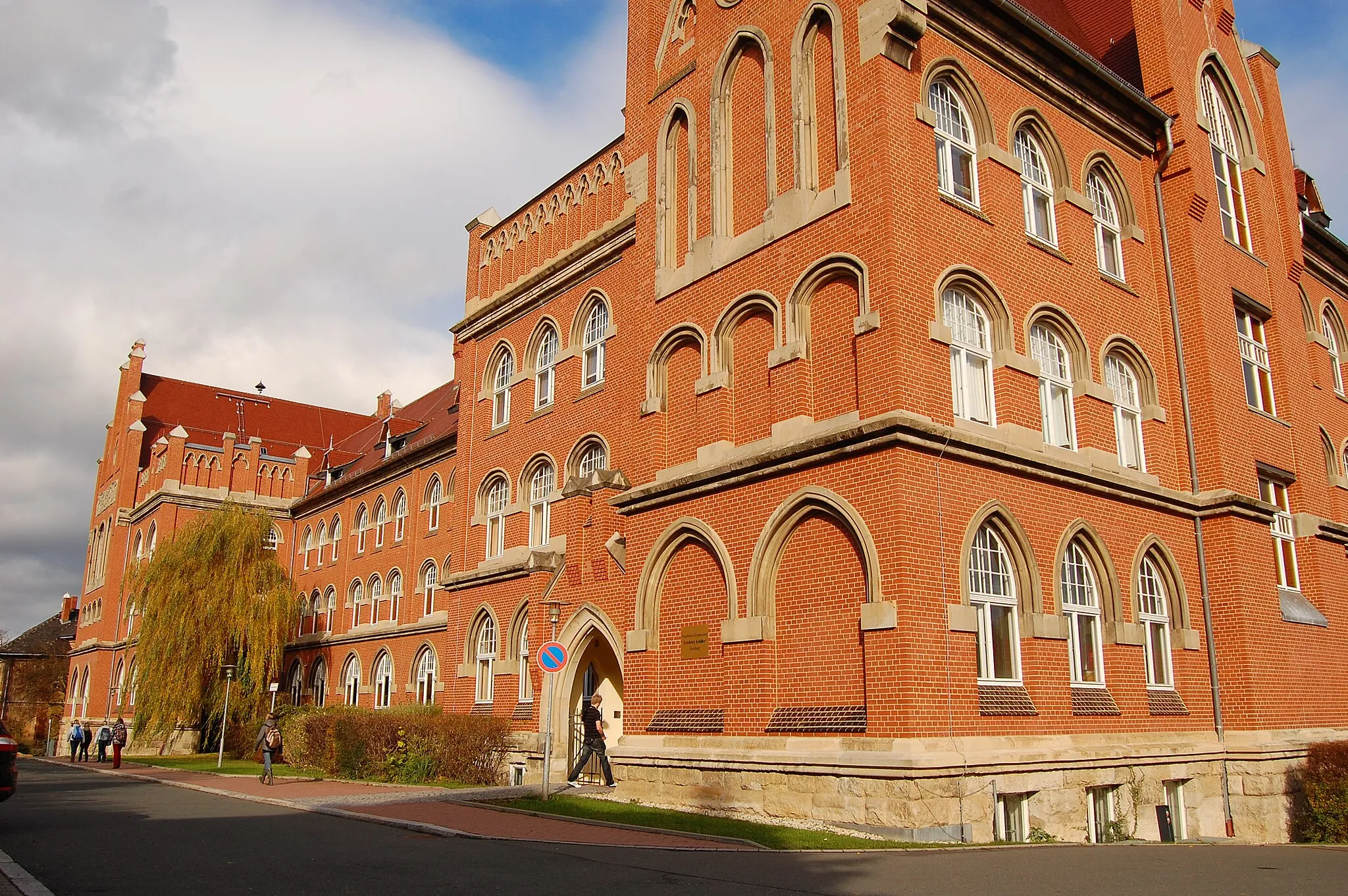
ThalbürgelVillageThalbürgel features the remains of a medieval castle. Explore this site and enjoy the scenic vistas from the hilltop.
15 km
15 km
Poxdorfer Höhe356 mPeakClimb the Poxdorfer Höhe and soak in the panoramic views over the Thuringian countryside.
24 km
24 km
Rod254 mPeakPass through the charming village of Rod and admire its traditional half-timbered houses.
26 km
26 km
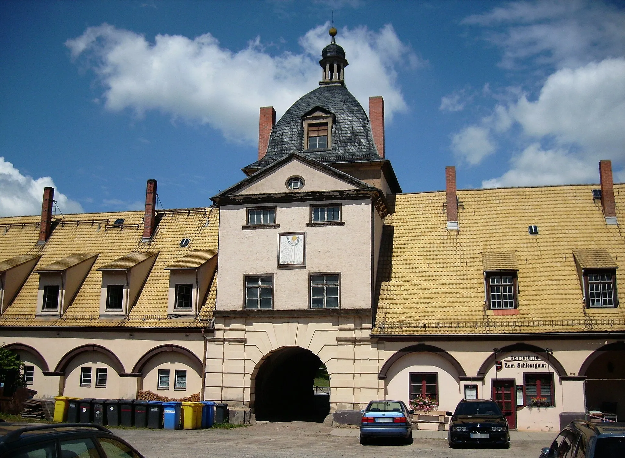
Altes SchlossCastleVisit the Altes Schloss, a well-preserved medieval castle with a fascinating history.
38 km
38 km
Sonnenkuppe235 mPeakThe Sonnenkuppe offers stunning vistas from its summit, making the challenging climb worthwhile.
50 km
50 km
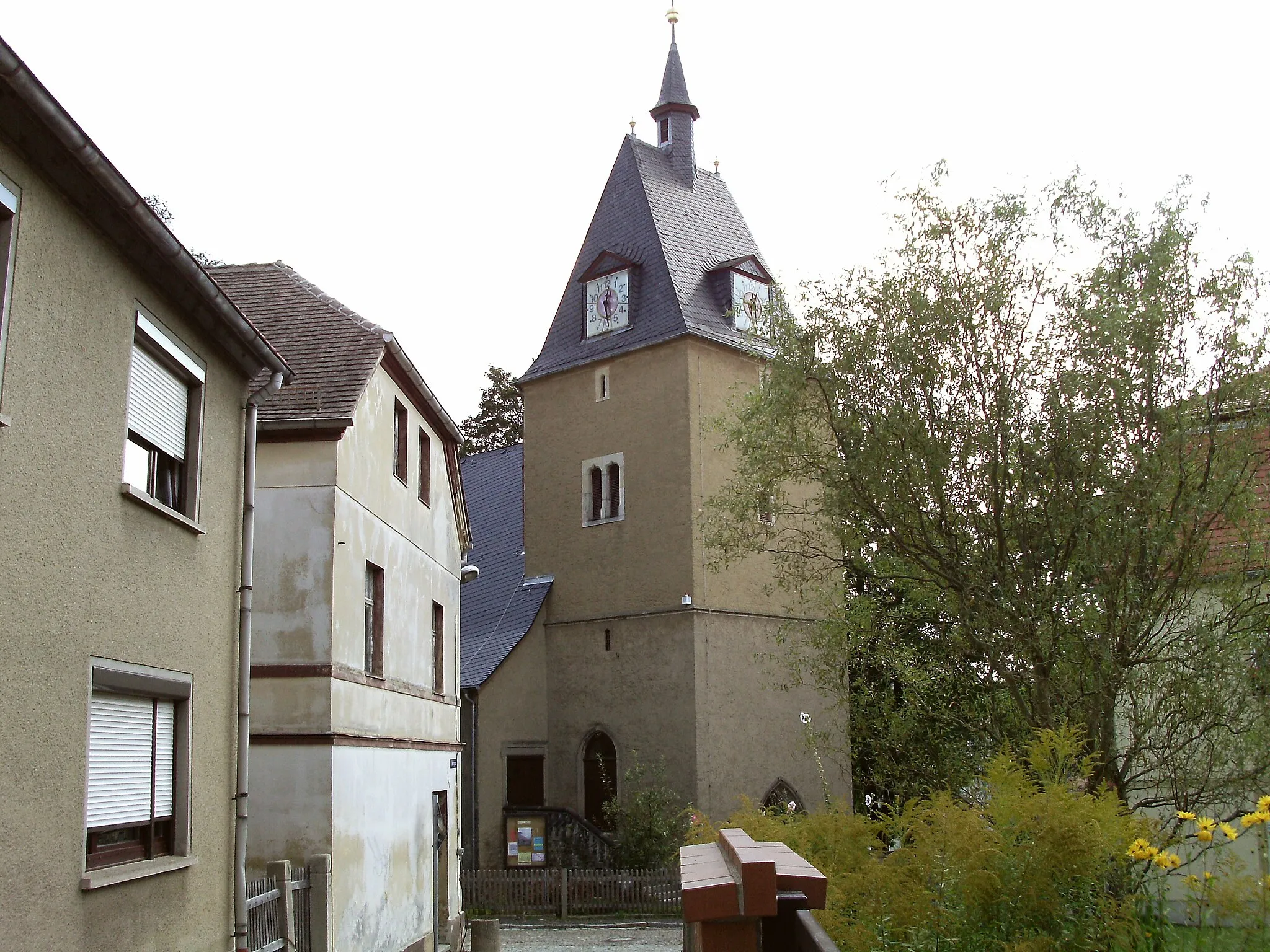
BurgheßlerVillageExplore the ruins of Burgheßler, an ancient castle that dates back to the 13th century.
60 km
60 km
KukulauVillageCross the impressive Kukulau bridge, a historic stone arch bridge that spans the river.
73 km
73 km
GrabsdorfVillageCycle alongside the scenic Grabsdorf reservoir, a peaceful and picturesque spot for a break.
81 km
81 km
DöllschützHamletReach the charming village of Döllschütz and admire its traditional architecture and tranquil atmosphere.
90 km
90 km
Finish: Bad Klosterlausnitz Village centerBad Klosterlausnitz: Discover the natural beauty of Thüringen through cycling in Bad Klosterlausnitz
Cycling routes nearby: