Challenging Gravel Expedition
A gravel cycling route starting from Bad Klosterlausnitz
Conquer the rugged terrain of the Göritzberg and experience the unique beauty of the Eisenberg mountain.
Map
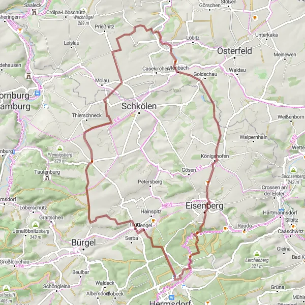
This challenging gravel expedition near Bad Klosterlausnitz covers a distance of 60 km with an ascent of 721 m. It takes you through diverse terrain, including scenic viewpoints and picturesque villages. Witness the stunning views from the top of the Göritzberg and be captivated by the unique atmosphere of the Eisenberg mountain. Pass by historic landmarks such as the Graitschen auf der Höhe tower and the Weißenborn castle ruins. With its demanding nature, this route is suitable for experienced gravel riders seeking a challenging adventure with impressive natural and cultural attractions.
gravel
60 km
721 m
Tough
Route profile
Highlights on the route
0 km
0 km
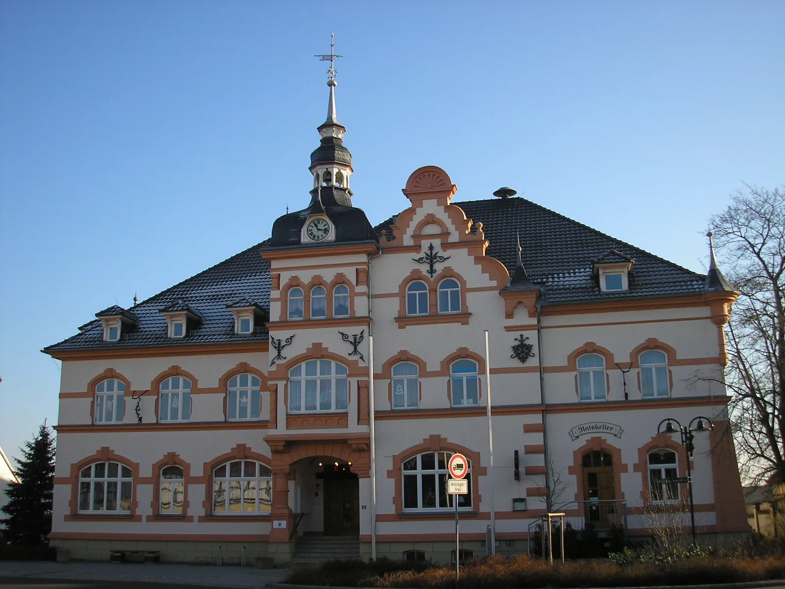
Start: Bad Klosterlausnitz Village centerBad Klosterlausnitz: Discover the natural beauty of Thüringen through cycling in Bad Klosterlausnitz
Bad Klosterlausnitz is a locality situated in the Thüringen region of Germany. From a cyclist's perspective, Bad Klosterlausnitz offers a tranquil and scenic environment, ideal for road cycling or off-road gravel biking. The region is characterized by lush forests, manicured gardens, and charming cycling paths that allow riders to explore the beautiful Thuringian landscape. Nearby, cyclists can visit the Rennsteig, a famous long-distance trail that attracts both hikers and cyclists. Overall, Bad Klosterlausnitz is a cycling-friendly area that offers a combination of natural beauty and well-maintained cycling infrastructure.9 km
9 km
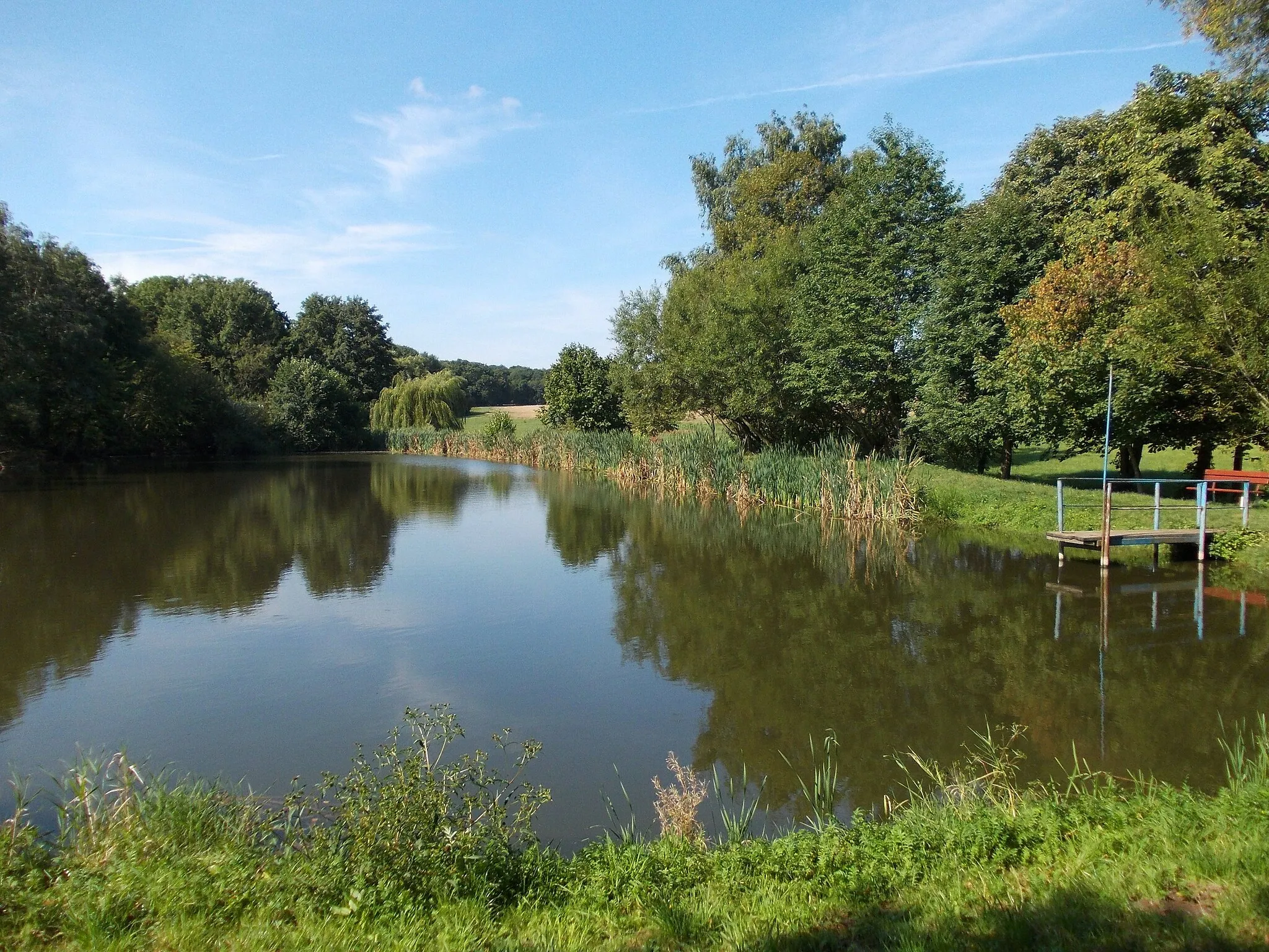
GöritzbergVillageConquer the challenging terrain of the Göritzberg and enjoy the rewarding panoramic views from its peak.
12 km
12 km
Hoher Berg343 mPeakClimb the Hoher Berg and experience the breathtaking vistas overlooking the surrounding landscapes.
23 km
23 km
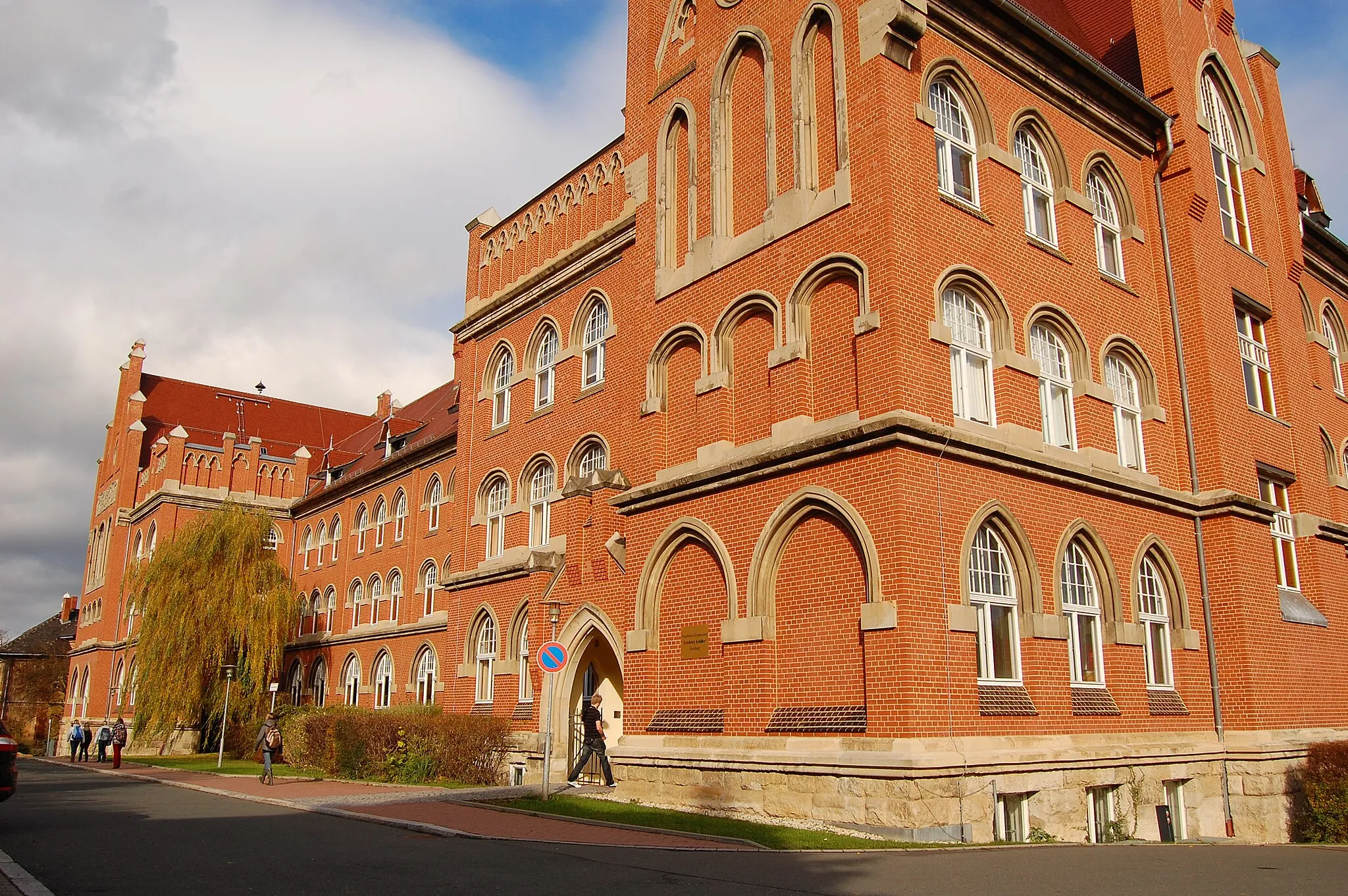
Graitschen auf der HöheVillageAdmire the architectural beauty of Graitschen auf der Höhe tower, a historic landmark of the region.
37 km
37 km
CauerwitzVillagePass through the picturesque village of Cauerwitz and be enchanted by its idyllic surroundings.
52 km
52 km
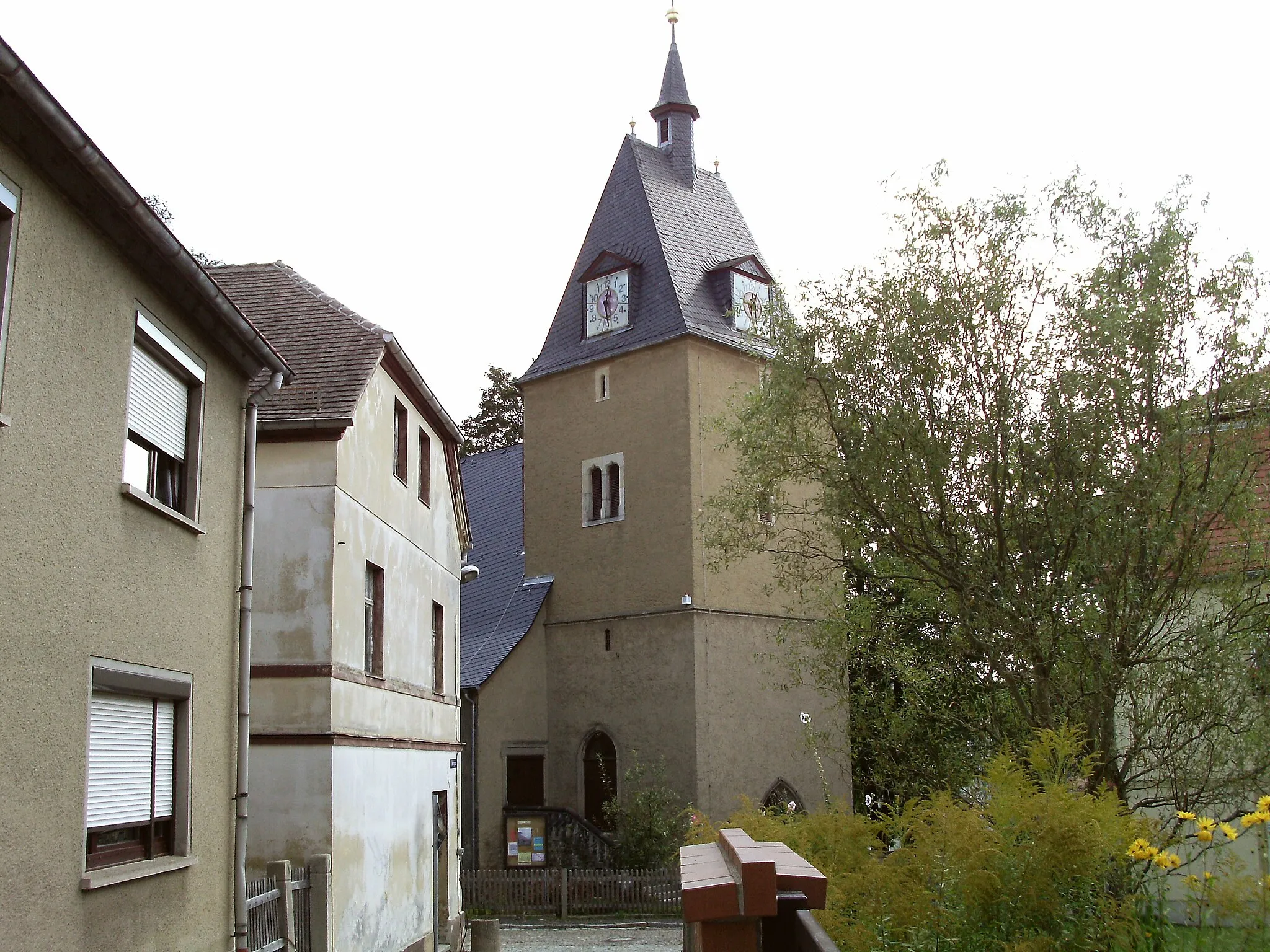
EisenbergTownExperience the unique beauty of the Eisenberg mountain while cycling through its rugged terrain.
58 km
58 km
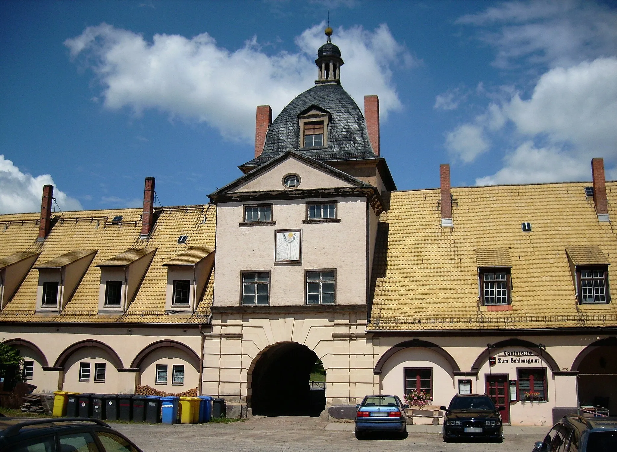
WeißenbornVillageExplore the Weißenborn castle ruins and immerse yourself in the history of Thuringia.
60 km
60 km
Buchberg342 mPeakStop at the Buchberg lookout point for panoramic views and a well-deserved break.
60 km
60 km
Finish: Bad Klosterlausnitz Village centerBad Klosterlausnitz: Discover the natural beauty of Thüringen through cycling in Bad Klosterlausnitz
Cycling routes nearby: