Scenic Road Loop
A road cycling route starting from Bad Klosterlausnitz
Enjoy a picturesque road cycling route with various attracting points, including the Buchberg lookout point and the peaceful Sandberg forest.
Map
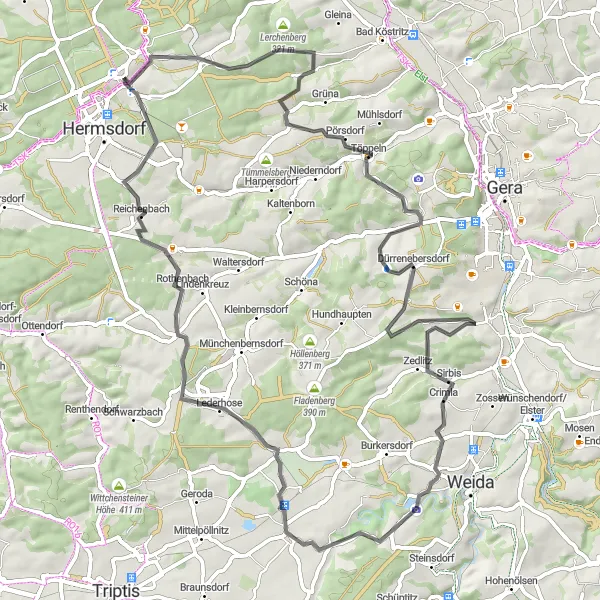
Embark on this road cycling adventure near Bad Klosterlausnitz, covering a distance of 72 km with an ascent of 938 m. The route leads you through charming villages and offers breathtaking views along the way. Highlights include the Buchberg lookout point, where you can enjoy panoramic vistas over the surrounding countryside. The Rüdersdorf village charms with its historic architecture, while the Gorlitzsch nature reserve invites you to explore its diverse flora and fauna. The Sirbis plateau and the Eisenhammer historic site add cultural interest to the journey. Suitable for road cyclists seeking a scenic trip with diverse attractions.
road
72 km
938 m
Chill
Route profile
Highlights on the route
0 km
0 km
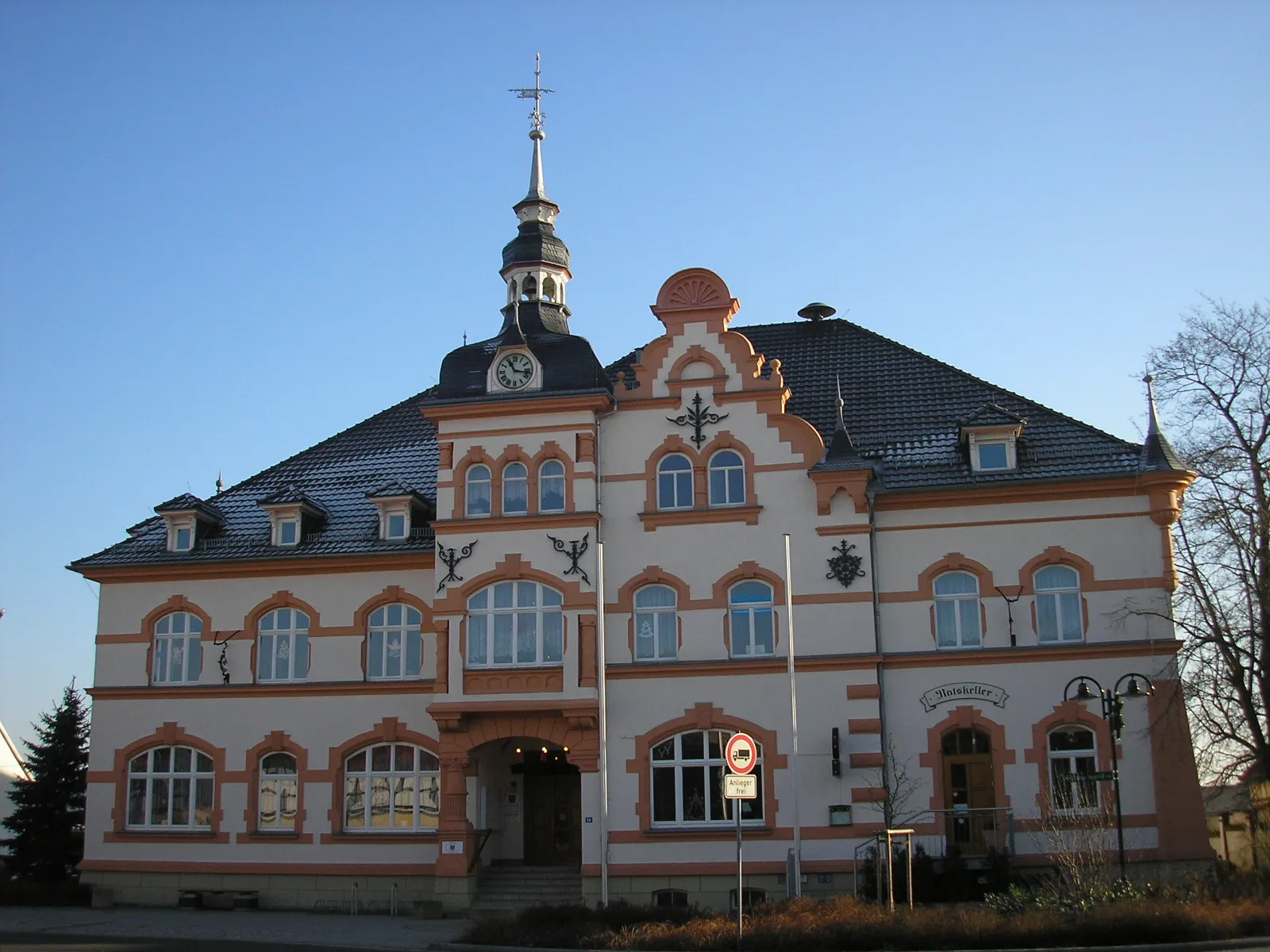
Start: Bad Klosterlausnitz Village centerBad Klosterlausnitz: Discover the natural beauty of Thüringen through cycling in Bad Klosterlausnitz
Bad Klosterlausnitz is a locality situated in the Thüringen region of Germany. From a cyclist's perspective, Bad Klosterlausnitz offers a tranquil and scenic environment, ideal for road cycling or off-road gravel biking. The region is characterized by lush forests, manicured gardens, and charming cycling paths that allow riders to explore the beautiful Thuringian landscape. Nearby, cyclists can visit the Rennsteig, a famous long-distance trail that attracts both hikers and cyclists. Overall, Bad Klosterlausnitz is a cycling-friendly area that offers a combination of natural beauty and well-maintained cycling infrastructure.1 km
1 km
Buchberg342 mPeakStop at the Buchberg lookout point and take in the stunning views of the Thuringian landscape.
12 km
12 km
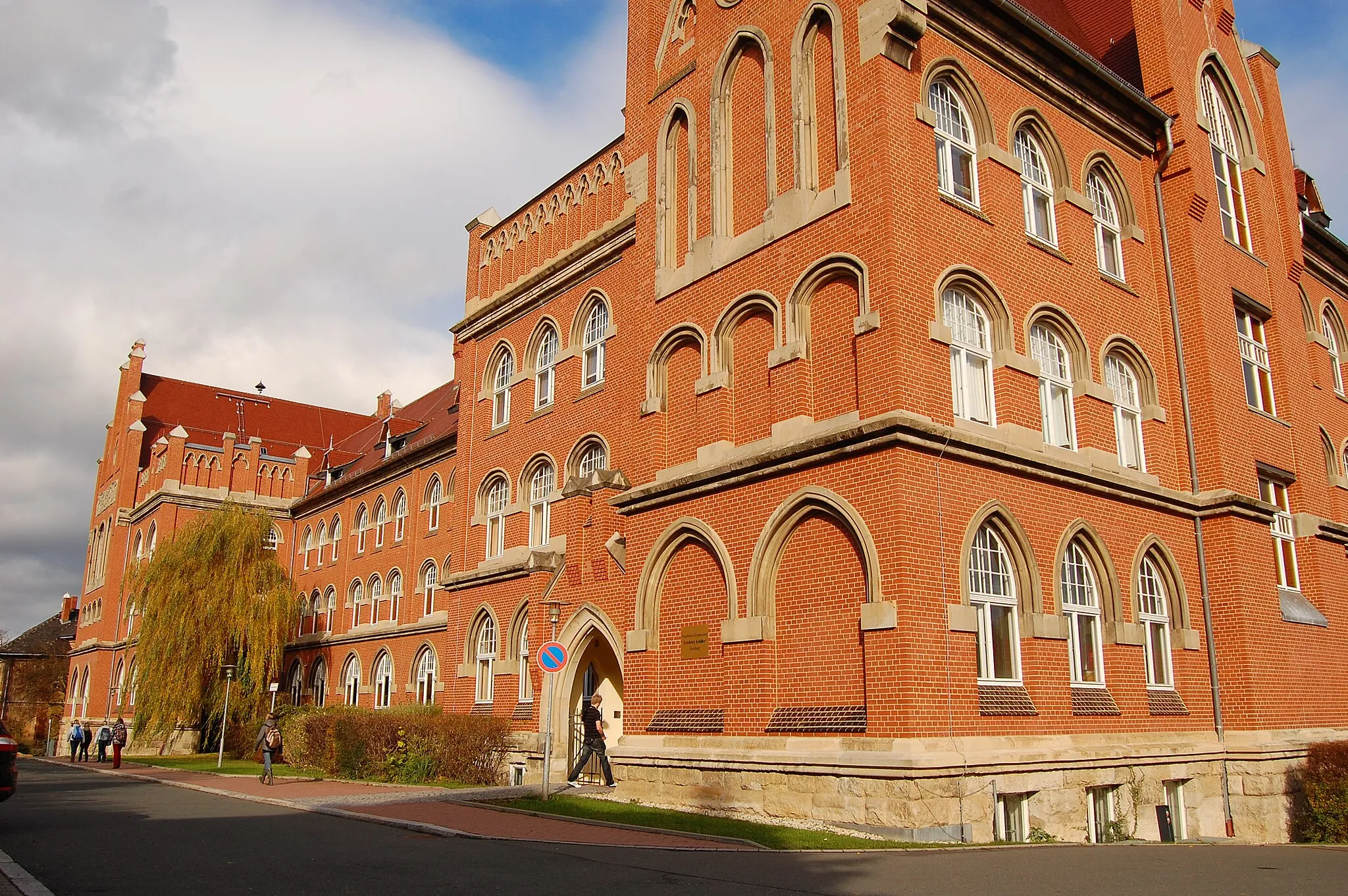
RüdersdorfVillageExplore the quaint village of Rüdersdorf with its well-preserved historic buildings.
19 km
19 km
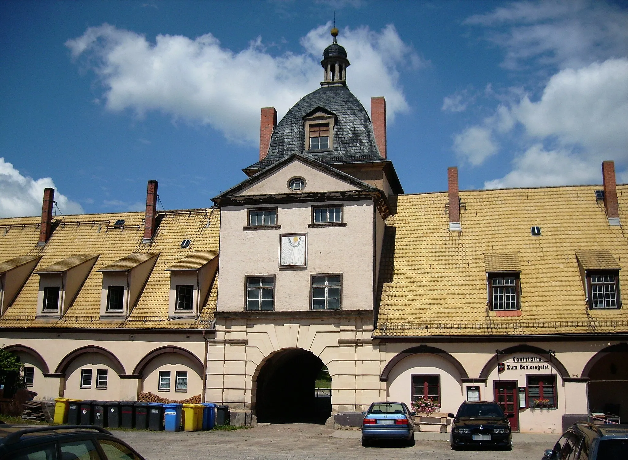
ScheubengrobsdorfVillagePass through the village of Scheubengrobsdorf and admire its charming traditional architecture.
29 km
29 km
GorlitzschVillageDiscover the natural beauty of the Gorlitzsch nature reserve, home to diverse flora and fauna.
36 km
36 km
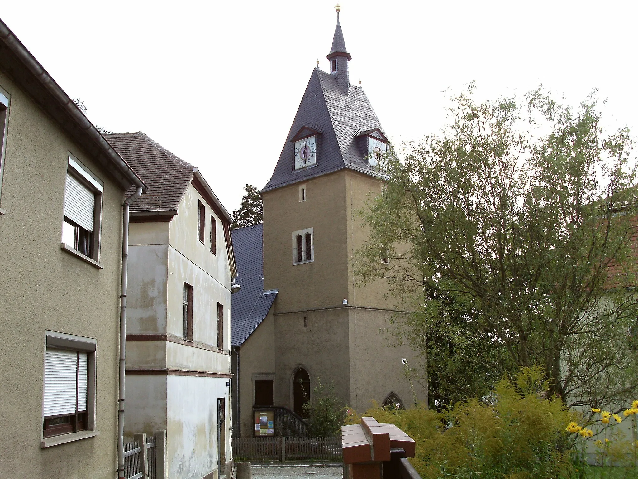
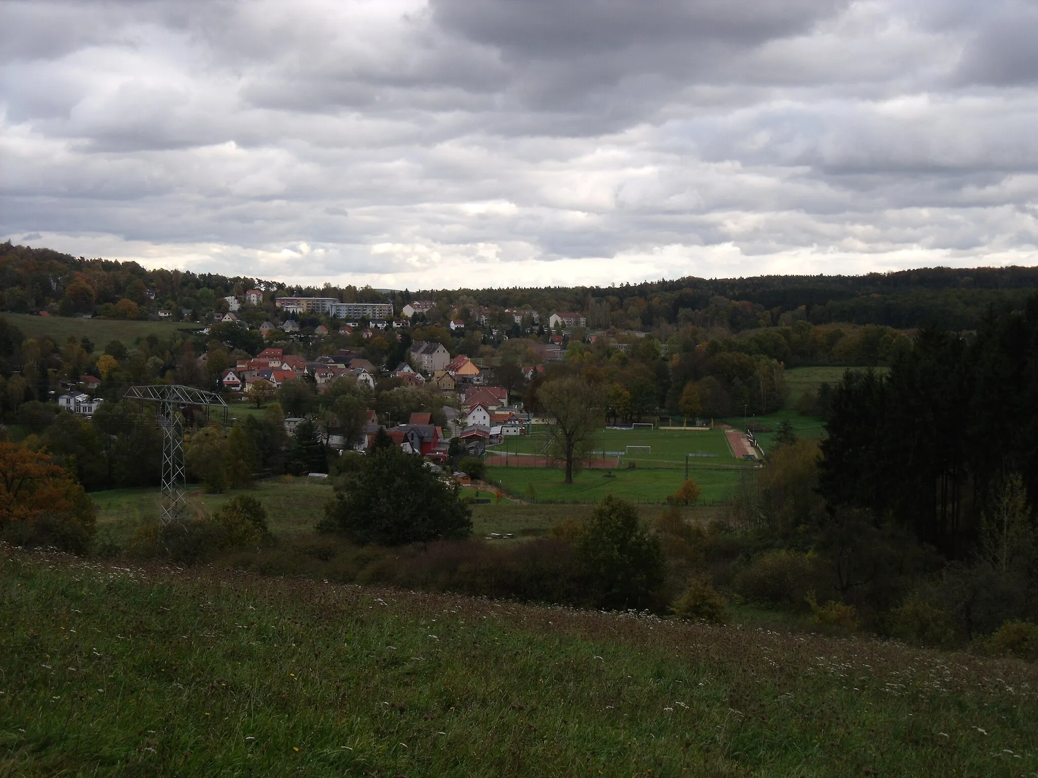
SirbisVillageVisit the picturesque village of Sirbis, known for its beautiful surroundings and warm hospitality.
42 km
42 km
EisenhammerAttractionLearn about the ironworking history of the region at the Eisenhammer, a well-preserved historic site.
50 km
50 km
Sandberg350 mPeakCycle through the peaceful Sandberg forest, a tranquil natural oasis that offers a refreshing break from the road.
56 km
56 km
NeuensorgaVillageEnjoy the calm atmosphere of Neuensorga, a lovely village surrounded by idyllic landscapes.
72 km
72 km
Finish: Bad Klosterlausnitz Village centerBad Klosterlausnitz: Discover the natural beauty of Thüringen through cycling in Bad Klosterlausnitz
Cycling routes nearby: