The Forest Loop
A gravel cycling route starting from Neuhaus am Rennweg
A thrilling gravel adventure through dense forests and enchanting villages
Map
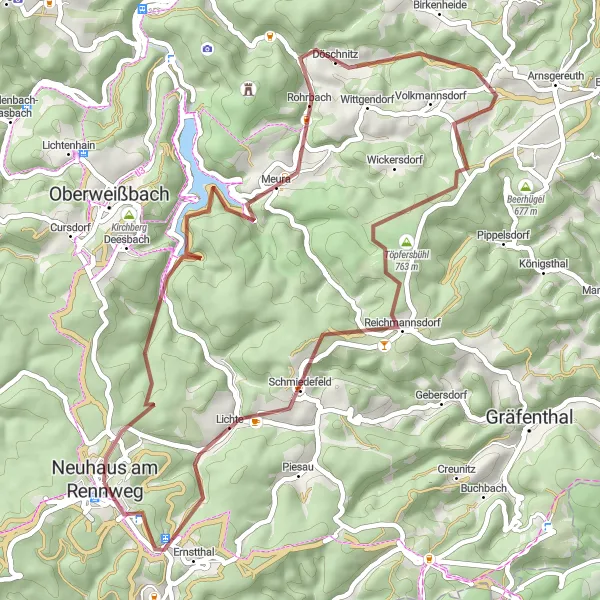
Embark on a 48-kilometer gravel cycling journey through the Thuringian Forest. With an ascent of 1145 meters, this route offers a moderate challenge for gravel enthusiasts. Traverse the quaint villages of Rückersbiel and Meura, admire the scenic beauty of Döschnitz, and conquer the challenging trails of Töpfersbühl. Visit the Rauhhügel hill for breathtaking views, experience the rustic charm of Ernstthal, and explore the captivating forests of Bornhügel. This route promises an unforgettable gravel adventure amidst nature's wonders.
gravel
48 km
1145 m
Tough
Route profile
Highlights on the route
0 km
0 km
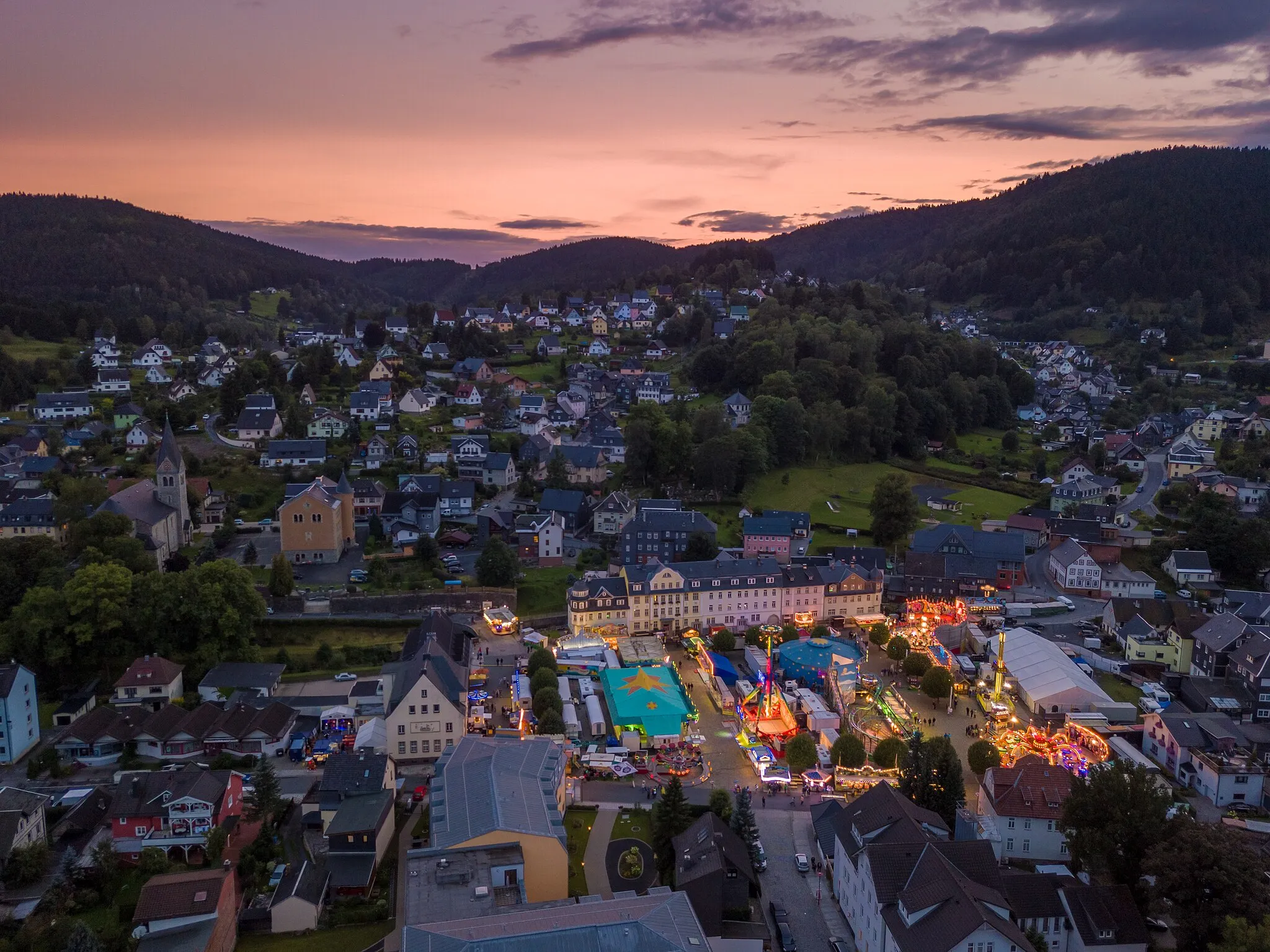
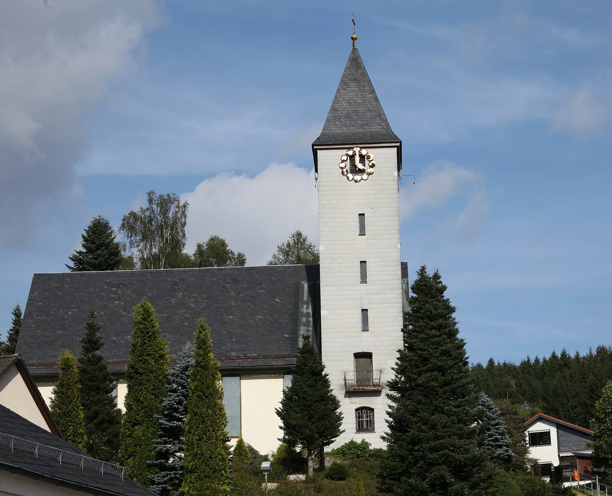
Start: Neuhaus am Rennweg City centerNeuhaus am Rennweg: Cycle through scenic landscapes and immerse yourself in nature in Neuhaus am Rennweg.
Neuhaus am Rennweg, located in Thüringen, Germany, offers moderate cycling opportunities for road and gravel cyclists. The region features picturesque landscapes, with rolling hills and dense forests. Cyclists can enjoy exploring the quiet country roads, although they might not find any particularly challenging climbs or famous cycling spots nearby. Nature enthusiasts will appreciate the diverse flora and fauna found in the area, with ample opportunities for hiking or birdwatching. Overall, Neuhaus am Rennweg provides a peaceful setting for cyclists looking to enjoy nature and take a leisurely ride.2 km
2 km
Rückersbiel756 mPeak14 km
14 km
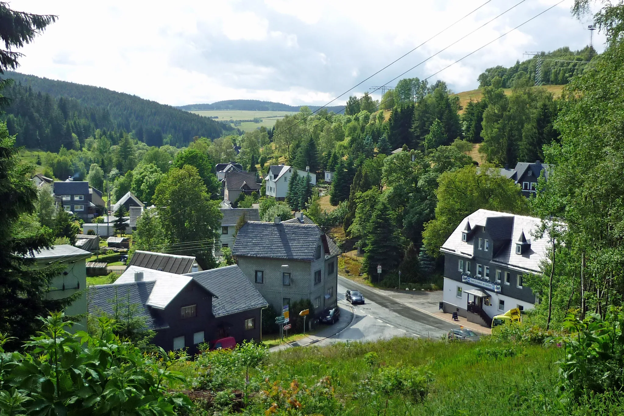
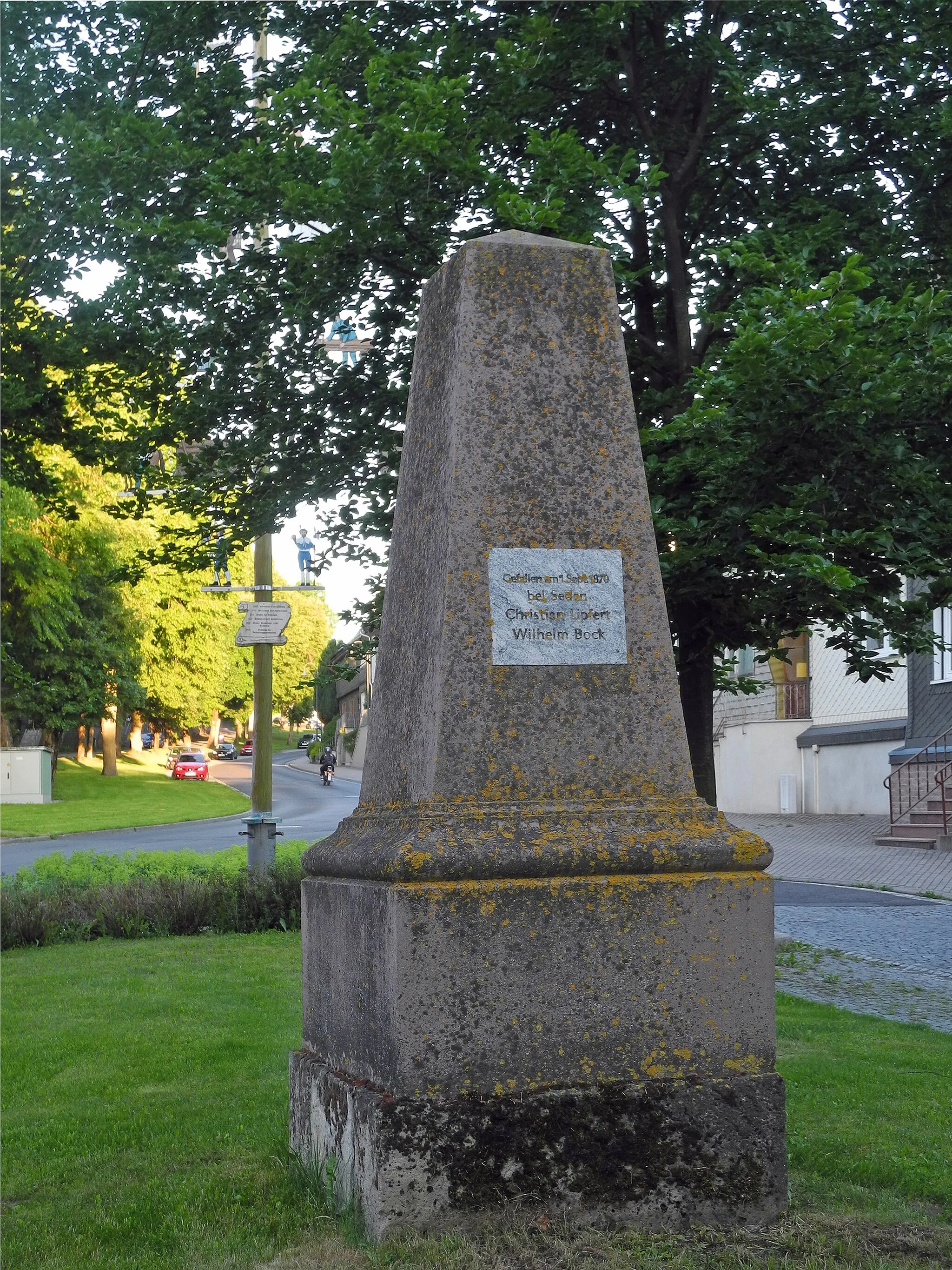
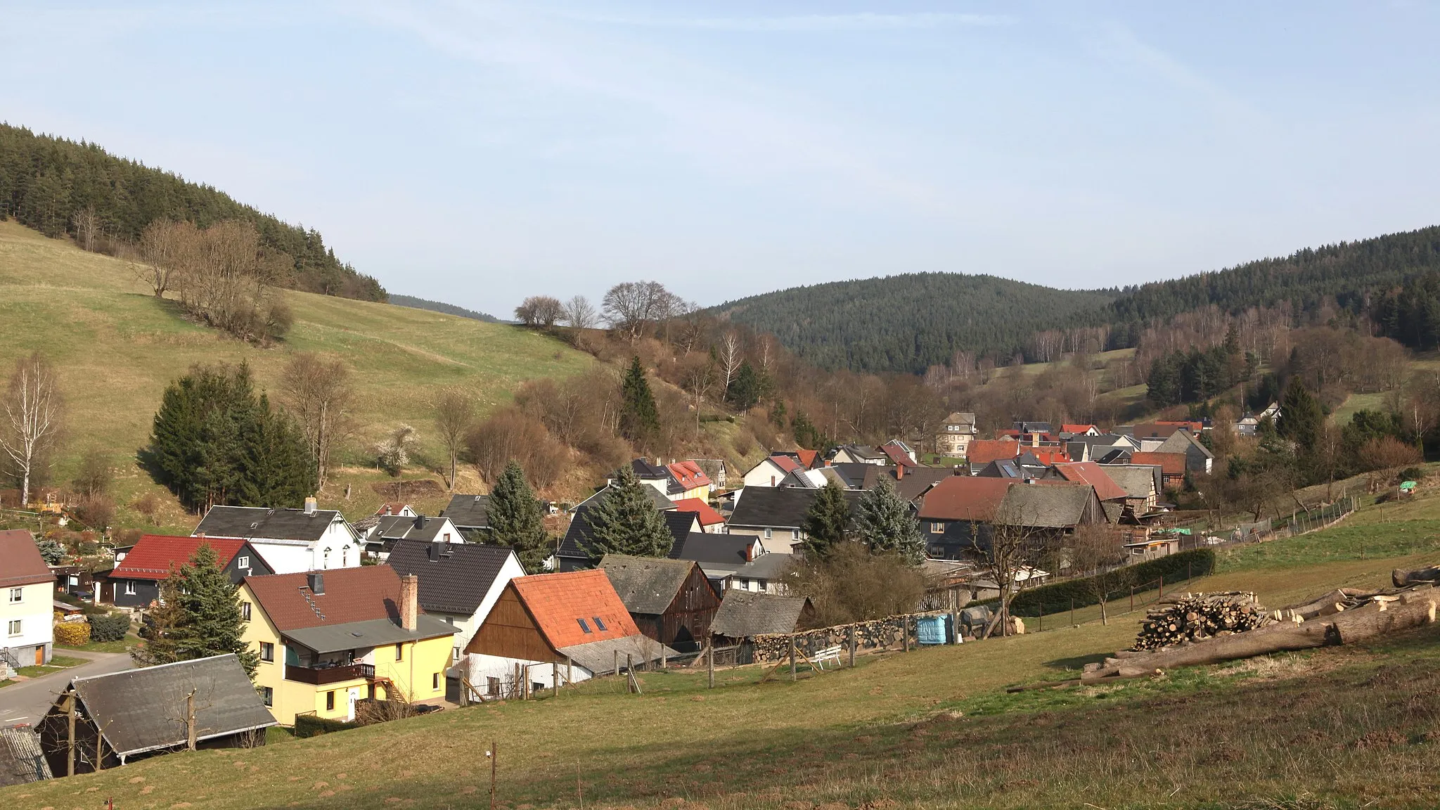
MeuraVillageMeura is a small village known for its traditional timber-framed houses
19 km
19 km
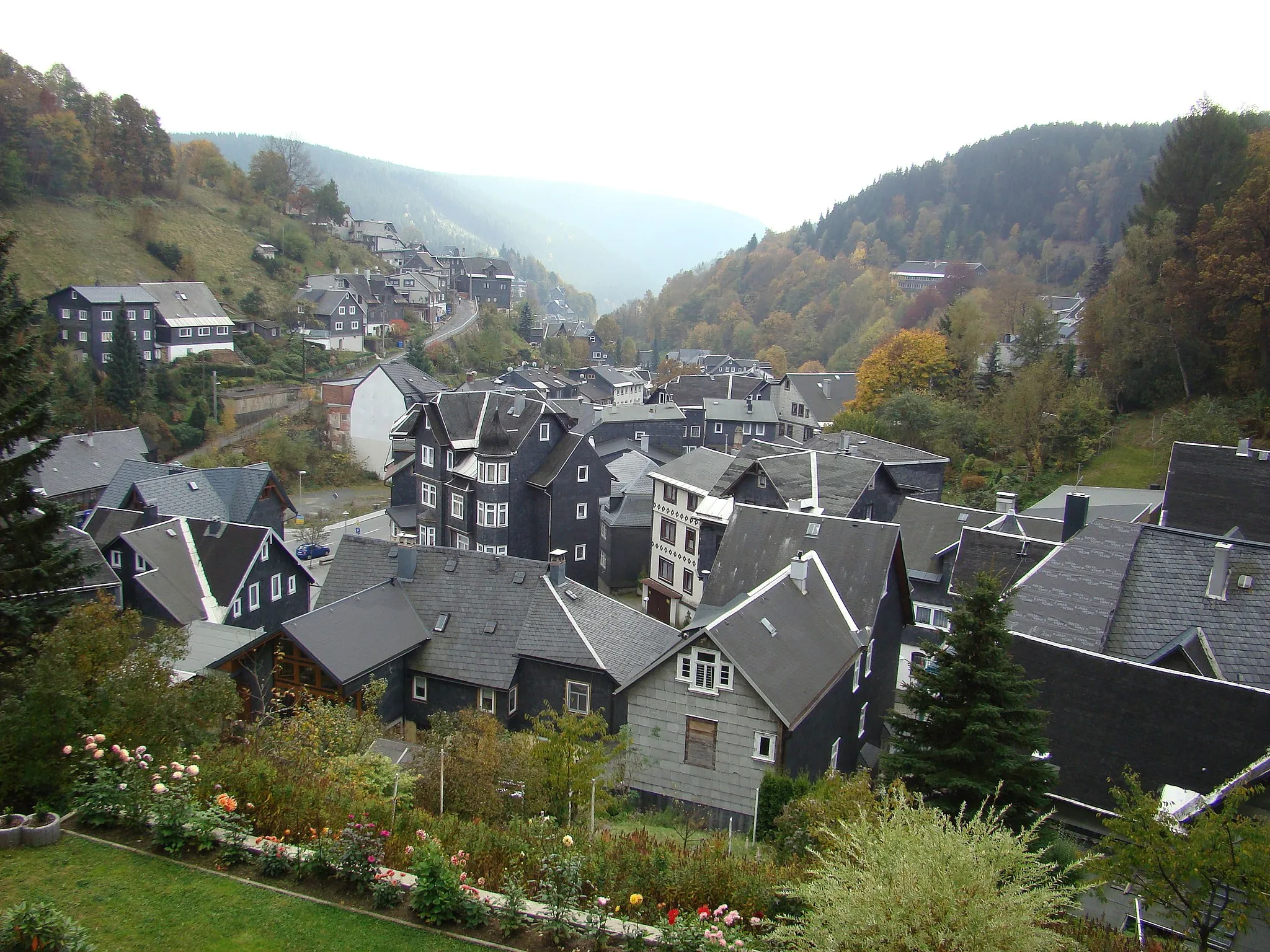
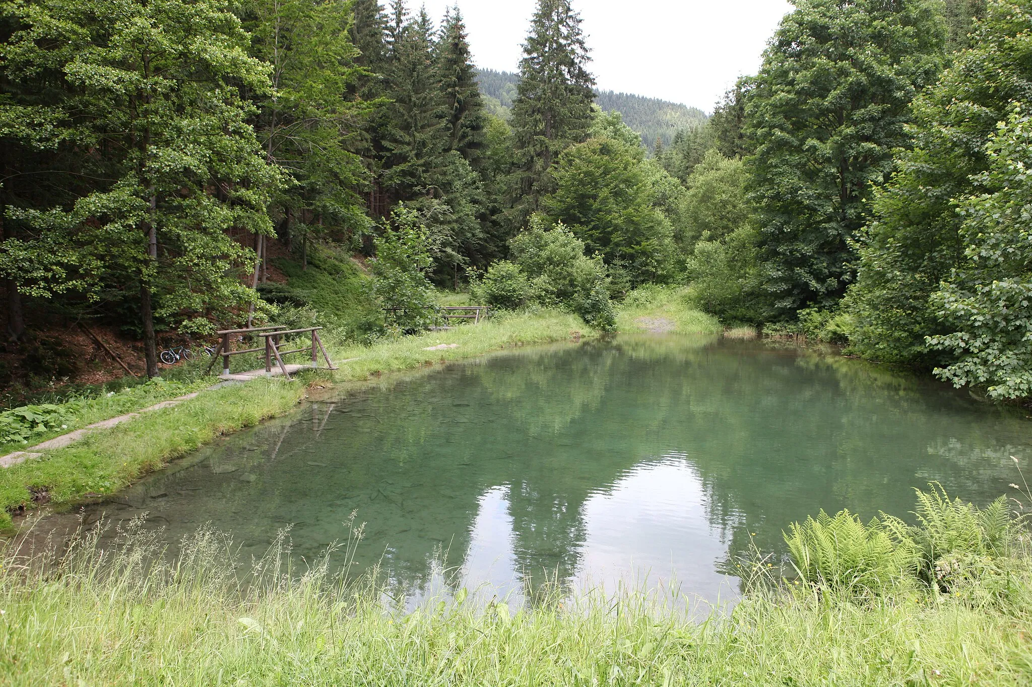
DöschnitzVillageDöschnitz offers a serene atmosphere with lush greenery and sparkling streams
32 km
32 km
Töpfersbühl763 mPeakTöpfersbühl is a challenging gravel trail through dense forests
37 km
37 km
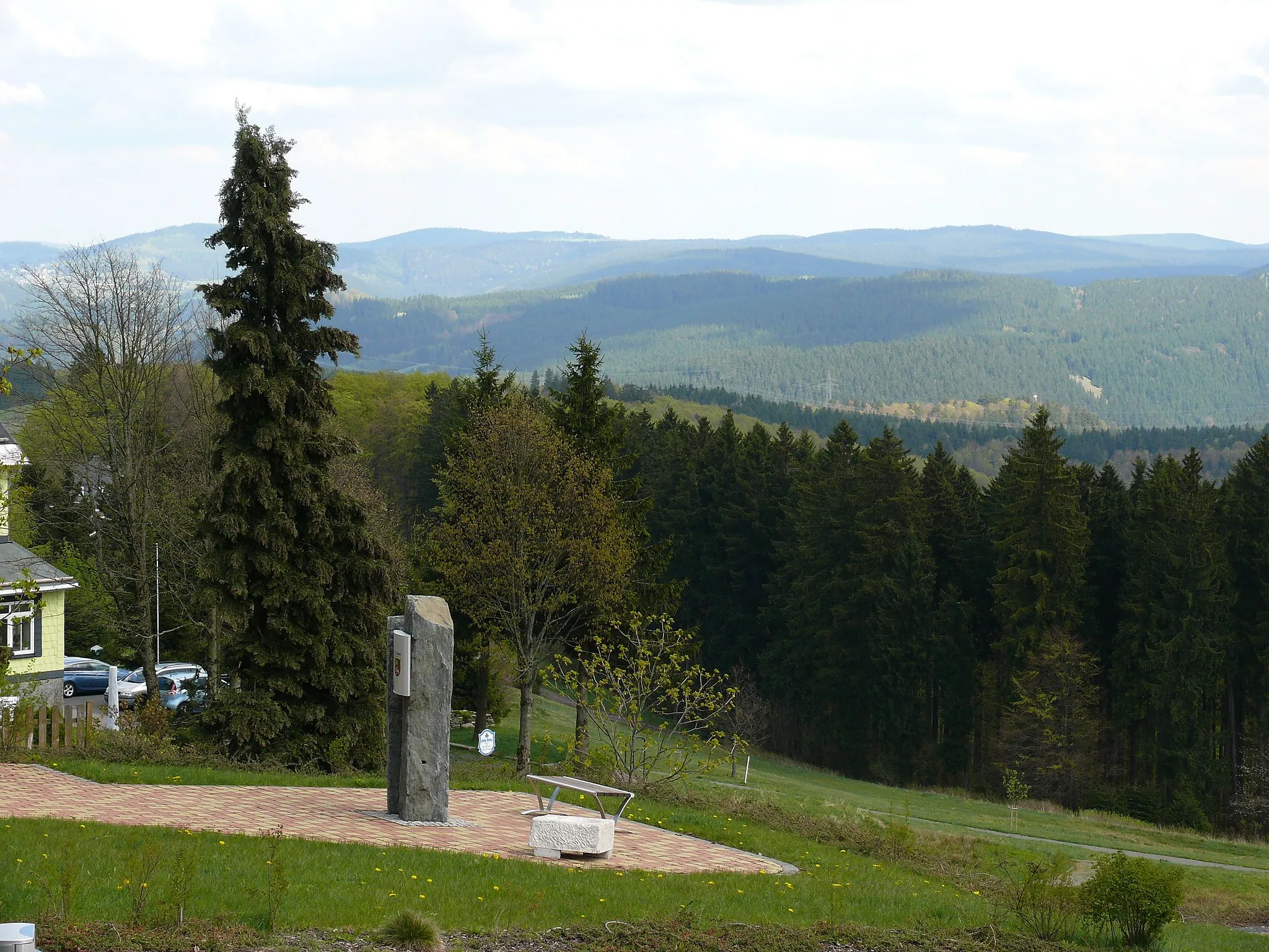
Rauhhügel802 mPeakRauhhügel provides a hilltop viewpoint of the surrounding landscapes
38 km
38 km
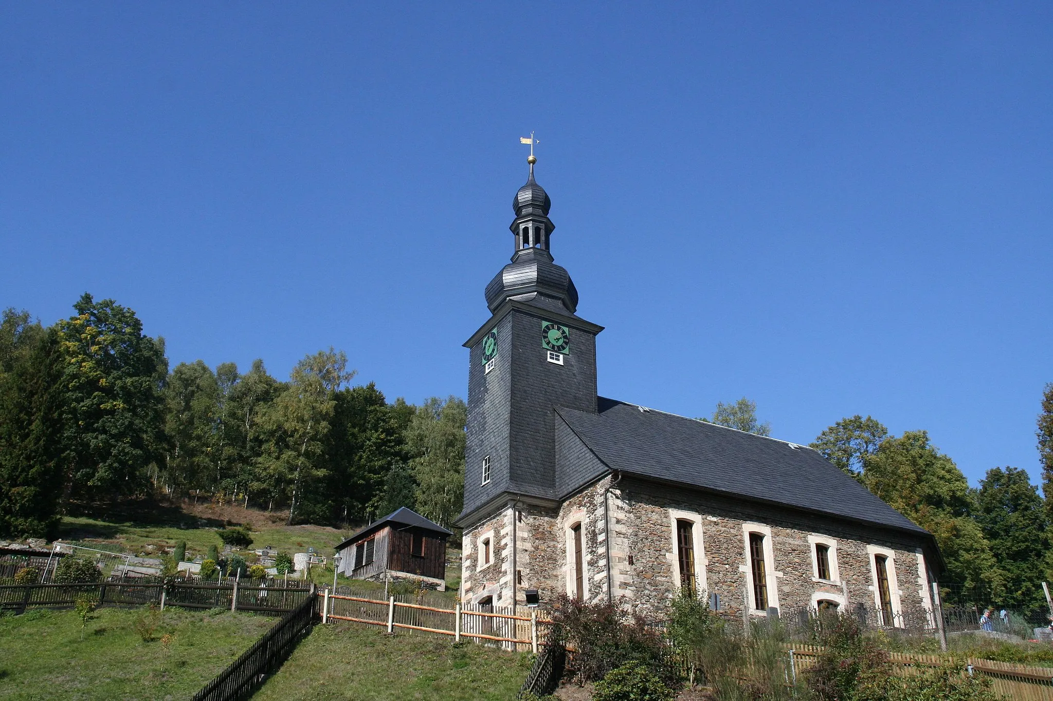
SchmiedefeldVillageSchmiedefeld is a village with traditional architecture and hiking trails
45 km
45 km
ErnstthalVillageErnstthal features picturesque vistas and a serene ambiance
47 km
47 km
Bornhügel846 mPeakBornhügel offers challenging gravel trails for experienced cyclists
48 km
48 km
Finish: Neuhaus am Rennweg City centerNeuhaus am Rennweg: Cycle through scenic landscapes and immerse yourself in nature in Neuhaus am Rennweg.
Cycling routes nearby: