The Rennsteig Route
A road cycling route starting from Neuhaus am Rennweg
A scenic road cycling route through Thuringian Forest
Map
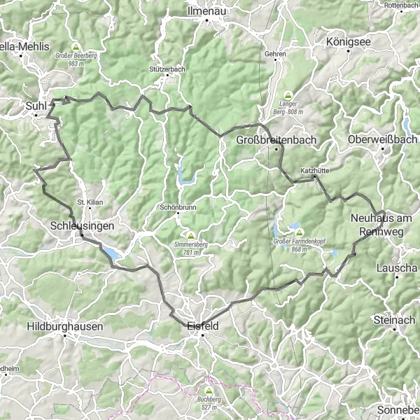
The Rennsteig Route is a stunning road cycling route that traverses the picturesque Thuringian Forest in Germany. With a total distance of 109 kilometers and an ascent of 1834 meters, this route offers a challenging and rewarding experience for cyclists. The route passes through several charming towns and villages, including Sandberg, Siegmundsburg, and Schleusingen. Cyclists can enjoy magnificent views of the countryside, as well as historic landmarks and cultural attractions along the way.
road
109 km
1834 m
Tough
Route profile
Highlights on the route
0 km
0 km
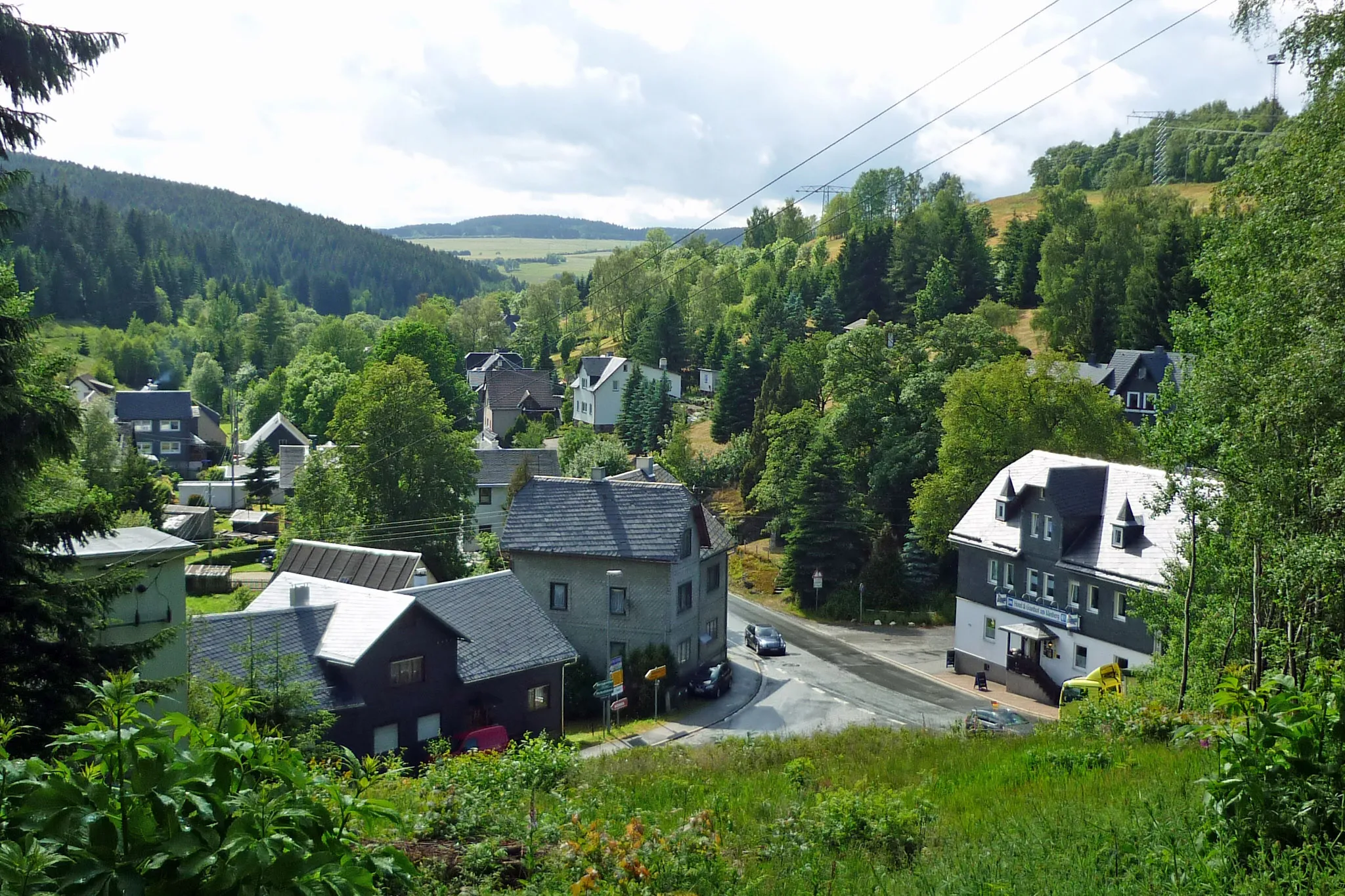
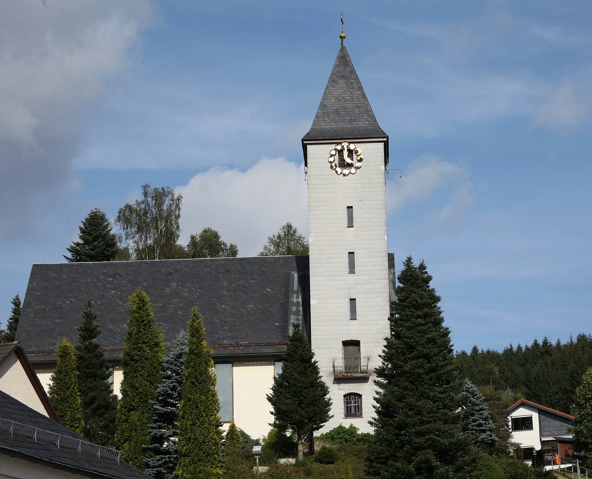
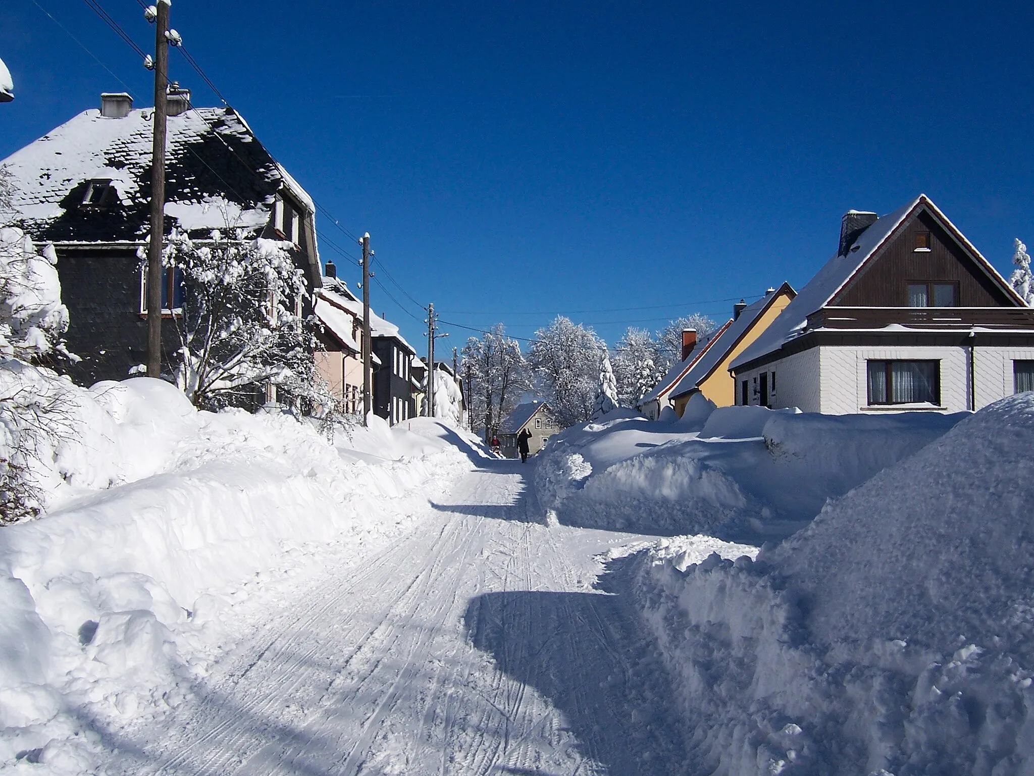
Start: Neuhaus am Rennweg City centerNeuhaus am Rennweg: Cycle through scenic landscapes and immerse yourself in nature in Neuhaus am Rennweg.
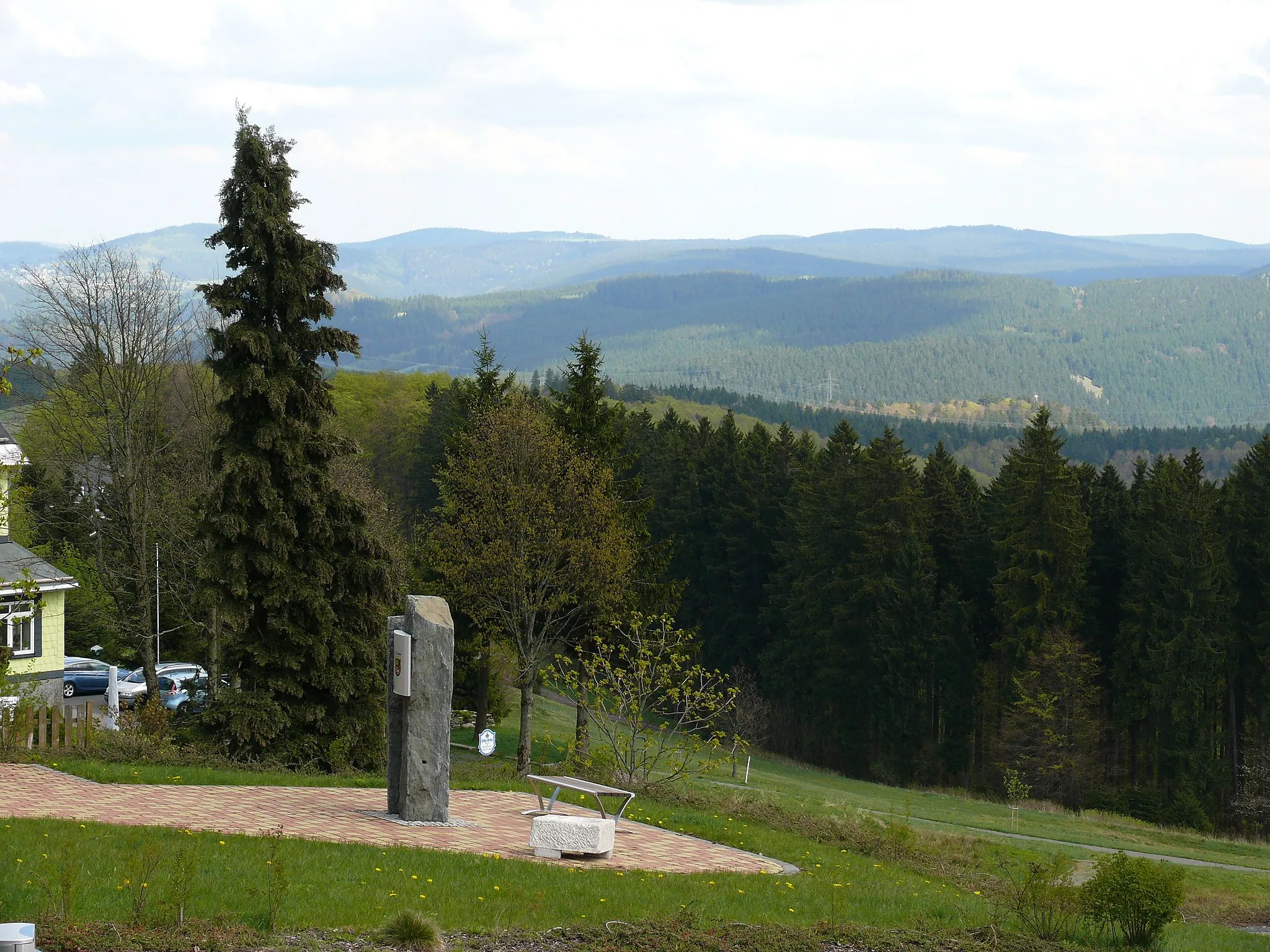
Neuhaus am Rennweg, located in Thüringen, Germany, offers moderate cycling opportunities for road and gravel cyclists. The region features picturesque landscapes, with rolling hills and dense forests. Cyclists can enjoy exploring the quiet country roads, although they might not find any particularly challenging climbs or famous cycling spots nearby. Nature enthusiasts will appreciate the diverse flora and fauna found in the area, with ample opportunities for hiking or birdwatching. Overall, Neuhaus am Rennweg provides a peaceful setting for cyclists looking to enjoy nature and take a leisurely ride.6 km
6 km
Sandberg834 mShelterSandberg offers a panoramic view of the surrounding landscape
10 km
10 km
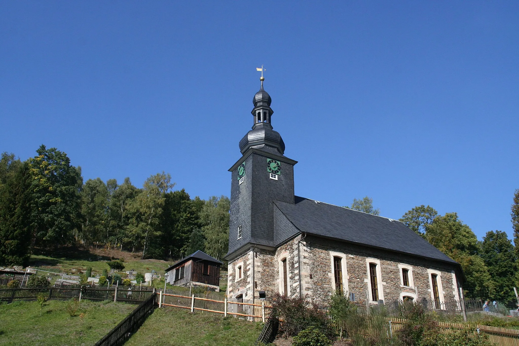
SiegmundsburgVillageSiegmundsburg is home to a medieval castle
19 km
19 km
SachsenbrunnVillageSachsenbrunn is known for its traditional timber-frame houses
33 km
33 km
Landwehr456 mPeakLandwehr features a historic defensive wall
40 km
40 km
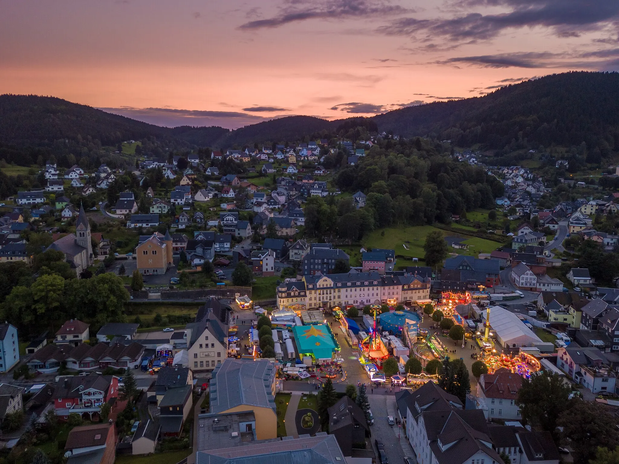
SchleusingenTownSchleusingen is famous for its Renaissance castle
47 km
47 km
Donnersberg625 mPeakDonnersberg is a popular hiking spot
67 km
67 km
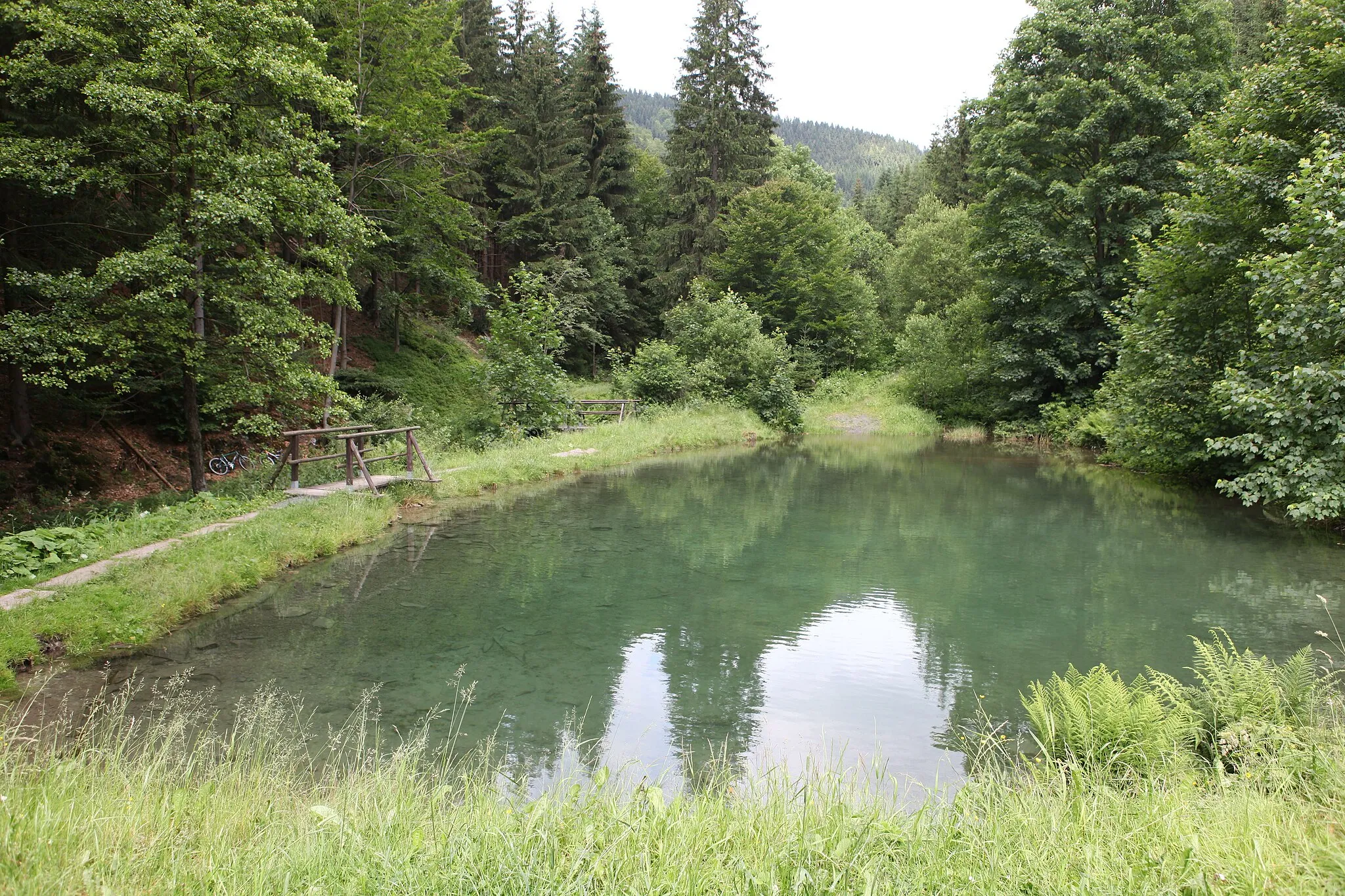
Großer Eisenberg907 mPeakGroßer Eisenberg is a nature reserve with diverse flora and fauna
71 km
71 km
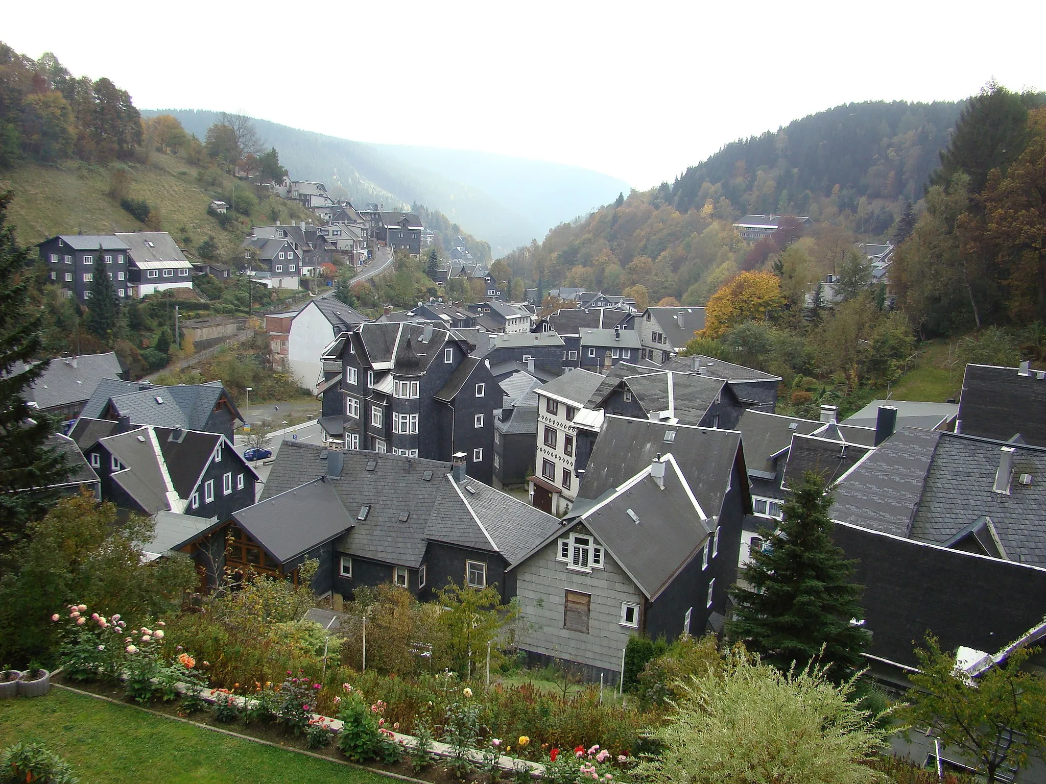
Schmiedefeld am RennsteigVillageSchmiedefeld am Rennsteig is situated along the famous Rennsteig hiking trail
79 km
79 km
Großer Dreiherrnstein838 mPeakGroßer Dreiherrnstein is the highest peak in the region
90 km
90 km
GroßbreitenbachTownGroßbreitenbach is known for its traditional crafts and folk culture
97 km
97 km
KatzhütteVillageKatzhütte is home to a historic glass factory
101 km
101 km
Lindigkopf739 mPeakLindigkopf offers stunning views of the surrounding mountains
109 km
109 km
Finish: Neuhaus am Rennweg City centerNeuhaus am Rennweg: Cycle through scenic landscapes and immerse yourself in nature in Neuhaus am Rennweg.
Cycling routes nearby: