Gravel Adventure near Römhild
A gravel cycling route starting from Roemhild
An exciting 79 km gravel cycling adventure near Römhild
Map

Take your gravel bike for an adventurous ride through varied terrain on this 79 km route near Römhild. With 1,343 meters of total ascent, it offers a challenging experience for experienced cyclists. Highlights include the tranquil village of Haina, the scenic views from Platte, and the exhilarating climb up Ermelsberg. With its diverse landscapes and off-road sections, this route is perfect for gravel enthusiasts seeking a thrilling cycling adventure.
gravel
79 km
1343 m
Savage
Route profile
Highlights on the route
0 km
0 km
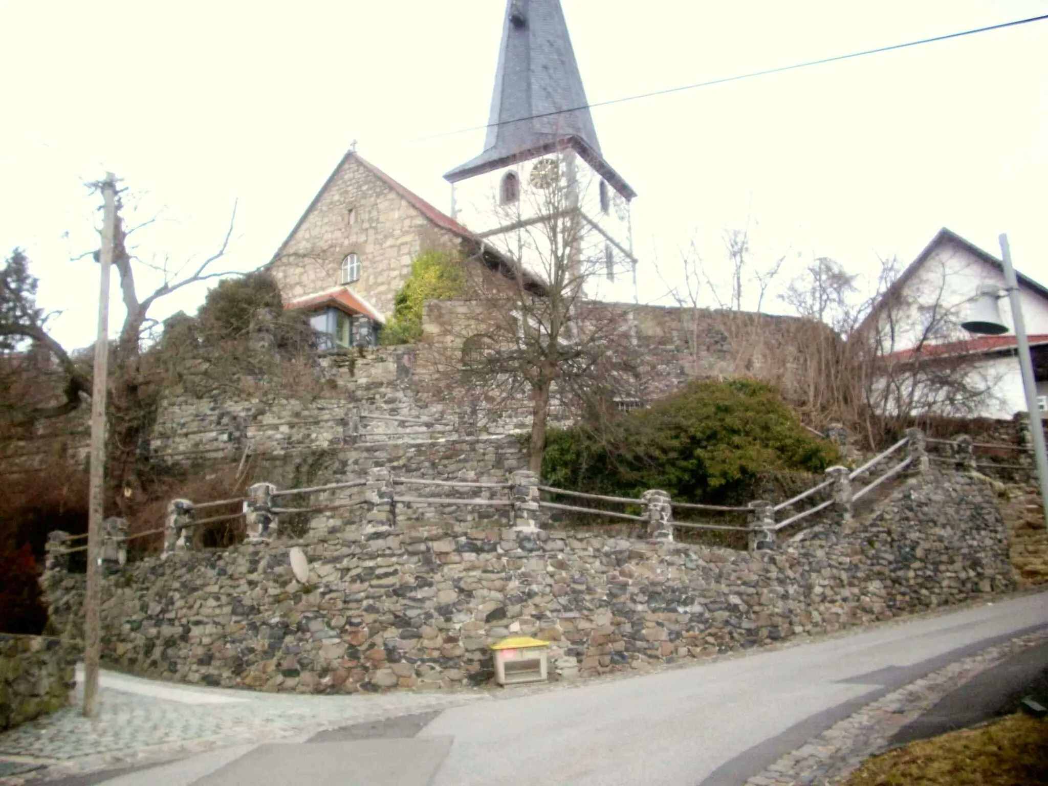
Start: Römhild Village centerRömhild: Explore Thuringian Forest by bike.
Römhild, located in Thüringen, Germany, is a fantastic locality for road and gravel cycling. The region is known for its well-maintained cycling infrastructure and diverse terrain, which caters to all types of cyclists. One of the highlights for road cyclists is the Rennsteig Cycle Path, an iconic route that traverses the Thuringian Forest and offers breathtaking views. For gravel enthusiasts, the Waldsassen Trail provides an exciting off-road experience through dense forests and rolling hills. With its scenic beauty and challenging routes, Römhild is a paradise for cycling enthusiasts.2 km
2 km
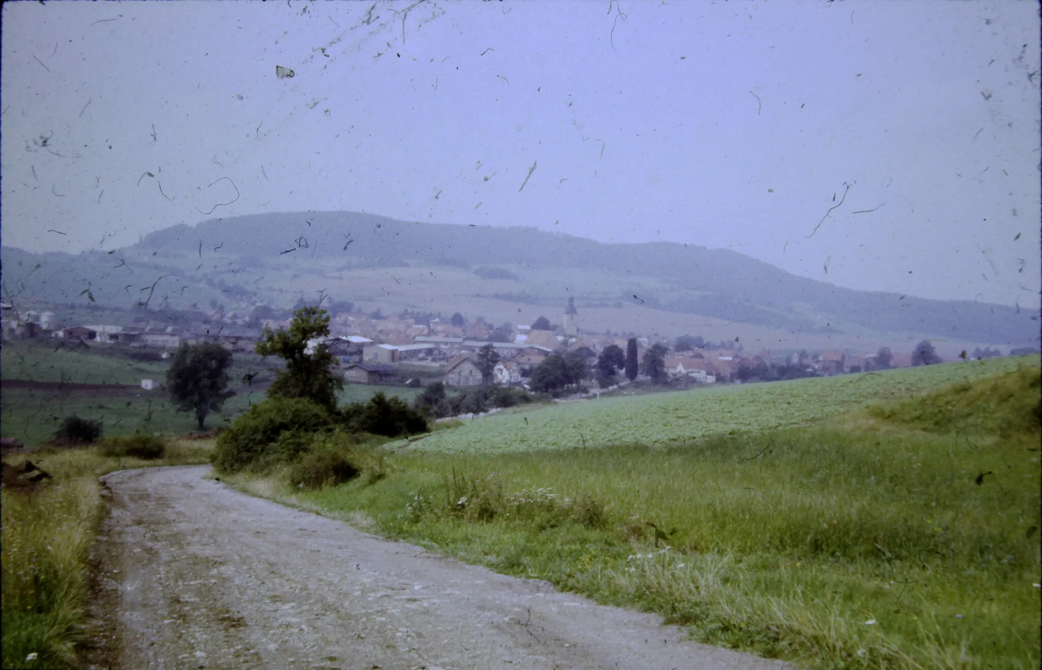
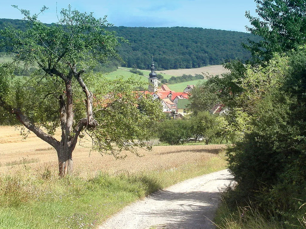
HainaVillageExplore the idyllic village of Haina and admire its charming rural landscapes.
5 km
5 km
Platte501 mPeakStop by Platte and take in the breathtaking views of the surrounding countryside.
15 km
15 km
NeubrunnVillageChallenge yourself with the climb up Neubrunn and savor the incredible panoramic vistas.
17 km
17 km
Klauenberg458 mPeakExperience the adrenaline rush of descending Klauenberg, a thrilling gravel segment.
32 km
32 km
SchwarzaVillageDare to conquer Schwarza, a challenging uphill stretch known for its rugged beauty.
38 km
38 km
Schorn574 mPeak56 km
56 km
BischofrodVillagePass through Bischofrod and immerse yourself in its picturesque rural setting.
61 km
61 km
Apfelberg469 mPeakClimb the scenic Apfelberg and enjoy stunning views of the surrounding countryside.
72 km
72 km
Ermelsberg515 mPeakScale the rocky terrain of Ermelsberg and experience a thrilling off-road adventure.
79 km
79 km
RömhildVillageBegin and end your ride in Römhild, a charming town steeped in history and culture.
79 km
79 km
Finish: Römhild Village centerRömhild: Explore Thuringian Forest by bike.
Cycling routes from Roemhild:
Cycling routes nearby: