Römhild Countryside Ride
A road cycling route starting from Roemhild
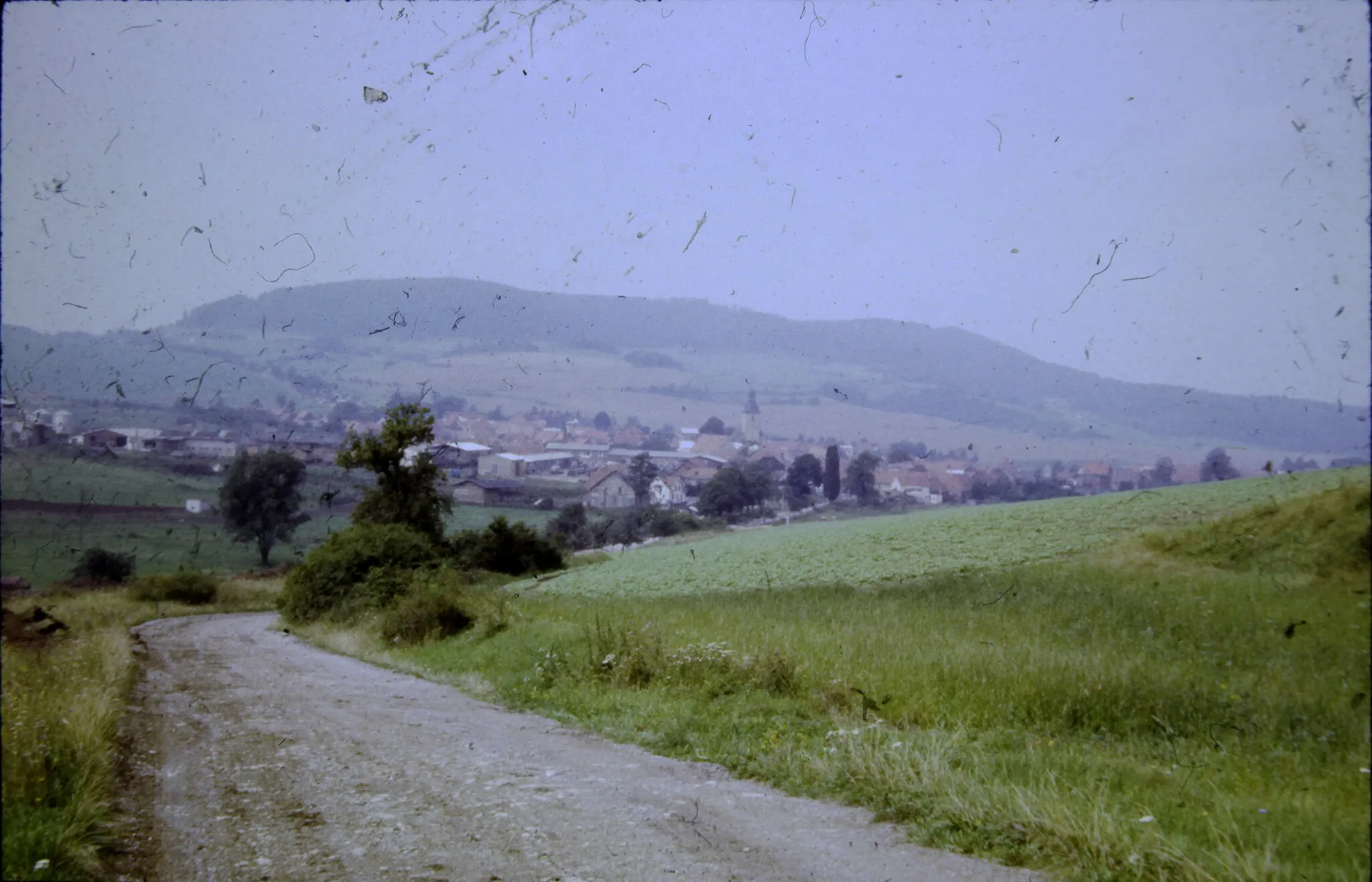
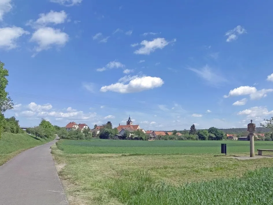
A scenic 65 km road cycling route through the beautiful countryside near Römhild
Map
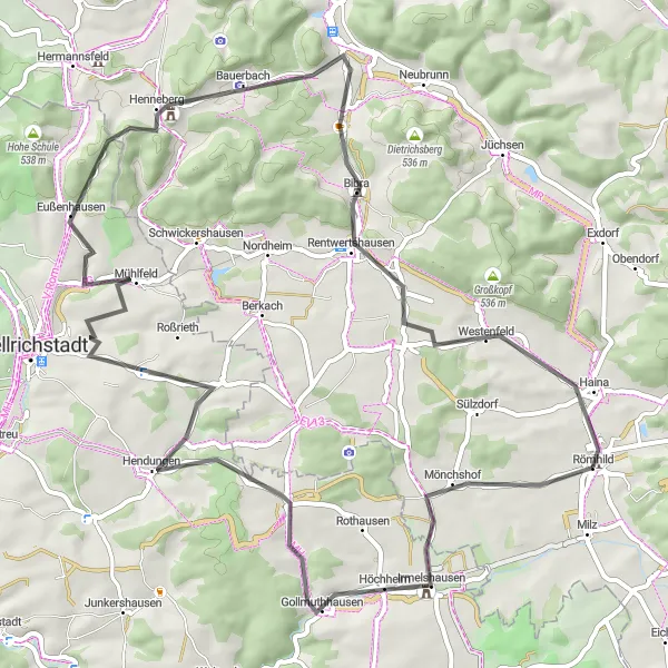
This road cycling route covers a distance of 65 km with a total ascent of 713 meters. The route offers stunning views of the surrounding countryside and passes through charming villages. Highlights include the panoramic views from Galgenberg, the historic town of Mendhausen, and the challenging climb up Hundsfelder Berg. With its moderate difficulty level and beautiful scenery, this route is perfect for intermediate cyclists.
road
65 km
713 m
Tough
Route profile
Highlights on the route
0 km
0 km
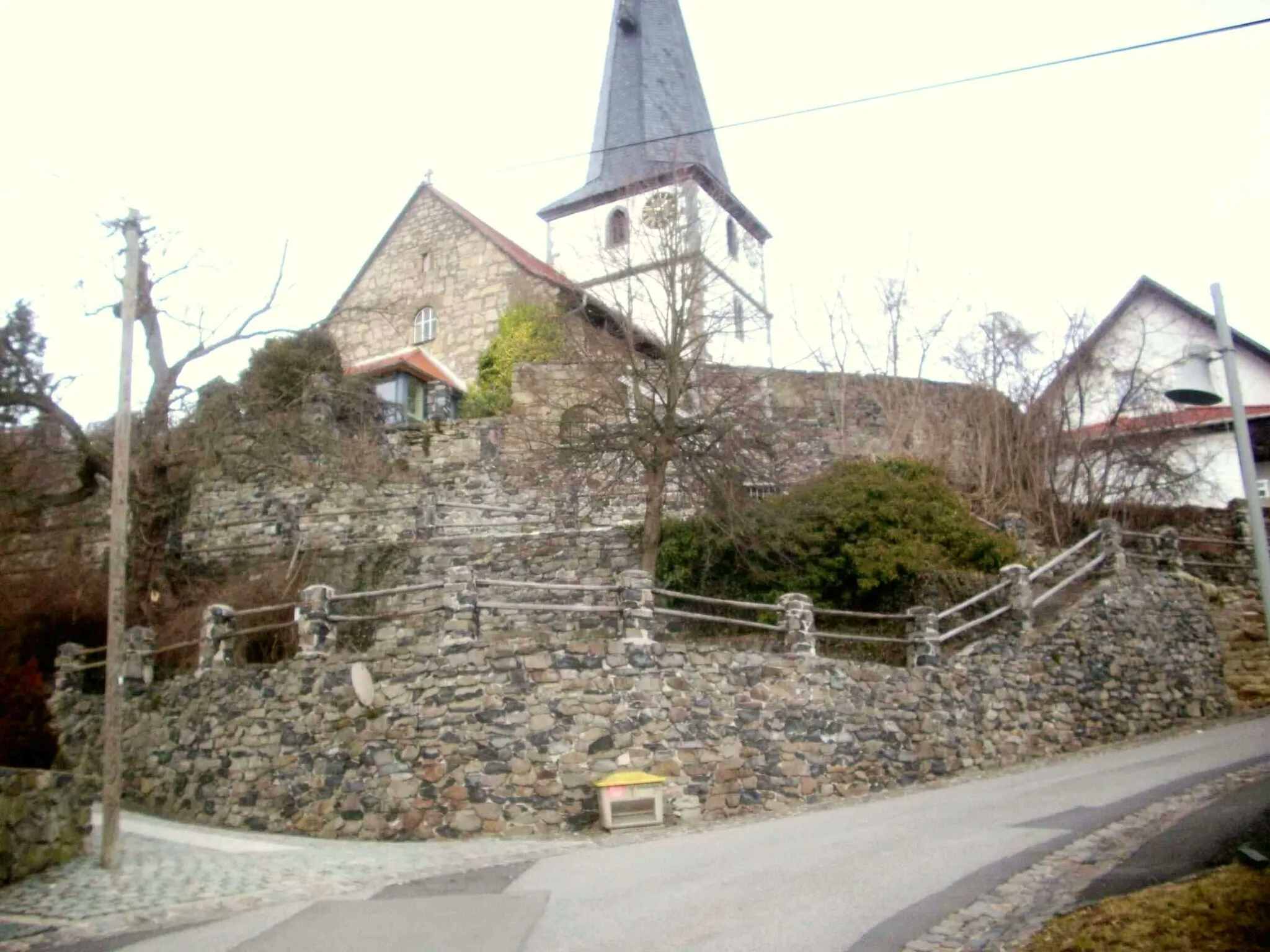
Start: Römhild Village centerRömhild: Explore Thuringian Forest by bike.
Römhild, located in Thüringen, Germany, is a fantastic locality for road and gravel cycling. The region is known for its well-maintained cycling infrastructure and diverse terrain, which caters to all types of cyclists. One of the highlights for road cyclists is the Rennsteig Cycle Path, an iconic route that traverses the Thuringian Forest and offers breathtaking views. For gravel enthusiasts, the Waldsassen Trail provides an exciting off-road experience through dense forests and rolling hills. With its scenic beauty and challenging routes, Römhild is a paradise for cycling enthusiasts.0 km
0 km
Galgenberg305 mPeakDon't miss the breathtaking panoramic views from Galgenberg.
6 km
6 km
MendhausenVillageExplore the historical town of Mendhausen and learn about its fascinating past.
11 km
11 km
Hundsfelder Berg358 mPeakTake on the challenging climb up Hundsfelder Berg and enjoy the rewarding views from the top.
20 km
20 km
HendungenVillagePass through Hendungen, a charming village known for its architectural beauty.
35 km
35 km
EußenhausenVillageVisit Eußenhausen and admire its well-preserved traditional buildings.
37 km
37 km
Elmbacher Berg508 mPeakChallenge yourself with the ascent of Elmbacher Berg, known for its steep gradients and breathtaking scenery.
45 km
45 km
Zehnerberg465 mPeakStop by Zehnerberg and take in the peaceful atmosphere of this idyllic spot.
48 km
48 km
WölfershausenVillageMake a detour to Wölfershausen and discover its lovely rural charm.
59 km
59 km
WestenfeldVillagePass through Westenfeld, a village surrounded by rolling hills and picturesque landscapes.
61 km
61 km
Stöckigweinberg359 mPeakEnjoy the views from Stöckigweinberg, an overlook offering panoramic vistas of the countryside.
65 km
65 km
Finish: Römhild Village centerRömhild: Explore Thuringian Forest by bike.
Cycling routes from Roemhild:
Cycling routes nearby: