Ultimate Cycling Challenge near Römhild
A road cycling route starting from Roemhild
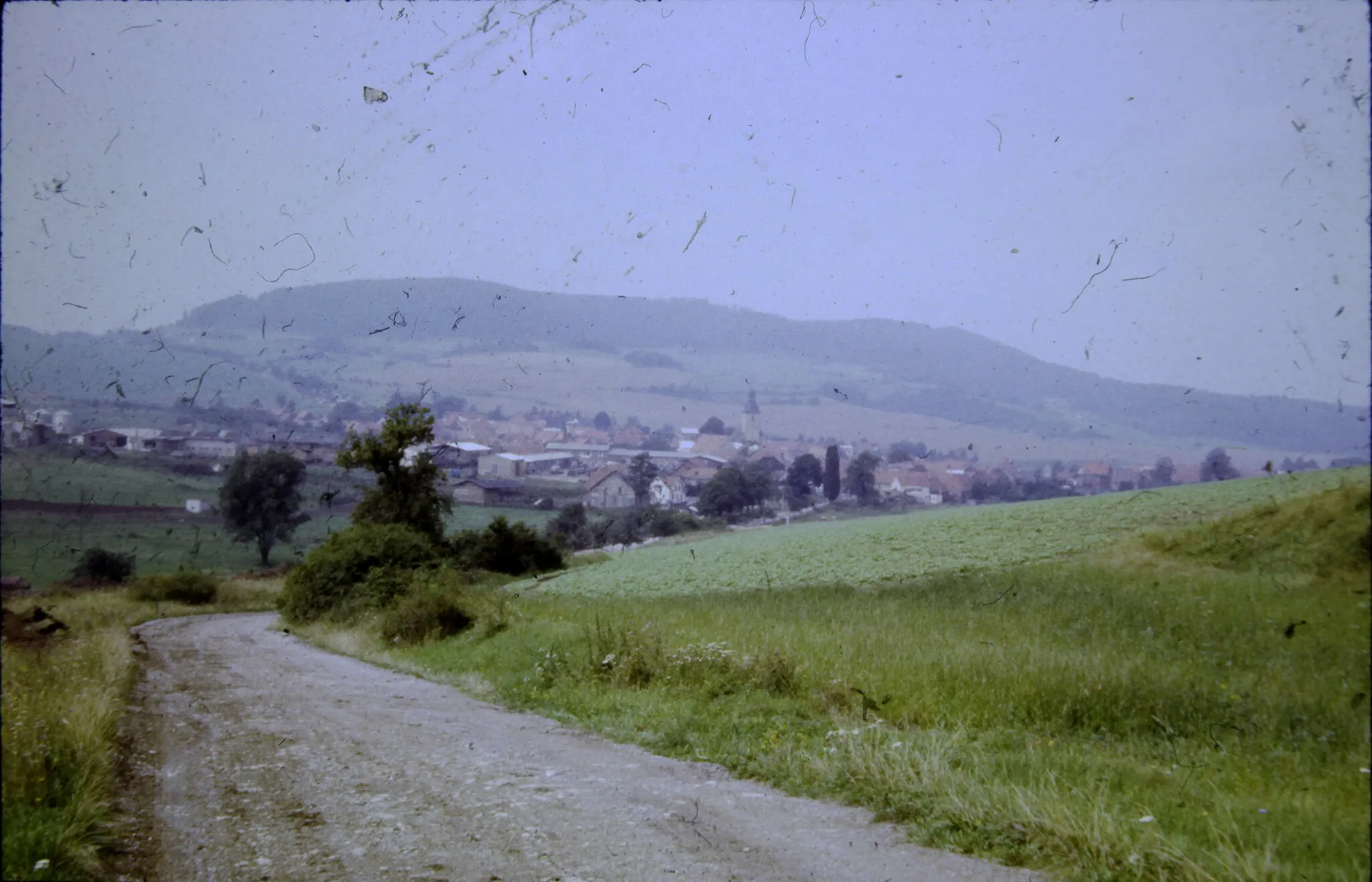
Experience an epic 120 km road cycling route with challenging climbs near Römhild
Map
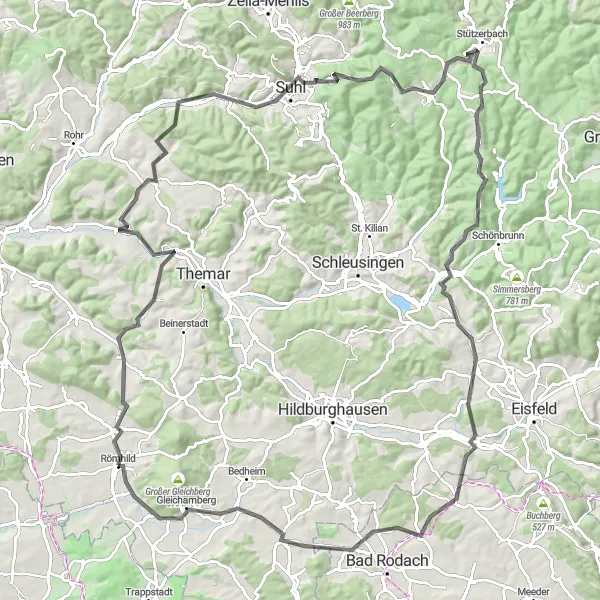
This challenging road cycling route covers a distance of 120 km with a staggering 1,731 meters of total ascent. It takes you through varied landscapes, including forested hills and picturesque valleys. Highlights include the climb up Großer Eisenberg, known for its historic significance and stunning vistas, and the captivating views from the Brünn viewpoint. This epic ride is recommended for experienced cyclists seeking a thrilling adventure and scenic beauty.
road
120 km
1731 m
Savage
Route profile
Highlights on the route
0 km
0 km
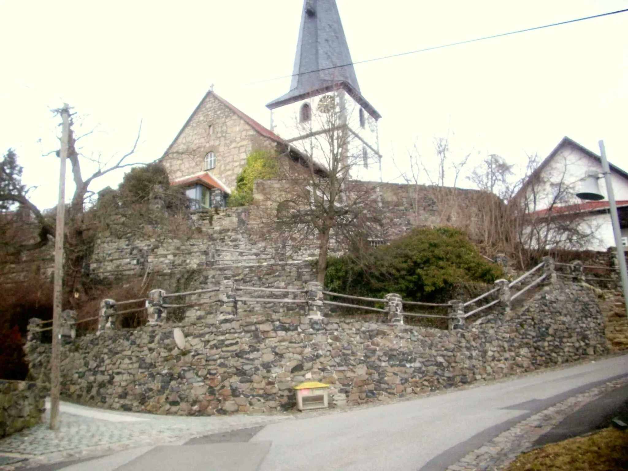
Start: Römhild Village centerRömhild: Explore Thuringian Forest by bike.
Römhild, located in Thüringen, Germany, is a fantastic locality for road and gravel cycling. The region is known for its well-maintained cycling infrastructure and diverse terrain, which caters to all types of cyclists. One of the highlights for road cyclists is the Rennsteig Cycle Path, an iconic route that traverses the Thuringian Forest and offers breathtaking views. For gravel enthusiasts, the Waldsassen Trail provides an exciting off-road experience through dense forests and rolling hills. With its scenic beauty and challenging routes, Römhild is a paradise for cycling enthusiasts.2 km
2 km
HainaVillageExplore the peaceful village of Haina and its charming rural landscapes.
5 km
5 km
Eisenhügel438 mPeakClimb the challenging Eisenhügel and enjoy panoramic views of the surrounding area.
16 km
16 km
HenfstädtVillagePass through Henfstädt and marvel at its traditional architecture and rural charm.
28 km
28 km
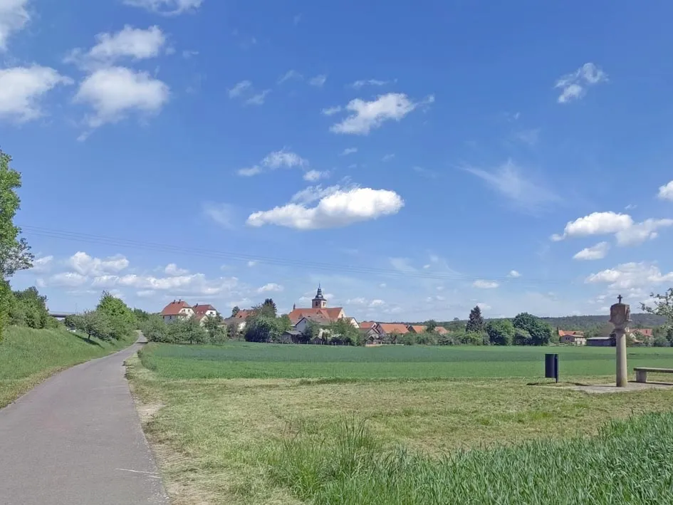
SchmeheimVillageTake in the panoramic views from Schmeheim, a must-visit spot for nature enthusiasts.
41 km
41 km
Domberg675 mPeakChallenge yourself with the climb up Domberg, a legendary ascent with steep gradients.
50 km
50 km
Großer Eisenberg907 mPeakConquer the iconic Großer Eisenberg and experience breathtaking views from its summit.
54 km
54 km
Schmiedefeld am RennsteigVillageMarvel at the natural beauty of Schmiedefeld am Rennsteig and enjoy its peaceful ambiance.
65 km
65 km
FrauenwaldVillageCycle through Frauenwald and let yourself be captivated by its tranquil atmosphere.
71 km
71 km
Kalter Staudenkopf768 mPeakTest your cycling skills on the challenging Kalter Staudenkopf, a true cycling gem.
84 km
84 km
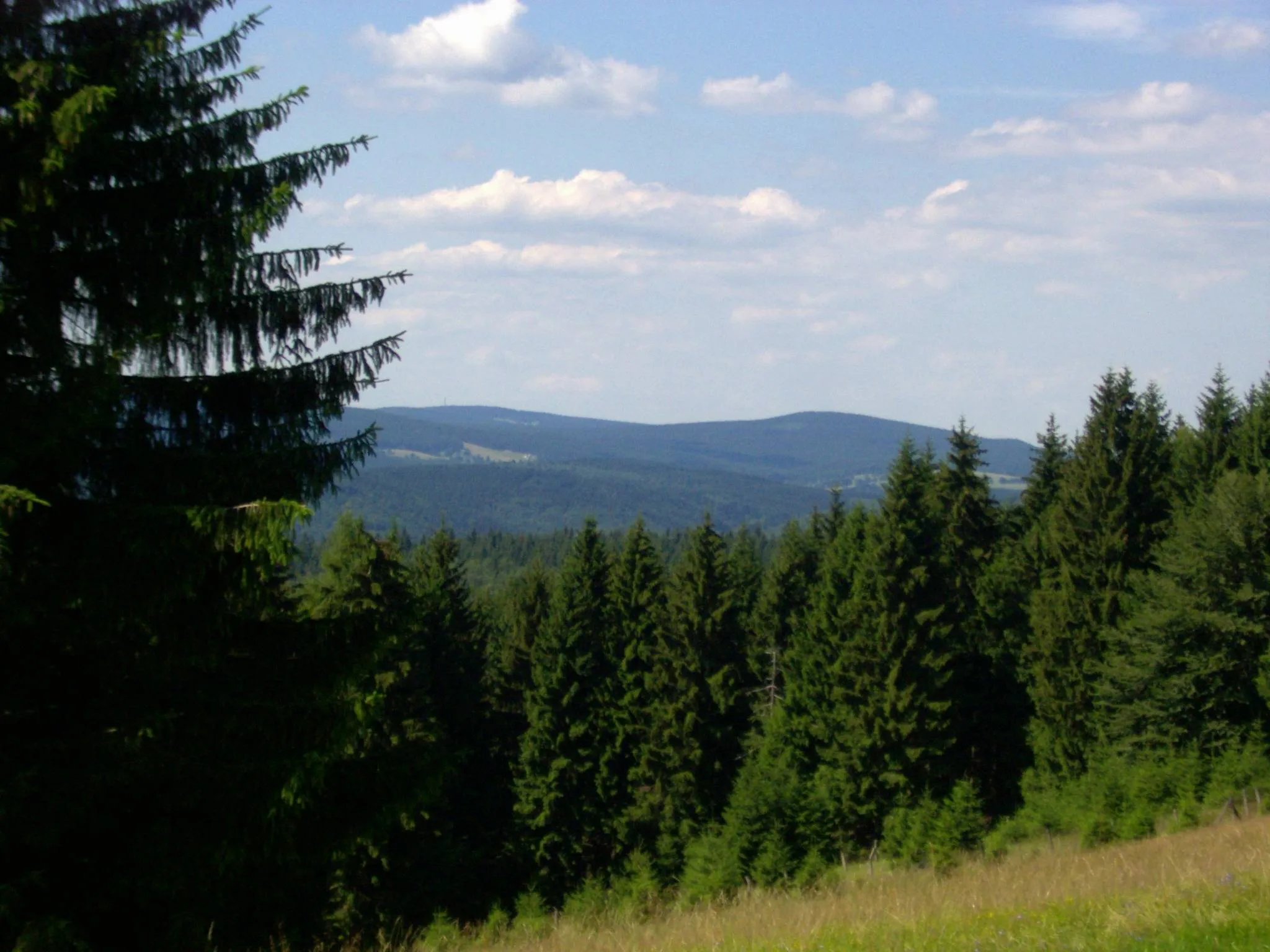
BrünnVillageAdmire the scenic views from Brünn and take a well-deserved break at this stunning viewpoint.
89 km
89 km
Walleskuppe513 mPeakConquer the legendary Walleskuppe, a must-visit spot for any cycling enthusiast.
105 km
105 km
Hopfenberg352 mPeakChallenge your climbing abilities with the stunning ascent of Hopfenberg.
113 km
113 km
GleichambergVillageCelebrate your epic ride by cycling through the charming town of Gleichamberg.
120 km
120 km
Finish: Römhild Village centerRömhild: Explore Thuringian Forest by bike.
Cycling routes from Roemhild:
Cycling routes nearby: