Challenging Gravel Ride Around Römhild
A gravel cycling route starting from Roemhild
Take on the challenge of this epic gravel ride with breathtaking views around Römhild.
Map
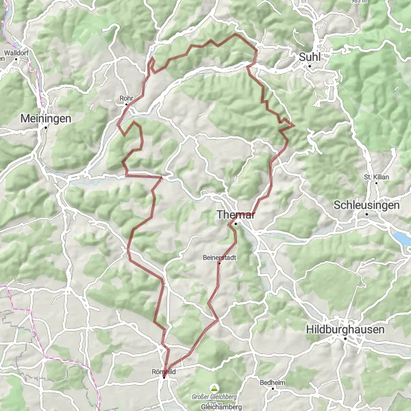
The challenging gravel ride around Römhild covers a distance of 84 kilometers and includes an ascent of 1513 meters, making it a thrilling adventure for experienced cyclists. The highlights of this epic ride include Haina, known for its serene landscapes and beautiful views. Platte offers a steep challenge and stunning panoramic views, while Belrieth captivates with its picturesque setting. Pelzkopf provides a unique highlight with its rugged terrain and breathtaking vistas. Schneeberg, Themar, and Schwabhäuser Berg showcase the diversity of the region, with their stunning natural beauty and captivating landscapes. The ride concludes in Römhild, allowing cyclists to relax and explore its charming streets and local attractions.
gravel
84 km
1513 m
Savage
Route profile
Highlights on the route
0 km
0 km
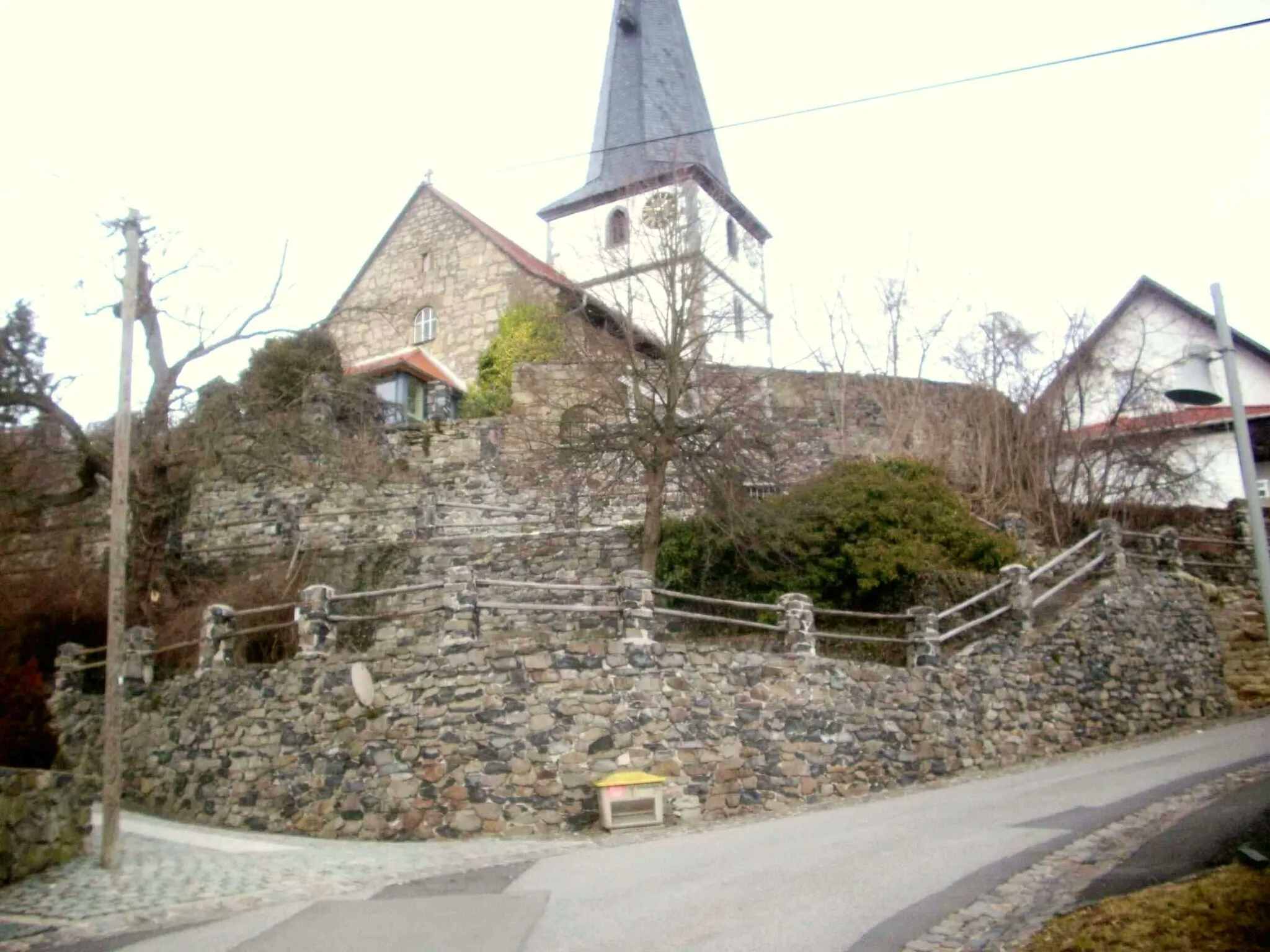
Start: Römhild Village centerRömhild: Explore Thuringian Forest by bike.
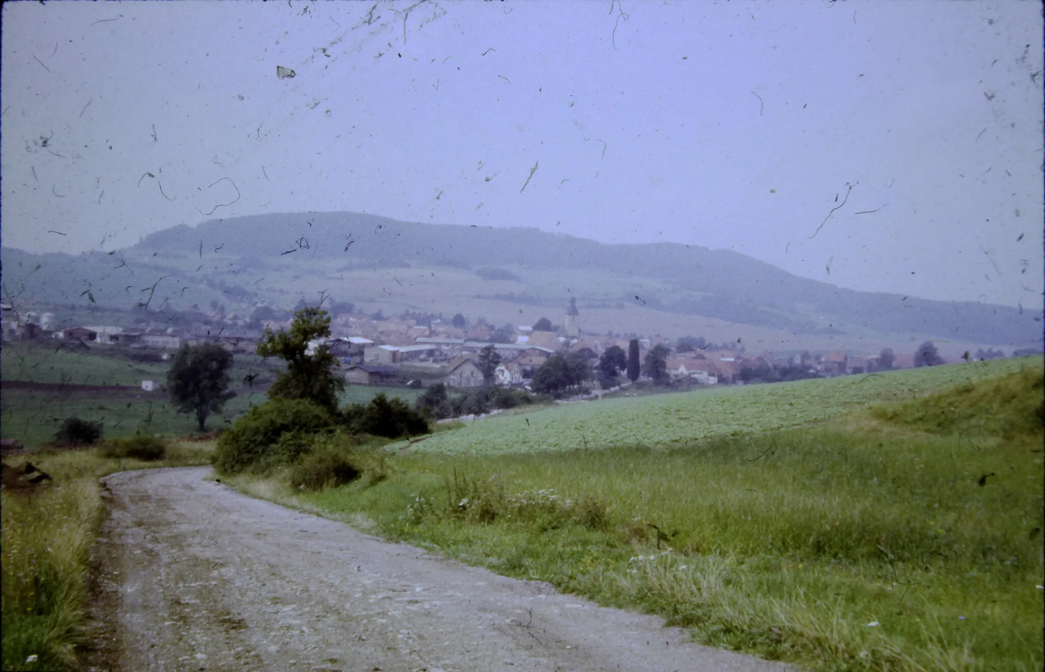
Römhild, located in Thüringen, Germany, is a fantastic locality for road and gravel cycling. The region is known for its well-maintained cycling infrastructure and diverse terrain, which caters to all types of cyclists. One of the highlights for road cyclists is the Rennsteig Cycle Path, an iconic route that traverses the Thuringian Forest and offers breathtaking views. For gravel enthusiasts, the Waldsassen Trail provides an exciting off-road experience through dense forests and rolling hills. With its scenic beauty and challenging routes, Römhild is a paradise for cycling enthusiasts.2 km
2 km
HainaVillageExperience the serene landscapes and beautiful views of Haina.
5 km
5 km
Platte501 mPeakConquer the challenging climb up Platte for breathtaking panoramic views.
21 km
21 km
BelriethVillageEnjoy the picturesque setting of Belrieth along the route.
41 km
41 km
Pelzkopf544 mPeakTake on the rugged terrain and enjoy the breathtaking vistas from Pelzkopf.
59 km
59 km
Schneeberg692 mPeakDiscover the natural beauty of Schneeberg with its stunning landscapes.
61 km
61 km
Eichenberg614 mVillageVisit Eichenberg and experience its captivating beauty.
68 km
68 km
ThemarTownExplore the stunning landscapes and natural beauty of Themar.
79 km
79 km
Schwabhäuser Berg511 mPeakConquer the challenge of Schwabhäuser Berg with its epic views.
84 km
84 km
Finish: Römhild Village centerRömhild: Explore Thuringian Forest by bike.
Cycling routes from Roemhild:
Cycling routes nearby: