Gravel Adventure
A gravel cycling route starting from Dietenheim
Embark on an exciting gravel adventure around Dietenheim.
Map
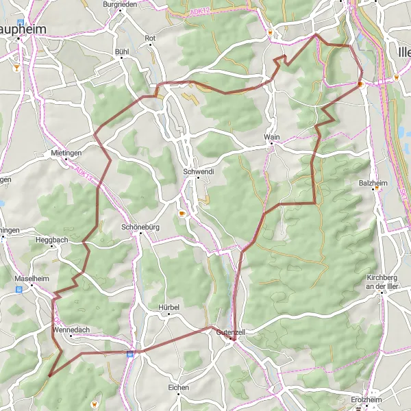
This gravel cycling route starting near Dietenheim offers a 54 km-long adventure with an ascent of 748 meters. The trail takes you through Niedernzell, Reinstetten, Walpertshofen, and finally back to Dietenheim. If you're a gravel enthusiast seeking new challenges, this route will delight you with its varying terrains and scenic landscapes. Highlights along the route include Niedernzell, where you can discover the tranquility of the countryside, and Walpertshofen, known for its charming rural charm and traditional architecture.
gravel
54 km
748 m
Tough
Route profile
Highlights on the route
0 km
0 km
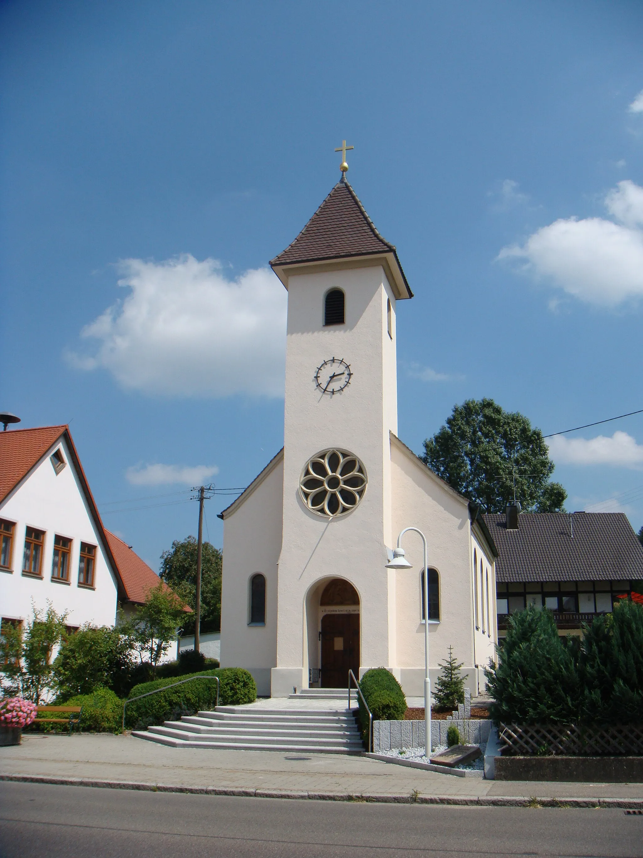
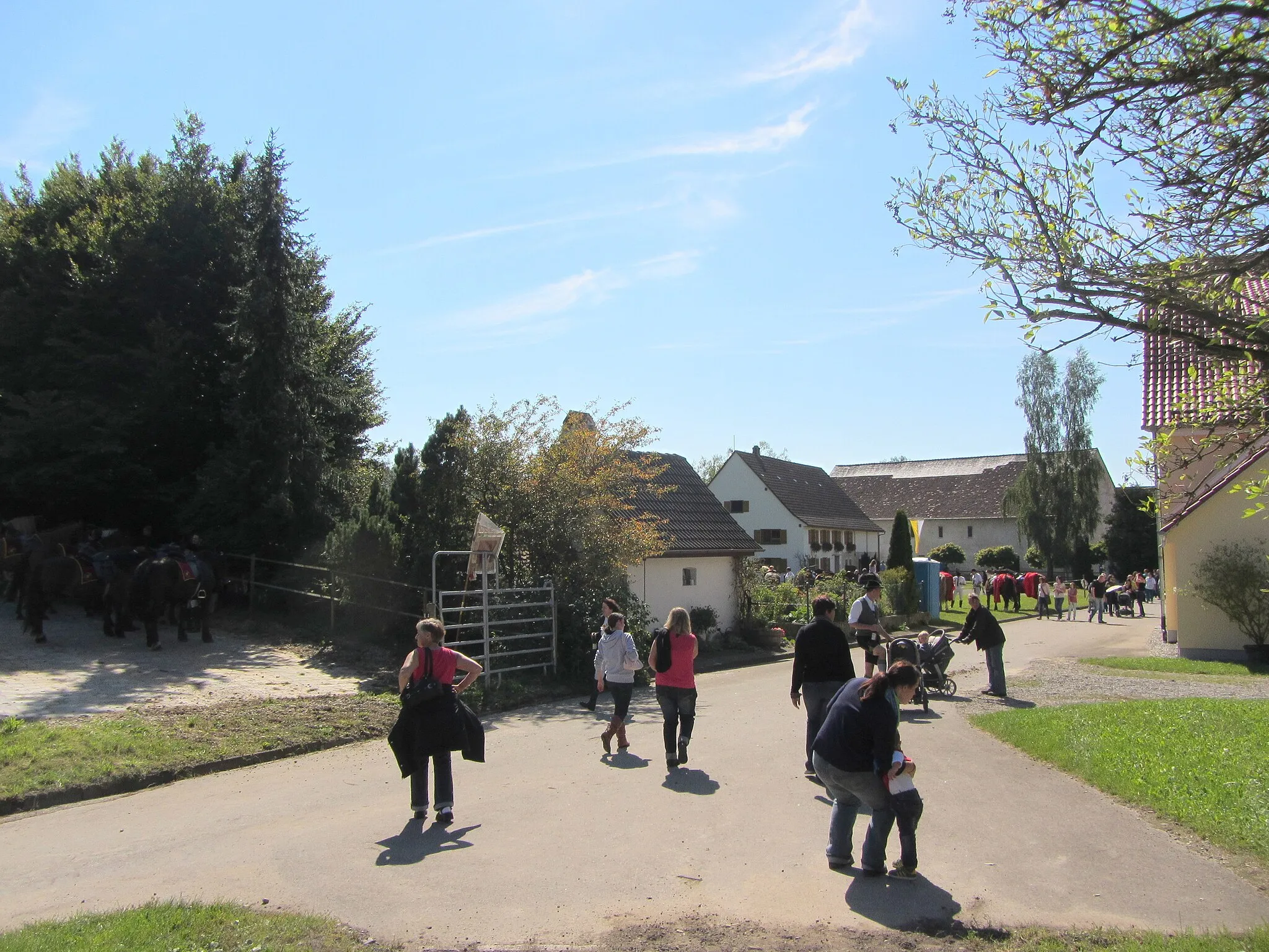
Start: Dietenheim City centerDietenheim: Discover the charming countryside of Dietenheim on scenic cycling routes.
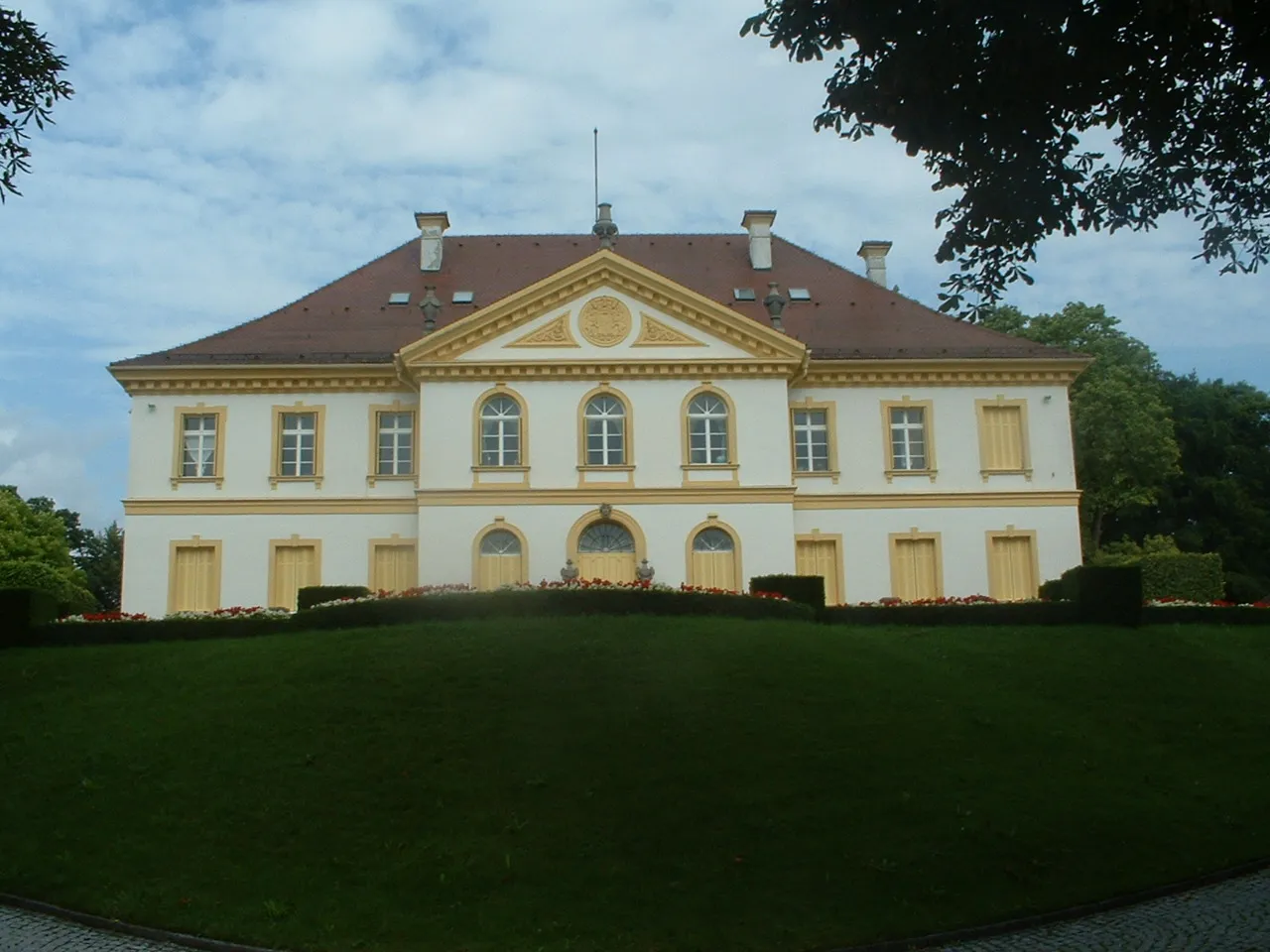
Dietenheim is a beautiful town located in Tübingen, Germany. From a cyclist's perspective, it offers a mix of flat roads and gentle hills, making it suitable for both road and gravel cycling. The surrounding countryside is picturesque, with rolling meadows and charming villages to explore. A notable cycling spot nearby is the Schloss Hohenentringen, a historic castle with stunning views of the surrounding landscape. Overall, Dietenheim is a great destination for cyclists looking for scenic routes and a peaceful atmosphere.13 km
13 km
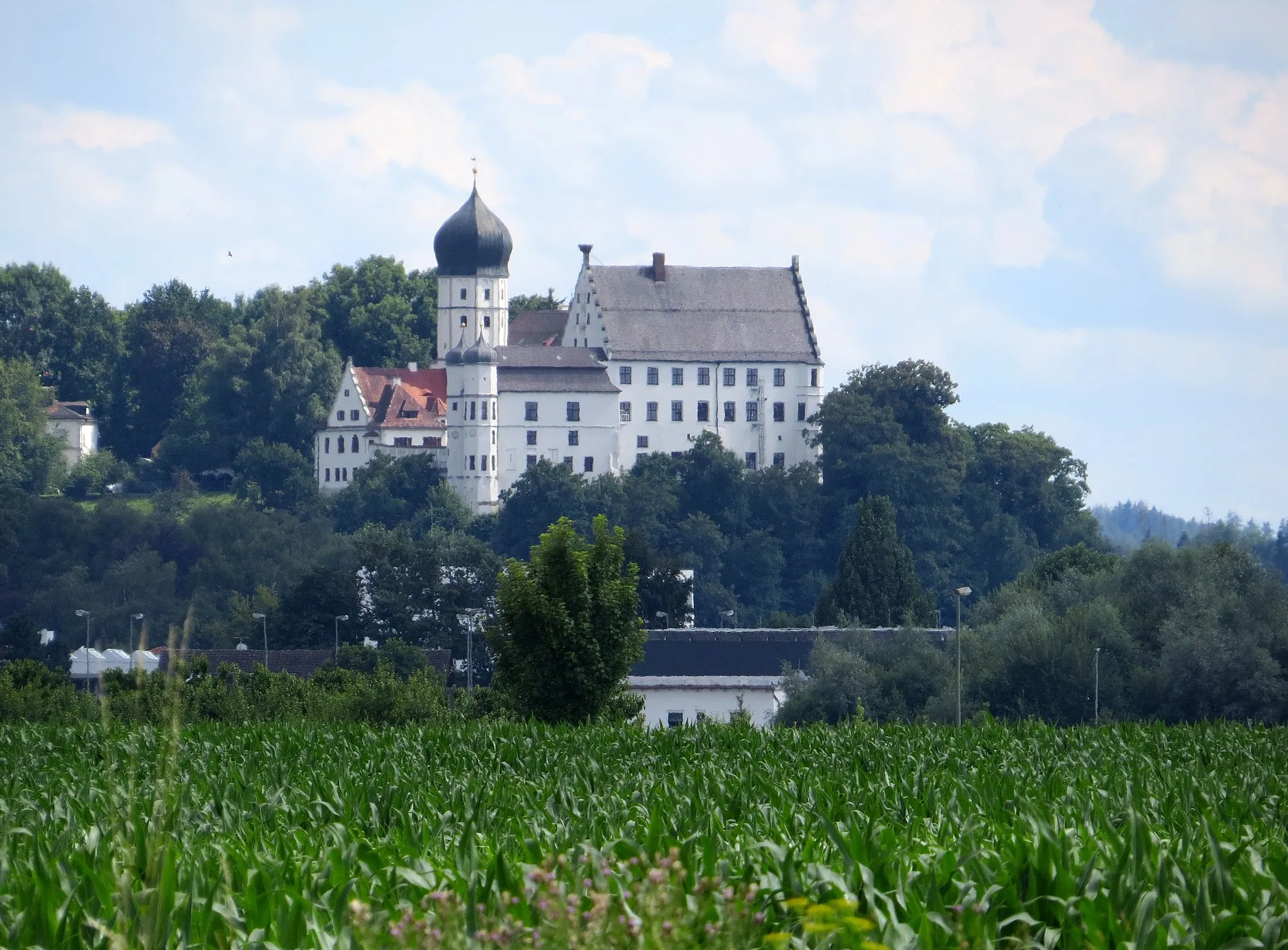
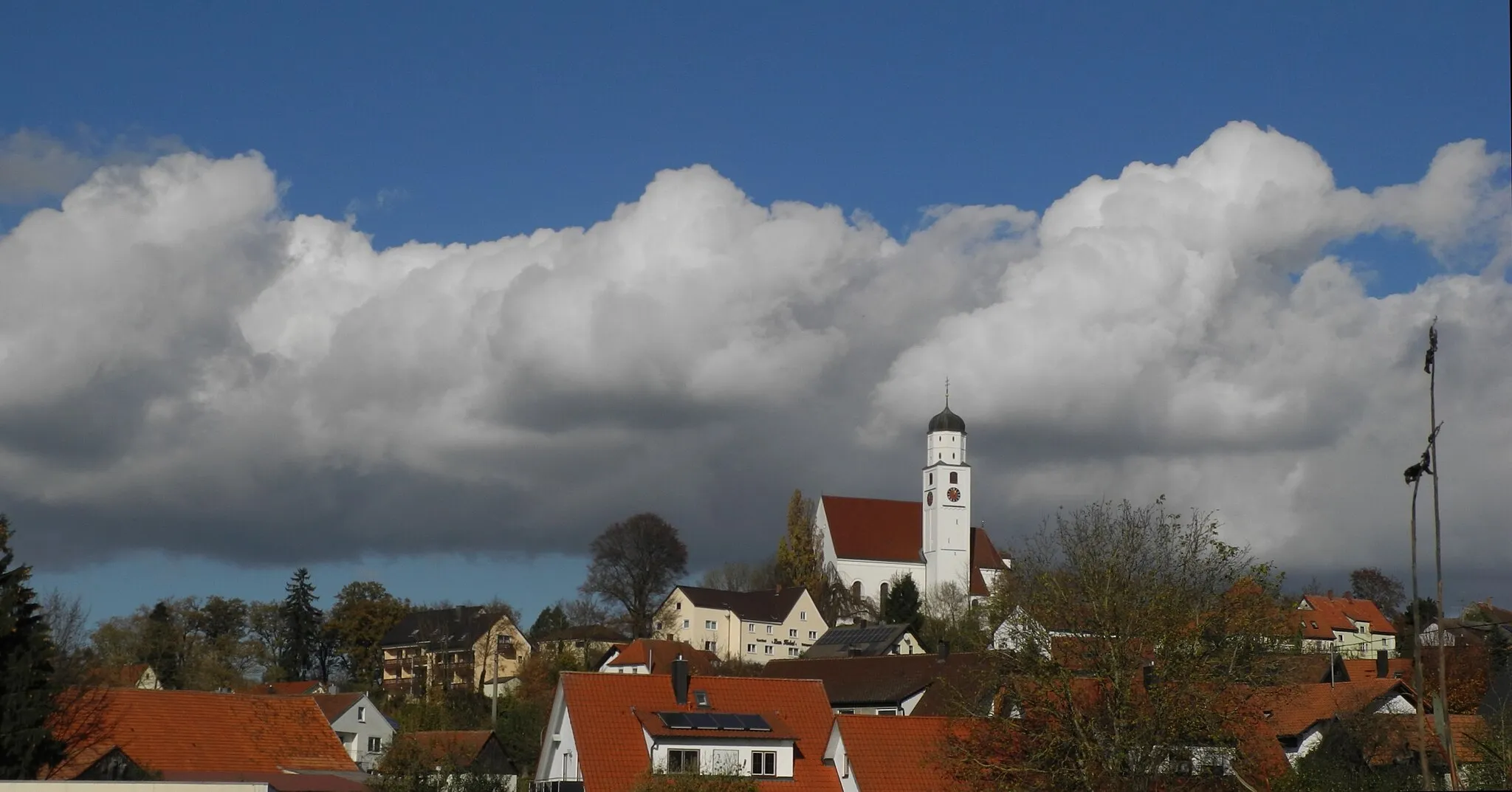
NiedernzellHamletNiedernzell: Discover the scenic countryside and immerse yourself in a peaceful atmosphere.
21 km
21 km
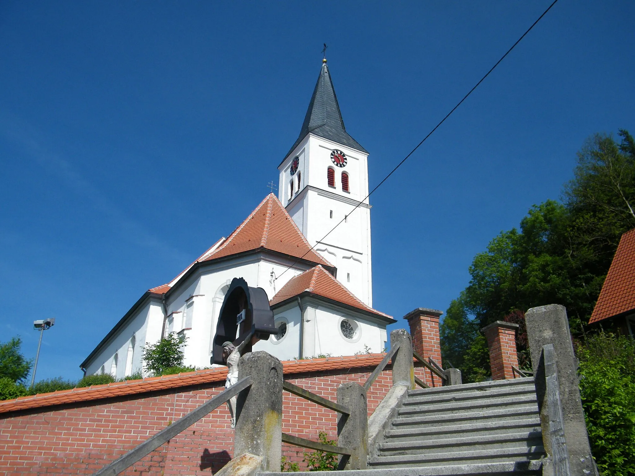
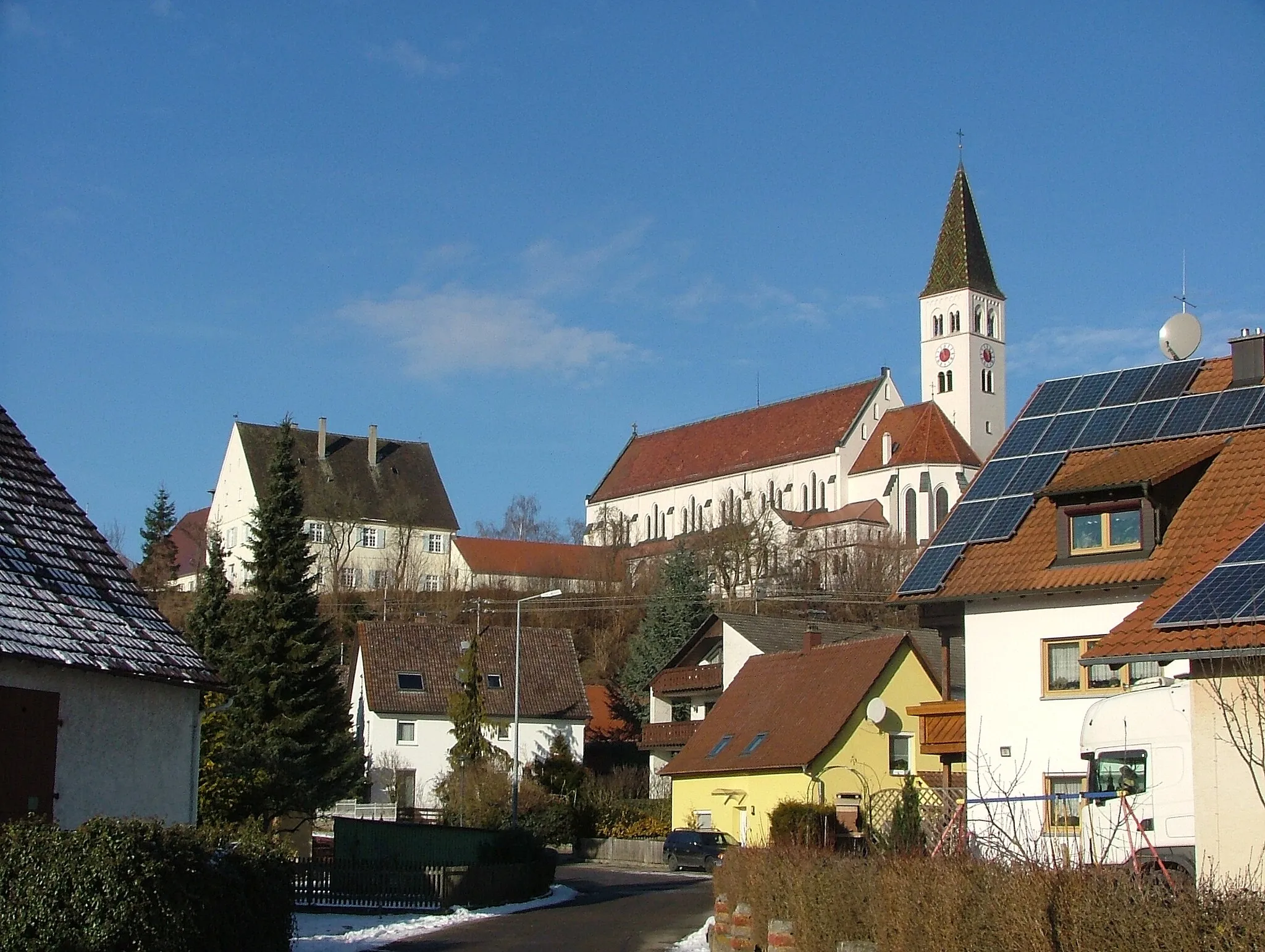
ReinstettenVillage38 km
38 km
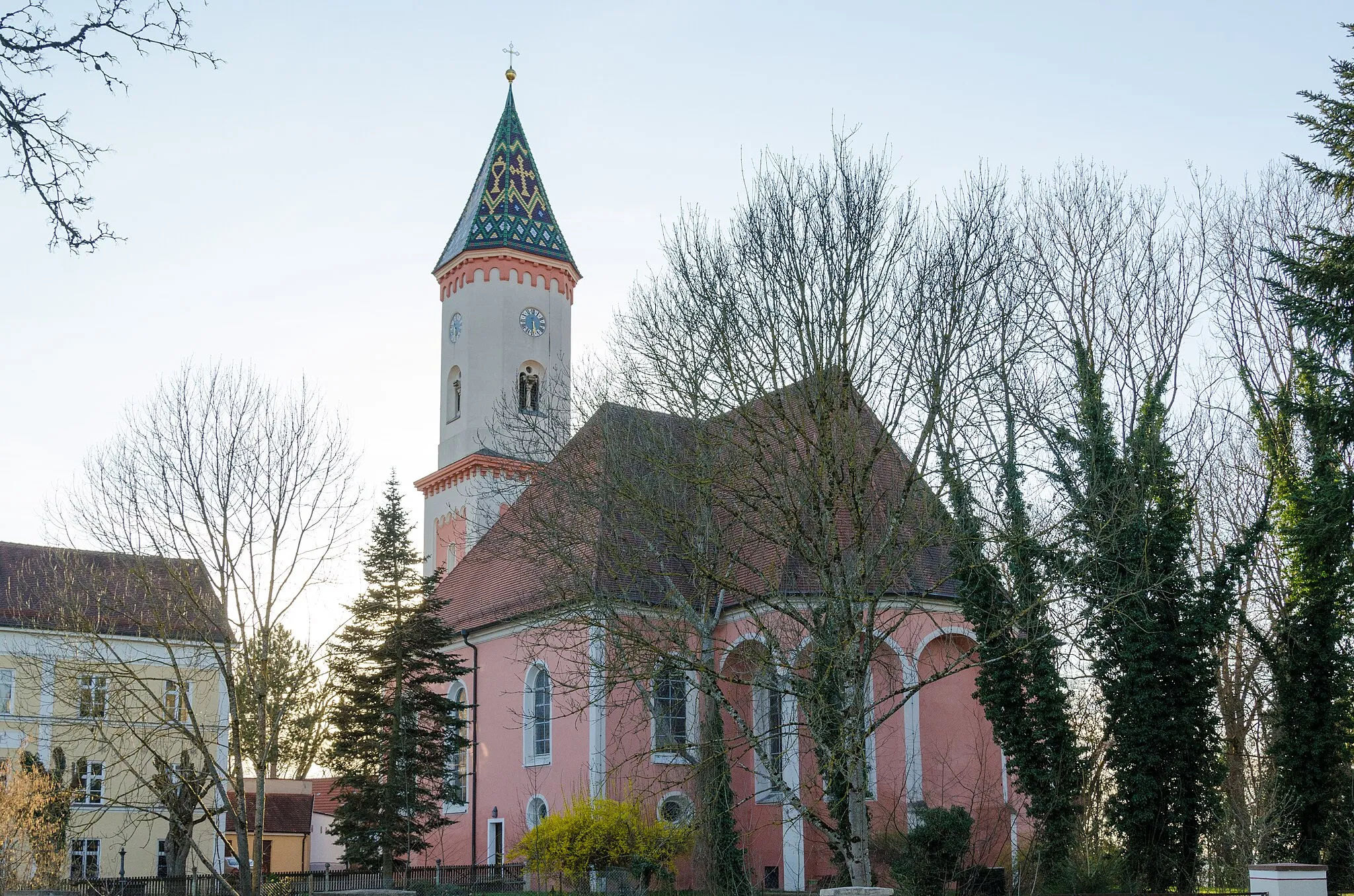
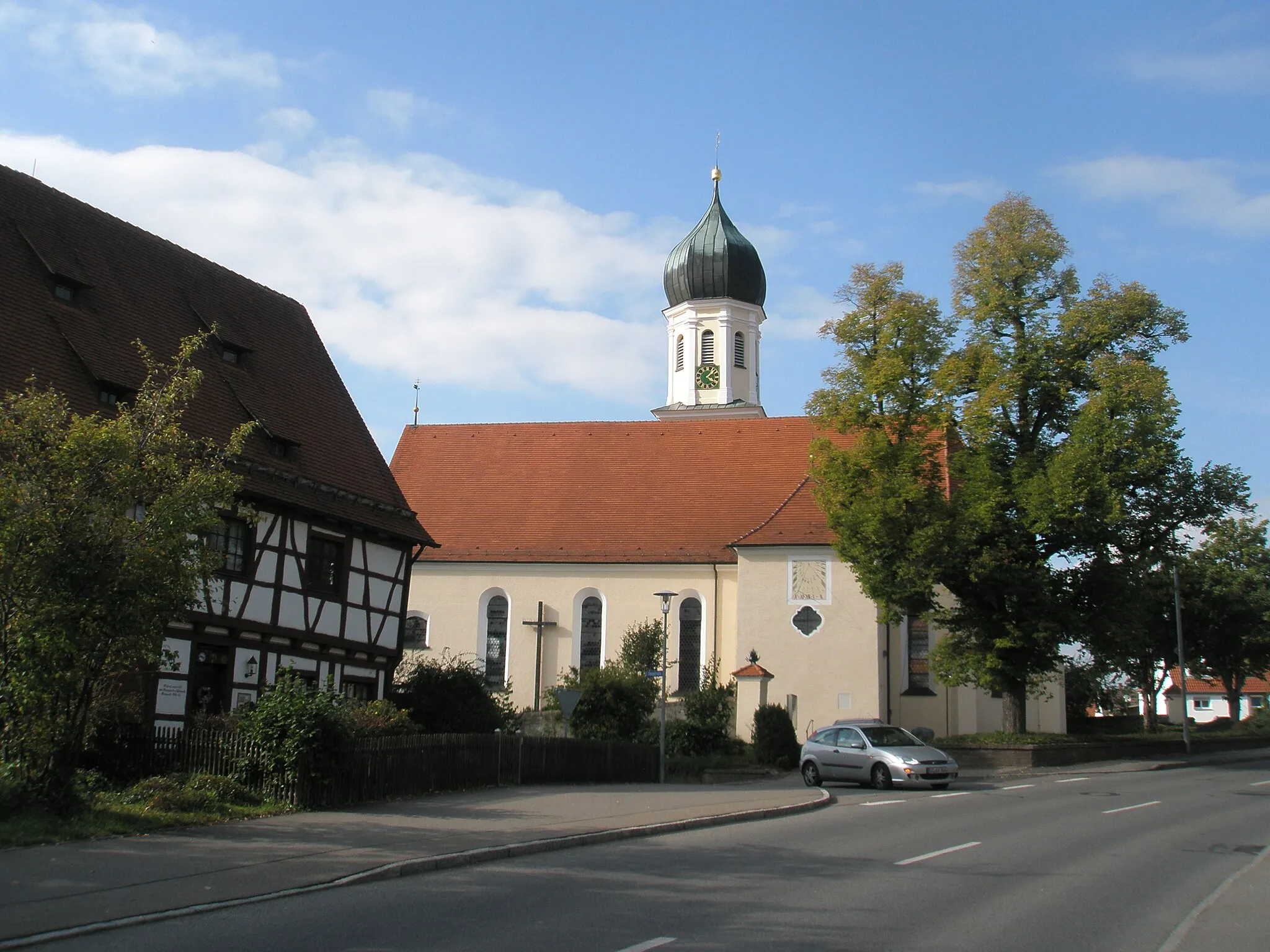
WalpertshofenVillageWalpertshofen: Enjoy the traditional Bavarian architecture and experience the rural charm of the village.
54 km
54 km
DietenheimTownDietenheim: Discover the local heritage with its historic buildings and vibrant town center.
54 km
54 km
Finish: Dietenheim City centerDietenheim: Discover the charming countryside of Dietenheim on scenic cycling routes.
Cycling routes nearby: