The Road Adventure
A road cycling route starting from Dietenheim
A challenging road route showcasing the natural beauty of the area
Map
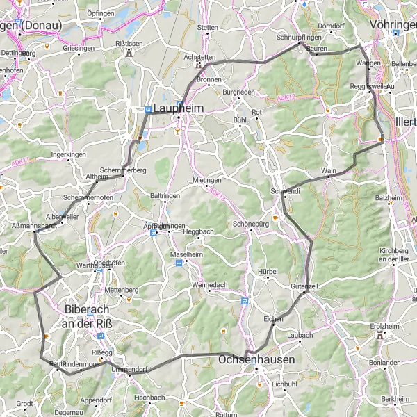
Embark on a 92 km road adventure starting near Dietenheim, Tübingen, Germany. This route is designed for experienced cyclists looking for a challenge. With 848 meters of ascent, be prepared for a tough ride. However, the stunning landscapes and charming villages along the way make it all worthwhile.
road
92 km
848 m
Tough
Route profile
Highlights on the route
0 km
0 km
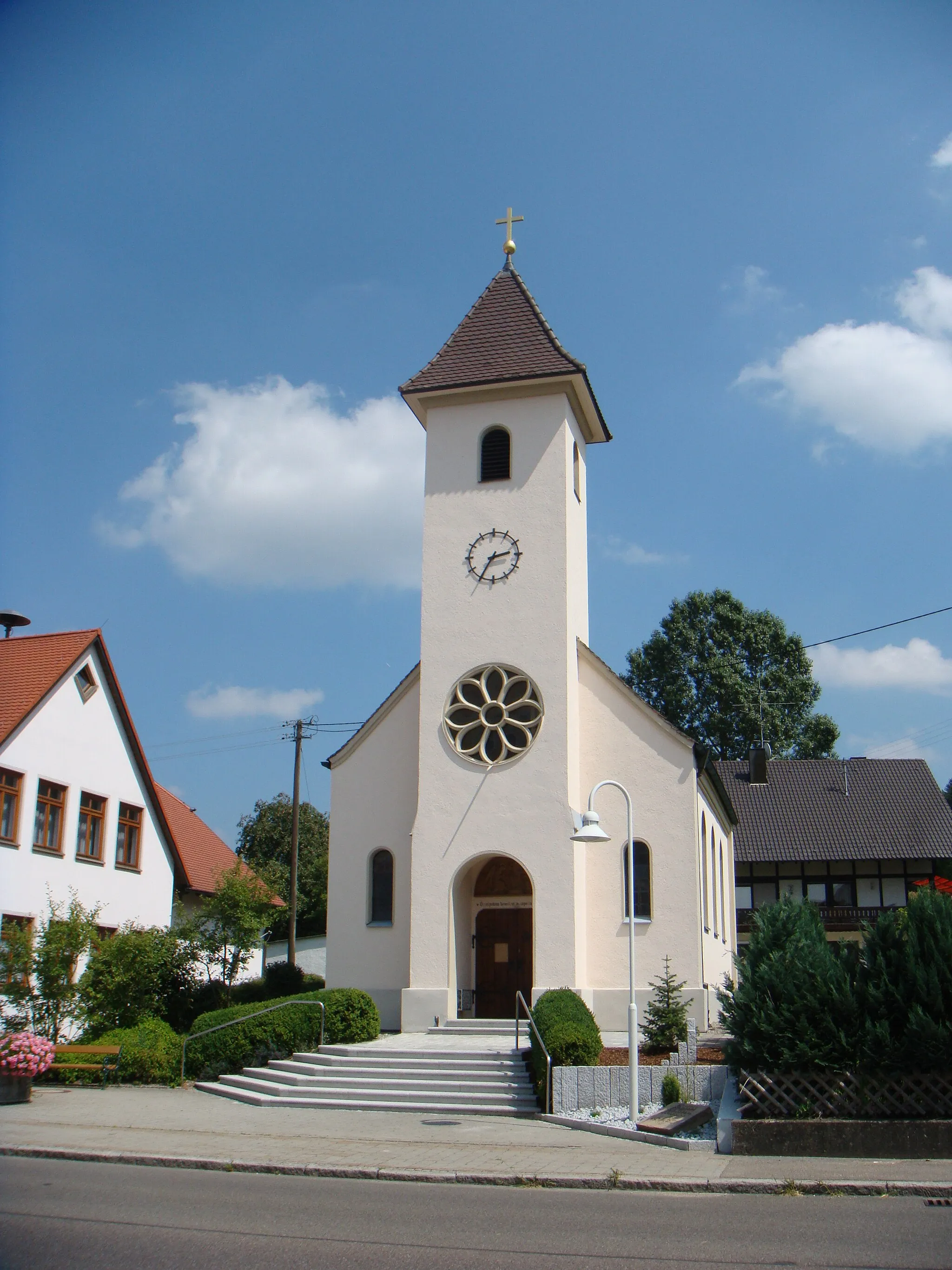
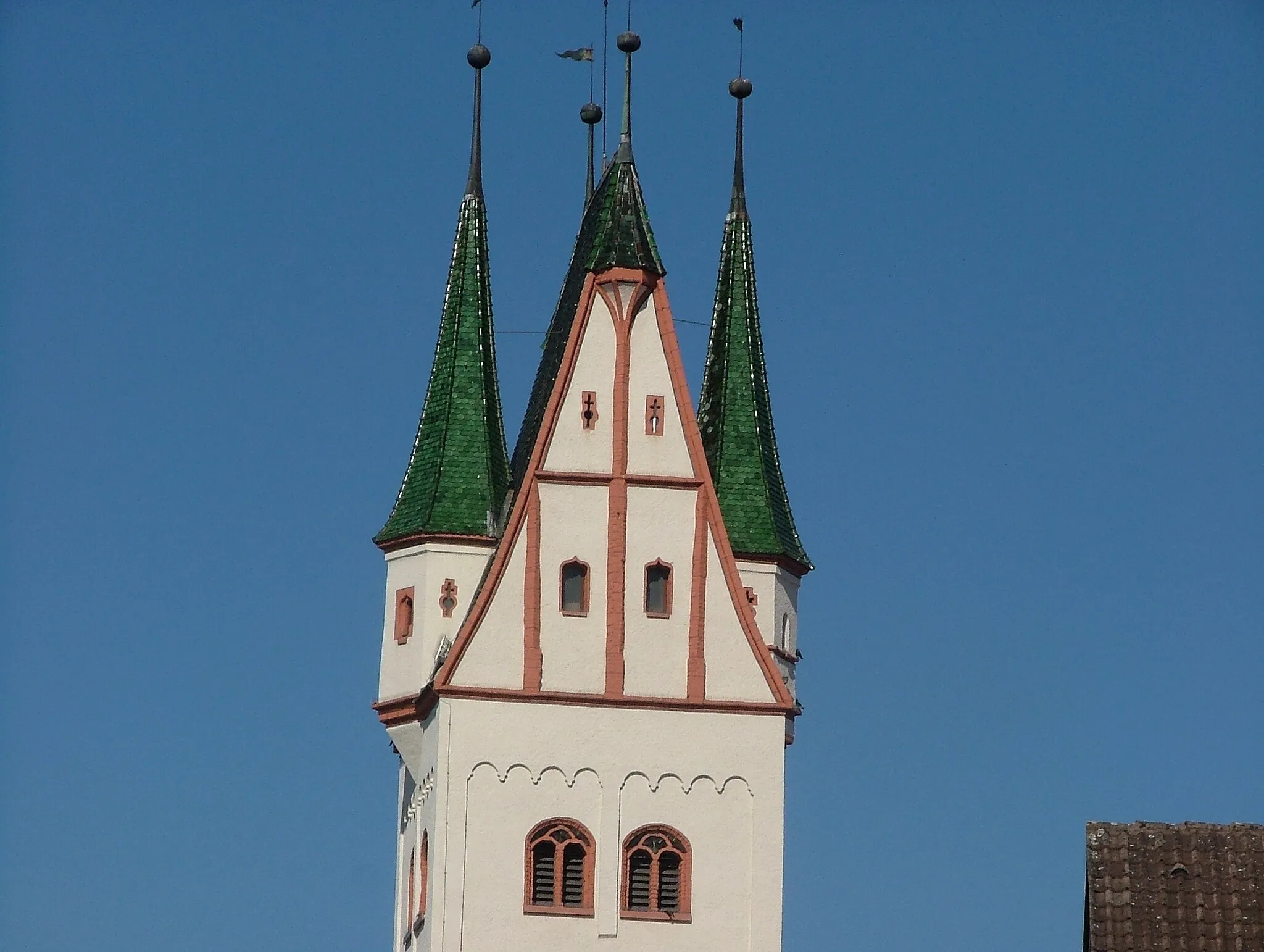
Start: Dietenheim City centerDietenheim: Discover the charming countryside of Dietenheim on scenic cycling routes.
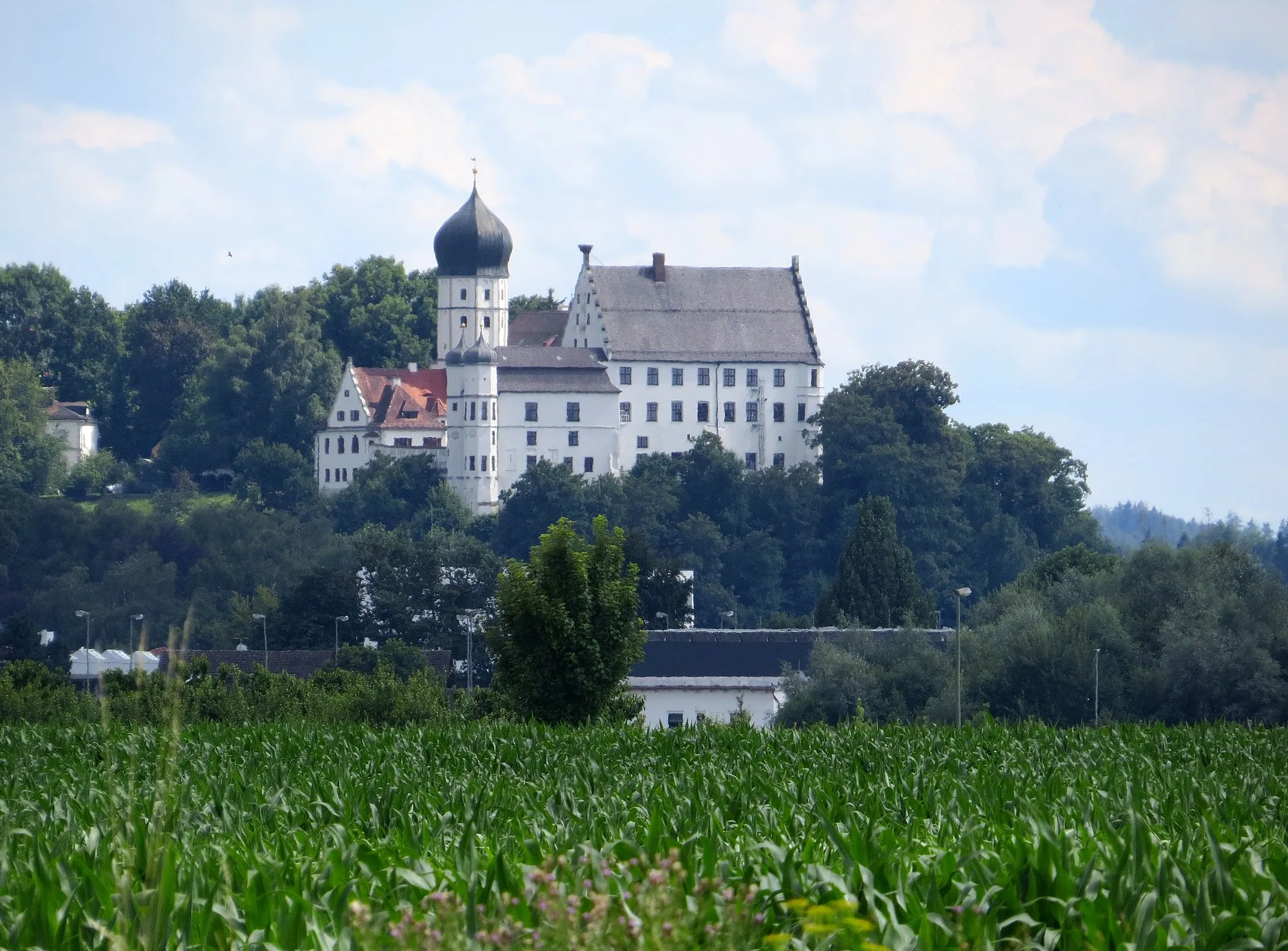
Dietenheim is a beautiful town located in Tübingen, Germany. From a cyclist's perspective, it offers a mix of flat roads and gentle hills, making it suitable for both road and gravel cycling. The surrounding countryside is picturesque, with rolling meadows and charming villages to explore. A notable cycling spot nearby is the Schloss Hohenentringen, a historic castle with stunning views of the surrounding landscape. Overall, Dietenheim is a great destination for cyclists looking for scenic routes and a peaceful atmosphere.9 km
9 km
SchwendiVillageAfter 9 km, reach Schwendi, a lovely village known for its beautiful landscape and historic buildings.
24 km
24 km
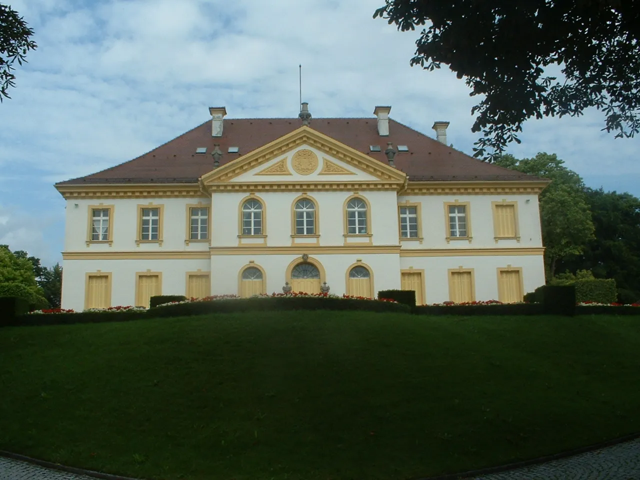
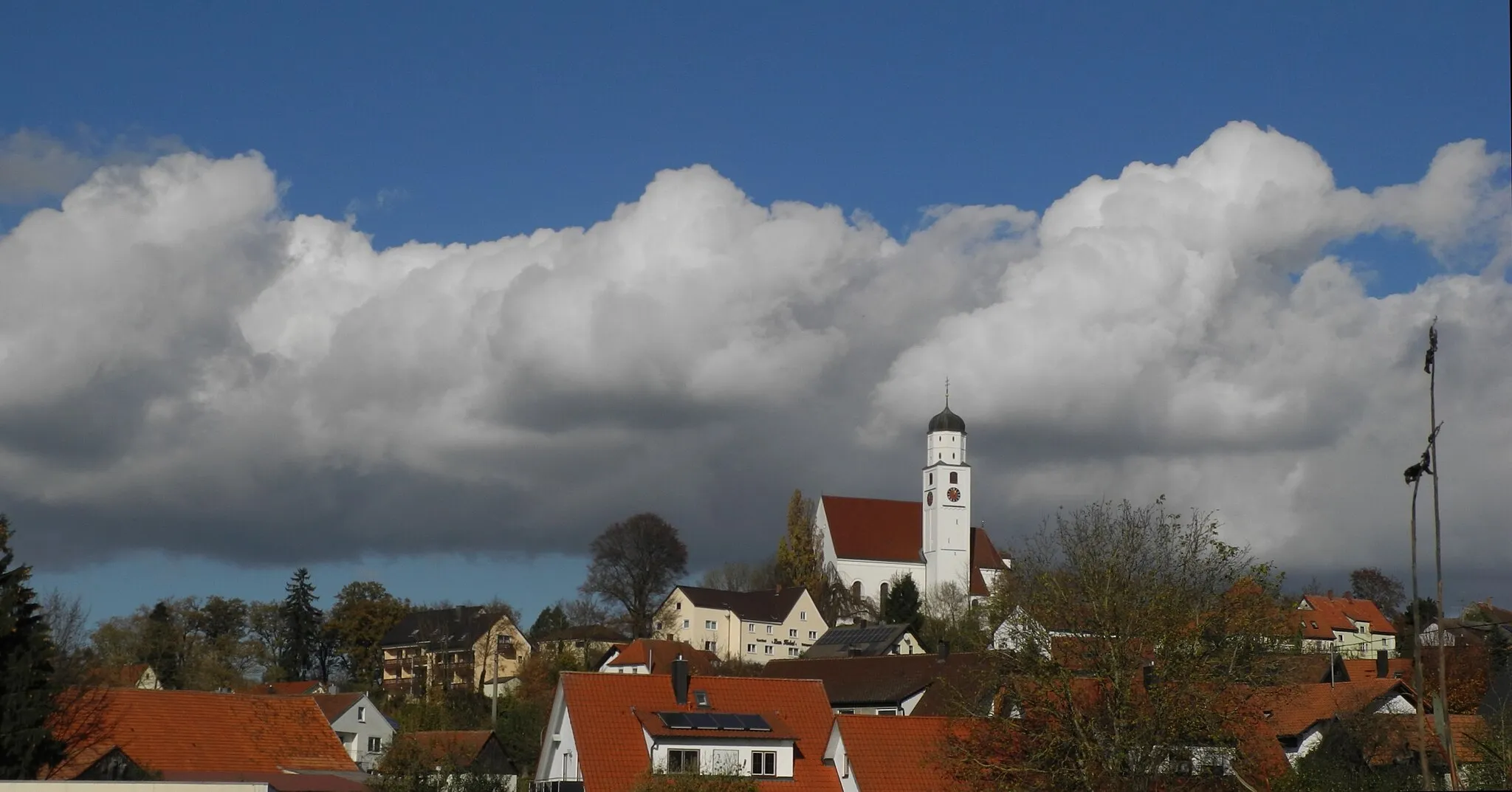
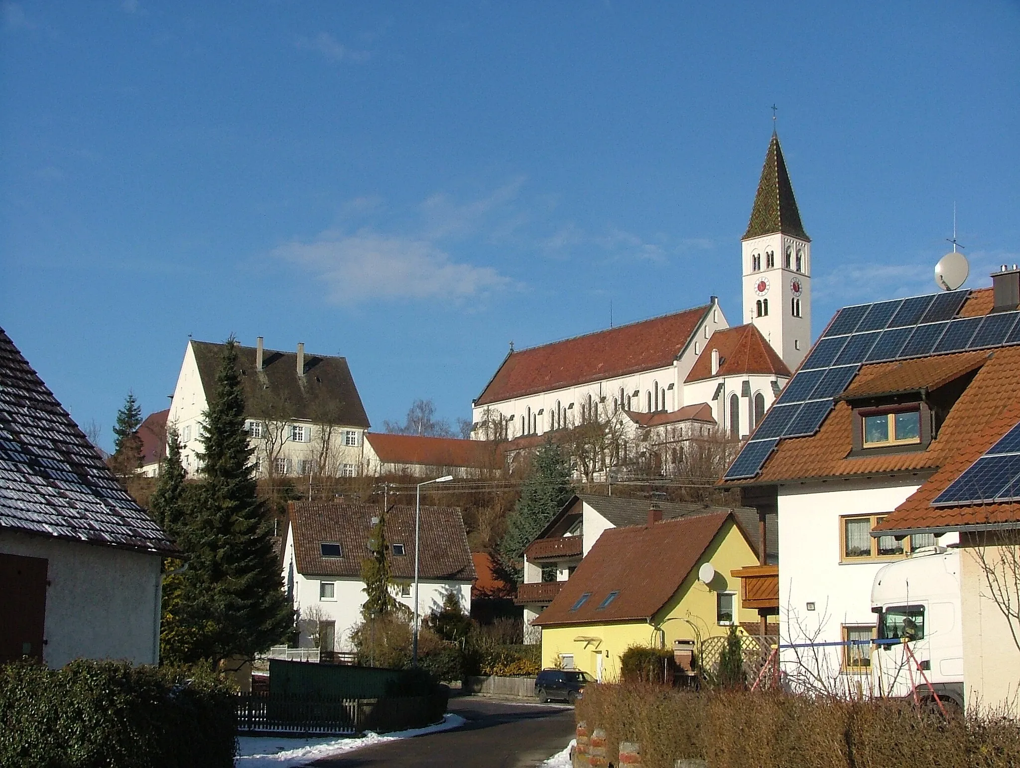
OchsenhausenTownOchsenhausen, located around 24 km from the start, offers the perfect spot to take a break and explore its famous abbey.
30 km
30 km
Aspen653 mPeakAt approximately 30 km, admire the picturesque scenery of Aspen and take a moment to relax by the tranquil river.
43 km
43 km
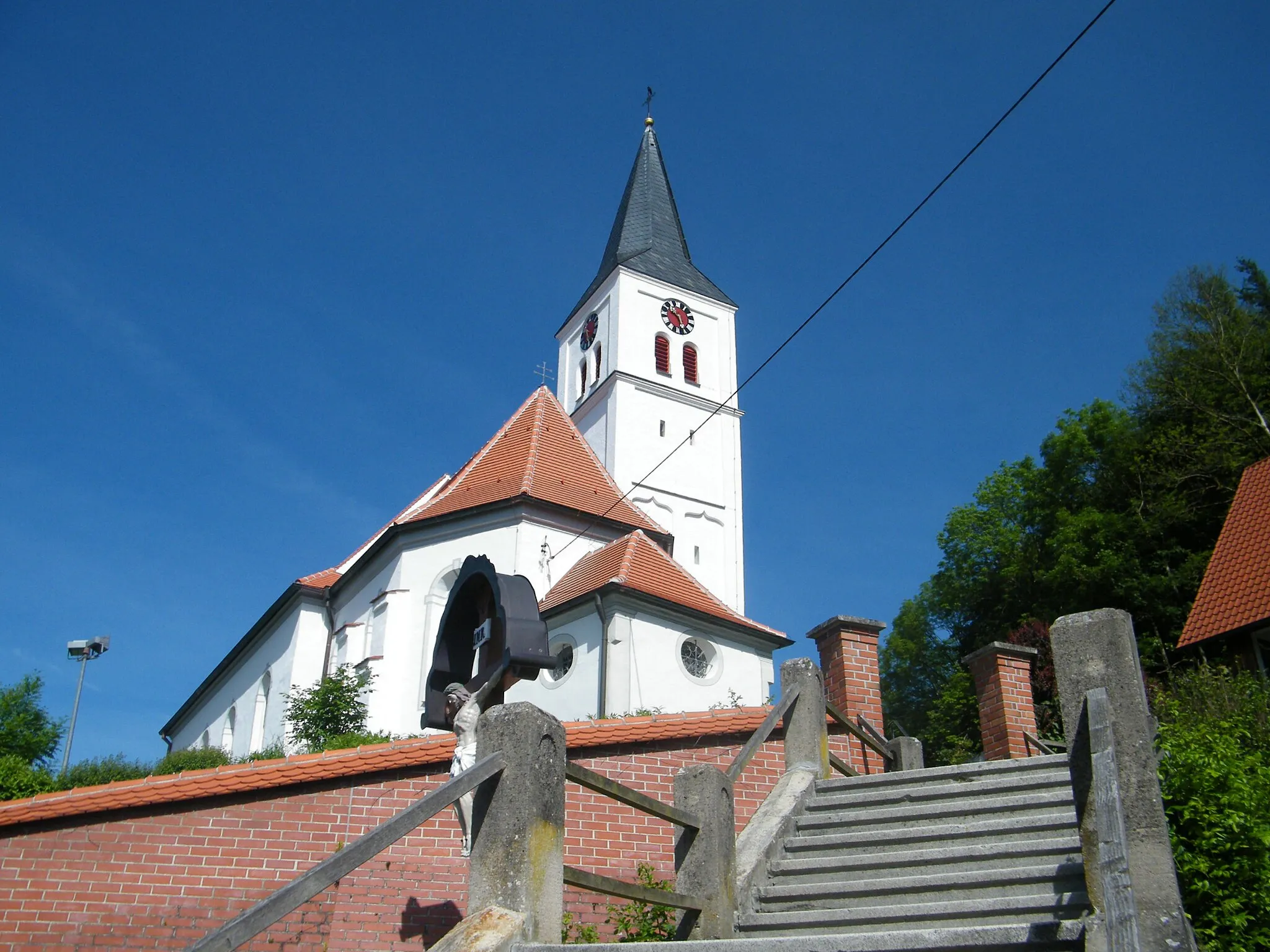
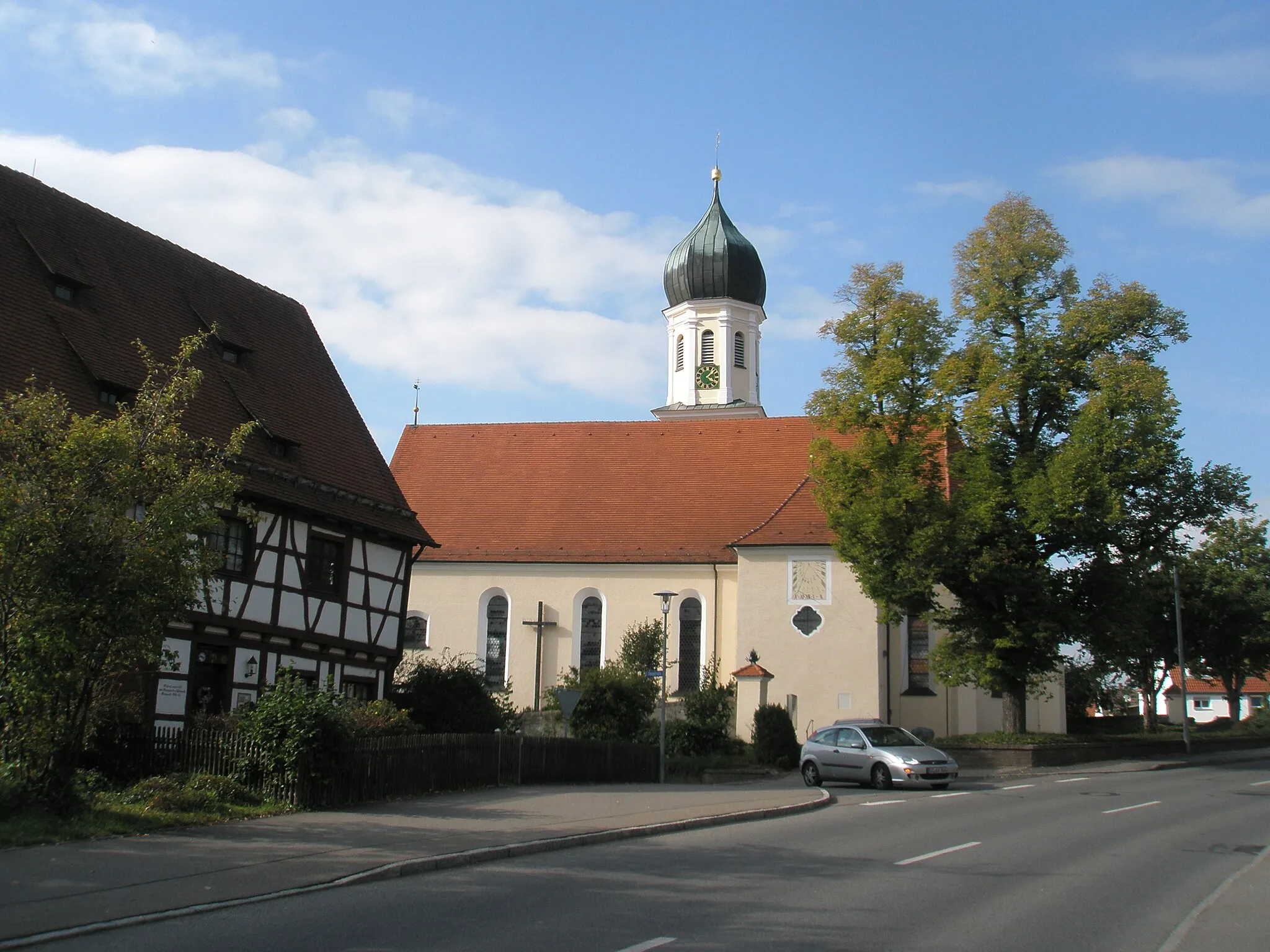
MittelbiberachVillageMittelbiberach, at 43 km, boasts charming half-timbered houses and a rich history dating back to medieval times.
57 km
57 km
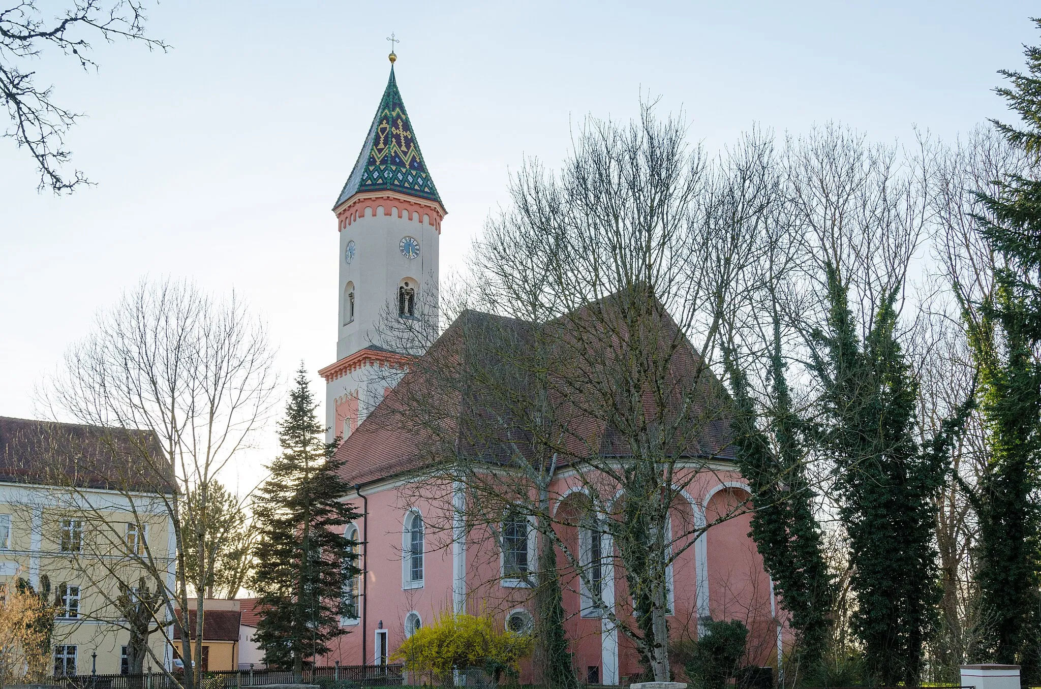
SchemmerhofenVillageSchemmerhofen, approximately 57 km from the start, is a picturesque village with a well-preserved historic center.
72 km
72 km
AchstettenVillageAchstetten, after 72 km, offers a unique blend of historical landmarks and idyllic countryside surroundings.
85 km
85 km
IllerriedenVillageIllerrieden, located at 85 km, entices you with its quaint streets, beautiful parks, and the tranquil Iller river.
92 km
92 km
DietenheimTownEnd the ride back in Dietenheim and explore the local attractions, including the historic Dietenheim Castle.
92 km
92 km
Finish: Dietenheim City centerDietenheim: Discover the charming countryside of Dietenheim on scenic cycling routes.
Cycling routes nearby: