The Gravel Adventure
A gravel cycling route starting from Dietenheim
A thrilling gravel route filled with exciting highlights
Map
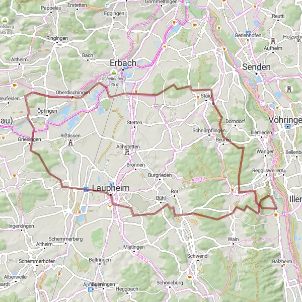
Embark on a 70 km gravel adventure near Dietenheim, Tübingen, Germany. This route offers a mix of challenging terrain and picturesque landscapes. With 694 meters of ascent, you'll experience a decent workout whilst exploring the surroundings. The gravel bike is perfect for this route, allowing you to conquer any obstacles with ease.
gravel
70 km
694 m
Tough
Route profile
Highlights on the route
0 km
0 km
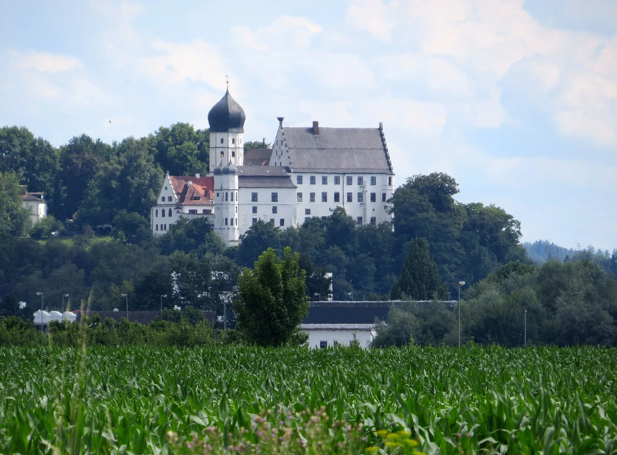
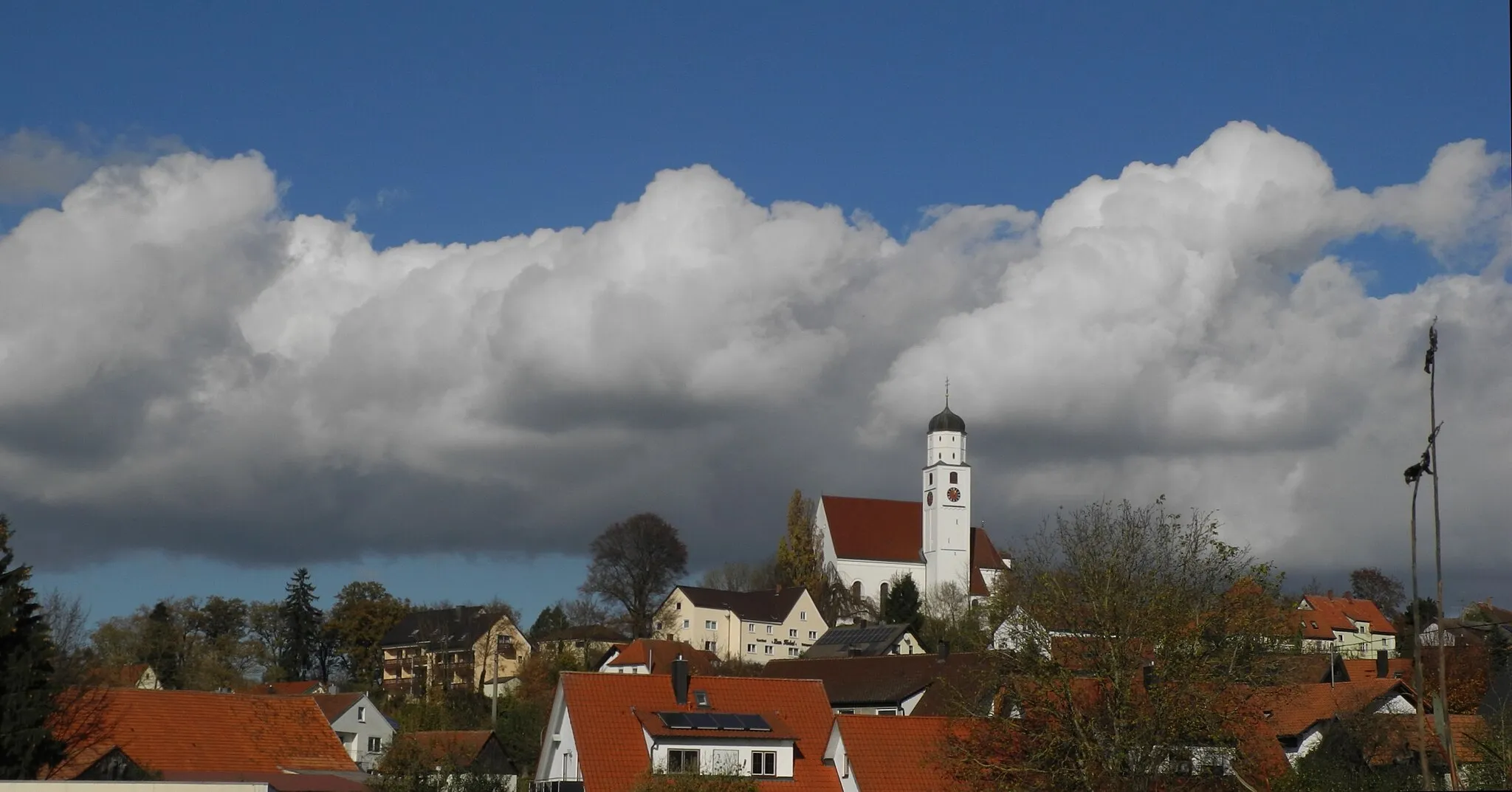
Start: Dietenheim City centerDietenheim: Discover the charming countryside of Dietenheim on scenic cycling routes.
Dietenheim is a beautiful town located in Tübingen, Germany. From a cyclist's perspective, it offers a mix of flat roads and gentle hills, making it suitable for both road and gravel cycling. The surrounding countryside is picturesque, with rolling meadows and charming villages to explore. A notable cycling spot nearby is the Schloss Hohenentringen, a historic castle with stunning views of the surrounding landscape. Overall, Dietenheim is a great destination for cyclists looking for scenic routes and a peaceful atmosphere.11 km
11 km
OrsenhausenVillageLocated at a distance of 11 km from the start, stop by Orsenhausen and explore its charming village center.
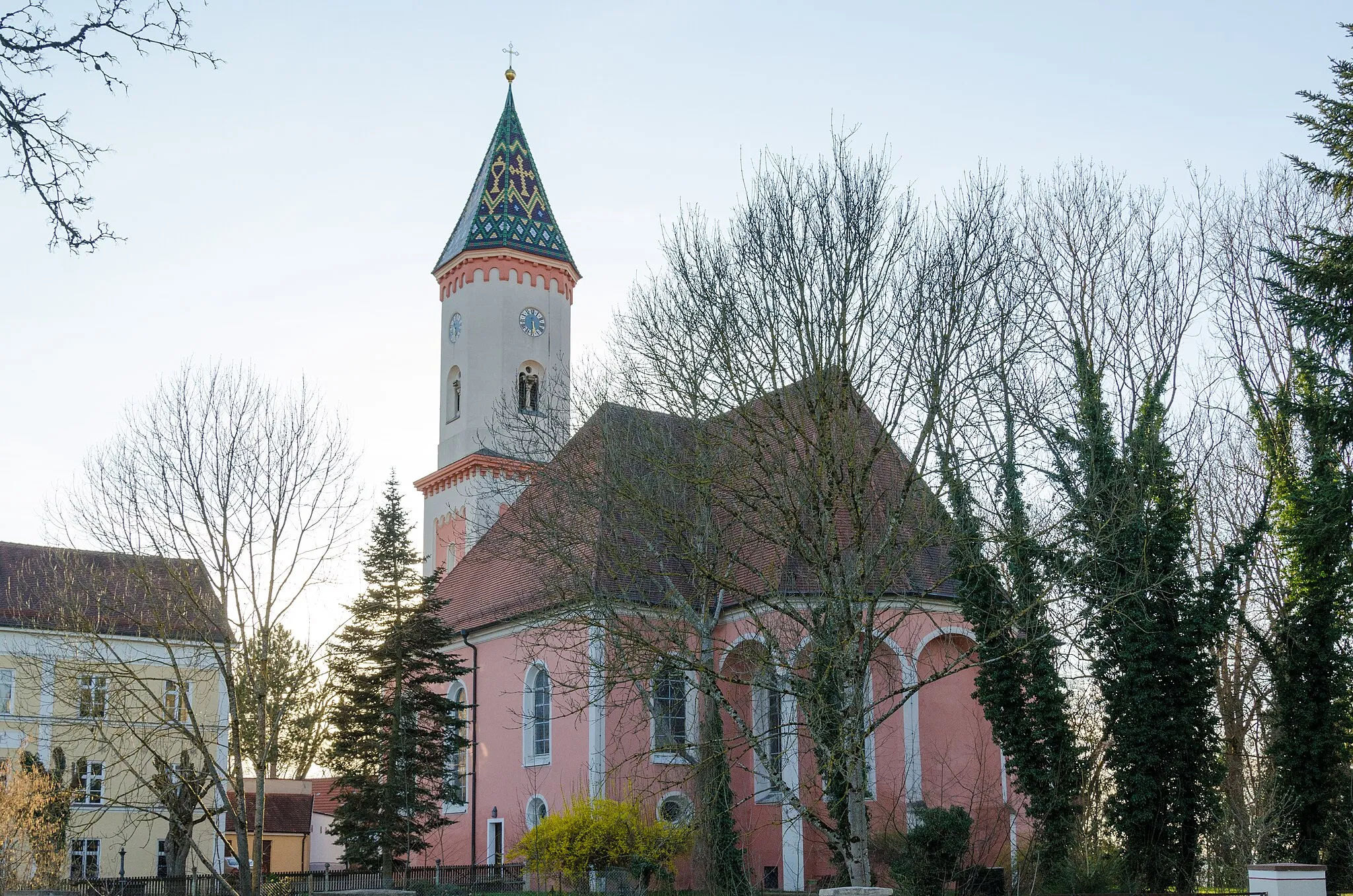
30 km
30 km
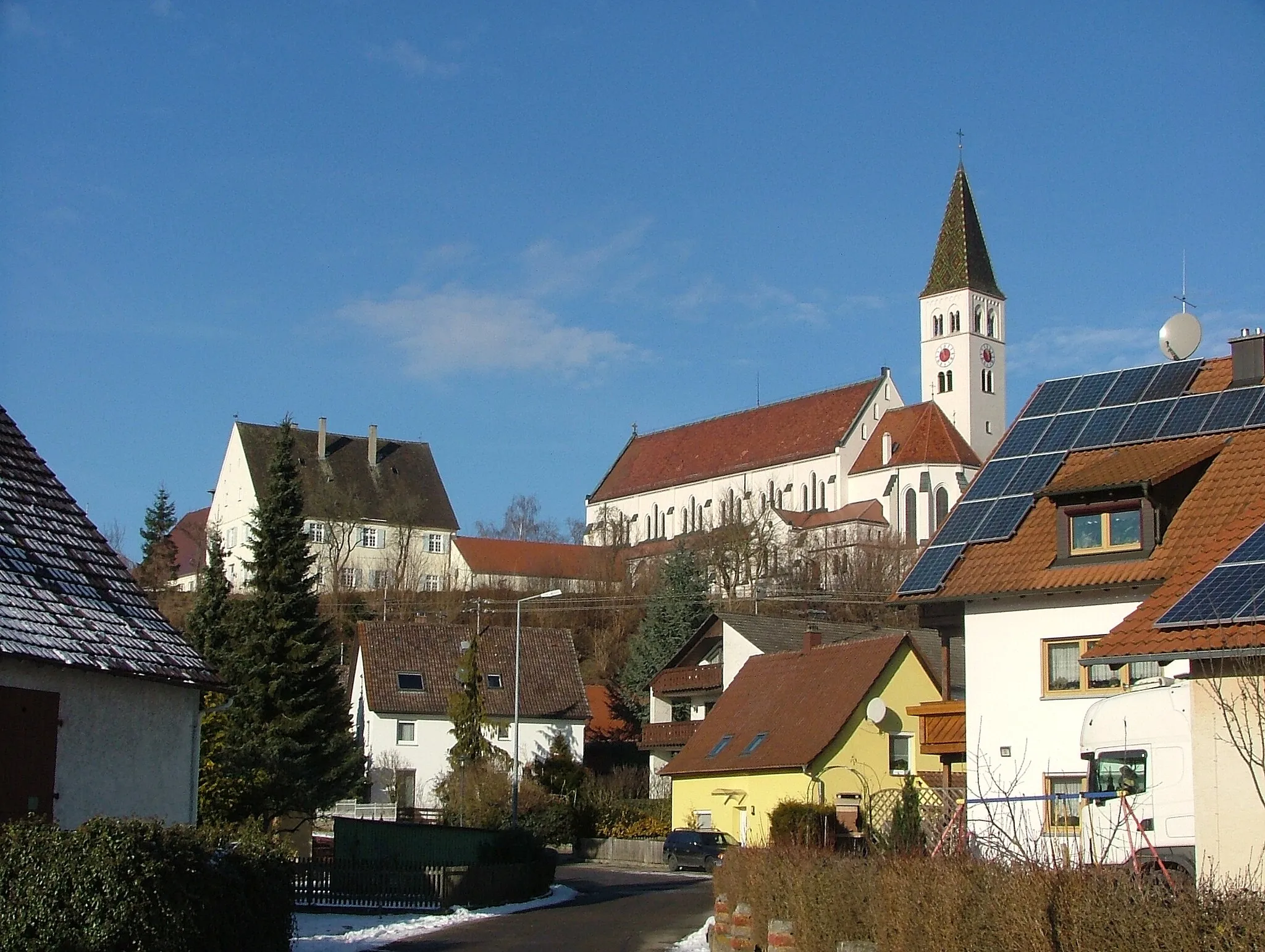
GriesingenVillageAt around 30 km, Griesingen awaits you with its beautiful castle and scenic views.
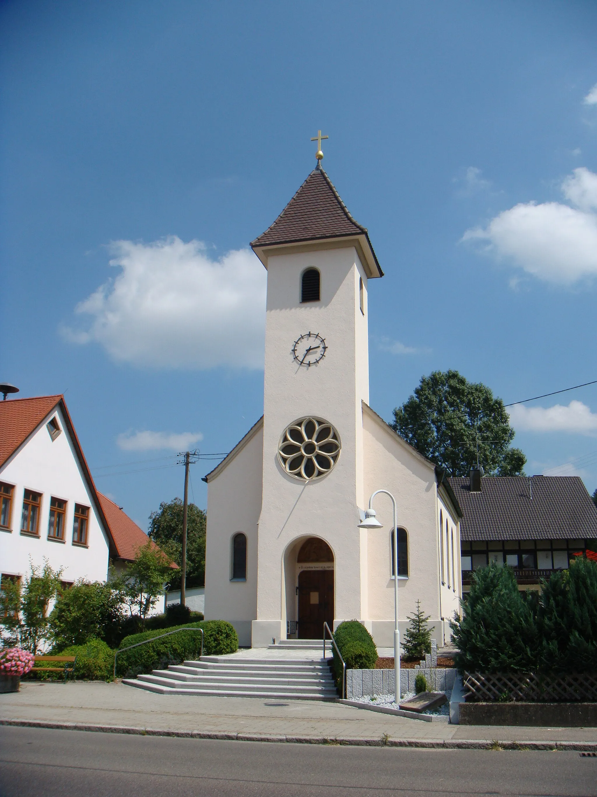
39 km
39 km
OberdischingenVillageOberdischingen, situated approximately 39 km from the start, offers a peaceful forested area and a bike-friendly cafe.
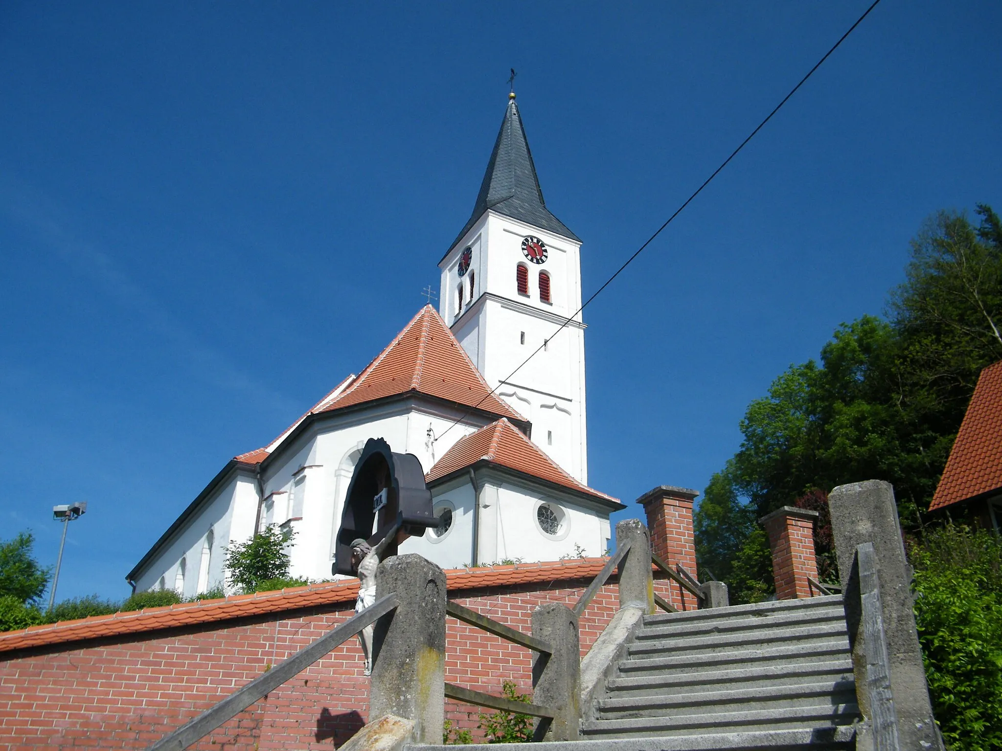
55 km
55 km
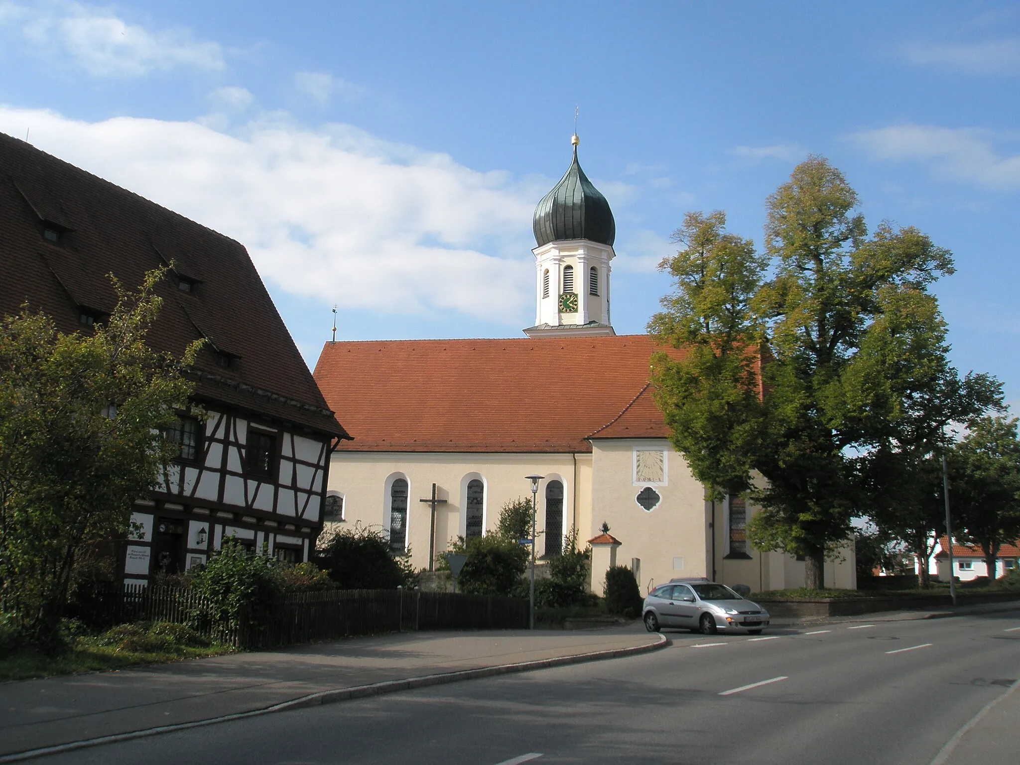
StaigVillageAfter 55 km, visit Staig and its historical church, which dates back to the 14th century.
70 km
70 km
DietenheimTownFinally, back in Dietenheim, take a break and discover the local attractions, including the historic Dietenheim Castle.
70 km
70 km
Finish: Dietenheim City centerDietenheim: Discover the charming countryside of Dietenheim on scenic cycling routes.
Cycling routes nearby: