The Ultimate Challenge
A road cycling route starting from Burkardroth
Take on the ultimate cycling challenge near Burkardroth
Map
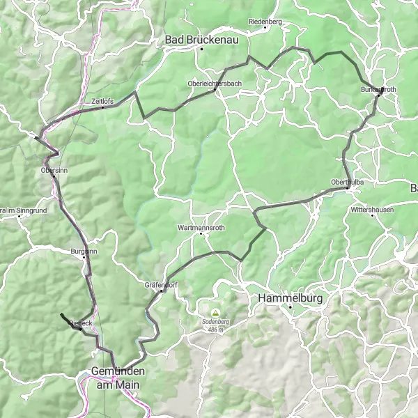
Get ready for the ultimate cycling challenge with this 114 km road route near Burkardroth. With an ascent of 1426 m, this trail offers a test of endurance and breathtaking landscapes. Highlights along the way include Gemünden am Main, offering stunning views of the Main River, and Oberleichtersbach, known for its picturesque surroundings. With a difficulty level of 5 and an epicness rating of 5, this route is perfect for experienced riders seeking a legendary cycling adventure.
road
114 km
1426 m
Savage
Route profile
Highlights on the route
0 km
0 km
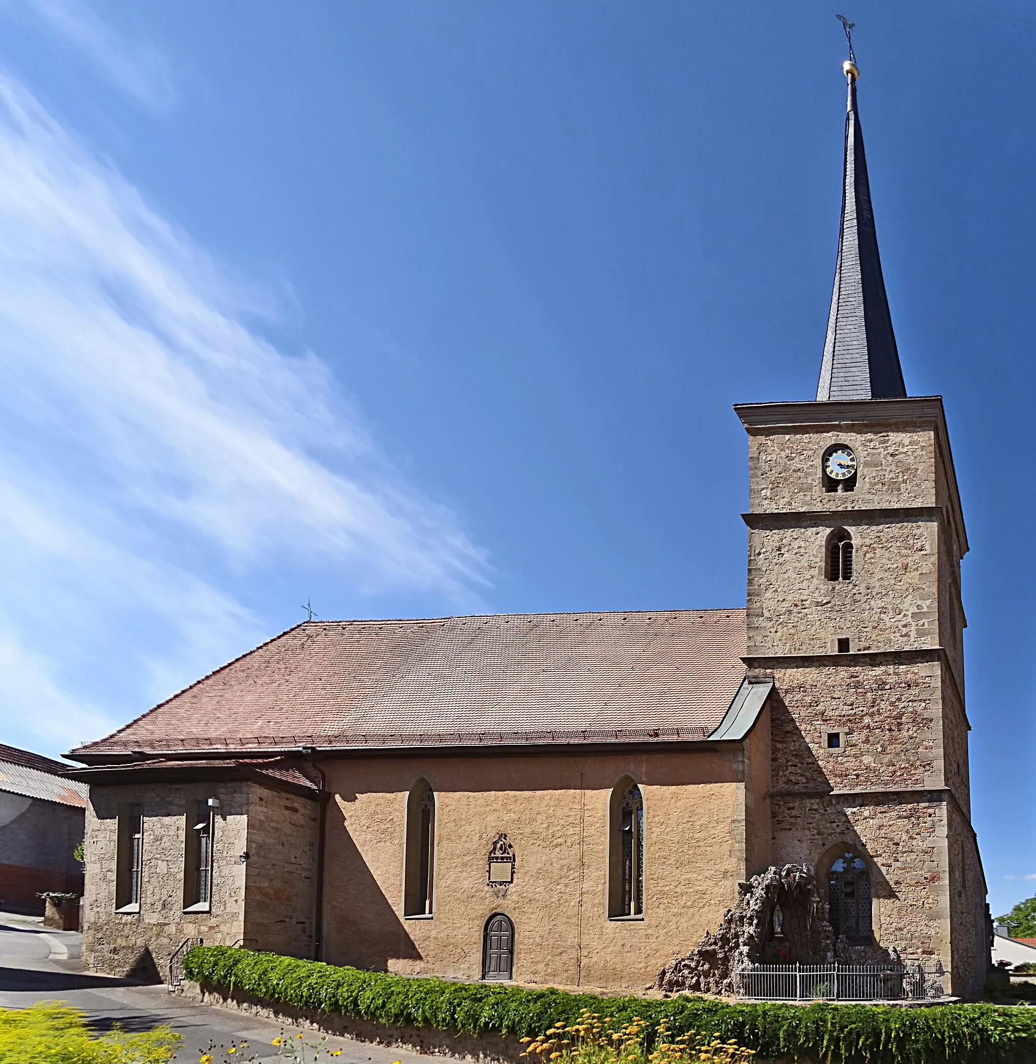
Start: Wollbach Village centerBurkardroth: A Haven for Road and Gravel Cycling in Unterfranken
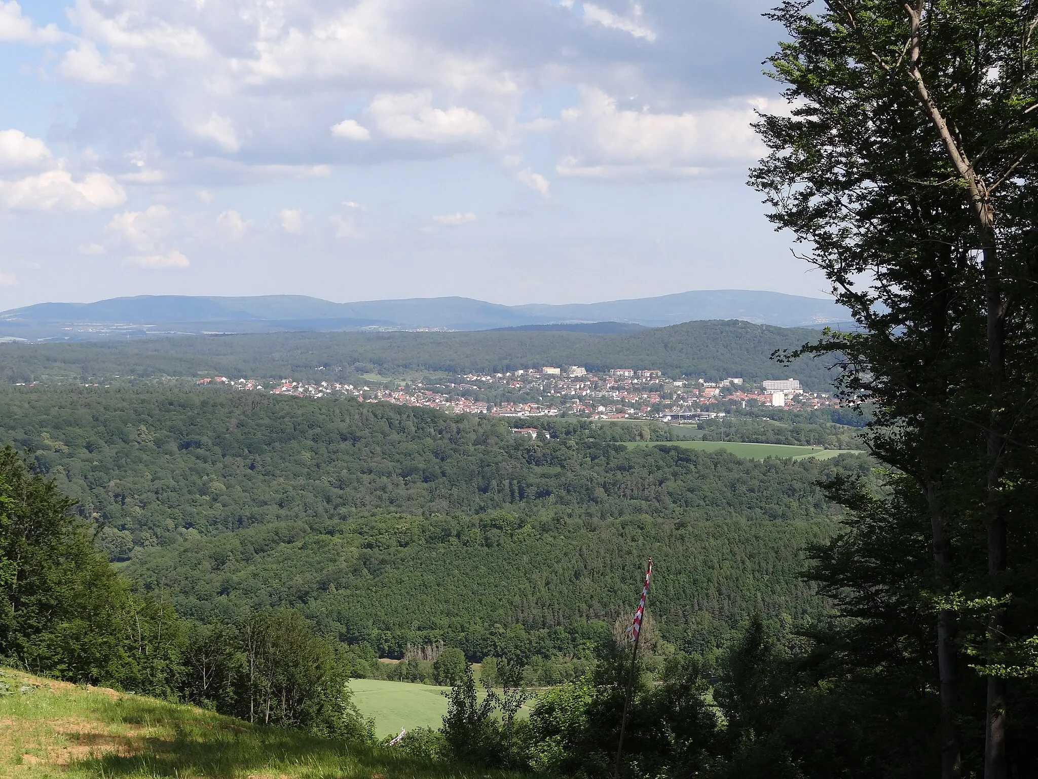
Burkardroth, located in Unterfranken, Germany, is a cyclist-friendly locality offering a range of cycling options for both road and gravel cyclists. The region showcases beautiful landscapes characterized by rolling hills and idyllic countryside views. Road cyclists can explore the well-paved roads, while gravel enthusiasts can venture off on the various gravel paths and trails. A renowned cycling climb in the area is the Kreuzberg, a challenging ascent that attracts riders from near and far. Burkardroth is a fantastic destination for cyclists looking to be immersed in nature while enjoying invigorating rides.0 km
0 km
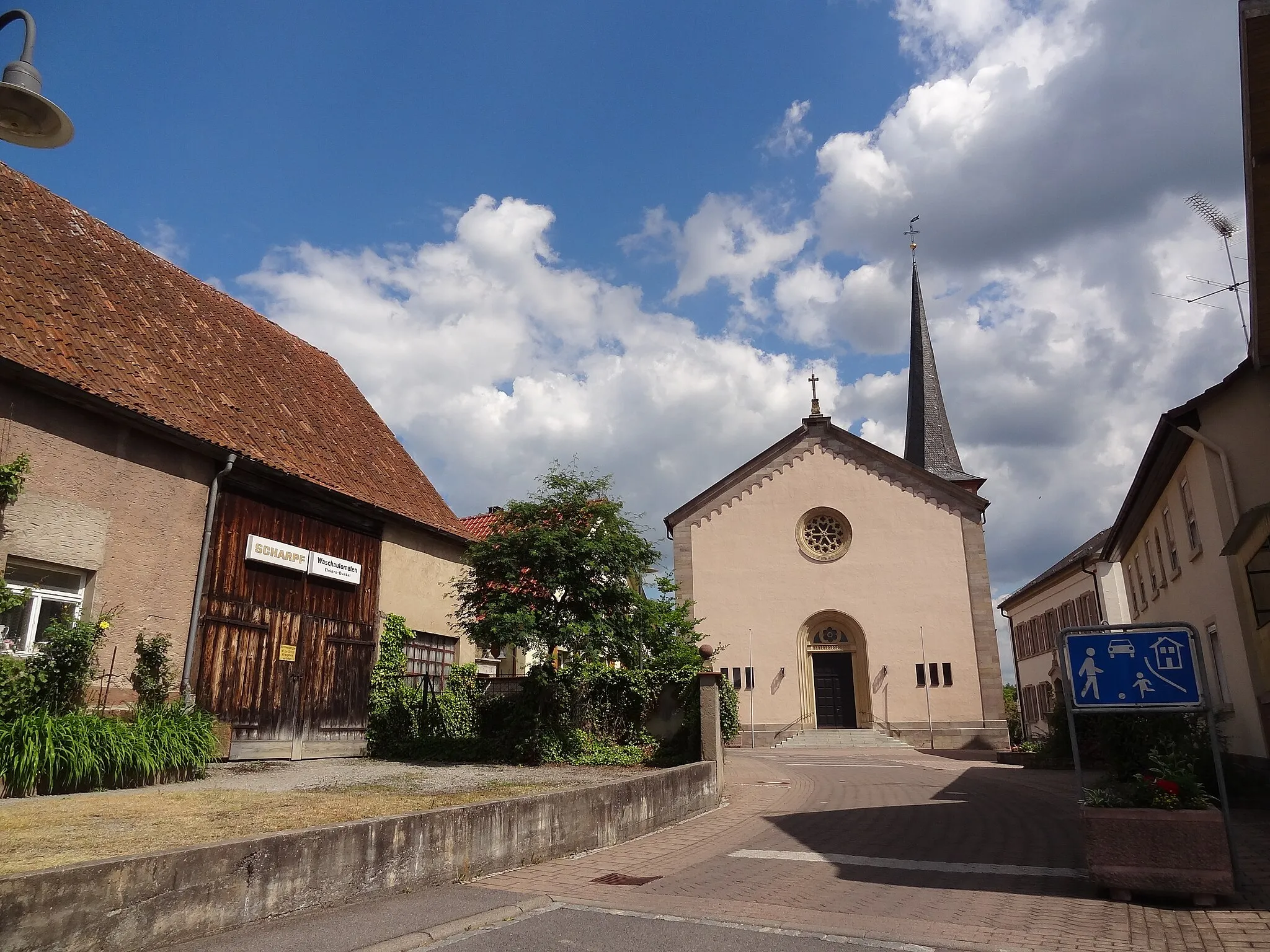
BurkardrothVillageBegin your journey in Burkardroth, a charming town surrounded by scenic landscapes and rich history.
10 km
10 km
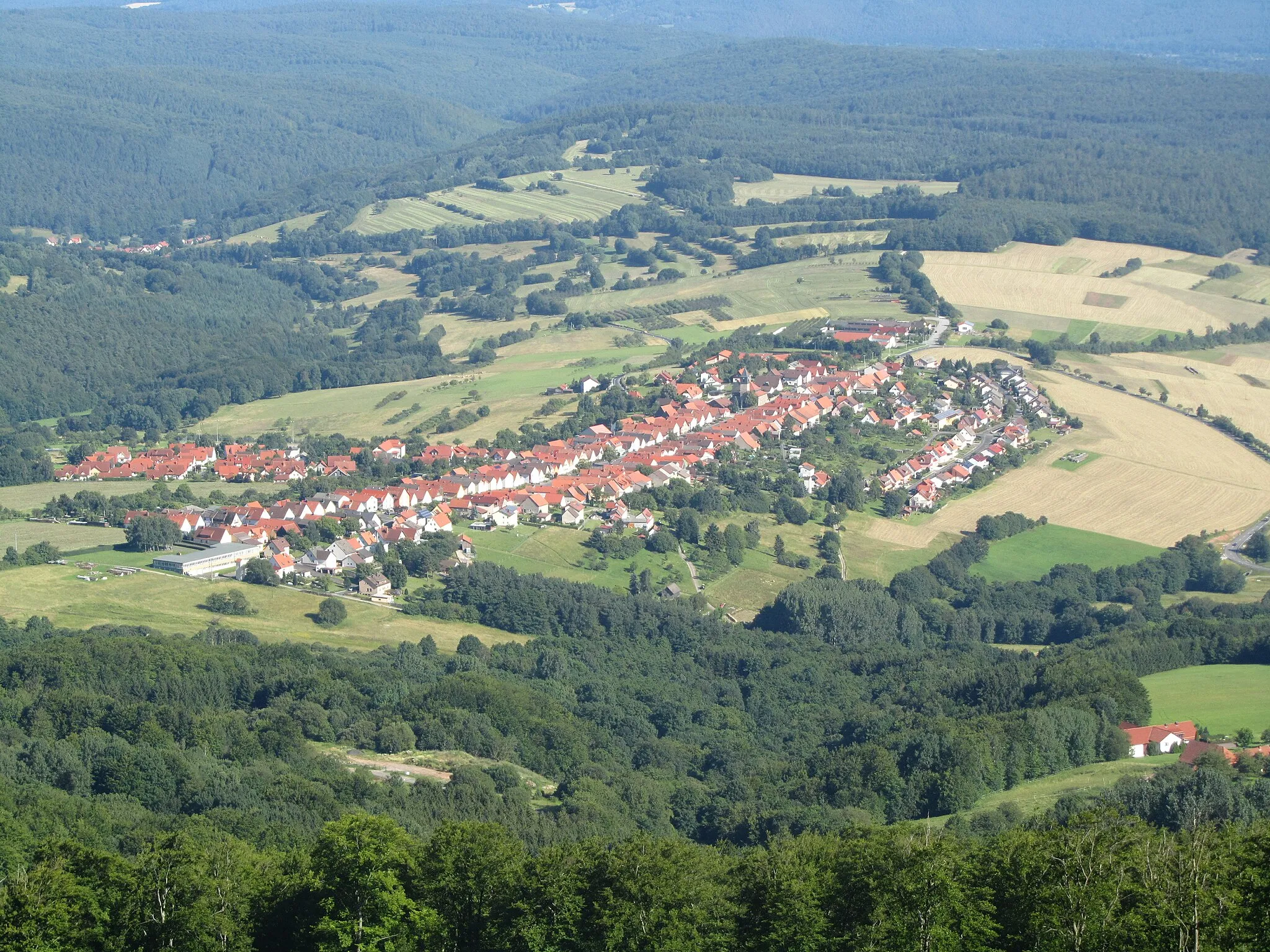
OberthulbaVillagePass by Oberthulba, known for its picturesque half-timbered houses and traditional Bavarian architecture.
19 km
19 km
Büchelberg445 mPeakAdmire the beauty of Büchelberg, a small village located amidst rolling hills and forests.
43 km
43 km
Koppe297 mPeakCycle up to Koppe and enjoy the breathtaking views of the surrounding countryside from its peak.
43 km
43 km
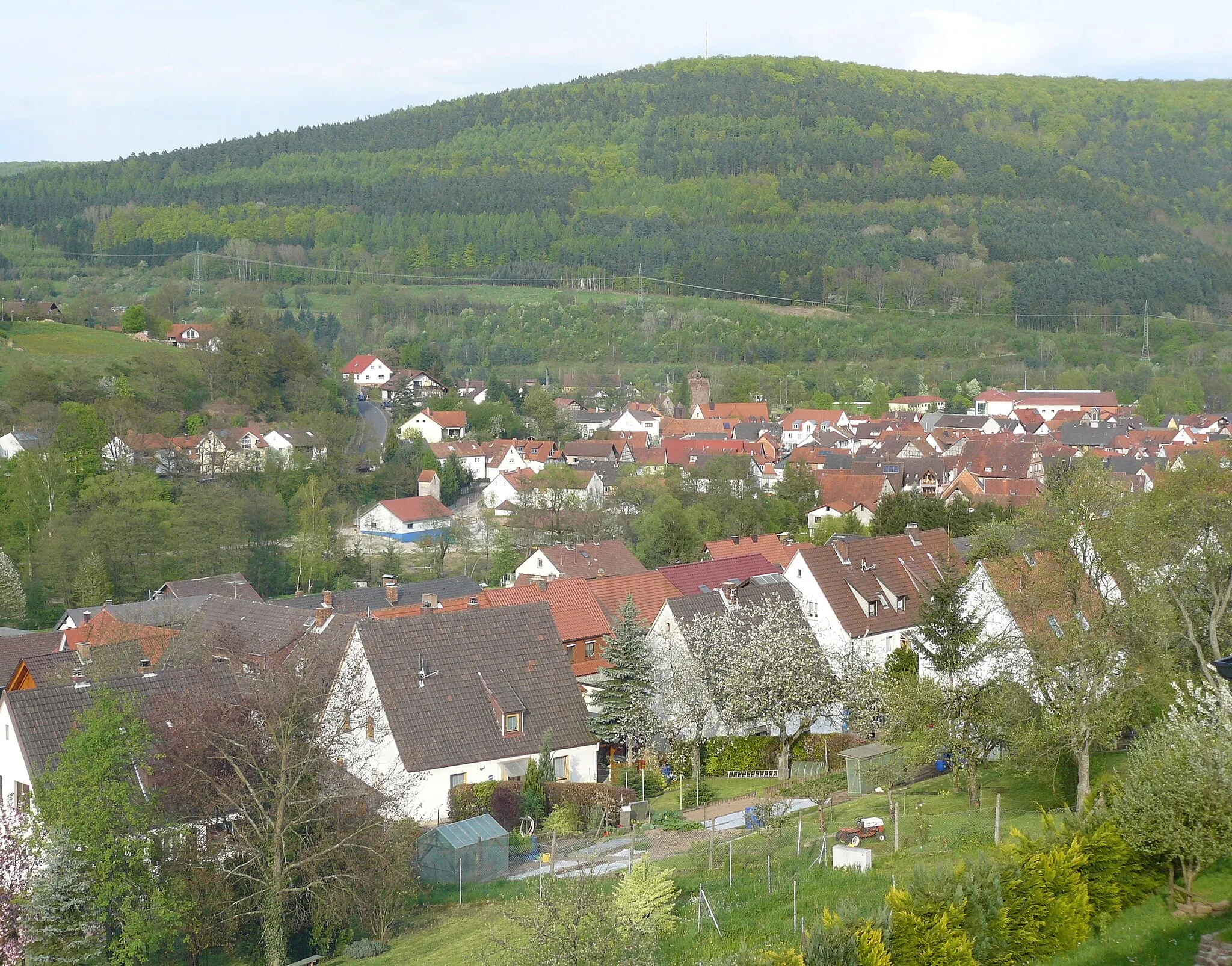
Gemünden am MainTownExplore the idyllic town of Gemünden am Main, offering stunning views of the Main River and charming streets.
62 km
62 km
BurgsinnVillageExperience the enchanting atmosphere of Burgsinn, a historic town with a picturesque castle.
76 km
76 km
Grauberg349 mPeakMarvel at the beauty of Grauberg, a hilltop fortress that offers panoramic views of the region.
81 km
81 km
ZeitlofsVillageVisit Zeitlofs and immerse yourself in its peaceful and tranquil ambiance, surrounded by nature.
94 km
94 km
OberleichtersbachVillageDiscover Oberleichtersbach, a charming village known for its scenic landscapes and quaint architecture.
95 km
95 km
Ehrenberg484 mPeakExplore the historic town of Ehrenberg and admire its well-preserved medieval buildings.
106 km
106 km
Platzer Kuppe737 mPeakCycle up to Platzer Kuppe and experience the thrill of conquering one of the region's legendary climbs.
111 km
111 km
StangenrothVillageFinish your epic journey in Stangenroth, a quaint village known for its scenic beauty and rural charm.
114 km
114 km
Finish: Wollbach Village centerBurkardroth: A Haven for Road and Gravel Cycling in Unterfranken
Cycling routes from Burkardroth:
The Gravel Adventure The Road to Adventure The Road to Scenic Beauty The Gravel Escape The Ultimate Challenge Rhön Mountains Circuit Discover the Countryside Gravel Adventure in the Rhön Rhön Grand Tour Charming Gravel Ride Unterfranken Gravel Adventure Unterfranken Highlights Road Loop Burkardroth Gravel Adventure Explore The Wilderness: Unterfranken Road Trip Burkardroth and Beyond: Gravel Adventure Burkardroth Loop
Cycling routes nearby: