Wart Loop
A road cycling route starting from Hofheim in Unterfranken
A scenic route with a challenging ascent
Map
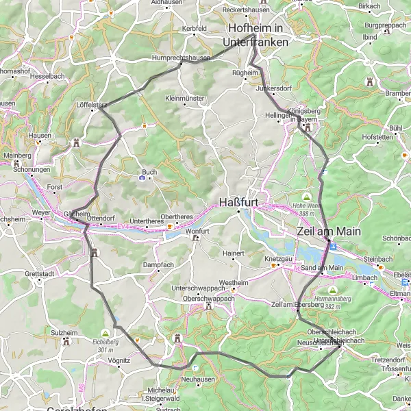
Embark on the Wart Loop, a picturesque round-trip cycling route starting in Hofheim in Unterfranken. The route covers a distance of 80 kilometers and offers a total ascent of 951 meters. With its beautiful landscapes and challenging terrain, this route is ideal for experienced cyclists looking for a satisfying workout.
road
80 km
951 m
Tough
Route profile
Highlights on the route
0 km
0 km
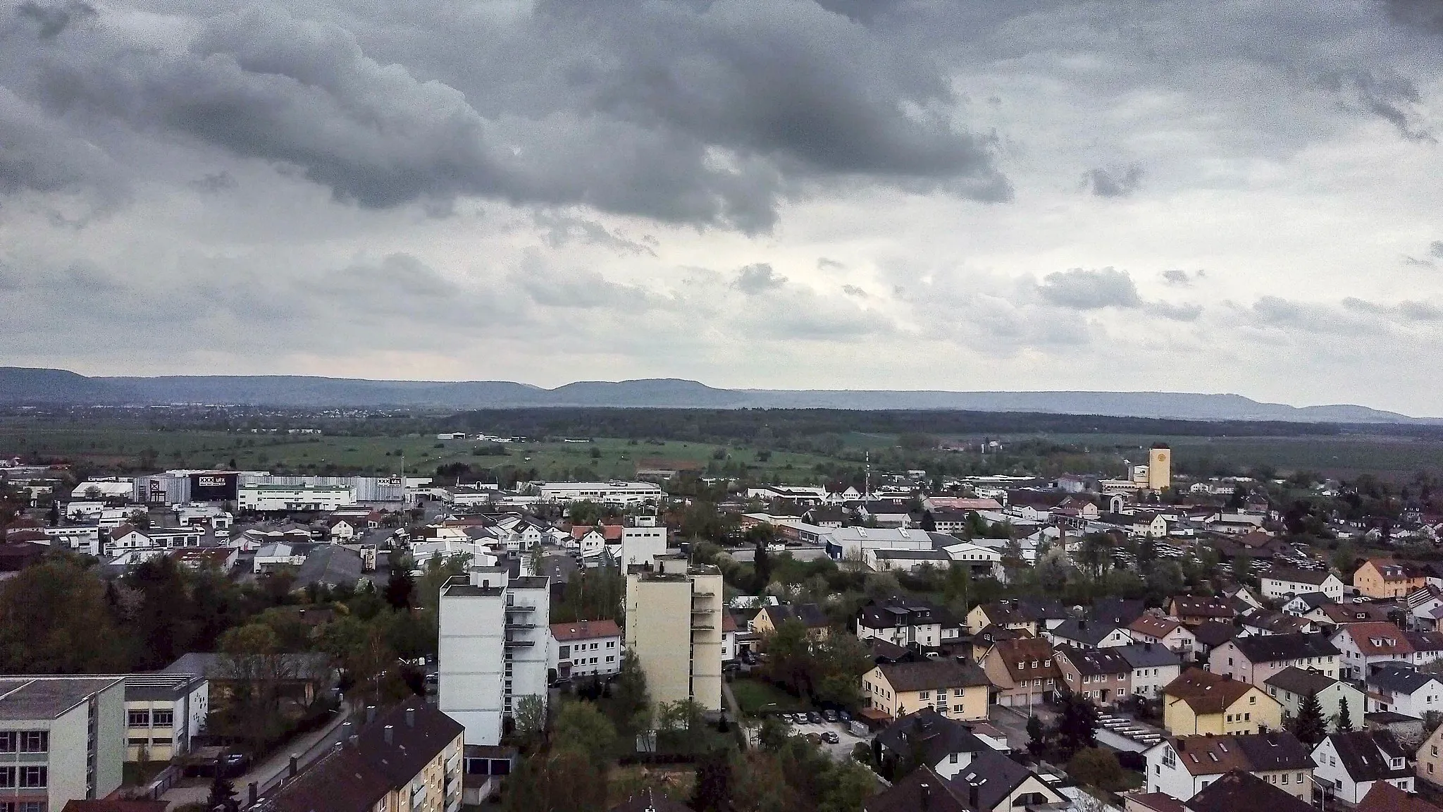
Start: Hofheim in Unterfranken City centerHofheim in Unterfranken: Cycling Paradise in Unterfranken
Hofheim in Unterfranken is a small town located in the region of Unterfranken, Germany. From a cyclist's perspective, Hofheim offers picturesque countryside routes with quiet roads and beautiful scenery. There are various options for road cycling and gravel riding, making it suitable for both types of cyclists. The area is known for its rolling hills, which provide a good challenge for cyclists. Nearby, you can find the notorious Gemündener Maar climb, which is a popular spot among road cyclists. Overall, Hofheim in Unterfranken is a great destination for cyclists looking for peaceful routes and challenging climbs.9 km
9 km
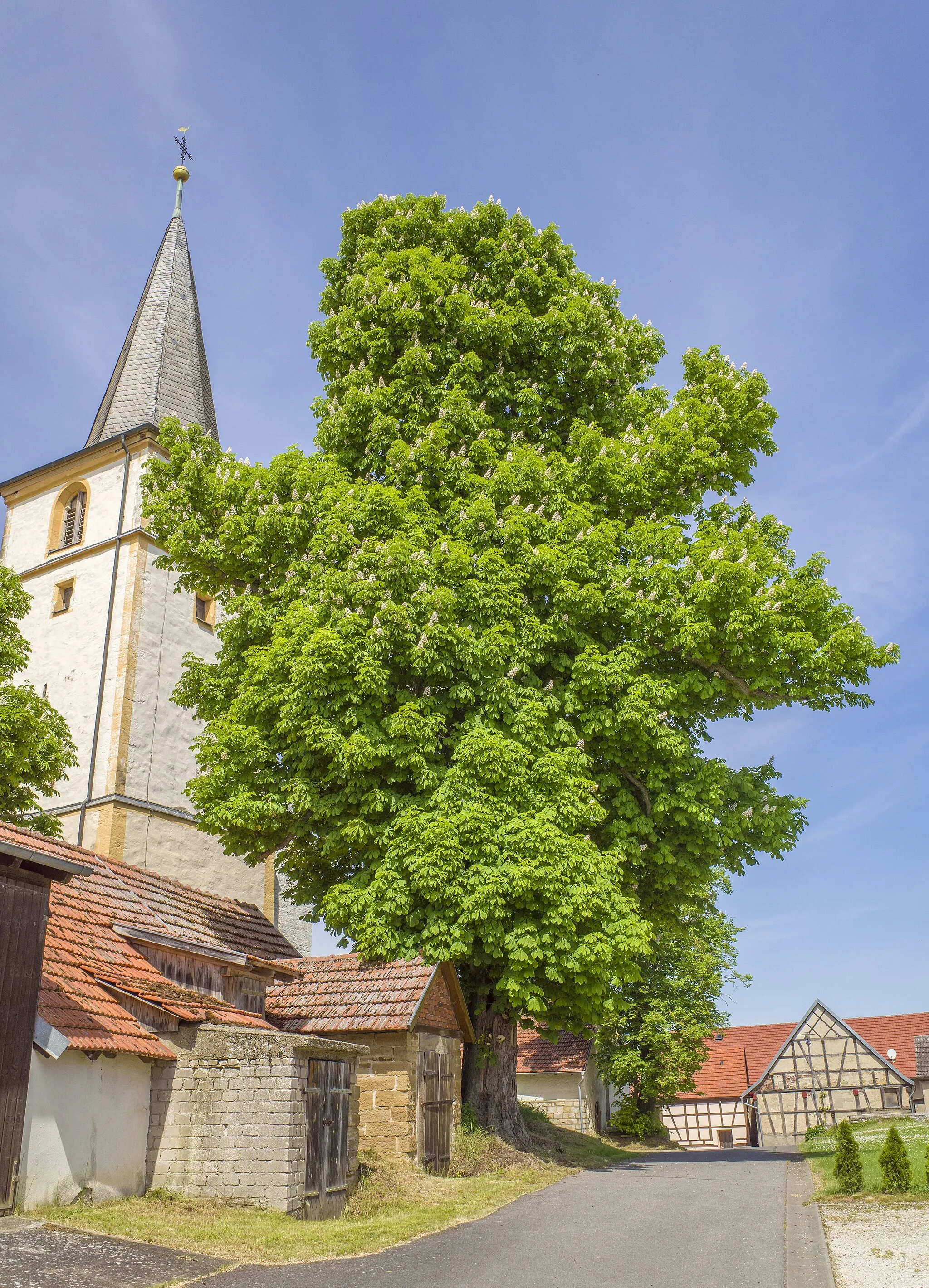
WartViewpointMake a stop in Wart, a charming village known for its historic architecture and cultural heritage.
17 km
17 km
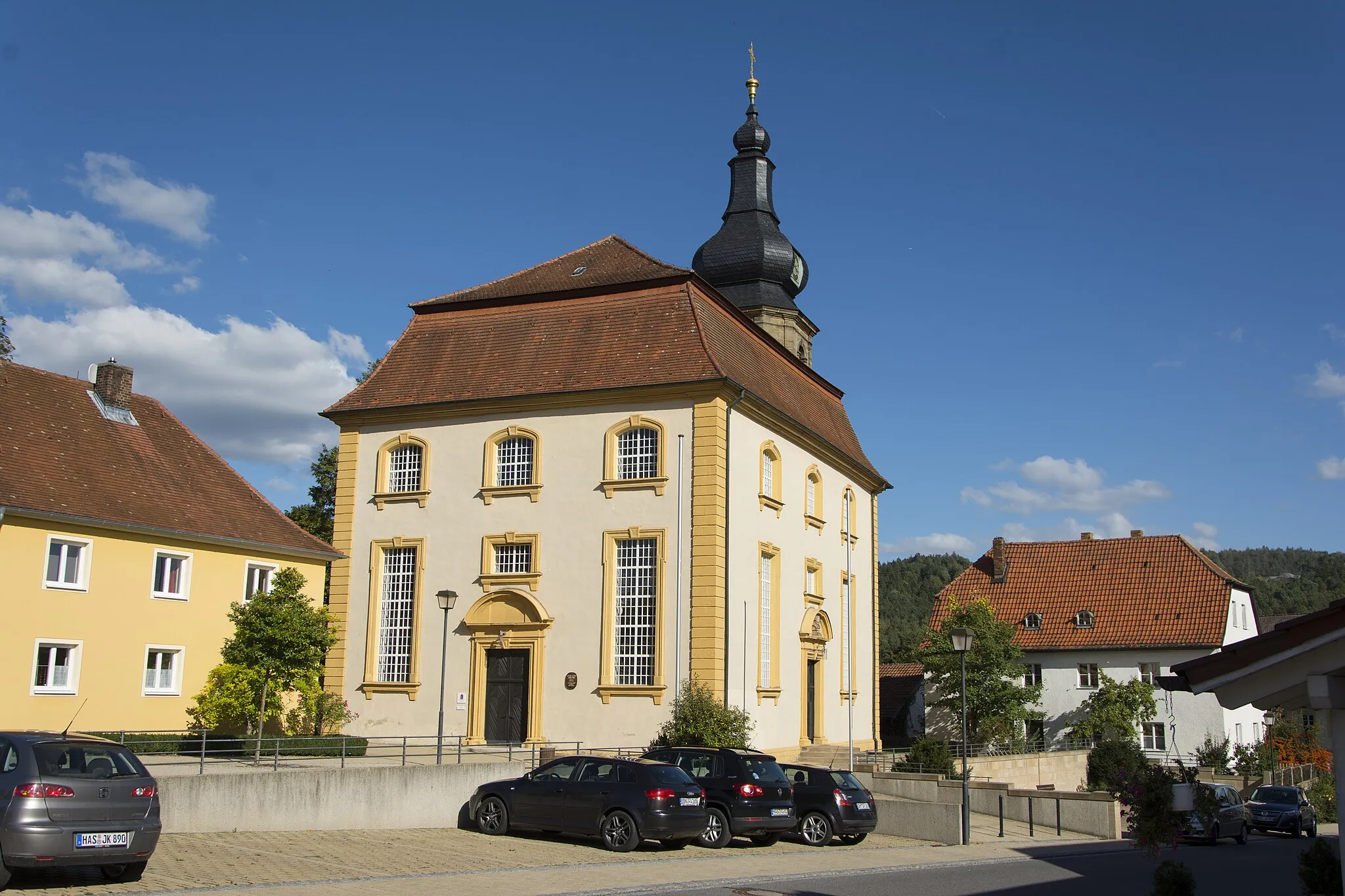
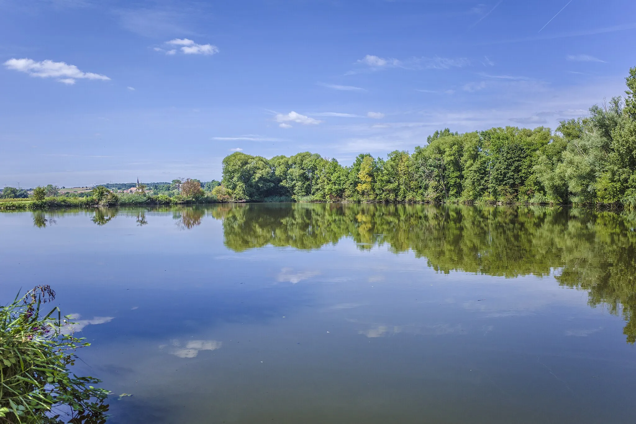
Zeil am MainTownAt the 17-kilometer mark, you'll reach Zeil am Main, a historic town with stunning views of the Main River.
29 km
29 km
NeuschleichachVillageNeuschleichach, located at the 29-kilometer point, offers a peaceful and bucolic atmosphere with its idyllic countryside scenery.
37 km
37 km
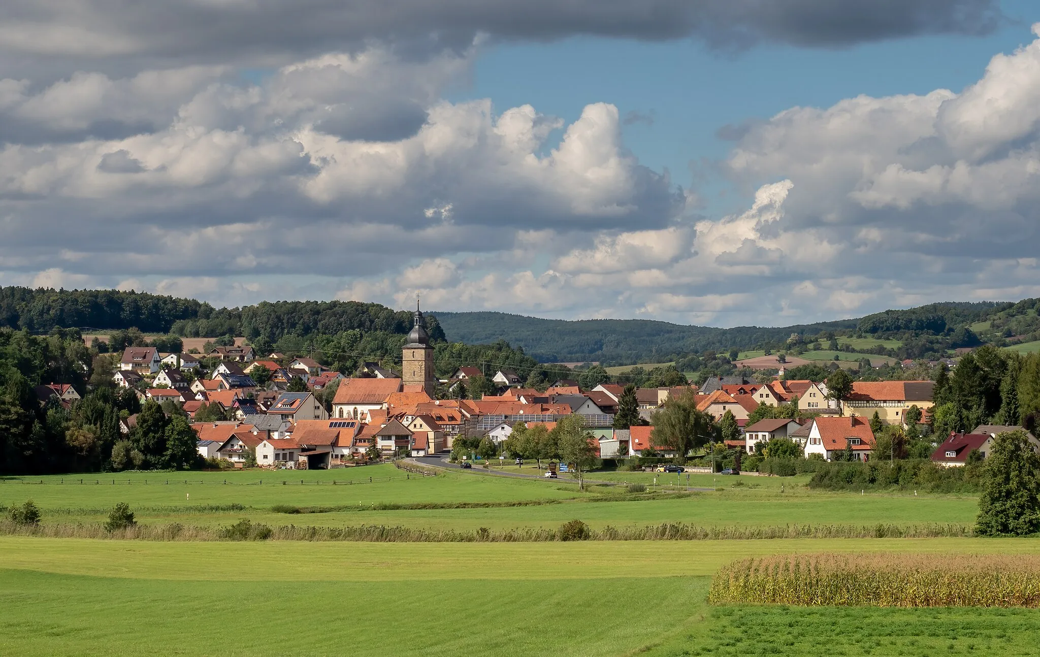
Bocksberg459 mPeakBocksberg, a small village 37 kilometers into the route, is home to traditional Franconian architecture and friendly locals.
47 km
47 km
Eichelberg301 mPeakAt 47 kilometers, you'll encounter Eichelberg, a charming hilltop village with panoramic views of the surrounding countryside.
55 km
55 km
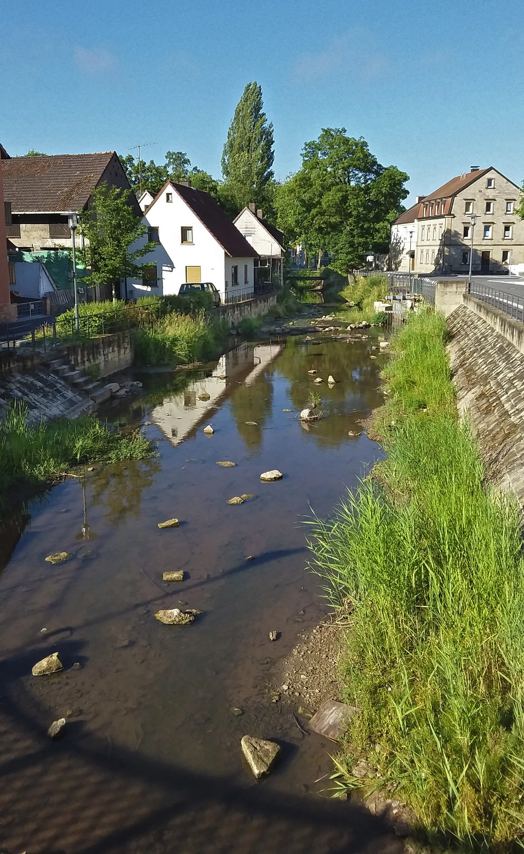
UntereuerheimVillageUntereuerheim, situated at the 55-kilometer mark, is known for its quaint half-timbered houses and tranquil atmosphere.
74 km
74 km
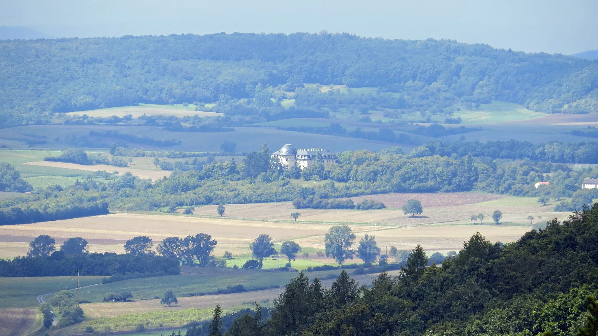
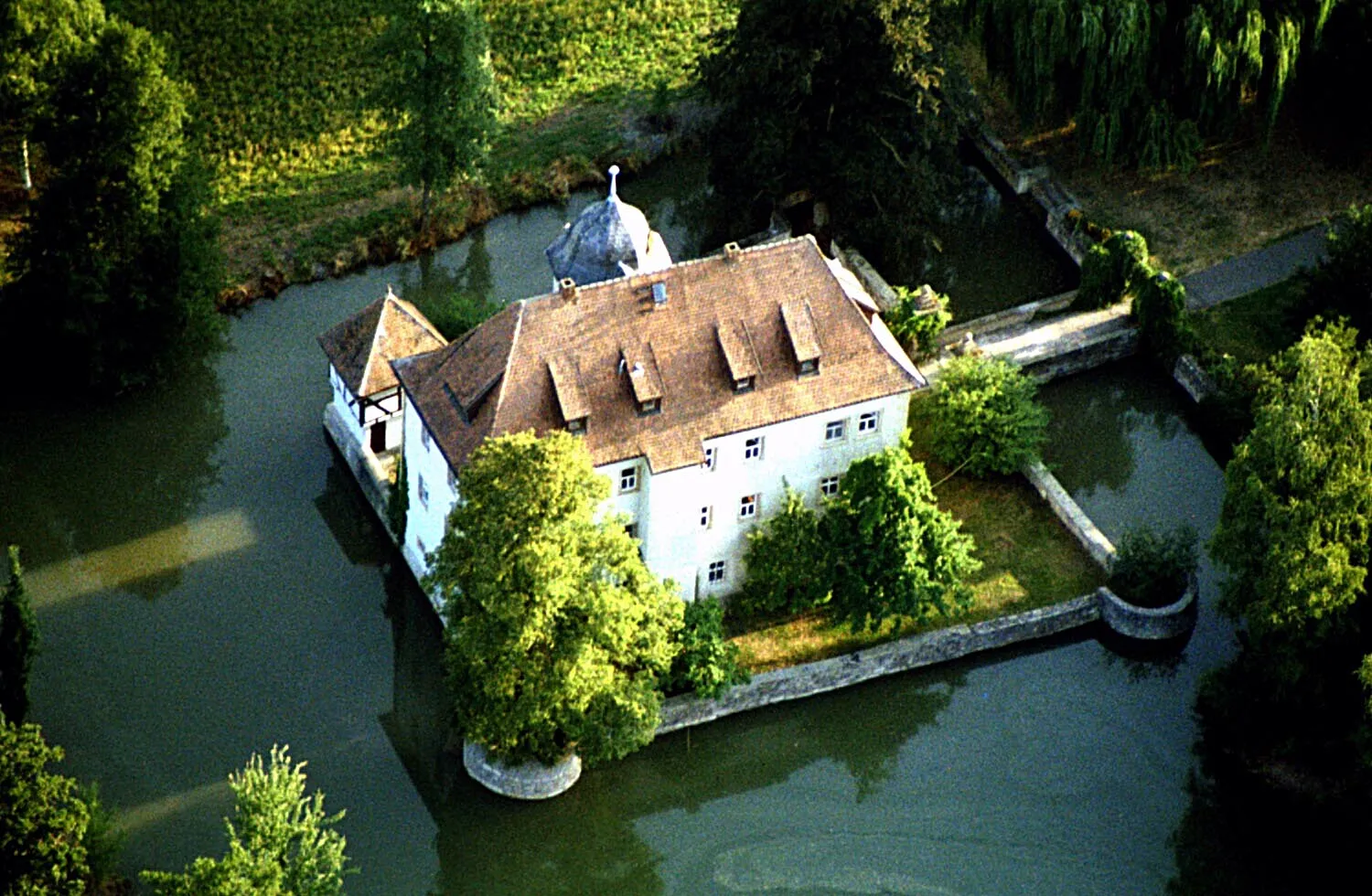
HumprechtshausenVillageMake sure to visit Humprechtshausen at the 74-kilometer point, where you'll find the famous Humprechtshausen Castle, a popular tourist attraction.
80 km
80 km
Finish: Hofheim in Unterfranken City centerHofheim in Unterfranken: Cycling Paradise in Unterfranken
Cycling routes nearby: