Gravel Adventure in Eastern Slovakia
A gravel cycling route starting from Klokocov
Embark on an exciting gravel cycling adventure through the beautiful landscapes of Eastern Slovakia
Map
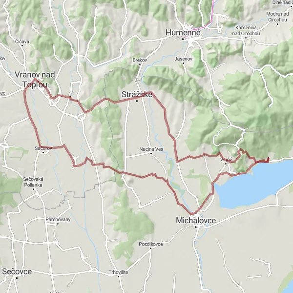
Experience the thrill of gravel cycling in Eastern Slovakia on this 82 km route. With a total ascent of 566 m, this adventure takes you through diverse terrain, including peaceful forests, charming villages, and rolling meadows. Highlights along the way include the breathtaking Vysoká hôrka viewpoint, the historic town of Michalovce, and the picturesque Hôrka area. Cycle through the scenic Sačurov region before reaching the Červený kameň area, famous for its unique red rock formations. Don't miss the charming village of Strážske and the beautiful vineyards of Vinné. Finally, admire the stunning Skala rock formation before returning to Klokočov.
gravel
82 km
566 m
Chill
Route profile
Highlights on the route
0 km
0 km
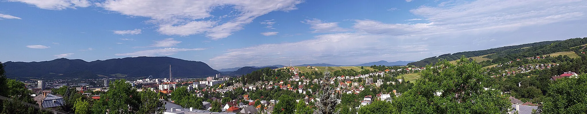
Start: Klokočov Village centerKlokočov: Cycling Amongst Beautiful Countryside in Klokočov
Klokočov is a locality situated in Východné Slovensko region of Slovakia. From a cyclist's perspective, Klokočov offers scenic routes with beautiful countryside landscapes and moderate elevation changes. The roads in the area are generally well-maintained, making it suitable for road and gravel cycling. While there are no famous cycling spots or well-known climbs directly in Klokočov, cyclists can explore nearby areas such as the Slovenský raj National Park and the Low Tatras, which offer challenging climbs and stunning views.5 km
5 km
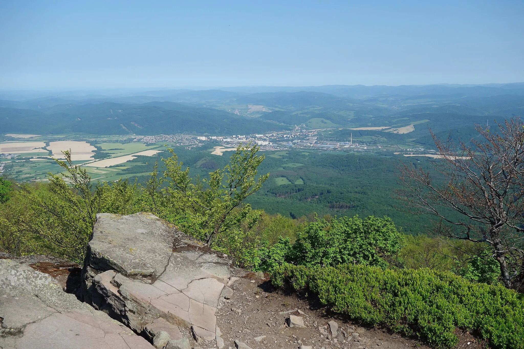
Vysoká hôrka174 mPeakVisit the Vysoká hôrka viewpoint for a breathtaking panoramic view of the surrounding landscapes and the nearby Tatra Mountains.
12 km
12 km
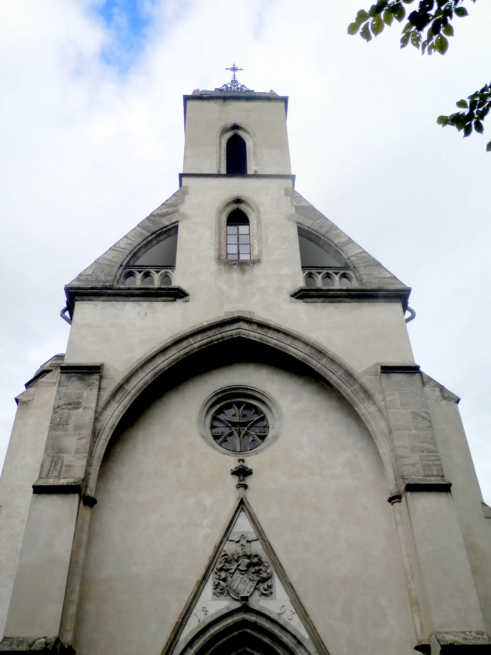
MichalovceTownDiscover the historic town of Michalovce, known for its charming architecture and cultural events.
21 km
21 km
Hôrka228 mPeakThe Hôrka area offers beautiful natural scenery, including lush forests and crystal-clear streams.
34 km
34 km
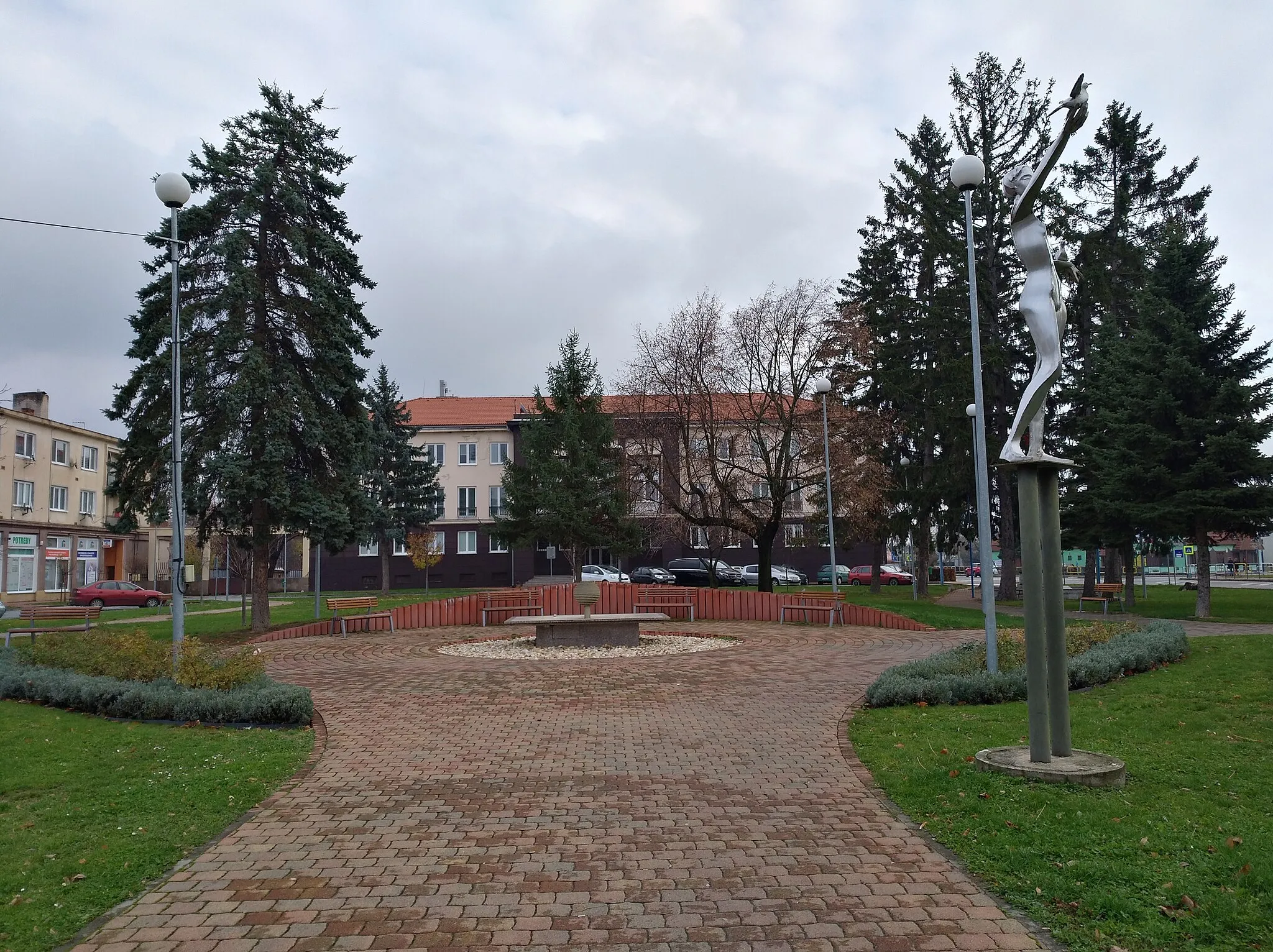
SačurovVillageCycle through the picturesque Sačurov region and enjoy the tranquility of its peaceful countryside.
50 km
50 km
Červený kameň232 mPeakExperience the unique Červený kameň area with its fascinating red rock formations, a true hidden gem.
57 km
57 km
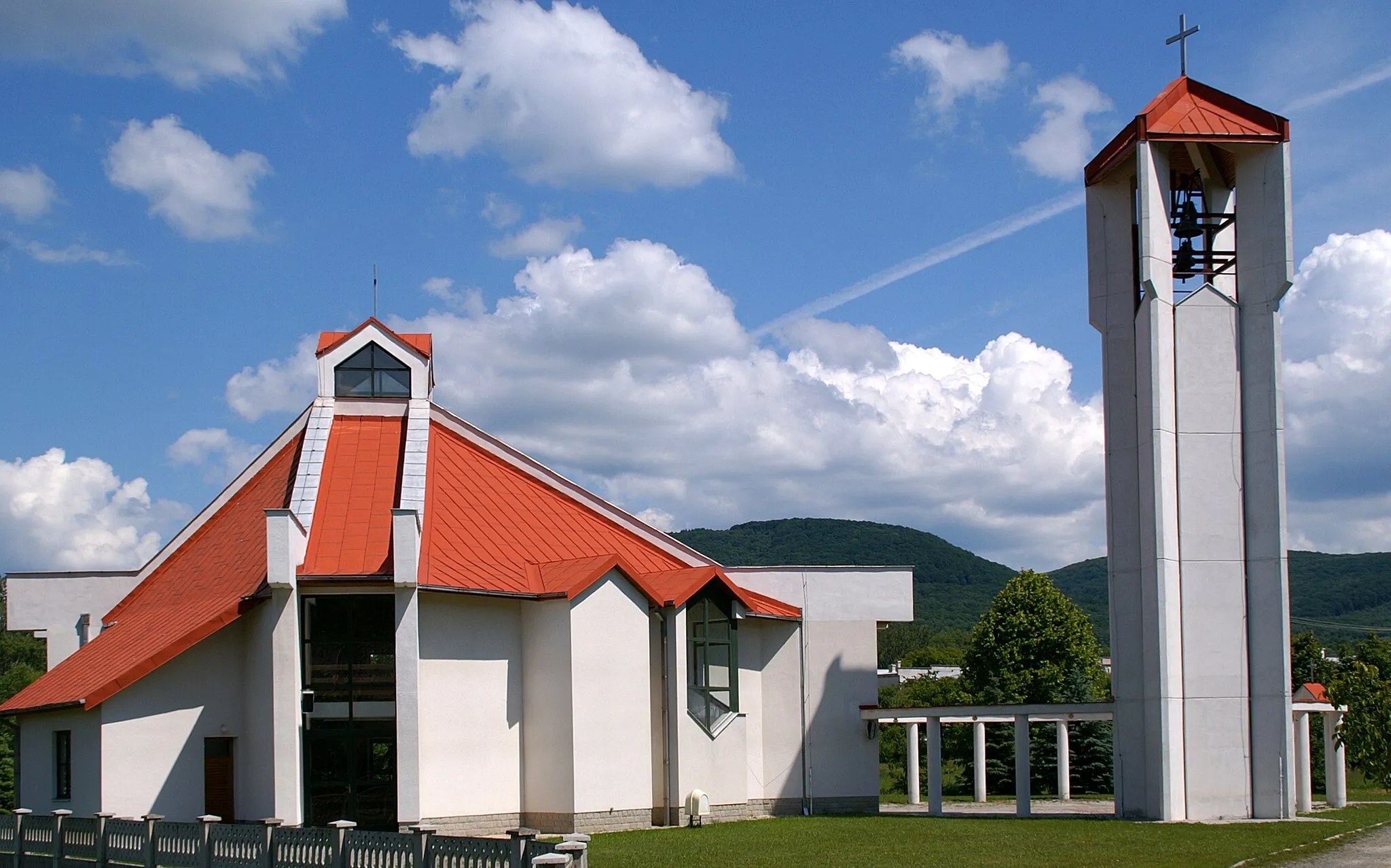
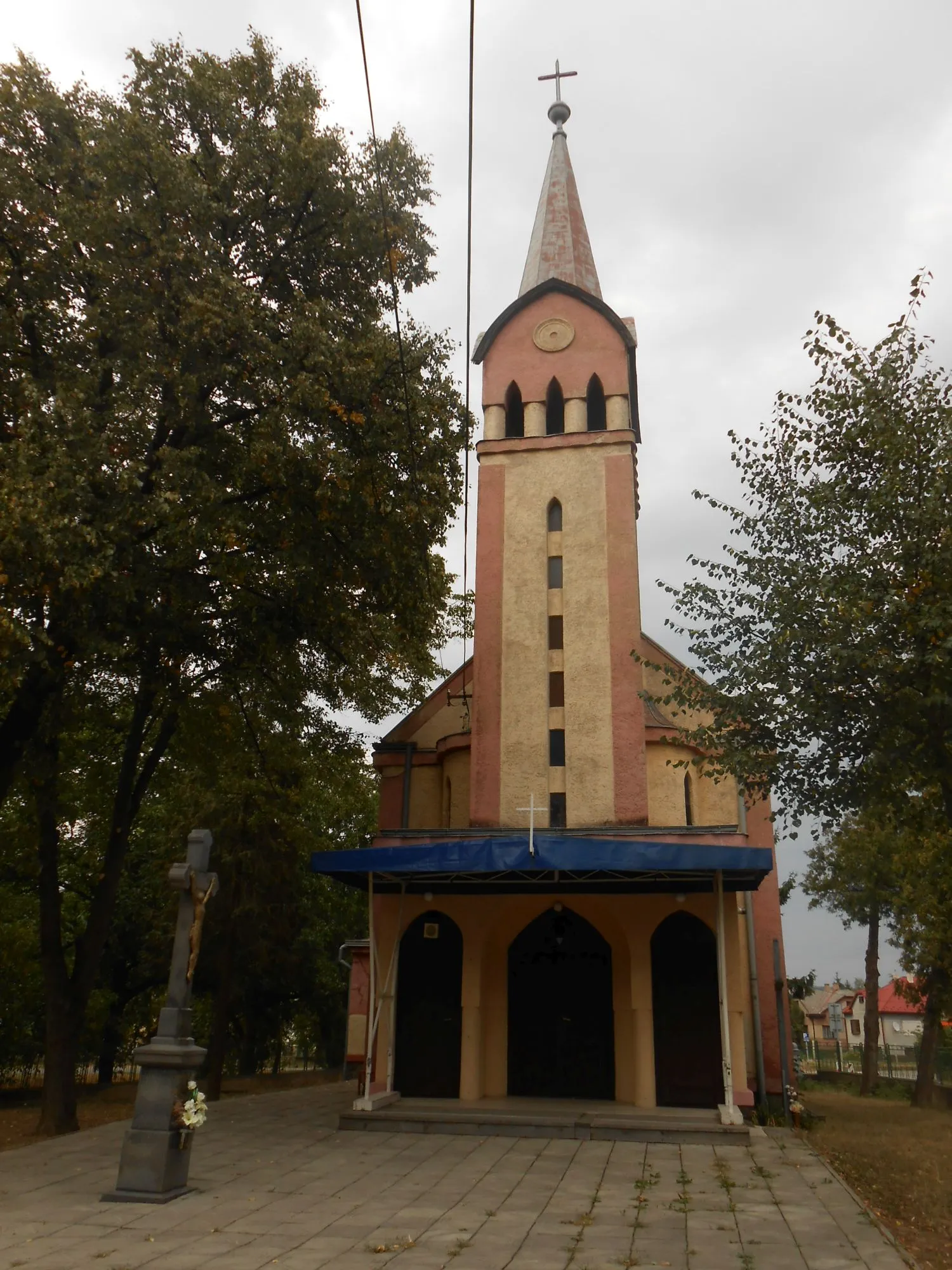
StrážskeTownExplore the charming village of Strážske and immerse yourself in its rich cultural heritage.
74 km
74 km
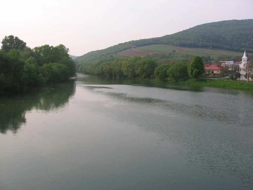
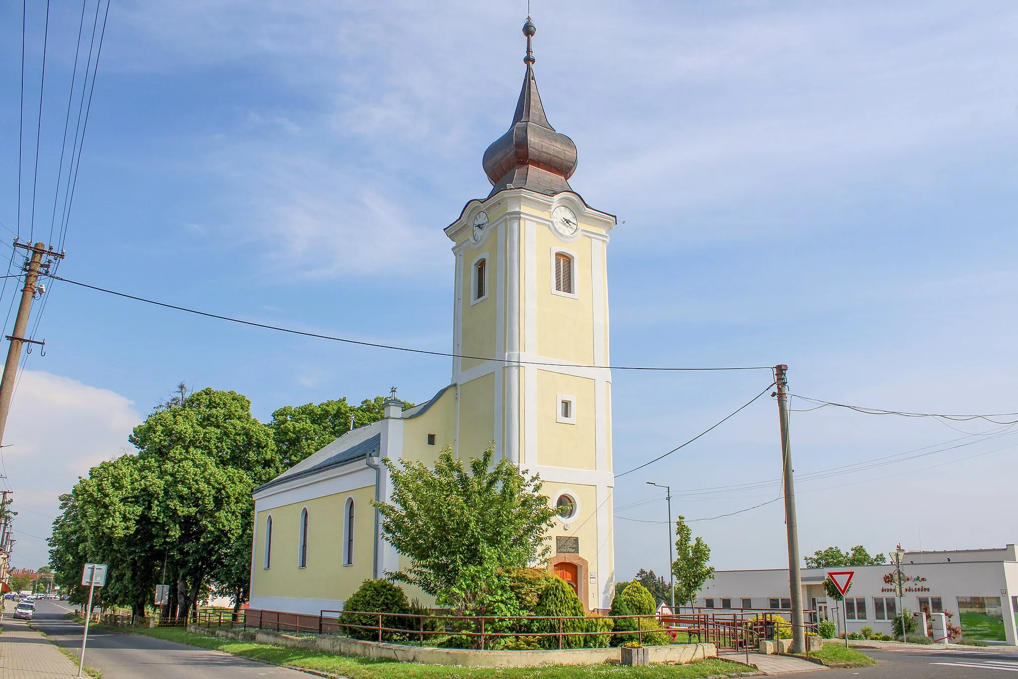
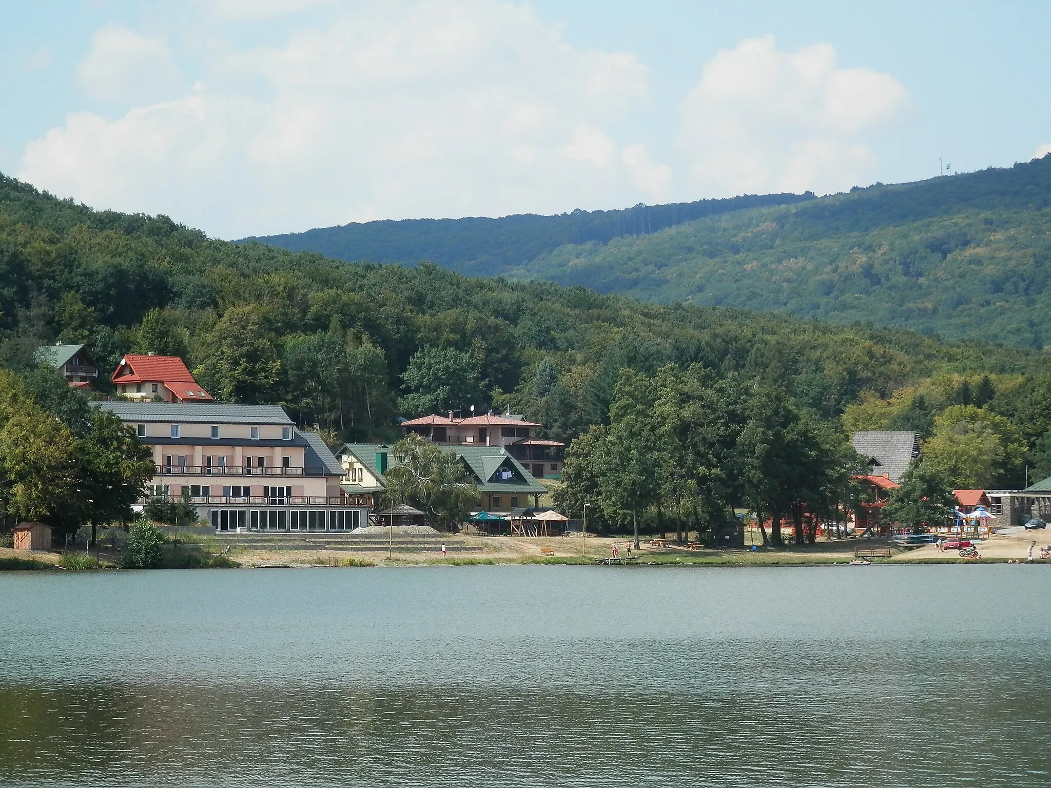
VinnéVillagePass through the scenic vineyards of Vinné and be enchanted by the beauty of the surrounding landscapes.
78 km
78 km
Skala379 mPeakAdmire the impressive Skala rock formation, created by natural erosion over millions of years.
82 km
82 km
Finish: Klokočov Village centerKlokočov: Cycling Amongst Beautiful Countryside in Klokočov
Cycling routes from Klokocov:
Gravel Adventure in Eastern Slovakia Gravel Cycling Expedition in Eastern Slovakia Eastern Slovakia Road Loop Eastern Slovakia Road Adventure Road Cycling Adventure in Eastern Slovakia Road Cycling Adventure near Klokočov Explore the Beauty of Východné Slovensko Road Cycling in Eastern Slovakia Klokočov Gravel Loop Scenic Road Cycling Tour in Eastern Slovakia and Ukraine
Cycling routes nearby: