Láchar Gravel Route
A gravel cycling route starting from Lachar
Enjoy the countryside and historic sites on this scenic gravel route near Láchar.
Map
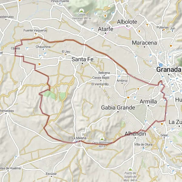
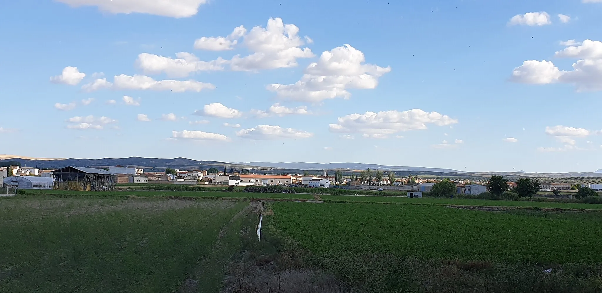
This gravel route near Láchar combines natural beauty and cultural heritage, offering a diverse and enjoyable cycling experience. With a distance of 60 kilometers and an ascent of 546 meters, it is suitable for both intermediate and advanced cyclists. The route takes you through picturesque villages and offers stunning views of the surrounding landscapes.
gravel
60 km
546 m
Tough
Route profile
Highlights on the route
0 km
0 km
Start: Cijuela Village centerLáchar: Embark on rewarding rides and take on the Sierra de Cogollos climb in Láchar.
Láchar in Andalucía, Spain, offers a satisfying cycling experience. The roads are generally well-maintained, allowing for smooth rides. The terrain is mostly flat to rolling, catering to both leisurely and moderately challenging rides. One popular spot for cyclists in the area is the Sierra de Cogollos climb, which provides a rewarding challenge with stunning views. Láchar may not be as renowned as other Spanish cycling destinations, but it offers a decent cycling locality with diverse terrain and access to notable climbs.0 km
0 km
CijuelaVillageCijuela: Explore the charming village of Cijuela, known for its traditional architecture and rich history.
6 km
6 km
Pedro RuizHamletPedro Ruiz: Admire the stunning surroundings as you pass through Pedro Ruiz, a peaceful and scenic area.
22 km
22 km
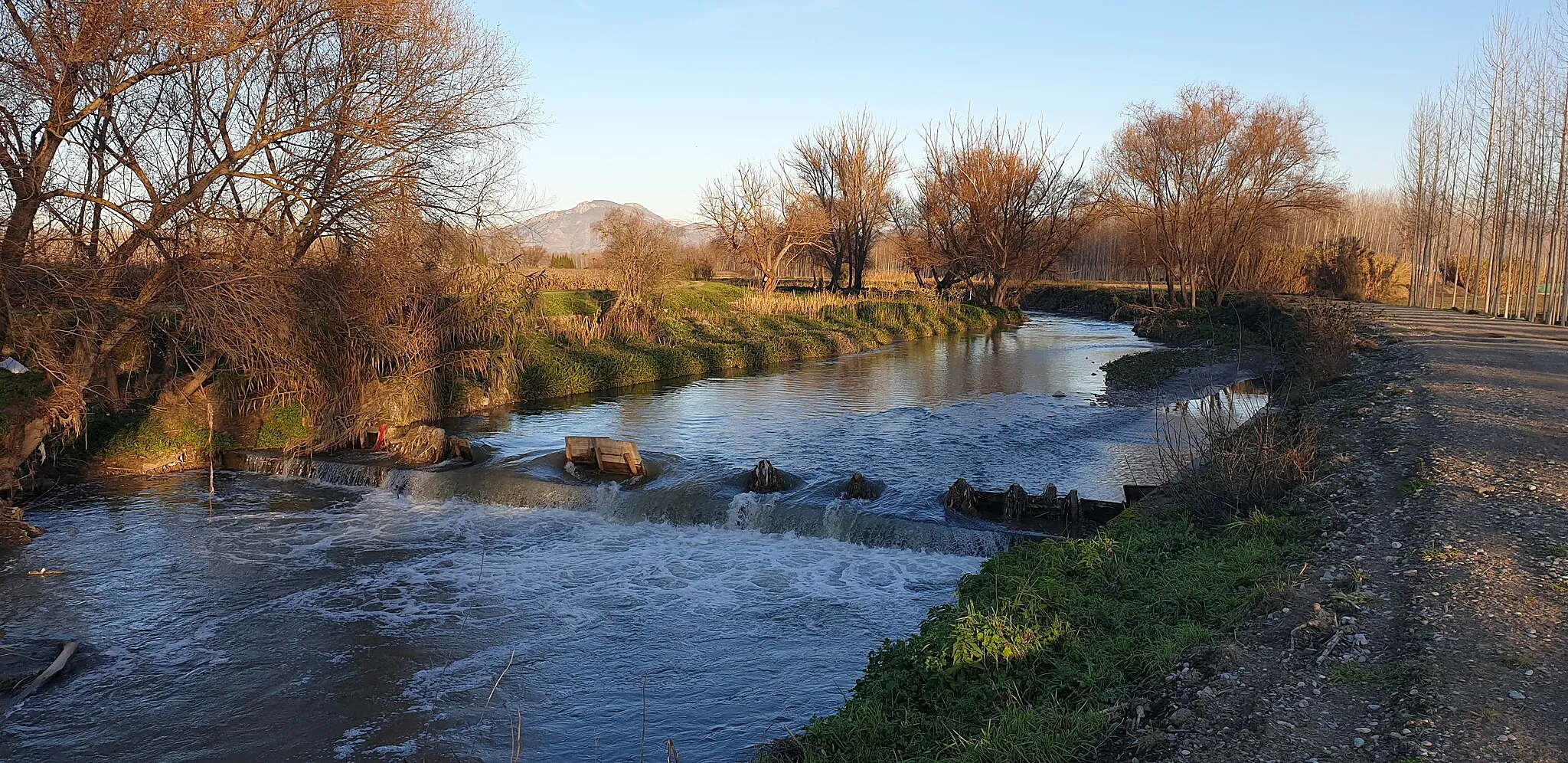
Alcázar GenilCastleAlcázar Genil: Discover the historic Alcázar Genil, a fortress that offers panoramic views of the Genil River and surrounding valleys.
35 km
35 km
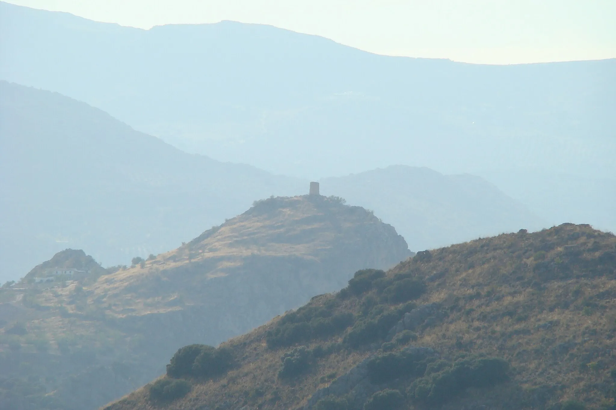
Cerro del Gallo832 mPeakCerro del Gallo: Reach the highest point of the route at Cerro del Gallo and enjoy breathtaking vistas of the countryside.
40 km
40 km
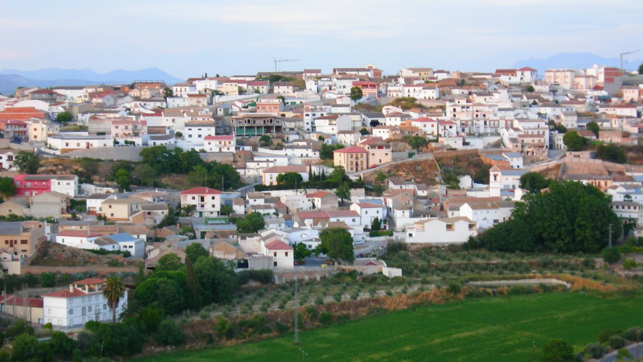
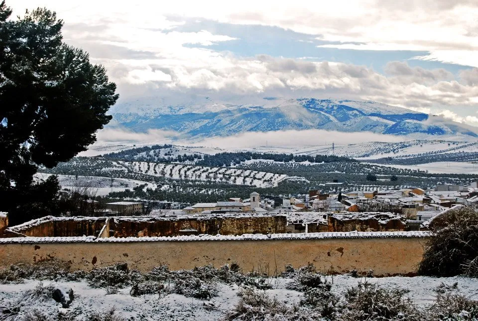
La MalaháVillageLa Malahá: Visit the charming town of La Malahá and experience its traditional Andalusian atmosphere.
60 km
60 km
Finish: Cijuela Village centerLáchar: Embark on rewarding rides and take on the Sierra de Cogollos climb in Láchar.
Cycling routes nearby: