Fuensanta Gravel Route
A gravel cycling route starting from Lachar
Embark on an adventurous gravel ride through breathtaking landscapes on the Fuensanta route.
Map
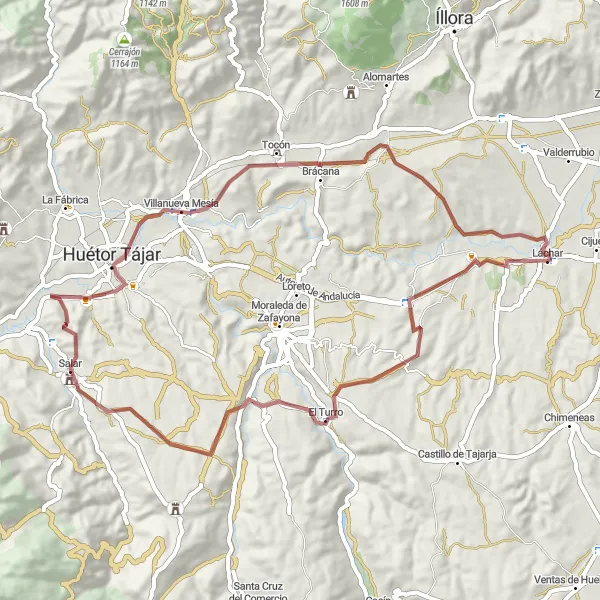
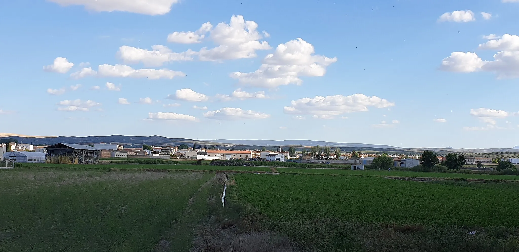
With a distance of 66 kilometers and an ascent of 869 meters, the Fuensanta gravel route is perfect for those seeking an adrenaline-filled cycling adventure. This route will take you through diverse terrains, offering unparalleled views of the Andalusian countryside. Along the way, you will encounter hidden gems and charming villages.
gravel
66 km
869 m
Tough
Route profile
Highlights on the route
0 km
0 km
Start: Láchar Village centerLáchar: Embark on rewarding rides and take on the Sierra de Cogollos climb in Láchar.
Láchar in Andalucía, Spain, offers a satisfying cycling experience. The roads are generally well-maintained, allowing for smooth rides. The terrain is mostly flat to rolling, catering to both leisurely and moderately challenging rides. One popular spot for cyclists in the area is the Sierra de Cogollos climb, which provides a rewarding challenge with stunning views. Láchar may not be as renowned as other Spanish cycling destinations, but it offers a decent cycling locality with diverse terrain and access to notable climbs.7 km
7 km
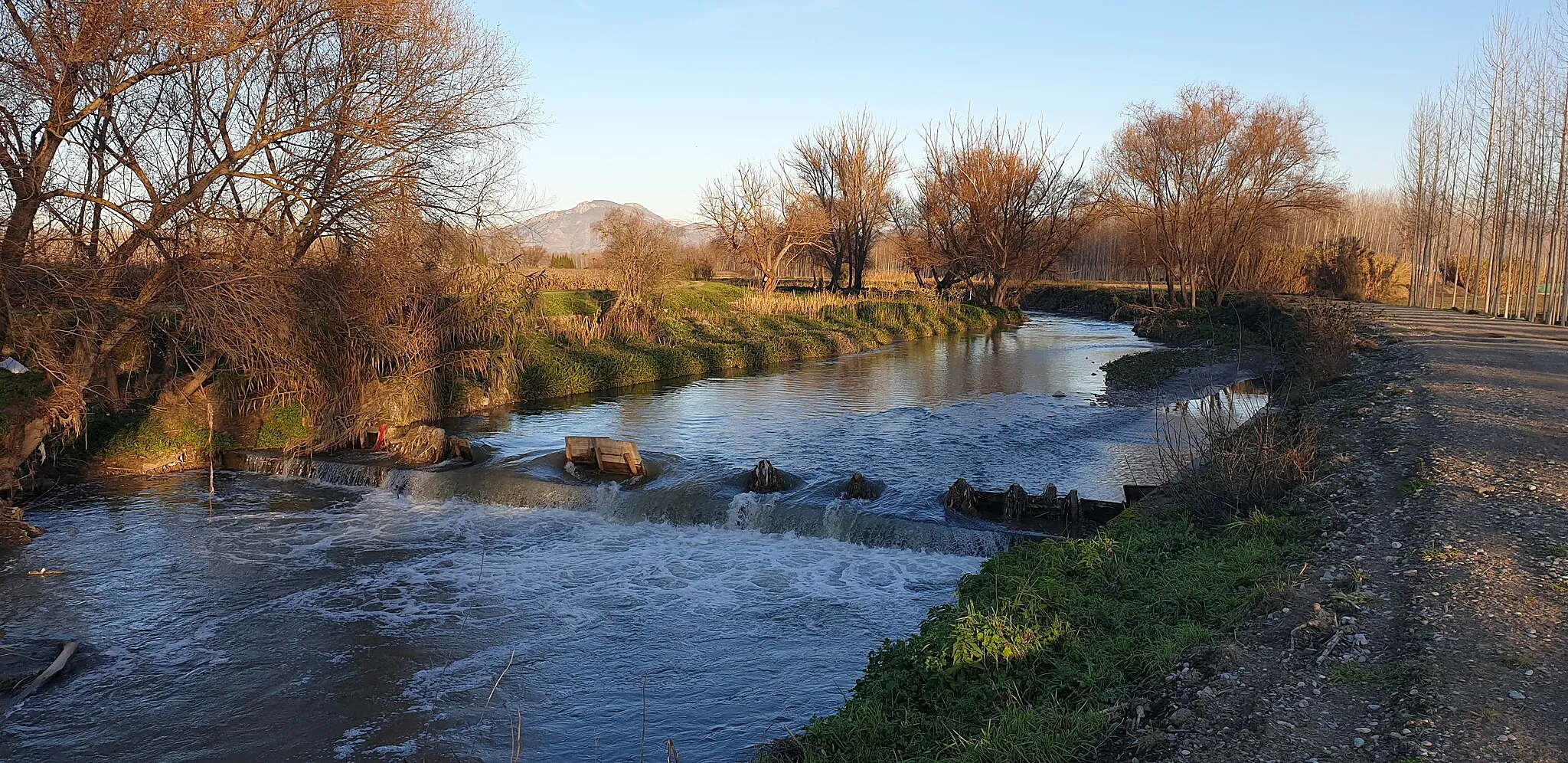
FuensantaHamletFuensanta: Explore the scenic village of Fuensanta, nestled amidst picturesque hills and olive groves.
16 km
16 km
El TurroVillageEl Turro: Take a break and appreciate the tranquility of El Turro, a small village known for its beautiful landscapes.
31 km
31 km
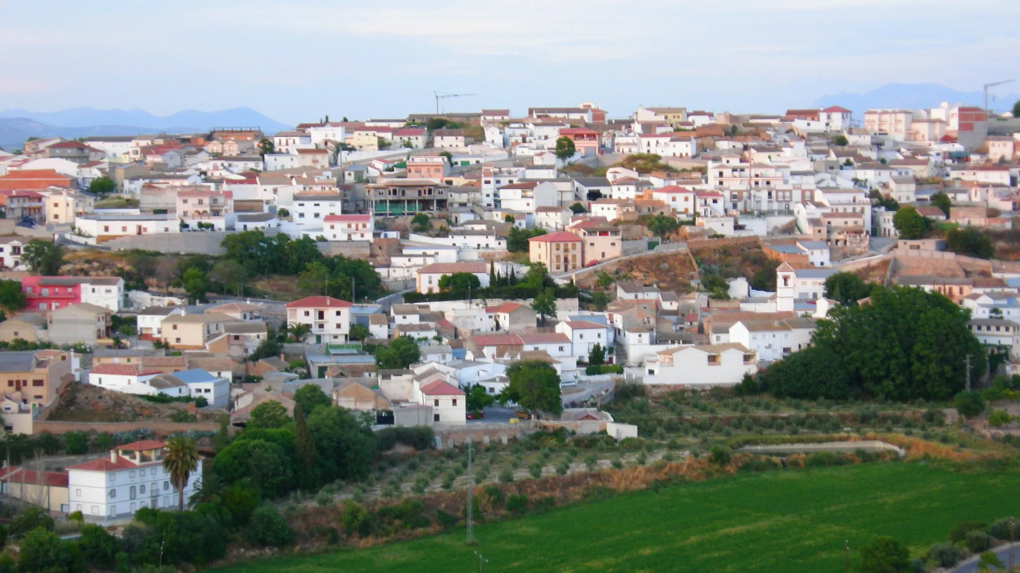
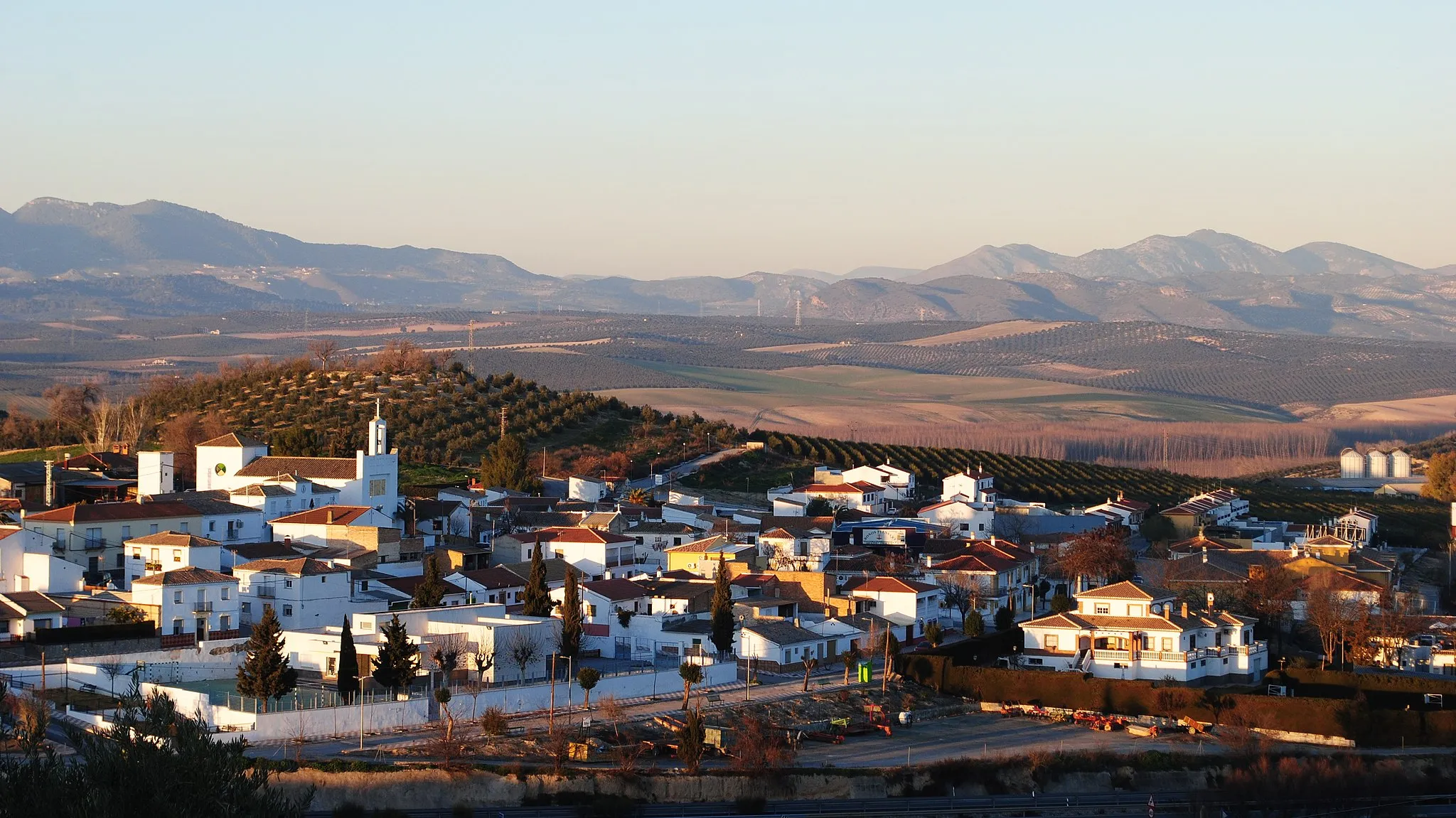
SalarVillageSalar: Discover the enchanting village of Salar, famous for its traditional white-washed houses and narrow streets.
34 km
34 km
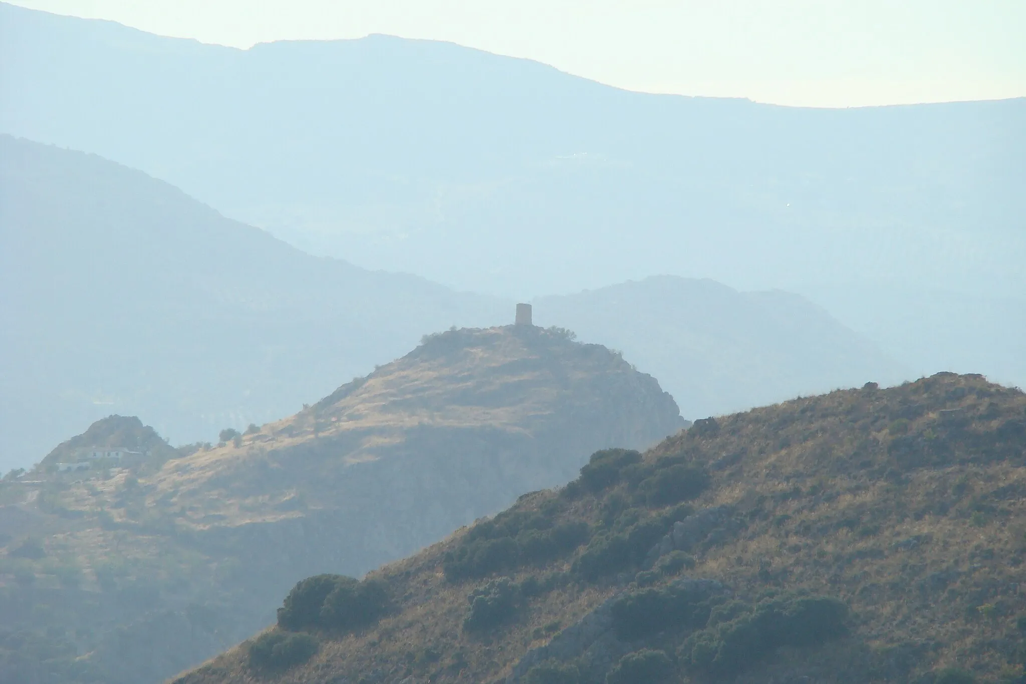
Limones623 mPeakLimones: Pass through the secluded area of Limones and soak in the mesmerizing views of the surrounding mountains.
39 km
39 km
Parejo579 mPeakParejo: Visit the charming village of Parejo and admire its typical Andalusian architecture and cozy atmosphere.
66 km
66 km
LácharVillageLáchar: Start and finish your journey in Láchar, a small town with a rich cultural and historical heritage.
66 km
66 km
Finish: Láchar Village centerLáchar: Embark on rewarding rides and take on the Sierra de Cogollos climb in Láchar.
Cycling routes nearby: