The Peñuelas Challenge
A road cycling route starting from Lachar
Climb up to the stunning viewpoint of Peñuelas
Map

Embark on a challenging road cycling route that takes you through beautiful landscapes and climbs up to the breathtaking Peñuelas viewpoint. With a total ascent of 1365 meters and a distance of 98 kilometers, this route is perfect for experienced cyclists seeking a thrilling adventure. The route starts near Láchar and passes through highlights like Moraleda de Zafayona, Ramírez, Loma de las Granjas, Casa de los Oficios, and the National Geographic Viewpoint. Prepare yourself for a demanding yet rewarding journey through picturesque Andalucía.
road
98 km
1365 m
Tough
Route profile
Highlights on the route
0 km
0 km
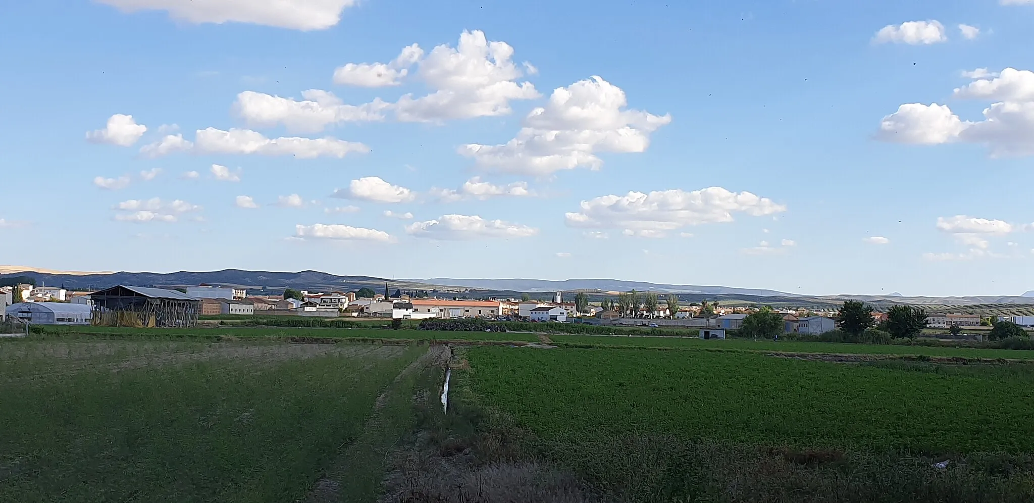
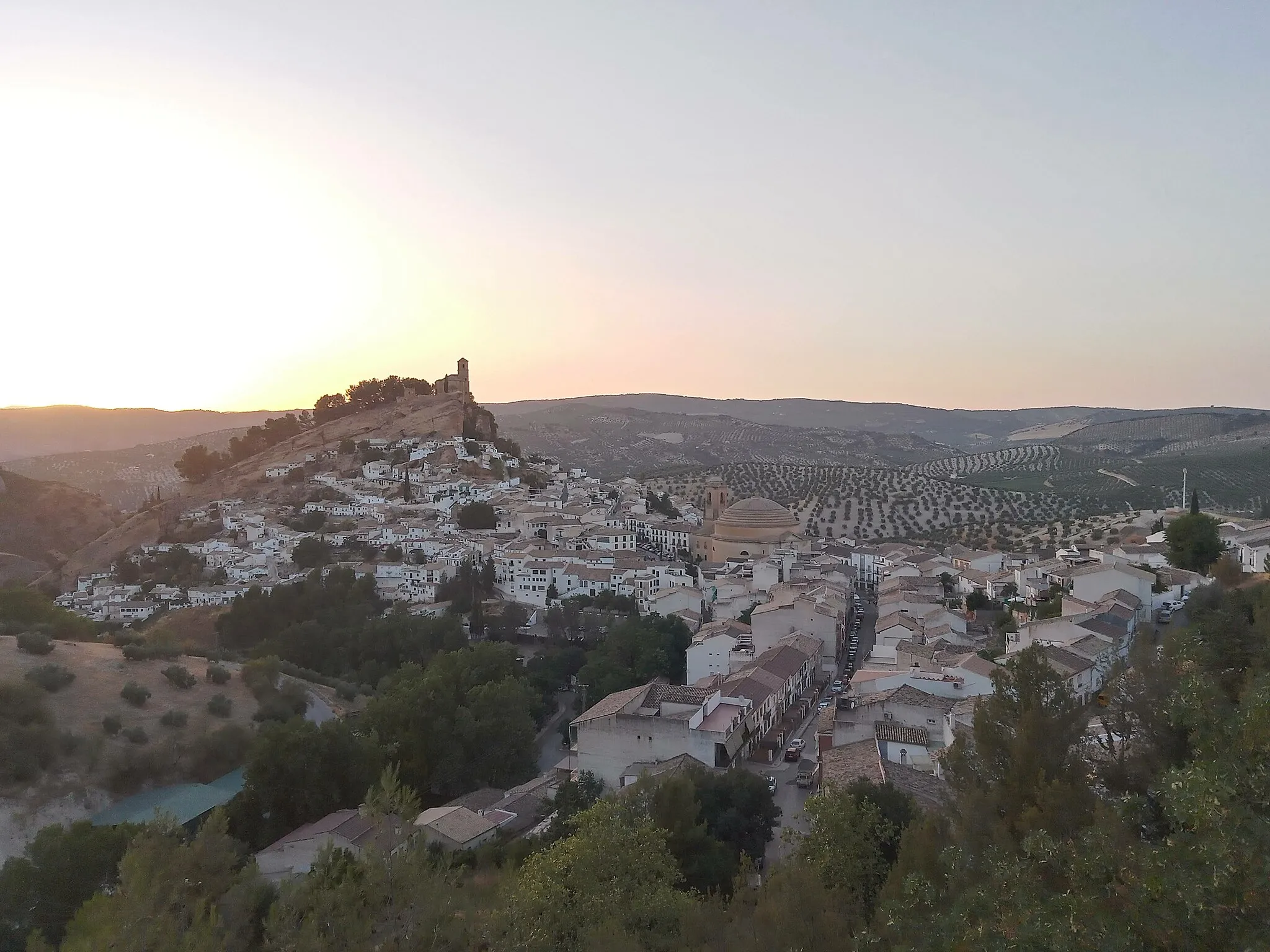
Start: Láchar Village centerLáchar: Embark on rewarding rides and take on the Sierra de Cogollos climb in Láchar.
Láchar in Andalucía, Spain, offers a satisfying cycling experience. The roads are generally well-maintained, allowing for smooth rides. The terrain is mostly flat to rolling, catering to both leisurely and moderately challenging rides. One popular spot for cyclists in the area is the Sierra de Cogollos climb, which provides a rewarding challenge with stunning views. Láchar may not be as renowned as other Spanish cycling destinations, but it offers a decent cycling locality with diverse terrain and access to notable climbs.3 km
3 km
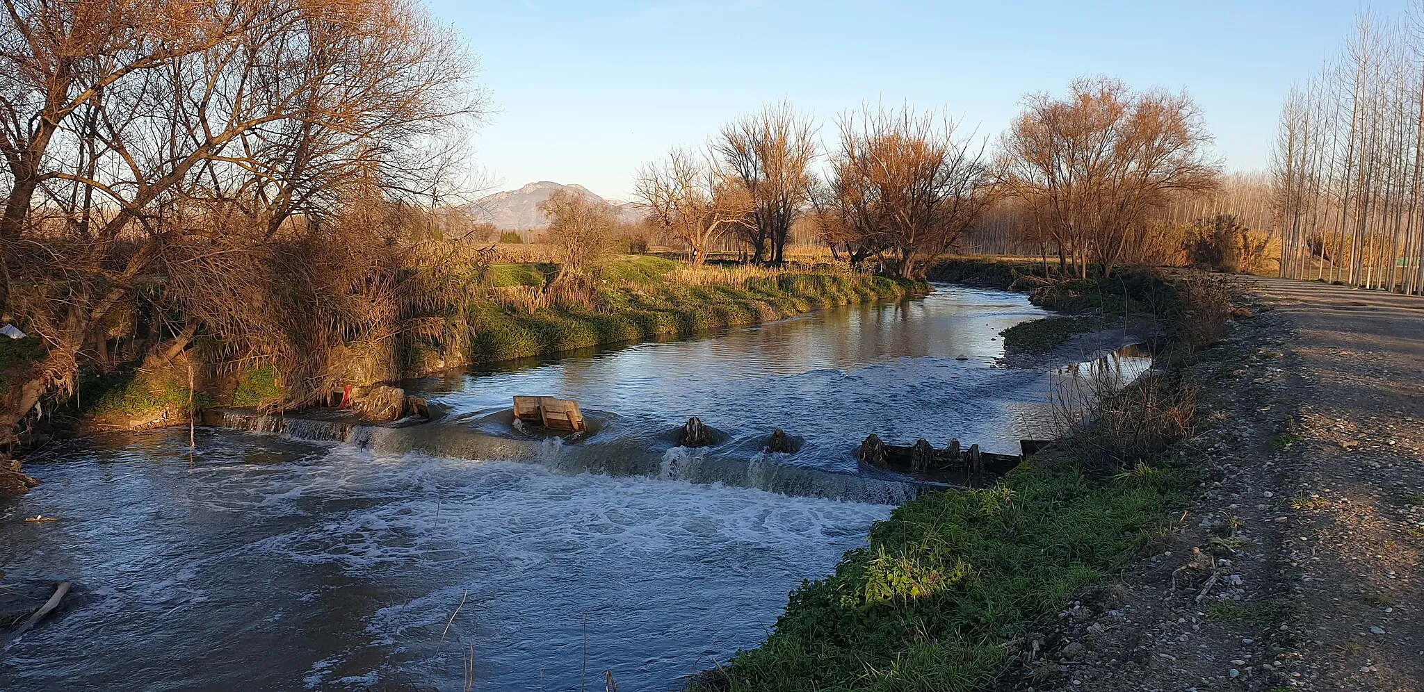
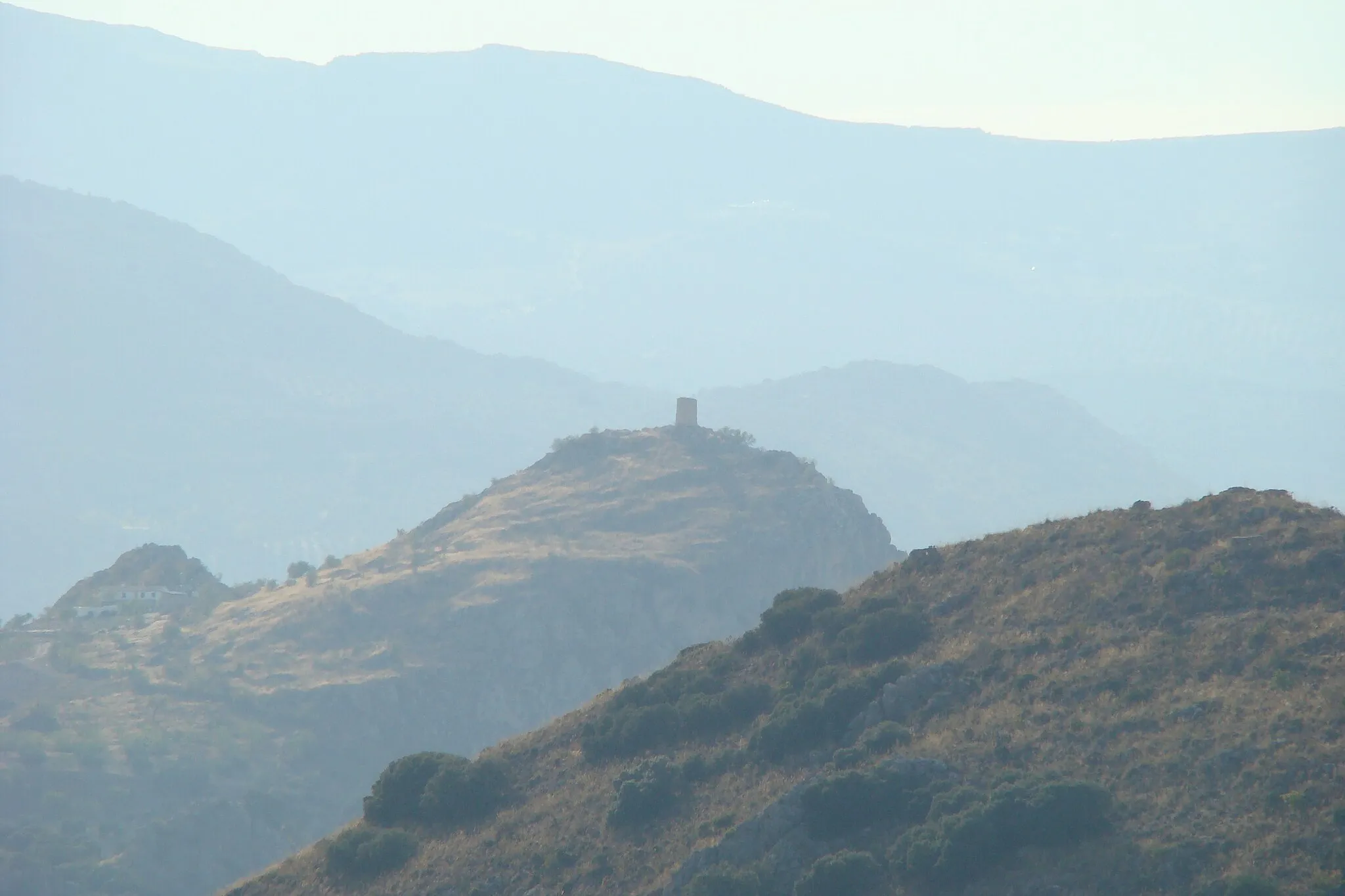
PeñuelasVillagePeñuelas offers panoramic views of the surrounding mountains and valleys.
22 km
22 km
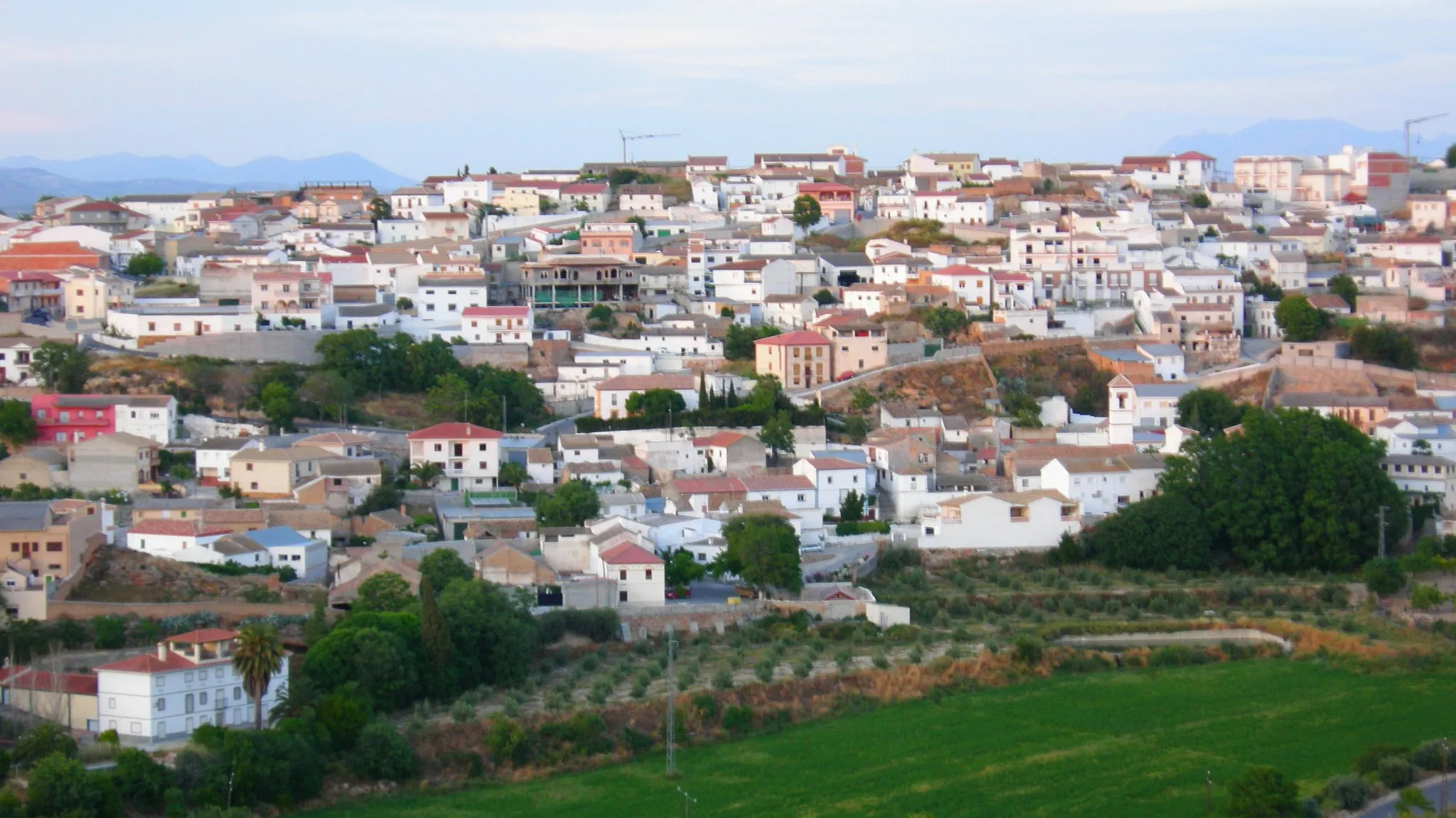
Moraleda de ZafayonaVillageMoraleda de Zafayona is a charming village known for its authentic Andalusian atmosphere.
28 km
28 km
Ramírez542 mPeakRamírez is a small town along the route with historical landmarks and traditional architecture.
52 km
52 km
Loma de las Granjas806 mPeakLoma de las Granjas provides a scenic backdrop of rolling hills and olive groves.
64 km
64 km
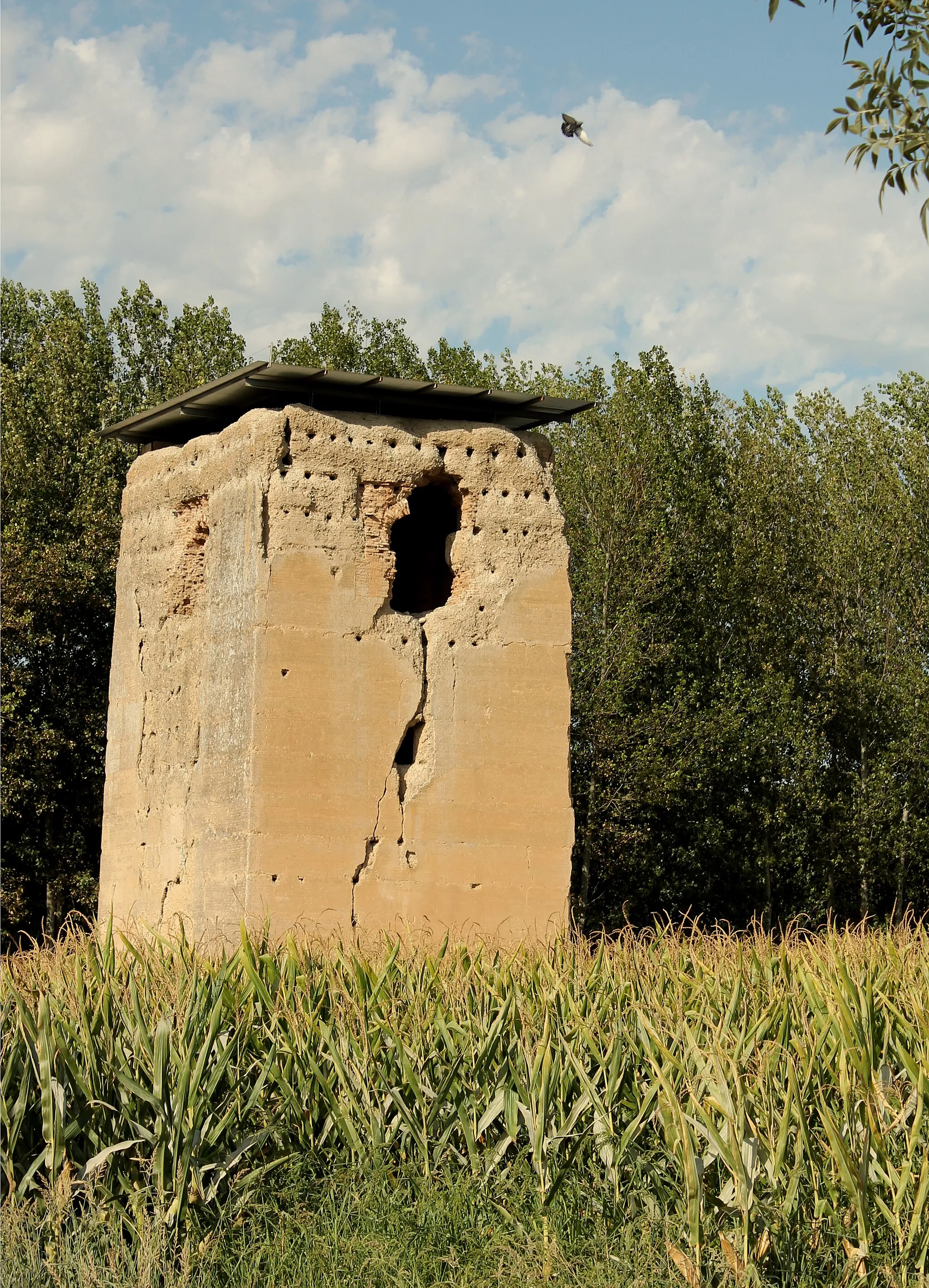
Casa de los OficiosAttractionCasa de los Oficios is an ancient building that once served as a meeting place for local craftsmen.
65 km
65 km
National Geographic ViewpointViewpointThe National Geographic Viewpoint offers a panoramic view of the entire region, including the Sierra Nevada mountains.
89 km
89 km
Obéilar845 mVillageObéilar is a historic village known for its preserved Moorish architecture and winding narrow streets.
98 km
98 km
LácharVillageLáchar is the starting point of the route and is a quaint Andalusian town worth exploring after your ride.
98 km
98 km
Finish: Láchar Village centerLáchar: Embark on rewarding rides and take on the Sierra de Cogollos climb in Láchar.
Cycling routes nearby: