The Montouto Gravel Adventure
A gravel cycling route starting from Ponteareas
A thrilling gravel route with stunning natural surroundings
Map
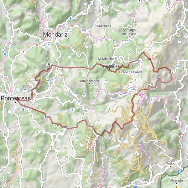
The Montouto Gravel Adventure is a thrilling cycling route starting near Ponteareas, Galicia. Designed for adventurous cyclists, this 54-kilometer gravel route features an ascent of 1466 meters and provides riders with an opportunity to experience the region's stunning natural surroundings. Highlights along the way include Alto de Montouto, a challenging climb offering breathtaking views, and Chan do Rei, a remote area renowned for its untouched beauty. With a difficulty level of 3 and an epicness rating of 3, this route is suitable for cyclists looking for a shorter but exhilarating adventure.
gravel
54 km
1466 m
Tough
Route profile
Highlights on the route
0 km
0 km
Start: Ponteareas City centerPonteareas: Picturesque cycling routes through vineyards and countryside
Ponteareas is a locality located in Galicia, Spain. From a cyclist's perspective, Ponteareas offers a mix of flat terrain and rolling hills, providing enjoyable routes for both road and gravel cycling. The locality is surrounded by beautiful countryside and vineyards, creating a picturesque backdrop for bike rides. While there are no famous cycling-related spots or well-known climbs in Ponteareas itself, nearby attractions such as the thermal village of Mondariz and the natural park of Monte Aloia offer additional activities and points of interest for cyclists. Ponteareas is a cycling-friendly destination for exploring the Galician region and its unique landscapes.0 km
0 km
PonteareasTown4 km
4 km
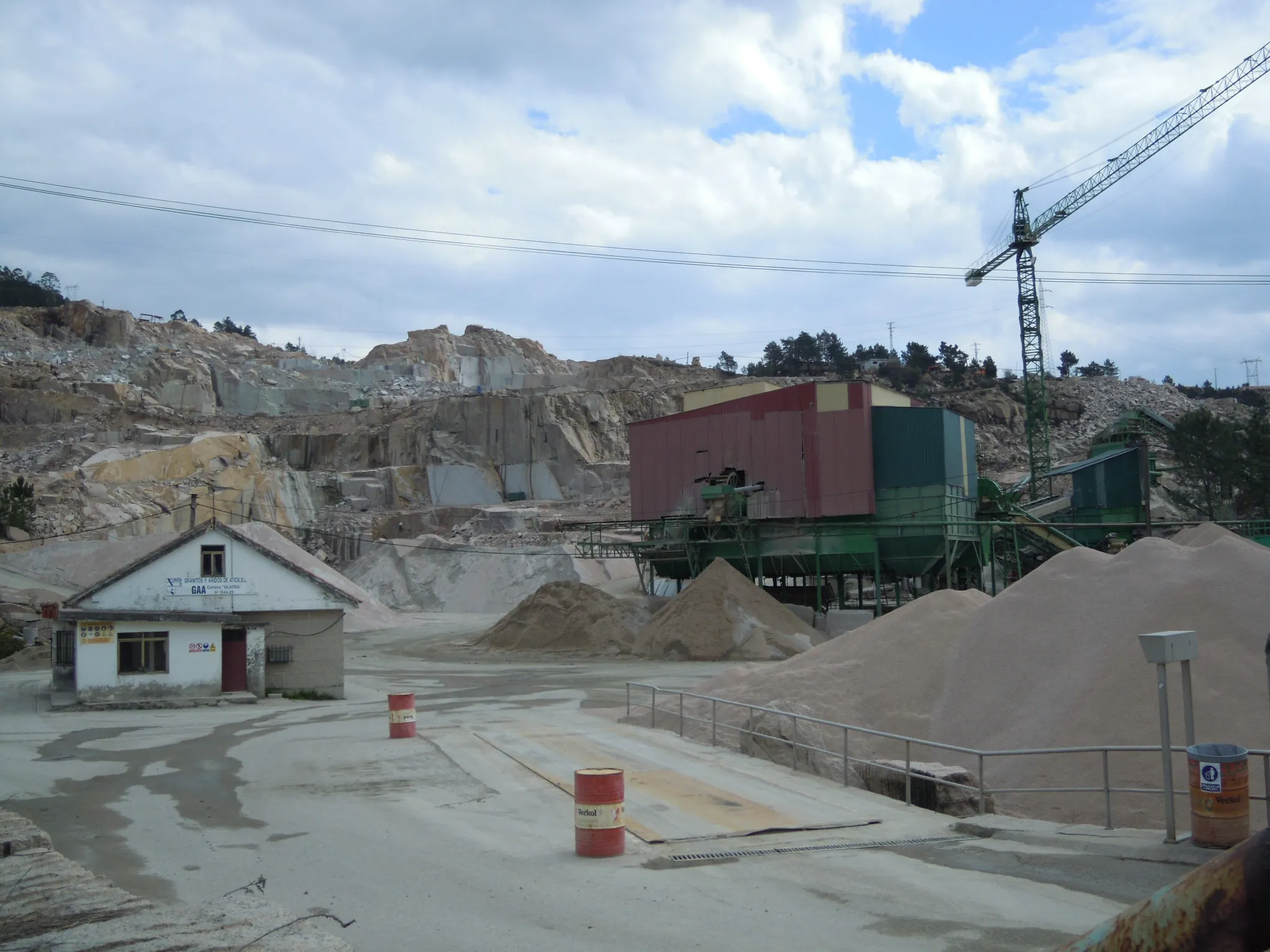
Picaraña386 mPeak ViewpointPicaraña is a picturesque starting point for the gravel adventure, surrounded by serene landscapes and nature.
21 km
21 km
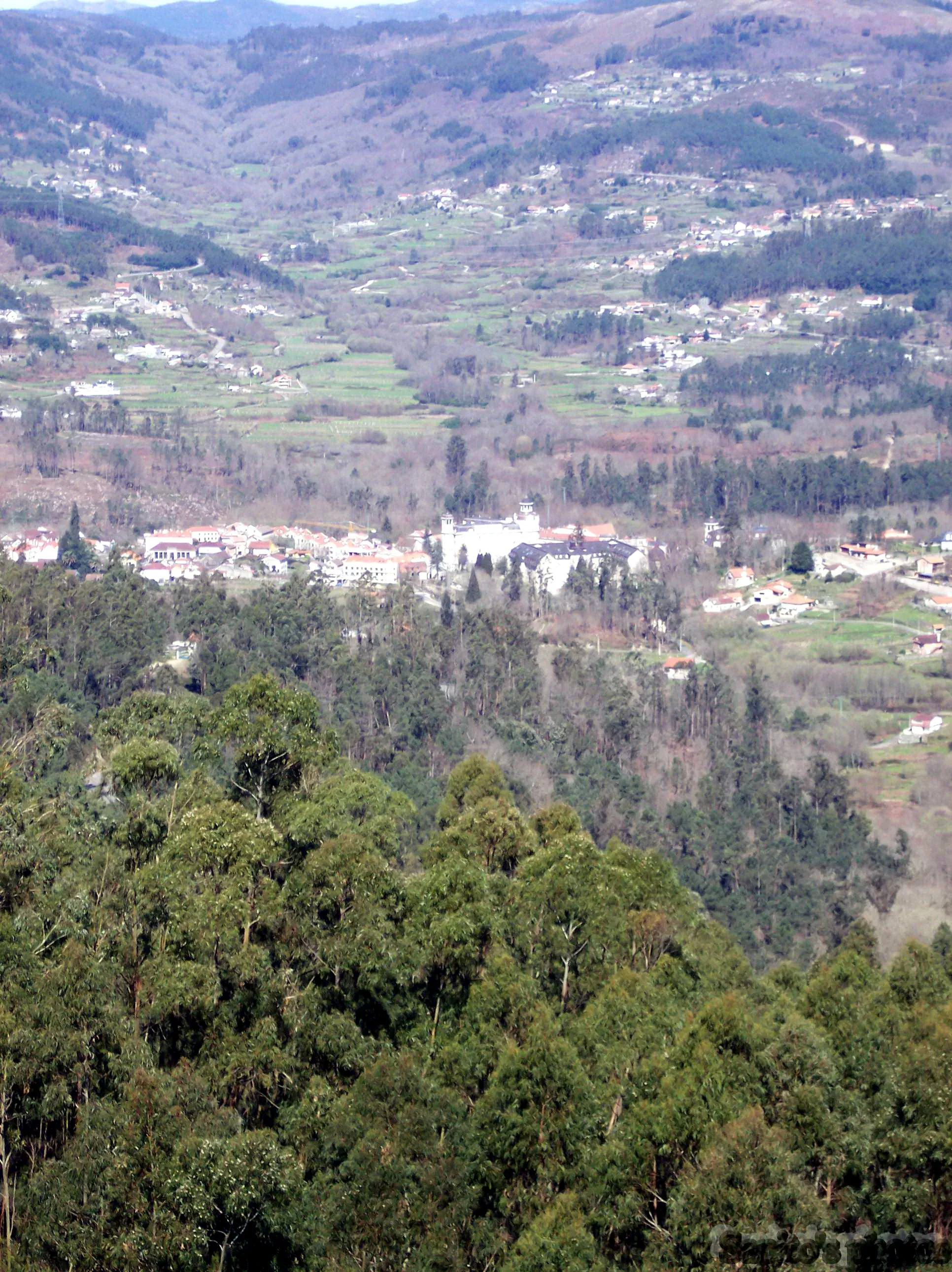
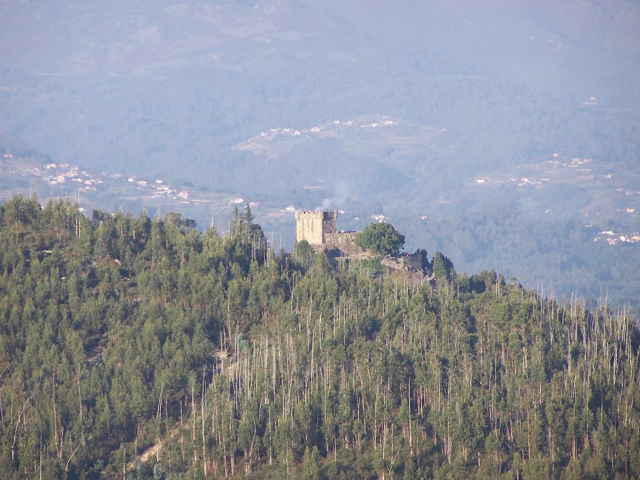
Alto de Montouto945 mPeakAlto de Montouto offers gravel cyclists a challenging climb with rewarding views of the countryside and surrounding mountains.
35 km
35 km
Chan do Rei954 mPeakChan do Rei is a remote gravel pathway surrounded by lush forests and untouched natural beauty, providing an extraordinary off-road experience.
51 km
51 km
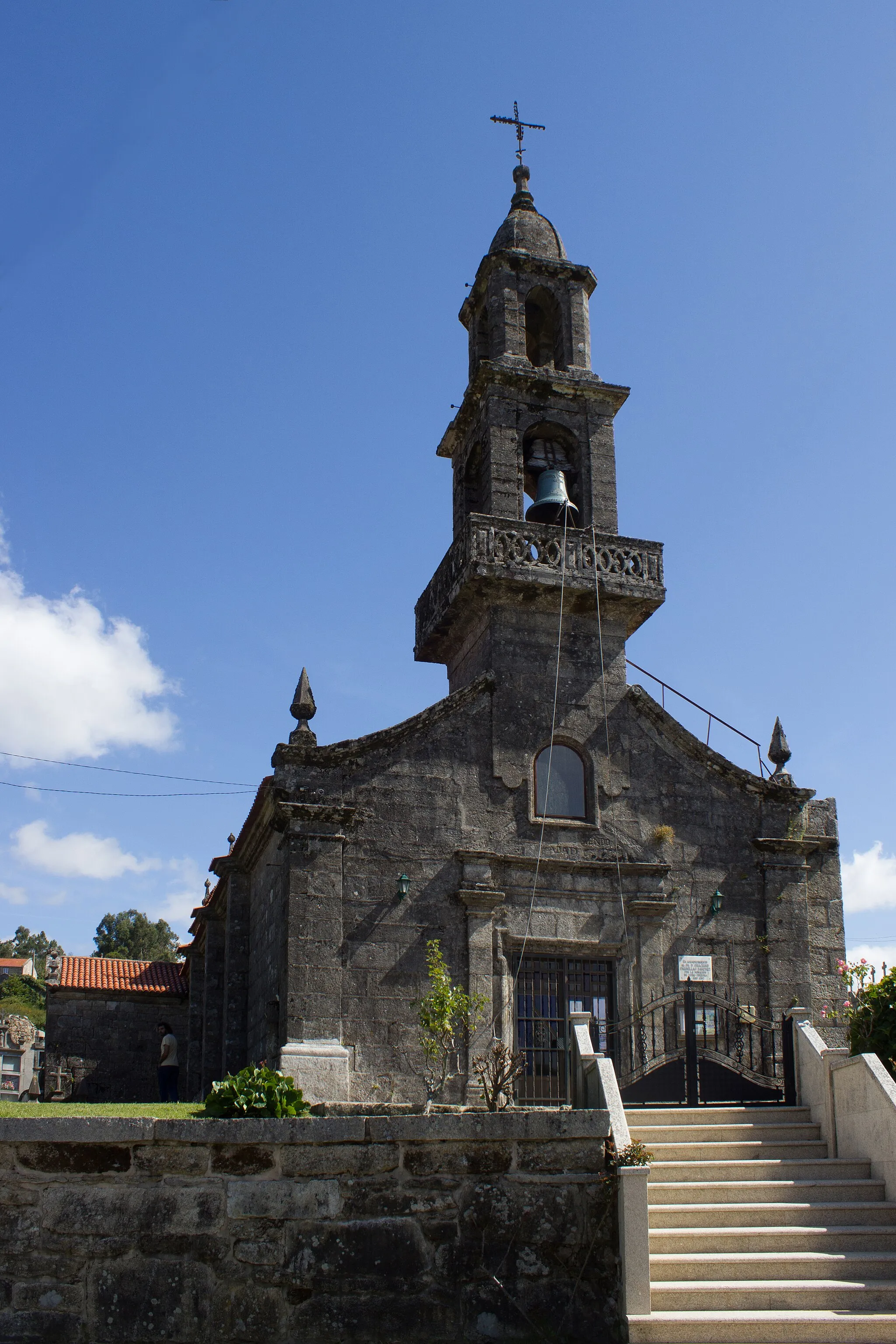
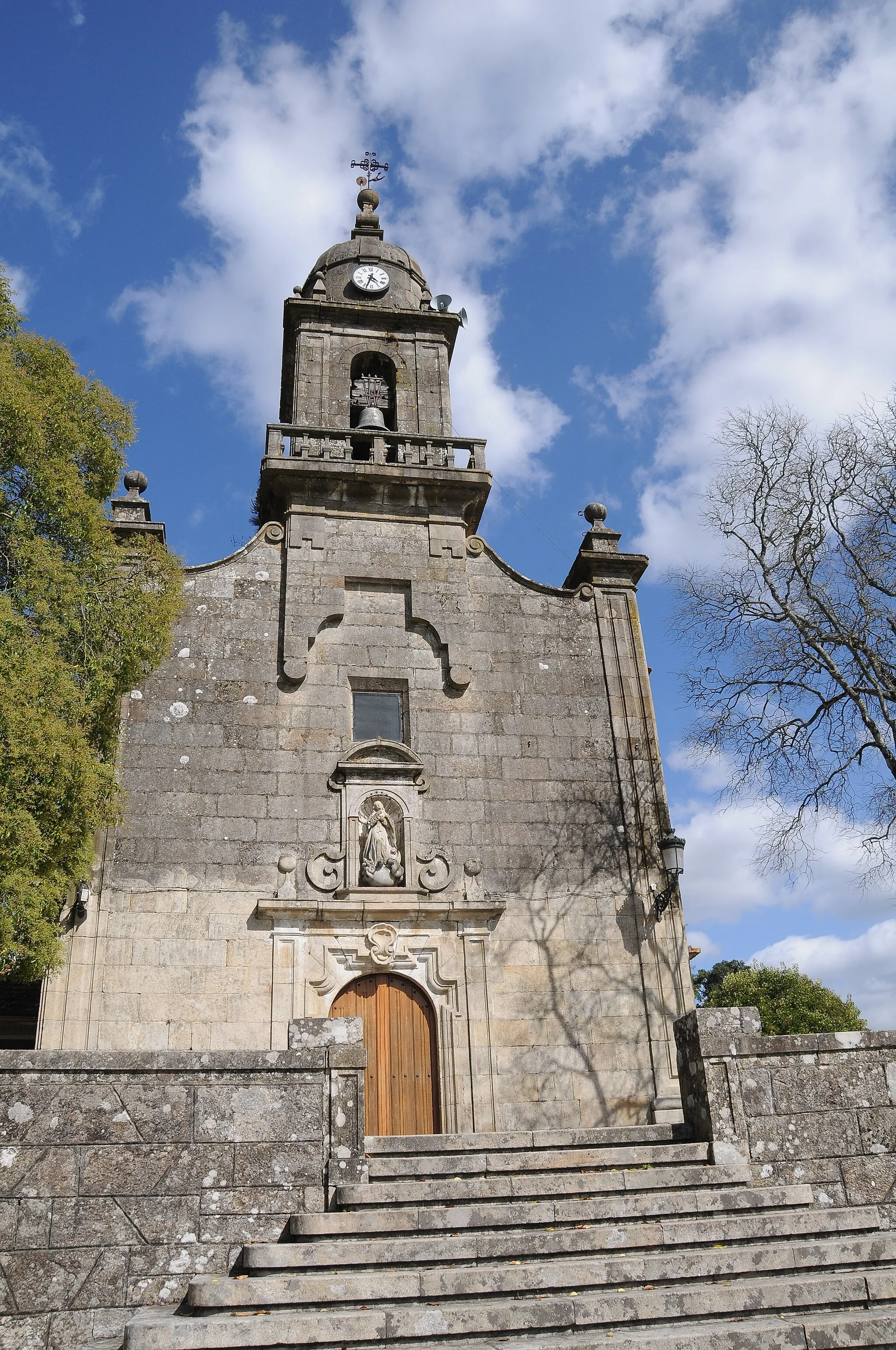
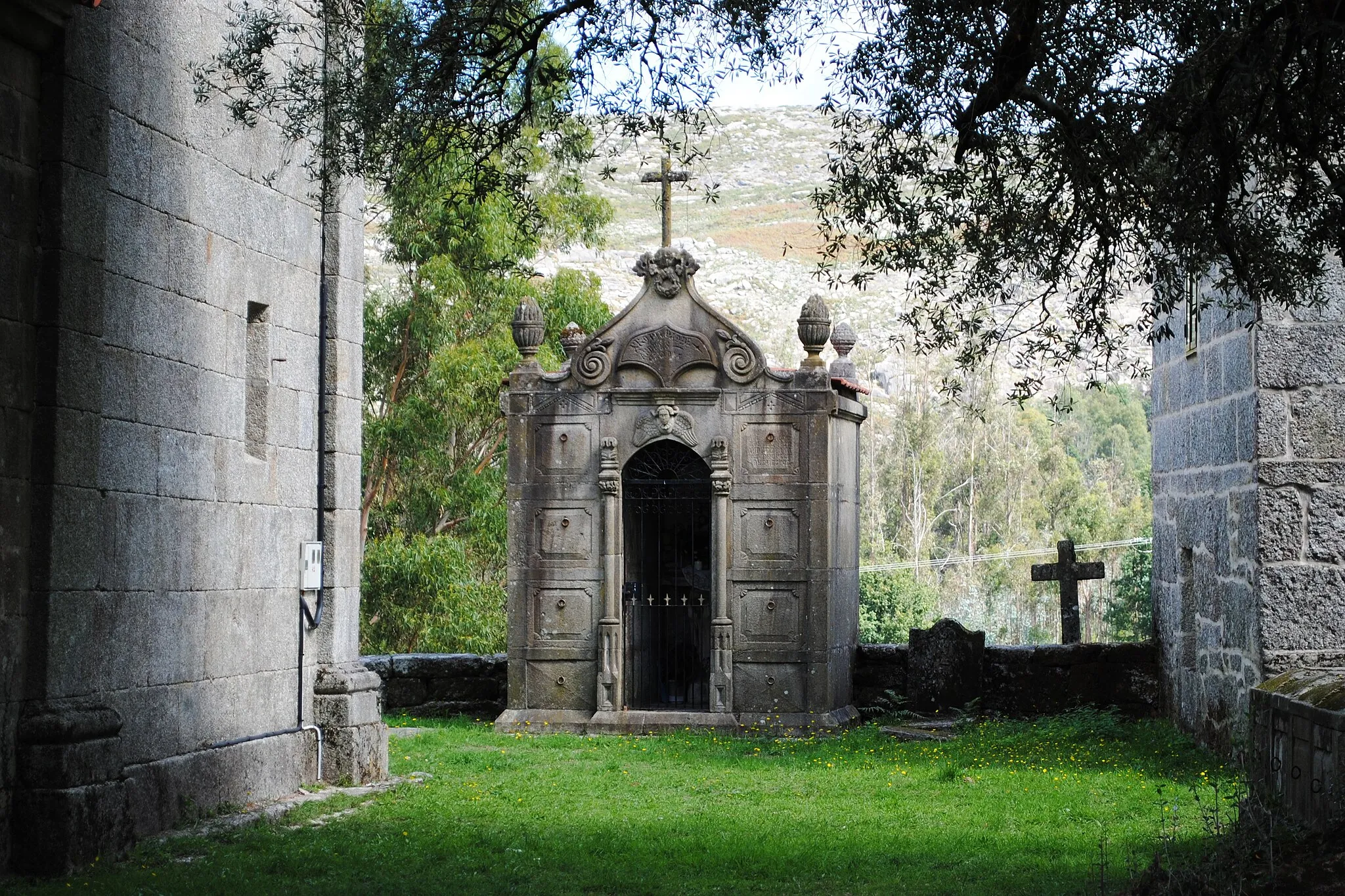
San Mateo de OliveiraSub-urbSan Mateo de Oliveira is a tranquil village that serves as a convenient stop along the route, offering cyclists a peaceful setting to relax and refuel.
54 km
54 km
Finish: Ponteareas City centerPonteareas: Picturesque cycling routes through vineyards and countryside
Cycling routes nearby: