Picaraña Adventure
A gravel cycling route starting from Ponteareas
Embark on an adventurous gravel ride through Picaraña
Map
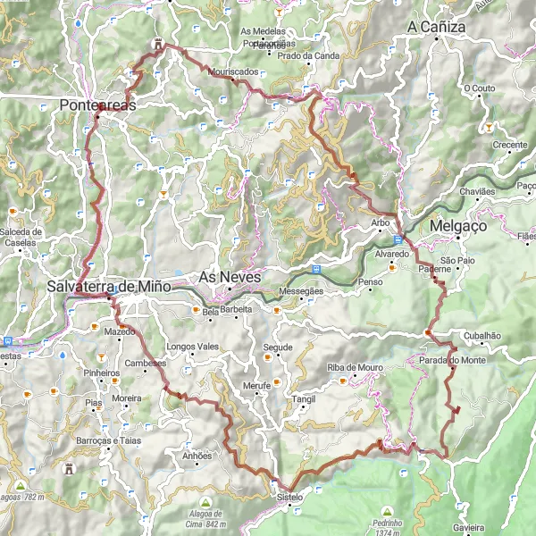
Picaraña Adventure is a 103 km gravel cycling route that takes you through rugged terrain and picturesque landscapes. With a challenging ascent of 2747 m, this route is suited for experienced riders. The difficulty level of this route is rated as 5. The epicness rating is 4, as it offers an epic adventure with several scenic highlights along the way. Overall, the Picaraña Adventure provides a thrilling outdoor experience in the Galician countryside.
gravel
103 km
2747 m
Savage
Route profile
Highlights on the route
0 km
0 km
Start: Ponteareas City centerPonteareas: Picturesque cycling routes through vineyards and countryside
Ponteareas is a locality located in Galicia, Spain. From a cyclist's perspective, Ponteareas offers a mix of flat terrain and rolling hills, providing enjoyable routes for both road and gravel cycling. The locality is surrounded by beautiful countryside and vineyards, creating a picturesque backdrop for bike rides. While there are no famous cycling-related spots or well-known climbs in Ponteareas itself, nearby attractions such as the thermal village of Mondariz and the natural park of Monte Aloia offer additional activities and points of interest for cyclists. Ponteareas is a cycling-friendly destination for exploring the Galician region and its unique landscapes.0 km
0 km
PonteareasTownStarting in Ponteareas, the birthplace of famous Spanish cyclist Abraham Olano.
4 km
4 km
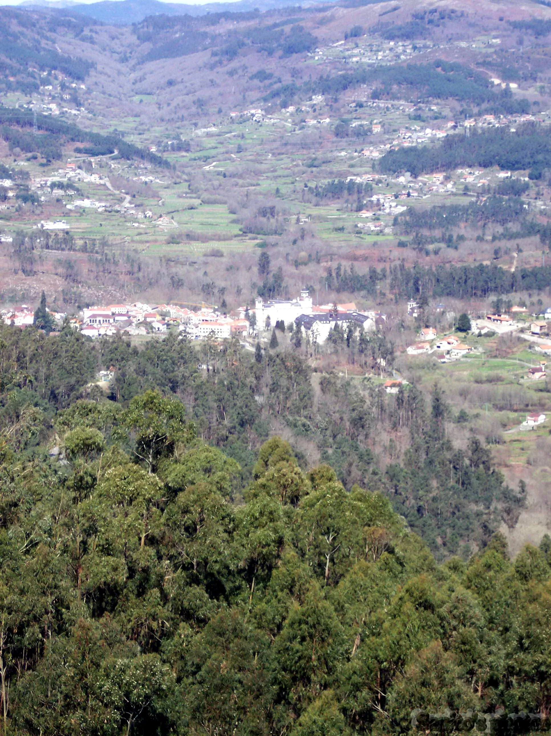
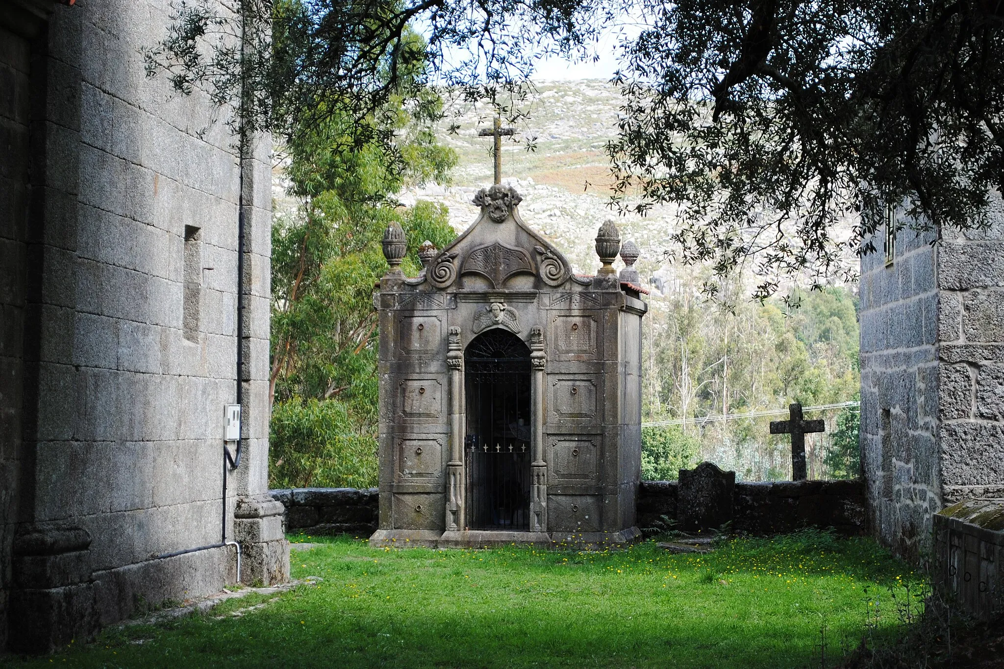
Picaraña386 mPeak ViewpointDiscover Picaraña, a small village known for its traditional stone houses and impressive valley views.
13 km
13 km
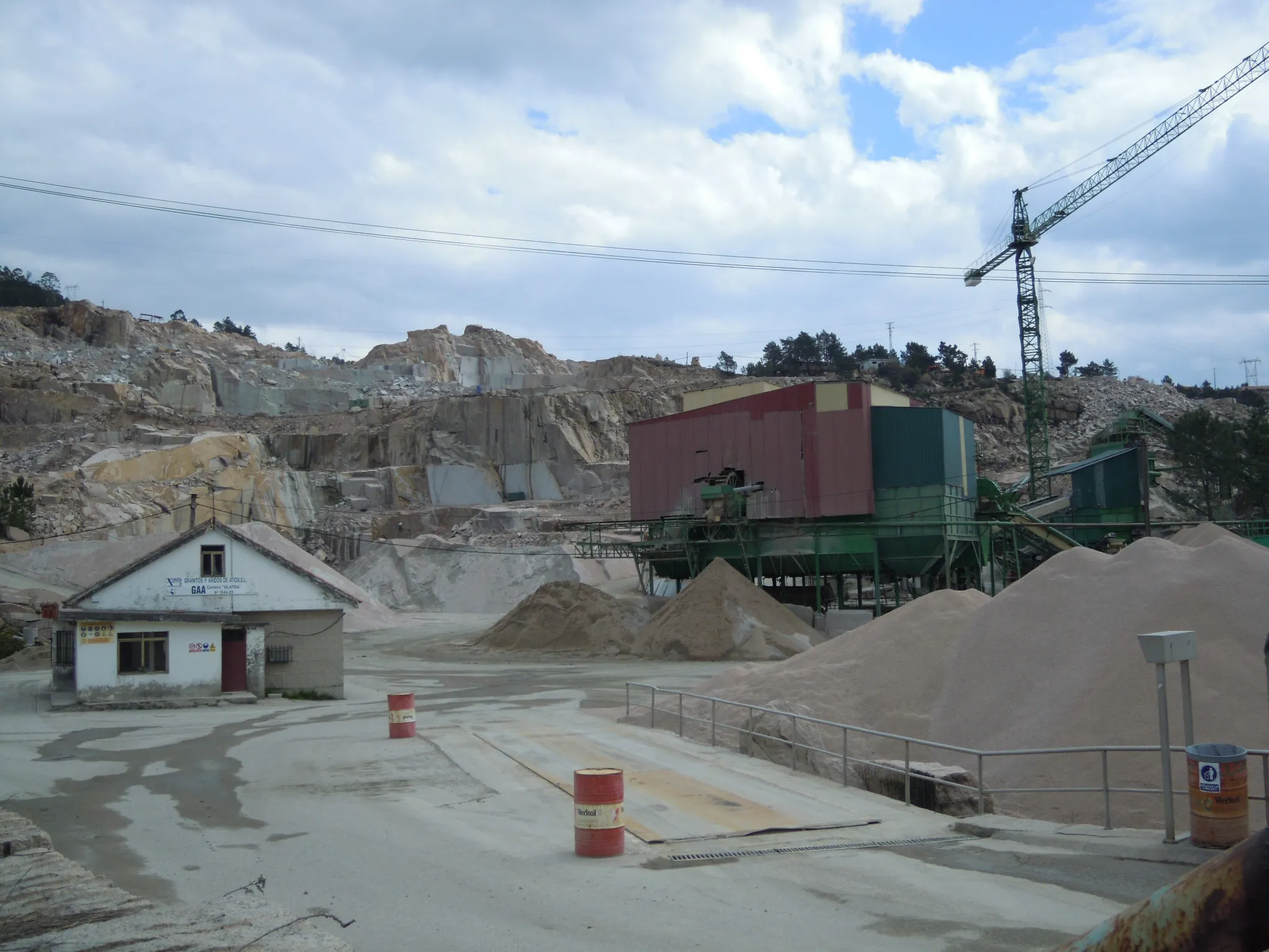
O Campo do MouroHamletO Campo do Mouro is an archaeological site with ancient remains of a prehistoric settlement.
23 km
23 km
Chan do Rei954 mPeakChan do Rei is a beautiful valley with meandering streams and lush vegetation.
46 km
46 km
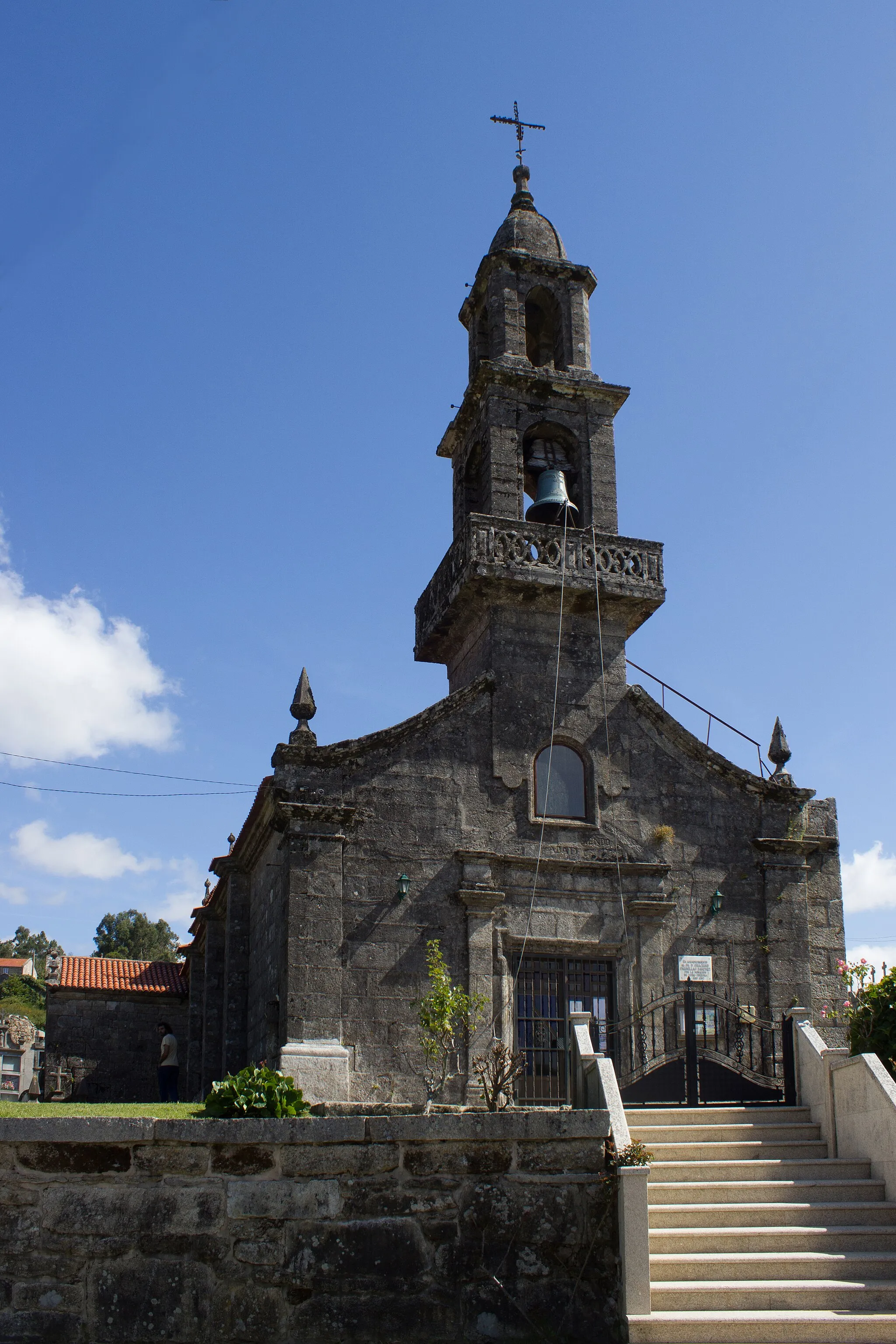
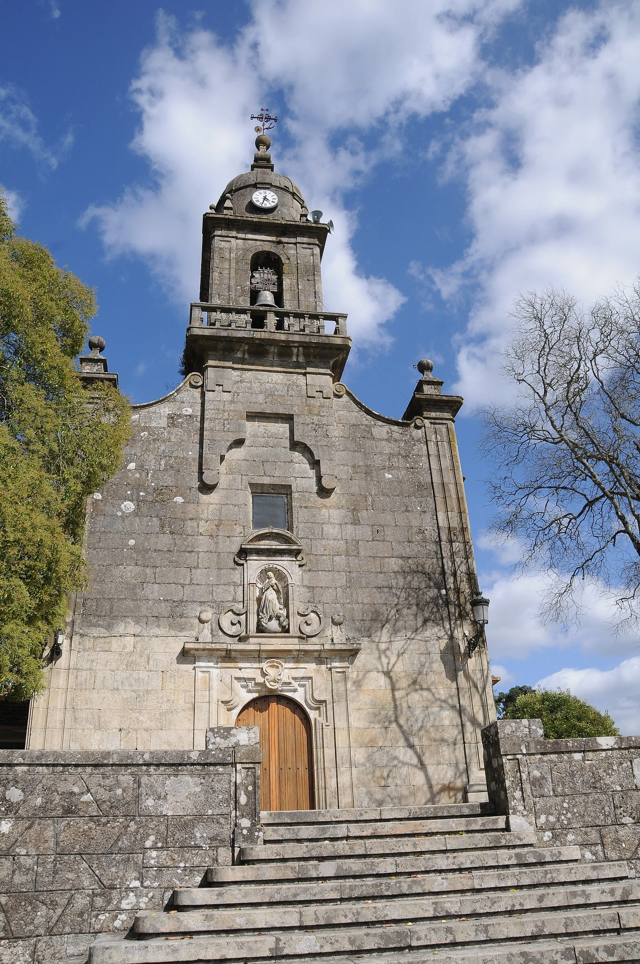
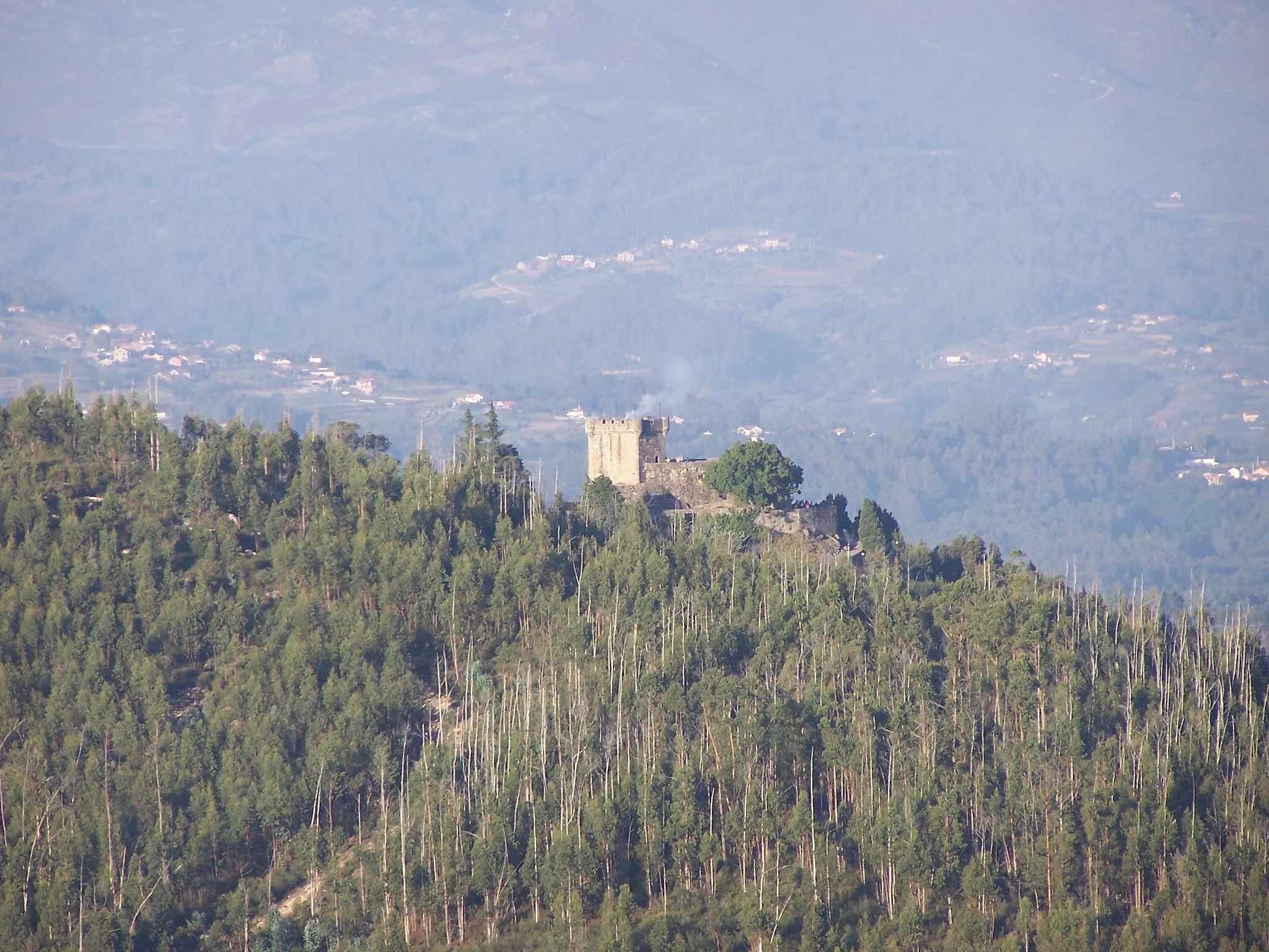
Parada do MonteVillageParada do Monte is a small village that offers panoramic views of the surrounding mountains.
66 km
66 km
SisteloVillageSistelo, also known as the 'Tibet of Portugal', is a picturesque village famous for its terraced fields.
70 km
70 km
Monte Redondo793 mPeakMonte Redondo is a scenic mountain that provides breathtaking views of the Galician landscape.
80 km
80 km
SagoVillageSago is a small hamlet with traditional stone houses and a tranquil atmosphere.
82 km
82 km
Monte179 mPeakMonte is a rural area surrounded by forests, offering quiet roads and a peaceful cycling experience.
101 km
101 km
AngoaresSub-urbAngoares, a charming village with traditional Galician architecture and a warm local community.
103 km
103 km
Finish: Ponteareas City centerPonteareas: Picturesque cycling routes through vineyards and countryside
Cycling routes nearby: