Cans Loop
A gravel cycling route starting from Ponteareas
Explore the countryside on the scenic Cans Loop
Map
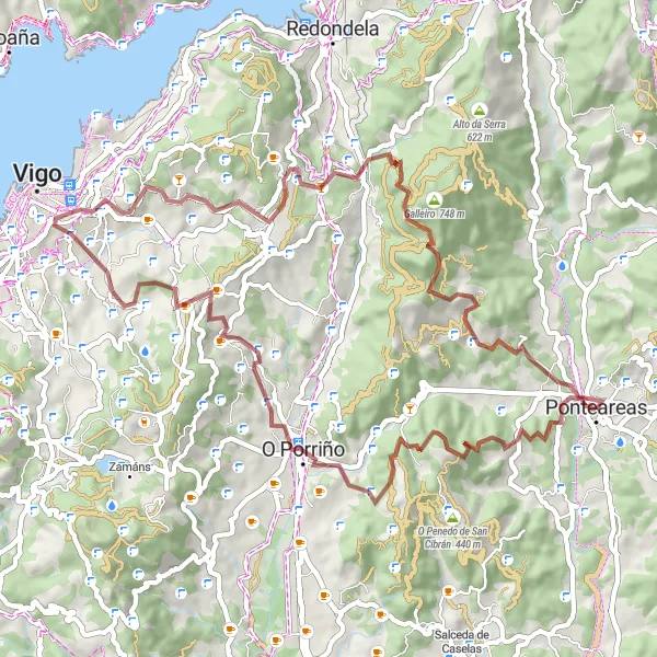
The Cans Loop is a 66 km gravel cycling route that takes you through charming villages and beautiful rural landscapes. With a total ascent of 1742 m, this route provides a moderate challenge for experienced riders. The difficulty level of this route is rated as 4. The epicness rating is 2, as it offers scenic highlights but does not have any legendary climbs or famous cycling spots. Overall, the Cans Loop is a captivating cycling route that offers a peaceful escape into the Galician countryside.
gravel
66 km
1742 m
Tough
Route profile
Highlights on the route
0 km
0 km
Start: Ponteareas City centerPonteareas: Picturesque cycling routes through vineyards and countryside
Ponteareas is a locality located in Galicia, Spain. From a cyclist's perspective, Ponteareas offers a mix of flat terrain and rolling hills, providing enjoyable routes for both road and gravel cycling. The locality is surrounded by beautiful countryside and vineyards, creating a picturesque backdrop for bike rides. While there are no famous cycling-related spots or well-known climbs in Ponteareas itself, nearby attractions such as the thermal village of Mondariz and the natural park of Monte Aloia offer additional activities and points of interest for cyclists. Ponteareas is a cycling-friendly destination for exploring the Galician region and its unique landscapes.10 km
10 km
Alto da Chan de Pereiro417 mPeakAlto da Chan de Pereiro is a challenging climb that rewards riders with stunning views of the surrounding valleys.
12 km
12 km
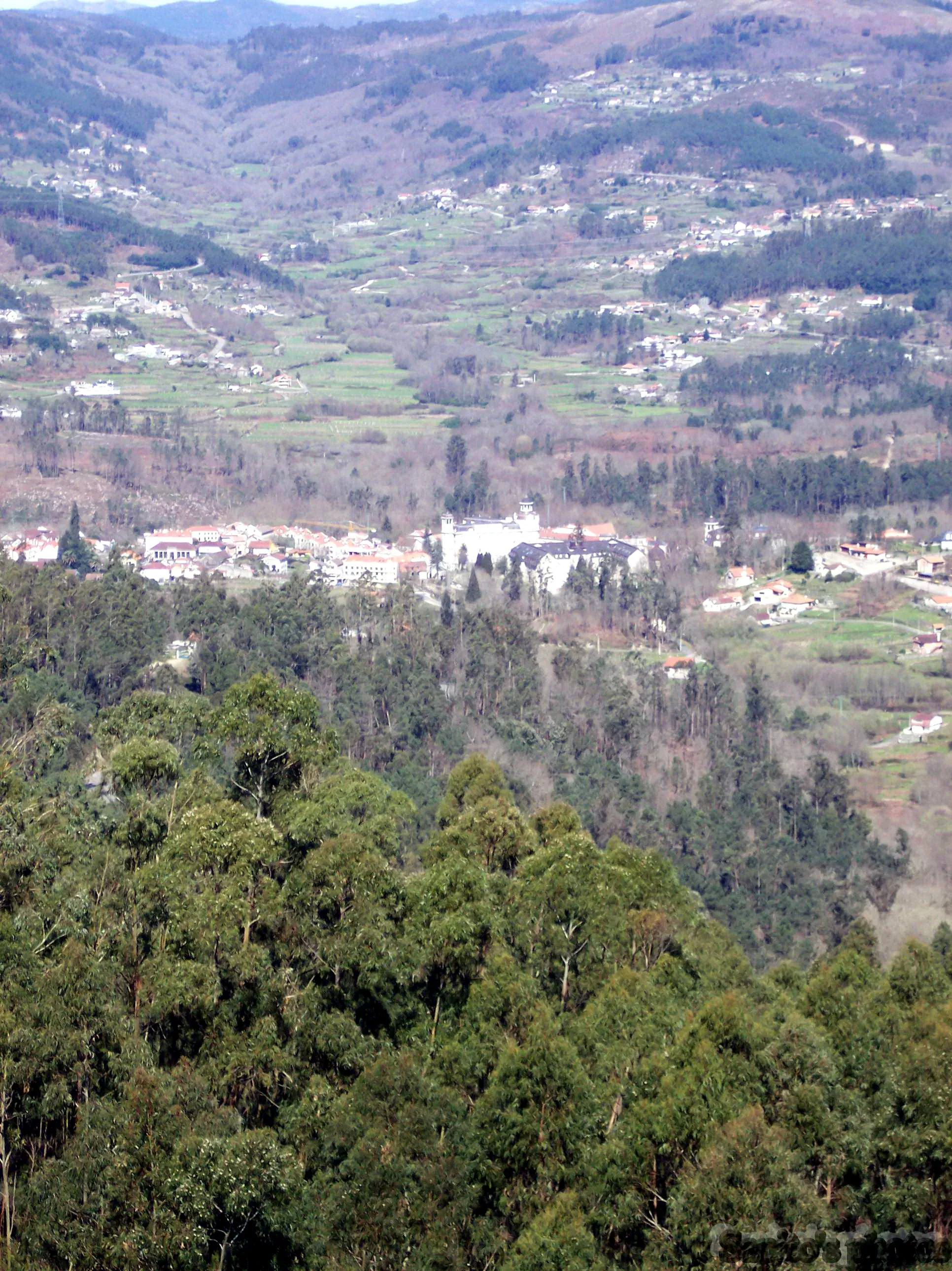
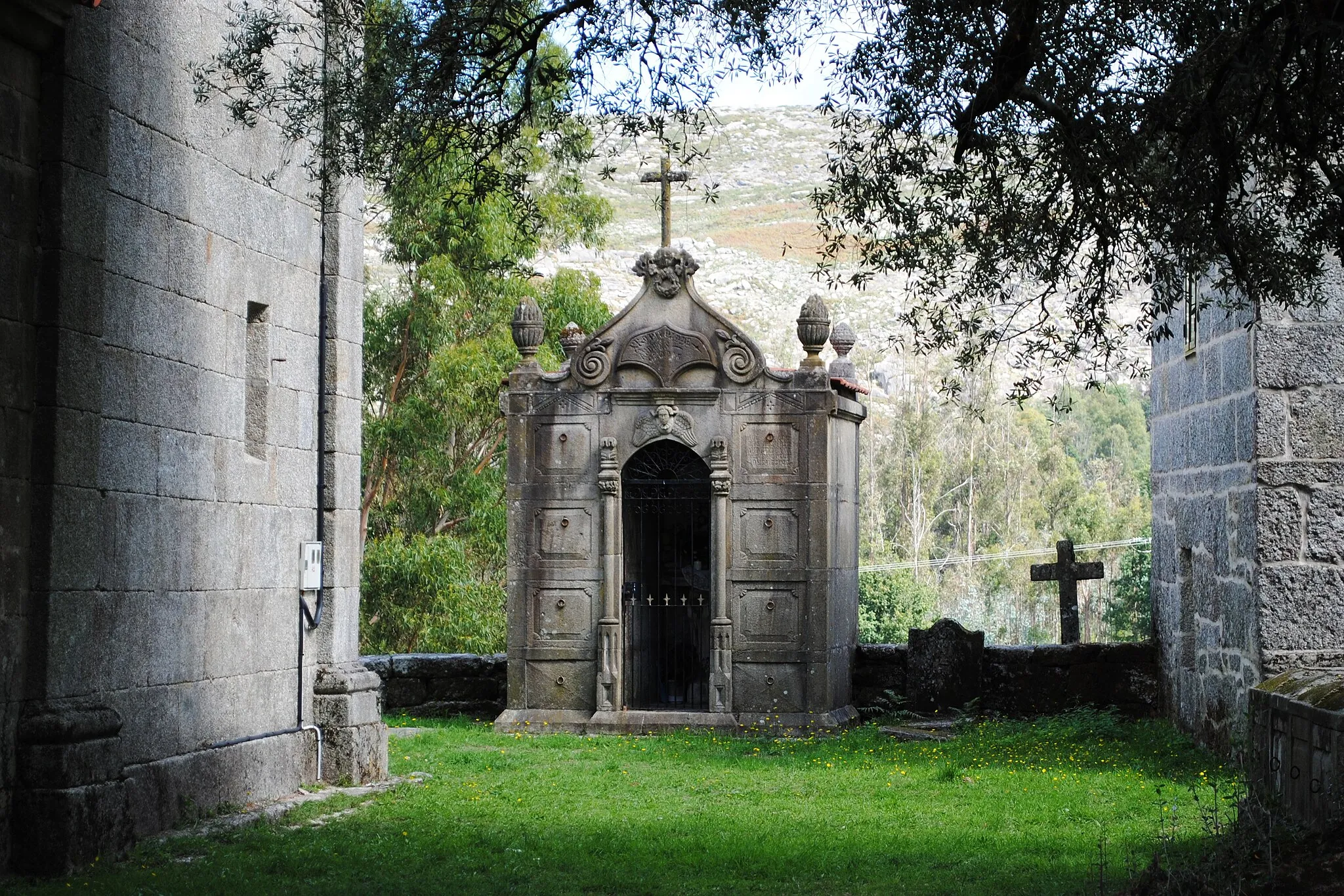
CansSub-urbCans is a charming village with traditional stone houses and a cozy atmosphere.
20 km
20 km
SanguiñedaSub-urbSanguiñeda is a small hamlet known for its peaceful surroundings and picturesque views.
34 km
34 km
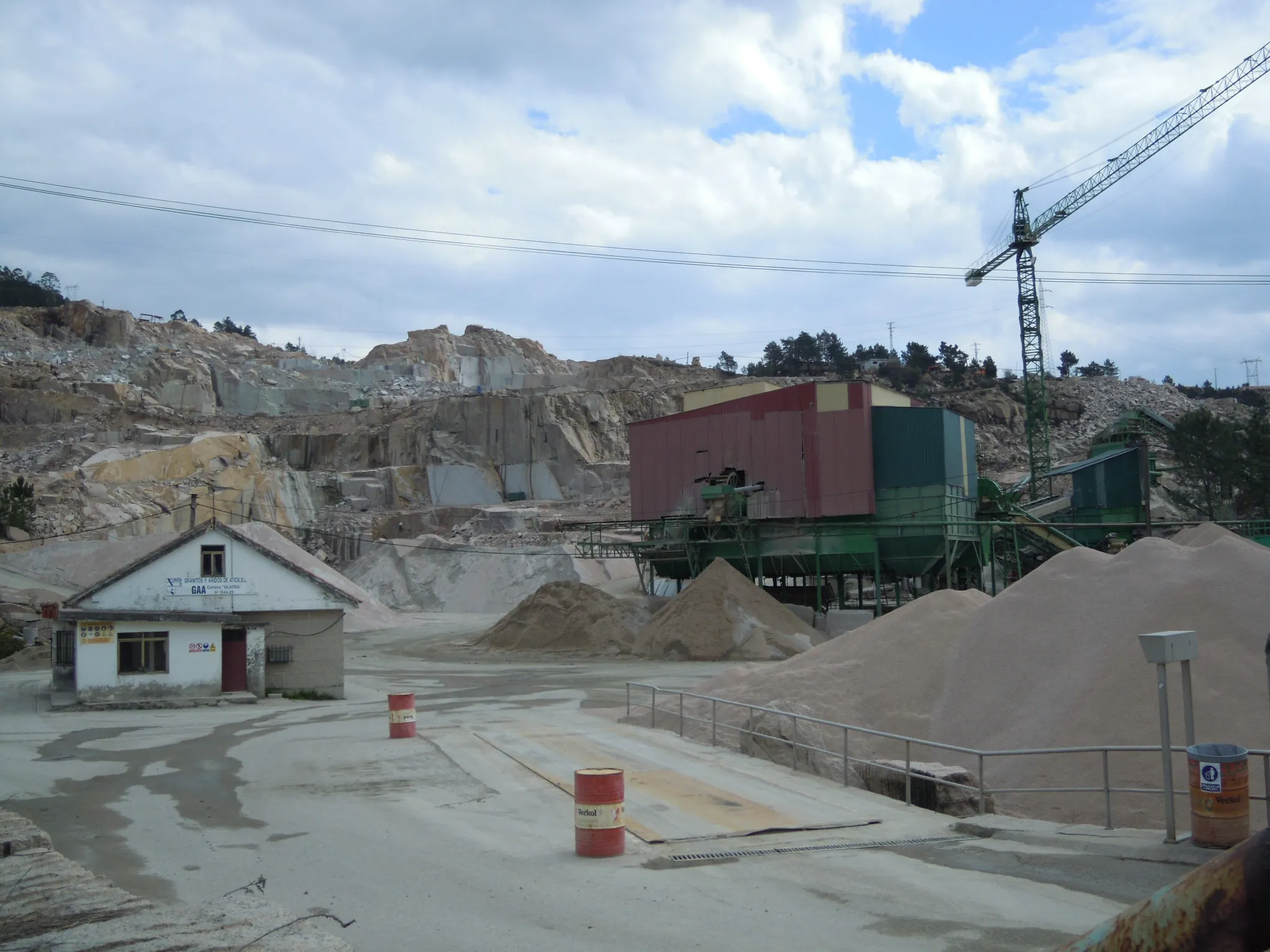
Monte do Castro149 mPeakMonte do Castro is a hilltop with ancient ruins, offering panoramic views of the Galician landscape.
36 km
36 km
San Xoán do MonteSub-urbSan Xoán do Monte is a small village that provides a quiet and serene atmosphere.
52 km
52 km
Galleiro748 mPeakGalleiro is a charming hamlet located in a wooded area, offering peace and tranquility.
57 km
57 km
CillargaHamletCillarga is a scenic village nestled in the mountains, known for its lush greenery and refreshing air.
63 km
63 km
AreasSub-urbAreas is a small village known for its maypole, where traditional celebrations take place.
66 km
66 km
Finish: Ponteareas City centerPonteareas: Picturesque cycling routes through vineyards and countryside
Cycling routes nearby: