The Prado Challenge
A road cycling route starting from Ponteareas
A thrilling road circuit with epic climbs and stunning landscapes
Map
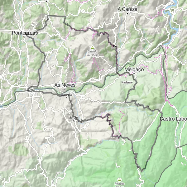
The Prado Challenge is a thrilling road cycling route starting near Ponteareas, Galicia. Stretching over 129 kilometers and featuring an ascent of 3034 meters, this route is perfect for experienced cyclists seeking a challenging ride. Highlights along the way include Coto Redondo, a natural gem with mesmerizing views, and Baluarte Nossa Senhora da Guia, a historic fortress offering panoramic vistas. With a difficulty level of 5, this route is reserved for extremely well-trained amateur cyclists. With an epicness rating of 4, riders can expect awe-inspiring landscapes and epic climbs throughout the journey.
road
129 km
3034 m
Savage
Route profile
Highlights on the route
0 km
0 km
Start: Ponteareas City centerPonteareas: Picturesque cycling routes through vineyards and countryside
Ponteareas is a locality located in Galicia, Spain. From a cyclist's perspective, Ponteareas offers a mix of flat terrain and rolling hills, providing enjoyable routes for both road and gravel cycling. The locality is surrounded by beautiful countryside and vineyards, creating a picturesque backdrop for bike rides. While there are no famous cycling-related spots or well-known climbs in Ponteareas itself, nearby attractions such as the thermal village of Mondariz and the natural park of Monte Aloia offer additional activities and points of interest for cyclists. Ponteareas is a cycling-friendly destination for exploring the Galician region and its unique landscapes.0 km
0 km
PonteareasTown19 km
19 km
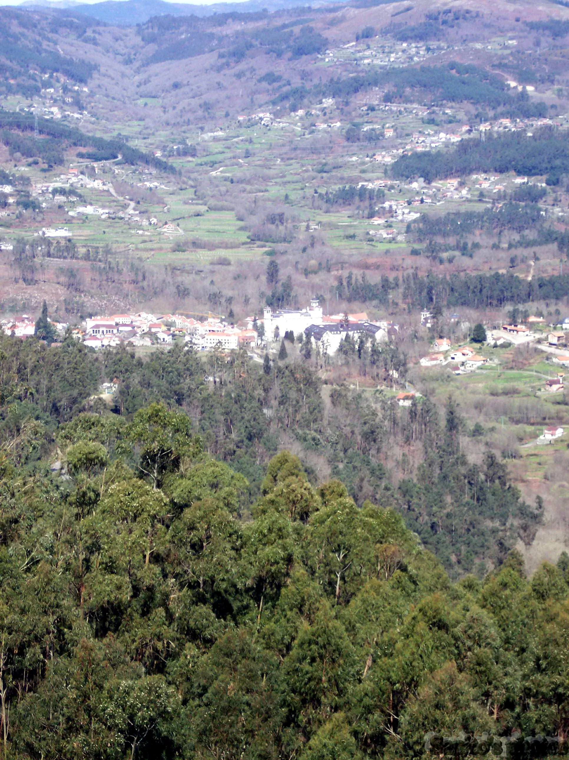
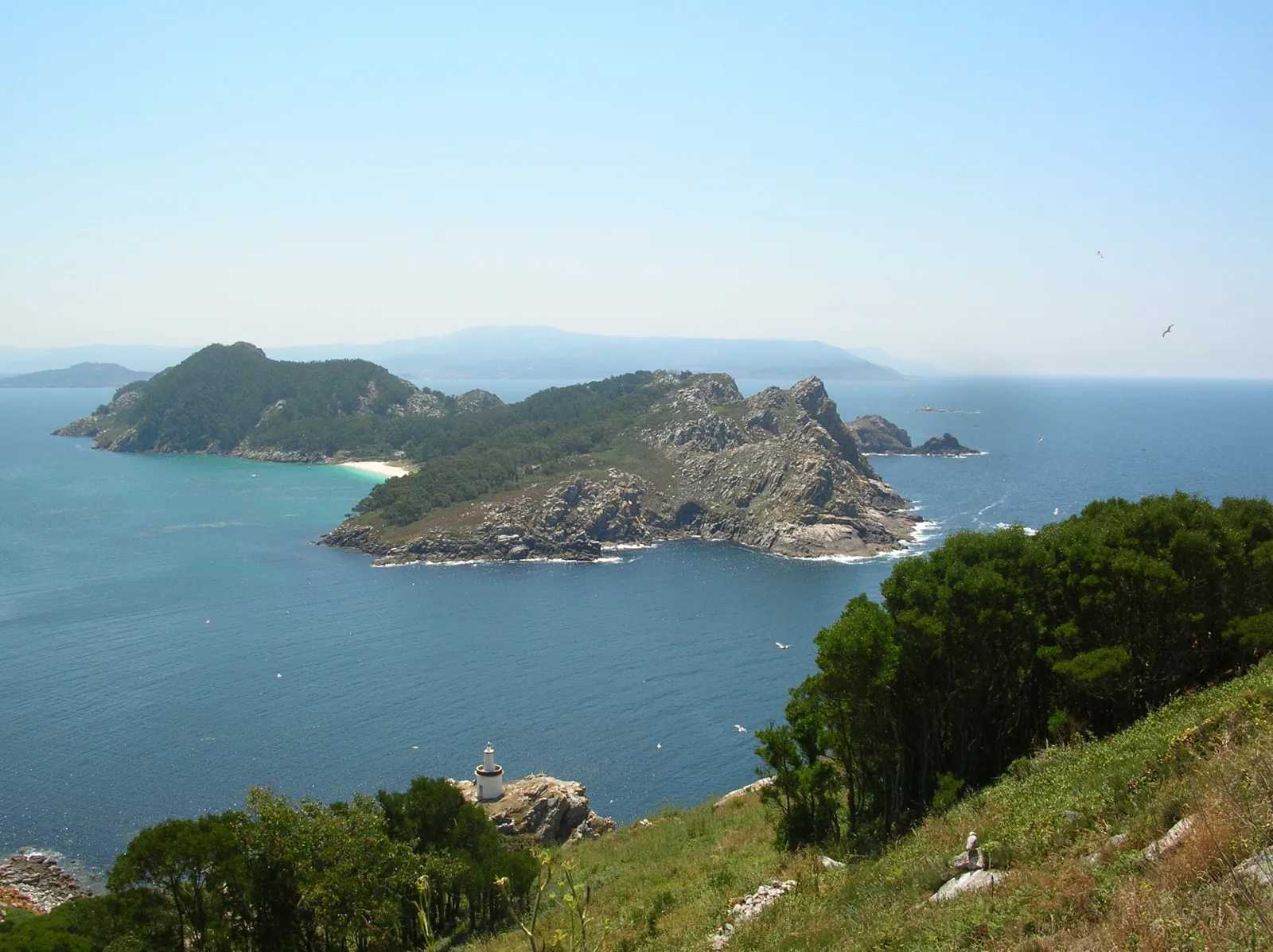
Coto Redondo931 mPeakCyclists will be amazed by the natural beauty of Coto Redondo, a picturesque spot with dense forests and dazzling vistas.
38 km
38 km
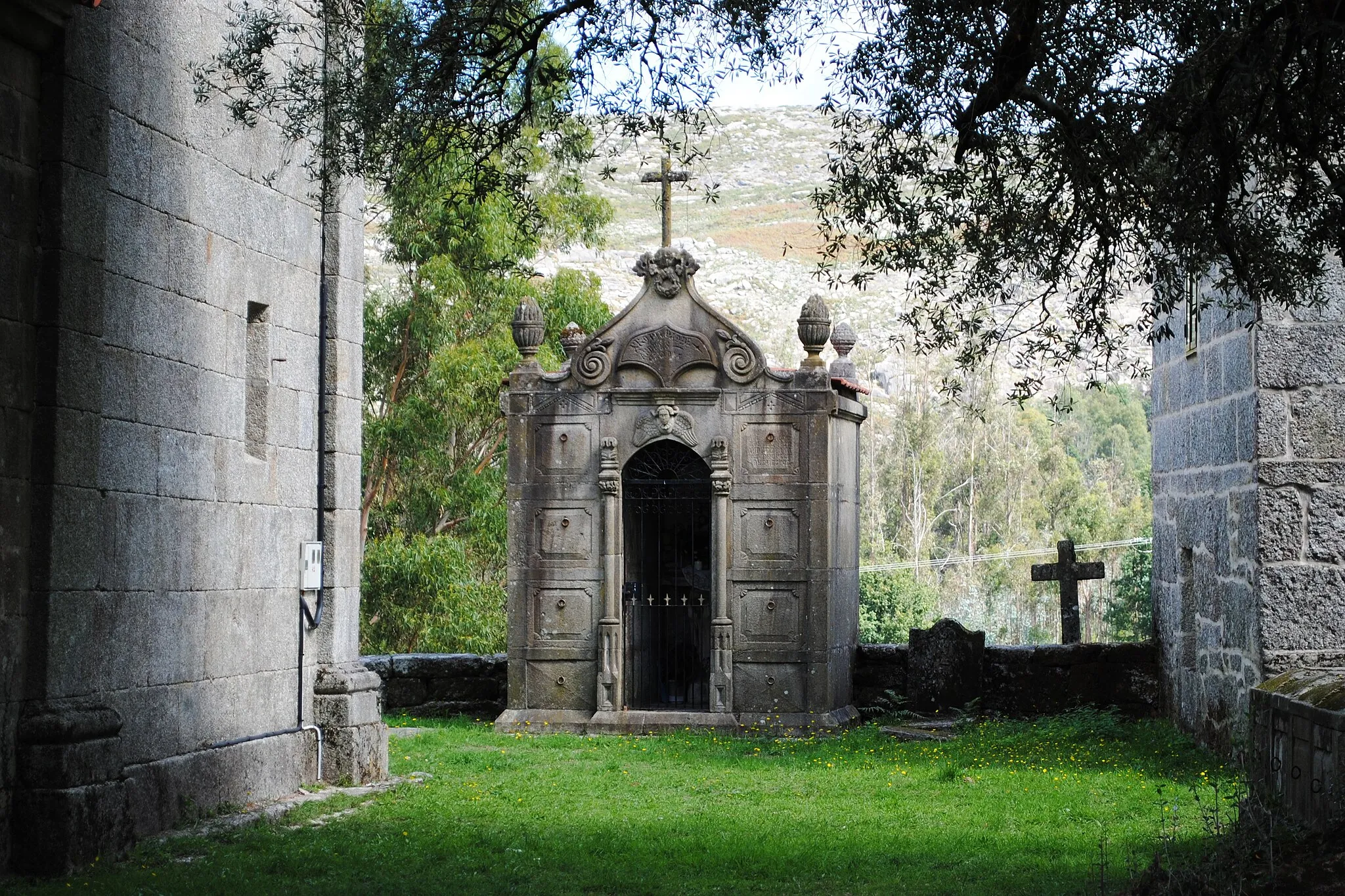
PradoVillagePrado is a small village with a welcoming atmosphere and charming rural surroundings, making it an ideal place for a short break.
51 km
51 km
CubalhãoVillageCubalhão is known for its ancient stone bridge that spans over the Lima River, creating a scenic backdrop for cyclists.
72 km
72 km
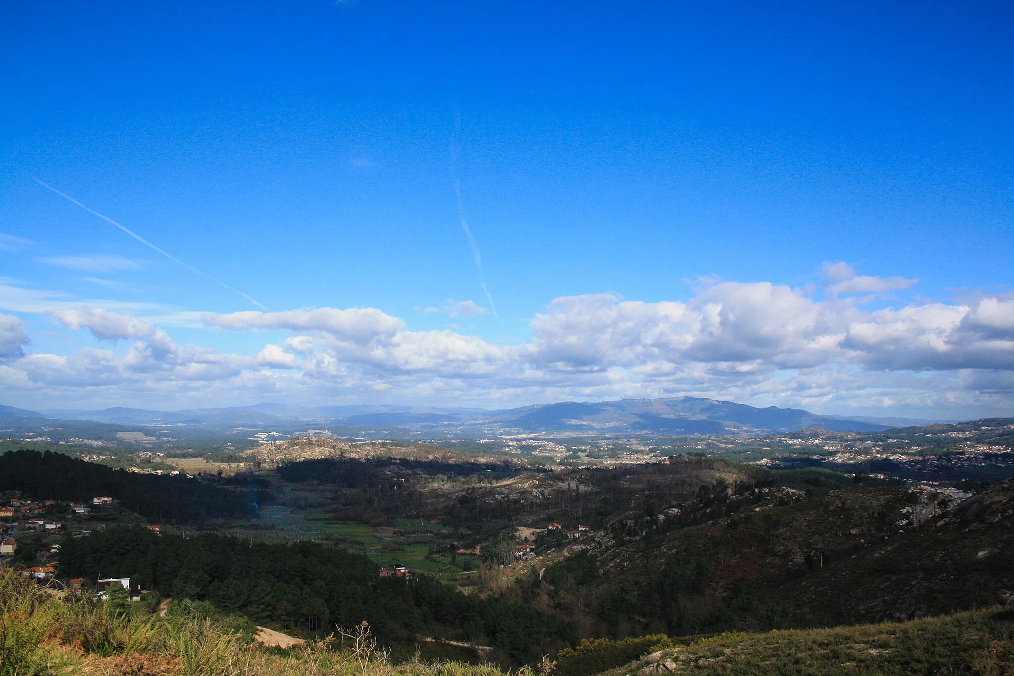
GavieiraVillageGavieira offers cyclists a visual treat with its stunning landscapes and the impressive Gavieira Reservoir.
91 km
91 km
Riba de MouroVillageRiba de Mouro is a quaint village tucked away in the mountains, offering cyclists a memorable ride through its winding roads and picturesque setting.
96 km
96 km
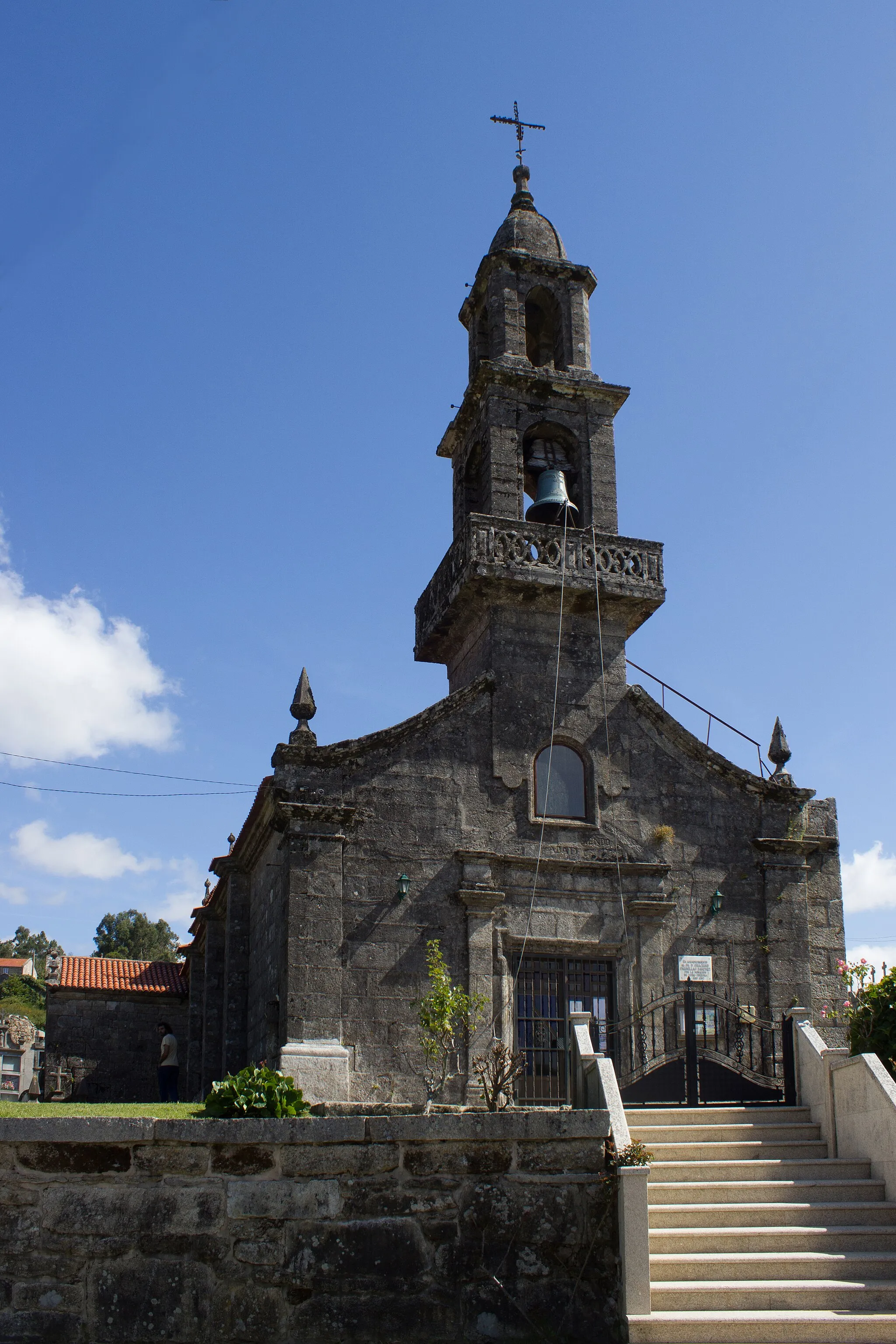
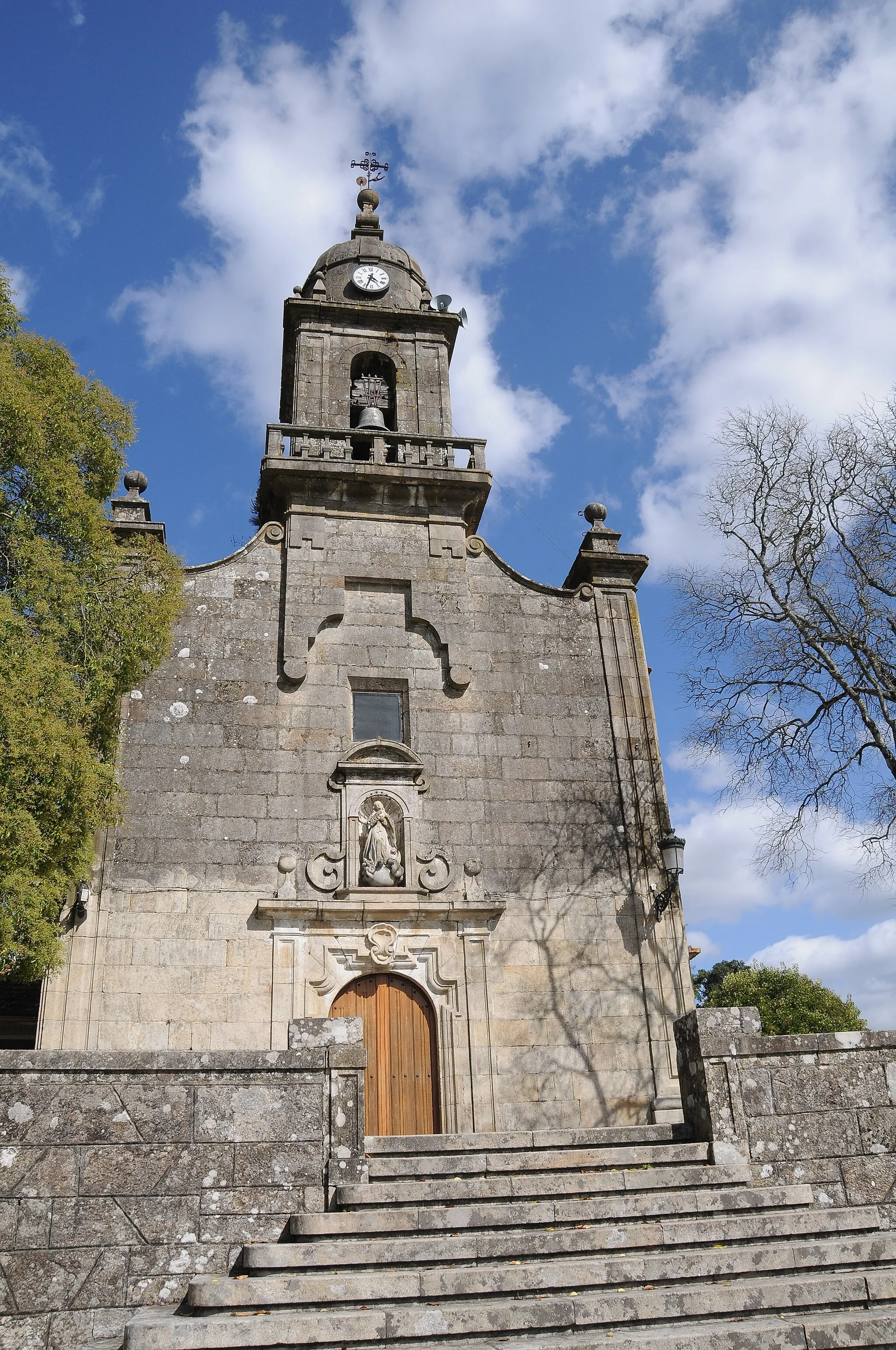
Senhora da Vista244 mPeakSenhora da Vista is a beautiful chapel perched on a hilltop, providing cyclists with a breathtaking viewpoint of the surrounding countryside.
112 km
112 km
Castelo de MonçãoCastleCastelo de Monção, a historic fortress, is a fascinating highlight on the route, offering cyclists a glimpse into the region's past.
112 km
112 km
Baluarte Nossa Senhora da GuiaViewpointBaluarte Nossa Senhora da Guia is a must-visit highlight along the route, serving as a vantage point to admire the stunning landscape.
126 km
126 km
San Mateo de OliveiraSub-urbSan Mateo de Oliveira is a small village known for its charming restaurants and traditional cuisine, providing cyclists with a taste of the local gastronomy.
129 km
129 km
Finish: Ponteareas City centerPonteareas: Picturesque cycling routes through vineyards and countryside
Cycling routes nearby: