Bollington Loop
A gravel cycling route starting from Macclesfield
Gravel adventure through the scenic countryside
Map
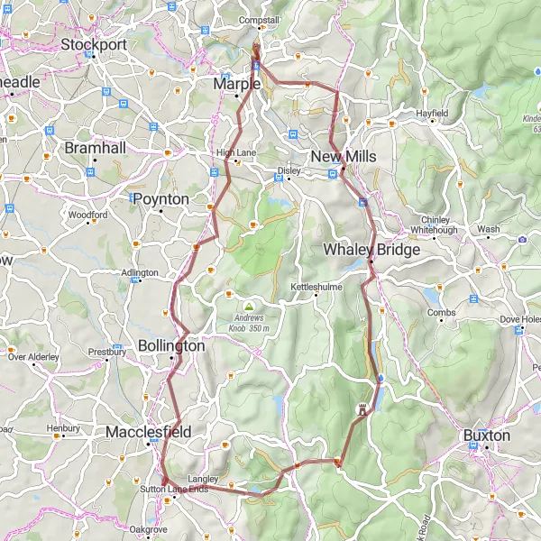
Experience the beauty of the Cheshire countryside on this gravel route that takes you through charming villages and picturesque landscapes. With a moderate difficulty level, this loop offers a rewarding challenge for amateur riders. Along the way, you'll encounter highlights such as Bollington, Styperson Hill, Mellor, Whaley Bridge, Errwood Hall, and Tegg's Nose.
gravel
55 km
750 m
Tough
Route profile
Highlights on the route
0 km
0 km
Start: Langley Village centerMacclesfield: Experience the thrill of cycling and conquer famous climbs in scenic Cheshire.
Macclesfield, located in Cheshire, is a cyclist's paradise. The town and its surroundings offer a wide range of road and gravel cycling opportunities suitable for all levels of riders. The area is surrounded by beautiful countryside and is home to some famous cycling climbs, such as the Cat and Fiddle. Additionally, the Peak District National Park is just a stone's throw away, providing breathtaking landscapes and challenging routes. Macclesfield is a must-visit spot for any cycling enthusiast.8 km
8 km
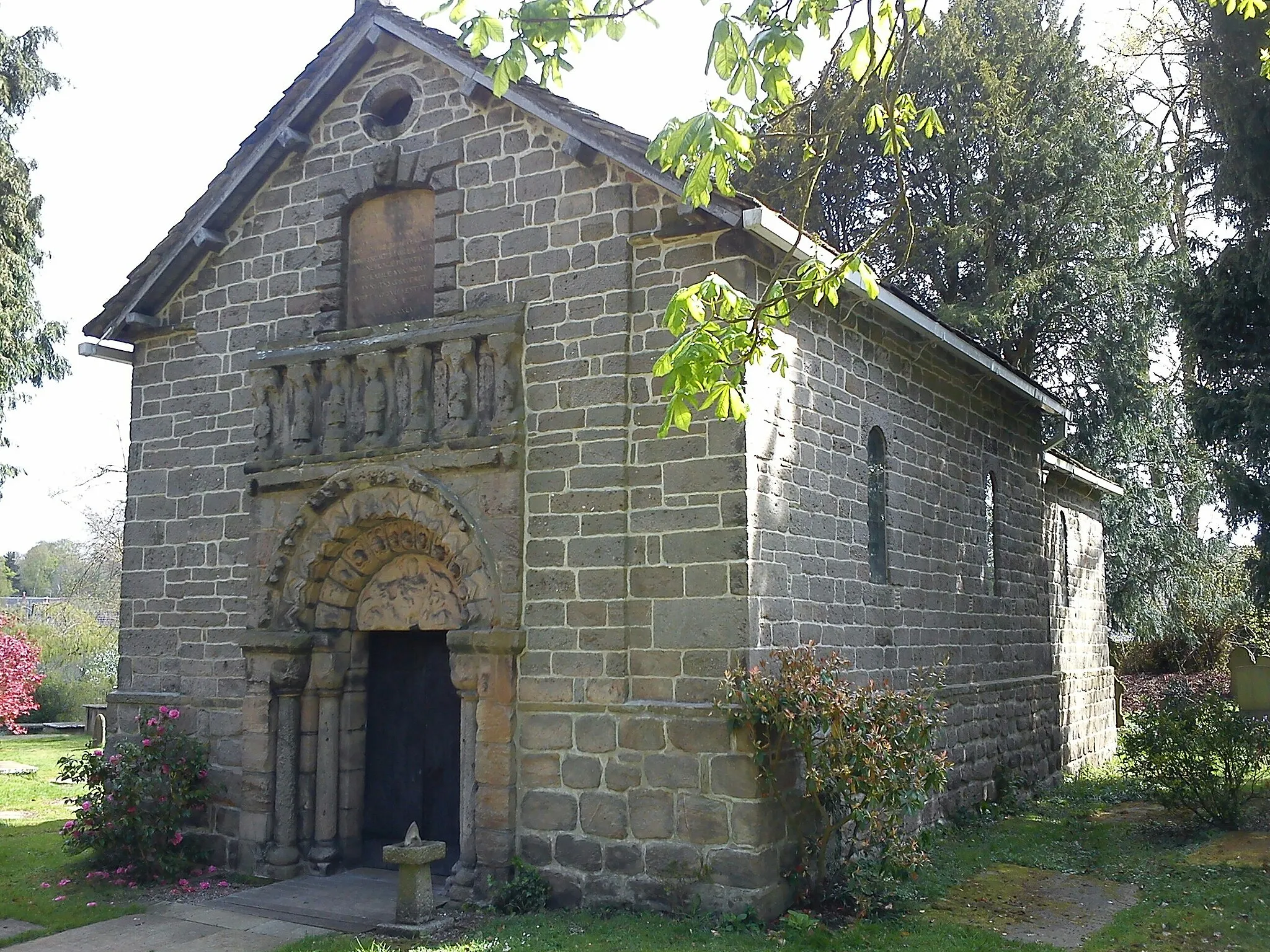
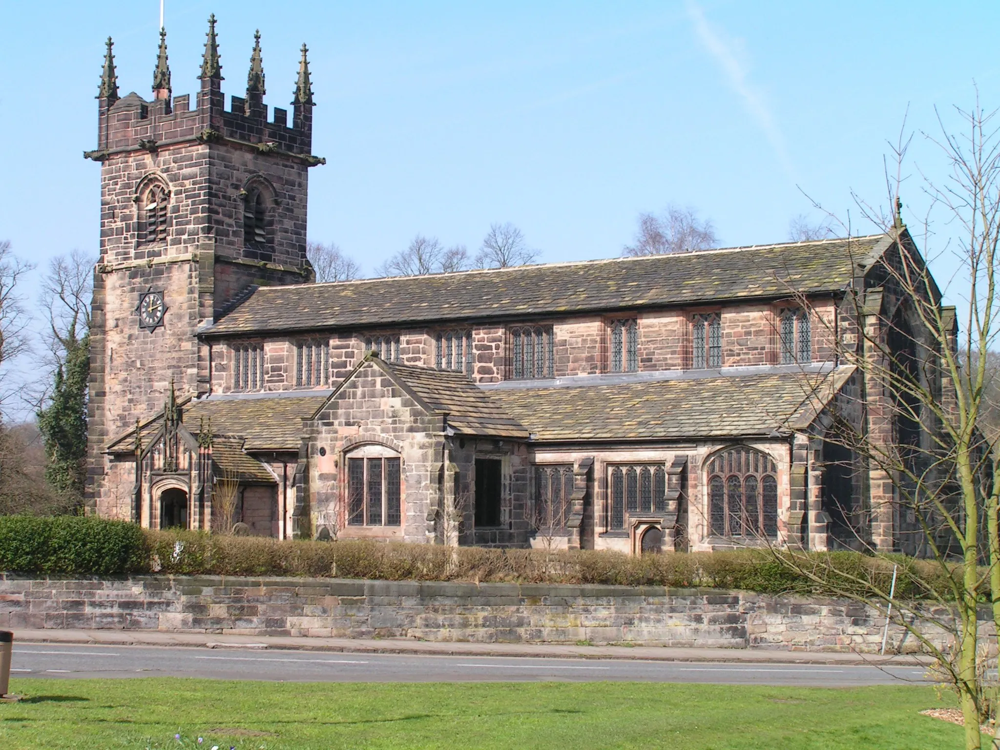
BollingtonTownBollington, a historic village known for its cotton mills and beautiful architecture.
11 km
11 km
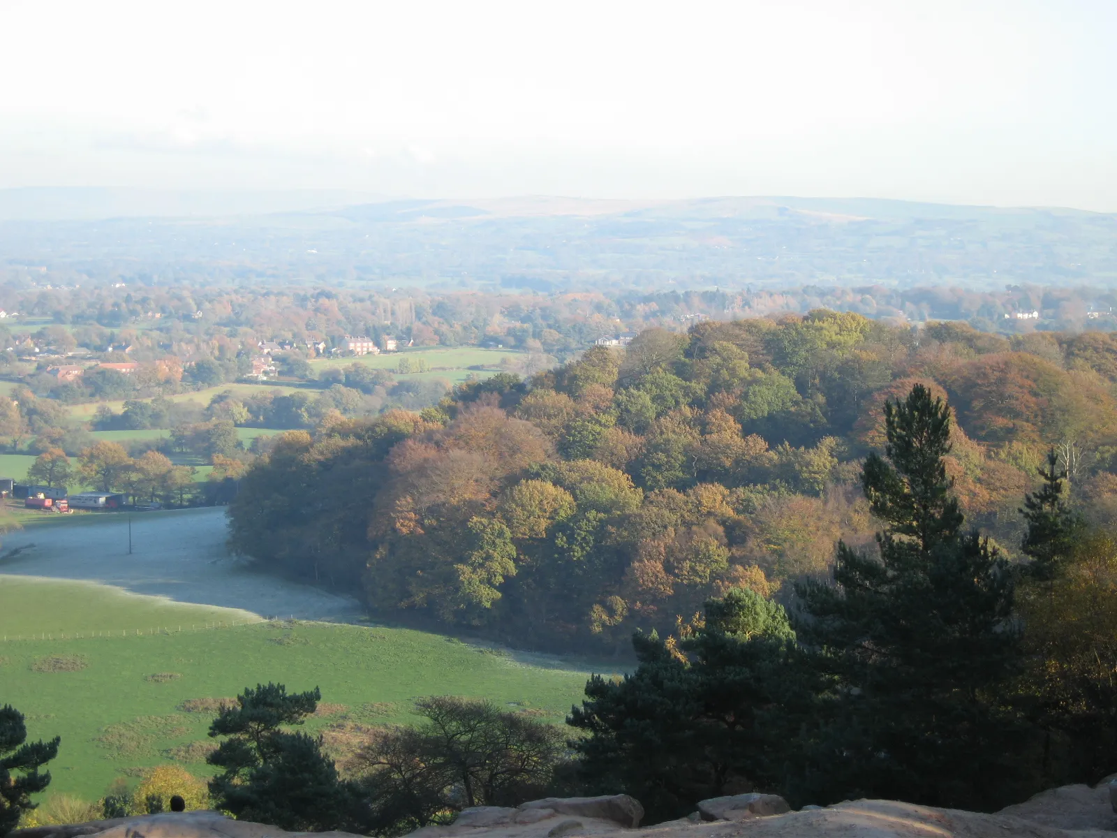
Styperson Hill213 mPeakStyperson Hill, a scenic spot with stunning panoramic views of the surrounding countryside.
26 km
26 km
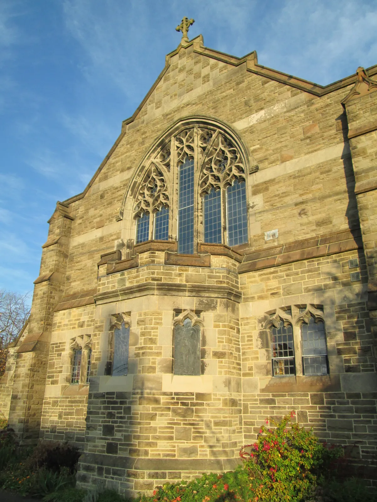
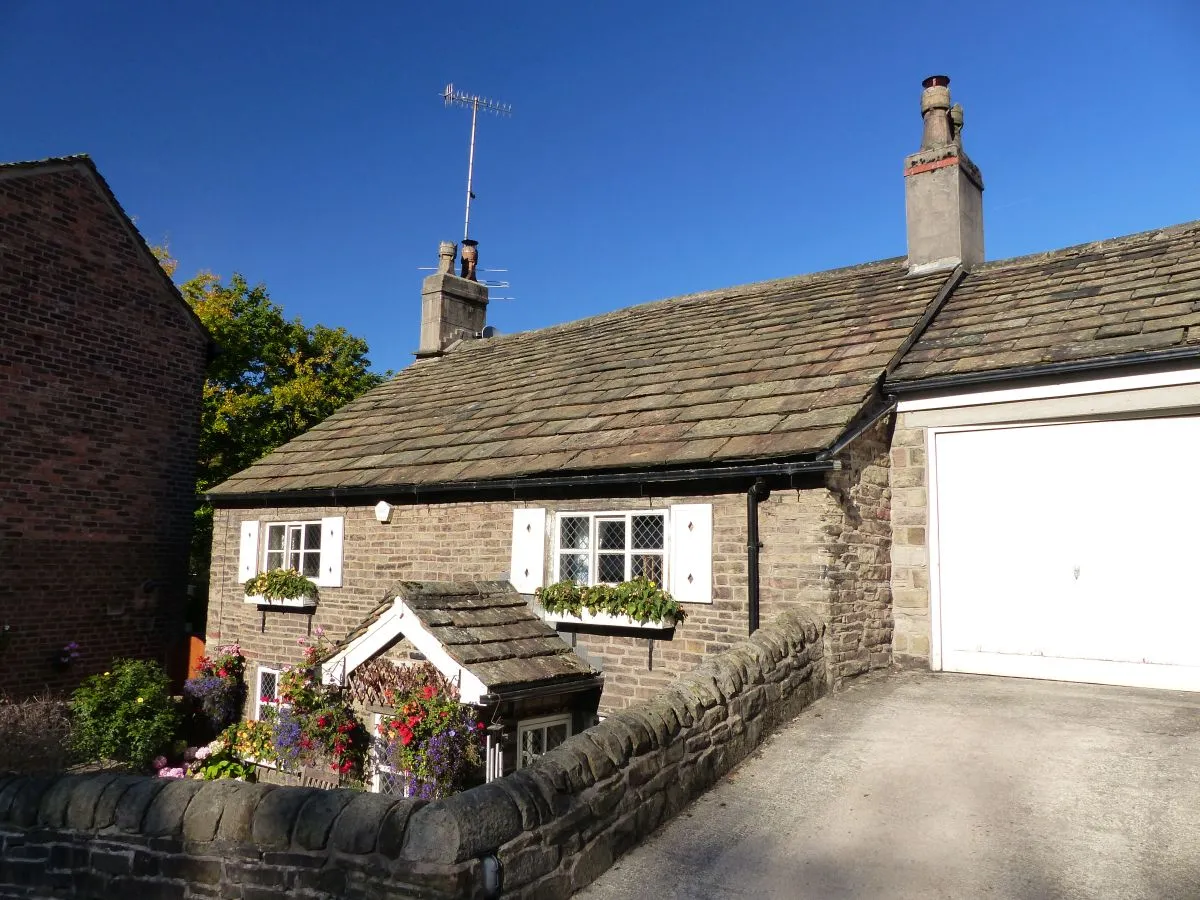
MellorVillageMellor, a charming village with quaint cottages and a vibrant local community.
37 km
37 km
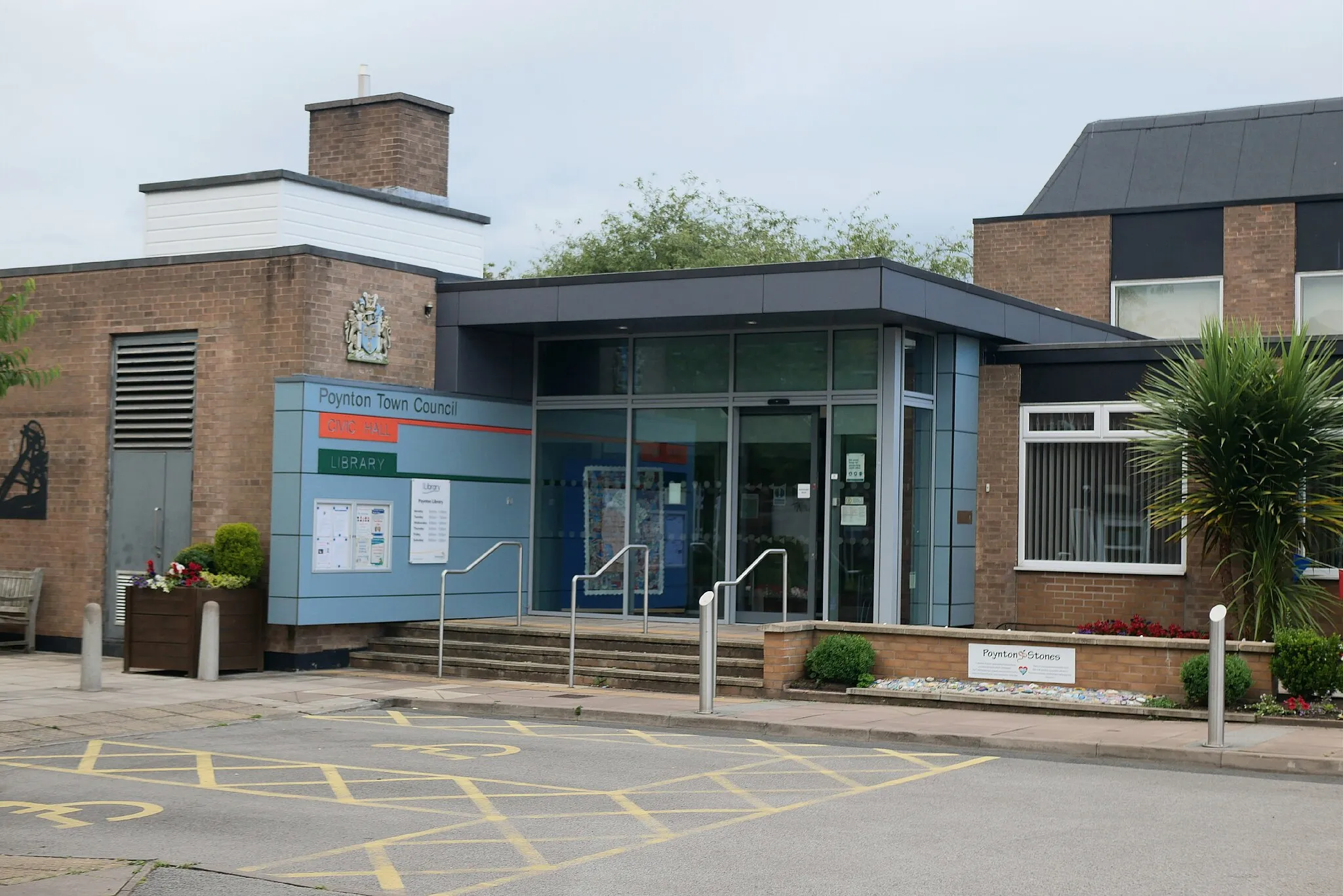
Whaley BridgeTownWhaley Bridge, a small town on the edge of the Peak District National Park, surrounded by beautiful countryside.
45 km
45 km
Errwood HallCastle RuinsErrwood Hall, a ruined mansion set amidst the stunning woodland of the Goyt Valley.
55 km
55 km
Tegg's Nose380 mPeakTegg's Nose, a distinctive hill known for its quarry, walking trails, and panoramic views.
55 km
55 km
Finish: Langley Village centerMacclesfield: Experience the thrill of cycling and conquer famous climbs in scenic Cheshire.
Cycling routes nearby: