The Peak District Challenge
A road cycling route starting from Macclesfield
Embark on a challenging road cycling adventure through the scenic Peak District, including Corbar Hill and Thorpe Cloud.
Map
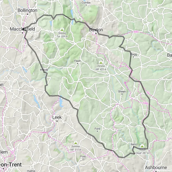
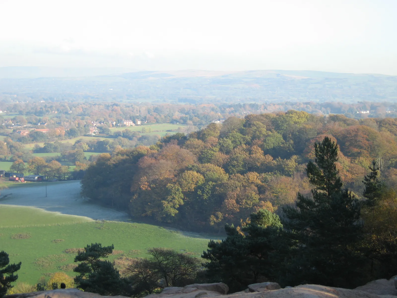
The Peak District Challenge is an adventurous 98km road cycling route that takes you through some of the most stunning landscapes in the Peak District. With a total ascent of 1880 meters, this route is suitable for experienced and well-trained cyclists. Highlights along the way include Corbar Hill, a challenging climb with rewarding views over Buxton and beyond, and Thorpe Cloud, a dramatic limestone hill offering panoramic vistas of the surrounding countryside. This route offers a perfect combination of challenging ascents, thrilling descents, and breathtaking natural beauty.
road
98 km
1880 m
Savage
Route profile
Highlights on the route
0 km
0 km
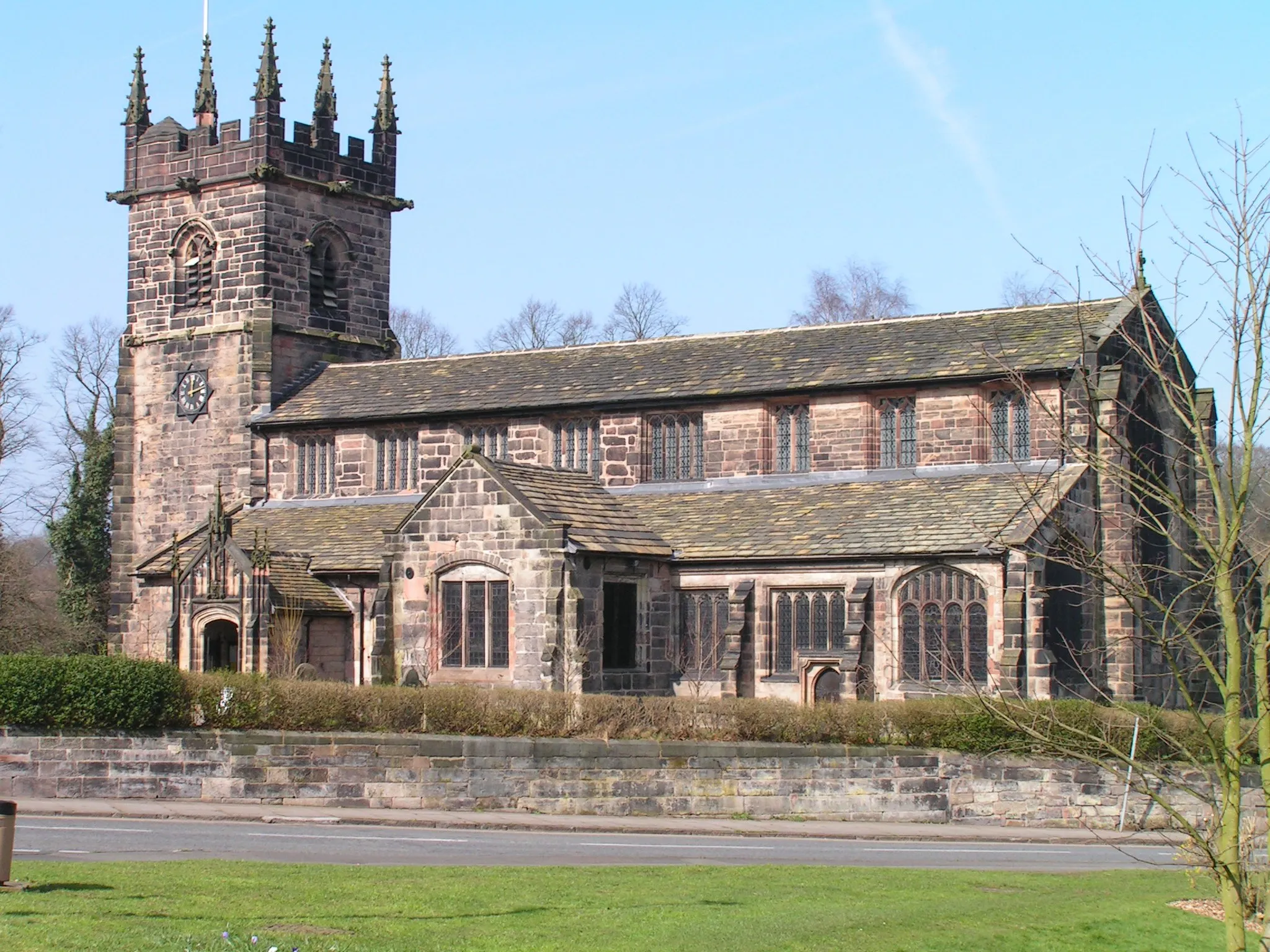
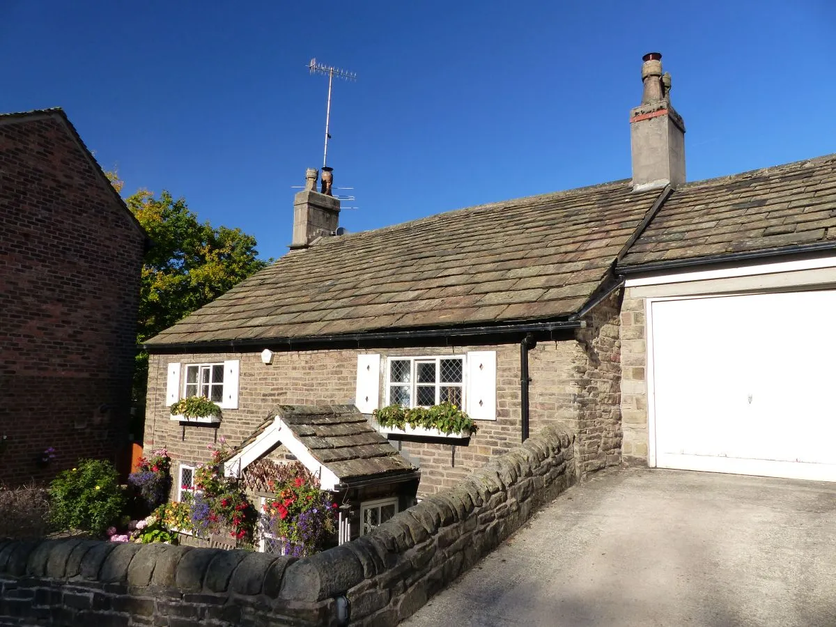
Start: Macclesfield City centerMacclesfield: Experience the thrill of cycling and conquer famous climbs in scenic Cheshire.
Macclesfield, located in Cheshire, is a cyclist's paradise. The town and its surroundings offer a wide range of road and gravel cycling opportunities suitable for all levels of riders. The area is surrounded by beautiful countryside and is home to some famous cycling climbs, such as the Cat and Fiddle. Additionally, the Peak District National Park is just a stone's throw away, providing breathtaking landscapes and challenging routes. Macclesfield is a must-visit spot for any cycling enthusiast.0 km
0 km
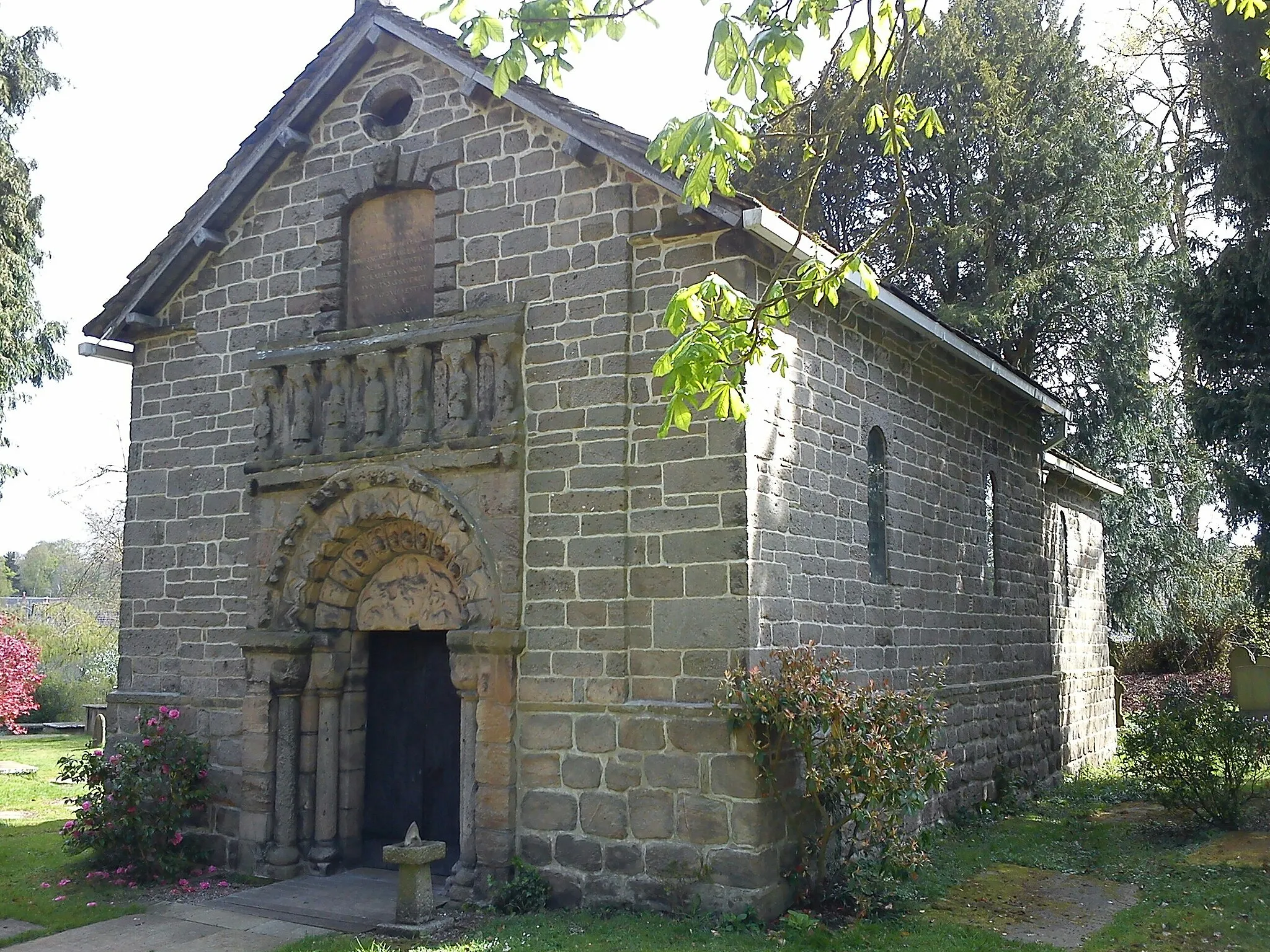
MacclesfieldTownMacclesfield, a bustling market town known as the gateway to the Peak District with a rich history and vibrant cultural scene.
17 km
17 km
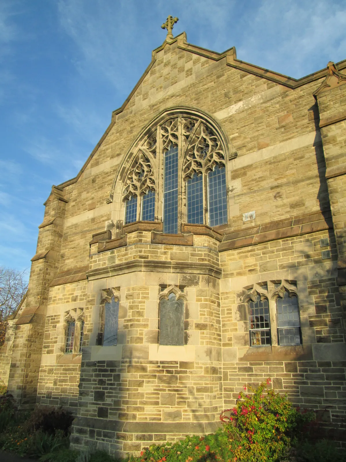
Corbar Hill437 mPeakCorbar Hill, a tough climb providing breathtaking views of the surrounding moorland and valleys.
26 km
26 km
Calton Hill400 mPeakCalton Hill, an ancient hill fort offering spectacular panoramic vistas of the Peak District.
31 km
31 km
FlaggVillageFlagg, a peaceful village surrounded by picturesque farmland, perfect for a pit stop.
53 km
53 km
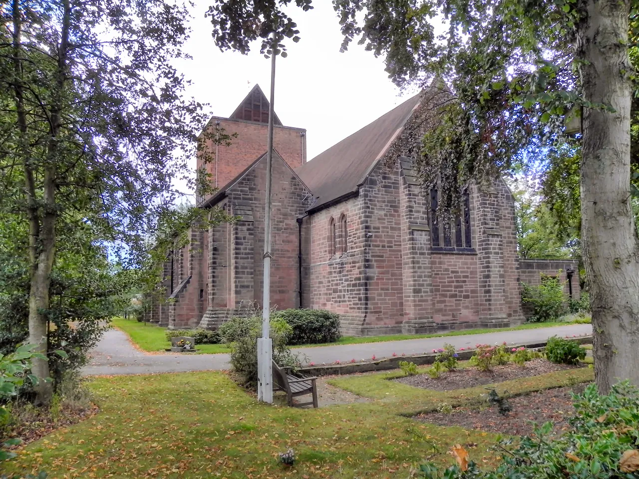
ThorpeVillageThorpe, a charming village with a traditional country pub and stunning views of Thorpe Cloud.
54 km
54 km
Thorpe Cloud287 mPeakThorpe Cloud, an iconic limestone hill rewarding climbers with stunning views of the River Dove and the surrounding countryside.
63 km
63 km
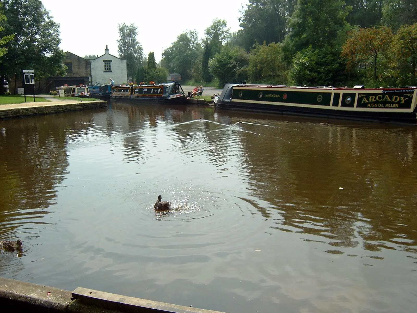
WaterhousesVillageWaterhouses, a picturesque village on the banks of the River Hamps with quaint cafés and pubs.
82 km
82 km
Gun385 mPeakGun, a rocky outcrop with panoramic views of the picturesque Manifold Valley.
87 km
87 km
WincleVillageWincle, a charming village nestled in the heart of the Dane Valley, known for its welcoming pubs and peaceful atmosphere.
98 km
98 km
Finish: Macclesfield City centerMacclesfield: Experience the thrill of cycling and conquer famous climbs in scenic Cheshire.
Cycling routes nearby: