The Cheshire Challenge
A road cycling route starting from Macclesfield
Embark on a road cycling challenge and discover hidden gems like Ian Curtis' Grave and Cown Edge.
Map
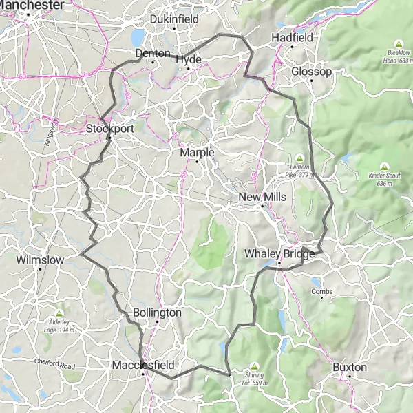
The Cheshire Challenge is an 80km road cycling route that offers a thrilling challenge for experienced riders. With a total ascent of 1398 meters, this route takes you through some of the most picturesque landscapes in Cheshire. Highlights along the way include a visit to the final resting place of Ian Curtis, lead singer of the iconic band Joy Division, and the stunning Cown Edge, a ridge offering breathtaking panoramic views. This route combines demanding climbs, exhilarating descents, and interesting cultural landmarks.
road
80 km
1398 m
Tough
Route profile
Highlights on the route
0 km
0 km
Start: Macclesfield City centerMacclesfield: Experience the thrill of cycling and conquer famous climbs in scenic Cheshire.
Macclesfield, located in Cheshire, is a cyclist's paradise. The town and its surroundings offer a wide range of road and gravel cycling opportunities suitable for all levels of riders. The area is surrounded by beautiful countryside and is home to some famous cycling climbs, such as the Cat and Fiddle. Additionally, the Peak District National Park is just a stone's throw away, providing breathtaking landscapes and challenging routes. Macclesfield is a must-visit spot for any cycling enthusiast.0 km
0 km
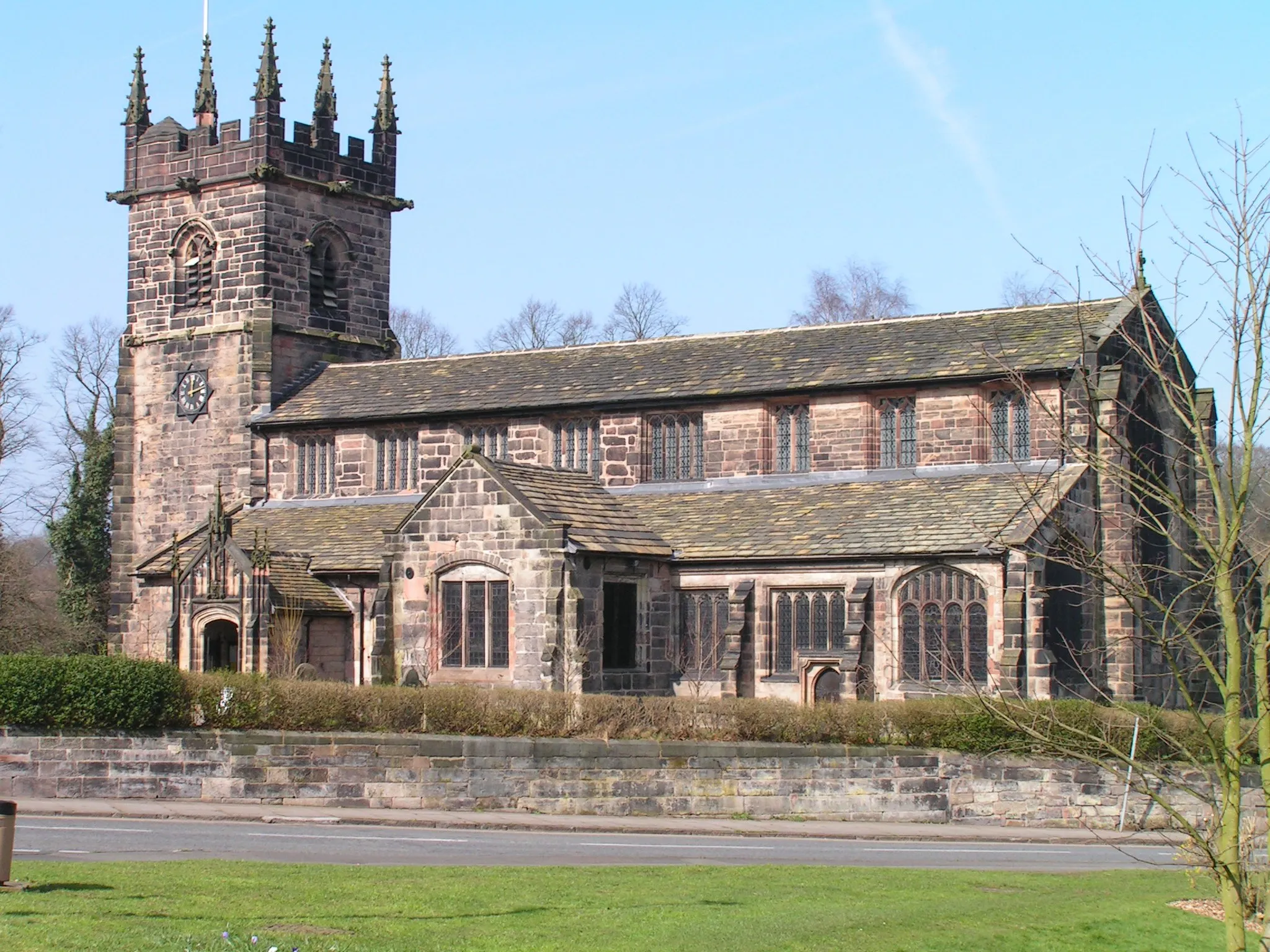
MacclesfieldTownMacclesfield, a vibrant town with a wide range of cultural attractions and a strong cycling community.
1 km
1 km
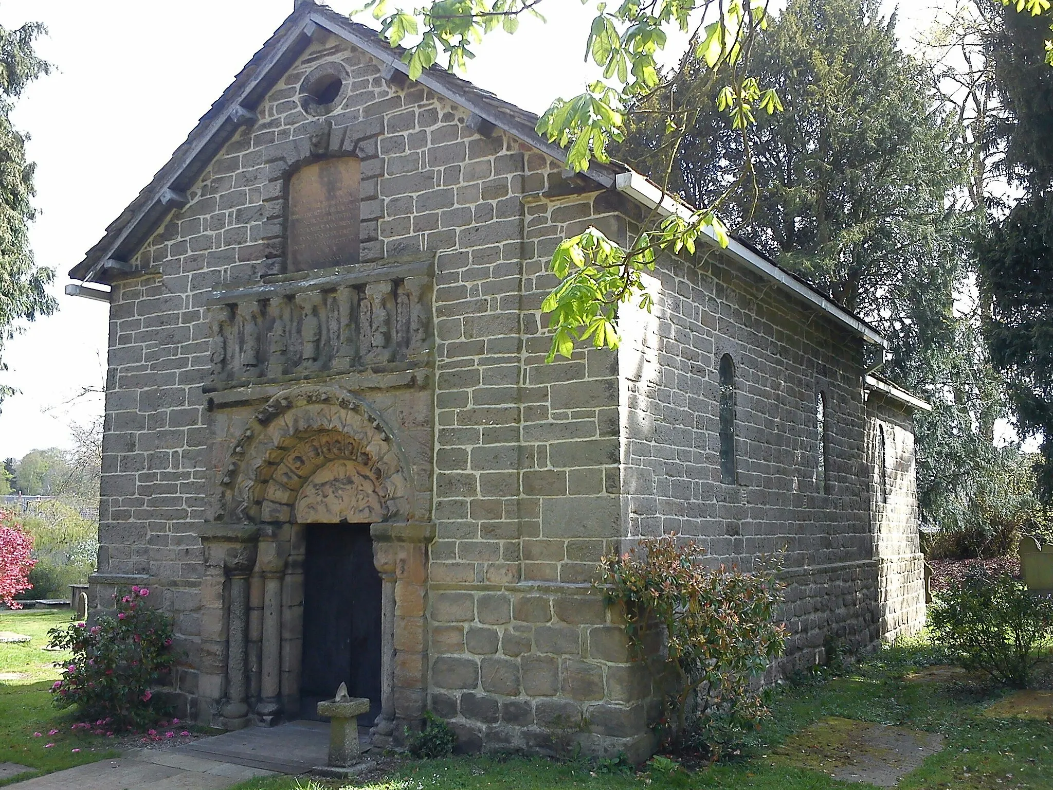
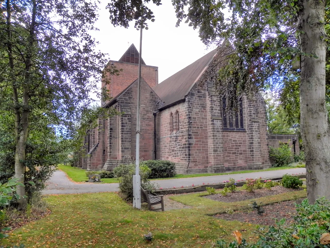
Ian Curtis’ GraveViewpointIan Curtis’ Grave, a site of pilgrimage for Joy Division fans.
33 km
33 km
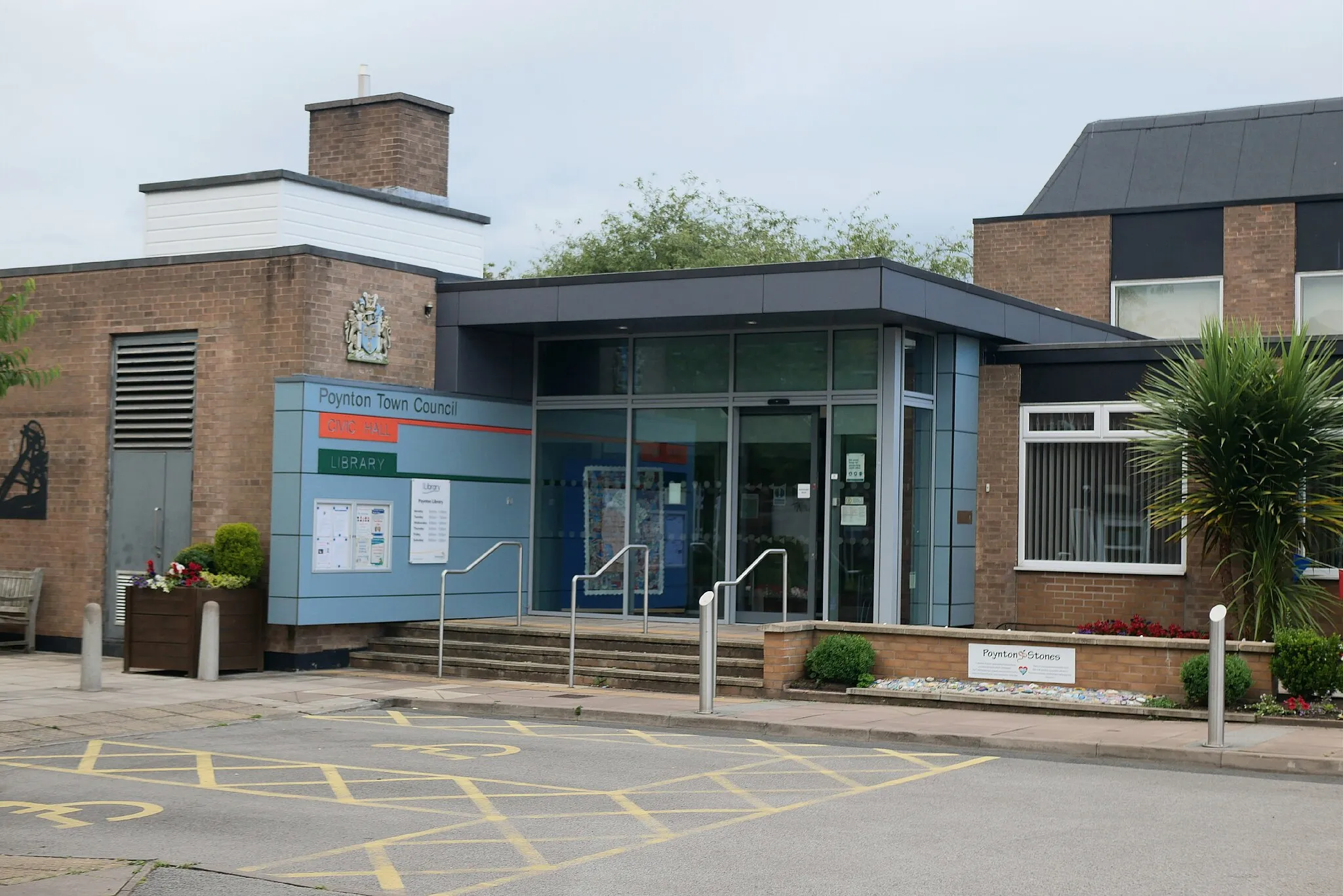
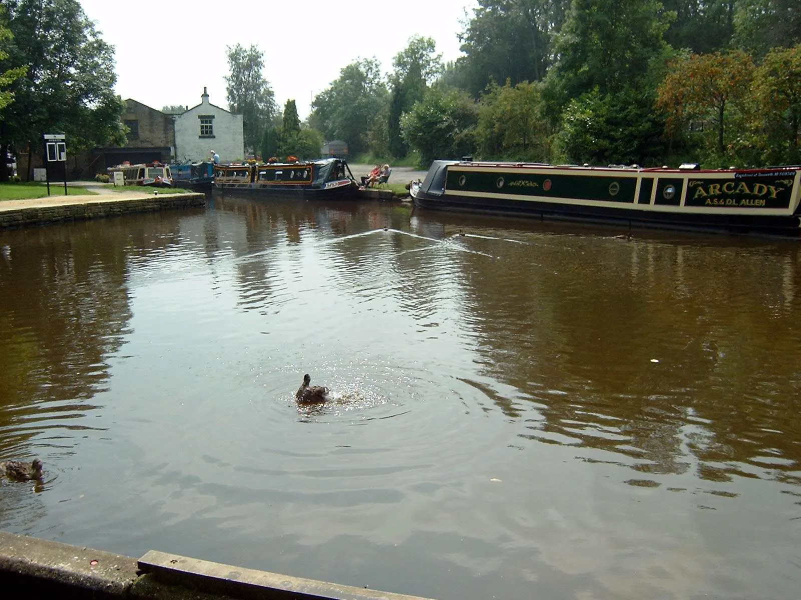
HydeTownHyde, a historic market town known for its charming streets and independent shops.
45 km
45 km
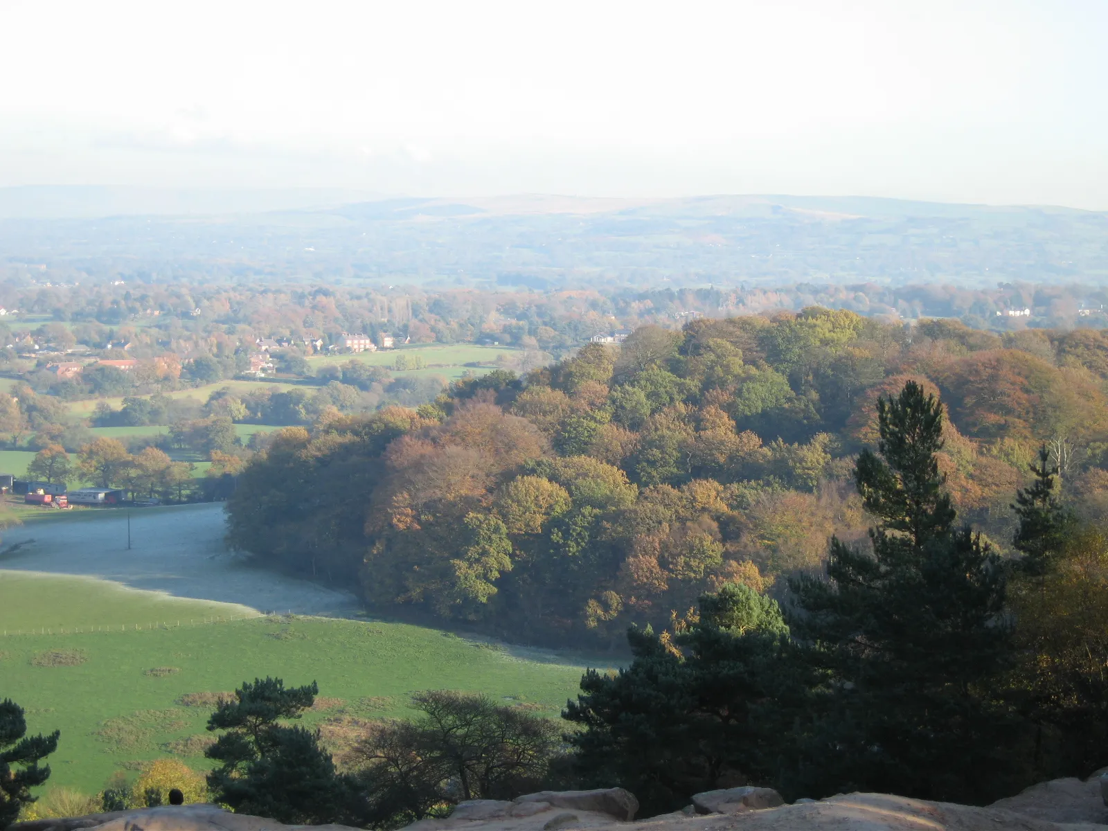
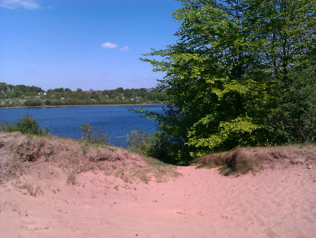
Cown Edge411 mPeakCown Edge, a scenic ridge offering panoramic views over the surrounding countryside.
58 km
58 km
Eccles Pike370 mViewpointEccles Pike, a popular spot for hikers and cyclists with stunning views from the summit.
64 km
64 km
KettleshulmeVillageKettleshulme, a picturesque hamlet set in the tranquil High Peak District.
75 km
75 km
Walker BarnHamletWalker Barn, a well-preserved example of Cheshire's agricultural heritage.
76 km
76 km
Tegg's Nose380 mPeakTegg's Nose, a country park known for its distinctive hill with beautiful walks and views.
80 km
80 km
Finish: Macclesfield City centerMacclesfield: Experience the thrill of cycling and conquer famous climbs in scenic Cheshire.
Cycling routes nearby: