Humber Bridge to Gilberdyke Scenic Ride
A road cycling route starting from Brough
Embark on a scenic ride from Humber Bridge to Gilberdyke, and soak in the beauty of the surroundings.
Map
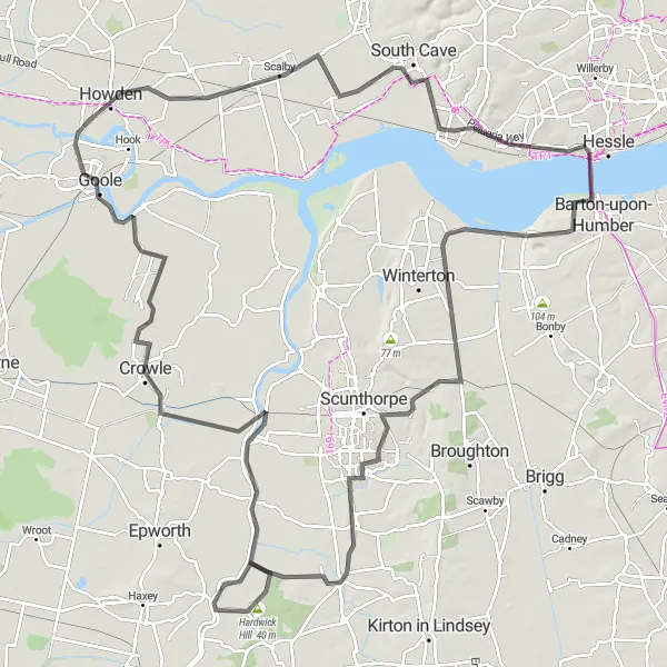
Set off on a scenic ride from Humber Bridge to Gilberdyke, covering a distance of 128 kilometers with an ascent of 295 meters. This route is suitable for experienced cyclists seeking to indulge in the beauty of East Yorkshire. Highlights of this route include Appleby, Bottesford, Owston Ferry, and Gilberdyke, each offering their own unique attractions.
road
128 km
295 m
Tough
Route profile
Highlights on the route
0 km
0 km
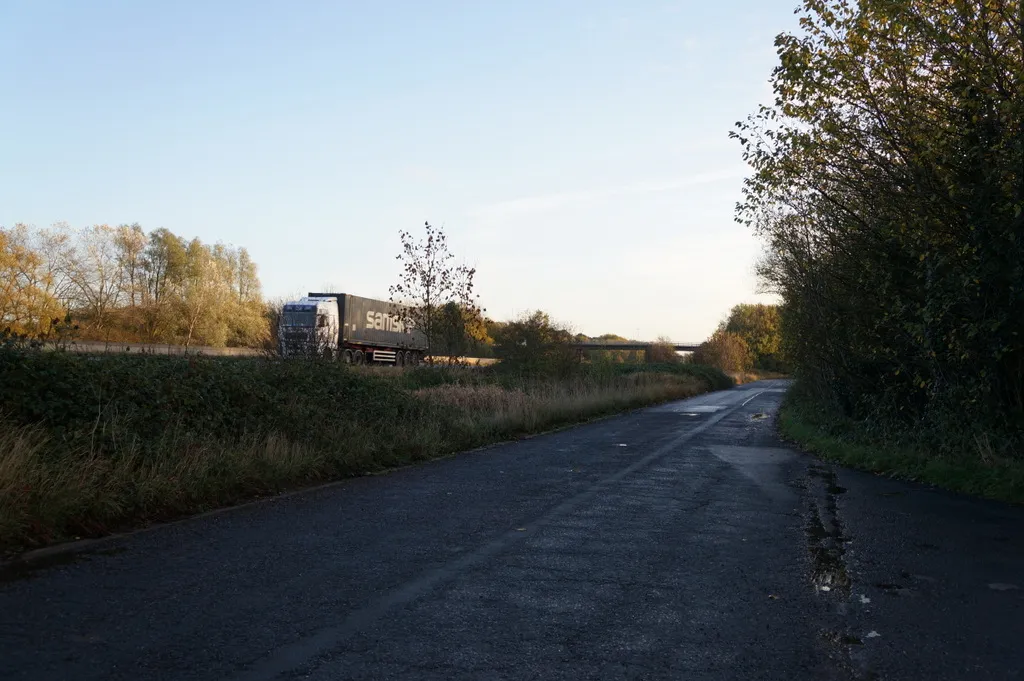
Start: Brough Village centerBrough: Exploring the diverse landscapes of Brough
Brough, located in East Yorkshire and Northern Lincolnshire, United Kingdom, is a magnificent destination for road and gravel cyclists. The locality offers a range of scenic routes, both along the coast and inland, allowing cyclists to experience the diverse landscapes of the region. Brough is surrounded by picturesque countryside and charming villages, providing plenty of opportunities for exploration. Cyclists visiting Brough can also enjoy the challenging climbs in the nearby North York Moors National Park. With its stunning scenery and cyclist-friendly routes, Brough is an excellent choice for cyclists seeking a memorable ride.10 km
10 km
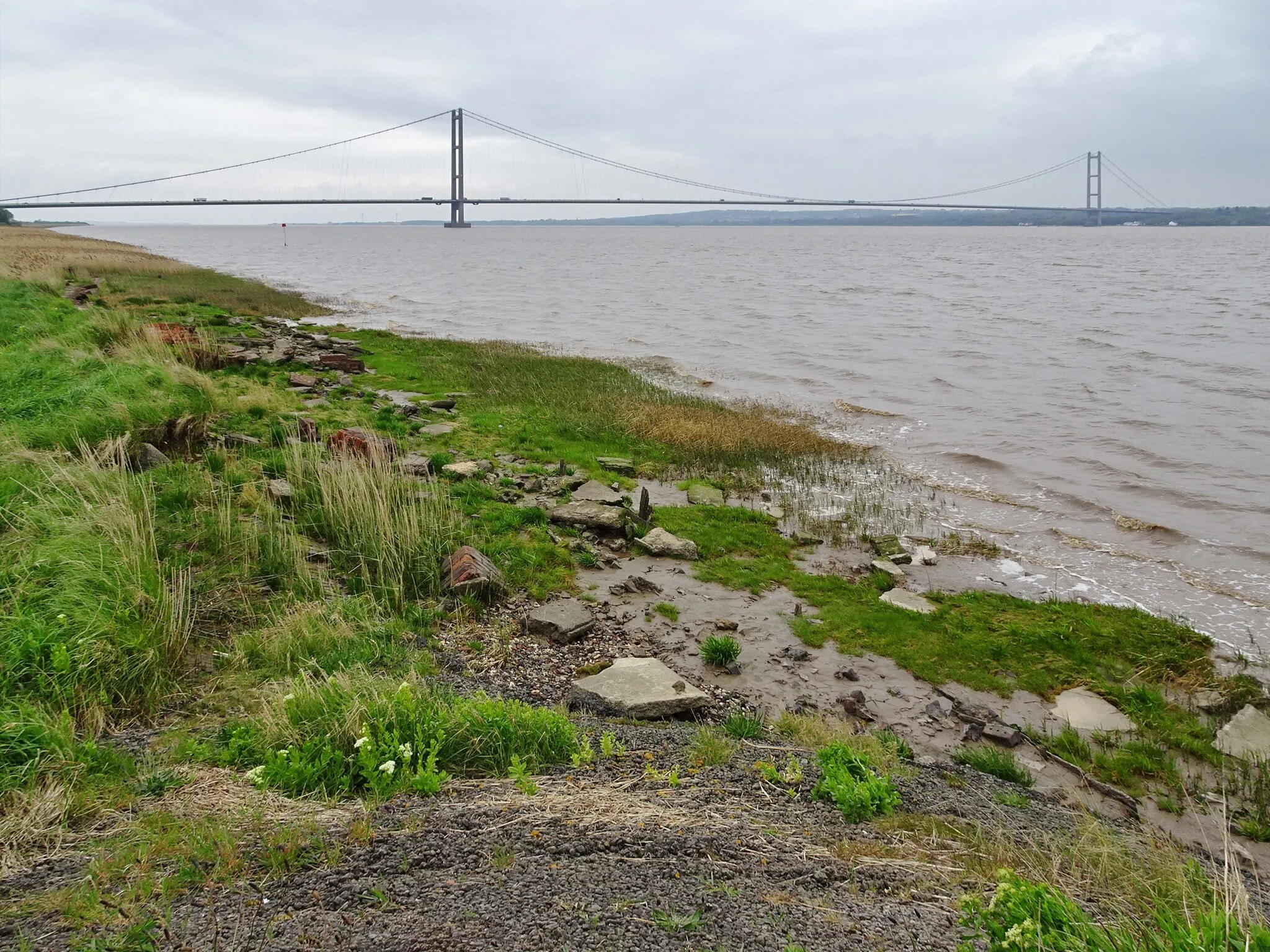
Humber BridgeAttractionThe iconic Humber Bridge provides sweeping views of the river and its picturesque surroundings. Stop at one of the viewing points to capture the breathtaking scenery.
28 km
28 km
ApplebyVillageAppleby is a charming village known for its historic buildings and idyllic atmosphere. Admire the well-preserved architecture and soak in the village's timeless charm.
40 km
40 km
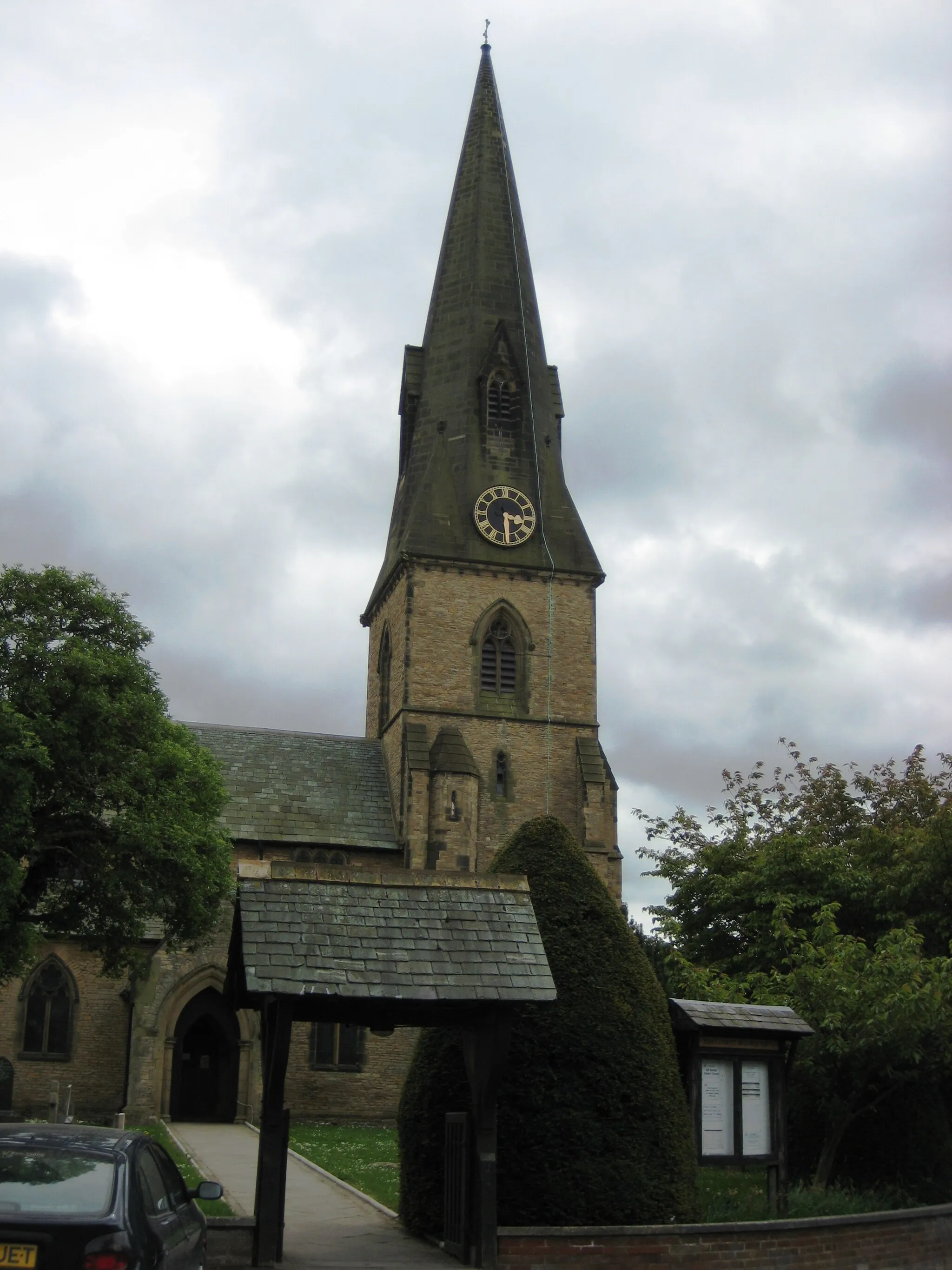
BottesfordSub-urbBottesford is a vibrant market town with a rich history and welcoming ambiance. Explore the local shops, cafes, and architecture.
56 km
56 km
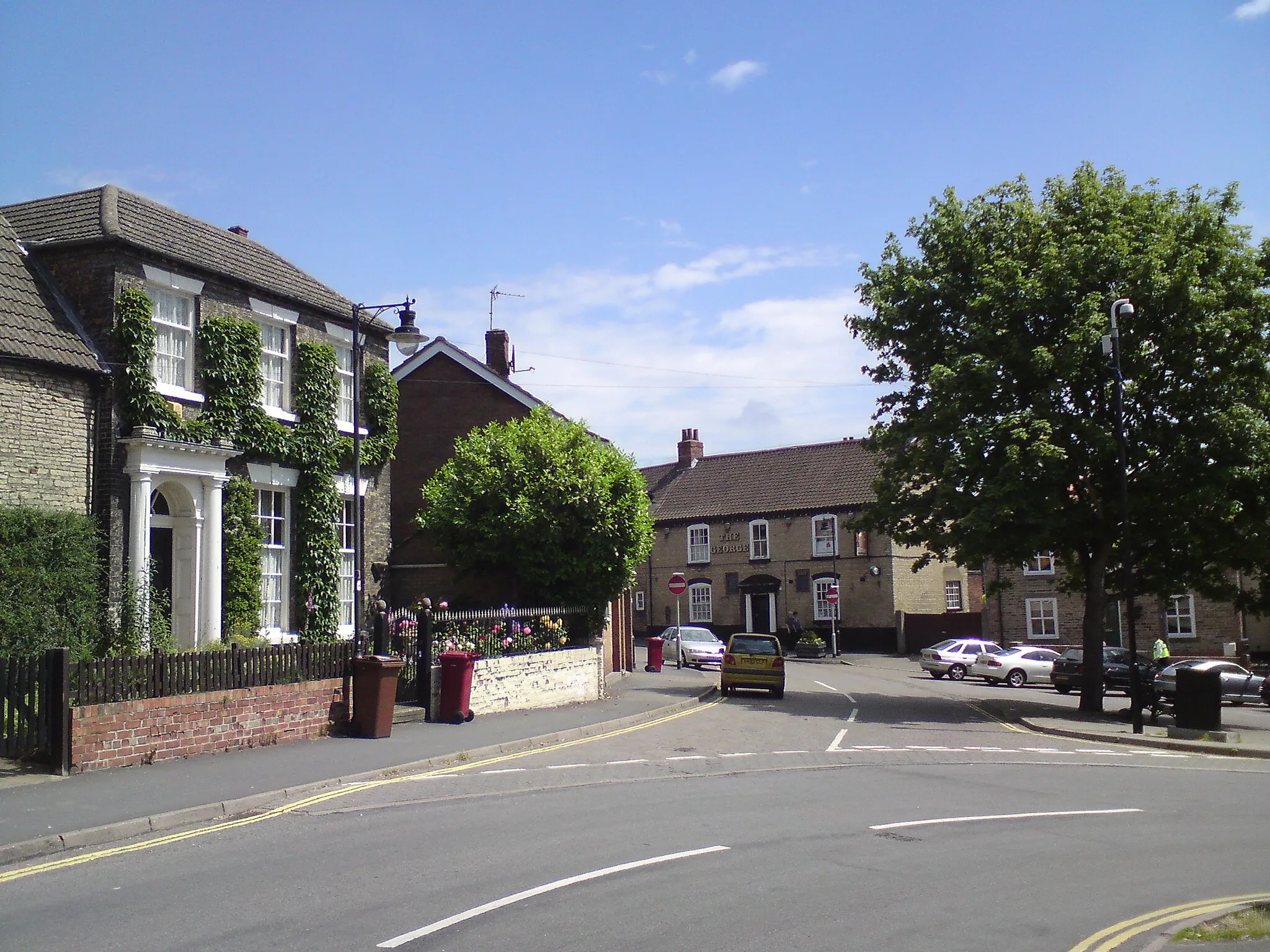
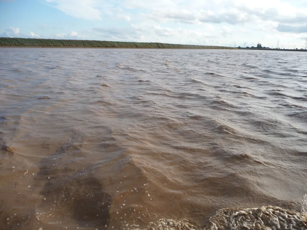
Owston FerryVillageOwston Ferry is a tranquil village located on the banks of the River Trent. Take a moment to appreciate the serene ambiance and enjoy a leisurely stroll along the river bank.
59 km
59 km
Hardwick Hill40 mPeakHardwick Hill offers stunning panoramic views of the East Yorkshire countryside. Climb to the top and be rewarded with breathtaking vistas.
66 km
66 km
West ButterwickVillageWest Butterwick is a peaceful village situated on the banks of the River Trent. Take a moment to relax and soak in the natural beauty.
81 km
81 km
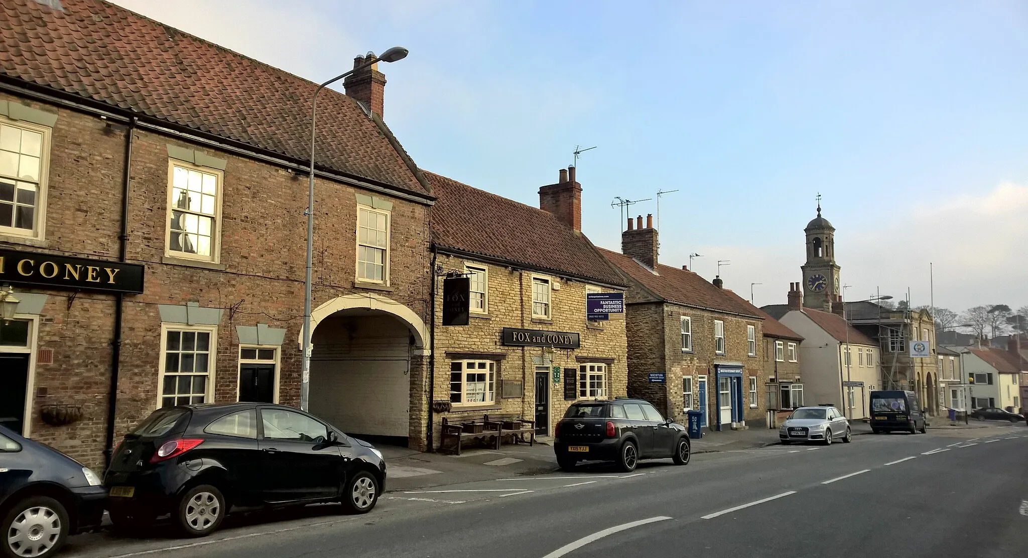
CrowleTownCrowle is a historic market town with a unique blend of traditional and contemporary influences. Discover the town's rich heritage and explore its charming streets.
97 km
97 km
GooleTownGoole is a bustling town with a wide range of attractions, including museums, parks, and vibrant shopping areas. Immerse yourself in the town's energetic atmosphere.
112 km
112 km
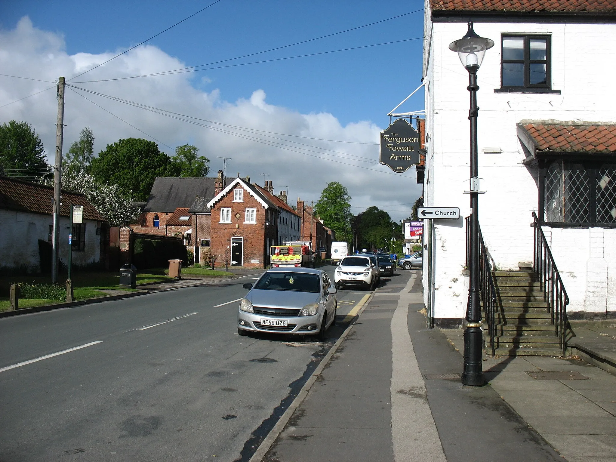
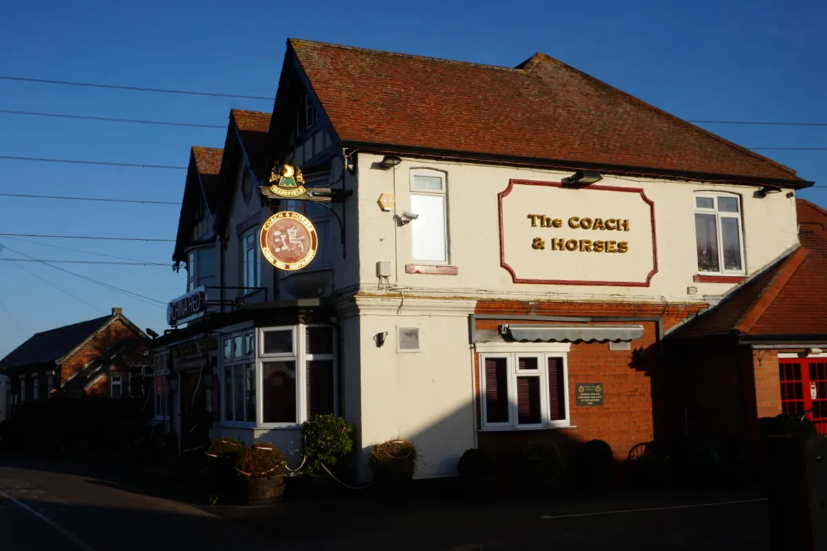
GilberdykeVillageGilberdyke is a quaint village known for its traditional pubs, friendly locals, and scenic beauty. Take a break and enjoy the village's peaceful ambiance.
123 km
123 km
EllerkerVillageEllerker is a picturesque village with stunning countryside views. Rest and recharge in this charming, tranquil setting.
128 km
128 km
Finish: Brough Village centerBrough: Exploring the diverse landscapes of Brough
Cycling routes from Brough:
Brough to Barton Upon Humber Loop Brough to Goole Grand Tour The Brough Beck Loop The Kilpin Loop Brough to Blacktoft Nature Reserve The Wolds Tour Brough to Hessle Magic Ride Humber Bridge to Gilberdyke Scenic Ride The East Yorkshire Excursion Humber Bridge Circular Road Cycling Route The Brough Loop Around Brough Villages
Cycling routes nearby: