![Cover image](https://images.tarmacs.app/cycling-routes/photos/united-kingdom/east-yorkshire-and-northern-lincolnshire/363084840/swanland-1.webp)
The Gravel Valley
A gravel cycling route starting from North Ferriby
A gravel adventure through Brough, North Cave, Sancton, Molescroft, and Swanland
![Map miniature of "The Gravel Valley" cycling inspiration in East Yorkshire and Northern Lincolnshire, United Kingdom. Generated by Tarmacs.app cycling route planner](https://images.tarmacs.app/cycling-routes/routemaps/600/united-kingdom/east-yorkshire-and-northern-lincolnshire/north-ferriby/gravel/64359.webp)
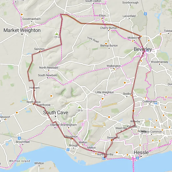
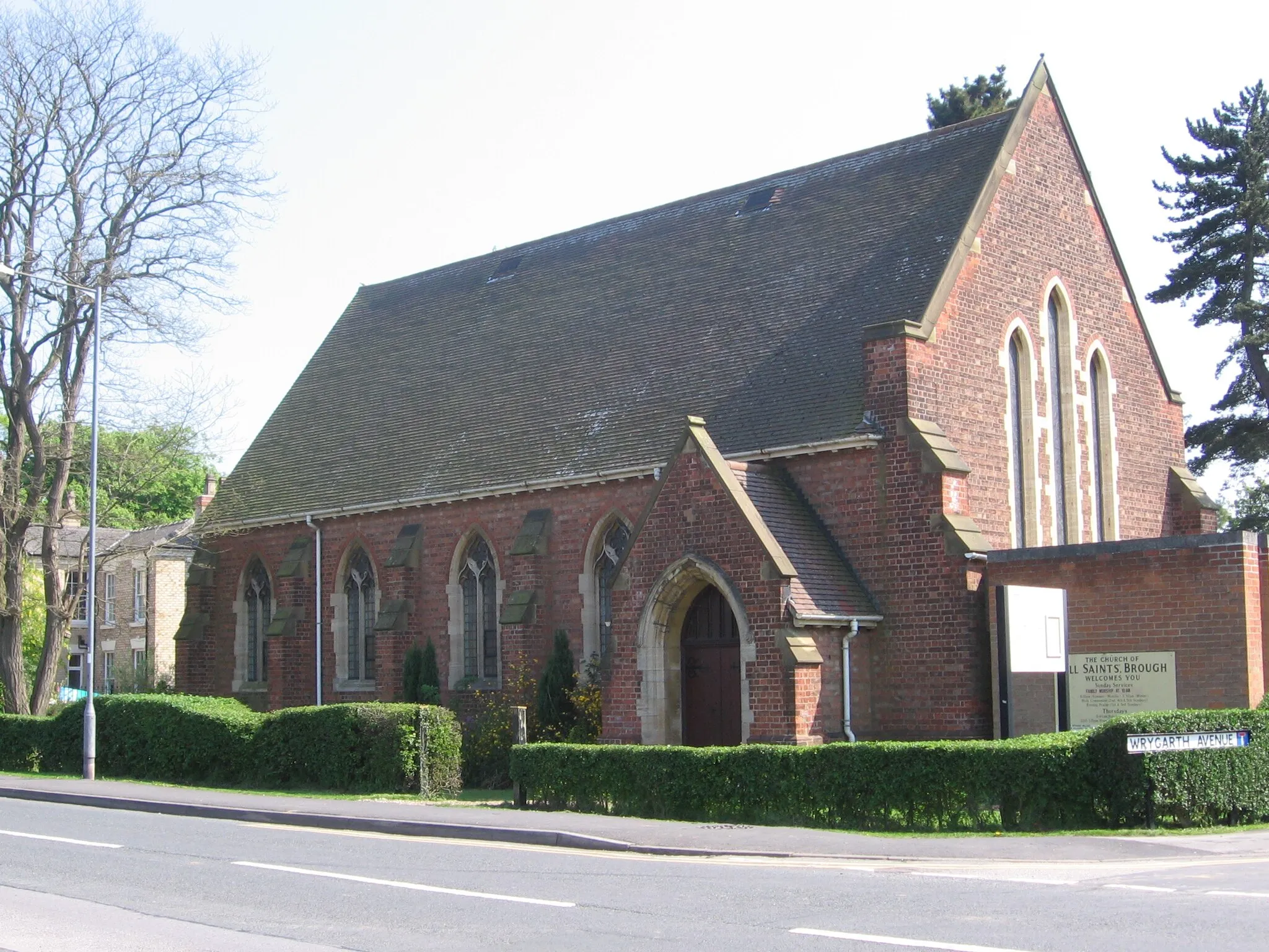
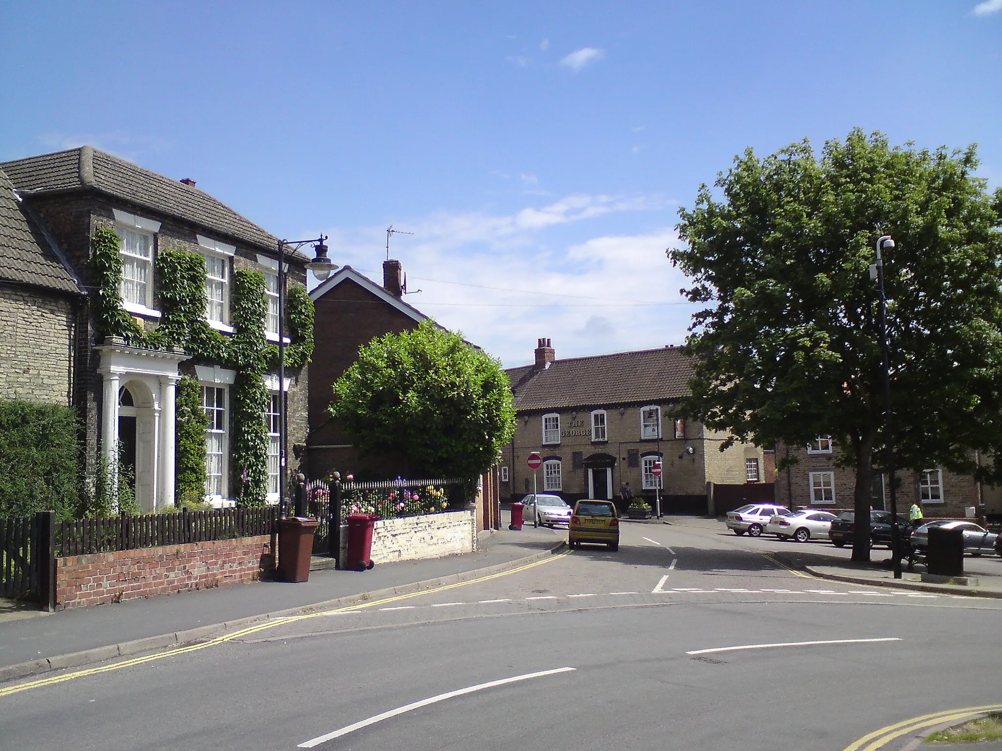
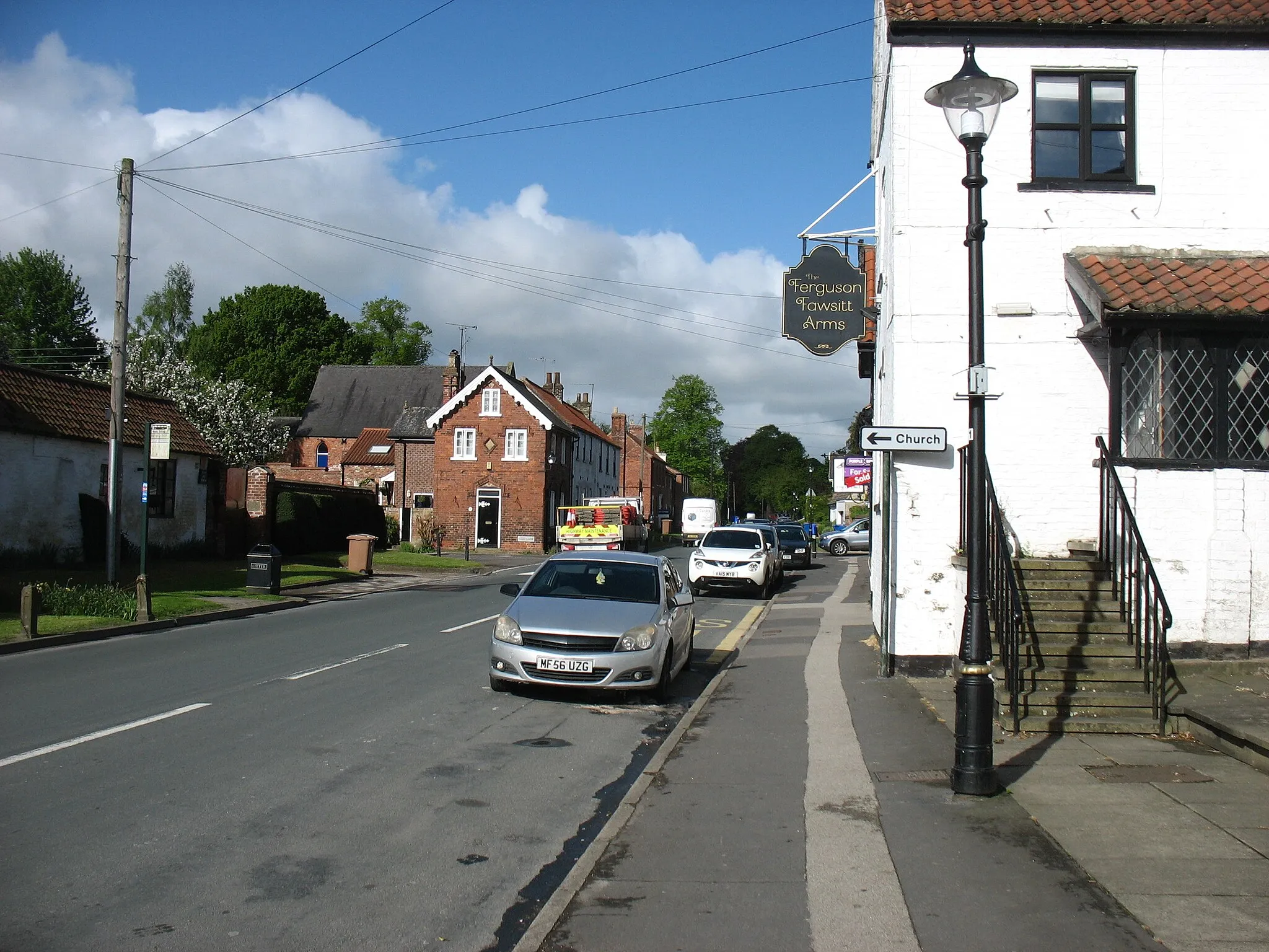
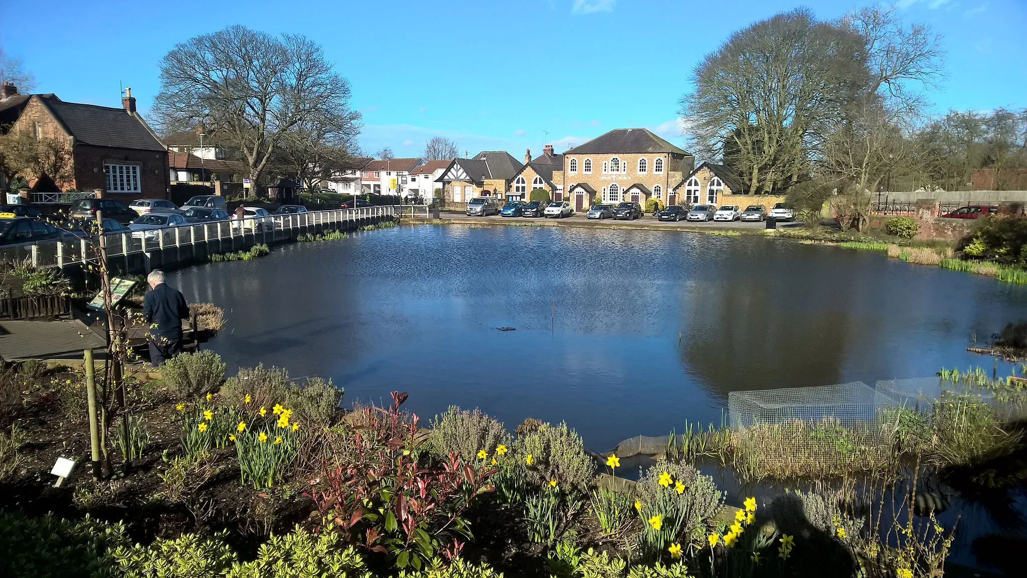
Set off on an exhilarating 60-kilometer gravel cycling route through the scenic landscapes of East Yorkshire. With an ascent of 325 meters, this route takes cyclists through rugged terrains and awe-inspiring countryside. Noteworthy highlights include the historic charms of Brough, the picturesque tranquility of North Cave, the idyllic landscapes surrounding Sancton, the quaint village ambiance of Molescroft, and the elegant Victorian architecture of Swanland. Brough, located just 4 kilometers into the route, enthuses riders with its rich history and the beautifully preserved Grade II listed All Saints' Church. At the 13-kilometer mark, North Cave introduces cyclists to its stunning lake nature reserve, housing a variety of rare birds and offering picturesque paths. Sancton, positioned at the 22-kilometer point, provides an enchanting journey through unspoiled, rolling farmland and stunning vistas that showcase the beauty of rural England. At the 40-kilometer mark, Molescroft exemplifies a quintessential English village with charming cottages, a friendly local pub, and scenic farmland. Swanland, located at the final stretch of the journey, appreciates cyclists with its elegant Victorian houses and breathtaking woodland areas.
Highlights on the route
Cycling routes from North Ferriby:
Cycling routes nearby:
![Image of Brough](https://images.tarmacs.app/cycling-routes/covers/united-kingdom/east-yorkshire-and-northern-lincolnshire/brough-5.webp)
![Image of South Cave](https://images.tarmacs.app/cycling-routes/covers/united-kingdom/east-yorkshire-and-northern-lincolnshire/south-cave-5.webp)
![Image of Winterton](https://images.tarmacs.app/cycling-routes/covers/united-kingdom/east-yorkshire-and-northern-lincolnshire/winterton-4.webp)
![Image of Walkington](https://images.tarmacs.app/cycling-routes/covers/united-kingdom/east-yorkshire-and-northern-lincolnshire/walkington-5.webp)
![Image of Kingston upon Hull](https://images.tarmacs.app/cycling-routes/covers/united-kingdom/east-yorkshire-and-northern-lincolnshire/kingston-upon-hull-5.webp)
![Image of Goxhill](https://images.tarmacs.app/cycling-routes/covers/united-kingdom/east-yorkshire-and-northern-lincolnshire/goxhill-3.webp)
![Image of Dunswell](https://images.tarmacs.app/cycling-routes/covers/united-kingdom/east-yorkshire-and-northern-lincolnshire/dunswell-5.webp)
![Image of Newport](https://images.tarmacs.app/cycling-routes/covers/united-kingdom/east-yorkshire-and-northern-lincolnshire/newport-5.webp)
![Image of Burton upon Stather](https://images.tarmacs.app/cycling-routes/covers/united-kingdom/east-yorkshire-and-northern-lincolnshire/burton-upon-stather-3.webp)