Burringham and Goole Circular Route
A road cycling route starting from Winterton
Explore the countryside around Burringham and Goole on this circular cycling route
Map
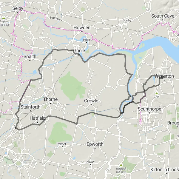
Embark on a scenic journey through the beautiful countryside around Burringham and Goole with this circular cycling route. Covering a total distance of 114 kilometers and an ascent of 192 meters, this route offers a moderate level of difficulty suitable for well-trained amateur cyclists. Experience the tranquility and natural beauty of the East Yorkshire and Northern Lincolnshire region.
road
114 km
192 m
Tough
Route profile
Highlights on the route
0 km
0 km
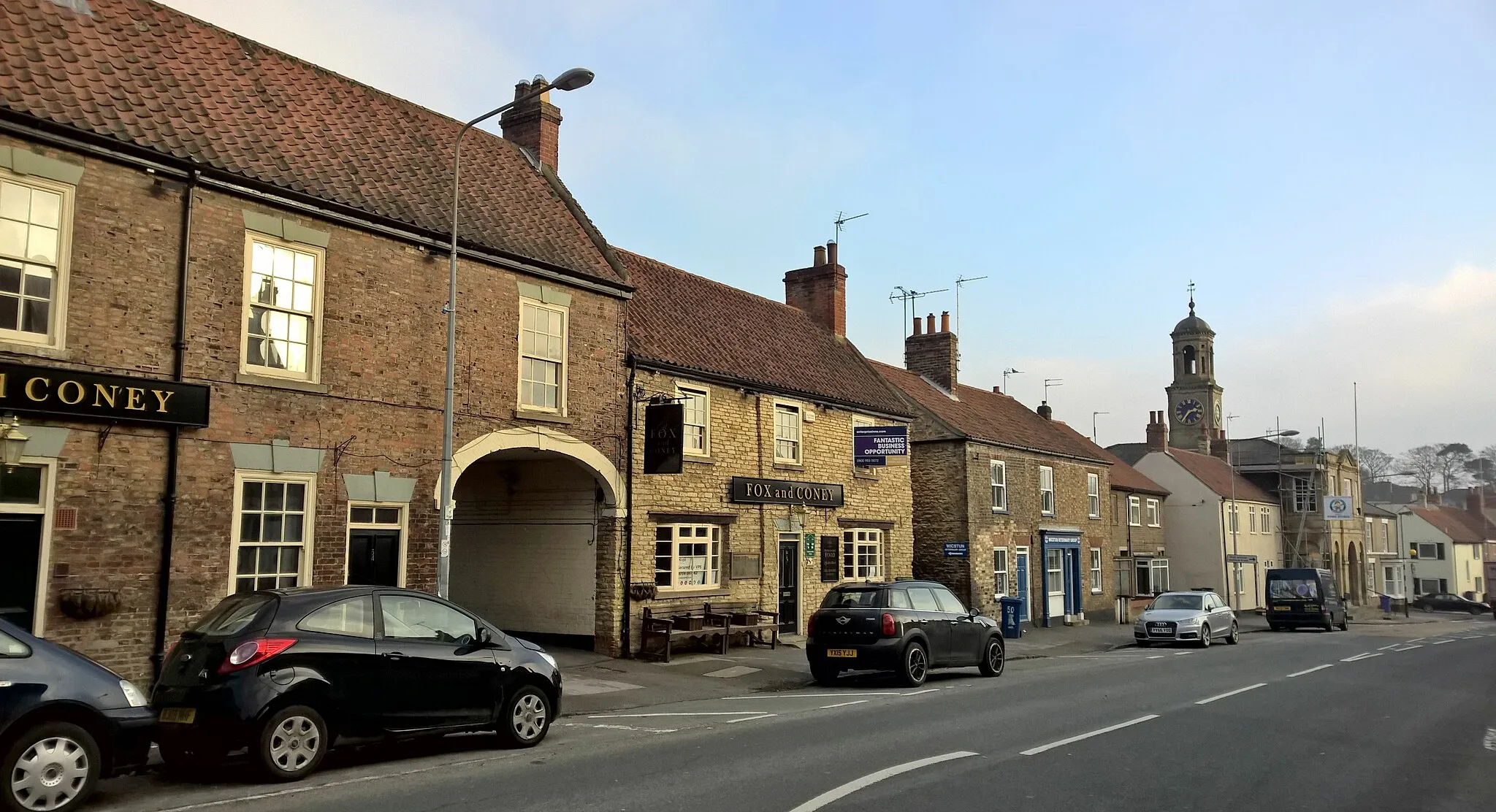
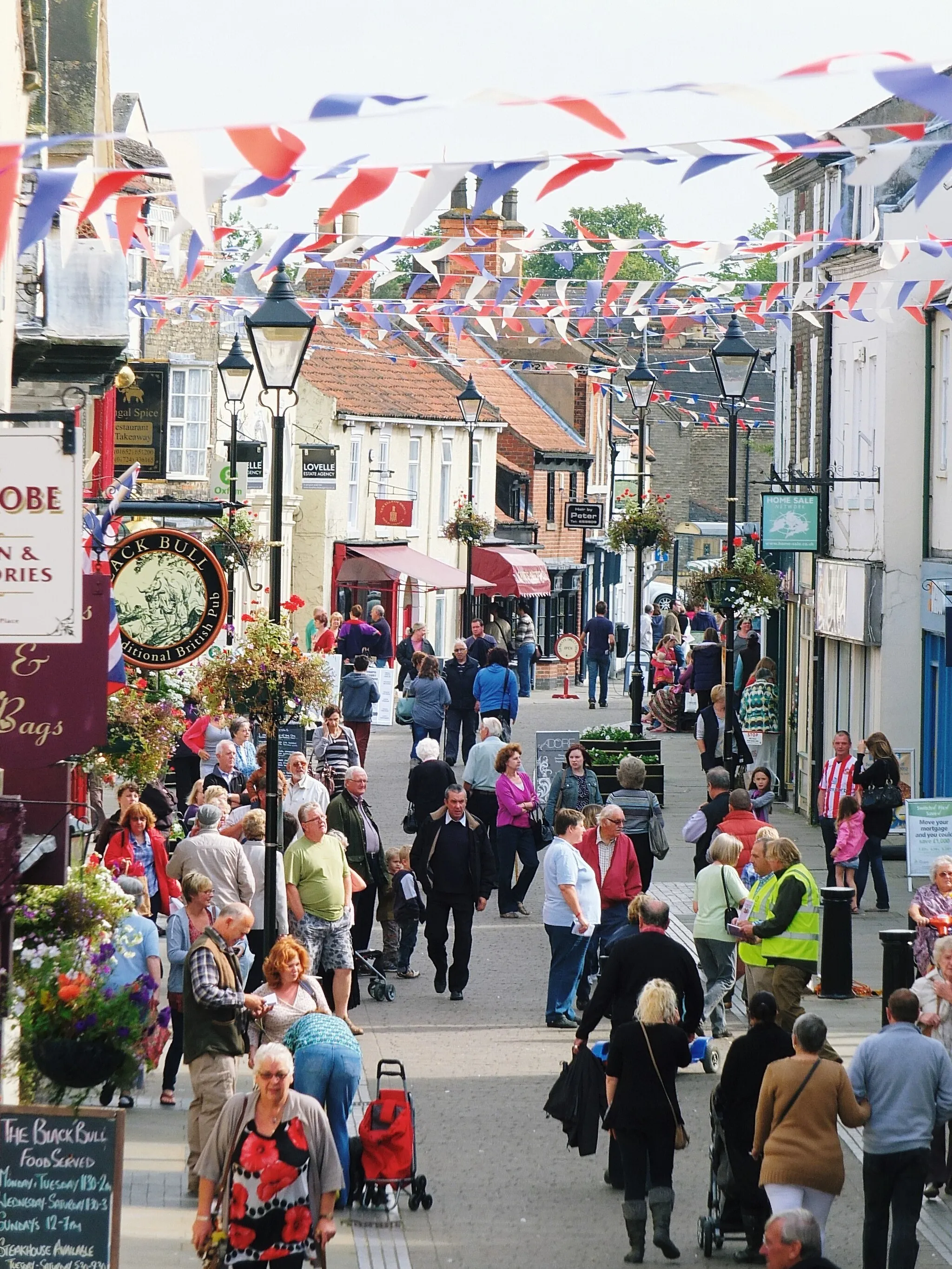
Start: Winterton City centerWinterton: Scenic English countryside and proximity to the iconic Humber Bridge.
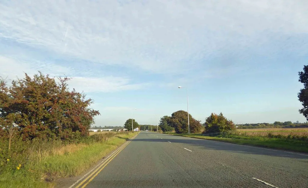
Winterton is a scenic locality situated in East Yorkshire and Northern Lincolnshire, United Kingdom. The area is blessed with charming English countryside, tranquil roads, and picturesque vistas, making it a delightful destination for cyclists. Winterton possesses a network of well-maintained cycling routes, perfect for road and gravel cyclists to explore at their leisure. Moreover, the famous Humber Bridge, the eighth-longest suspension bridge in the world, is within close distance, providing an iconic cycling backdrop. Overall, Winterton offers a peaceful and visually appealing cycling experience for riders of all levels.15 km
15 km
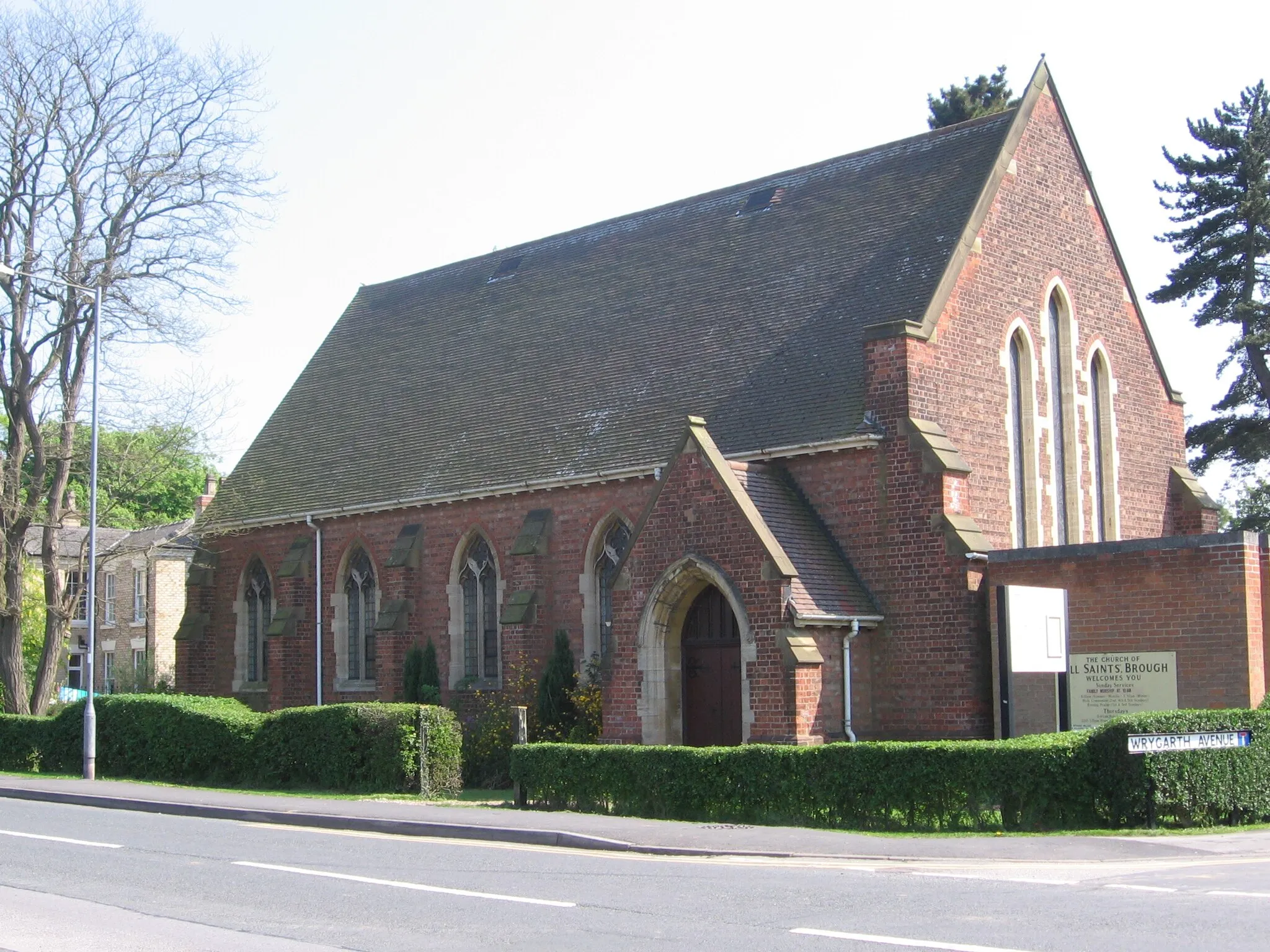
BurringhamVillageVisit the charming village of Burringham, known for its peaceful ambiance and scenic countryside.
40 km
40 km
EdenthorpeVillagePass through the village of Edenthorpe and admire its picturesque surroundings.
47 km
47 km
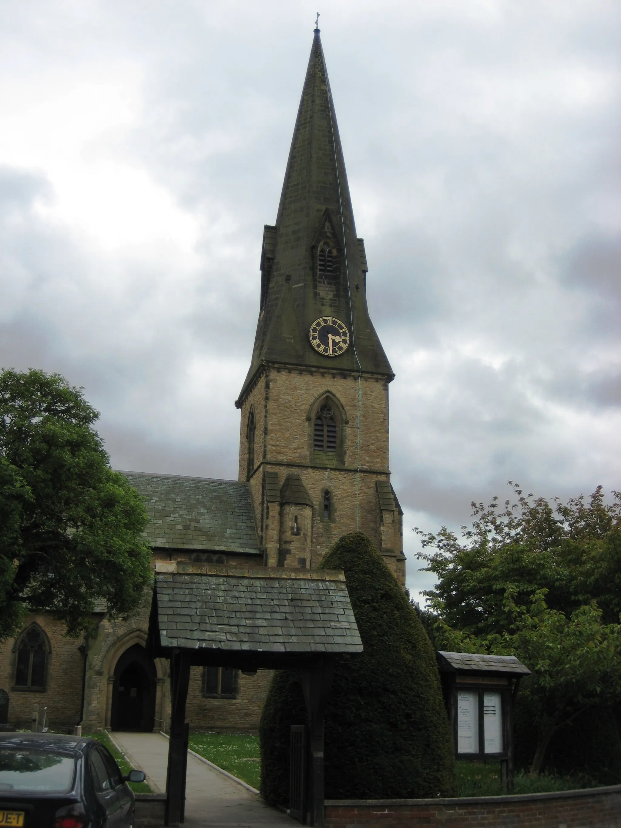
Kirk BramwithVillageExplore Kirk Bramwith, a quaint village with historic architecture and a charming atmosphere.
70 km
70 km
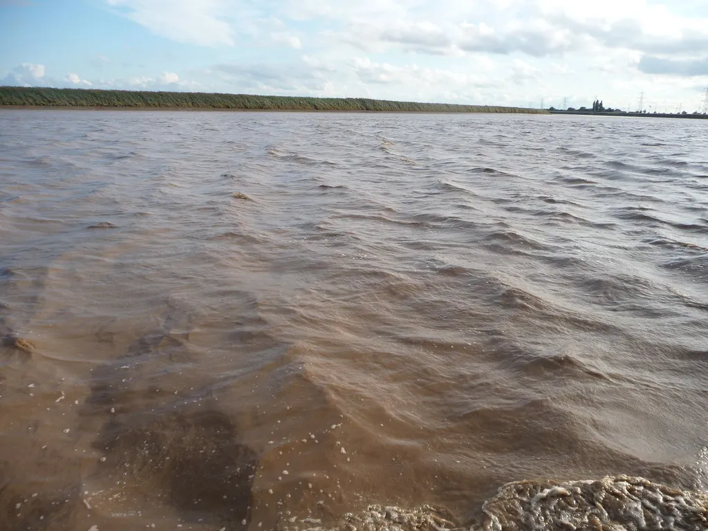
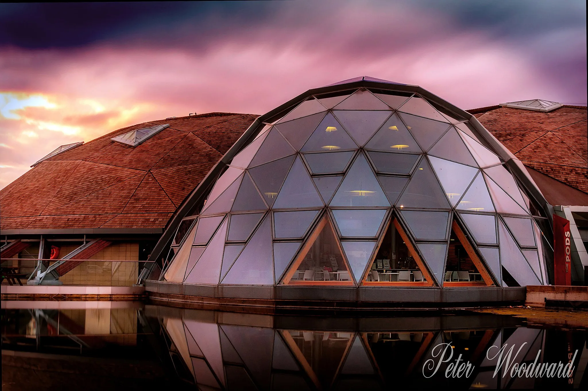
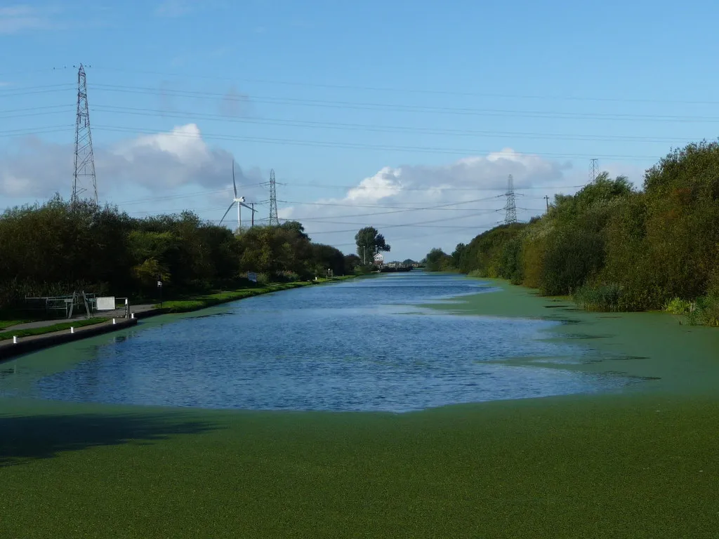
GooleTownCycle through Goole, a thriving market town with an impressive waterfront.
92 km
92 km
AmcottsVillageDiscover the traditional village of Amcotts and enjoy its peaceful rural charm.
114 km
114 km
WintertonTownStart and end your ride in the picturesque town of Winterton, a hidden gem of East Yorkshire.
114 km
114 km
Finish: Winterton City centerWinterton: Scenic English countryside and proximity to the iconic Humber Bridge.
Cycling routes from Winterton:
The Scunthorpe Gravel Adventure Winterton Loop via South Ferriby, Bonby, Brigg, and Appleby Scunthorpe and Winterton Circuit Burringham and Goole Circular Route The Land of Legends Humber Bridge and Beverley Loop Winterton and Beyond Bonby and Appleby Loop Scawby and Roxby Circular The Discoverer's Delight
Cycling routes nearby: