Mountsorrel to Nuneaton
A road cycling route starting from Mountsorrel
An exhilarating road cycling route from Mountsorrel to Nuneaton.
Map

This road cycling route starting near Mountsorrel takes you on a thrilling journey to Nuneaton. With a total distance of 97 kilometers and an ascent of 517 meters, it offers a challenging yet rewarding experience for well-trained amateurs. Along the way, you'll pass through charming towns like Leicester and Frolesworth, and enjoy the scenic beauty of places like The Demostaph, a highlight located at a distance of 12 kilometers from the start. With its diverse highlights and varying terrain, this route is perfect for cyclists seeking an adventure.
road
97 km
517 m
Tough
Route profile
Highlights on the route
0 km
0 km
Start: Mountsorrel Village centerMountsorrel: Diverse cycling paradise in the heart of England
Mountsorrel, situated in Leicestershire, Rutland and Northamptonshire, United Kingdom, is a cyclist's haven. The region offers a mix of climbs, descents, and rolling hills, providing a diverse range of cycling routes to suit all abilities. One popular spot for cyclists is Bradgate Park, where riders can explore its scenic paths and enjoy tranquil rides through its beautiful landscape. Mountsorrel itself has cycling-friendly infrastructure, with well-maintained roads and minimal traffic. Whether you're a road cyclist or a gravel enthusiast, Mountsorrel has plenty to offer for an enjoyable cycling experience.12 km
12 km
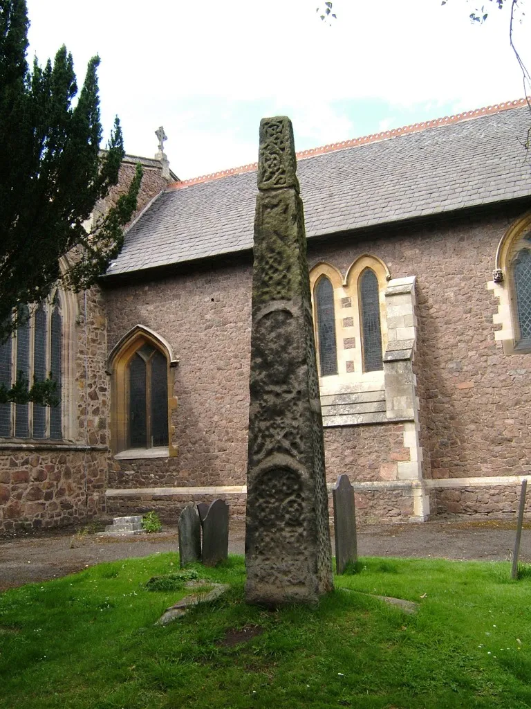
The DemostaphViewpointThe Demostaph, located at a distance of 12 kilometers from the start, is a must-visit highlight on this route. It offers stunning panoramic views and a chance to take a break and capture some unforgettable moments.
13 km
13 km
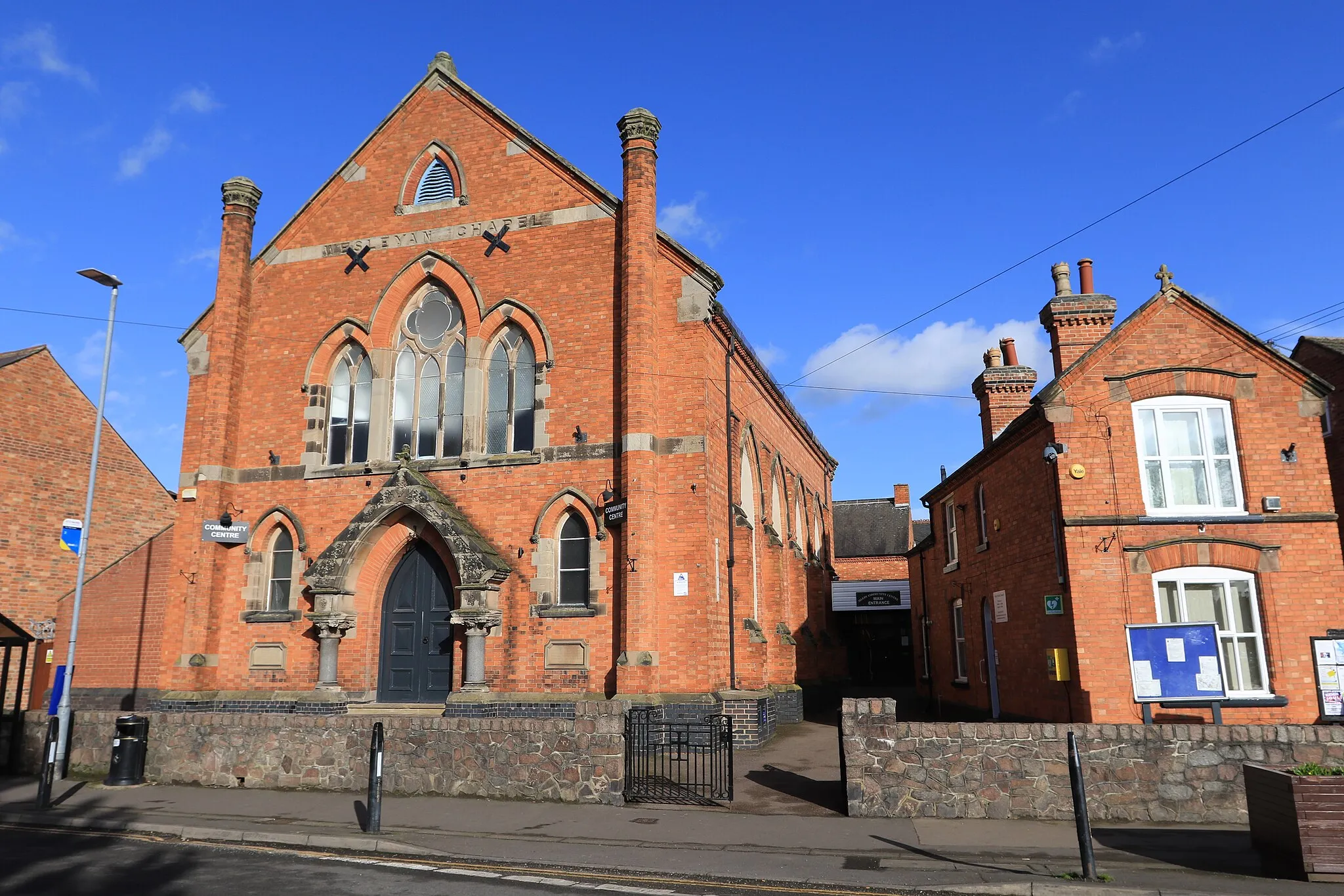
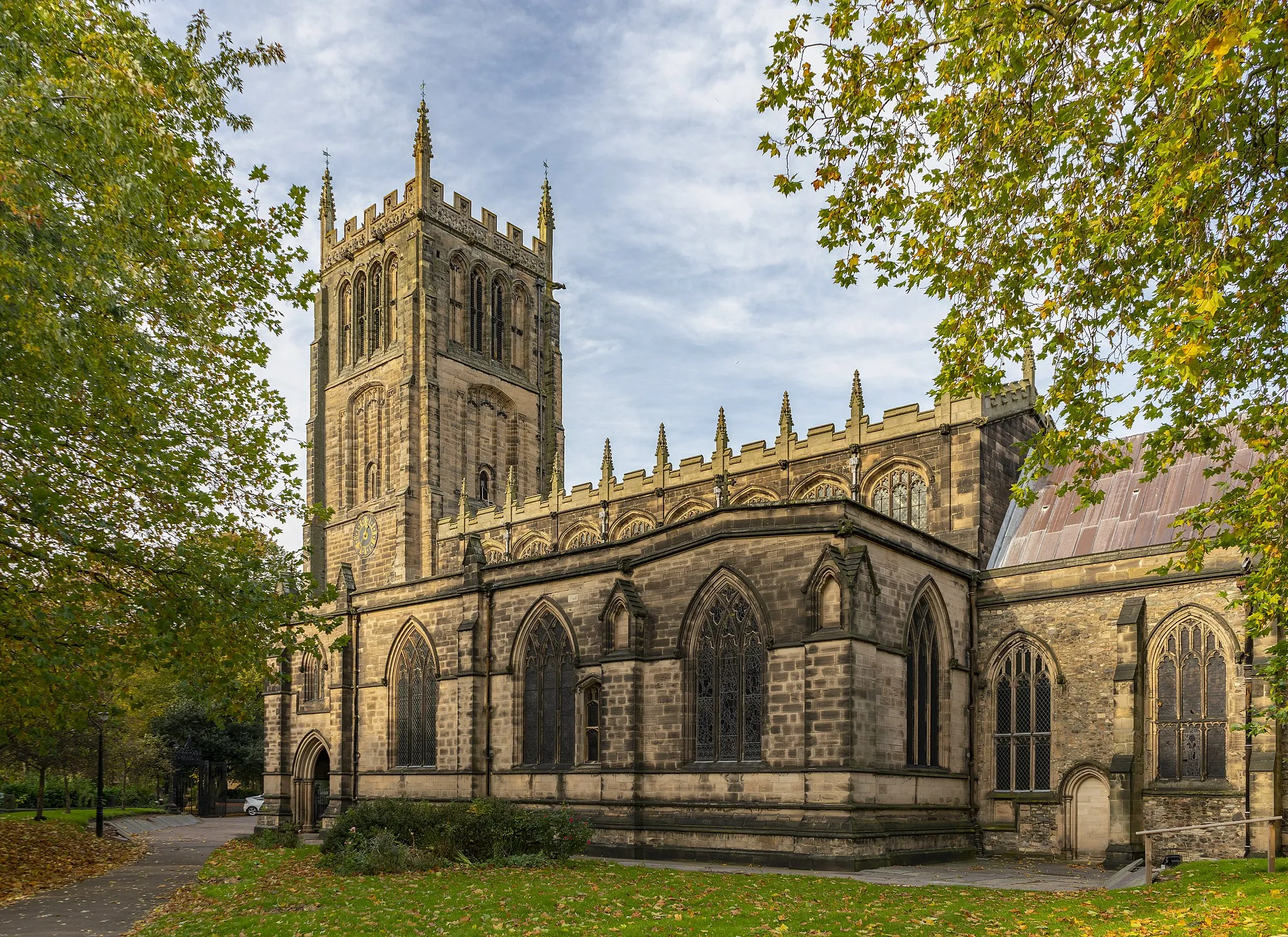
LeicesterCityLeicester, a highlight located at a distance of 13 kilometers from the start, is a historical city with a rich cycling culture. Explore its lively streets and discover its cycling-friendly atmosphere.
30 km
30 km
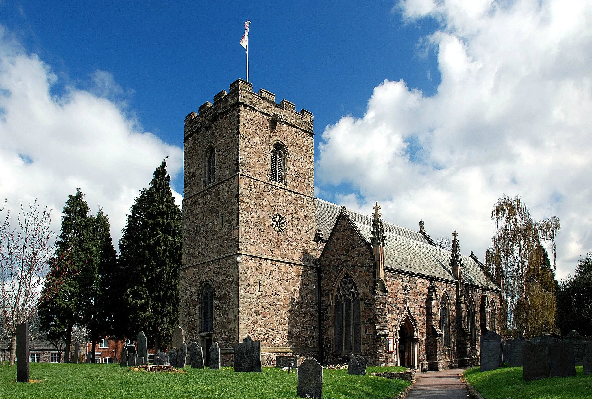
FrolesworthVillageFrolesworth, a highlight situated 30 kilometers from the start, is a picturesque village known for its tranquil surroundings. Take a moment to appreciate the scenic beauty of this charming place.
48 km
48 km
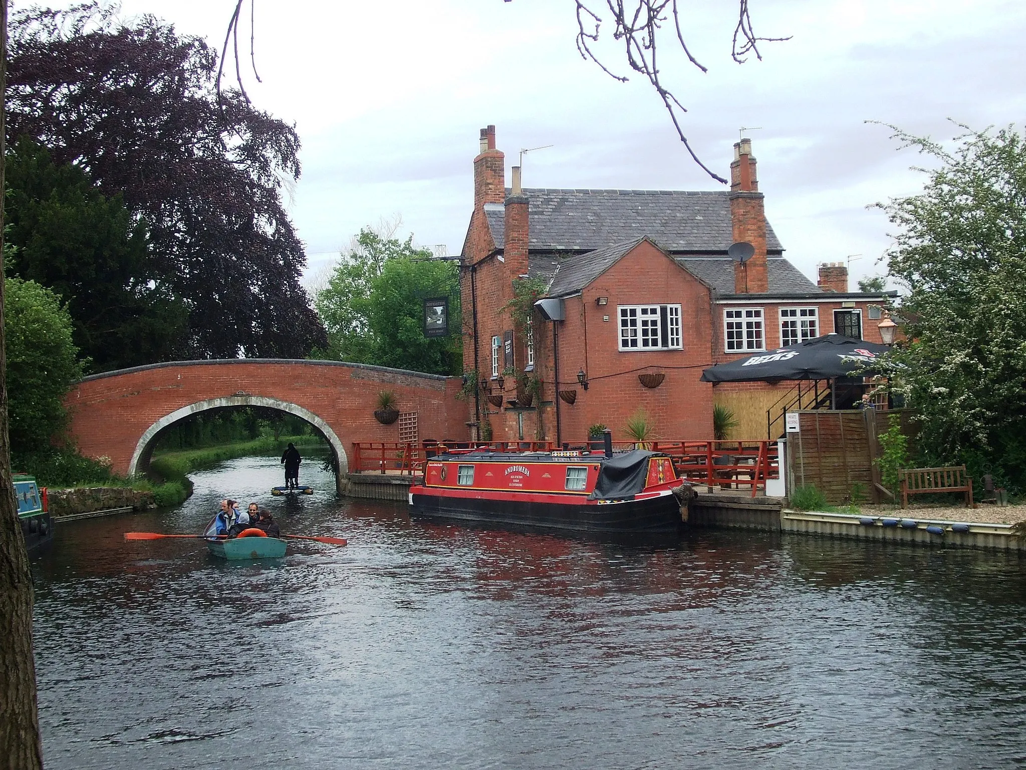
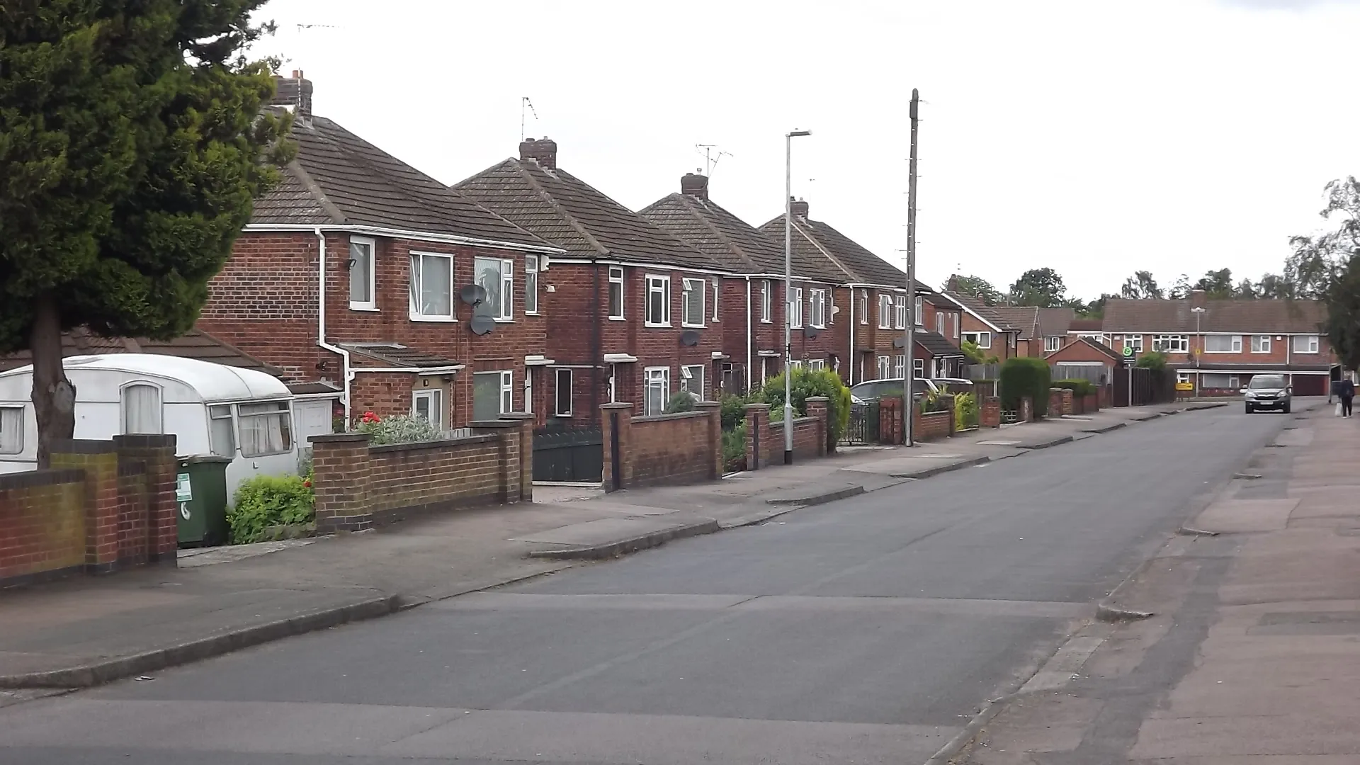
NuneatonTownNuneaton, the final destination on this route, is a vibrant town with plenty of amenities for cyclists. Explore its bustling streets and reward yourself with a well-deserved break after the exhilarating ride.
69 km
69 km
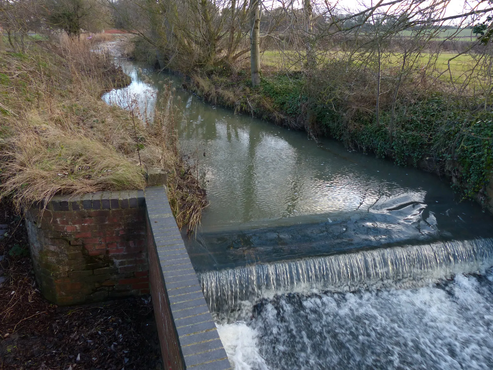
HeatherVillageHeather, a highlight located 69 kilometers from the start, is a quaint village with a lovely countryside feel. Ride through its scenic lanes and admire the rustic charm of this hidden gem.
78 km
78 km
ThringstoneVillageThringstone, situated at a distance of 78 kilometers from the start, is a stunning village surrounded by lush green landscapes. Take some time to explore its peaceful atmosphere and revel in the beauty of nature.
94 km
94 km
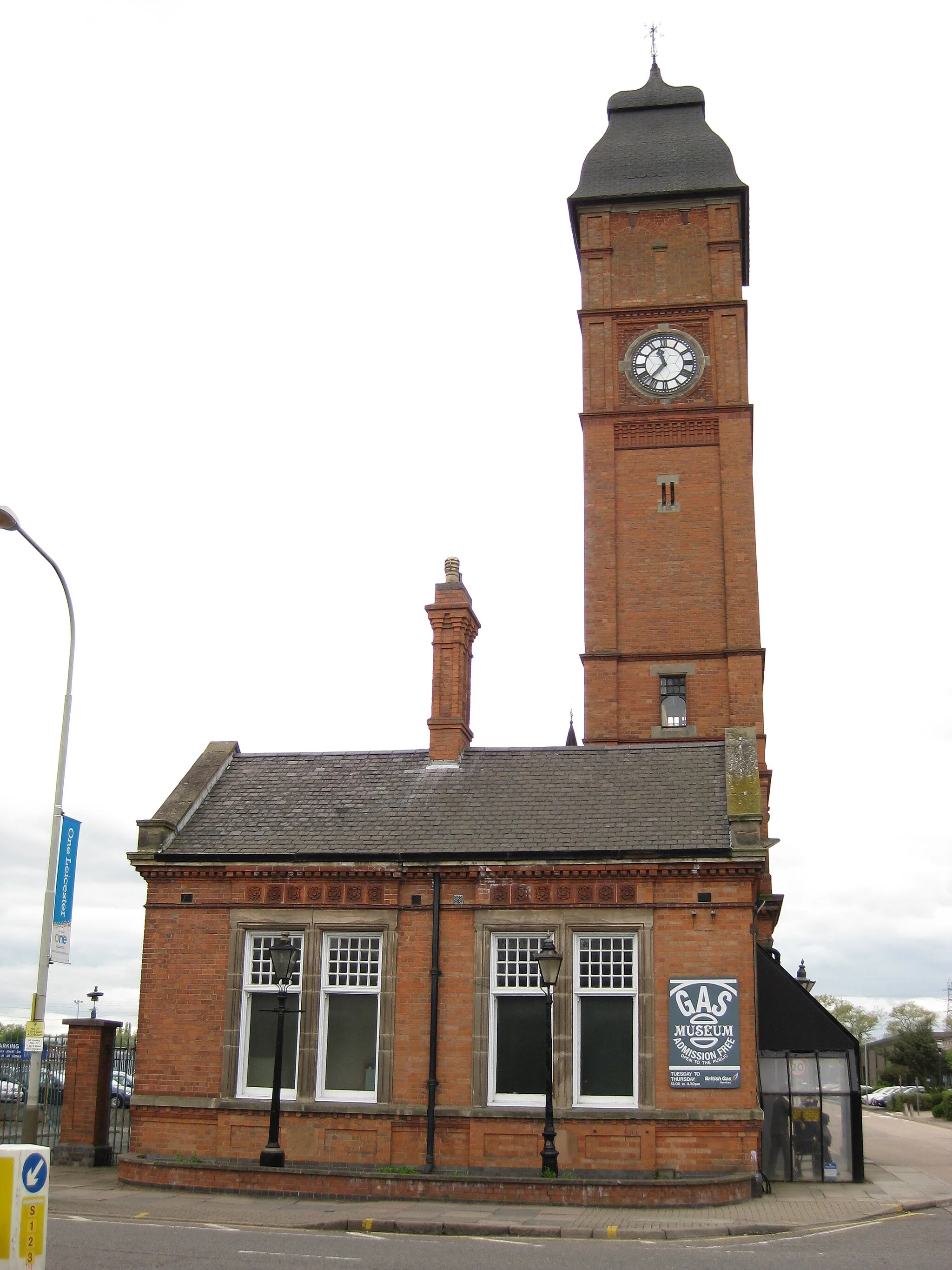
QuornVillageQuorn, located 94 kilometers from the start, is a picturesque village known for its cycling-friendly routes. Enjoy a pit stop here and replenish your energy at one of the charming cafes or pubs.
97 km
97 km
Finish: Mountsorrel Village centerMountsorrel: Diverse cycling paradise in the heart of England
Cycling routes from Mountsorrel:
Scenic Route Through Melton Mowbray Mountsorrel Gravel Adventure Off the Beaten Path: Gravel Adventure Mountsorrel Long Road Route Mountsorrel Gravel Route Discover the Heart of Leicestershire Mountsorrel Road Route Mountsorrel to Nuneaton Mountsorrel Short Gravel Route Mountsorrel Challenging Road Route
Cycling routes nearby: