Mountsorrel Challenging Road Route
A road cycling route starting from Mountsorrel
Take on this challenging road route near Mountsorrel to test your cycling skills.
Map
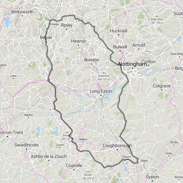
With a distance of 122 kilometers and a total ascent of 939 meters, this road route near Mountsorrel is designed for experienced cyclists seeking a challenging and rewarding adventure. The route passes through various notable spots, including Black Hill, a renowned hill climb, and Swarkestone, offering impressive views from its historic bridge. Other highlights include Belper, known for its charming village center, Ironville, which played a significant role in the Industrial Revolution, and Gotham, a picturesque village with an intriguing name. Prepare for intense cycling and breathtaking sceneries with this challenging route.
road
122 km
939 m
Savage
Route profile
Highlights on the route
0 km
0 km
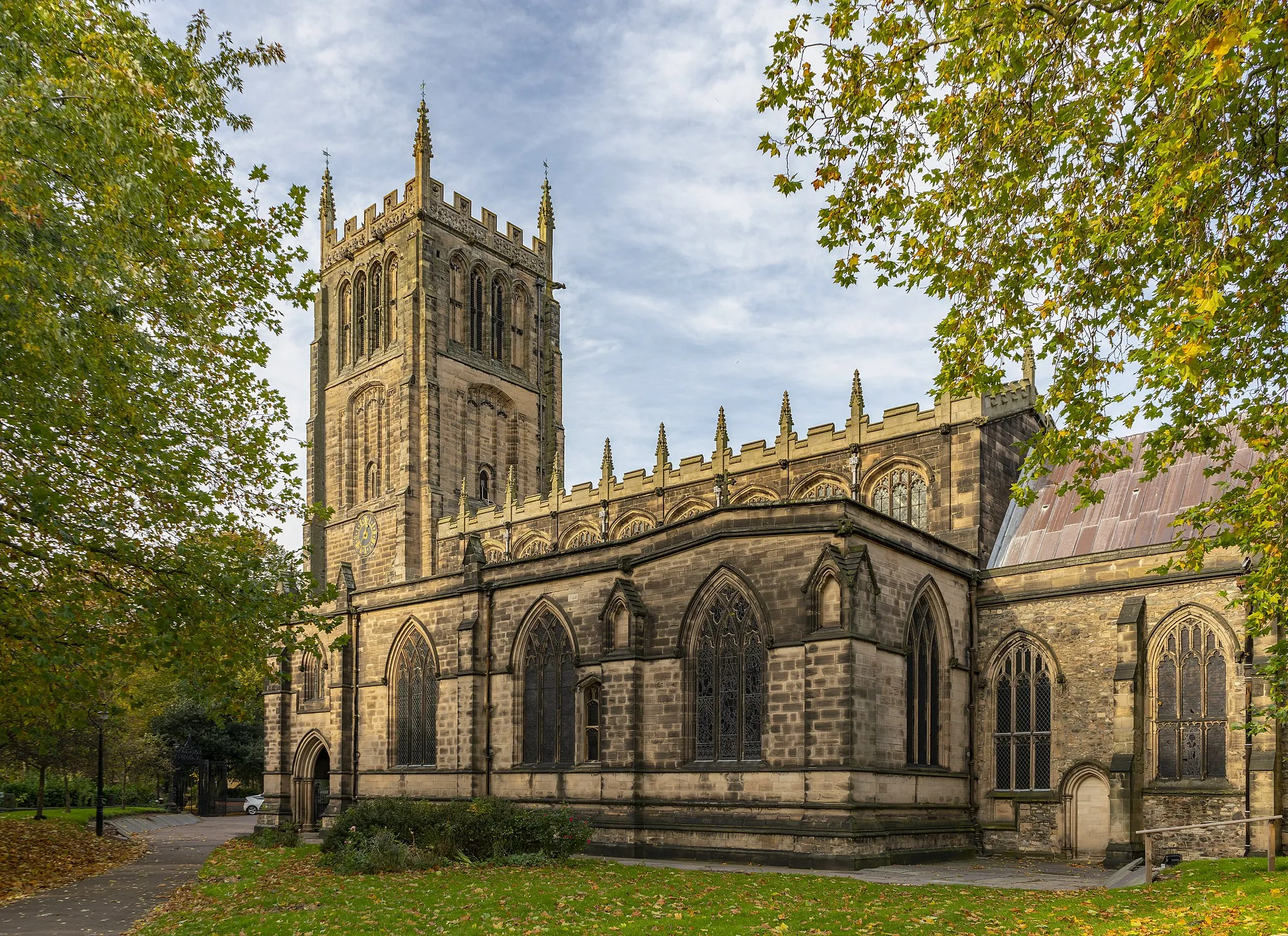
Start: Mountsorrel Village centerMountsorrel: Diverse cycling paradise in the heart of England
Mountsorrel, situated in Leicestershire, Rutland and Northamptonshire, United Kingdom, is a cyclist's haven. The region offers a mix of climbs, descents, and rolling hills, providing a diverse range of cycling routes to suit all abilities. One popular spot for cyclists is Bradgate Park, where riders can explore its scenic paths and enjoy tranquil rides through its beautiful landscape. Mountsorrel itself has cycling-friendly infrastructure, with well-maintained roads and minimal traffic. Whether you're a road cyclist or a gravel enthusiast, Mountsorrel has plenty to offer for an enjoyable cycling experience.8 km
8 km
Black Hill220 mPeakBlack Hill is a must-visit for cyclists seeking a challenging hill climb and panoramic views.
21 km
21 km
viewing pointViewpointEnjoy breathtaking views from the viewing point along the route, offering a panoramic outlook over the surrounding landscapes.
33 km
33 km
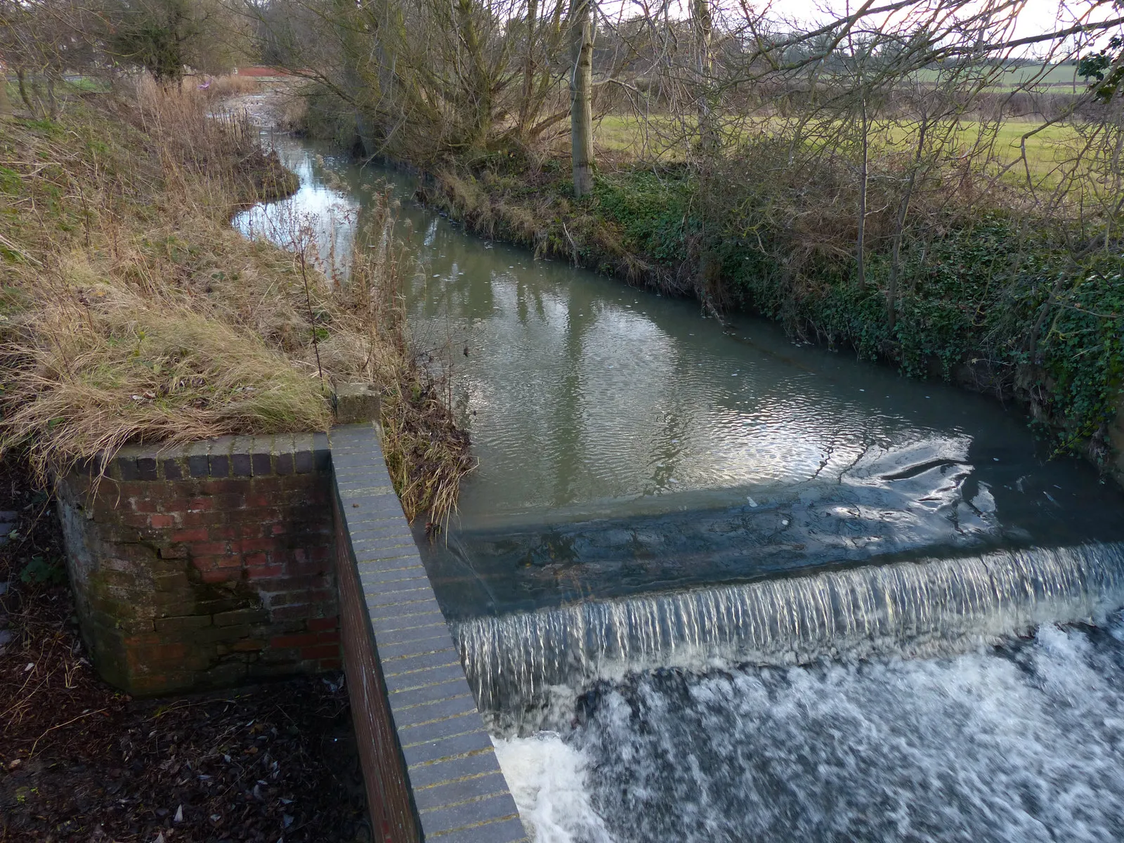
SwarkestoneVillageSwarkestone boasts a historic bridge and stunning vistas of the countryside.
54 km
54 km
BelperTownBelper is a vibrant town with a charming village center, boasting a rich history and picturesque streets.
70 km
70 km
IronvilleVillageIronville is an important industrial heritage site and offers fascinating traces of the region's mining history.
79 km
79 km
GreasleyVillageGreasley is a picturesque village surrounded by green meadows and gentle hills.
86 km
86 km
StrelleyVillageStrelley is a tranquil village boasting beautiful countryside setting and several historic buildings.
102 km
102 km
GothamVillageGotham is a picturesque village with a fascinating name derived from Anglo-Saxon 'goat-home'.
112 km
112 km
Stanford on SoarVillageStanford on Soar features enchanting rural landscapes and a charming village character.
122 km
122 km
Finish: Mountsorrel Village centerMountsorrel: Diverse cycling paradise in the heart of England
Cycling routes from Mountsorrel:
Scenic Route Through Melton Mowbray Mountsorrel Gravel Adventure Off the Beaten Path: Gravel Adventure Mountsorrel Long Road Route Mountsorrel Gravel Route Discover the Heart of Leicestershire Mountsorrel Road Route Mountsorrel to Nuneaton Mountsorrel Short Gravel Route Mountsorrel Challenging Road Route
Cycling routes nearby: