Ashington to Ulgham Loop
A road cycling route starting from Ashington
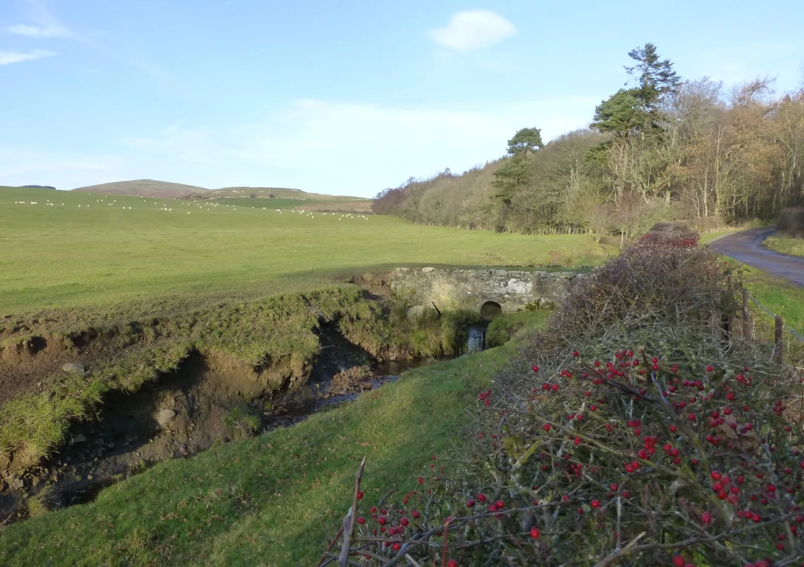
Experience the stunning views of Northumberland countryside on this challenging road cycling loop
Map
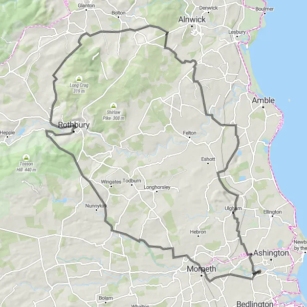
The Ashington to Ulgham Loop is a challenging road cycling route that takes you through the beautiful Northumberland countryside. With a distance of 102 kilometers and an ascent of 1016 meters, this route is sure to test your endurance and strength. The highlights of this route include Haw Hill, Morpeth, Netherwitton, Garleigh Hill, Whittingham, Cloudy Crags, Shilbottle, and Acklington. These spots offer picturesque views and interesting historical landmarks. Overall, this route is perfect for experienced cyclists who are looking for a challenging and rewarding ride through the stunning landscapes of Northumberland.
road
102 km
1016 m
Tough
Route profile
Highlights on the route
0 km
0 km
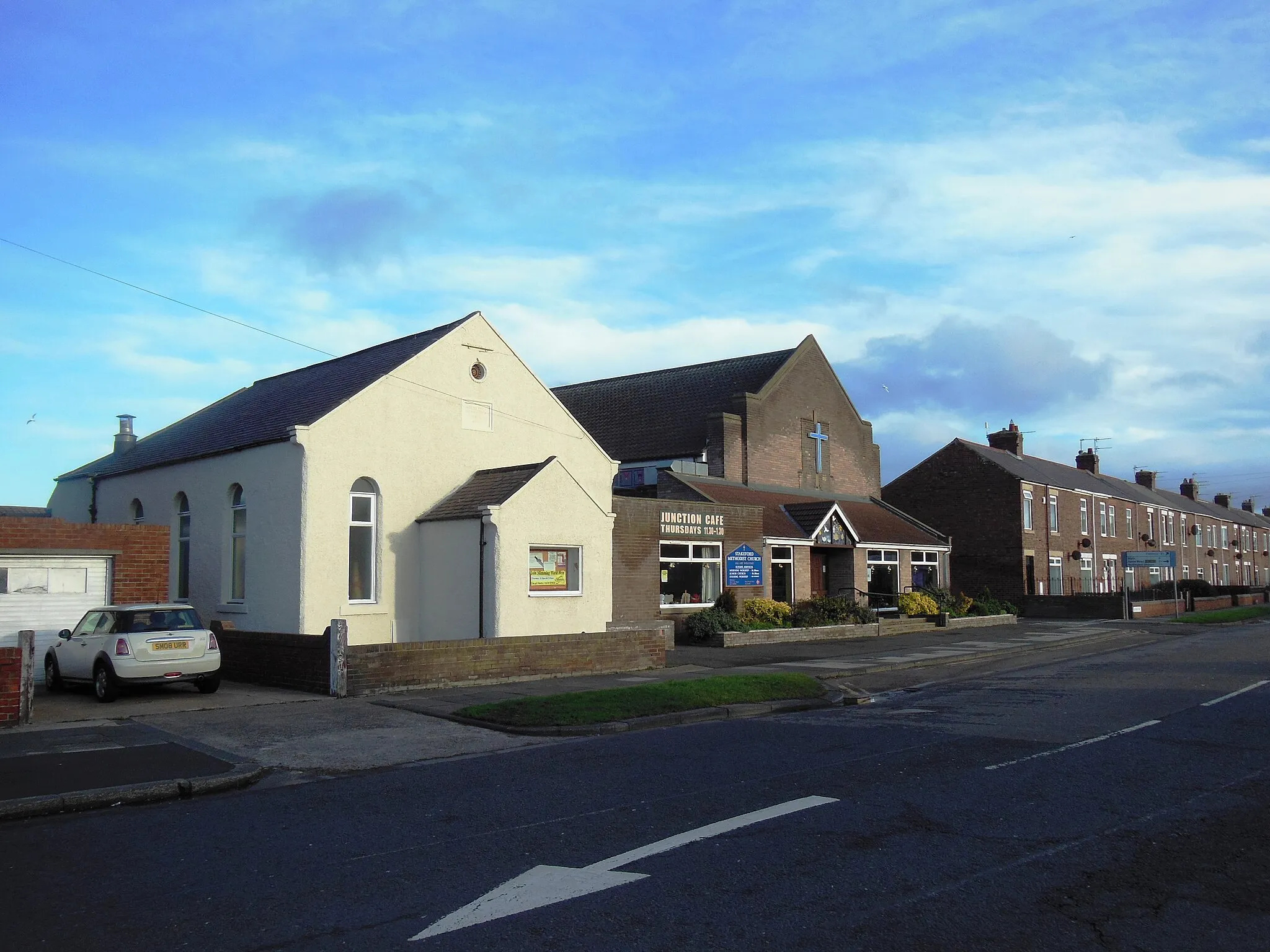
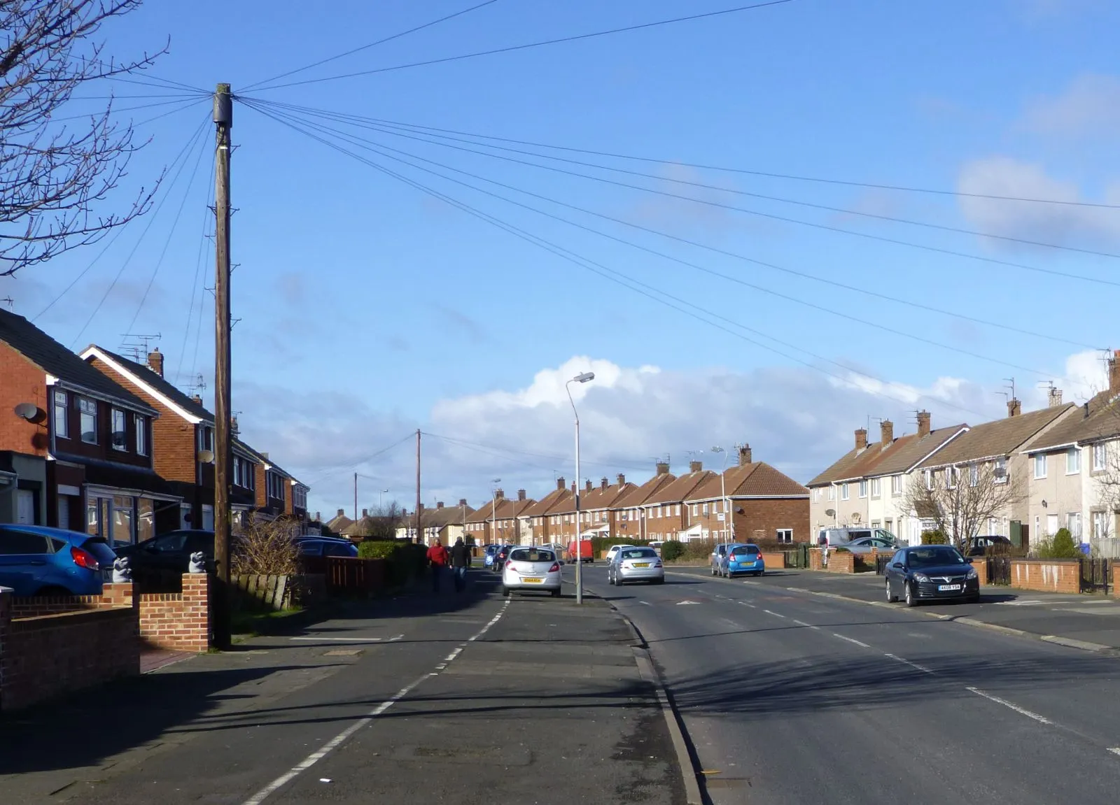
Start: Stakeford Village centerAshington: Coastal Scenery and Challenging Rides
Ashington is a locality in Northumberland and Tyne and Wear, United Kingdom. For road cyclists, Ashington offers a network of roads that provide a mix of flat and rolling routes suitable for all skill levels. The area boasts beautiful coastal scenery and countryside landscapes, making it an attractive destination for cyclists. Cyclists can explore the iconic Otterburn Ranges, a military training area with challenging climbs and rewarding descents. Overall, Ashington is a recommended locality for road cyclists who seek scenic rides with varying terrains.7 km
7 km
Haw HillViewpointHaw Hill offers panoramic views of the surrounding countryside.
8 km
8 km
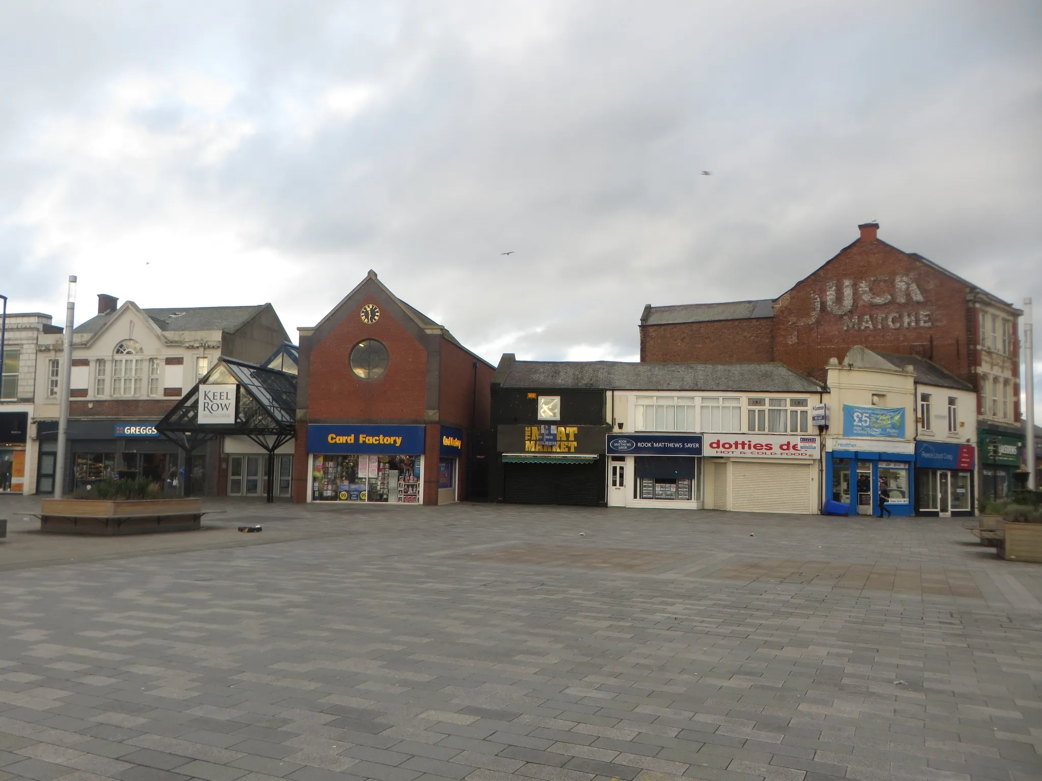
MorpethTownMorpeth, a historic market town, is worth exploring with its charming streets and architecture.
21 km
21 km
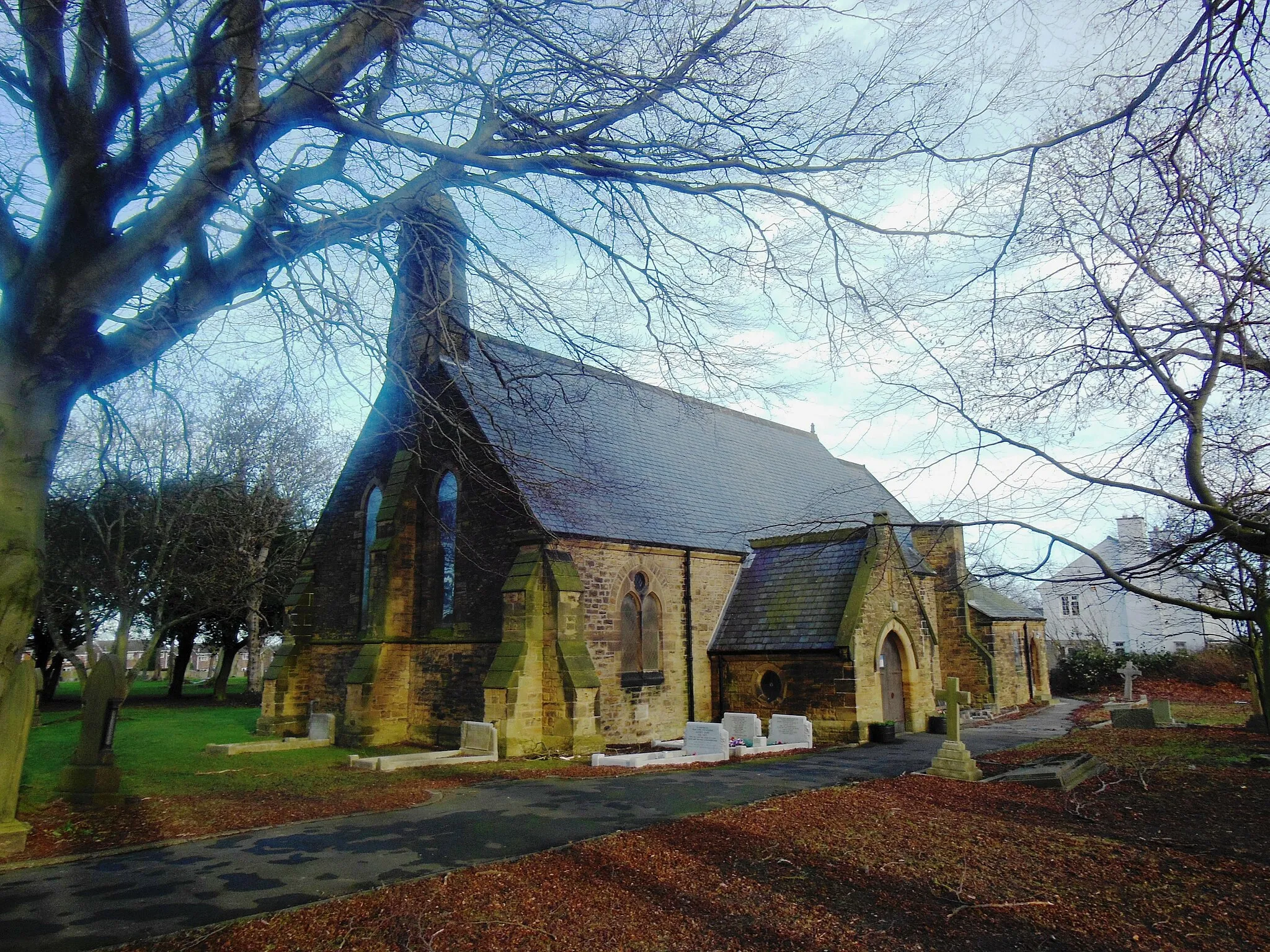
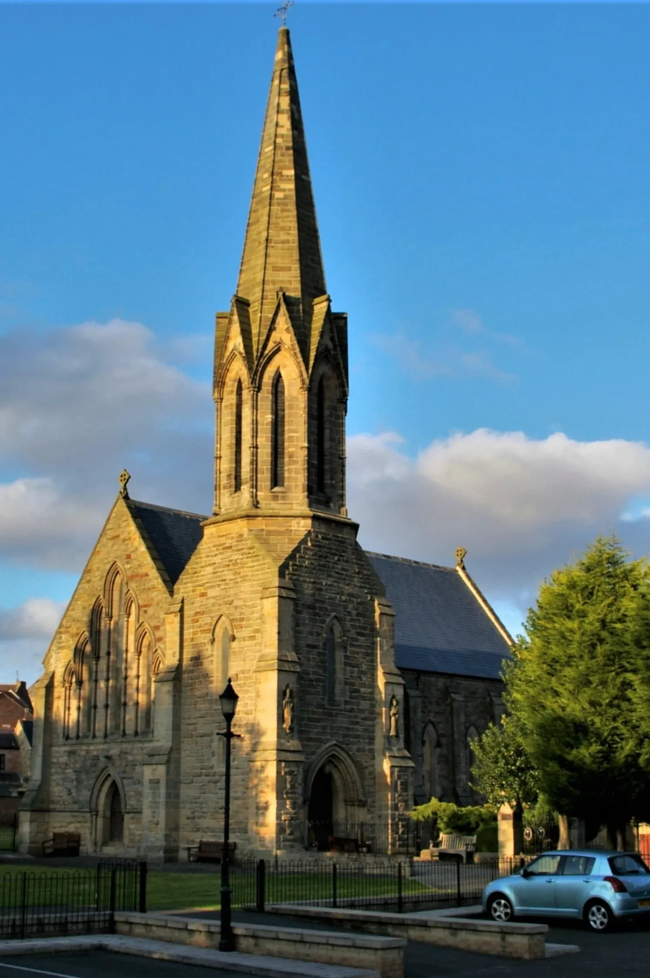
NetherwittonHamletNetherwitton is a picturesque village with a beautiful church.
30 km
30 km
Garleigh Hill268 mPeakGarleigh Hill provides breathtaking views along the route.
54 km
54 km
WhittinghamVillageWhittingham is a quaint village with stunning scenery.
62 km
62 km
Cloudy Crags250 mPeakCloudy Crags is a landmark rock formation that offers a unique photo opportunity.
70 km
70 km
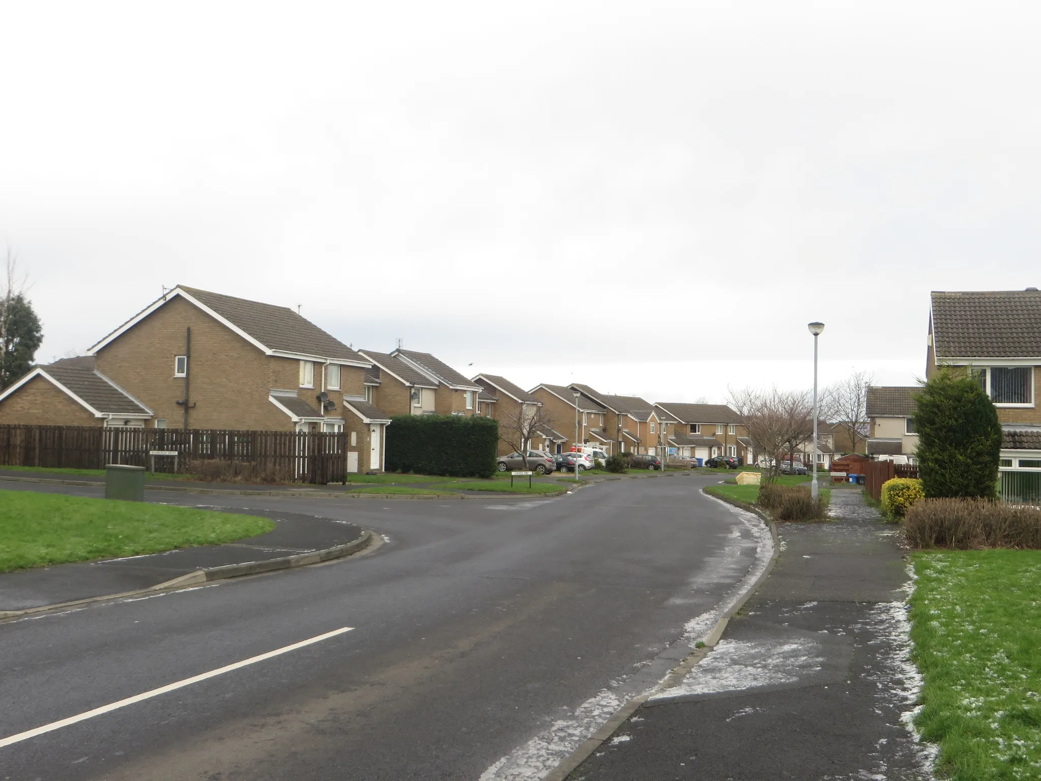
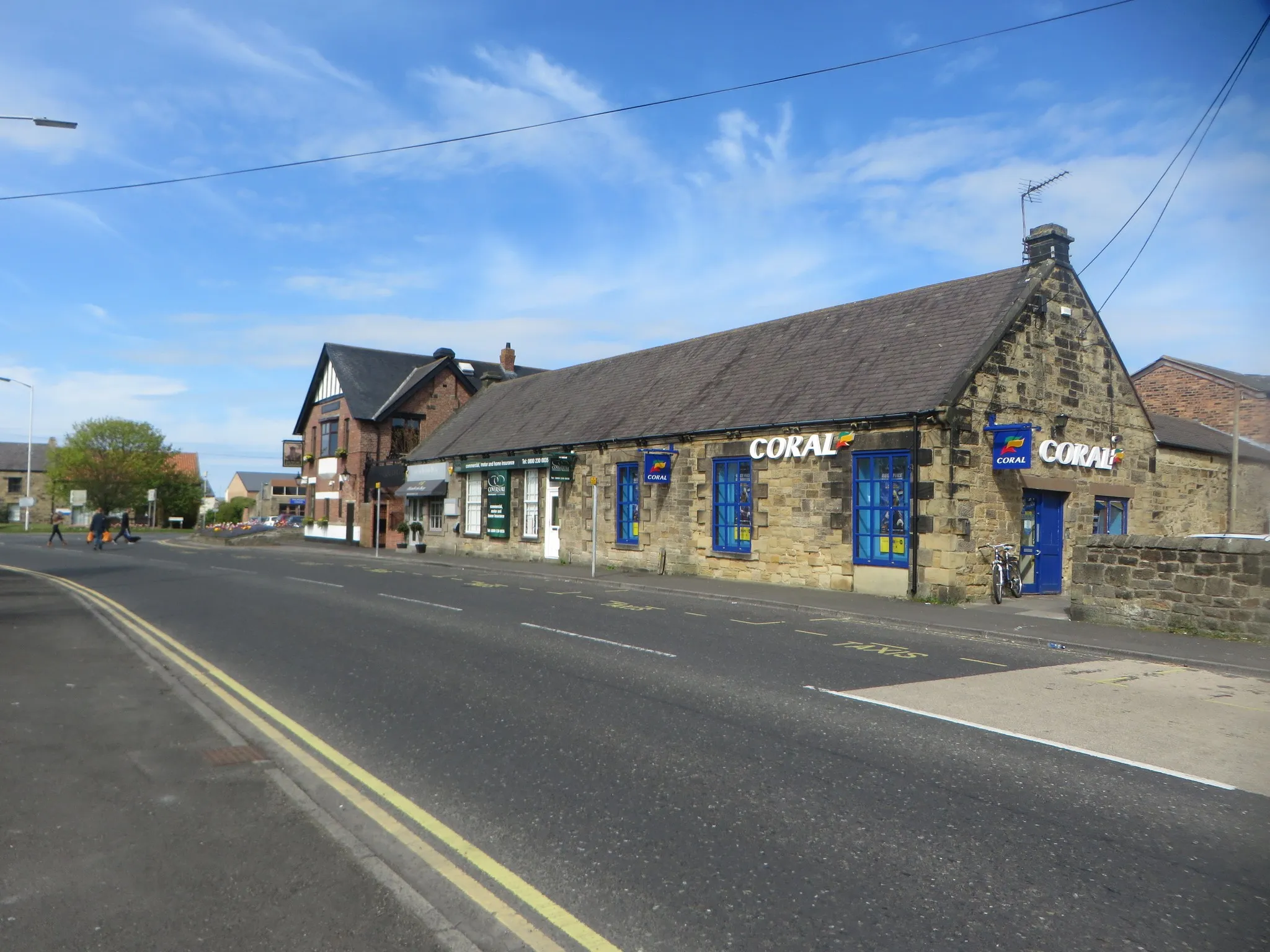
ShilbottleVillageShilbottle is a charming village with historic buildings and a friendly community.
80 km
80 km
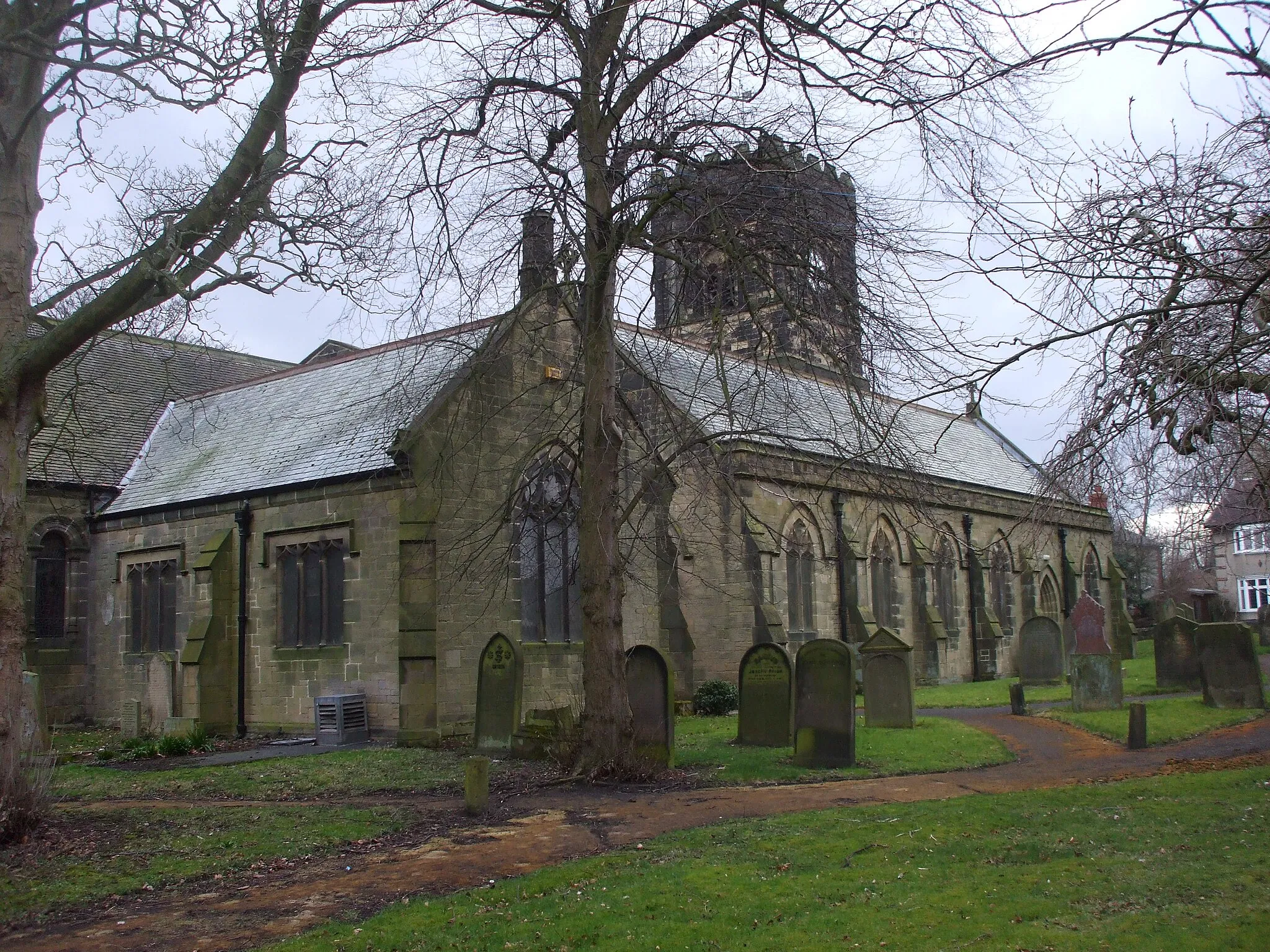
AcklingtonVillageAcklington features beautiful countryside scenery and a peaceful atmosphere.
93 km
93 km
UlghamVillageUlgham offers a tranquil escape with its rolling hills and picturesque landscape.
102 km
102 km
Finish: Stakeford Village centerAshington: Coastal Scenery and Challenging Rides
Cycling routes from Ashington:
Ashington to Ellington Blyth and Bebside Gravel Loop Ashington to Ulgham Loop Northumberlandia and Colliers Hill Road Ride Northumberland Countryside Road Loop Ashington to Woodhorn Gravel Route Choppington to Tranwell Scenic Route Coast and Castles Gravel Route Jarrow to Ashington Gravel Adventure Northumbrian Landscapes Road Ride
Cycling routes nearby: