Choppington to Tranwell Scenic Route
A road cycling route starting from Ashington
Immerse yourself in the scenic beauty of Northumberland on this road cycling route
Map
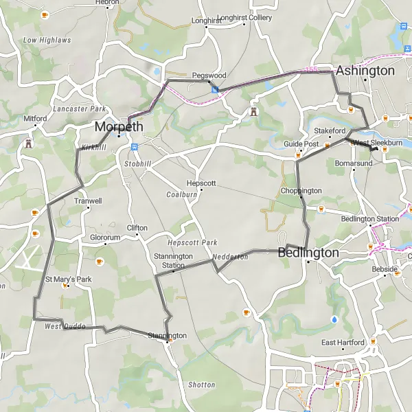
The Choppington to Tranwell Scenic Route is a 38-kilometer road cycling route that takes you through the picturesque landscapes of Northumberland. With an ascent of 205 meters, this route offers a moderate cycling challenge. The highlights of this route include Choppington, Tranwell, Colliers Hill, and Ashington. Choppington is a small village with a close-knit community, while Tranwell is known for its elegant country estate. Colliers Hill provides scenic views across the surrounding countryside. Overall, this route offers a mix of charming villages, stunning vistas, and an enjoyable cycling experience.
road
38 km
205 m
Chill
Route profile
Highlights on the route
0 km
0 km
Start: West Sleekburn Village centerAshington: Coastal Scenery and Challenging Rides
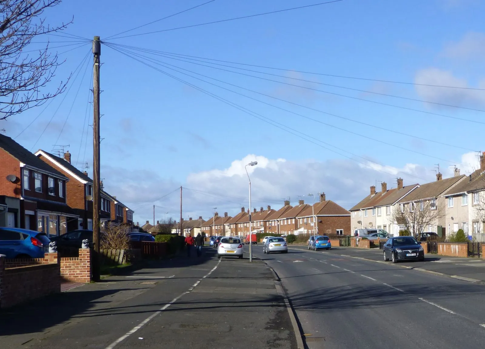
Ashington is a locality in Northumberland and Tyne and Wear, United Kingdom. For road cyclists, Ashington offers a network of roads that provide a mix of flat and rolling routes suitable for all skill levels. The area boasts beautiful coastal scenery and countryside landscapes, making it an attractive destination for cyclists. Cyclists can explore the iconic Otterburn Ranges, a military training area with challenging climbs and rewarding descents. Overall, Ashington is a recommended locality for road cyclists who seek scenic rides with varying terrains.4 km
4 km
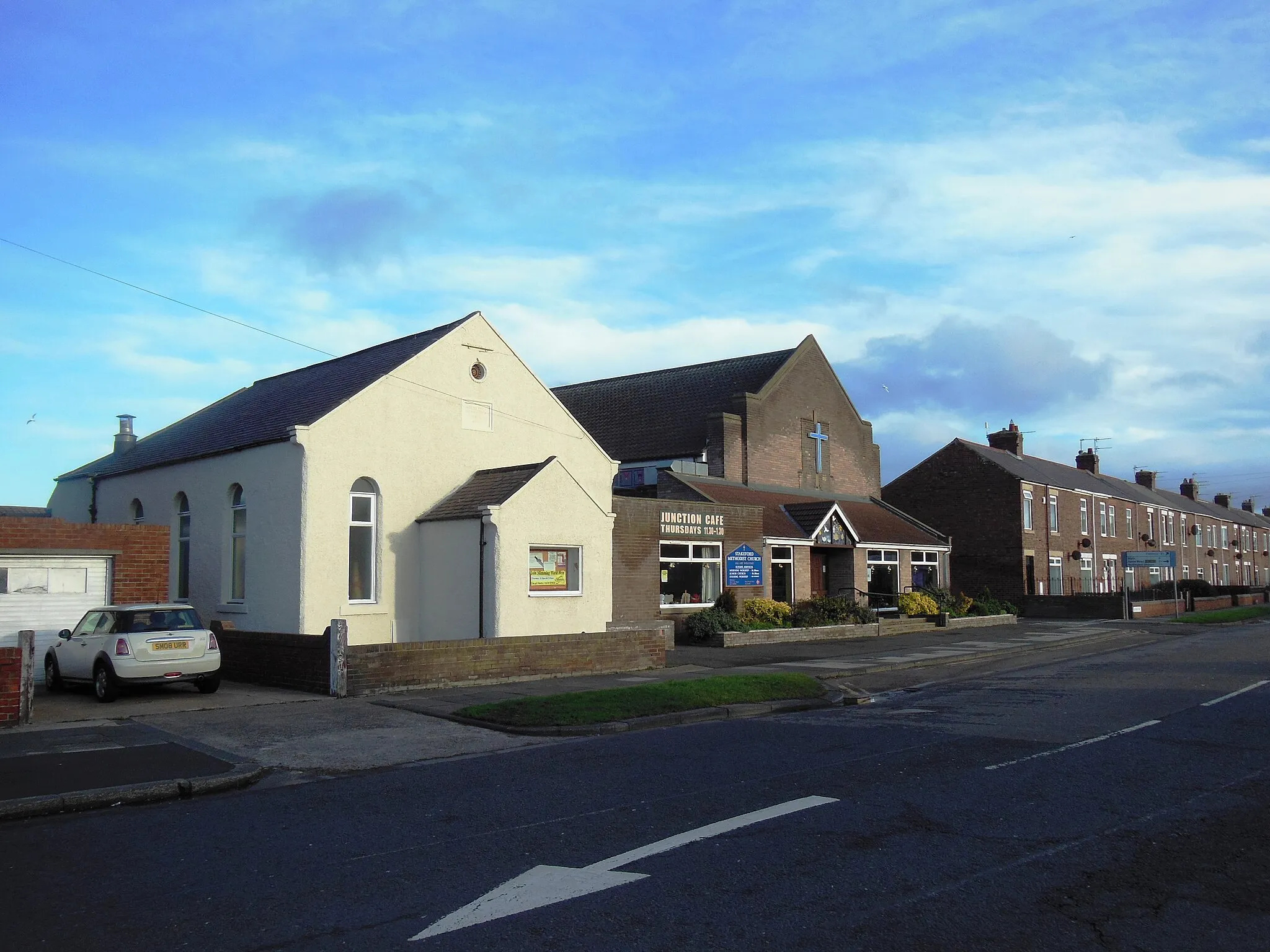
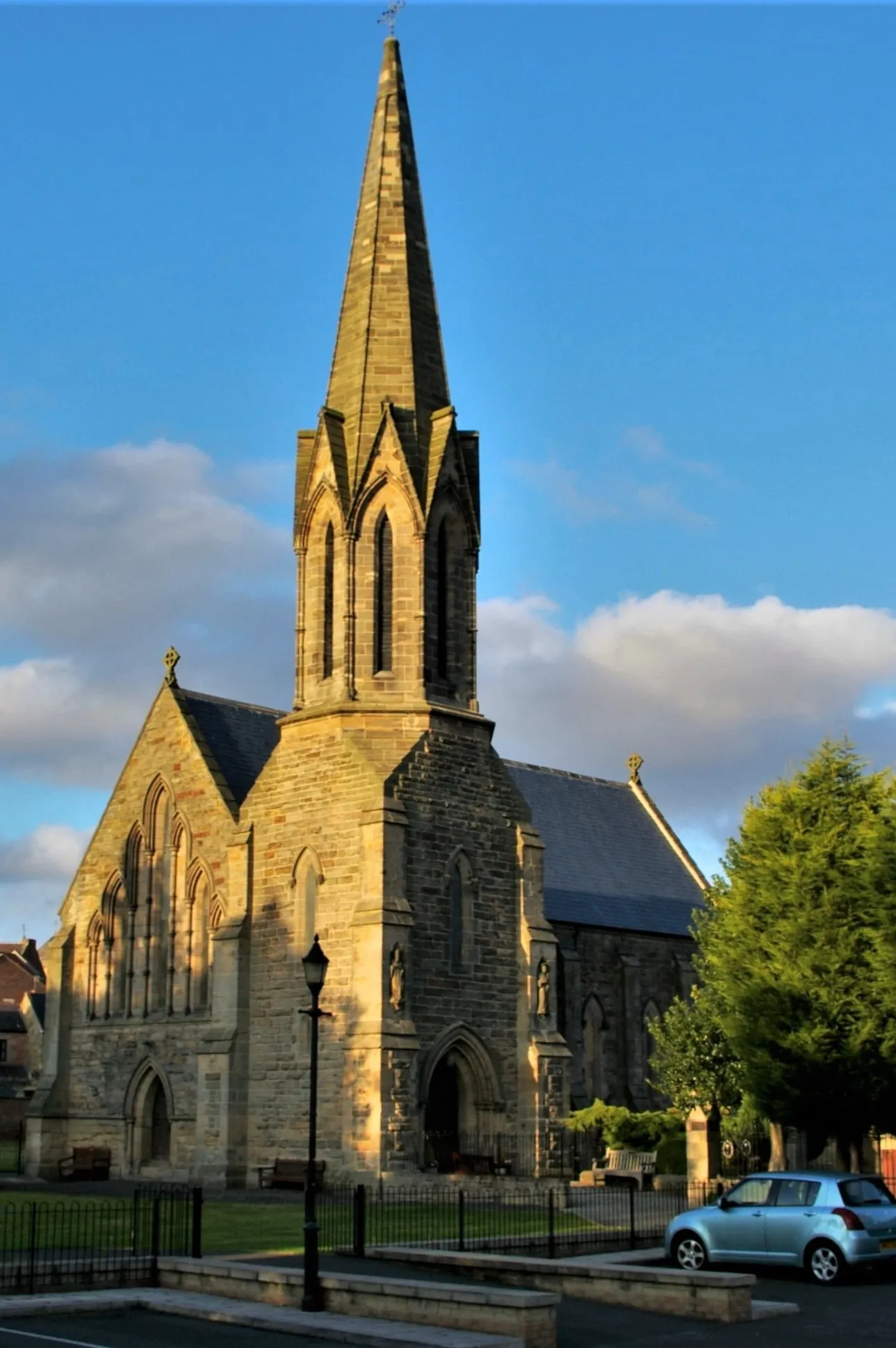
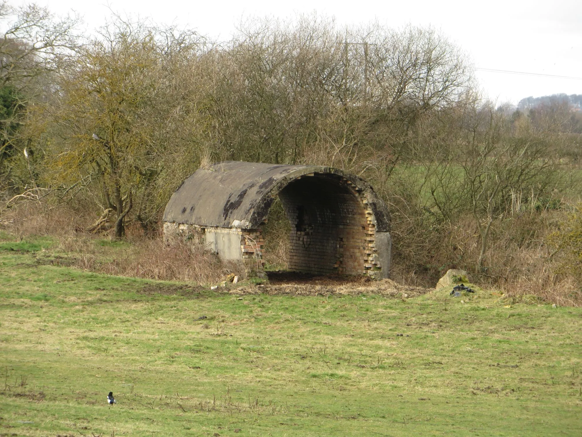
ChoppingtonVillageChoppington is a small village with friendly residents and a peaceful atmosphere.
22 km
22 km
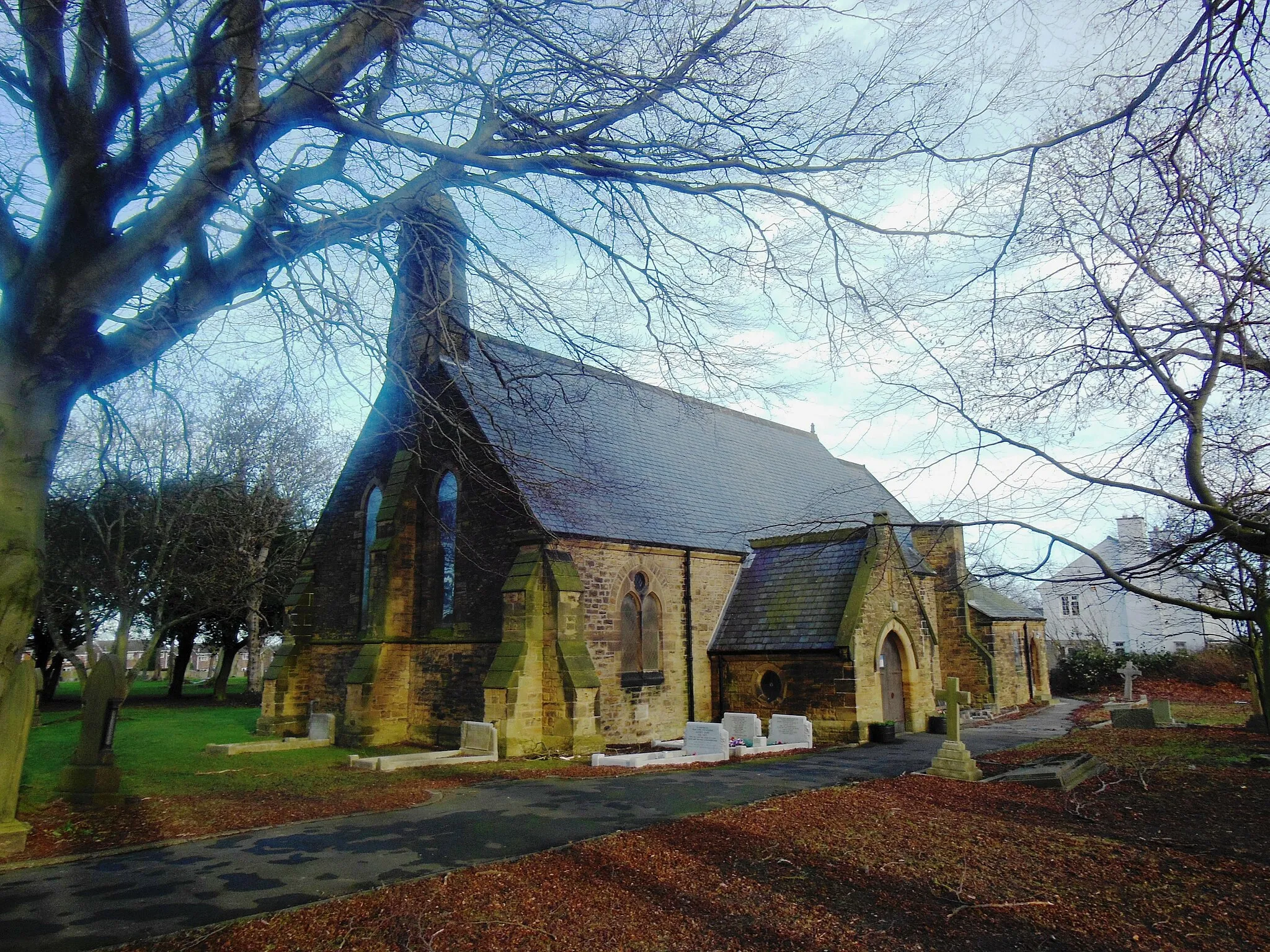
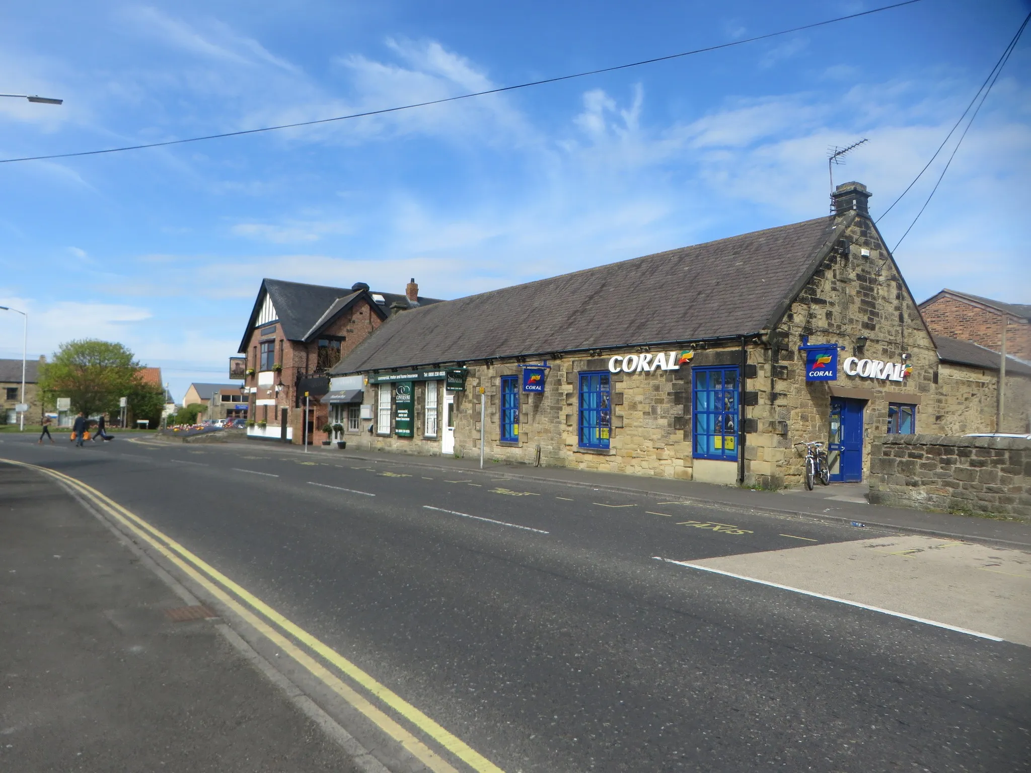
TranwellVillageTranwell is a picturesque location with beautiful countryside views and a historic country estate.
29 km
29 km
Colliers HillViewpointColliers Hill provides scenic views across the surrounding countryside.
35 km
35 km
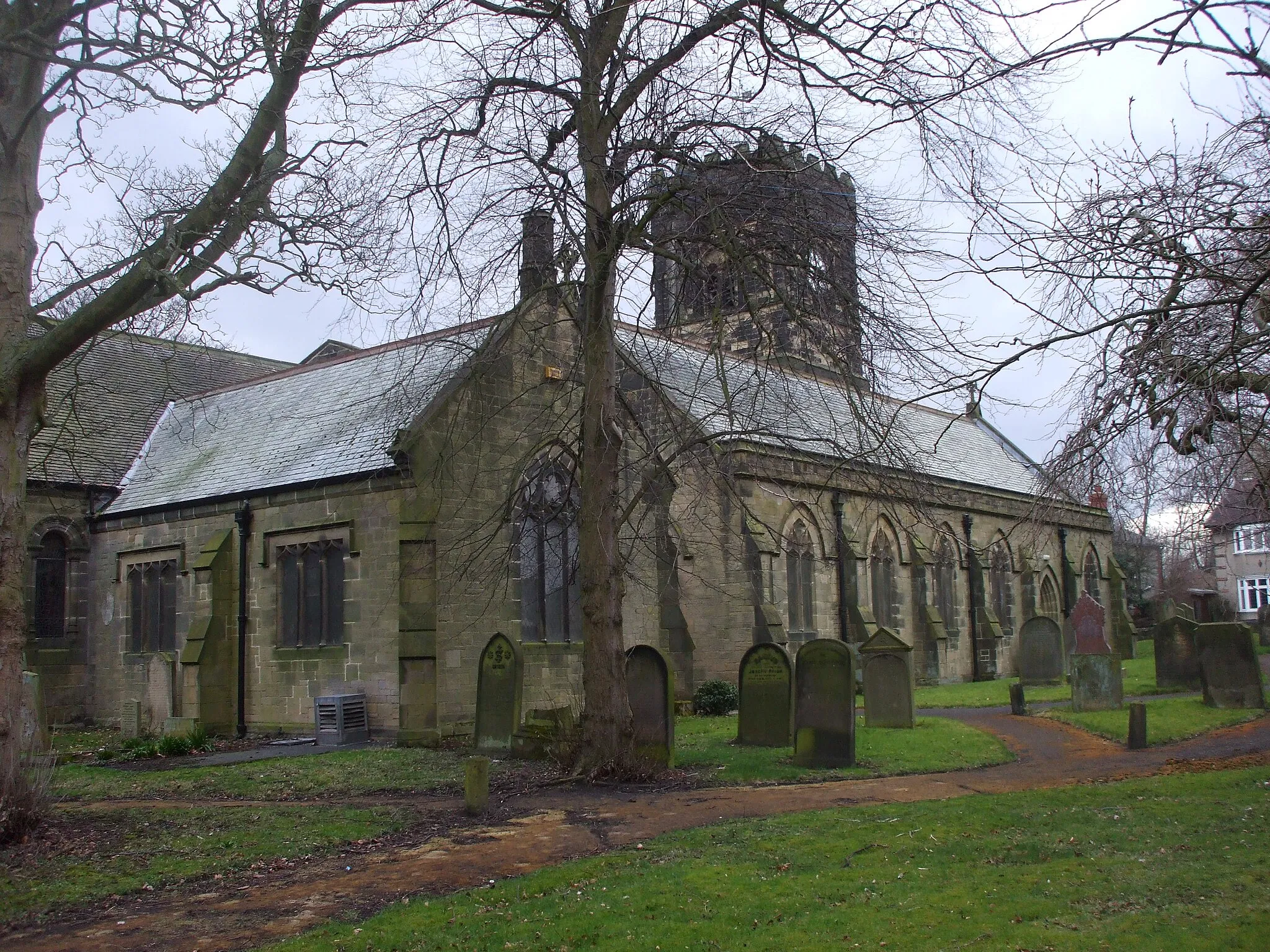
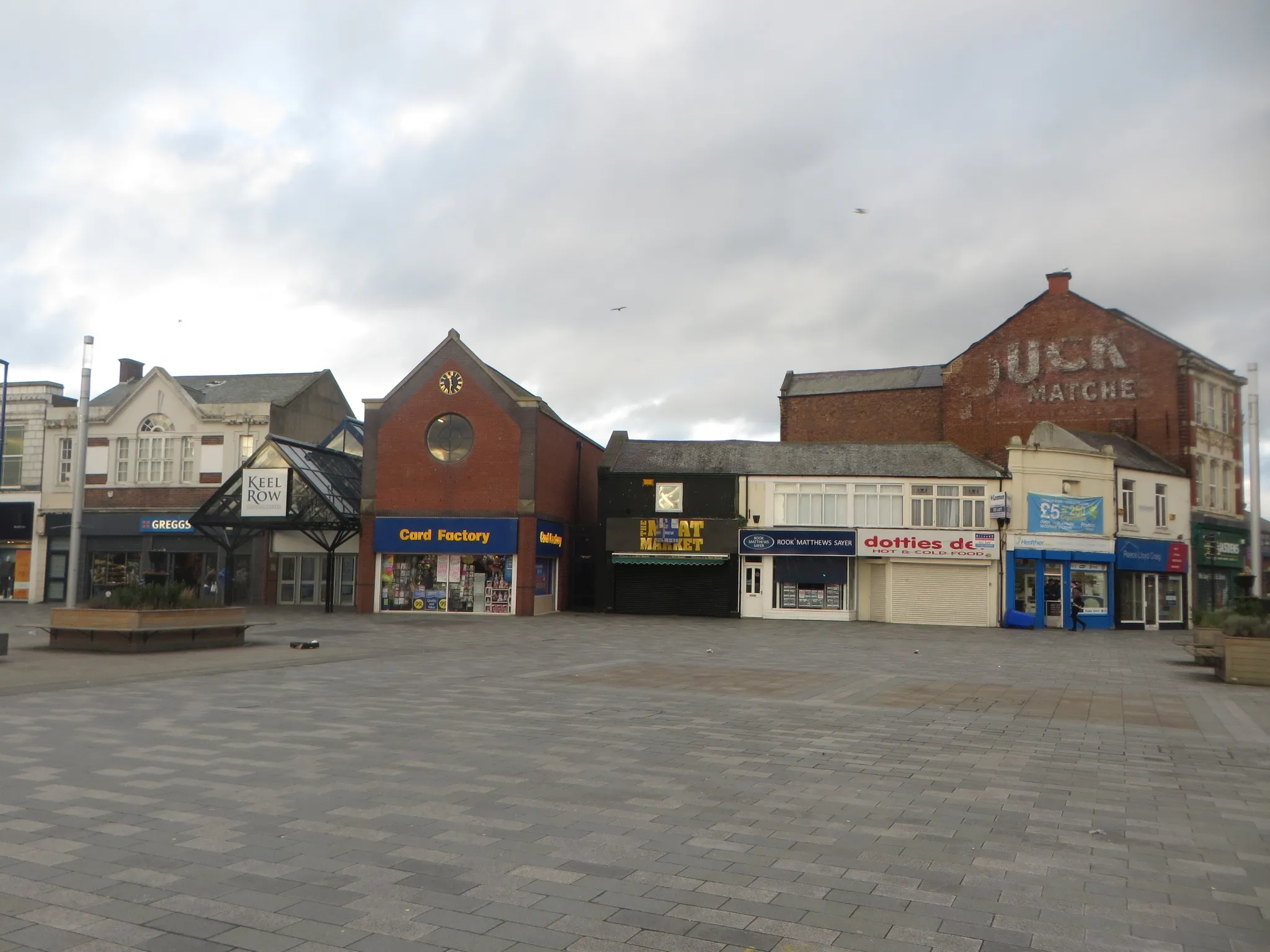
AshingtonTownAshington, the starting point of the route, is a former mining town with a charming community.
38 km
38 km
Finish: West Sleekburn Village centerAshington: Coastal Scenery and Challenging Rides
Cycling routes from Ashington:
Ashington to Ellington Blyth and Bebside Gravel Loop Ashington to Ulgham Loop Northumberlandia and Colliers Hill Road Ride Northumberland Countryside Road Loop Ashington to Woodhorn Gravel Route Choppington to Tranwell Scenic Route Coast and Castles Gravel Route Jarrow to Ashington Gravel Adventure Northumbrian Landscapes Road Ride
Cycling routes nearby: