Banks and Hills
A gravel cycling route starting from Welling
Discover the stunning views and challenging terrain of areas near Welling
Map
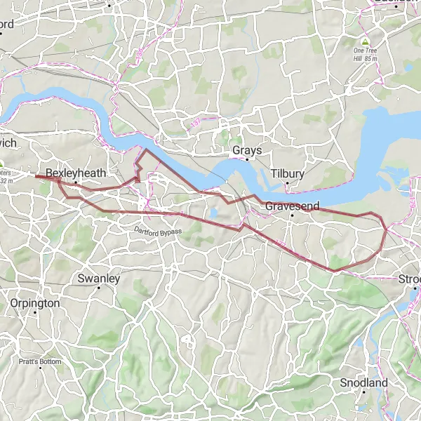
The Banks and Hills route near Welling takes you on a 64km gravel adventure with a total ascent of 466m. This route showcases the scenic highlights of Barnehurst, Northfleet, Barrow Hill, Shorne, Dartford, and Welling. The terrain is moderate, suitable for well-trained amateurs looking for a thrilling cycling experience.
gravel
64 km
466 m
Tough
Route profile
Highlights on the route
0 km
0 km
Start: Locality centerWelling: Leisurely cycling along the River Thames in Welling.
Welling is a locality situated in Outer London — East and North East, United Kingdom. As a cyclist, you can enjoy a mix of urban and suburban cycling routes while exploring Welling. It provides convenient access to cycling paths along the River Thames, such as the Thames Path. While not well-known for famous climbs or cycling spots, Welling offers a cyclist-friendly environment with relatively low traffic volume. It is a great location for leisure rides and casual cycling adventures.4 km
4 km
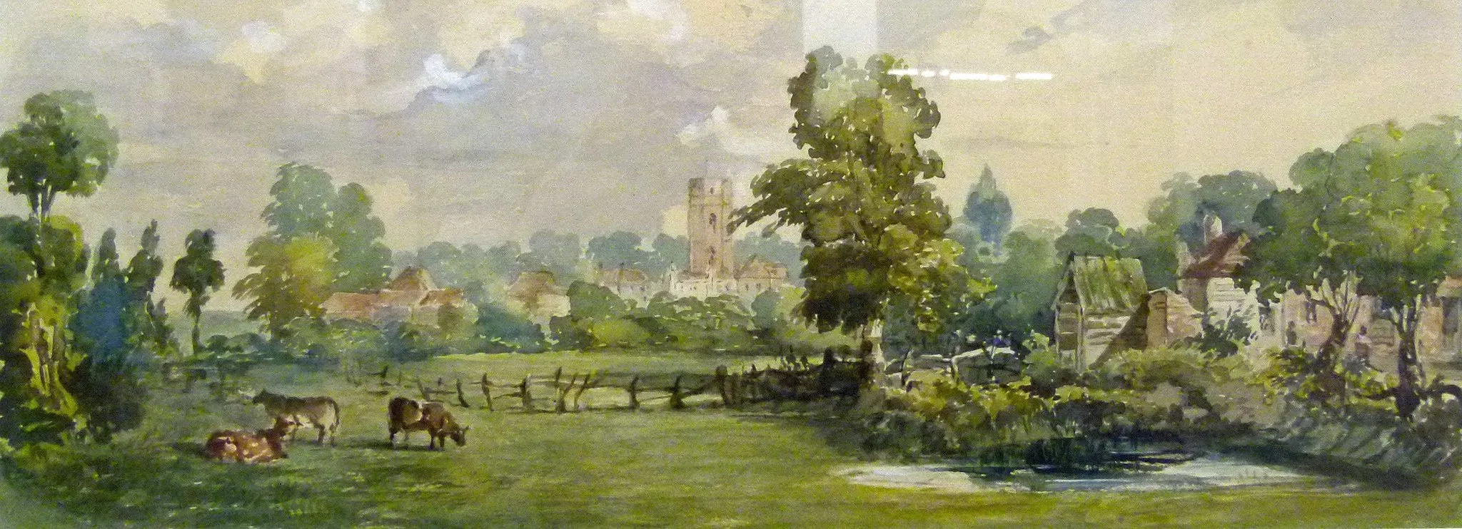
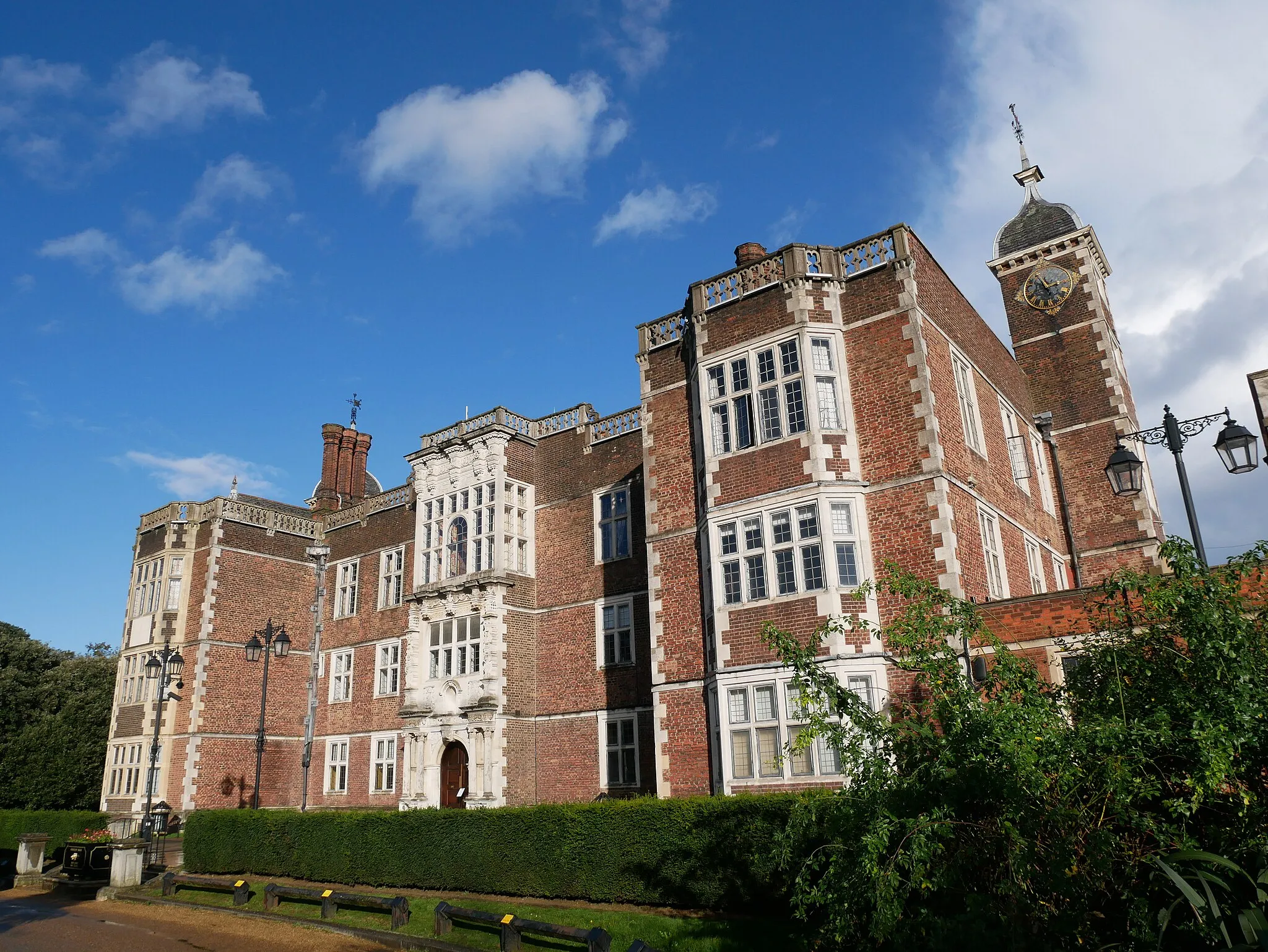
BarnehurstSub-urbBarnehurst offers picturesque landscapes alongside the riverside.
23 km
23 km
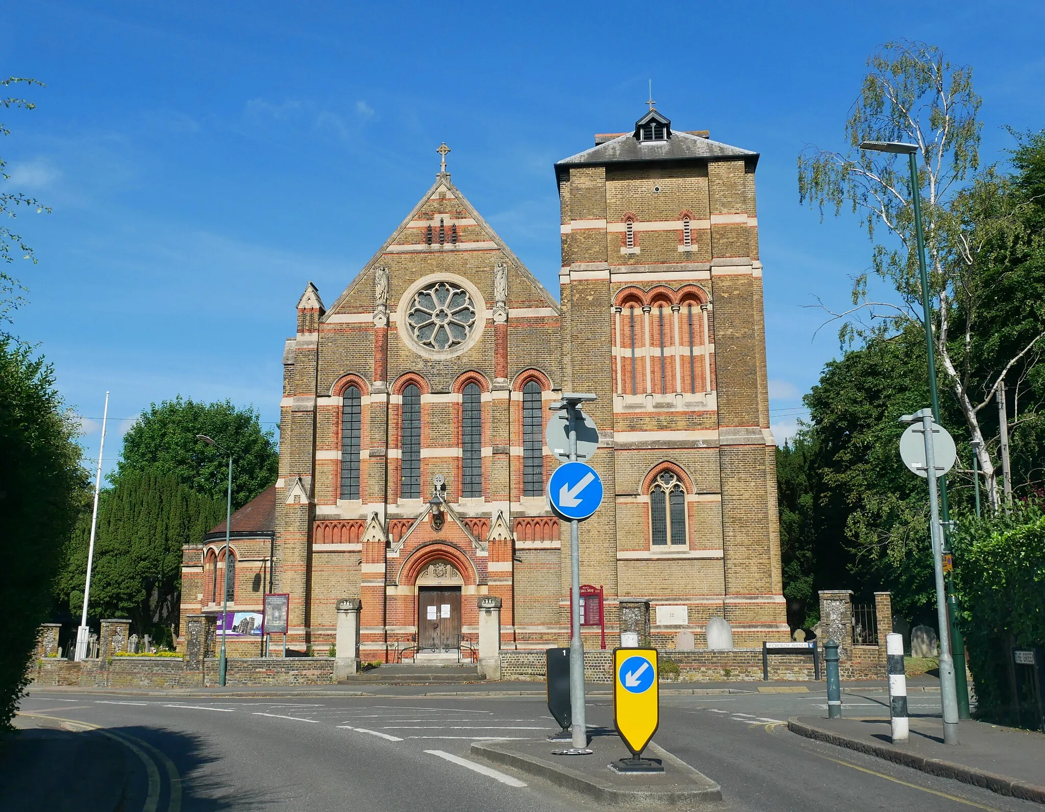
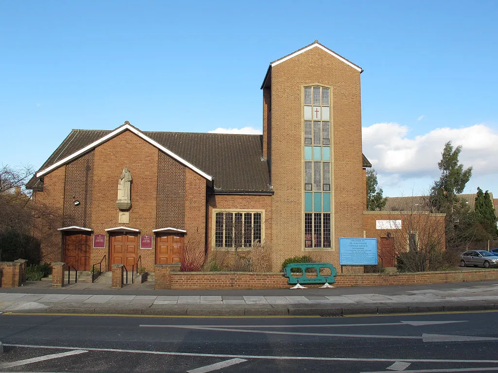
NorthfleetTownExplore the historic town of Northfleet and enjoy its cultural charm.
32 km
32 km
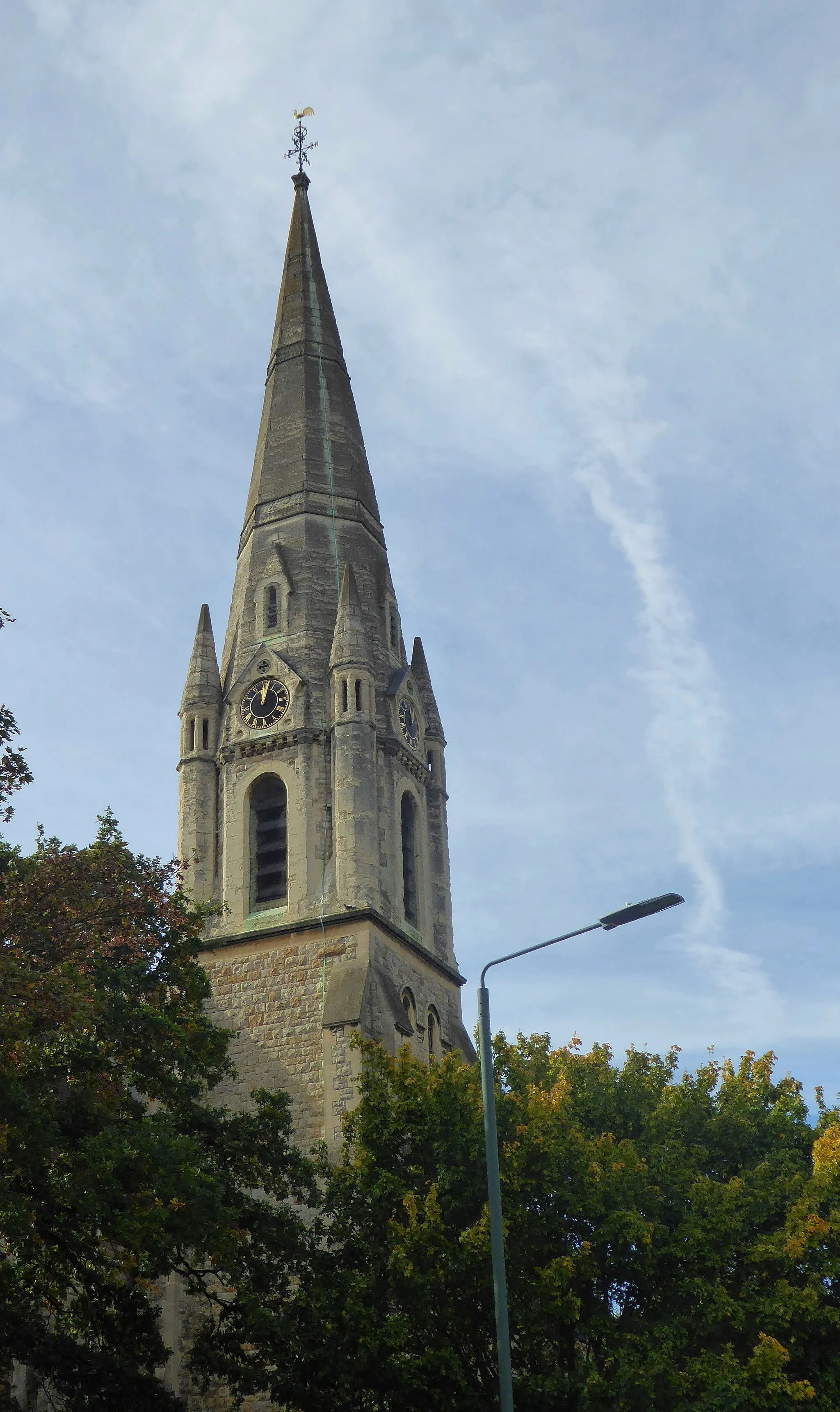
Barrow Hill5 mPeakGet mesmerized by the beautiful scenery at Barrow Hill.
37 km
37 km
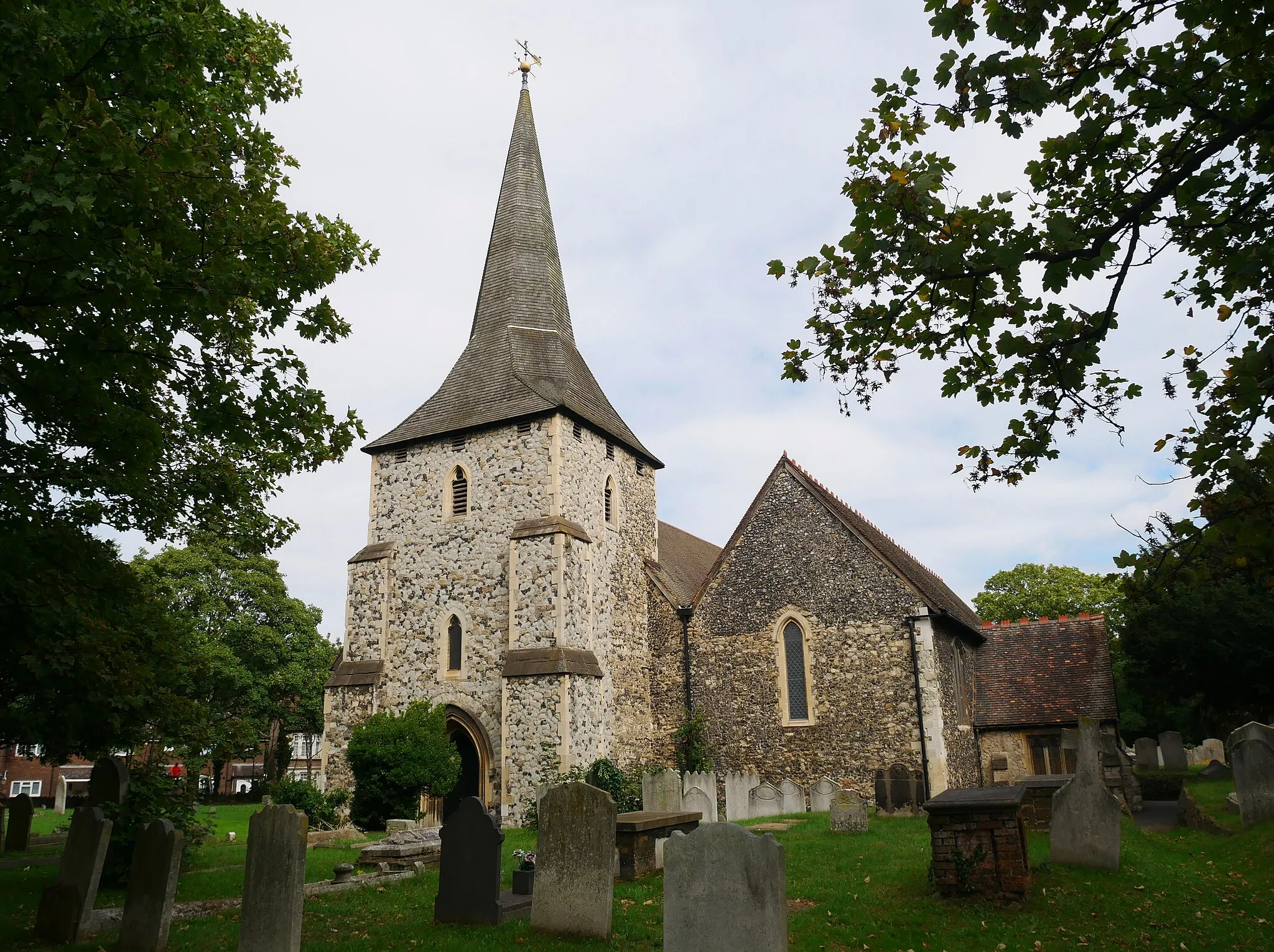
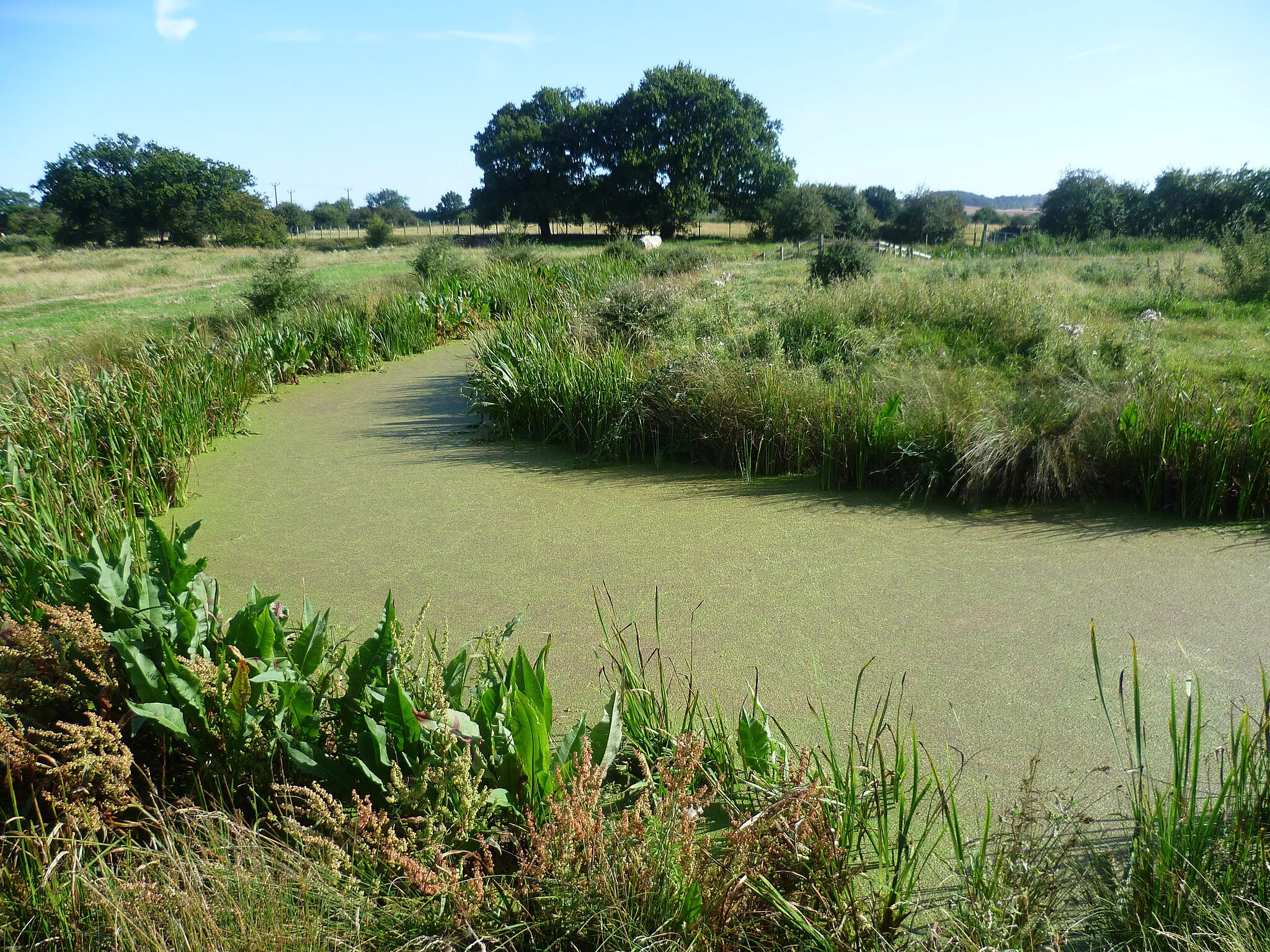
ShorneVillageExperience the natural beauty of Shorne village.
55 km
55 km
DartfordTownImmerse yourself in the vibrant city of Dartford.
64 km
64 km
WellingSub-urbStarting and ending in Welling, take in the local sights before your cycling adventure.
64 km
64 km
Finish: Locality centerWelling: Leisurely cycling along the River Thames in Welling.
Cycling routes nearby: