Kentish Countryside Challenge
A road cycling route starting from Welling
Take on the challenge of scenic rural roads and discover the beauty of Kentish countryside.
Map
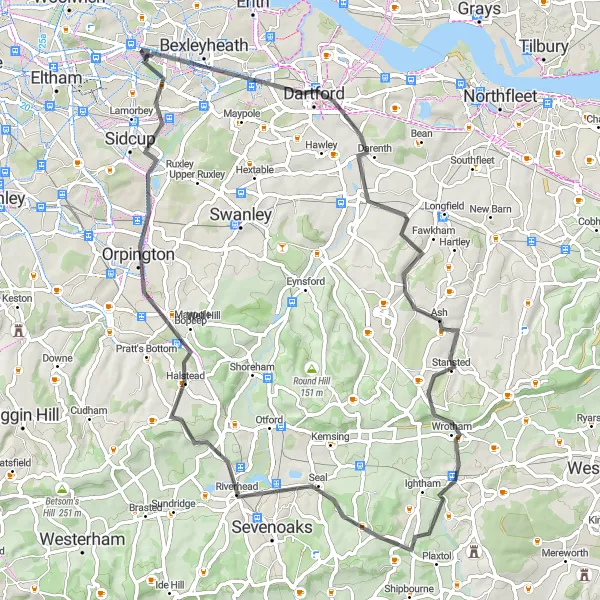
Prepare yourself for a challenging 70 km road route through the picturesque Kentish countryside. With a total ascent of 710 meters, this route near Welling offers stunning views and several moderate to challenging climbs. Pass through Dartford, Borough Green, Dunton Green, Orpington, and Blackfen, exploring charming villages, historic landmarks, and beautiful landscapes along the way.
road
70 km
710 m
Savage
Route profile
Highlights on the route
0 km
0 km
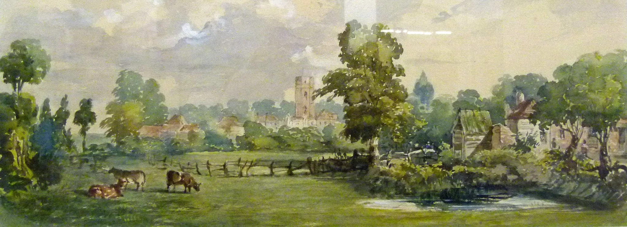
Start: Locality centerWelling: Leisurely cycling along the River Thames in Welling.
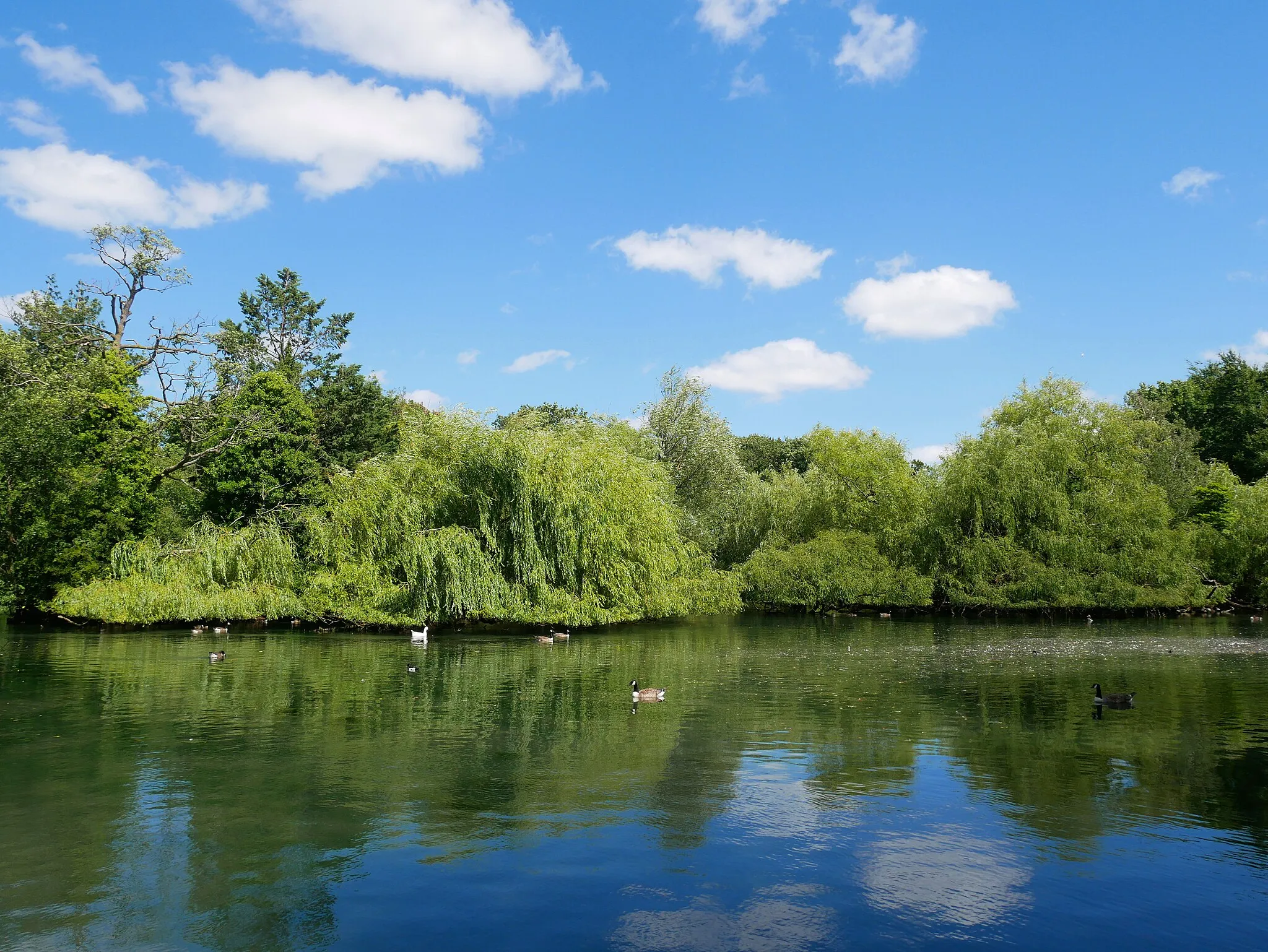
Welling is a locality situated in Outer London — East and North East, United Kingdom. As a cyclist, you can enjoy a mix of urban and suburban cycling routes while exploring Welling. It provides convenient access to cycling paths along the River Thames, such as the Thames Path. While not well-known for famous climbs or cycling spots, Welling offers a cyclist-friendly environment with relatively low traffic volume. It is a great location for leisure rides and casual cycling adventures.8 km
8 km
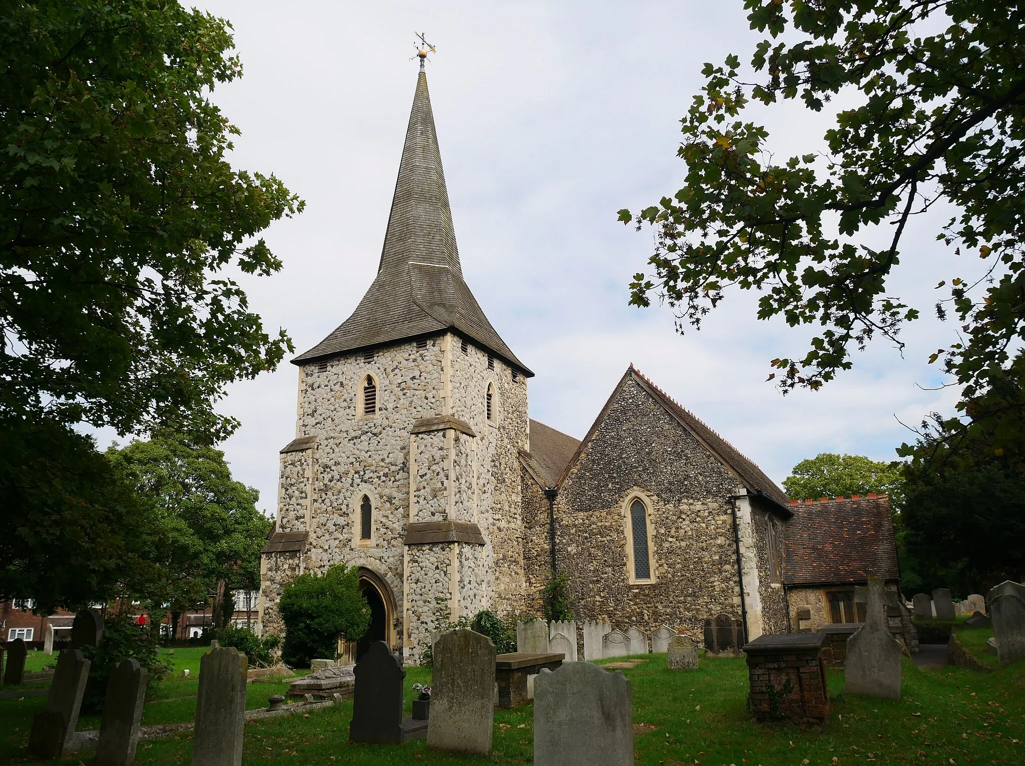
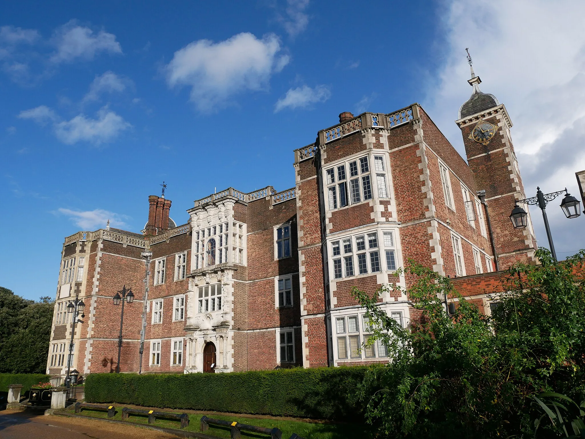
DartfordTownMake a stop in Dartford and visit Dartford Heath, an ancient heathland nature reserve known for its diverse wildlife and beautiful walking trails.
33 km
33 km
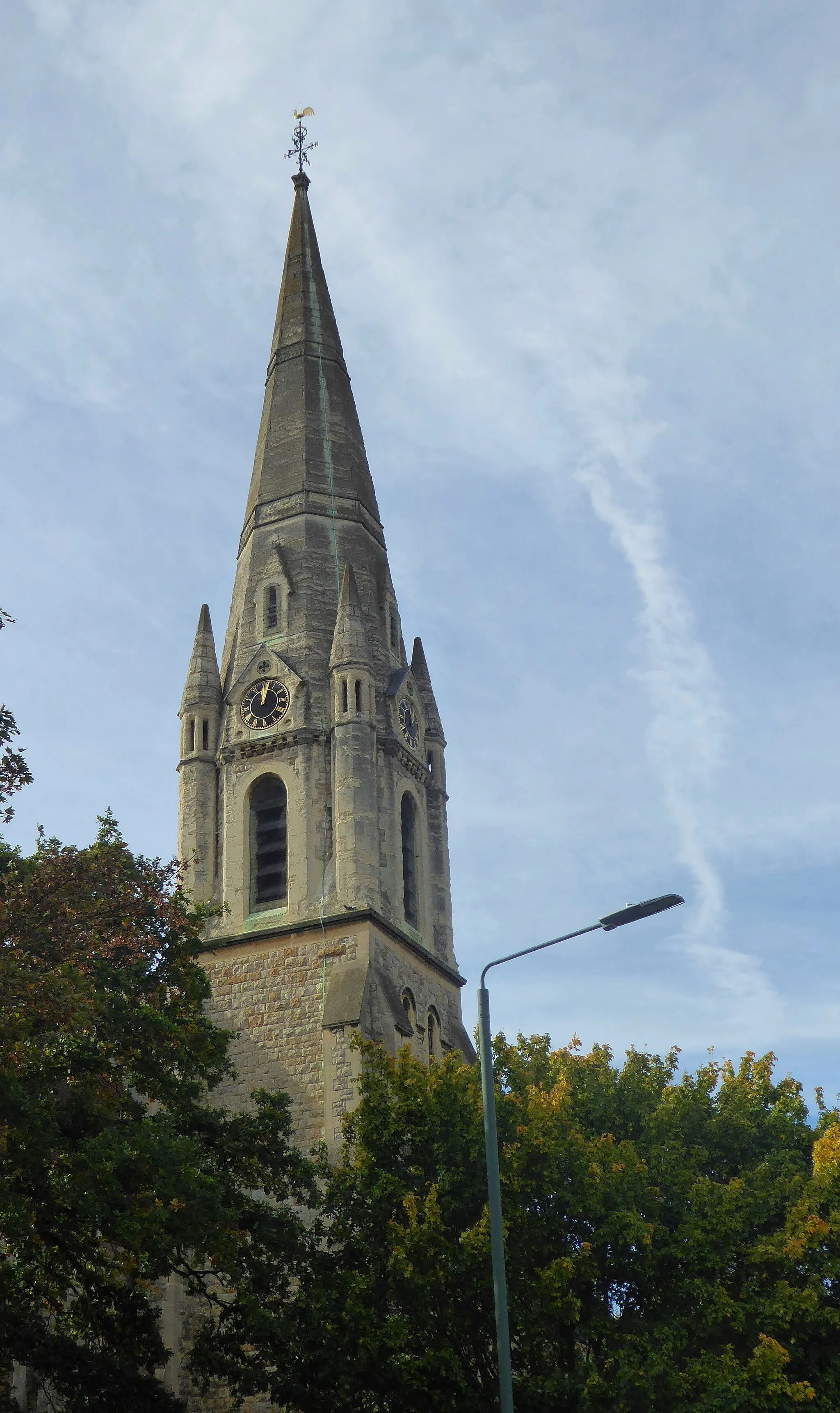
Borough GreenVillageExplore Borough Green, a quaint village with pretty thatched cottages, a historic church, and a local farmer's market on weekends.
47 km
47 km
Dunton GreenVillageTake a break in Dunton Green and discover the picturesque Polhill Arms, a traditional English pub located in a converted 17th-century farmhouse.
59 km
59 km
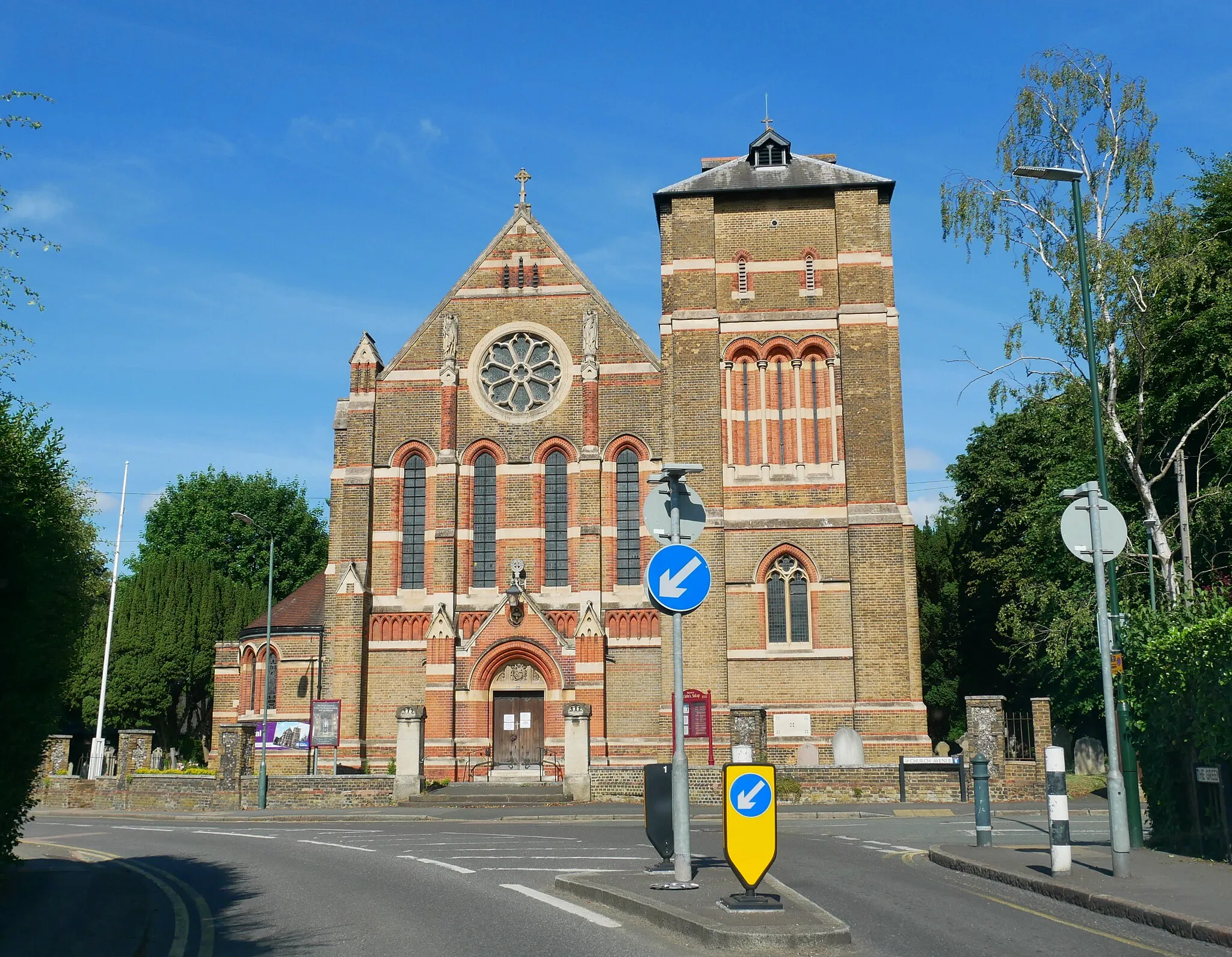
OrpingtonTownVisit the charming village of Orpington with its historic buildings, gardens, and bustling high street filled with shops and cafés.
69 km
69 km
BlackfenSub-urbPass through Blackfen, a suburban area known for its leafy streets and green spaces, including the scenic Tarn Walk and Falconwood Meadow.
70 km
70 km
Finish: Locality centerWelling: Leisurely cycling along the River Thames in Welling.
Cycling routes nearby: