Historic Castles and Rural Landscapes
A gravel cycling route starting from Welling
Explore historic castles and enjoy rural landscapes
Map
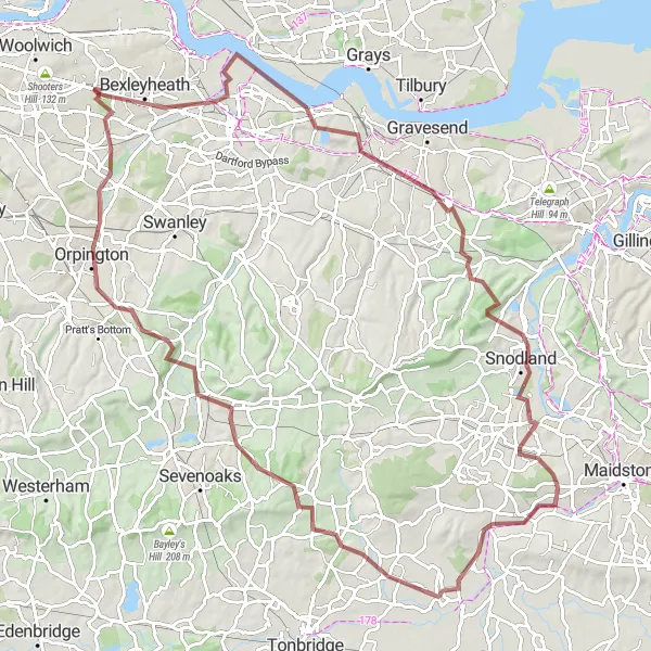
Venture into a 103km gravel route showcasing the charm of Bexleyheath, Greenhithe, Snodland, East Peckham, Otford, St Mary Cray, and Blackfen. This route includes an ascent of 1047m, making it perfect for seasoned gravel riders who enjoy challenging terrains. Witness historic castles and idyllic rural landscapes along the way.
gravel
103 km
1047 m
Savage
Route profile
Highlights on the route
0 km
0 km
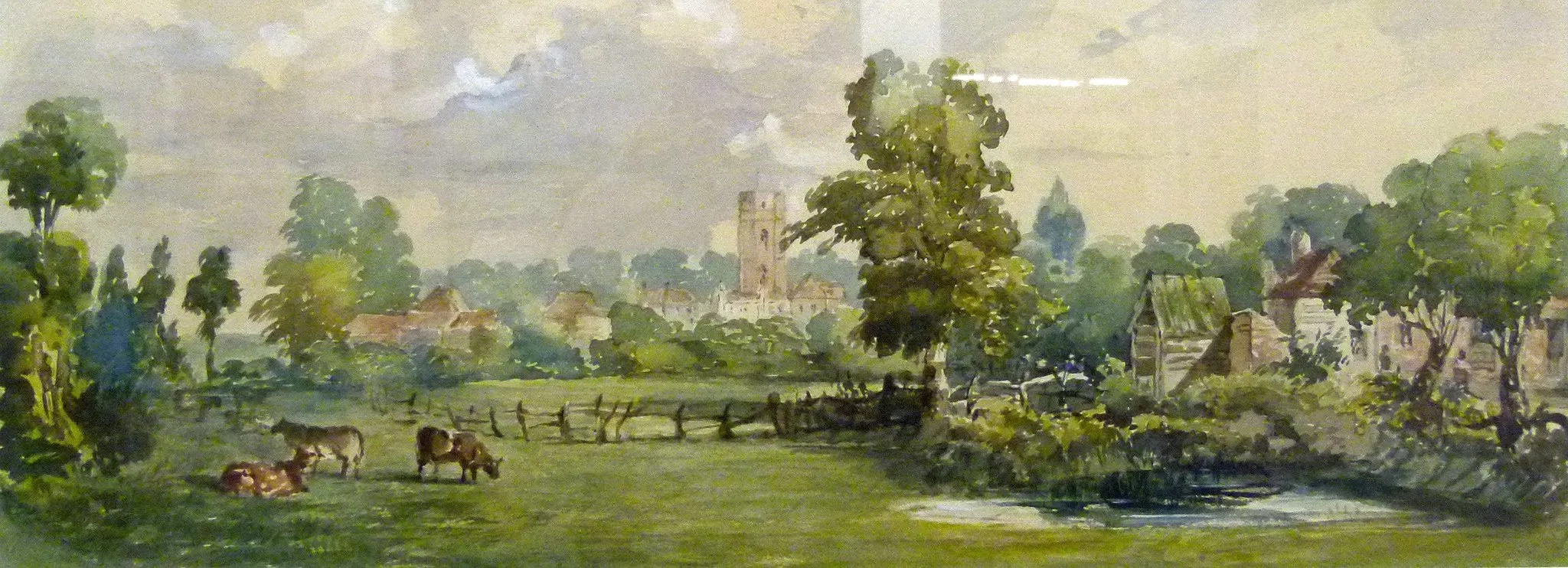
Start: Locality centerWelling: Leisurely cycling along the River Thames in Welling.
Welling is a locality situated in Outer London — East and North East, United Kingdom. As a cyclist, you can enjoy a mix of urban and suburban cycling routes while exploring Welling. It provides convenient access to cycling paths along the River Thames, such as the Thames Path. While not well-known for famous climbs or cycling spots, Welling offers a cyclist-friendly environment with relatively low traffic volume. It is a great location for leisure rides and casual cycling adventures.3 km
3 km
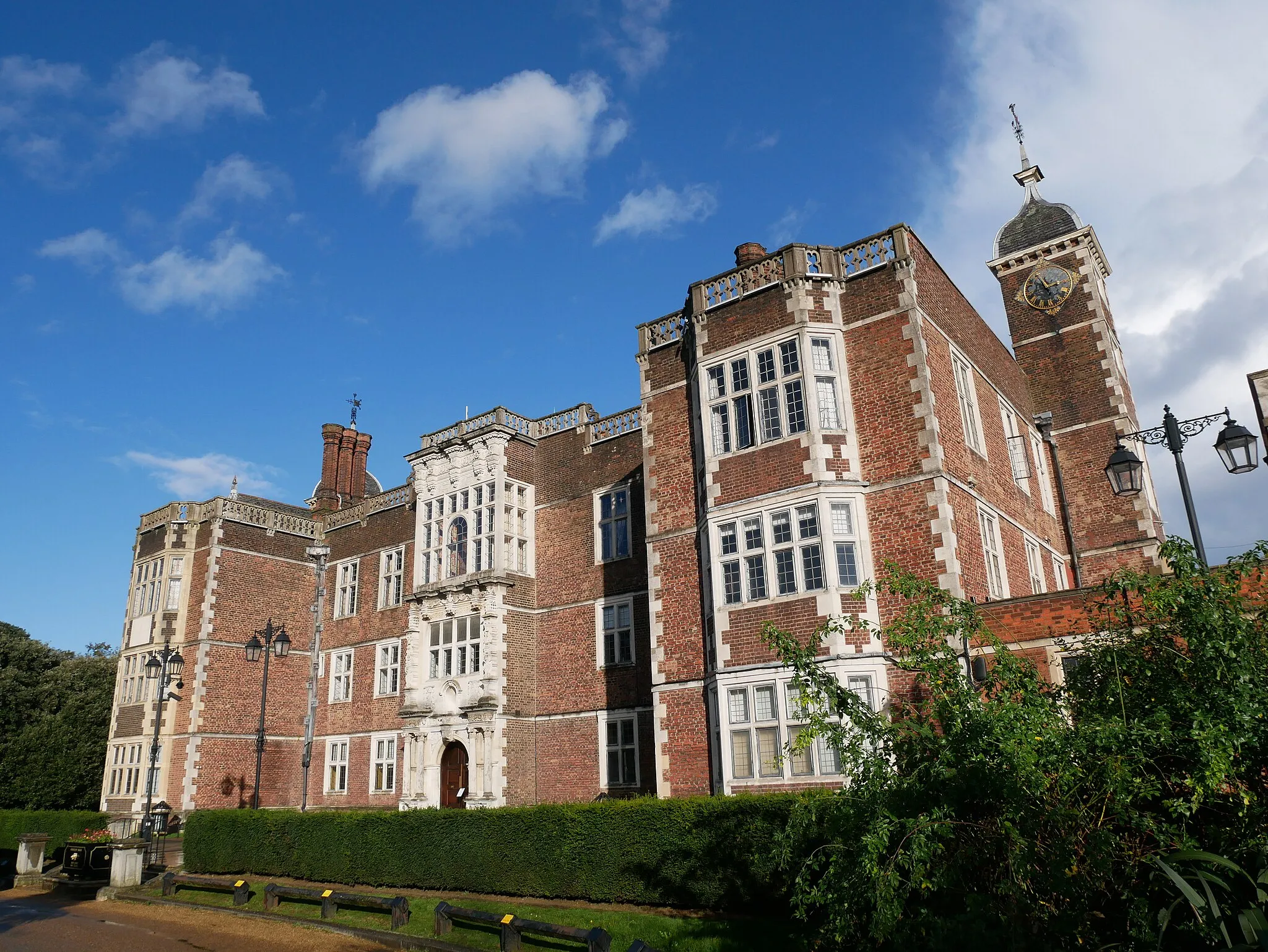
BexleyheathTownBexleyheath features a blend of historic sites, excellent shopping avenues, and pretty parks.
17 km
17 km
GreenhitheVillageCycle through Greenhithe and explore its maritime heritage and lovely waterfront area.
40 km
40 km
SnodlandTownDiscover the beauty of Snodland and ride through its picturesque meadows and village greens.
60 km
60 km
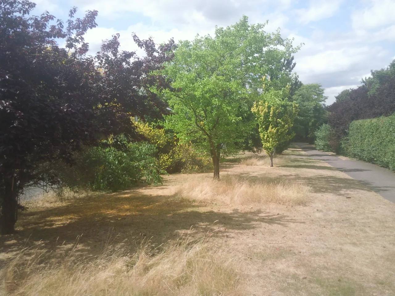
East PeckhamVillageExperience the rural tranquility of East Peckham and soak in its peaceful atmosphere.
81 km
81 km
OtfordVillageCycle through Otford, a peaceful village surrounded by stunning Kentish countryside.
94 km
94 km
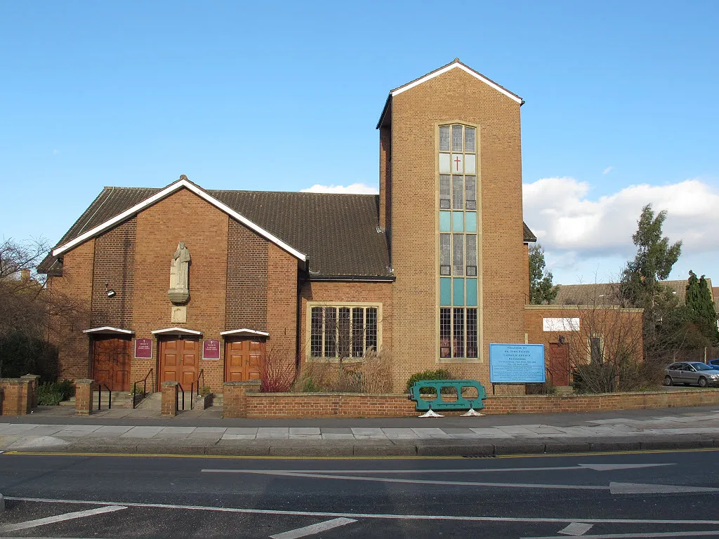
St Mary CraySub-urbTrace the history of St Mary Cray, a charming suburban town with a rich heritage.
102 km
102 km
BlackfenSub-urbPass by Blackfen, an area known for its local shops and green open spaces.
103 km
103 km
Finish: Locality centerWelling: Leisurely cycling along the River Thames in Welling.
Cycling routes nearby: